Multipitch Atlas

La Civa

Le Socle de la Candelle (Sugiton) · Calanques · France

Read the cautionsBail with caveatsBolting confidence: medium

The classic of the Socle de la Candelle, the big plinth of white limestone below the Grande Candelle. Eight pitches slanting right to left, sustained at 5c with a 6a slab, steep and athletic for the grade and well polished by sixty years of traffic. Often combined with a route on the Candelle above for one of the great days out in the Calanques.

The Grande Candelle and, below it, the wall of the Socle seen from the seaPhoto: Michmuch06 · CC BY-SA 3.0

Photo

The Grande Candelle and, below it, the wall of the Socle seen from the seaPhoto: Michmuch06 · CC BY-SA 3.0
Hardest pitch
6a
Pitches
8
Length
170 m
Approach
60 min
Aspect
S
South-facing
Rope
1×50 m or longer
walk-off
Read before you go

Bolted and very popular, but the bolts date from 1993, are moderately spaced on polished rock, and the upper pitches are friable; keep to the bolted line on pitch 6.

The route

Overview

La Civa, first climbed in 1964, takes a natural right-to-left diagonal across the Socle de la Candelle above the Calanque de Sugiton. It is continuous at 5c to 6a from the first move: two steep, athletic pitches, a crack, an easy link, a fine slab and then cracks and walls to the garden above the plinth. The rock is excellent on the first six pitches, less so above, and polished throughout. It appears in the 'Parois de légende' selection as the first half of a link-up with a route on the Grande Candelle, and the sector is busy: several routes share its sixth pitch, so queues form.

The climbing

Pitch by pitch

Pitches of La Civa
PitchGradeNotes
P15c+Athletic: an eroded groove with a crack, then a slab. About 30 m with roughly 8 bolts according to a 2023 report. The local guidebook grades it 6a.
P25c+A water-pocket slab and an athletic wall; traverse left, climb a crack for a few metres and traverse left again to the belay. Mahavishnu crosses here and continues up the crack. Guidebook 6a.
P35cA delicate step 2 m left, then a fine crack straight up.
P44cA wandering easy pitch, about 15 m to the left across slabs.
P56aGo left on easy ground, then climb a pleasant, not too steep slab with a few moves of 6a. You join Le Temple here at a comfortable belay. Guidebook 5c.
P65c+Climb the crack, then traverse left to come out directly at the garden. Continuing straight up the crack is the same grade but protected by rusty pegs. Shared with other routes. Guidebook 6a with a move of 6a+.
P75cA steep passage above the belay. The rock is less solid from here.
P85aStraight up to the top. Loose in places.

Getting there

Approach

To the parking

From Marseille follow signs for Luminy and park at the entrance to the university campus (leave nothing in the car). Bus B21 runs from Castellane to the terminus 'Luminy Parc des Calanques'.

On foot · about 60 min

About 1 hour. From Luminy follow the track to the Col de Sugiton, continue on the level track south-east and then take the path that runs along the foot of the wall. Gulliver adds detail: after the big bend below the Falaise du Virage with its large roofs, do not follow the waymarks that climb left but continue straight on, slightly downhill, on a faded red-marked path past a metal barrier; after the Couloir du Candelon, when level with the wall, leave the red marks for the obvious path slanting left to its foot. A large broken tree trunk marks the starts. La Civa is the third route, about 20 m right of the trunk, starting up a wide eroded groove; Mahavishnu (6b, name at the base) is to its left and Le Temple (5c+) starts up a cracked corner to its right.

Map of the walk-in

  • Crag
  • Parking

Loading map

The point marks the crag, not the exact start of the route.

Coordinates · crag

43.20944, 5.46528

Parking

43.23117, 5.43656

Luminy campus car park and bus terminus (camptocamp waypoint 106826)

Point from camptocamp waypoint 40732 (Calanques, Sugiton, Le Socle de la Candelle)

For your phone or watch

Download GPX

Contains the route point and parking. Opens in most mapping apps and GPS watches.

Points are compiled from published sources, with the precision stated above. They were not surveyed on the ground: check them against a current topo.

Getting down

Descent

On foot. From the top climb an easy ridge; at its end a cairned path leads left almost to the foot of the Arête de Marseille on the Candelle. Take a path going left (partly faded black marks, dashes or crosses) into the descent gully, minding parties below. Then either go all the way down the gully to pass back under the route; or leave it on the right at a small needle to return directly to the Col de Sugiton; or go up the gully to a chain on its left side, cross with the help of the chain and follow the black marks up to the GR and along it to the Col de Sugiton. Two abseils are also possible from the fifth belay.

Retreat

Bailing off the route

Bail with caveats

Camptocamp states that a descent in two abseils is possible from the fifth belay. Nothing is said about the lower belays or the rope needed, and the line slants leftwards, so abseils do not retrace the climb. Above the sixth pitch you are close to the garden and the walk-off.

Retreat from
The fifth belay, shared with Le Temple, by two abseils (stated). Belays below it are bolted, and retreat from them is assumed rather than documented.
Point of no return
None stated; after pitch 6 finishing is the easy way out.
Carry
Two ropes for the abseils from the fifth belay, since their length is not given.
Basis
Part stated, part inferredThe two-abseil descent from belay 5 is stated on camptocamp; the rope requirement and the lower belays are inferred.

Partly inferred from the route facts

Safety

Hazards

  • The rock is polished, and the first pitch is a stiff, steep start that a 2023 party compared to British E1 or E2 despite its 5c+ grade.
  • Bolts are moderately spaced and you climb between them; a 2026 party regretted not bringing cams.
  • Several routes cross (Mahavishnu on pitch 2, Le Temple from pitch 5) and it is easy to follow the wrong bolts or the old pegs.
  • The last two or three pitches have friable rock.
  • On the descent, do not go down the first attractive scree gully: it ends at a drop. Continue on the path to the large canyon-like gully.
  • In summer access to the Calanques massif is restricted or forbidden on high fire-risk days; check the daily prefecture bulletin before setting out.

Sun and weather

Conditions

South facing between about 130 and 300 m above the sea: a route for autumn, winter and spring, and too hot in summer. Camptocamp ascents run from October to May. Allow 2.5 to 4 hours on the route; parties who read the topo at every belay take longer.

Usual season · Jan to May, Oct to Dec

Sun on the wall · S-facing

Working out the sunlit hours for this month.

  • January (usual season): not yet worked out
  • February (usual season): not yet worked out
  • March (usual season): not yet worked out
  • April (usual season): not yet worked out
  • May (usual season): not yet worked out
  • June: not yet worked out
  • July: not yet worked out
  • August: not yet worked out
  • September: not yet worked out
  • October (usual season): not yet worked out
  • November (usual season): not yet worked out
  • December (usual season): not yet worked out

Sun on the wallDaylight, wall in shade● Usual season

Estimated from the wall's aspect only. Ignores surrounding terrain, gullies and the wall's exact shape. Clock times are local to the wall (Central European time), for the 15th of each month.

Monthly climate averages for Calanques, 1991-2020
MeasureJan (usual season)Feb (usual season)Mar (usual season)Apr (usual season)May (usual season)JunJulAugSepOct (usual season)Nov (usual season)Dec (usual season)
Mean daily high °C101114162024272723191411
Mean daily low °C446913161919161385
Rain days 1 mm or more8769752369118

● marks the usual climbing season. Averages for 1991-2020 at about 182 m. Area climate from Open-Meteo reanalysis. Temperatures are adjusted to the height of the crag; rain comes from a grid cell of about 10 to 25 km, and summer highs on sea cliffs can read a few degrees low. The wall and valley can differ. Data: Open-Meteo, CC BY 4.0.

What to carry

Gear

The sources give no quickdraw count; a 2023 report counted about 8 bolts on the 30 m first pitch. A 50 m single rope is enough for the climbing and the walk-off (a 2026 party linked the last two pitches on 50 m). Some parties carry a few wires or small cams; medium cams are only needed for the peg-protected crack variants. Helmet.

Checklist

Quickdraws
Number not given in the sources
Rope
1×50 m or longer (walk-off)
Helmet
One each
Abseil device and prusik
The descent or the retreat involves abseiling

Derived from the route data; check it against a current topo

From climbers

Reader reports

Reader reports are not being collected yet. Until they are, check a current topo and the local club or guidebook publisher for recent changes to La Civa.

Worth knowing

Tips

  • The grades in Jean-Louis Fenouil's guidebook (6a, 6a, 5c, 4c, 5c, 6a, 5c, 5a) are closer to how it feels today.
  • Where the crack of pitch 6 forks you can take the left branch and an unequipped but easy ramp leftwards straight to the sixth belay, avoiding the drag of the horizontal traverse.
  • If time allows, continue up the Grande Candelle: the Arête de Marseille, the Couloir suspendu and La Centrale are the usual choices.
  • Avoid weekends and holidays if you can; the shared sixth pitch is a bottleneck.

Open questions

Where sources disagree

  • Grades: camptocamp gives 5c+, 5c+, 5c, 4c, 6a, 5c+, 5c, 5a; Fenouil's guidebook, quoted on the same page, gives 6a, 6a, 5c, 4c, 5c, 6a, 5c, 5a; gulliver gives 6a, 6a, 5c, 4c for the first four. All agree on 6a as the maximum.
  • Protection: camptocamp's summary calls it a well-equipped sport route; a 2026 trip report and a 2023 British account both found it more spaced and suggested a few wires or cams.
  • Aspect: south on camptocamp, south-west on gulliver. Base altitude: 130 m on camptocamp, 70 m on gulliver.
  • Number of pitches: 8 on camptocamp; a British report describes five to seven depending on what you link.

Provenance

Sources

Same area

More in Calanques

All routes in Calanques
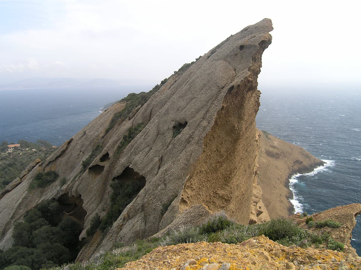
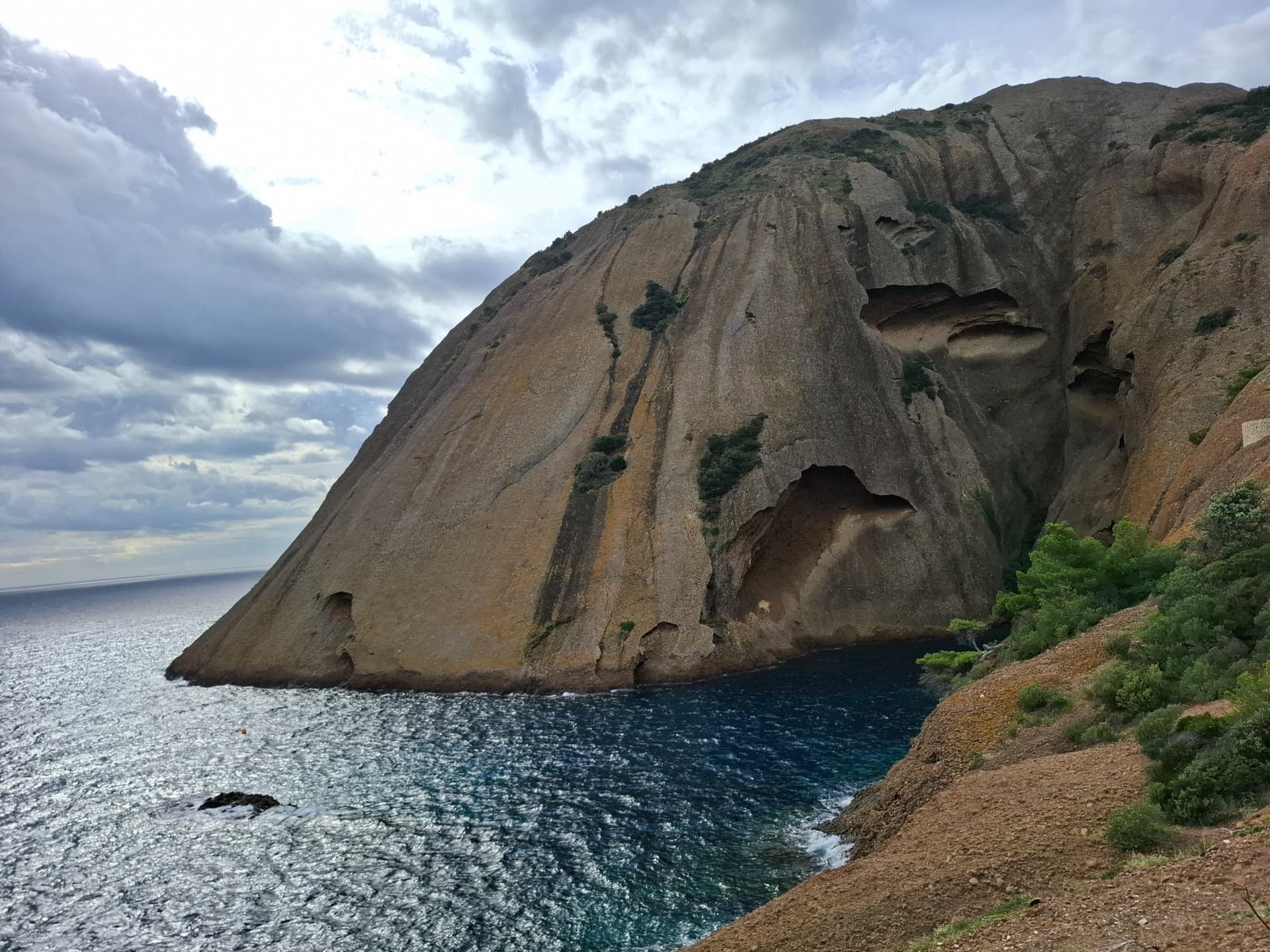
The east face of the Bec de l'Aigle, a single sweep of puddingstone falling into the Anse du Sec at La Ciotat, photographed on the approach to L'Atelier Bleu; the route climbs this face, the line is not marked.

France · Calanques

L'Atelier Bleu

An oddity: easy slabs and a long water-worn runnel up a dome of puddingstone above the sea, reached by abseiling into a cove from the Mugel park. The climbing is grade 3 and 4 on surprisingly solid pebbles. It was fully rebolted in 2024 and is a popular first multipitch.

4c6 pitches220 m
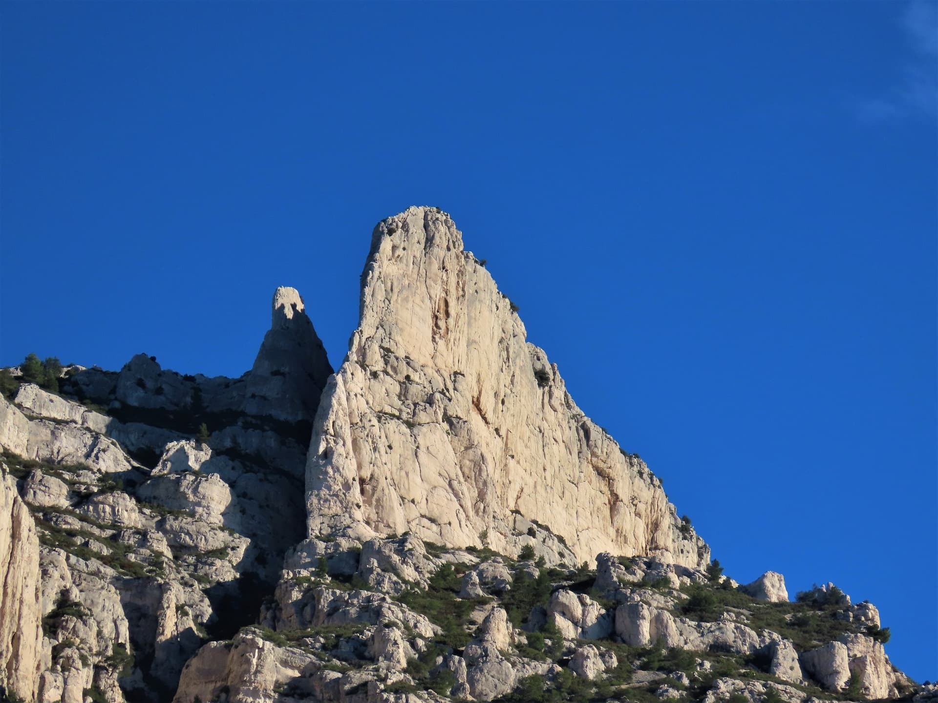
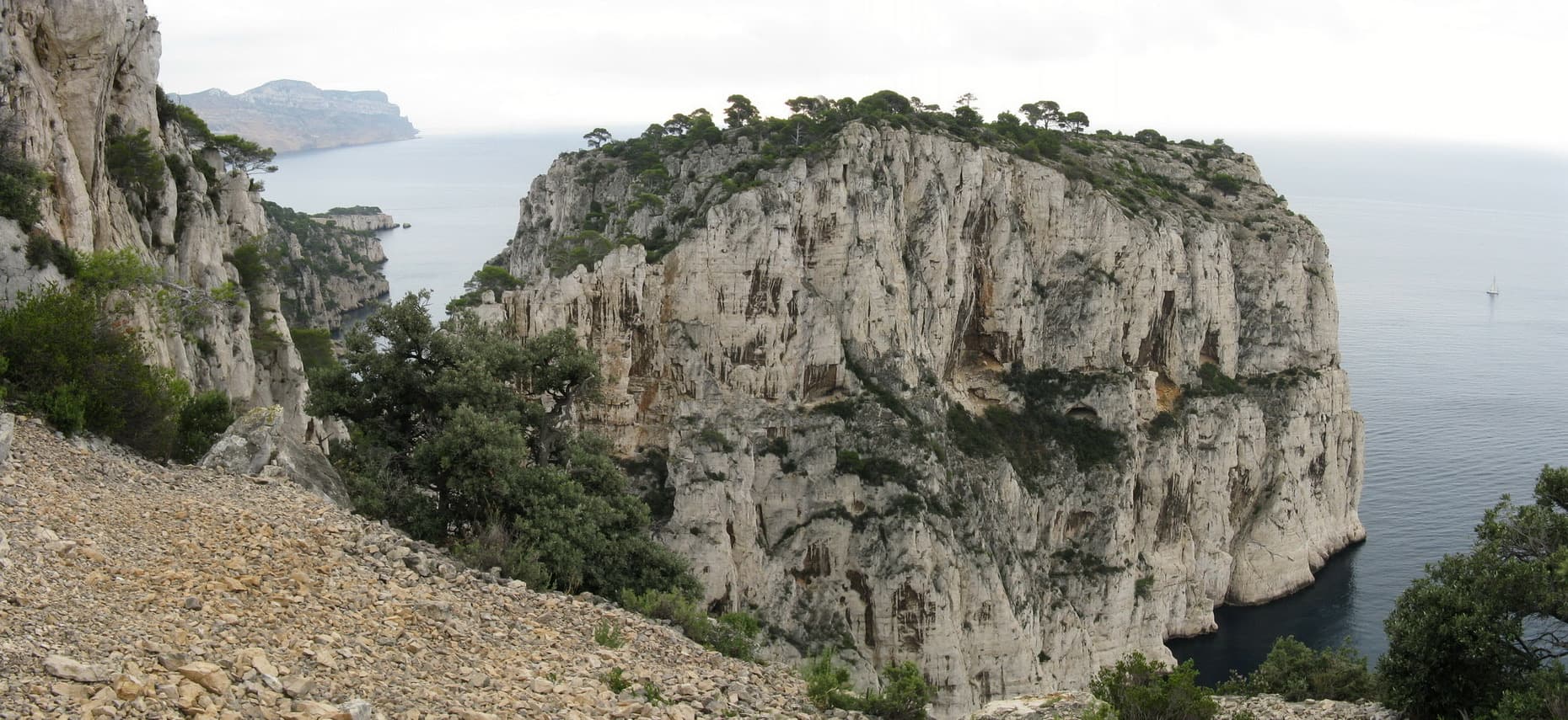
The spire of the Grande Candelle above its plinth of lower cliffs, seen from the Calanque de Sugiton; Armata Calanca climbs the plinth and then the south face to the summit, the line is not marked.

France · Calanques

Armata Calanca

The big modern classic of the Calanques: eleven pitches in three tiers from the foot of the Candelle plinth to the summit, sustained in the sixth grade on grey water-pocketed limestone above the sea. Two walking ledges split the day and offer escapes. The eighth pitch, a 6b+ diagonal along a flake, is the one people remember.

6c11 pitches320 m

One of the conglomerate summits of the Bec de l'Aigle above La Ciotat

France · Calanques

Piste Noire

An easy adventure on the brown pudding-stone of the Bec de l'Aigle at La Ciotat. You abseil into a sea-level gorge, traverse a few metres above the water and climb cobbles past two caves to the crest, finishing with an airy bolted ridge. The climbing is never hard; the unusual rock, the abseil approach and the setting make the day.

5b6 pitches150 m

Committing

The Castelvieil headland and its sea cliffs

France · Calanques

Vide et Eau

An airy pillar on the sea cliff of Castelvieil, the headland that closes the Calanque d'En Vau. You abseil 90 m from the plateau to a ledge above the water and climb back out on superb rough limestone covered in water pockets and tafoni: delicate, moderate and fairly sustained, with a traverse under an overhang to finish. Remote, quiet and exposed to the afternoon sun.

6a+5 pitches130 m

Committing

Around 6a · about 8 pitches

Similar elsewhere

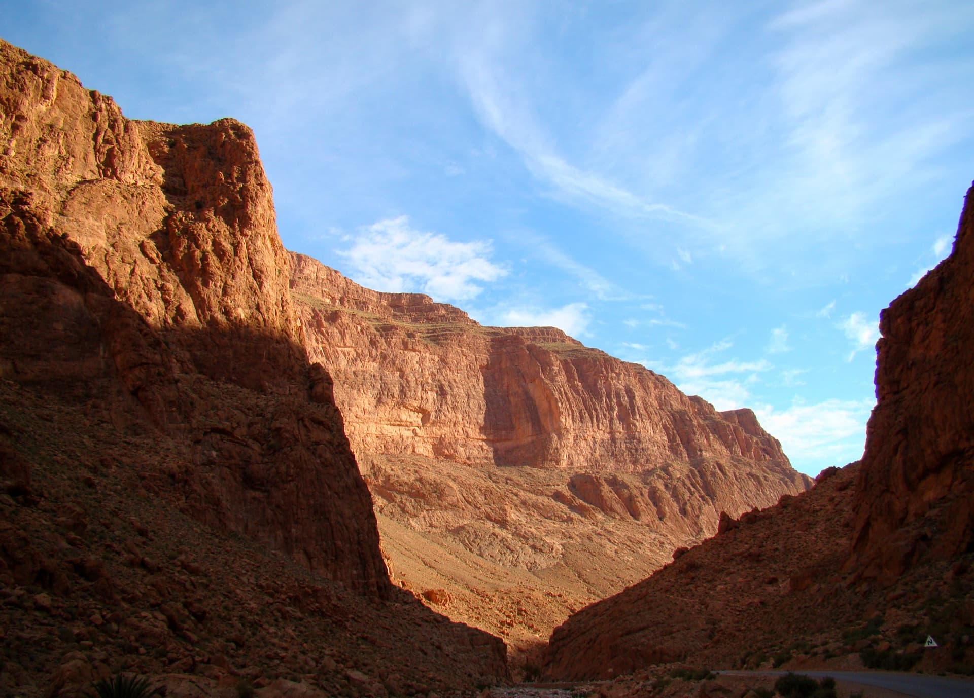
The Todra Gorge looking upstream from above the narrows in morning light. The Paroi du Levant is further up the valley and is not identifiable in this view.

Morocco · Todra Gorge (Todgha)

Hannah chez les grands

Eight pitches up the middle of the Levant wall, with the 6a on the first pitch and steady 5a–5c above. Morning sun. Camptocamp rates the commitment a little higher than the gorge-floor routes because of the length.

6a8 pitches320 m

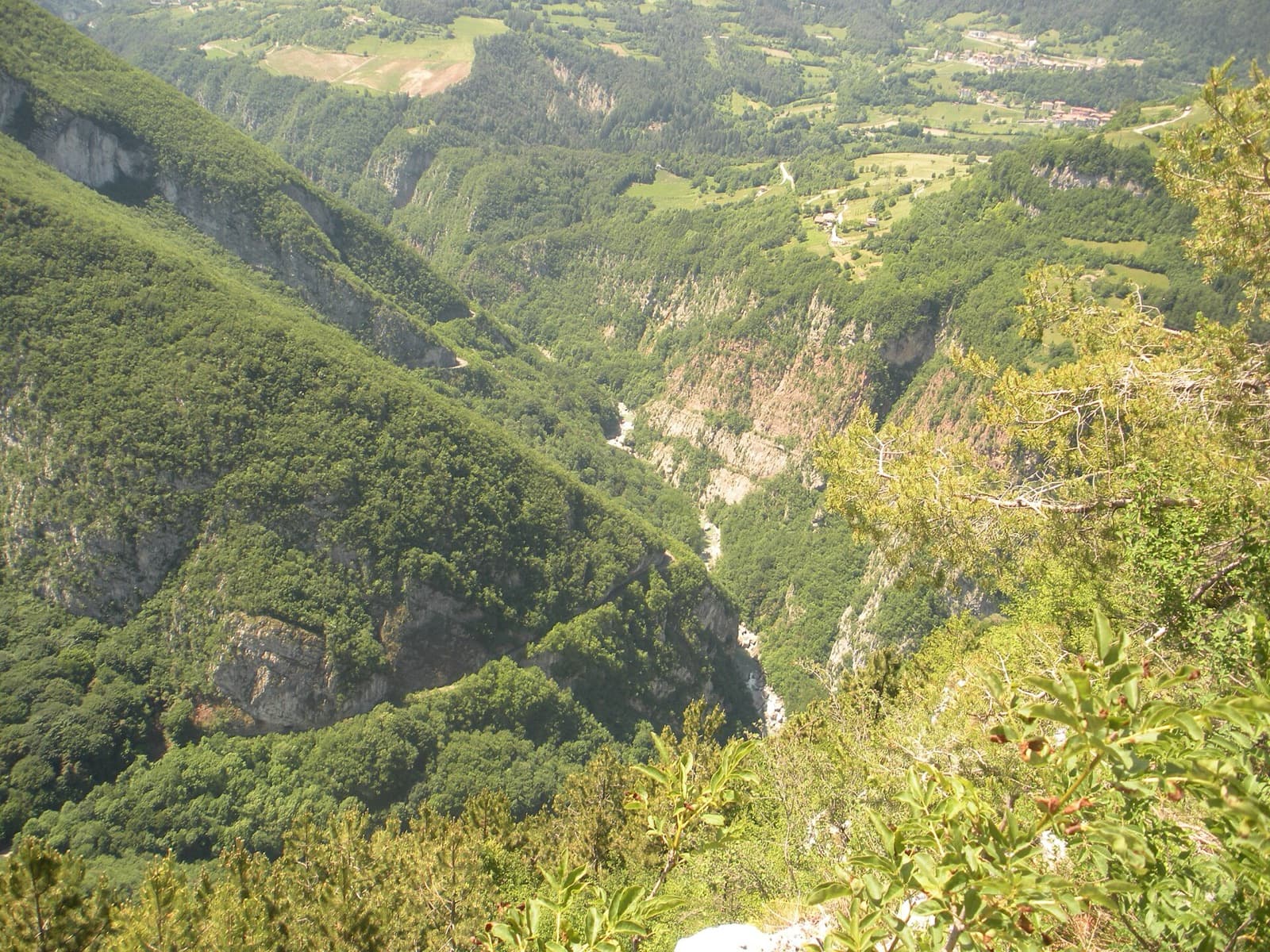
The wooded Limarò gorge of the Sarca, upstream of Sarche; the Parete del Limarò of the Piccolo Dain stands at the gorge's lower end, outside this view.

Italy · Arco & Valle del Sarca

Moon Bears

A popular plaisir line up the lower south-west wall of Piccolo Dain, starting at the gate of the weir in Sarche. Cracks and small corners lead to a fine 6a slab on water drops, then a long corner pitch. Expect queues: three routes share the opening traverse.

6a8 pitches235 m

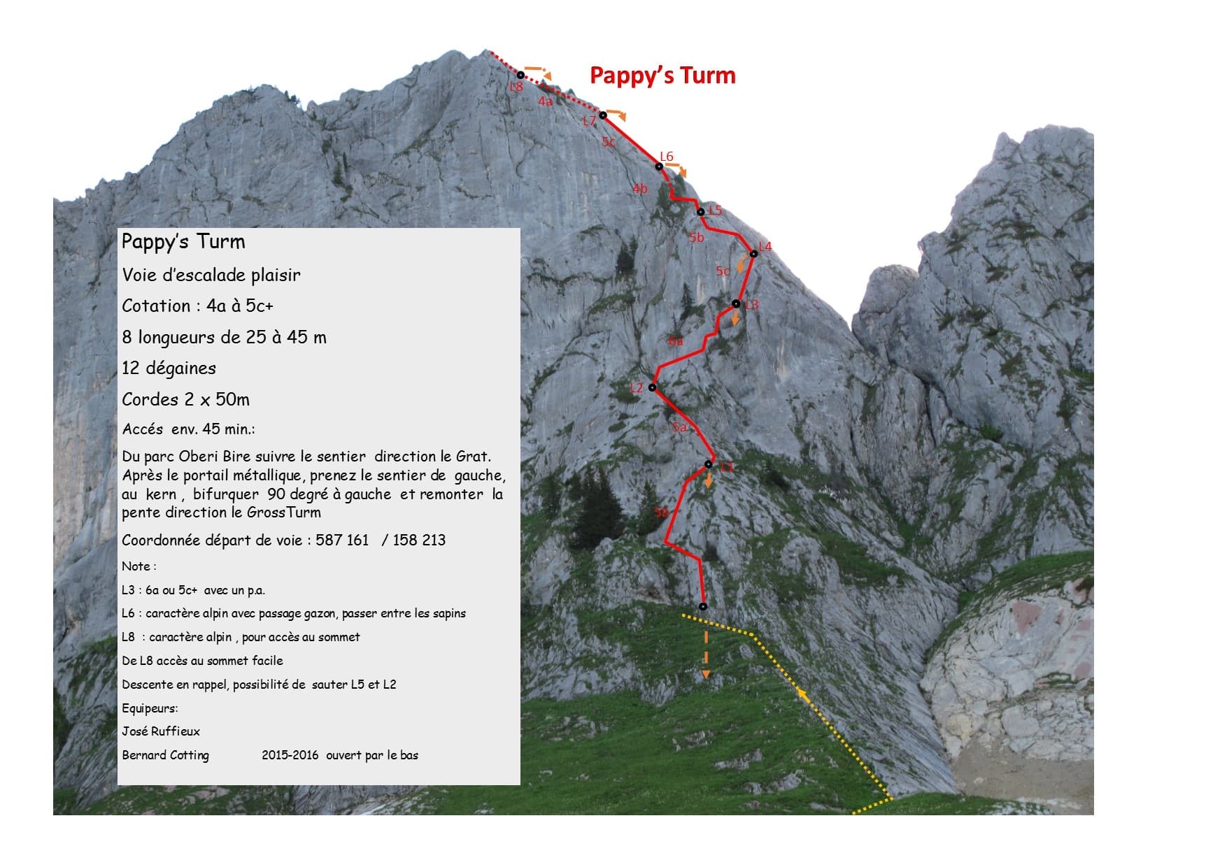
The first ascensionists' photo-topo of Pappy's Turm on the Gross Turm

Switzerland · Gastlosen

Pappy's Turm

A modern eight-pitch plaisir route up the east side of the Gross Turm, with a summit you can scramble to from the last belay. Mostly 5a to 5c on slabs and small pillars, with one delicate 6a traverse on pitch 3 that goes at 5c+ with a pull on a bolt. Pitches 3 and 4 feel stiff for the grade.

6a8 pitches250 m

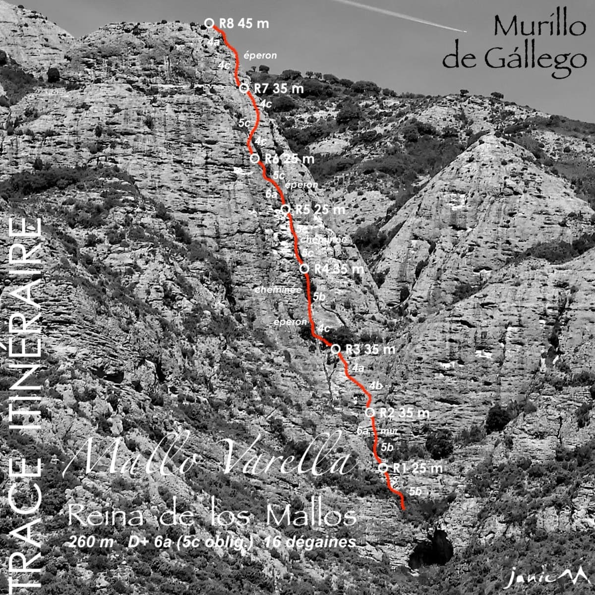
Photo-topo of Reina de los Mallos on Mallo Varella, Peña Rueba

Spain · Riglos & Agüero (Mallos)

Reina de los Mallos

A varied and unusual route: polished cobbles, a chimney belay in an old vulture nest, and an ochre corner. It is recent and not fully cleaned, and two earthy gullies are crossed on pitches 4 and 7.

6a8 pitches260 m

Compiled from published sources and last verified October 2026. Bolts, anchors and access change. Climbing is dangerous and you are responsible for your own decisions: check a current topo and read the disclaimer.