Multipitch Atlas

Piste Noire

Bec de l'Aigle (La Ciotat) · Calanques · France

CommittingBolting confidence: high

An easy adventure on the brown pudding-stone of the Bec de l'Aigle at La Ciotat. You abseil into a sea-level gorge, traverse a few metres above the water and climb cobbles past two caves to the crest, finishing with an airy bolted ridge. The climbing is never hard; the unusual rock, the abseil approach and the setting make the day.

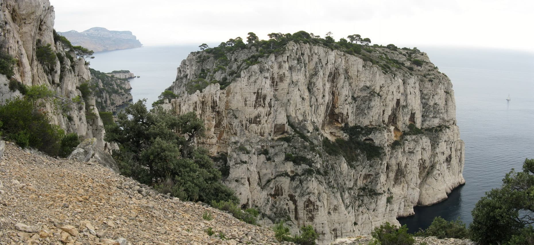
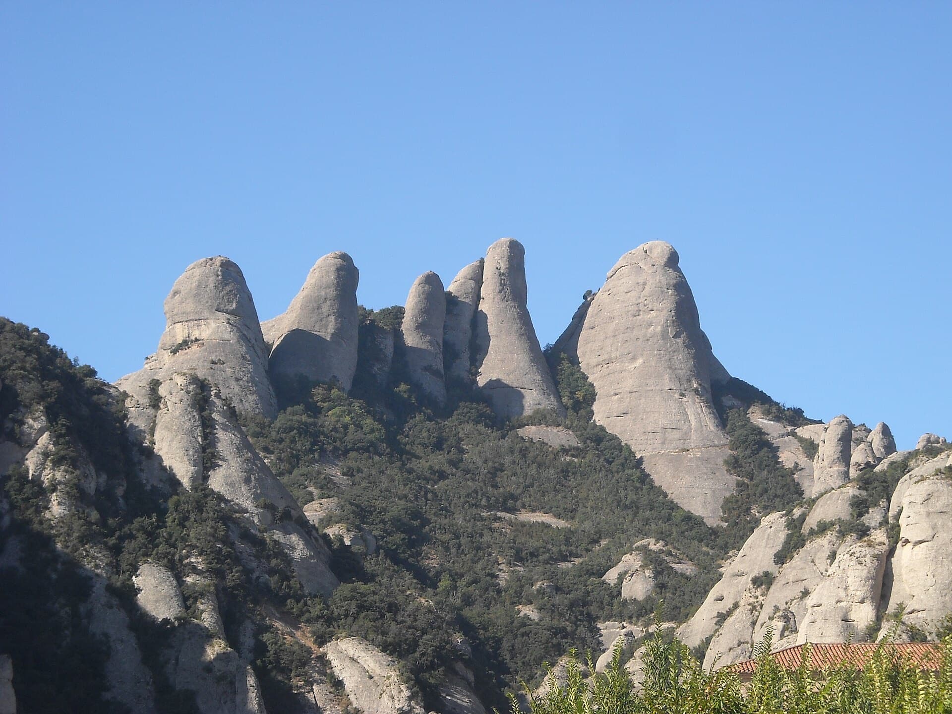
One of the conglomerate summits of the Bec de l'Aigle above La CiotatPhoto: Michmuch06 · CC BY-SA 3.0

Photo

One of the conglomerate summits of the Bec de l'Aigle above La CiotatPhoto: Michmuch06 · CC BY-SA 3.0
Hardest pitch
5b
Pitches
6
Length
150 m
Approach
40 min
Aspect
N
North-facing
Rope
2×50 m

The route

Overview

The Bec de l'Aigle is the beak of rust-coloured conglomerate that closes the bay of La Ciotat, at the eastern end of the Calanques national park. Piste Noire climbs its north face from the sea to the crest in six pitches, three of real climbing at 5a to 5b and three of easy ground. The start is reached by abseil into a gorge and the first pitch traverses just above the water, so calm sea helps. Since the 2019 rebolt with stainless glue-ins it is a well-protected outing, though the cobbles can still pull out. It is less travelled than L'Atelier Bleu, on the same cliff.

The climbing

Pitch by pitch

Pitches of Piste Noire
PitchGradeLengthNotes
P15a/b20 mA horizontal traverse to the left, descending at first, on stainless glue-ins. Belay on two glue-in rings a few metres above the water. The fixed handrail that used to be here has gone.
P25a25 mSlightly up and right, over a short wall, then straight up to a belay right of an enormous cave. A cable handrail leads into the cave on the left: an escape is possible here.
P35a/b50 mStraight up the line of glue-ins; at the end traverse right to belay under the upper cave, beneath a small bush. The belay is very hard to see, even from close by.
P44b50 mLeave the cave on the left and follow the bolts along the edge of the arch, then straight up to a small platform.
P5250 mSlightly up and left to a grassy ledge below a small conglomerate wall. Often climbed moving together.
P61–Up and right by a line broken by grassy ledges to a belay on two stainless glue-ins a few metres below the crest.

Getting there

Approach

To the parking

Drive to La Ciotat and park at the Parc du Mugel car park. La Ciotat has a railway station.

On foot · about 40 min

About 40 minutes to the abseil. Walk through the Parc du Mugel on the road along the sea (if the park is closed, take the seaside path that skirts it on the left), pass an abandoned building and climb to the belvedere. Access 1, the one recent parties recommend: go to the foot of the rainwater catchment slab (the 'impluvium'), cross the wood and descend along its right side in the bottom of a gully, then traverse right following traces, red dots and two glue-in bolts (useful as a handrail) to a flat ledge with a chained anchor hidden from the path. Abseil 50 m to the tree in the bottom of the gorge, swinging well left at the end. Access 2: from 5 m beyond the belvedere abseil 20 m to a step and traverse south-west on three bolts; then either an awkward 10 m abseil, or in calm sea descend to two bolts 2 m above the water and traverse at sea level (4c) across a fault; four bolts lead on to the tree.

Map of the walk-in

  • Crag
  • Parking

Loading map

The point marks the crag, not the exact start of the route.

Coordinates · crag

43.16128, 5.60614

Parking

43.16791, 5.60513

Parc du Mugel car park, La Ciotat (camptocamp waypoint 417738)

Point from camptocamp waypoint 219774 (Bec de l'Aigle summit)

For your phone or watch

Download GPX

Contains the route point and parking. Opens in most mapping apps and GPS watches.

Points are compiled from published sources, with the precision stated above. They were not surveyed on the ground: check them against a current topo.

Getting down

Descent

From the top traverse north-west for about 100 m, moving together on stainless glue-ins set near the crest, to a two-bolt belay. Then either abseil 40 m (or 30 m and 10 m) to the walk-down towards the top of the catchment slab, or more simply continue along the airy ridge just below the crest for 150 m, with regular bolts as far as the first small col, and follow a faint path to the slab. From the centre of its top a line of glue-ins runs to the left edge and down it to the bottom, so you can stay roped. No abseil is needed. Then back through the park, or by the beach path if the park gates have closed.

Retreat

Bailing off the route

Committing

You abseil in and the only ways out are up or along the sea. Camptocamp says you can abseil from the second belay and get back by the sea-level traverse in calm water, by climbing out up L'Atelier Bleu, or by swimming, and that after the second belay retreat is more delicate.

Retreat from
From belay 2 by abseil to sea level, or along the cable handrail into the cave beside it. Above that, the 50 m pitches and the caves make abseiling impractical.
Point of no return
The second belay.
Carry
Calm sea for the traverse back at water level; two ropes.
Basis
Stated in the sourcesCamptocamp's remarks describe the retreat from belay 2 and say that it is harder above.

Safety

Hazards

  • Conglomerate: the rock is better than it looks, but cobbles do come out. Test holds and keep the helmet on; one party warns of loose cobbles lying above the third belay.
  • After the second belay retreat becomes difficult. From it you can still abseil and get back by the sea-level traverse in calm water, by finishing up L'Atelier Bleu, or by swimming.
  • The belay under the upper cave and the access abseil anchor are both hard to find; read the descriptions carefully.
  • The Parc du Mugel closes in the evening. Come back by the beach path if you are late.
  • In summer access to the Calanques massif is restricted or forbidden on high fire-risk days; check the daily prefecture bulletin before setting out.

Sun and weather

Conditions

North facing, so shaded and cool: climbed from spring to autumn, including summer evenings, but exposed to the mistral and slow to dry. A party 48 hours after rain still found it damp. The first belay is a few metres above the sea; the sea-level access needs calm water. Allow 1.5 to 2 hours on the route and 3 to 3.5 hours car to car.

Usual season · Mar to Jun, Sep to Nov

Sun on the wall · N-facing

Working out the sunlit hours for this month.

  • January: not yet worked out
  • February: not yet worked out
  • March (usual season): not yet worked out
  • April (usual season): not yet worked out
  • May (usual season): not yet worked out
  • June (usual season): not yet worked out
  • July: not yet worked out
  • August: not yet worked out
  • September (usual season): not yet worked out
  • October (usual season): not yet worked out
  • November (usual season): not yet worked out
  • December: not yet worked out

Sun on the wallDaylight, wall in shade● Usual season

Estimated from the wall's aspect only. Ignores surrounding terrain, gullies and the wall's exact shape. Clock times are local to the wall (Central European time), for the 15th of each month.

Monthly climate averages for Calanques, 1991-2020
MeasureJanFebMar (usual season)Apr (usual season)May (usual season)Jun (usual season)JulAugSep (usual season)Oct (usual season)Nov (usual season)Dec
Mean daily high °C101114162024272723191411
Mean daily low °C446913161919161385
Rain days 1 mm or more8769752369118

● marks the usual climbing season. Averages for 1991-2020 at about 182 m. Area climate from Open-Meteo reanalysis. Temperatures are adjusted to the height of the crag; rain comes from a grid cell of about 10 to 25 km, and summer highs on sea cliffs can read a few degrees low. The wall and valley can differ. Data: Open-Meteo, CC BY 4.0.

What to carry

Gear

16 quickdraws, two long slings and a helmet, which camptocamp calls obligatory. Two 50 m ropes for the 50 m access abseil; pitches 3, 4 and 5 are a full 50 m, so do not bring a shorter rope.

Checklist

Quickdraws
16
Rope
2×50 m
Helmet
One each
Abseil device and prusik
The descent or the retreat involves abseiling

Derived from the route data; check it against a current topo

From climbers

Reader reports

Reader reports are not being collected yet. Until they are, check a current topo and the local club or guidebook publisher for recent changes to Piste Noire.

Worth knowing

Tips

  • Take the 50 m abseil: it is quicker and simpler than the short abseils and traverse from the belvedere.
  • Parties link pitches 5 and 6 moving together.
  • The ridge at the end is a highlight at sunset, and a swim at the Anse du Sec on the way back is traditional.

Open questions

Where sources disagree

  • Only camptocamp documents the route in detail, so the figures here could not be cross-checked against a second site.
  • Bolt spacing: one 2025 party says the bolts are neither hard to find nor particularly spaced; another the same year found them 'a little far apart at times'.
  • Rope: a 2025 report says a 50 m rope is enough, which holds for the climbing and for the short-abseil access but not for a 50 m abseil on a single rope.
  • Overall grade: camptocamp gives D-; a 2026 party thought that overstated.
  • Length: camptocamp gives 150 m of difficulties, but the five pitch lengths it lists already add up to 195 m.

Provenance

Sources

Same area

More in Calanques

All routes in Calanques
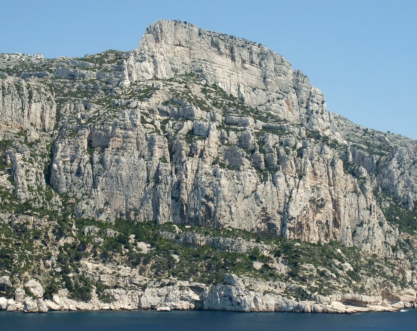
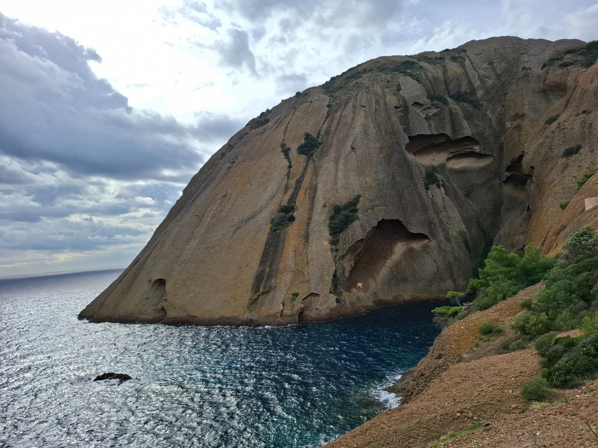
The east face of the Bec de l'Aigle, a single sweep of puddingstone falling into the Anse du Sec at La Ciotat, photographed on the approach to L'Atelier Bleu; the route climbs this face, the line is not marked.

France · Calanques

L'Atelier Bleu

An oddity: easy slabs and a long water-worn runnel up a dome of puddingstone above the sea, reached by abseiling into a cove from the Mugel park. The climbing is grade 3 and 4 on surprisingly solid pebbles. It was fully rebolted in 2024 and is a popular first multipitch.

4c6 pitches220 m
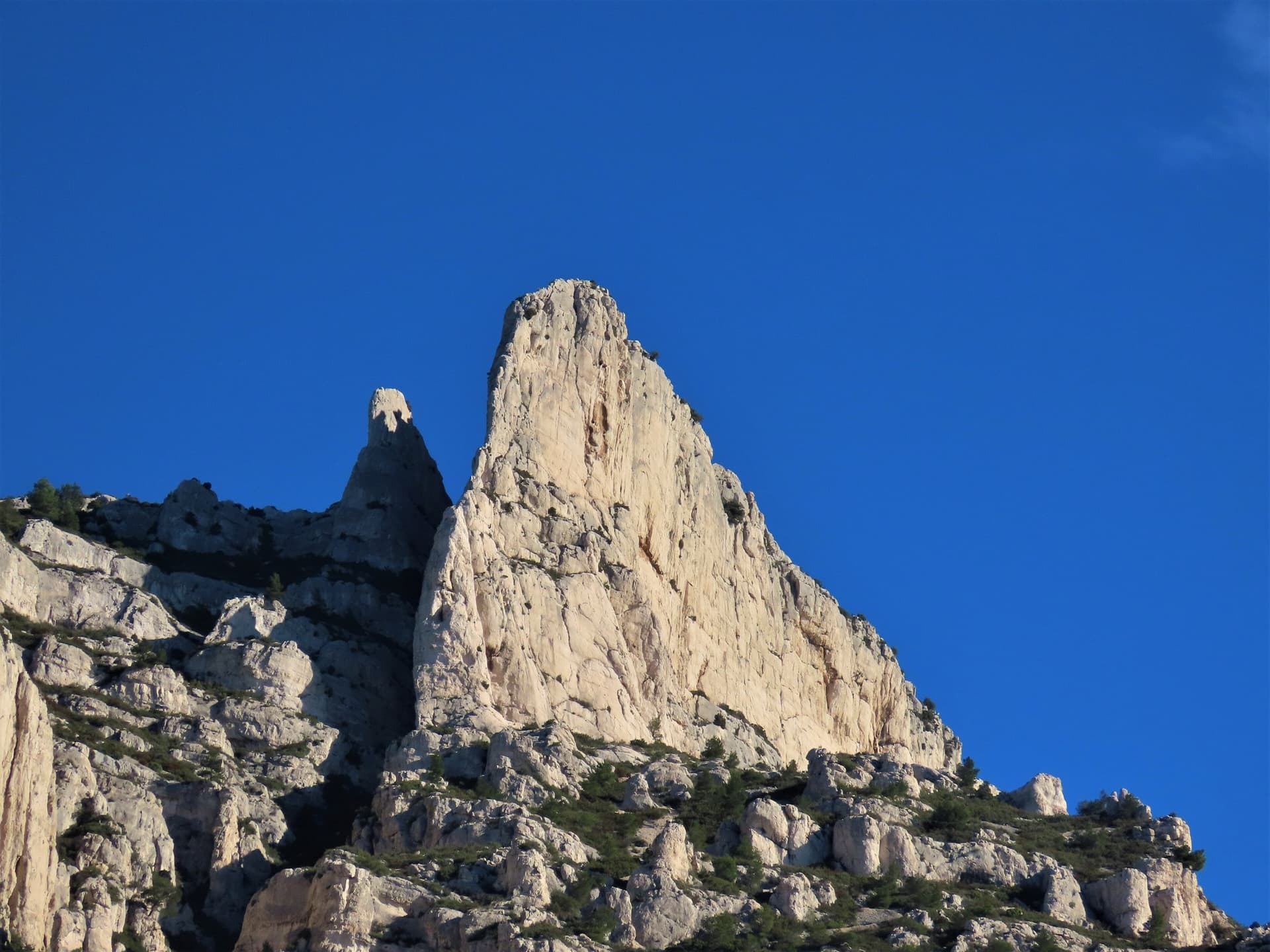
The spire of the Grande Candelle above its plinth of lower cliffs, seen from the Calanque de Sugiton; Armata Calanca climbs the plinth and then the south face to the summit, the line is not marked.

France · Calanques

Armata Calanca

The big modern classic of the Calanques: eleven pitches in three tiers from the foot of the Candelle plinth to the summit, sustained in the sixth grade on grey water-pocketed limestone above the sea. Two walking ledges split the day and offer escapes. The eighth pitch, a 6b+ diagonal along a flake, is the one people remember.

6c11 pitches320 m

The Grande Candelle and, below it, the wall of the Socle seen from the sea

France · Calanques

La Civa

The classic of the Socle de la Candelle, the big plinth of white limestone below the Grande Candelle. Eight pitches slanting right to left, sustained at 5c with a 6a slab, steep and athletic for the grade and well polished by sixty years of traffic. Often combined with a route on the Candelle above for one of the great days out in the Calanques.

6a8 pitches170 m

Read the cautions

The Castelvieil headland and its sea cliffs

France · Calanques

Vide et Eau

An airy pillar on the sea cliff of Castelvieil, the headland that closes the Calanque d'En Vau. You abseil 90 m from the plateau to a ledge above the water and climb back out on superb rough limestone covered in water pockets and tafoni: delicate, moderate and fairly sustained, with a traverse under an overhang to finish. Remote, quiet and exposed to the afternoon sun.

6a+5 pitches130 m

Committing

Around 5b · about 6 pitches

Similar elsewhere

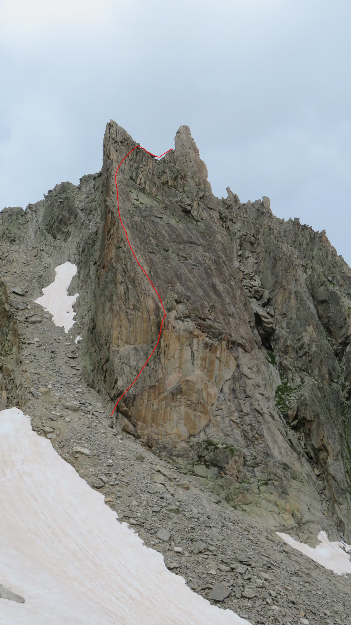
The Aiguille de la Cabane from the hut side, with the line of Bon accueil drawn on the pillar

Switzerland · Orny (Champex, Mont Blanc massif)

Bon accueil

The friendliest long route at the Cabane d'Orny: four short pitches up the lower spur, a walk right along a ledge, then two steeper pitches up the red summit bastion. The first pitch is the crux, a physical corner that many find hard for 5b, and it can be avoided by an easier bolted start. Fine rough granite and a summit at almost 3000 m.

5b6 pitches130 m

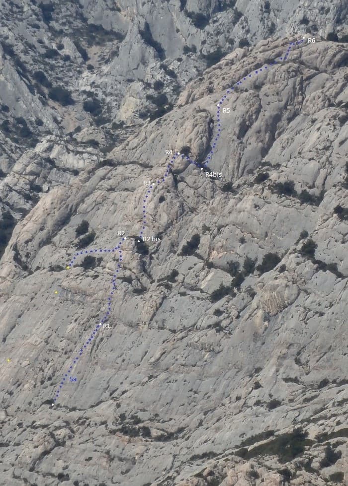
Line of Tambour Magique (dotted) with belays R1 to R6 on the Socle de la Carrière

France · Sainte-Victoire

Tambour Magique

A six-pitch outing at 5a to 5b on the compact 'marble' breccia of the Socle de la Carrière, running alongside La Marbrière. Short climbing sections on fine rock alternate with stony terraces. Bolting is friendlier than the local tradition, which makes it a good first route on the mountain.

5b6 pitches170 m

The Gorros of Montserrat from the monastery side: left to right the Gorra Marinera, the Magdalenes and the Gorra Frígia. Via Sargantanes climbs the Gorra Marinera, the left-hand tower.

Spain · Montserrat

Via Sargantanes

A popular first Montserrat multipitch close to the monastery. Steep pebble walls at 5b are split by easy slabs, finishing on an airy summit cap.

5b6 pitches145 m

Read the cautions

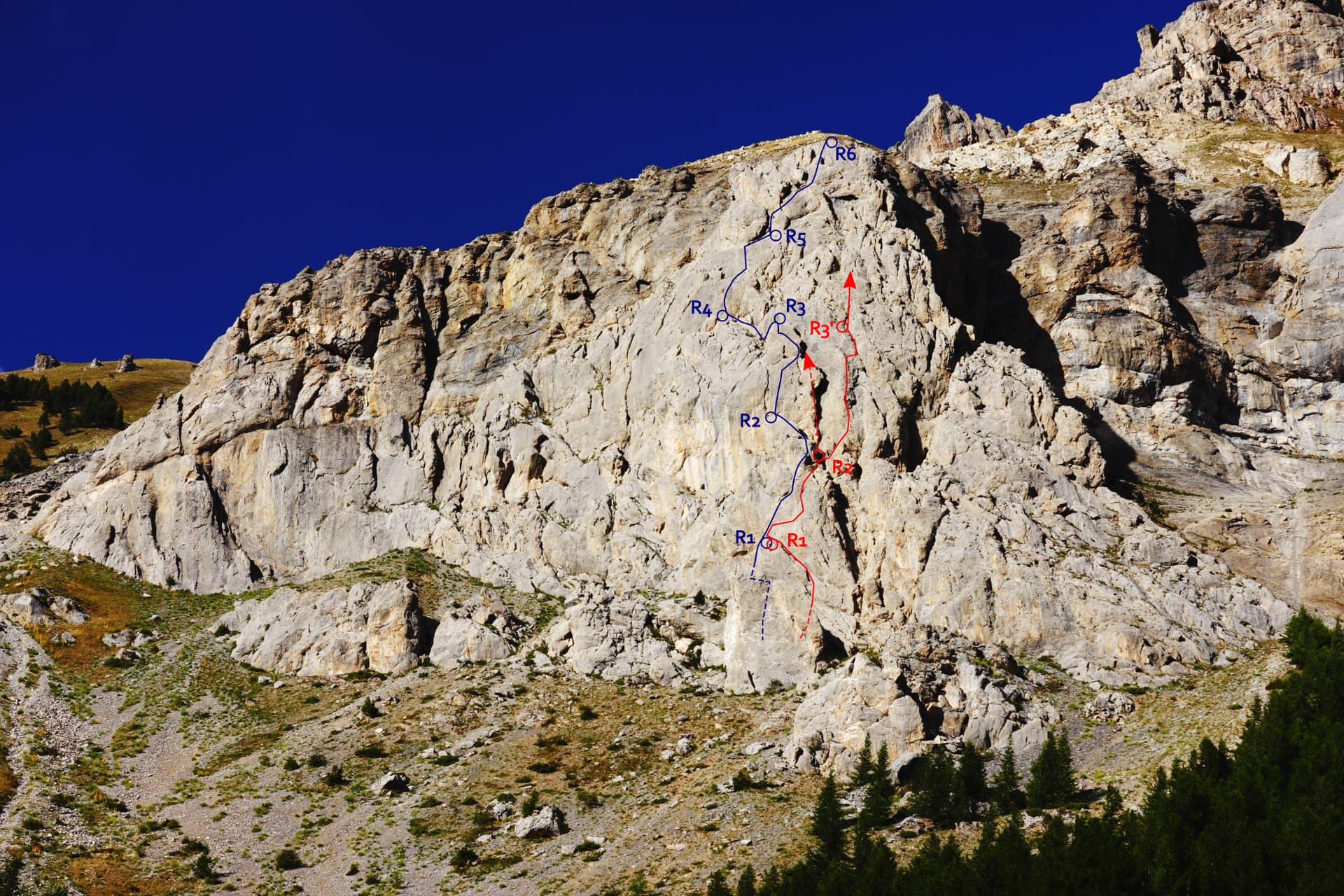
The Éperon du chemin du Roy with Che Guevaroux and the Voie des Quarante drawn in; from pitch 3 the red line shows the neighbouring Faux-cil variant, the original Quarante staying in the chimney

France · Cerces

Voie des Quarante

A friendly six-pitch route on the lower buttress of Roche Robert, half an hour above the Lautaret road. Sustained grade 4 on good limestone, with slabs, a chimney and two steeper steps of 5a to 5b near the top. Stances are big ledges and there is little exposure, so it suits a first multipitch.

5b6 pitches180 m

Compiled from published sources and last verified October 2026. Bolts, anchors and access change. Climbing is dangerous and you are responsible for your own decisions: check a current topo and read the disclaimer.