Multipitch Atlas

Voie des Quarante

Éperon du chemin du Roy (Contrefort de Roche Robert) · Cerces · France

Bail with caveatsBolting confidence: high

A friendly six-pitch route on the lower buttress of Roche Robert, half an hour above the Lautaret road. Sustained grade 4 on good limestone, with slabs, a chimney and two steeper steps of 5a to 5b near the top. Stances are big ledges and there is little exposure, so it suits a first multipitch.

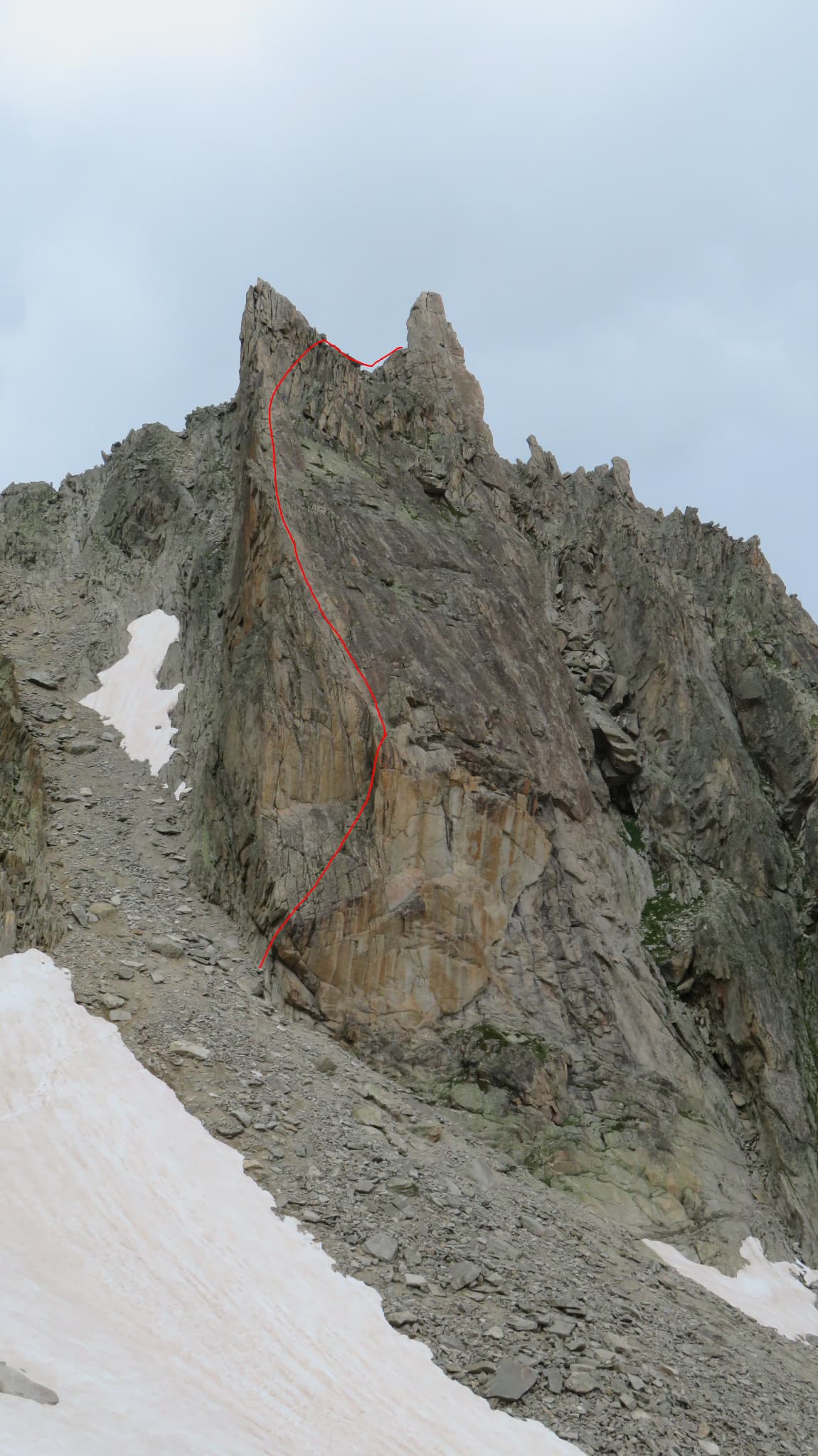
The Éperon du chemin du Roy with Che Guevaroux and the Voie des Quarante drawn in; from pitch 3 the red line shows the neighbouring Faux-cil variant, the original Quarante staying in the chimneyPhoto: Luc Gential · CC BY-SA 3.0

Topo

The Éperon du chemin du Roy with Che Guevaroux and the Voie des Quarante drawn in; from pitch 3 the red line shows the neighbouring Faux-cil variant, the original Quarante staying in the chimneyPhoto: Luc Gential · CC BY-SA 3.0
Hardest pitch
5b
Pitches
6
Length
180 m
Approach
30 min
Aspect
S
South-facing
Rope
1×50 m

The route

Overview

The Éperon du chemin du Roy is the south-facing lower cliff of Roche Robert, directly above the road between Le Monêtier-les-Bains and the Col du Lautaret. The Voie des Quarante is its easiest classic: six pitches of sustained grade 4 with moves of 5a and 5b, on good rock with large comfortable ledges at every belay. It was fully rebolted with stainless glue-ins in 2026. Three or four routes share stances and cross here, including Che Guevaroux just to the left and the Faux-cil just to the right, so the line needs a little attention. The walk-off is quick, and many parties climb two routes in the day.

The climbing

Pitch by pitch

Pitches of Voie des Quarante
PitchGradeNotes
P14cThe grey slab, then slanting left to a comfortable belay right beside that of Che Guevaroux.
P25aThe first bolt is shared with Che Guevaroux, then go right up a slab to a terrace at the foot of a chimney, a belay shared with the Faux-cil. Pitches 1 and 2 together are under 50 m.
P34cStraight up the chimney. Take a little care with the rock here.
P44c/5aContinue a little in the chimney, then exit right on a good vertical flake to a belay shared with the Faux-cil. A more direct bolted variant goes straight up from the middle of the pitch; parties who followed the new bolts in 2026 found it nearer 5b.
P55bIn line above: one move above the belay and a steeper one at the exit. Belay on the right.
P65bStraight above the belay, a short steep passage, then straight on above the ledge to the top belay. A variant exit is possible half-way up the pitch.

Getting there

Approach

To the parking

From Briançon drive up the Guisane valley on the D1091 towards the Col du Lautaret. Park in the lay-by below the cliff, about 1 km above the Pont de l'Alpe car park and 6 km below the col on the Briançon side (an emergency telephone post marks the spot). The Briançon to Grenoble coach (ZOU 55) crosses the Col du Lautaret.

On foot · about 30 min

About 30 minutes. From the lay-by a clear path climbs straight up through larch wood, crosses the level Chemin du Roy and reaches the foot of the south-east spur of the buttress. The route starts up a grey slab from a wide flat area between the wall and a very large detached block, and has its name written at the foot. Che Guevaroux starts on a vague rib just to the left, the Faux-cil 2 m to the right.

Map of the walk-in

  • Crag
  • Parking

Loading map

The point marks the crag, not the exact start of the route.

Coordinates · crag

45.02691, 6.45865

Parking

45.01804, 6.46612

Le Pont de l'Alpe car park (camptocamp waypoint 104581); the usual lay-by for this buttress is on the D1091 about 1 km further up

Point from camptocamp waypoint 42393 (Éperon du chemin du Roy)

For your phone or watch

Download GPX

Contains the route point and parking. Opens in most mapping apps and GPS watches.

Points are compiled from published sources, with the precision stated above. They were not surveyed on the ground: check them against a current topo.

Getting down

Descent

On foot, 15 to 20 minutes to the base. From the top belay, minding the loose stones lying there, climb a steep path for about 50 m of height, then go left (north) and descend to the foot of the cliff. Two short exposed passages on the edge of a ravine can be avoided through the boulders on the right. Abseiling the routes of this buttress is advised against because of traverses, snagging and parties below.

Retreat

Bailing off the route

Bail with caveats

Every belay is a bolted ledge and pitches 1 and 2 together are under 50 m, so retreating from the lower belays on a single 50 m rope in short abseils is feasible. Camptocamp advises against abseiling on this buttress in general because ropes snag, the lines traverse and parties are often climbing below.

Retreat from
Belays 1 and 2 most simply. Higher up the line runs through a chimney and shares stances with other routes.
Point of no return
None stated; from belay 4 the top is two short pitches away and the walk-off is quick.
Carry
A maillon or karabiner to leave, since the belays are not described as rigged for abseiling.
Basis
Inferred from the route factsThe sources describe only the walk-off; the advice against abseiling comes from the neighbouring Che Guevaroux page, and the rest is inferred from pitch lengths.

Partly inferred from the route facts

Safety

Hazards

  • Several lines interweave. Since the 2026 rebolt the camptocamp and guidebook descriptions no longer match everywhere, and parties expecting 4c have found themselves on 5b ground by following the newest bolts.
  • Loose stones sit on the ledges and at the top belay, with parties often below.
  • The descent path is steep and has two short exposed sections; wear proper shoes.

Sun and weather

Conditions

South facing at about 1770 to 2130 m. The buttress is climbable from late April or May to October and is a fallback when the weather is uncertain for the higher Cerces walls. It is hot on the first pitch if you start late in summer and very cold in a north wind. The route gets busy from 8:00 on fine summer days. Allow about 2 hours of climbing.

Usual season · May to Oct

Sun on the wall · S-facing

Working out the sunlit hours for this month.

  • January: not yet worked out
  • February: not yet worked out
  • March: not yet worked out
  • April: not yet worked out
  • May (usual season): not yet worked out
  • June (usual season): not yet worked out
  • July (usual season): not yet worked out
  • August (usual season): not yet worked out
  • September (usual season): not yet worked out
  • October (usual season): not yet worked out
  • November: not yet worked out
  • December: not yet worked out

Sun on the wallDaylight, wall in shade● Usual season

Estimated from the wall's aspect only. Ignores surrounding terrain, gullies and the wall's exact shape. Clock times are local to the wall (Central European time), for the 15th of each month.

Climate figures for Cerces are not available yet

What to carry

Gear

10 quickdraws and a single 50 m rope. Slings to link the belay bolts. Helmet.

Checklist

Quickdraws
10
Rope
1×50 m
Helmet
One each
Abseil device and prusik
The descent or the retreat involves abseiling
Maillons or spare karabiners
To leave behind if you retreat

Derived from the route data; check it against a current topo

From climbers

Reader reports

Reader reports are not being collected yet. Until they are, check a current topo and the local club or guidebook publisher for recent changes to Voie des Quarante.

Worth knowing

Tips

  • Follow the glue-ins; the routes to left and right are on expansion bolts.
  • Combine it with the 'Éperon long de la route' (5c) or Che Guevaroux (5c) on the same buttress for a fuller day.
  • Arrive early: the lay-by is small and the easy routes queue.

Open questions

Where sources disagree

  • Grades of the upper pitches: camptocamp gives 4c/5a, 5b, 5b for pitches 4 to 6; a July 2026 party working from the Briançon Climbs book expected 4c and found the rebolted line harder.
  • The photo-topo attached to the camptocamp page shows pitches 1 and 2 correctly, but from pitch 3 its line follows the Faux-cil; the original route continues up the chimney.
  • Approach time is not given on this route's page; 30 minutes is taken from the camptocamp description of the neighbouring 'Éperon long de la route', which shares the path.

Provenance

Sources

Same area

More in Cerces

All routes in Cerces
The face of the Tour Termier above its scree bowl in the Cerces; Feu Sacré climbs this wall, the line is not marked.

France · Cerces

Feu Sacré

The classic hard route of the Tour Termier: ten steep, technical pitches on superb compact limestone at 3000 m, a short walk from the Col du Galibier road. It is never athletic but sustained at 6a+ to 6b, with a 7a pitch and a 6c move that both go at 6a A0. Cold, wind and thin footwork make it feel bigger than the numbers.

7a10 pitches320 m
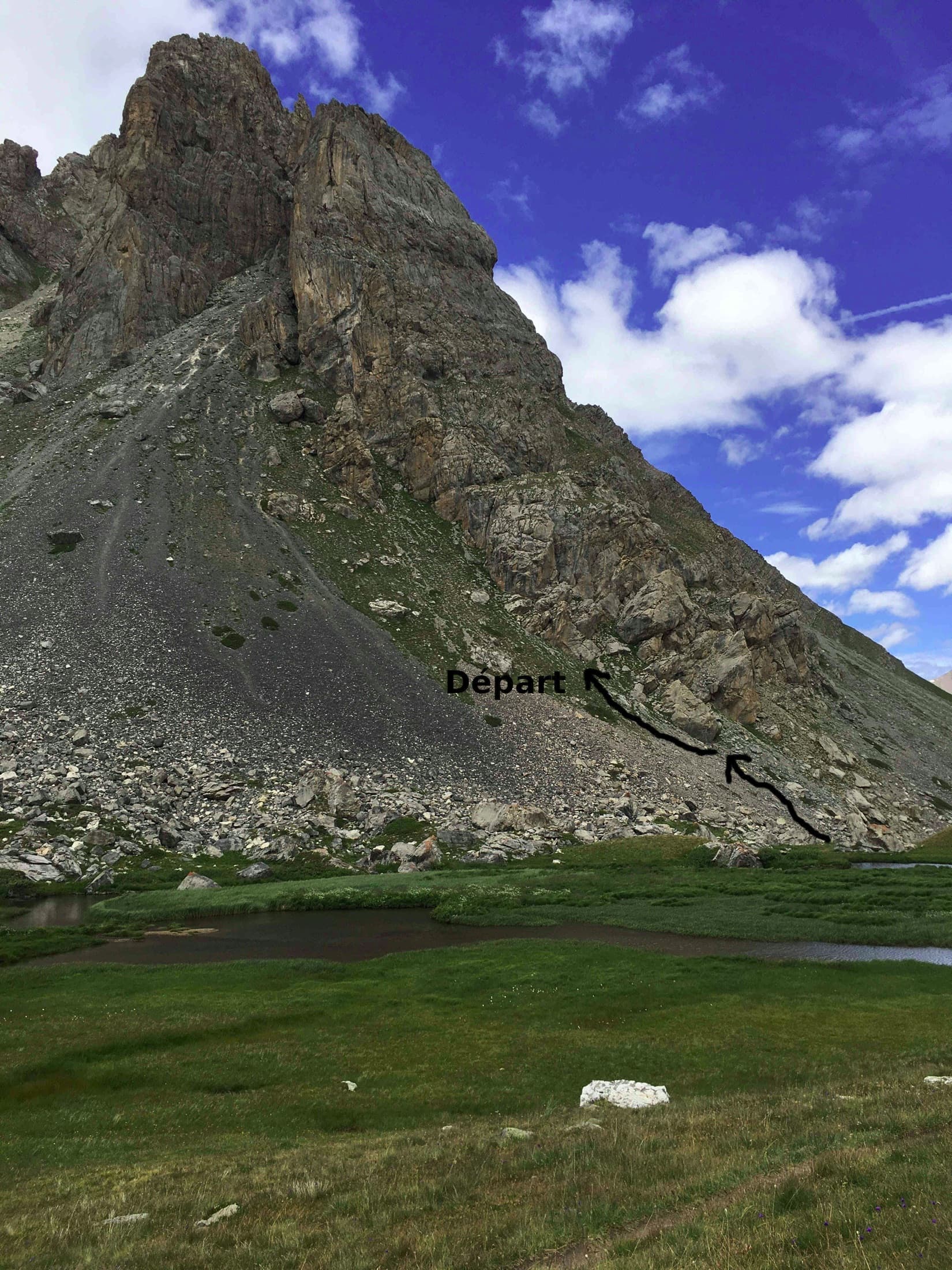
The Pavé du Chardonnet from the marshy flats above the hut, with the way to the start marked

France · Cerces

Dessine-moi un 4 sup

A long, easy mountain route above the Chardonnet hut in the upper Clarée valley: ten pitches of slabs, a chimney, grooved grey rock and a crest, linked by ledges and one 75 m walk. It is never sustained, with the 5c on a slabby traverse, and the best pitches are near the top. The setting is the attraction; the descent gully is the price.

5c10 pitches300 m

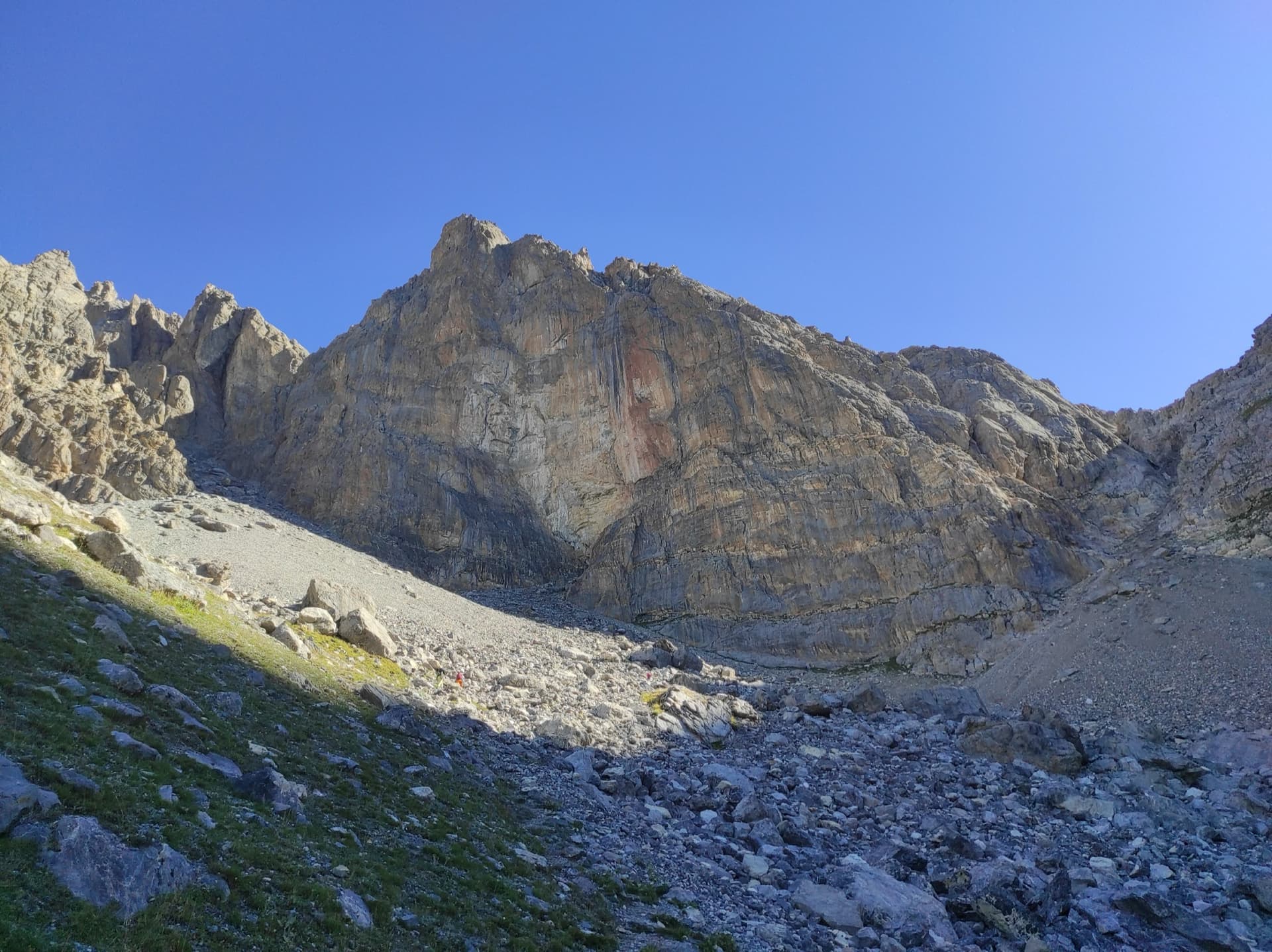
The south-west face of the Tour Termier from the scree below

France · Cerces

Ponant Neuf

The most popular route on the Tour Termier, a 3070 m limestone tower near the Col du Galibier. Sustained and varied at 5c to 6a+ on rough, sculpted rock, with several traverses that add length and a much-photographed 6a+ finish. It is the easier neighbour of Feu Sacré but still a mountain route: cold, often windy, and you climb between the bolts.

6a+10 pitches345 m

Read the cautions

The lower wall of the first Queyrellin tower: the route follows the slabby ramp slanting up to the left

France · Cerces

Nulle Part Ailleurs

A short, varied route on the first tower of the Queyrellin ridge above the Chardonnet hut: a slabby ramp, a traverse across a grey slab and an exposed pillar on exceptional rough limestone. Continuous 5c to 6a with one aidable 6b+ step on poorer yellow rock and a thin 6b move on the pillar. The last three pitches are airy.

6b+5 pitches170 m

Around 5b · about 6 pitches

Similar elsewhere

The Aiguille de la Cabane from the hut side, with the line of Bon accueil drawn on the pillar

Switzerland · Orny (Champex, Mont Blanc massif)

Bon accueil

The friendliest long route at the Cabane d'Orny: four short pitches up the lower spur, a walk right along a ledge, then two steeper pitches up the red summit bastion. The first pitch is the crux, a physical corner that many find hard for 5b, and it can be avoided by an easier bolted start. Fine rough granite and a summit at almost 3000 m.

5b6 pitches130 m

One of the conglomerate summits of the Bec de l'Aigle above La Ciotat

France · Calanques

Piste Noire

An easy adventure on the brown pudding-stone of the Bec de l'Aigle at La Ciotat. You abseil into a sea-level gorge, traverse a few metres above the water and climb cobbles past two caves to the crest, finishing with an airy bolted ridge. The climbing is never hard; the unusual rock, the abseil approach and the setting make the day.

5b6 pitches150 m

Committing

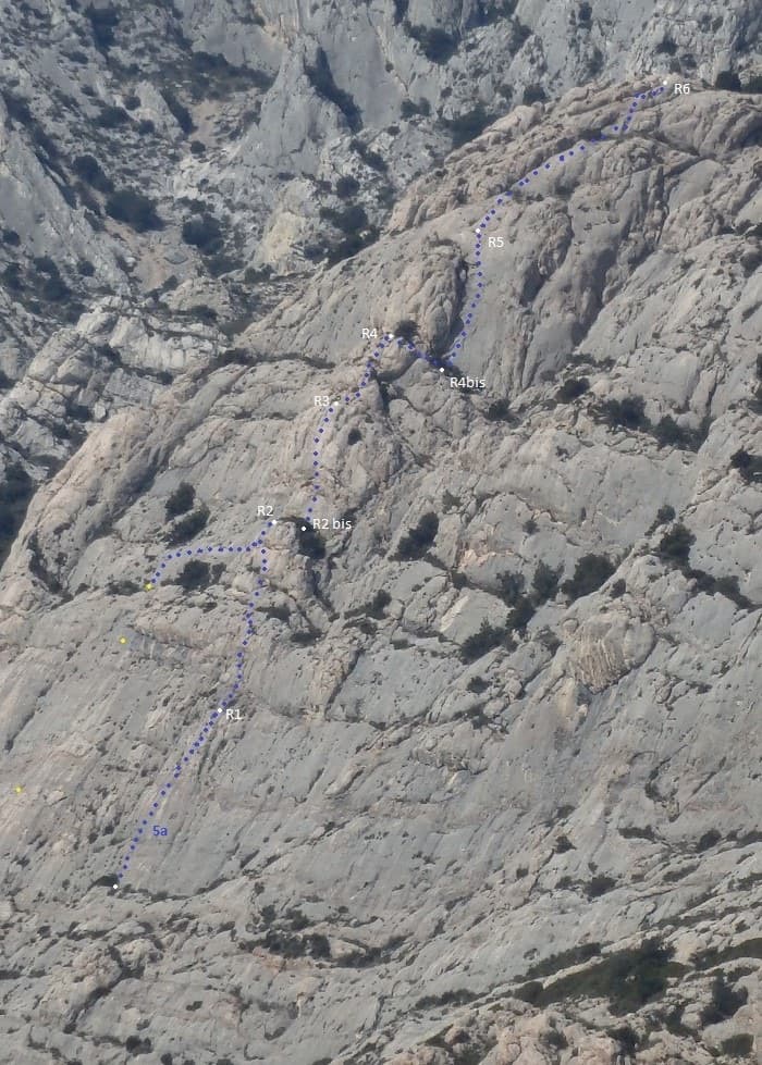
Line of Tambour Magique (dotted) with belays R1 to R6 on the Socle de la Carrière

France · Sainte-Victoire

Tambour Magique

A six-pitch outing at 5a to 5b on the compact 'marble' breccia of the Socle de la Carrière, running alongside La Marbrière. Short climbing sections on fine rock alternate with stony terraces. Bolting is friendlier than the local tradition, which makes it a good first route on the mountain.

5b6 pitches170 m

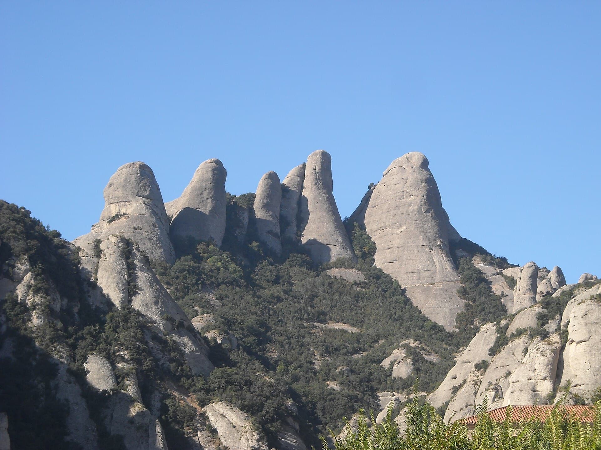
The Gorros of Montserrat from the monastery side: left to right the Gorra Marinera, the Magdalenes and the Gorra Frígia. Via Sargantanes climbs the Gorra Marinera, the left-hand tower.

Spain · Montserrat

Via Sargantanes

A popular first Montserrat multipitch close to the monastery. Steep pebble walls at 5b are split by easy slabs, finishing on an airy summit cap.

5b6 pitches145 m

Read the cautions

Compiled from published sources and last verified October 2026. Bolts, anchors and access change. Climbing is dangerous and you are responsible for your own decisions: check a current topo and read the disclaimer.