Multipitch Atlas

Bon accueil

Aiguille de la Cabane (above the Cabane d'Orny) · Orny (Champex, Mont Blanc massif) · Switzerland

Bail with caveatsBolting confidence: high

The friendliest long route at the Cabane d'Orny: four short pitches up the lower spur, a walk right along a ledge, then two steeper pitches up the red summit bastion. The first pitch is the crux, a physical corner that many find hard for 5b, and it can be avoided by an easier bolted start. Fine rough granite and a summit at almost 3000 m.

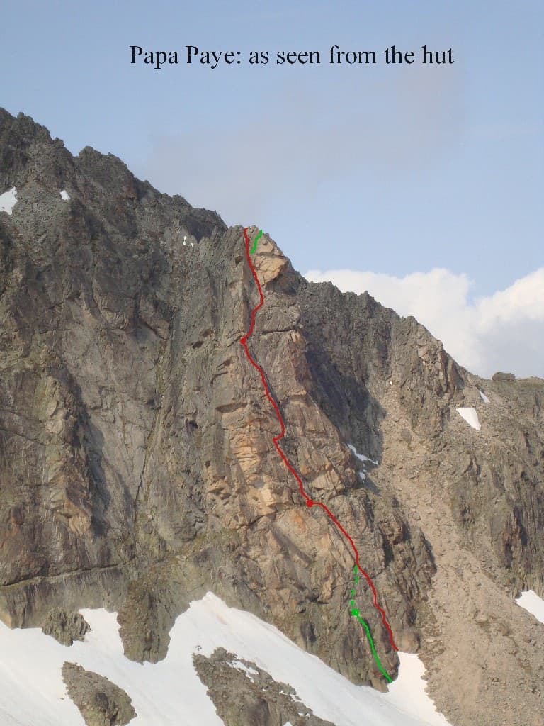
The Aiguille de la Cabane from the hut side, with the line of Bon accueil drawn on the pillarPhoto: Johan Koch · CC BY-SA 3.0

Topo

The Aiguille de la Cabane from the hut side, with the line of Bon accueil drawn on the pillarPhoto: Johan Koch · CC BY-SA 3.0
Hardest pitch
5b
Pitches
6
Length
130 m
Approach
15 min
Aspect
SE
South-east-facing
Rope
1×50 m

The route

Overview

Bon accueil climbs the Aiguille de la Cabane, the granite point that stands directly above the Cabane d'Orny, in two tiers separated by a walking ledge. It was opened by the Remy brothers in 1986 and re-equipped in 2016, and camptocamp describes it as one of the best routes of its grade in the area. The pitches are short apart from the first one on the summit bastion. Expect a morning or afternoon out from the hut, about three hours on the route, and a summit view over the Val d'Arpette and the Orny glacier.

The climbing

Pitch by pitch

Pitches of Bon accueil
PitchGradeLengthNotes
P15b–A physical start, a traverse across an easy slab, then a harder and more committing corner with the hard moves just below the belay. Several parties think 5c is fairer. One 2025 party took an intermediate stance before the corner to avoid rope drag. The alternative start up the gully side goes at about 4b/c.
P24c–Short pitch. If you took the alternative start, this pitch begins with a traverse right to regain and pass the arête.
P34b–Short, easy pitch on good holds.
P44b–Flakes lead to the shoulder where the descent path crosses. A 2025 party found some of the flakes loose, so load them gently. From the belay walk right along a small path to the summit bastion and take the middle line marked with a red dot (the neighbouring routes also have red dots).
P54b50 mThe long pitch of the route: steep, on big positive holds in excellent granite.
P64c25 mA final pitch to the top of the bastion.

Getting there

Approach

To the parking

From Martigny take the train to Orsières and the bus (or drive) to Champex-Lac (1498 m). The La Breya chairlift carries you to Grands Plans at about 2190 m, from where a mountain path leads to the Cabane d'Orny (2811 m) in roughly two hours. The chairlift runs in summer only and stops for a midday break, so check the timetable and the last ride down. Without the lift the walk from Champex takes about four and a half hours; there is also a longer path from Praz-de-Fort. Most parties sleep at the hut, which should be booked ahead.

On foot · about 15 min

From the Cabane d'Orny follow a faint track east through the scree to the foot of the Aiguille, 15 to 20 minutes. Bon accueil is the left-most route and starts at the foot of the descent gully, marked by a red spray-painted dot. If you are coming up from the chairlift for the day, you can leave the hut path at the lake below the hut and follow a track along the top of the scree under the wall. An alternative bolted start lies a little way up the gully on the north-west side and avoids the 5b corner at about 4b/c.

Map of the walk-in

  • Crag
  • Parking

Loading map

The point marks the crag, not the exact start of the route.

Coordinates · crag

46.00658, 7.06832

Parking

46.02158, 7.10303

Top station of the La Breya chairlift at Grands Plans (camptocamp access waypoint 1205077); the trailhead for the hut path. The lift starts in Champex-Lac.

Point from camptocamp summit waypoint 39003 (Aiguille de la Cabane)

For your phone or watch

Download GPX

Contains the route point and parking. Opens in most mapping apps and GPS watches.

Points are compiled from published sources, with the precision stated above. They were not surveyed on the ground: check them against a current topo.

Getting down

Descent

From the top make one short abseil down the north-west side from a chained anchor (camptocamp's French text says 15 m, the English text 25 m), then scramble down, following paint marks, to the col at the top of the descent gully that you passed at the end of pitch 4. The gully starts straight down steep scree, sometimes with a fixed rope, and then eases into zigzags back to the foot of the route. A walking pole helps. Allow 15 to 30 minutes, then return to the hut by the approach track.

Retreat

Bailing off the route

Bail with caveats

The route is in two halves. After pitch 4 you are on the shoulder where the normal descent path passes, so you can simply walk off down the gully from there. Lower down, retreat would mean abseiling from the bolted belays; how they are rigged is not documented.

Retreat from
On foot from the top of pitch 4. From the lower belays by abseil, leaving gear if the anchors are not linked.
Point of no return
None really: once on the summit bastion (pitches 5 and 6) the quickest way off is to finish, as the descent starts from the top.
Carry
A single 50 m rope covers the documented summit abseil. Carry a couple of maillons in case the lower belays are not equipped for abseiling.
Basis
Part stated, part inferredThe escape at the shoulder after pitch 4 is stated by camptocamp (the descent path crosses there) and a 2025 party stopped there; the rigging of the lower belays is not described.

Partly inferred from the route facts

Safety

Hazards

  • The first pitch is stiff for 5b and the corner feels committing for the leader; the alternative start avoids it.
  • Loose flakes on pitch 4.
  • The descent gully is steep, loose scree; take care with parties below.
  • You top out at almost 3000 m: storms build quickly and a September 2025 party finished in wind and snow flurries.

Sun and weather

Conditions

South-facing granite between about 2800 m and 3000 m, climbable roughly from July to September while the hut and the chairlift are open. Snow patches can linger on the approach scree and in the descent gully early in the season. It is cold out of the sun and in wind even in August, and the rock dries quickly after rain but lichen stays slippery. The first pitch is in the shade in the morning; the rest gets the sun. The face is exposed to wind and dries fast.

Usual season · Jul to Sep

Sun on the wall · SE-facing

Working out the sunlit hours for this month.

  • January: not yet worked out
  • February: not yet worked out
  • March: not yet worked out
  • April: not yet worked out
  • May: not yet worked out
  • June: not yet worked out
  • July (usual season): not yet worked out
  • August (usual season): not yet worked out
  • September (usual season): not yet worked out
  • October: not yet worked out
  • November: not yet worked out
  • December: not yet worked out

Sun on the wallDaylight, wall in shade● Usual season

Estimated from the wall's aspect only. Ignores surrounding terrain, gullies and the wall's exact shape. Clock times are local to the wall (Central European time), for the 15th of each month.

Monthly climate averages for Orny (Champex, Mont Blanc massif), 1991-2020
MeasureJanFebMarAprMayJunJul (usual season)Aug (usual season)Sep (usual season)OctNovDec
Mean daily high °C−11−9−5−227101062−5−10
Mean daily low °C−18−17−14−10−6−211−3−7−13−17
Rain days 1 mm or more131214141818181614131414

● marks the usual climbing season. Averages for 1991-2020 at about 2847 m. Area climate from Open-Meteo reanalysis. Temperatures are adjusted to the height of the crag; rain comes from a grid cell of about 10 to 25 km, and summer highs on sea cliffs can read a few degrees low. The wall and valley can differ. Data: Open-Meteo, CC BY 4.0.

What to carry

Gear

Quickdraws (no source gives a number; 10 are quoted for the neighbouring Tichodrome), a single 50 m rope and a helmet. Cams are not needed, though the cracks take them readily if you want to practise.

Checklist

Quickdraws
Number not given in the sources
Rope
1×50 m
Helmet
One each
Abseil device and prusik
The descent or the retreat involves abseiling
Maillons or spare karabiners
To leave behind if you retreat

Derived from the route data; check it against a current topo

From climbers

Reader reports

Reader reports are not being collected yet. Until they are, check a current topo and the local club or guidebook publisher for recent changes to Bon accueil.

Worth knowing

Tips

  • Tichodrome and Namasté share the same summit bastion, so parties often finish up Bon accueil's last two pitches from those routes.
  • The route combines well with the walk up to the hut on day one.
  • There was no drinking water at the hut in August 2025; ask when you book.

Open questions

Where sources disagree

  • Summit abseil length: 15 m in camptocamp's French text, 25 m in the English text.
  • Crux grade: 5b on camptocamp; the English text gives 5a to 5b and several 2025 parties suggest 5c.
  • The 130 m quoted is camptocamp's height of the difficulties; pitch lengths are published only for the last two pitches (50 m and 25 m).

Provenance

Sources

Same area

More in Orny (Champex, Mont Blanc massif)

All routes in Orny (Champex, Mont Blanc massif)
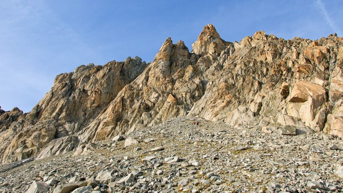
The south side of the Aiguille d'Orny above the scree slope of the approach

Switzerland · Orny (Champex, Mont Blanc massif)

La Moquette

Nine pitches up a granite spur and the final tower of the Aiguille d'Orny to a 3150 m summit, on rough, cracked rock with superb friction. Two moves of 5b, the rest 4b and 4c, closely bolted since 2016 and easy enough to climb in boots. The three steep pitches on the summit tower are the highlight.

5b9 pitches250 m
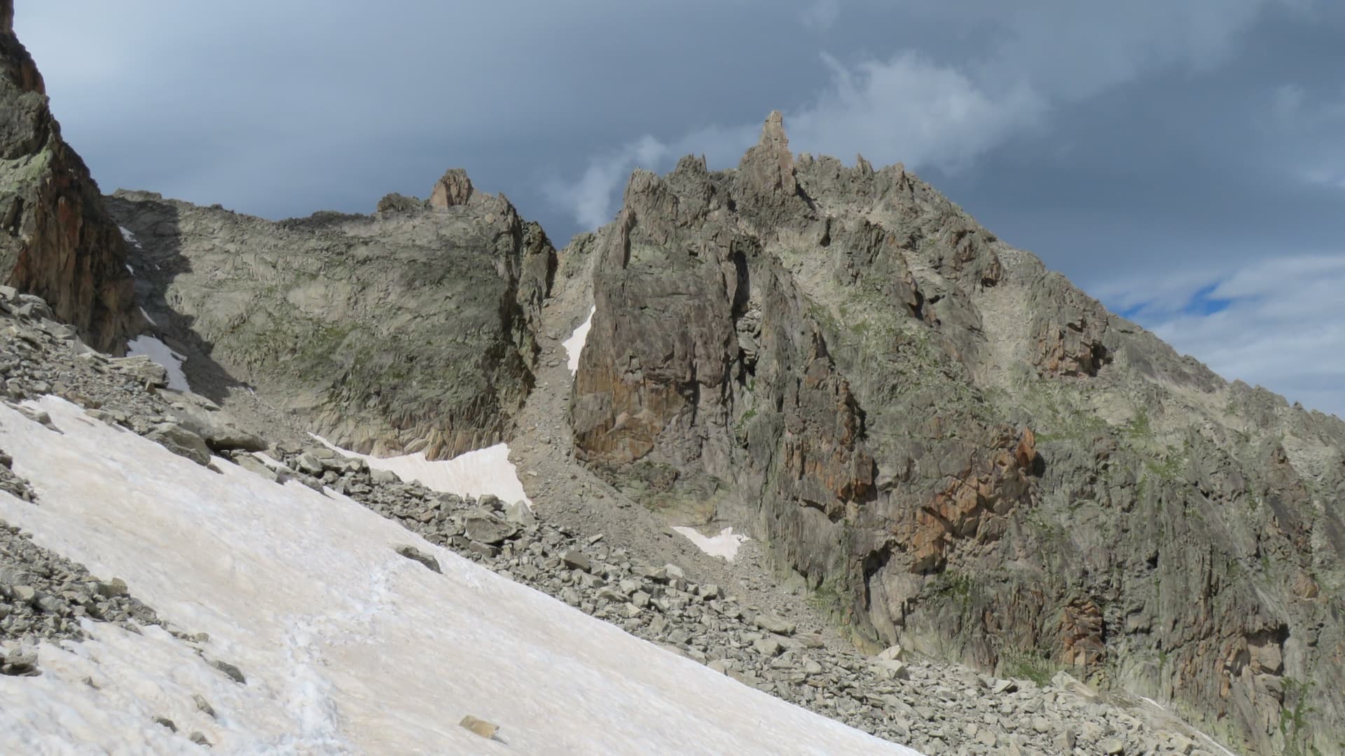
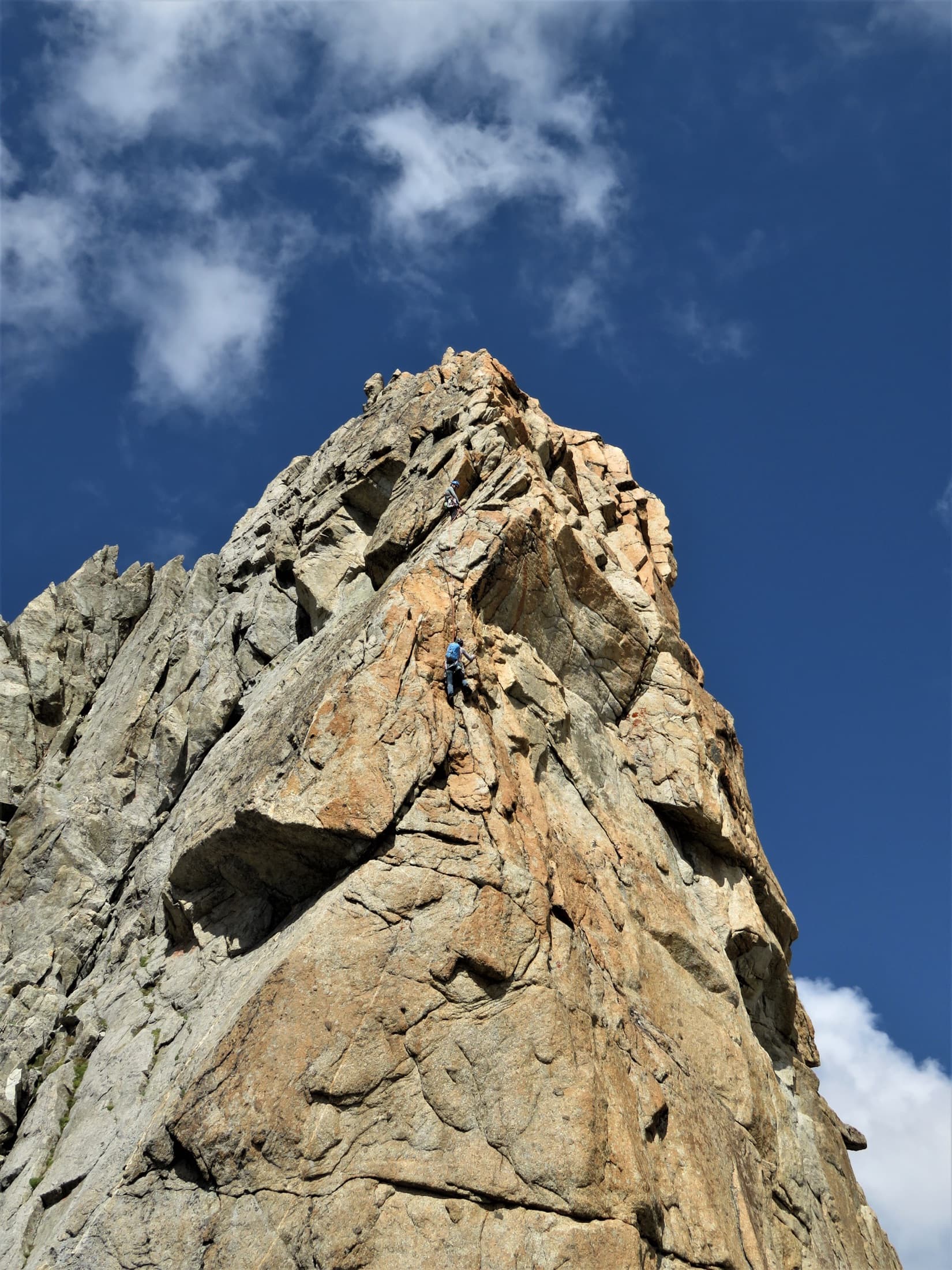
The Aiguille de la Cabane above the Orny hut path: the lower spur, the ledge and the summit bastion

Switzerland · Orny (Champex, Mont Blanc massif)

Tichodrome

Slab and flake climbing on superb granite ten minutes from the hut, finishing with a 35 m pitch of cracks and knobs on the orange summit bastion. The 6a is the last pitch and is steady rather than cruxy. The lower pitches are easier and a little more spaced.

6a6 pitches180 m

The south face of the Gendarme d'Orny seen from the hut. The marked line is the neighbouring route Papa paye; the Voie des trois surplombs starts just to its right and shares the lower corner

Switzerland · Orny (Champex, Mont Blanc massif)

Voie des trois surplombs

A short, easy outing on beautifully sculpted granite half an hour from the Cabane d'Orny. Pitches 2 and 3 are the good ones, steep for the grade; the last two are more broken. Mind the first few metres, where the first bolt is high.

5a5 pitches160 m

Read the cautions

A climber on the last two pitches of Gérémiade, below the summit of the Aiguille d'Orny

Switzerland · Orny (Champex, Mont Blanc massif)

Gérémiade

The popular 6a on the Aiguille d'Orny: nine pitches of corners, slabs, layback flakes and a steep cracked wall, finishing on the airy summit arête at 3150 m. Three pitches reach 6a, all closely bolted. The upper pitches are vertical on big holds and are the highlight.

6a9 pitches270 m

Around 5b · about 6 pitches

Similar elsewhere

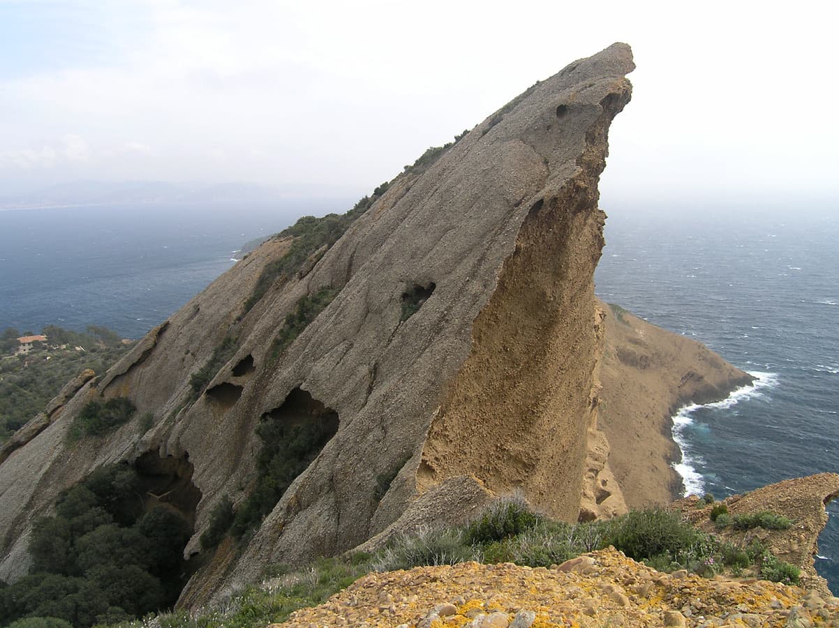
One of the conglomerate summits of the Bec de l'Aigle above La Ciotat

France · Calanques

Piste Noire

An easy adventure on the brown pudding-stone of the Bec de l'Aigle at La Ciotat. You abseil into a sea-level gorge, traverse a few metres above the water and climb cobbles past two caves to the crest, finishing with an airy bolted ridge. The climbing is never hard; the unusual rock, the abseil approach and the setting make the day.

5b6 pitches150 m

Committing

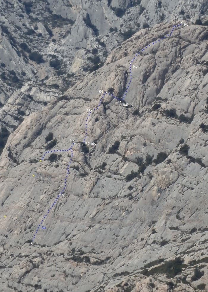
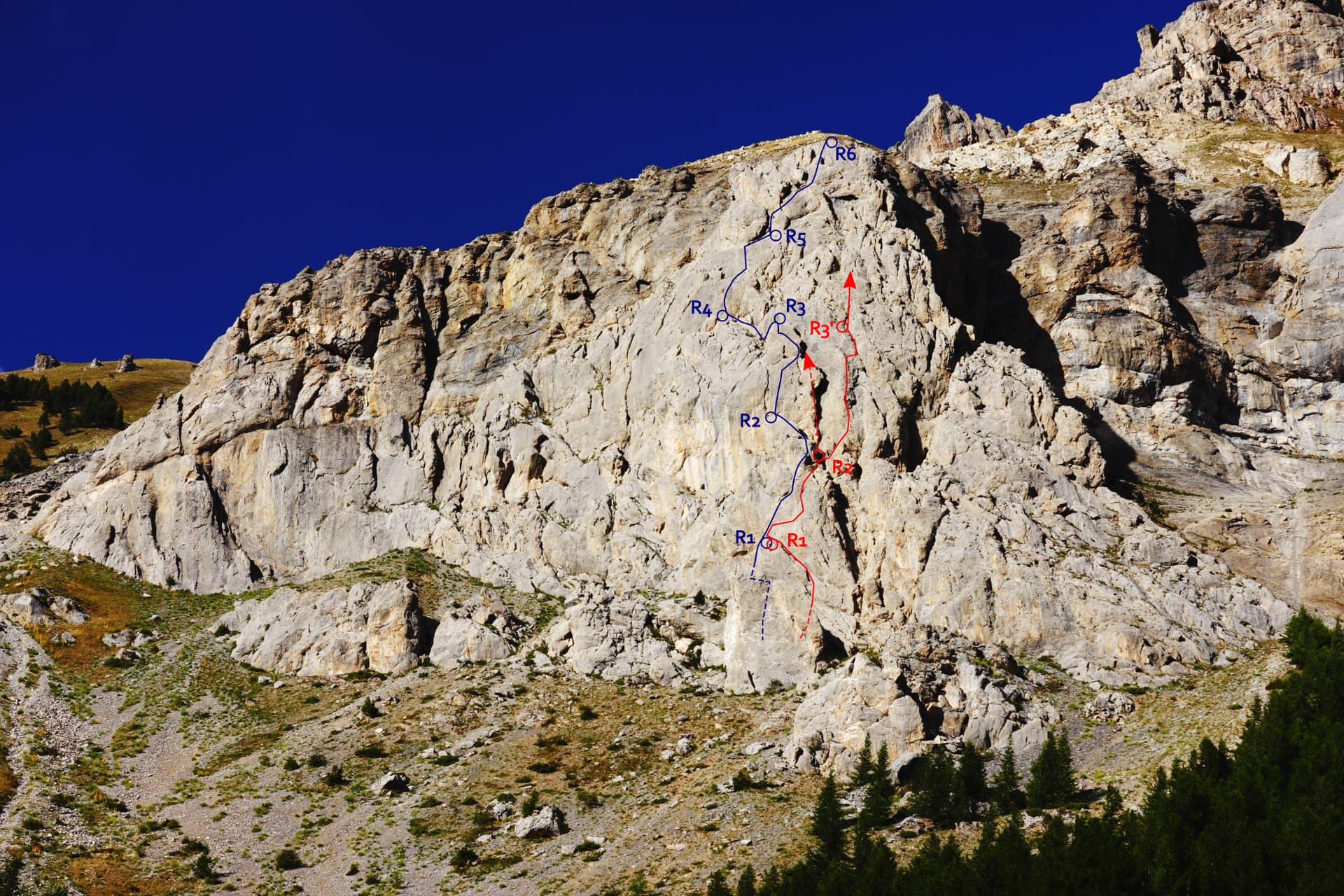
Line of Tambour Magique (dotted) with belays R1 to R6 on the Socle de la Carrière

France · Sainte-Victoire

Tambour Magique

A six-pitch outing at 5a to 5b on the compact 'marble' breccia of the Socle de la Carrière, running alongside La Marbrière. Short climbing sections on fine rock alternate with stony terraces. Bolting is friendlier than the local tradition, which makes it a good first route on the mountain.

5b6 pitches170 m

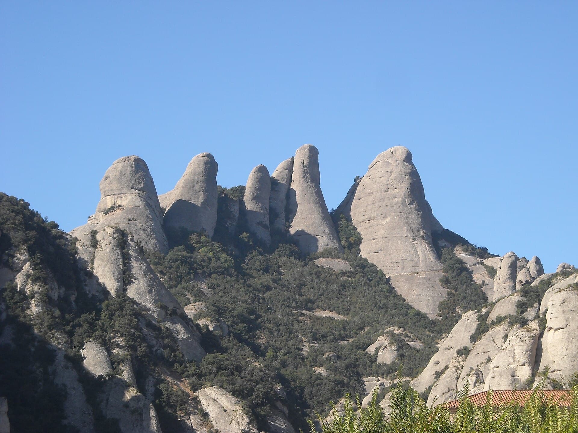
The Gorros of Montserrat from the monastery side: left to right the Gorra Marinera, the Magdalenes and the Gorra Frígia. Via Sargantanes climbs the Gorra Marinera, the left-hand tower.

Spain · Montserrat

Via Sargantanes

A popular first Montserrat multipitch close to the monastery. Steep pebble walls at 5b are split by easy slabs, finishing on an airy summit cap.

5b6 pitches145 m

Read the cautions

The Éperon du chemin du Roy with Che Guevaroux and the Voie des Quarante drawn in; from pitch 3 the red line shows the neighbouring Faux-cil variant, the original Quarante staying in the chimney

France · Cerces

Voie des Quarante

A friendly six-pitch route on the lower buttress of Roche Robert, half an hour above the Lautaret road. Sustained grade 4 on good limestone, with slabs, a chimney and two steeper steps of 5a to 5b near the top. Stances are big ledges and there is little exposure, so it suits a first multipitch.

5b6 pitches180 m

Compiled from published sources and last verified October 2026. Bolts, anchors and access change. Climbing is dangerous and you are responsible for your own decisions: check a current topo and read the disclaimer.