Menu

Dónde vas Jorgito

Pic Negre d'Envalira – north face (above Pas de la Casa) · Andorra · Andorra

Read the cautionsBail not documented

An easy, very well-bolted mountain route that tops out on a 2,816 m summit above Pas de la Casa. Short pitches of IV to V- on granite with good holds, an hour's walk up the ski pistes, and a path down. Ideal as a first alpine-style multipitch, but the rock still sheds loose stones.

Climbing mode: Big type, screen kept awake, tick pitches as you go.

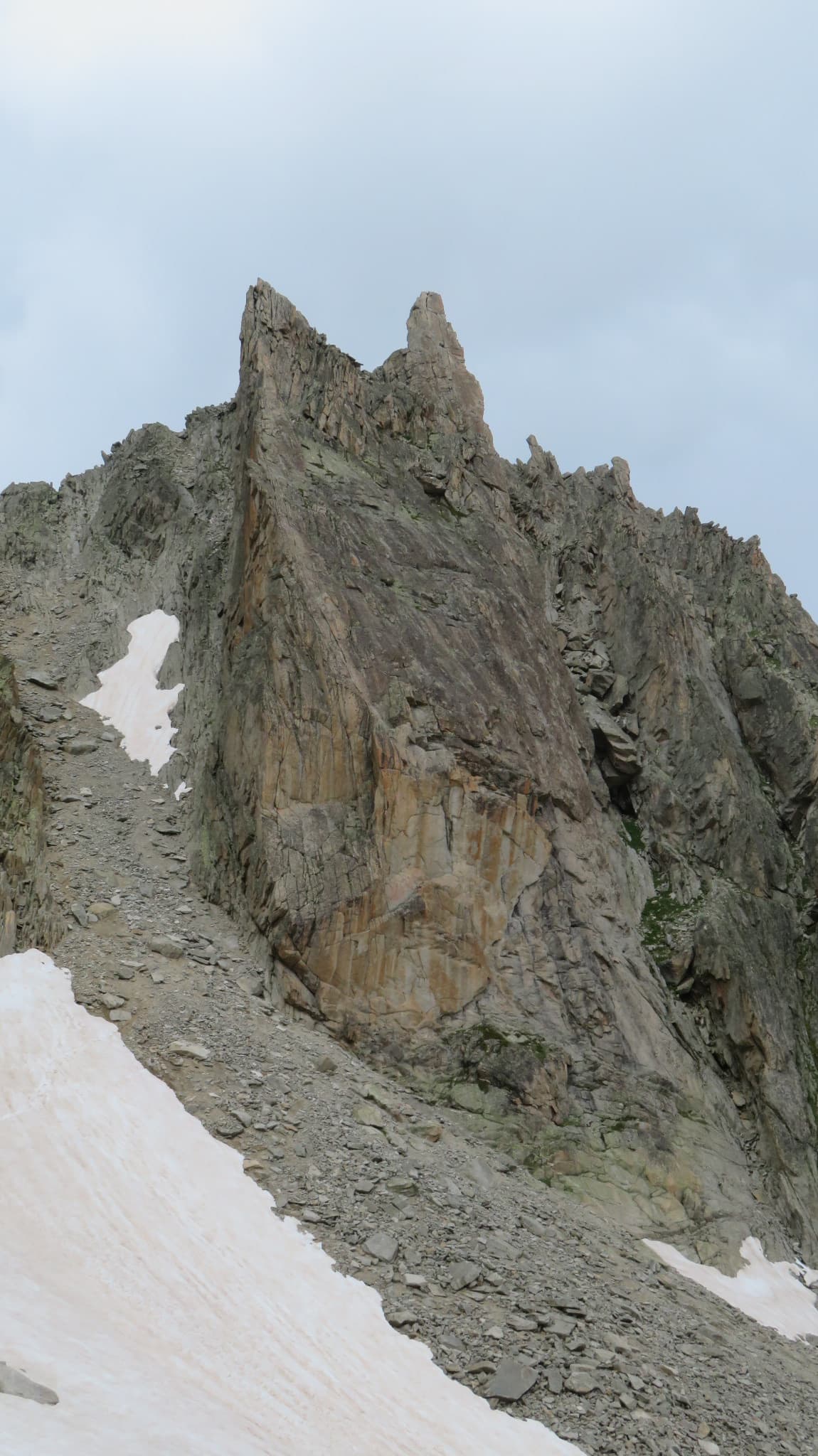
Pic Negre d'Envalira seen from the ski-piste approach above Pas de la CasaPhoto: randoludo (camptocamp) · CC BY-NC-ND 3.0
Hardest pitch
5a5a
Pitches
5
Length
175 m
Approach
60 min
Aspect
N
North-facing
Rope
1×60 m
walk-off

Highest point 2816 m above sea level (camptocamp route 1807047).

Rock
granite
Season
Jul to Sep
Bolting confidence
High
Last verified
October 2026 · Aggregated by AI from published sources
Read before you go

Closely and recently bolted throughout, but loose rock is reported on every recent ascent and the 15 m summit scramble is unbolted.

Photo

Overview

A short, homogeneous route up the north face of Pic Negre d'Envalira, straight to the summit at about 2,816 m. It was opened in 2019 and rebolted in 2023, and every recent report praises the close bolting: the hardest move (V-, about 5a) on pitch 4 is well protected and has big holds. The climbing is easy, mostly IV to IV+ on granite with good footholds, so the route suits newcomers to multipitch or a short day at altitude. The one recurring complaint is loose rock: the face is young and still needs cleaning by traffic.

Worth knowing

  • Allow about 4 to 4.5 h car to car: 1 h approach, 1.5 to 2 h climbing, 1 to 1.5 h descent.
  • The neighbouring route Dame más gasolina (IV+, 195 m) starts nearby but has some belays on a single bolt plus a rock thread and does not reach the summit.

Pitch by pitch

The atlas doesn't show topos: they are the work of the people who bolt and document these routes. See the topo in Juclar Vertical: Guia de escalada Andorra.

Pitches of Dónde vas Jorgito
PitchGradeLengthNotes
P14a35 mUIAA IV. Three bolts straight up, then traverse right under a roof to a two-parabolt belay further right. The traverse is well protected with plenty of footholds.
P24b40 mUIAA IV+. Move right and climb a vertical wall on good holds; the start is a little thin, then it becomes a staircase. The rock in the upper part is poorer; watch for loose stones.
P3320 mUIAA III. A link pitch: pass a big block on its left, then a few easy metres straight up to the belay.
P45a30 mUIAA V-, the crux. Step up onto a block that helps you past the hard move, which is well protected, then easier ground.
P54a35 mUIAA IV. Go right along a ledge, leave it halfway and follow the bolts to the belay (there are two belays; one party used the left one). A 15 m unbolted scramble leads to the summit (one party belayed it from a block on top); pitches 5 and the scramble can be run together.

Approach

To the parking

Drive to Pas de la Casa on the Andorra–France border (the CG-2 over the Port d'Envalira from Andorra la Vella, or the N22 from Ax-les-Thermes in France). Park before Pas de la Casa at the bend by the Costa Rodona ski pistes.

On foot · about 60 min

About 1 h. Walk up the ski pistes towards the south to the top of the last drag lift, cross the boulder field below the north faces and go a few metres up the gully. The start is marked by a bolt with a green pennant (another party describes a piece of wood next to the first bolt).

Map of the walk-in

Point from camptocamp waypoint 40508 (Pic Negre d'Envalira summit)

For your phone or watch

Download GPX

Contains the route point.

Points from published sources, not surveyed.

Descent

Walk off, about 1 h to 1 h 25 min. From the summit follow the easy path down to the Coll de l'Isard, then over the Coll de Fontnegre to the ski piste you came up, and down to the car.

Bailing off the route

Bail not documented

Retreat is not documented: every source walks off from the summit. All belays are two parabolts, and the route goes straight up the face apart from short traverses on pitches 1 and 5, so abseiling from them looks feasible, but pitches are 30 to 40 m and the route is normally climbed on a single rope.

Retreat from
Any belay (two parabolts each), inferred.
Point of no return
Not documented. The difficulties are low and the crux pitch is well protected, so going up is usually the simplest option.
Carry
With one 60 m rope you could not abseil the 35 to 40 m pitches in one go; you would need to leave gear or carry a second rope. Abseiling down the loose face also risks knocking stones.
Basis
Inferred from the route factsSources state only the two-bolt belays, pitch lengths and the walk-off.

Andorra

In an emergency

In an emergency · Andorra

112Mountain rescue

Call 112

Mountain rescue

Position of the crag

42.51722, 1.72250

Marks the crag, not the route: give route and pitch.

Say what happened, how many are hurt, and where you are. Checked October 2026 (source).

Hazards

  • Loose stones throughout, particularly in the upper part of pitch 2; parties in 2025 and 2026 say the face still needs purging. Take care for your second and for parties below.
  • High mountain weather: wind, cold and storms at 2,800 m.
  • The final 15 m to the summit is an unbolted scramble with no bolted anchor on top: a 2025 party belayed it from a block at the summit, a 2026 party ran it together with pitch 5.

Gear

12 quickdraws (one party carried 14, 8 of them extendable) and material for the belays. One 60 m rope; a 2026 party said 50 m would have been enough. No cams or nuts needed. Every recent report mentions loose rock, so take a helmet.

Checklist

Quickdraws
12
Rope
1×60 m (walk-off)
Helmet
One each

Conditions

Plan B nearby

Straight-line distances, up to 30 km.

Reader reports

No reports yet.

Report a problem with this route

Say what and where. Reports are checked before they appear; no name or email is stored.

Bolts and history

Bolting
Opened in 2019 and fully re-equipped in 2023 with parabolts; every belay is two parabolts. Parties in August 2026 found the bolts very close (about every 1.3 m) and the V- crux well protected, and the camptocamp page says cams and nuts are not needed. The last 15 m to the summit is an unbolted scramble with no bolted anchor on top.
History
Opened in 2019 by R. Sirvent, J. Benet and Xavi Bonatti; re-equipped in 2023 by X. Pastor and X. Bonatti.
Guidebook
Juclar Vertical: Guia de escalada Andorra, VV. AA. (2023, Self-published). Buy from kletterfuehrer.net.

Where sources disagree

  • Grade: camptocamp rates the route 5a overall (V-); a 2026 French party says it does not exceed 4c+. The V- pitch is shown as 5a.
  • Start marker: a green pennant beside the first bolt (Etxetik Mendietarantz, 2025) or a bolt and a piece of wood (2026 reports).

Sources

Around 5a · about 5 pitches

Similar elsewhere

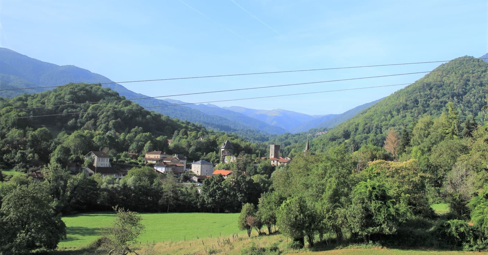
Mauléon-Barousse and the wooded Barousse valley; the Pilier des Sources is in the forest above the village and cannot be picked out here.

France · Barousse (Central Pyrenees)

Princetza d'Euskadi

A short, friendly pillar of wonderfully rough, sculpted limestone above a Pyrenean village, bolted in 2022 as a first multipitch. Five pitches of grade 3 and 4 with single moves of 5a (4c obligatory), fifteen minutes from the car. Ideal for learning rope work; experienced parties move together and are up in an hour.

5a5a5 pitches132 m

A view of the region, not this route's wall. The pillar of the Aiguille de la Cabane above the Cabane d'Orny; Bon accueil climbs this pillar.

Switzerland · Orny (Champex, Mont Blanc massif)

Voie des trois surplombs

A short, easy outing on beautifully sculpted granite half an hour from the Cabane d'Orny. Pitches 2 and 3 are the good ones, steep for the grade; the last two are more broken. Mind the first few metres, where the first bolt is high.

5a5a5 pitches160 m

Read the cautions

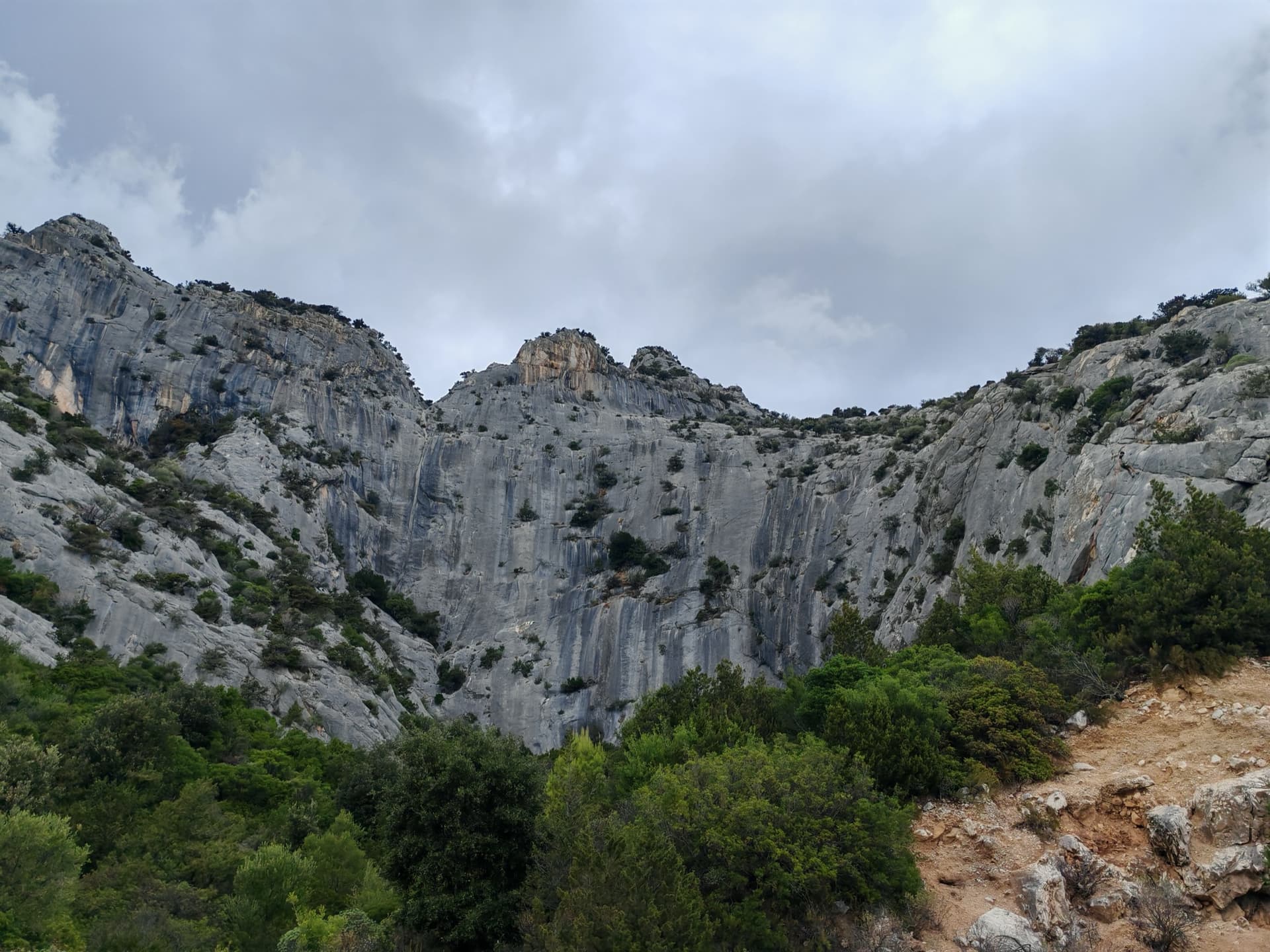
The grey limestone amphitheatre of La Poltrona above Cala Gonone, seen from the approach path.

Italy · Sardinia

Lilith

An easy and popular line on the big amphitheatre above Cala Gonone: three 4c pitches of juggy steps and easy-angled slabs, a short walk left through bushes, then a 35 m wall of heavily sculpted rock at 5a. Expect queues.

5a5a4 pitches120 m

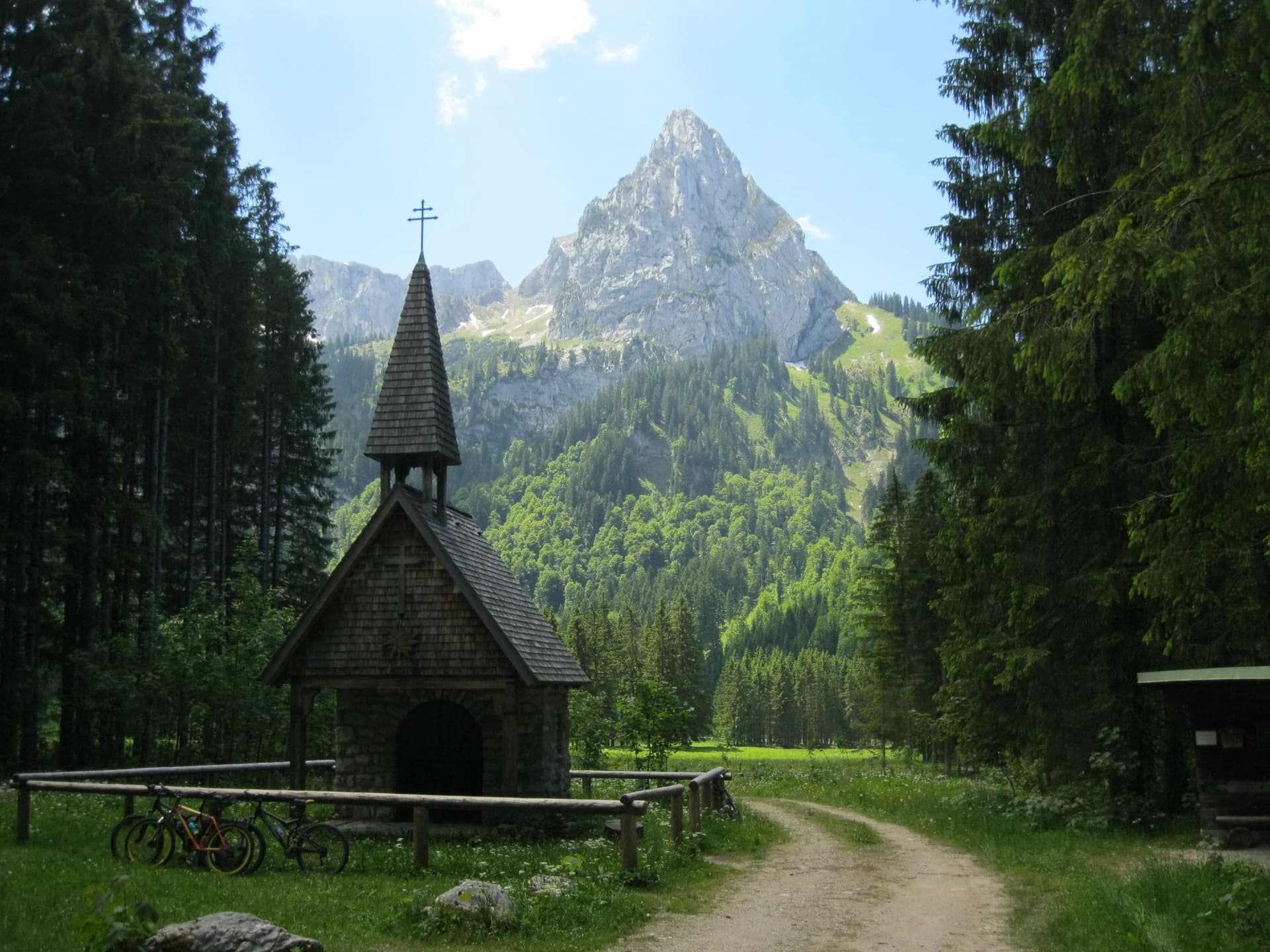
The Geiselstein from the Wankerfleck chapel, where the approach starts; the south face is on the far side

Germany · Ammergauer Alpen

Südverschneidung

The classic way up the Geiselstein, the 'Matterhorn of the Ammergau Alps'. After two scrappy pitches it follows a slabby corner system up the middle of the sunny south face: steep, exposed and on good rock, at about UIAA IV with one polished move of V at the start of the corner. The descent by the normal route needs as much care as the climb.

5a5a7 pitches260 m

Researched and aggregated by AI from published sources, last compiled October 2026. It can be wrong, and bolts, anchors and access change: check a current guidebook and read the disclaimer.