Greece · Cape Maleas (Peloponnese)
Zobolo tou Laou
An even, well-bolted line with sea views: a short corner and slab, steep walls and a superb final pitch with a juggy steep crux. The last belay is hanging and uncomfortable.
5c+4 pitches135 m
Zobolo – West Zobolo, near Neapoli (Laconia) · Cape Maleas (Peloponnese) · Greece
Bail not documentedBolting confidence: medium
Five short pitches on West Zobolo just left of Zobolo tou Laou: two at 6a, two easy ones at 5b, and a harder last pitch graded 6c by the developers and 6b on 27crags. Evenly bolted at 10 or 11 bolts per pitch. No pitch descriptions have been published.
The route
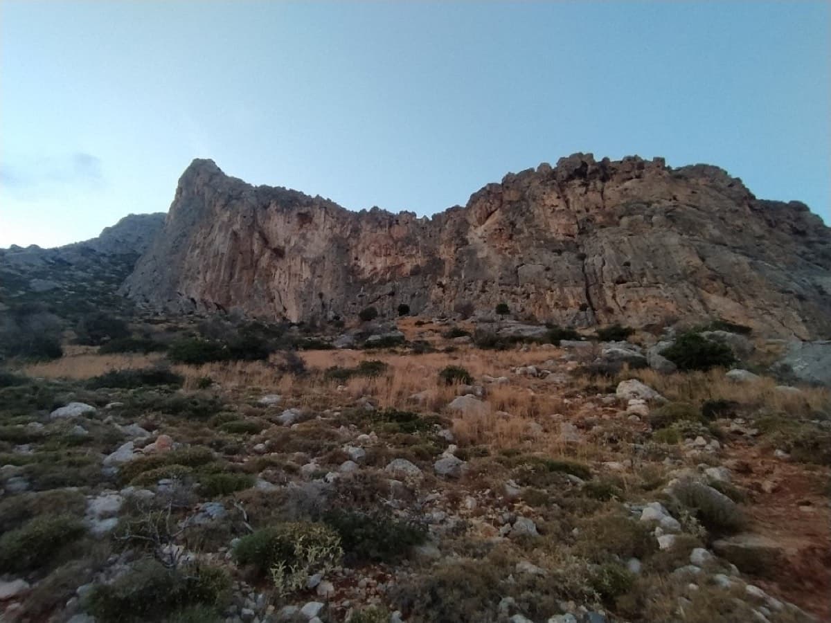
Ebnefsi ('inspiration'; spelt 'Epnevsi' on 27crags) is a five-pitch sport route on West Zobolo, the tallest sector of the Zobolo cliff at Cape Maleas. On the developers' topo it is route 5, between the partly trad Stathakis Giannis and Zobolo tou Laou. The pitches are short, 20 to 25 m, with 10 or 11 bolts each. The first four pitches are 5b to 6a and the last is the crux. Only grades, lengths and bolt counts have been published.
The climbing
| Pitch | Grade | Length | Bolts | Notes |
|---|---|---|---|---|
| P1 | 6a | 25 m | 10 bolts | No description published. |
| P2 | 6a | 25 m | 11 bolts | No description published. 27crags gives 6a+. |
| P3 | 5b | 20 m | 10 bolts | No description published. |
| P4 | 5b | 20 m | 10 bolts | No description published. |
| P5 | 6c | 25 m | 10 bolts | No description published. The crux pitch: 6c on the developers' topo, 6b on 27crags. |
Getting there
Drive to Neapoli at the southern end of the Laconian peninsula (from Athens via Sparta; from Leonidio via Geraki and Molai). On the Neapoli seafront turn left at the sign for Agios Nikolaos and Velanidia; Agios Nikolaos is 7 km on. At the entrance to the village turn right onto a sealed road and follow it for about 6.5 km to an unsurfaced road signed for Agia Marina and the climbing area, also the road to the fossil forest. About 2 km along it a sign points to the climbing area and the car park is on the left, roughly a kilometre before the fossil forest. Neapoli has the nearest accommodation and shops; bring all your water.
A red-marked path leads from the car park to the cliff. The local topo site gives 8 min to the first sector (Protos Toichos) and 17 min to West Zobolo, the far left and highest part of the cliff, where the multipitch routes are. Route names are painted at the base. On the developers' topo this is route 5, immediately left of Zobolo tou Laou. Do not confuse it with Stathakis Giannis further left, which needs a full rack.
Loading map
The point marks the crag, not the exact start of the route.
Parking
Zobolo climbing car park on the dirt road to the fossil forest (Mountain Project area point, stated to be set on the parking area)
Point from camptocamp waypoint 1321418 (Zobolo)
Contains the route point and parking. Opens in most mapping apps and GPS watches.
Points are compiled from published sources, with the precision stated above. They were not surveyed on the ground: check them against a current topo.
Coordinates: 36.44305, 23.12838 (crag) · Parking: 36.44066, 23.13060
Getting down
Not documented for this route. The neighbouring Zobolo tou Laou is descended by abseiling the route from belays with two unlinked bolts, each with a ring, on a 70 m rope; expect the same here but check from below.
Retreat
Bail not documented
Retreat and descent are not described for this route in any source found. The neighbouring four-pitch Zobolo tou Laou, by the same equipper, is descended by abseiling the route: its belays have two bolts, each with an abseil ring, not linked together. It is reasonable to expect similar belays here, but this is not confirmed.
Partly inferred from the route facts
Safety
Sun and weather
South-facing sea cliff a few hundred metres from the tip of the cape. The local topo site says the sun reaches West Zobolo at about 12:00 (about 11:00 on the sectors further right). The Monemvasia municipality page recommends the crag all day in winter and only early morning or evening in summer. Cape Maleas is known for wind, and Mountain Project warns the crag can be windy.
Sun on the wall · S-facing
Working out the sunlit hours for this month.
Sun on the wallDaylight, wall in shade● Usual season
Estimated from the wall's aspect only. Ignores surrounding terrain, gullies and the wall's exact shape. Clock times are local to the wall (Greek time), for the 15th of each month.
| Measure | Jan (usual season) | Feb (usual season) | Mar (usual season) | Apr (usual season) | May (usual season) | Jun | Jul | Aug | Sep | Oct (usual season) | Nov (usual season) | Dec (usual season) |
|---|---|---|---|---|---|---|---|---|---|---|---|---|
| Mean daily high °C | 13 | 13 | 15 | 18 | 22 | 26 | 29 | 30 | 26 | 22 | 18 | 14 |
| Mean daily low °C | 9 | 9 | 10 | 12 | 16 | 20 | 22 | 23 | 21 | 17 | 14 | 11 |
| Rain days 1 mm or more | 9 | 8 | 7 | 5 | 3 | 1 | 1 | 1 | 3 | 4 | 8 | 9 |
● marks the usual climbing season. Averages for 1991-2020 at about 164 m. Area climate from Open-Meteo reanalysis. Temperatures are adjusted to the height of the crag; rain comes from a grid cell of about 10 to 25 km, and summer highs on sea cliffs can read a few degrees low. The wall and valley can differ. Data: Open-Meteo, CC BY 4.0.
What to carry
11 quickdraws by the developers' bolt count, plus spares for the belays. Rope length is not stated; the pitches are 25 m or less (inferred: a 60 m rope would cover abseils of that length). Helmet.
Derived from the route data; check it against a current topo
From climbers
Reader reports are not being collected yet. Until they are, check a current topo and the local club or guidebook publisher for recent changes to Ebnefsi.
Worth knowing
Open questions
Provenance
Same area
Greece · Cape Maleas (Peloponnese)
An even, well-bolted line with sea views: a short corner and slab, steep walls and a superb final pitch with a juggy steep crux. The last belay is hanging and uncomfortable.
5c+4 pitches135 m
Greece · Cape Maleas (Peloponnese)
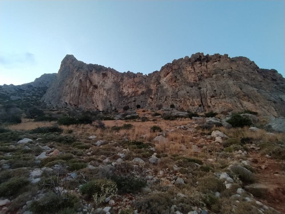
The right-hand multipitch of West Zobolo, skirting the right side of the grey wall at the highest point of the crag above the sea. An unpromising vegetated groove leads to a sustained 6a+ second pitch, a traverse on pitch 4 and a fine 6a slabby wall of prickly grey rock to finish.
6a+5 pitches130 m
Greece · Cape Maleas (Peloponnese)
A four-pitch route on West Zobolo between Stin Ygeia Mas and Kipouros, alternating easier and harder pitches: 5b, 6a+, 5c and a 6b+ finish. Well supplied with bolts on paper, but documented only by the developers' topo table.
6b+4 pitches115 m
Read the cautions
Around 6c · about 5 pitches
Spain · Costa Blanca (Cabeçó d'Or)
Delicate, technical wall climbing on small edges up a detached pillar and then the magnificent grey headwall above the hanging garden of the Paredón de los Alcoyanos. Sustained at 6b and above with little rest for the feet, and bolted as a sport route. A step across the void from the top of the pillar is the route's oddity.
6c5 pitches160 m
Austria · Wilder Kaiser
A short alpine sport route in the Schneekar that steepens as it goes: a scrambling start, fine water runnels on rough rock, then a smooth slab into an overhang on pitch 4. The crux is UIAA 7 to 7+ and can be aided on the bolts.
6c5 pitches180 m
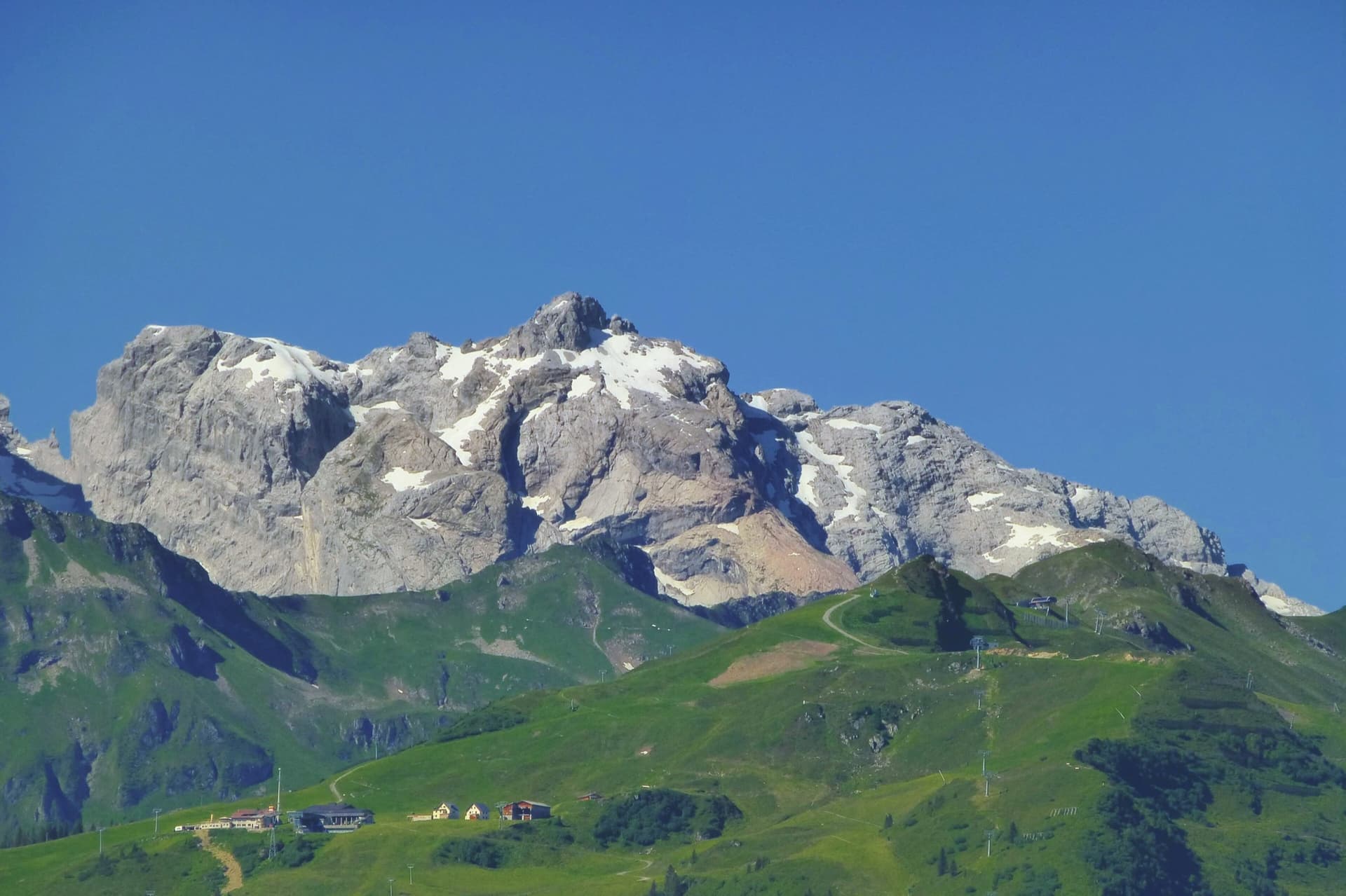
Austria · Rätikon (Montafon)
Starts up an inclined slab at the lowest point of the Gelbeck, climbs three long, easier pitches through the front spur to a sloping ledge, then finishes with two very steep wall pitches on sharp solution pockets that most parties climb with a few aid moves.
6c5 pitches200 m
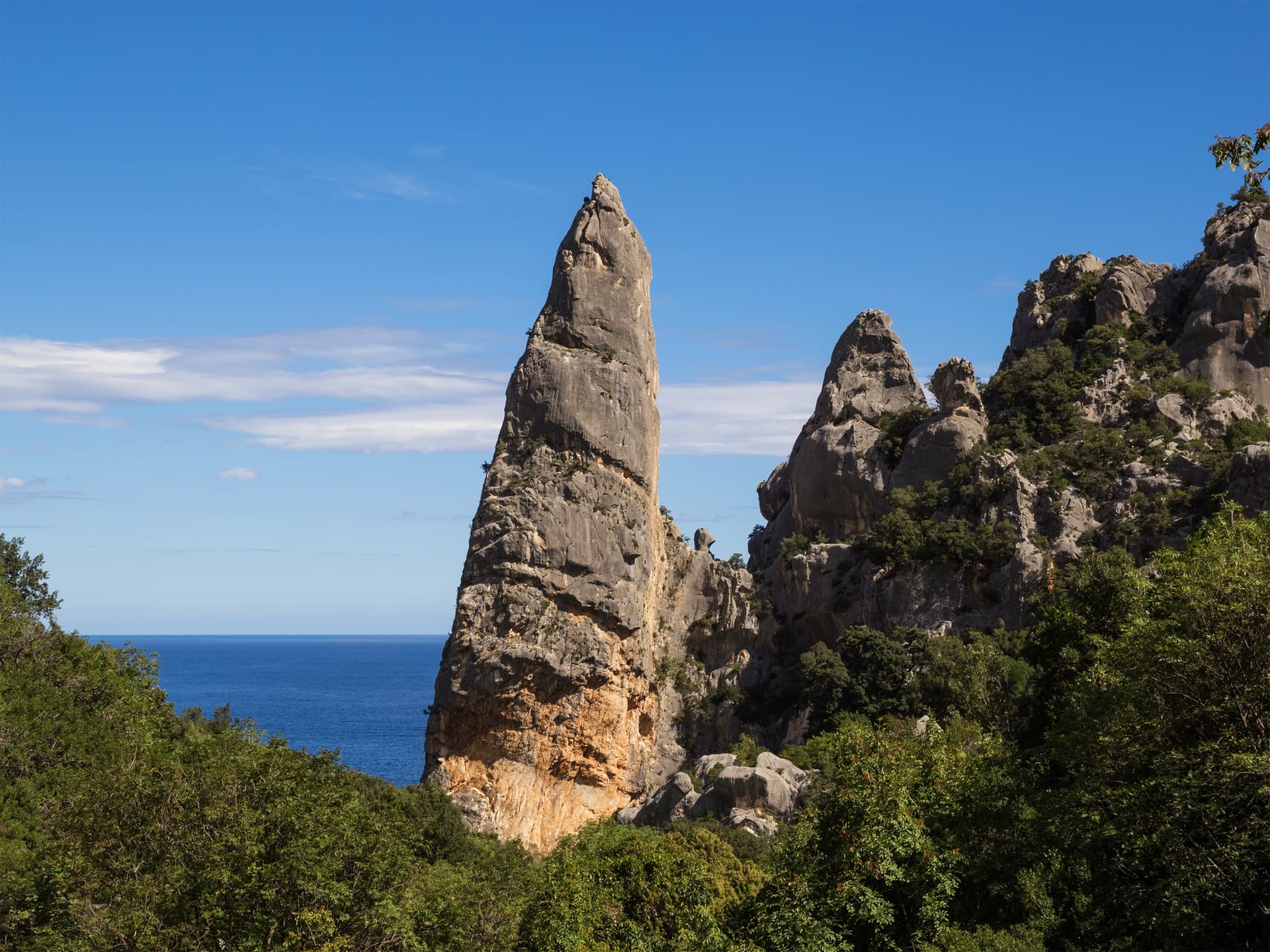
Italy · Sardinia
The harder classic on the Goloritzè spire: compact grey walls and smooth water-drop slabs at 6b to 6b+, then a 6c scoop and an airy finish to a tiny summit above the turquoise bay. Shaded, technical and on the feet.
6c4 pitches135 m
Compiled from published sources and last verified October 2026. Bolts, anchors and access change. Climbing is dangerous and you are responsible for your own decisions: check a current topo and read the disclaimer.