Multipitch Atlas

Spelling need not be exact.

Familienroute

Ueschenen · Kandersteg (Ueschenen) · Switzerland

Easy to bail

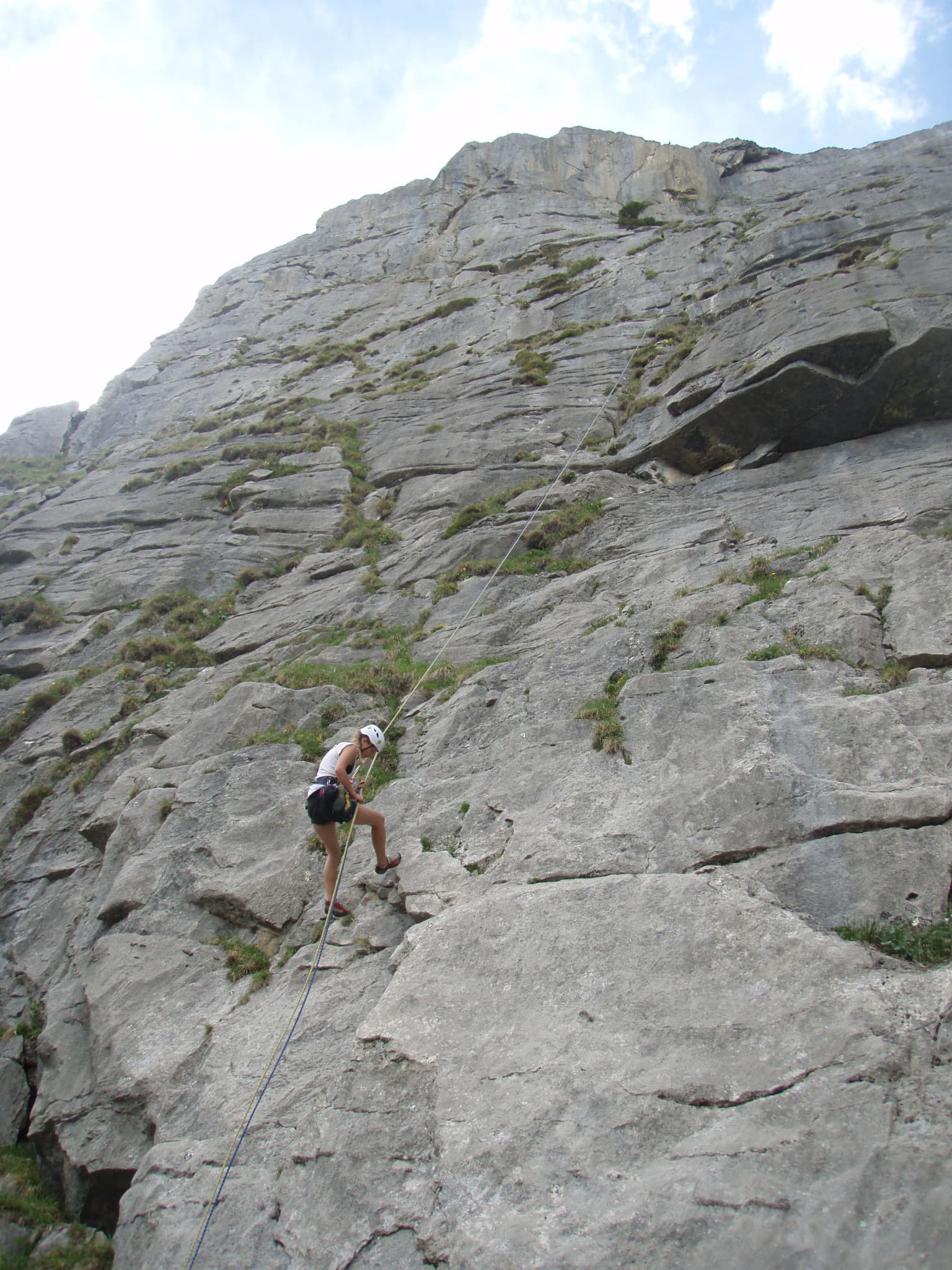
A gentle, very well bolted introduction to multipitch climbing on grey limestone slabs, four long pitches up water runnels and a final steepening wall. It is all about footwork, and the guidebook author Sandro von Känel picks it as one of the five best plaisir multipitches in the Bernese Oberland.

Climbers on the first pitch of the Familienroute, Ueschenen, on runnelled grey limestonePhoto: Bruno_W · CC BY-NC-ND 3.0

Photo

Hardest pitch
5b
Pitches
4
Length
140 m
Approach
30 min
Aspect
SE
South-east-facing
Rope
1×60 m
descent line
Rock
limestone
Season
Jun to Oct
Bolting confidence
High
Last verified
October 2026 · Compiled from published sources

Overview

The Familienroute climbs about 140 m of grey limestone slab at Ueschenen, above Kandersteg, in four long pitches of 40 to 45 m. Most of it follows water runnels more or less straight up, and the last pitch finishes up a wall that steepens towards the top. The standard line is 5b, with optional direct variants of 5c on pitches 3 and 4. It was first climbed in 1968 and rebolted in 1993 with plenty of bolts, and every belay is a chain with a maillon, which makes it a natural first multipitch. The name is painted at the foot of the route.

Worth knowing

  • Allow about 2 hours on the route plus the abseils (2014 and 2015 reports).
  • Look for the route name painted at the foot of the wall.
  • Combine it with Salü Res or another of the neighbouring routes for a full day.

Pitch by pitch

No topo we can show; see the sources.

Pitches of Familienroute
PitchGradeLengthNotes
P15a40 mMore or less straight up the water runnels.
P24c40 mAgain roughly straight up in the runnels.
P35b40 mThe difficulty is a short steep step after a ledge. Going straight up gives a 5c variant.
P45b45 m5a, then 5b as the wall steepens to the finish. A variant on the wall to the left is 5c. A 2014 party describes the crux of this pitch as 5c.

Approach

To the parking

Kandersteg is on the BLS line from Spiez (Bern–Lötschberg), so you can come by train. By car, drive through Kandersteg to the junction south of the village and turn right onto the Ueschenestrasse, a toll road that zigzags up into the Ueschenental. At point 1595 near the Restaurant Lohner keep right to the end of the road; a 2026 party left the car at the restaurant for 5 CHF paid to the owner, and Mountain Project mentions several small parking spots in the valley. Without a car, take the Allmenalp cable car (about 10 min on foot from Kandersteg station) and follow the path south across the slope to the road end.

On foot · about 30 min

About 30 min from the end of the road. The path starts 50 m before the barrier, climbs to an alp hut, continues above it and then makes a long traverse left to the foot of the wall. Mountain Project gives 15 to 40 min depending on where you park. The route start is clearly marked with its name; a 2015 party in fog lost time by looking too far right.

Map of the walk-in

Coordinates · crag

46.48333, 7.64133

Point from camptocamp waypoint 180631 (Ueschenen); Mountain Project gives 46.48315, 7.64089 for both routes, about 40 m away

For your phone or watch

Download GPX

Contains the route point.

Points from published sources, not surveyed.

Descent

From the top, walk about 50 m north along the top of the cliff to a red stake, follow a short fixed line to the first anchor, then make three abseils of about 22 m down a line reserved for descent; a single 60 m rope is plenty. You can also abseil the route itself (all belays are chains with a maillon), but the pitches are 40 to 45 m, so that needs two ropes.

Bailing off the route

Easy to bail

Every belay is a chain with a maillon, so you can abseil from any stance. The pitches are 40 to 45 m, so going straight down the route needs two ropes; from the top, the separate descent line (3 × 22 m) works with a single 60 m rope.

Retreat from
Any belay, by abseiling the route (two ropes).
Point of no return
None.
Carry
Two ropes to abseil the route itself from part-way up; a single 60 m rope is enough only for the descent line from the top.
Basis
Part stated, part inferredCamptocamp states that abseiling the route is possible and that all belays have chains with maillons; the two-rope requirement is inferred from the 40 to 45 m pitch lengths.

In an emergency · Switzerland

1414Rega air rescue

  • 144Ambulance
  • 112European emergency number

In Valais call 144.

Position of the crag

46.48333, 7.64133

Marks the crag, not the route: give route and pitch.

Say what happened, how many are hurt, and where you are. Checked October 2026 (source).

Hazards

  • Summer afternoon thunderstorms are common; start early.
  • The approach path can be muddy and slippery after rain, and in fog the start is hard to find.
  • The Diagonale nearby is very crowded; the routes on this wall are much quieter, but other parties may be above you.
  • The most recent detailed condition report on camptocamp is from 2015; check the current guidebook before you go.

Gear

Quickdraws only; the number per pitch is not published, so take enough for 45 m pitches. A single 60 m rope if you use the descent line. Helmet.

Checklist

Quickdraws
Not given
Rope
1×60 m (descent line)
Helmet
One each
Abseil device and prusik
For abseiling

Conditions

Plan B nearby

  • EasierGemstritt5a7 pitchesfaces SW22 km away
  • HarderSilbermantel5b+8 pitchesfaces E22 km away

Also on Ueschenen

Straight-line distances, up to 30 km.

Reader reports

No reports yet.

Report a problem with this route

Say what and where. Reports are checked before they appear; no name or email is stored.

Bolts and history

Bolting
Rebolted in 1993 and generously bolted: camptocamp parties in 2014 and 2015 call the equipment plentiful and top condition, and the Filidor guidebook author describes it in 2023 as very well protected. Every belay is a chain with a maillon. The newest dated report found is from 2024 (Mountain Project: bolts and bolted anchors); there is no detailed condition report since 2015.
History
First climbed by Jürg von Känel and Hans Müller in 1968; rebolted in 1993.
Guidebook
Schweiz Plaisir West (Filidor), Kletterführer Berner Voralpen, and Kletterführer Berner Oberland Nord (SAC).

Where sources disagree

  • Grade: camptocamp gives 5b obligatory and 5c with the direct variants; lacrux lists it at 5c; Mountain Project gives 5b. The pitch list uses the camptocamp standard line (5b).
  • Length: lacrux gives 140 m; the camptocamp pitch lengths add up to 165 m; Mountain Project gives 91 m (300 ft).

Sources

More in Kandersteg (Ueschenen)

All routes in Kandersteg (Ueschenen)
The face of Salü Res at Ueschenen, with a climber on the lower slabs

Switzerland · Kandersteg (Ueschenen)

Salü Res

Four long pitches of increasing difficulty on excellent grey limestone: pocketed slab, a smooth friction crux on pitch 3, and a short, steep final wall on flat holds that gives the 6a. Varied and sustained for the grade, with a few short grassy ledges in between.

6a4 pitches140 m

Around 5b · about 4 pitches

Similar elsewhere

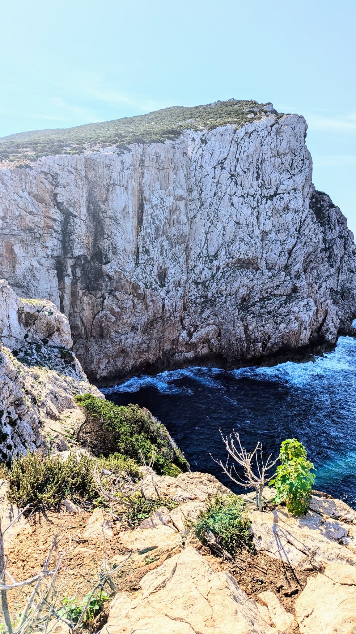
The north-facing sea cliff of Capo Caccia, seen from the cliff top

Italy · Sardinia

Naqoyqatsi

An abseil-in sea-cliff route next to Powaqqatsi: three abseils to a platform just above the water, then four pitches back out. A steep first step, a fine sustained slab on pitch 2, then easy slabs to the top. Check the park access rules before you go.

5b4 pitches130 m

Read the cautionsCommitting

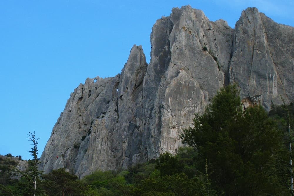
The north face of the Gigondas chain at the Aiguillette Lagarde and Trois Plaques sectors, with a window through the crest visible on the left; Petite Émeline climbs on this side. The line is not marked.

France · Dentelles de Montmirail

Petite Émeline

A short, generously bolted beginner's multipitch on the north face of the Gigondas chain: an easy corner, a fine vertical wall, a rising traverse, and then a squeeze through a natural window in the crest to finish on the sunny south side. Polished from traffic but full of character, and done in an hour or so.

5b4 pitches65 m

A view of the region, not this route's wall. Limestone blocks of the Marocche di Dro rockfall beneath the upper walls of Monte Brento, the setting of the Placche Zebrate.

Italy · Arco & Valle del Sarca

Via Trento

Four long pitches of easy-angled friction slab on the far left of the Placche Zebrate, a touch harder than its neighbour Via del 46° Parallelo and just as popular. The rock is rough and pleasant almost everywhere, with one smoother section on the second and third pitches where the 5a to 5b moves are. A good first route on these slabs.

5b4 pitches180 m

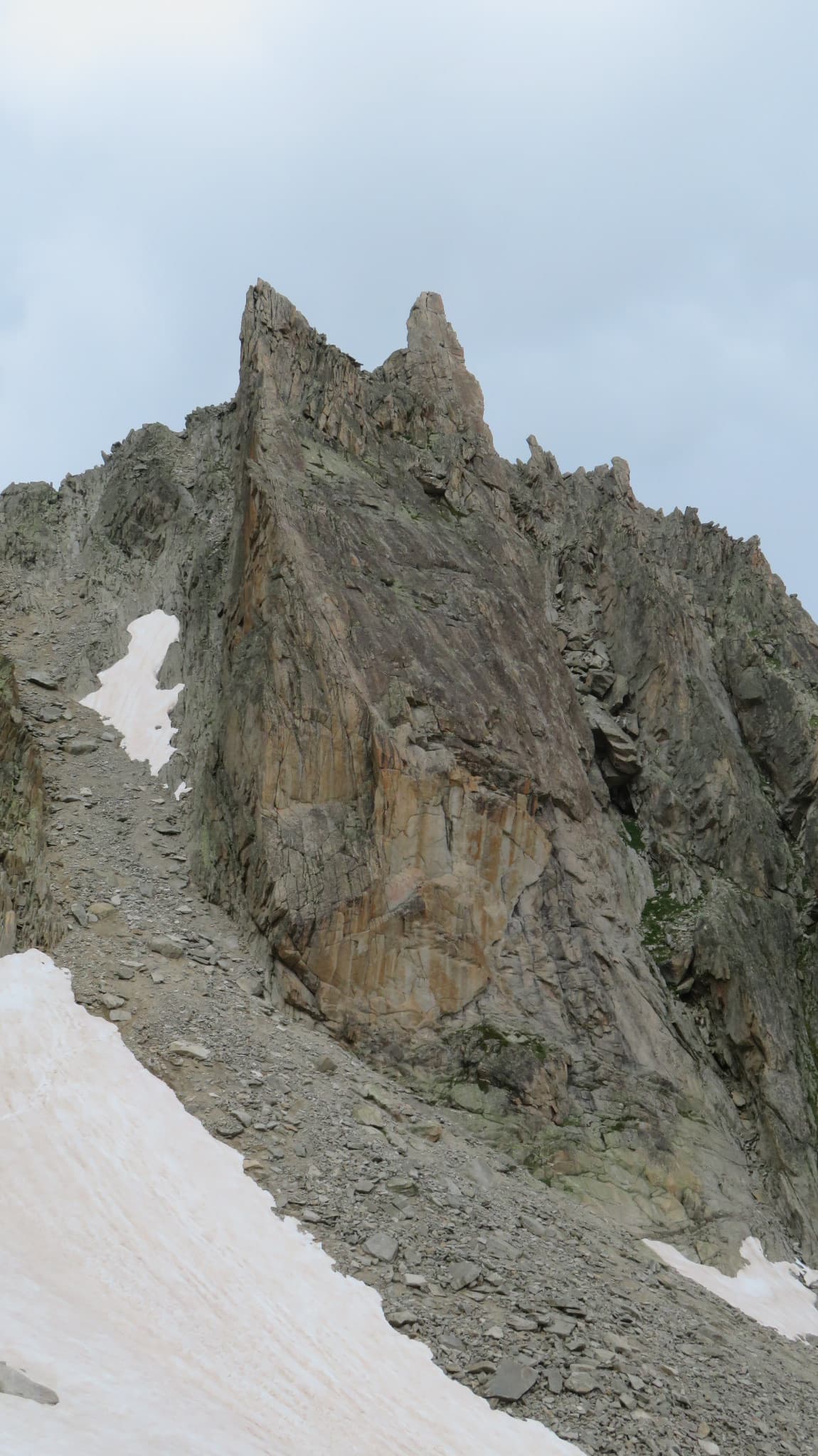
A view of the region, not this route's wall. The pillar of the Aiguille de la Cabane above the Cabane d'Orny; Bon accueil climbs this pillar.

Switzerland · Orny (Champex, Mont Blanc massif)

Petite fleur

Four pitches on a pillar of orange granite beside the path to the Cabane d'Orny, made to be climbed on the way up to the hut. The rock is cut into big blocks with positive edges. The last two pitches are steeper and more sustained than the grade suggests.

5b4 pitches100 m

Compiled from published sources, last verified October 2026. Bolts, anchors and access change: check a current topo and read the disclaimer.