Multipitch Atlas

Petite fleur

Ancienne cabane d'Orny – south face · Orny (Champex, Mont Blanc massif) · Switzerland

Bail with caveatsBolting confidence: medium

Four pitches on a pillar of orange granite beside the path to the Cabane d'Orny, made to be climbed on the way up to the hut. The rock is cut into big blocks with positive edges. The last two pitches are steeper and more sustained than the grade suggests.

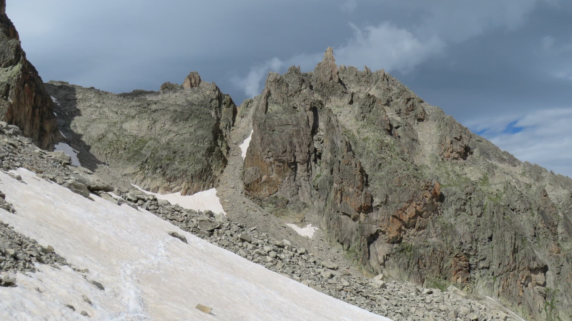
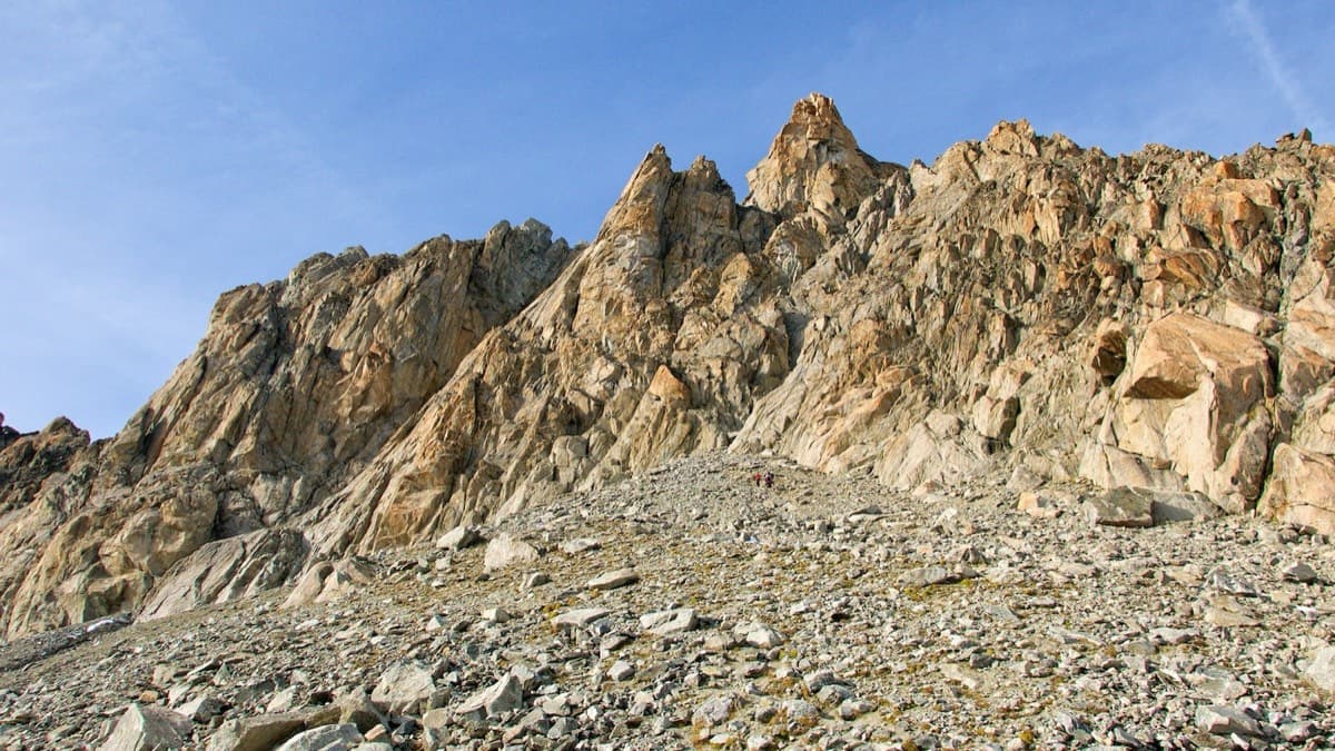
A view of the region, not this route's wall. The south side of the Aiguille d'Orny above the scree slope of the approachPhoto: alexduchablais · CC BY-SA 3.0

Photo

A view of the region, not this route's wall. The south side of the Aiguille d'Orny above the scree slope of the approachPhoto: alexduchablais · CC BY-SA 3.0
Hardest pitch
5b
Pitches
4
Length
100 m
Approach
105 min
Aspect
S
South-facing
Rope
1×50 m with the walk-off
2×50 m to abseil

The route

Overview

Petite fleur is one of a handful of routes opened beside the hut path in the Combe d'Orny, on the cliffs near the site of the old hut. It gives four pitches up a whitish pillar that stands with its feet almost in the stream. It suits a party walking up to the Cabane d'Orny with time in hand, or a short day from the chairlift. Allow about two hours of climbing.

The climbing

Pitch by pitch

Pitches of Petite fleur
PitchGradeNotes
P14cClimb the white pillar: steep to start, then it soon lies back.
P24aEasy ground; follow the bolts.
P35bAbove the belay climb a yellowish wall under an overhang, following a crack that forms a ramp rising to the right. Continue straight up by easy-angled corners and steps to a comfortable belay under an overhang, sheltered on the left by a big block.
P45aGo round the big block to reach a ramp that rises rightwards to the top.

Getting there

Approach

To the parking

From Martigny take the train to Orsières and the bus (or drive) to Champex-Lac (1498 m). The La Breya chairlift carries you to Grands Plans at about 2190 m, from where a mountain path leads to the Cabane d'Orny (2811 m) in roughly two hours. The chairlift runs in summer only and stops for a midday break, so check the timetable and the last ride down. Without the lift the walk from Champex takes about four and a half hours; there is also a longer path from Praz-de-Fort. Most parties sleep at the hut, which should be booked ahead. For this route you do not need to go as far as the hut.

On foot · about 105 min

From the top of the La Breya chairlift take the marked path to the Cabane d'Orny. It contours into the Combe d'Orny, joins the path from Champex near the Darbellay stream at 2464 m and enters a small valley where the stream bed flattens. Cross this and climb the slope at its eastern end. The route starts where the path comes closest to the cliff on its right, where the moraine proper begins, at about 2620 to 2640 m, on a whitish pillar that is the only one with its foot in the stream. A 2023 party found the start obvious, 30 m from the path. About 1 h 45 from the chairlift.

Map of the walk-in

  • Crag
  • Parking

Loading map

The point marks the crag, not the exact start of the route.

Coordinates · crag

46.00371, 7.07457

Parking

46.02158, 7.10303

Top station of the La Breya chairlift at Grands Plans (camptocamp access waypoint 1205077); the trailhead for the hut path. The lift starts in Champex-Lac.

Point from camptocamp locality waypoint 1567769 (Ancienne cabane d'Orny)

For your phone or watch

Download GPX

Contains the route point and parking. Opens in most mapping apps and GPS watches.

Points are compiled from published sources, with the precision stated above. They were not surveyed on the ground: check them against a current topo.

Getting down

Descent

Two options. By abseil (described by a 2023 party): from the last belay a 45 m free-hanging abseil lands on a grassy ramp; walk down it to the left, facing out towards the valley, then make a last 12 m abseil, or down-climb at about grade 3, to the path close to the start. On foot (described in 2008): climb the slabs above the last belay and 50 m of scree, traverse left (west) through the scree, then descend diagonally over grass, scree and an easy cracked slab to the old hut site.

Retreat

Bailing off the route

Bail with caveats

The route is only four pitches and the walk-off from the top is short, so the usual answer is to finish. Abseiling from part-way is not described; the 2008 account notes that an oblique abseil from the top back to belay 3 is awkward.

Retreat from
From the lower belays by abseil (inferred from the bolted belays and the fairly direct line of pitches 1 and 2).
Point of no return
None of note.
Carry
Two ropes if you intend to use the 45 m abseil; maillons in case the lower belays are not rigged.
Basis
Inferred from the route factsSources describe only the descent from the top.

Partly inferred from the route facts

Safety

Hazards

  • The 45 m abseil is free-hanging and intimidating; the 2008 account warns that a vertical abseil from the top runs the rope over the lip of the overhang and lands on overhanging slabs away from belay 3, and chose to walk off.
  • Bolts are more spaced on the easy sections.
  • The walk-off crosses loose scree and a slab that must be down-climbed.

Sun and weather

Conditions

South-facing at about 2620 to 2720 m, lower and more sheltered than the routes above the hut. The season follows the chairlift, roughly late June to mid-September.

Usual season · Jul to Sep

Sun on the wall · S-facing

Working out the sunlit hours for this month.

  • January: not yet worked out
  • February: not yet worked out
  • March: not yet worked out
  • April: not yet worked out
  • May: not yet worked out
  • June: not yet worked out
  • July (usual season): not yet worked out
  • August (usual season): not yet worked out
  • September (usual season): not yet worked out
  • October: not yet worked out
  • November: not yet worked out
  • December: not yet worked out

Sun on the wallDaylight, wall in shade● Usual season

Estimated from the wall's aspect only. Ignores surrounding terrain, gullies and the wall's exact shape. Clock times are local to the wall (Central European time), for the 15th of each month.

Monthly climate averages for Orny (Champex, Mont Blanc massif), 1991-2020
MeasureJanFebMarAprMayJunJul (usual season)Aug (usual season)Sep (usual season)OctNovDec
Mean daily high °C−11−9−5−227101062−5−10
Mean daily low °C−18−17−14−10−6−211−3−7−13−17
Rain days 1 mm or more131214141818181614131414

● marks the usual climbing season. Averages for 1991-2020 at about 2847 m. Area climate from Open-Meteo reanalysis. Temperatures are adjusted to the height of the crag; rain comes from a grid cell of about 10 to 25 km, and summer highs on sea cliffs can read a few degrees low. The wall and valley can differ. Data: Open-Meteo, CC BY 4.0.

What to carry

Gear

Quickdraws (number not published) and a helmet. A single rope is enough if you walk off: the 2008 party used a 45 m rope. The abseil descent needs two 50 m ropes for the 45 m free-hanging abseil.

Checklist

Quickdraws
Number not given in the sources
Rope
1×50 m with the walk-off; 2×50 m to abseil
Helmet
One each
Abseil device and prusik
The descent or the retreat involves abseiling
Maillons or spare karabiners
To leave behind if you retreat

Derived from the route data; check it against a current topo

From climbers

Reader reports

Reader reports are not being collected yet. Until they are, check a current topo and the local club or guidebook publisher for recent changes to Petite fleur.

Worth knowing

Tips

  • Leave your hut luggage at the foot of the route; the abseil descent returns you close to the start.
  • If the big abseil does not appeal, plan on the walk-off and carry your shoes.

Open questions

Where sources disagree

  • Height: 100 m on camptocamp, 120 m in 'Entremont Escalades' as quoted in the 2008 account.
  • Overall grade: D on camptocamp, D+ in 'Entremont Escalades'.
  • Bolt spacing: every 5 to 6 m (2008) against every 3 to 4 m on the climbing sections (2023).
  • Altitude of the start: about 2620 m (camptocamp) or 2640 m (2008 account); the 2008 account heads its page '2700 m'.
  • Descent: camptocamp gives only the abseil line; the 2008 account advises against abseiling and describes the walk-off.

Provenance

Sources

Same area

More in Orny (Champex, Mont Blanc massif)

All routes in Orny (Champex, Mont Blanc massif)
The south side of the Aiguille d'Orny above the scree slope of the approach

Switzerland · Orny (Champex, Mont Blanc massif)

La Moquette

Nine pitches up a granite spur and the final tower of the Aiguille d'Orny to a 3150 m summit, on rough, cracked rock with superb friction. Two moves of 5b, the rest 4b and 4c, closely bolted since 2016 and easy enough to climb in boots. The three steep pitches on the summit tower are the highlight.

5b9 pitches250 m
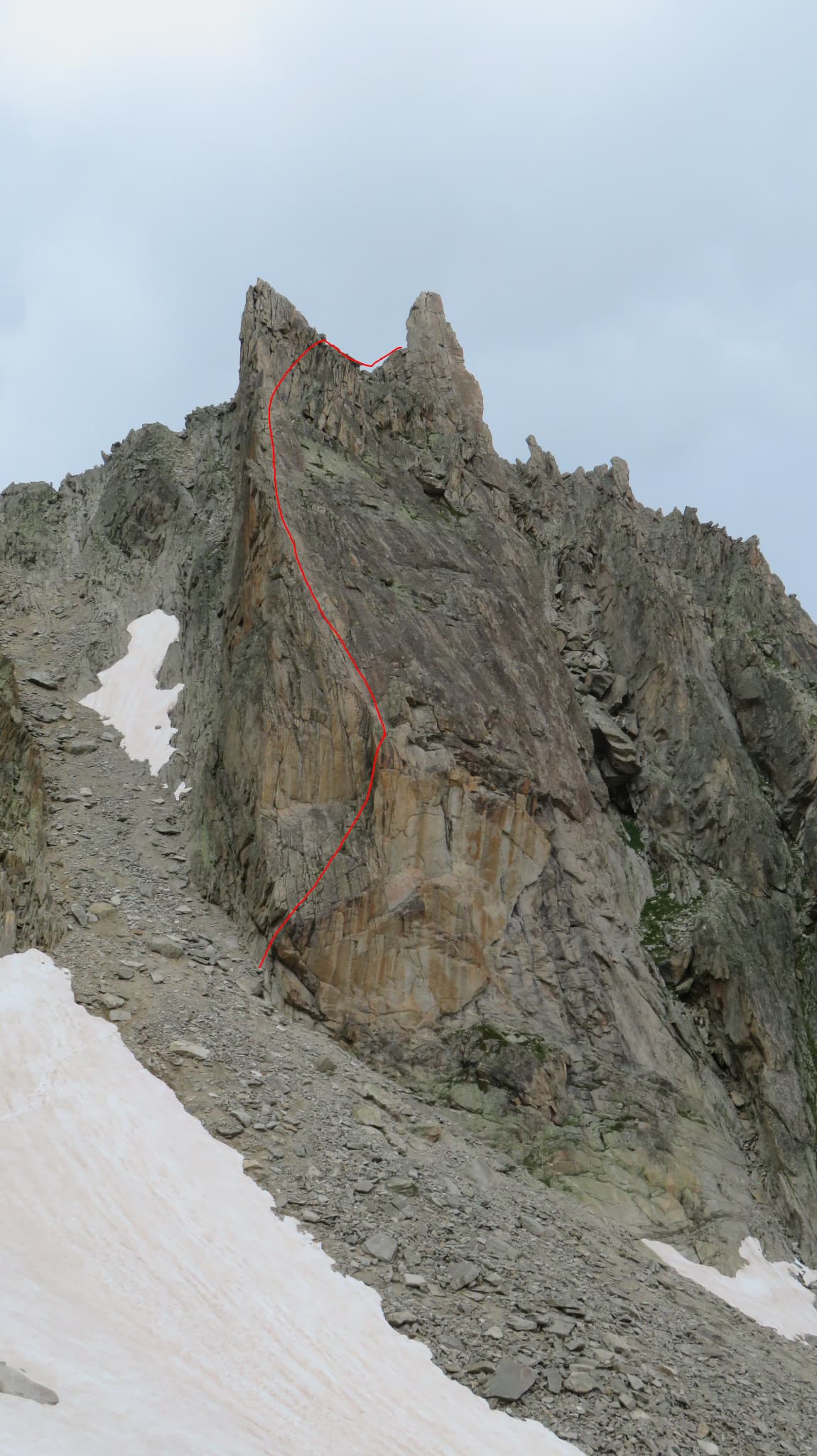
The Aiguille de la Cabane from the hut side, with the line of Bon accueil drawn on the pillar

Switzerland · Orny (Champex, Mont Blanc massif)

Bon accueil

The friendliest long route at the Cabane d'Orny: four short pitches up the lower spur, a walk right along a ledge, then two steeper pitches up the red summit bastion. The first pitch is the crux, a physical corner that many find hard for 5b, and it can be avoided by an easier bolted start. Fine rough granite and a summit at almost 3000 m.

5b6 pitches130 m

The Aiguille de la Cabane above the Orny hut path: the lower spur, the ledge and the summit bastion

Switzerland · Orny (Champex, Mont Blanc massif)

Tichodrome

Slab and flake climbing on superb granite ten minutes from the hut, finishing with a 35 m pitch of cracks and knobs on the orange summit bastion. The 6a is the last pitch and is steady rather than cruxy. The lower pitches are easier and a little more spaced.

6a6 pitches180 m

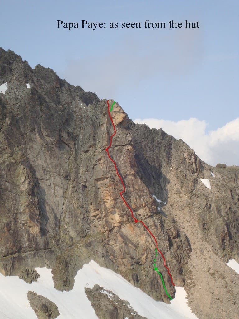
The south face of the Gendarme d'Orny seen from the hut. The marked line is the neighbouring route Papa paye; the Voie des trois surplombs starts just to its right and shares the lower corner

Switzerland · Orny (Champex, Mont Blanc massif)

Voie des trois surplombs

A short, easy outing on beautifully sculpted granite half an hour from the Cabane d'Orny. Pitches 2 and 3 are the good ones, steep for the grade; the last two are more broken. Mind the first few metres, where the first bolt is high.

5a5 pitches160 m

Read the cautions

Around 5b · about 4 pitches

Similar elsewhere

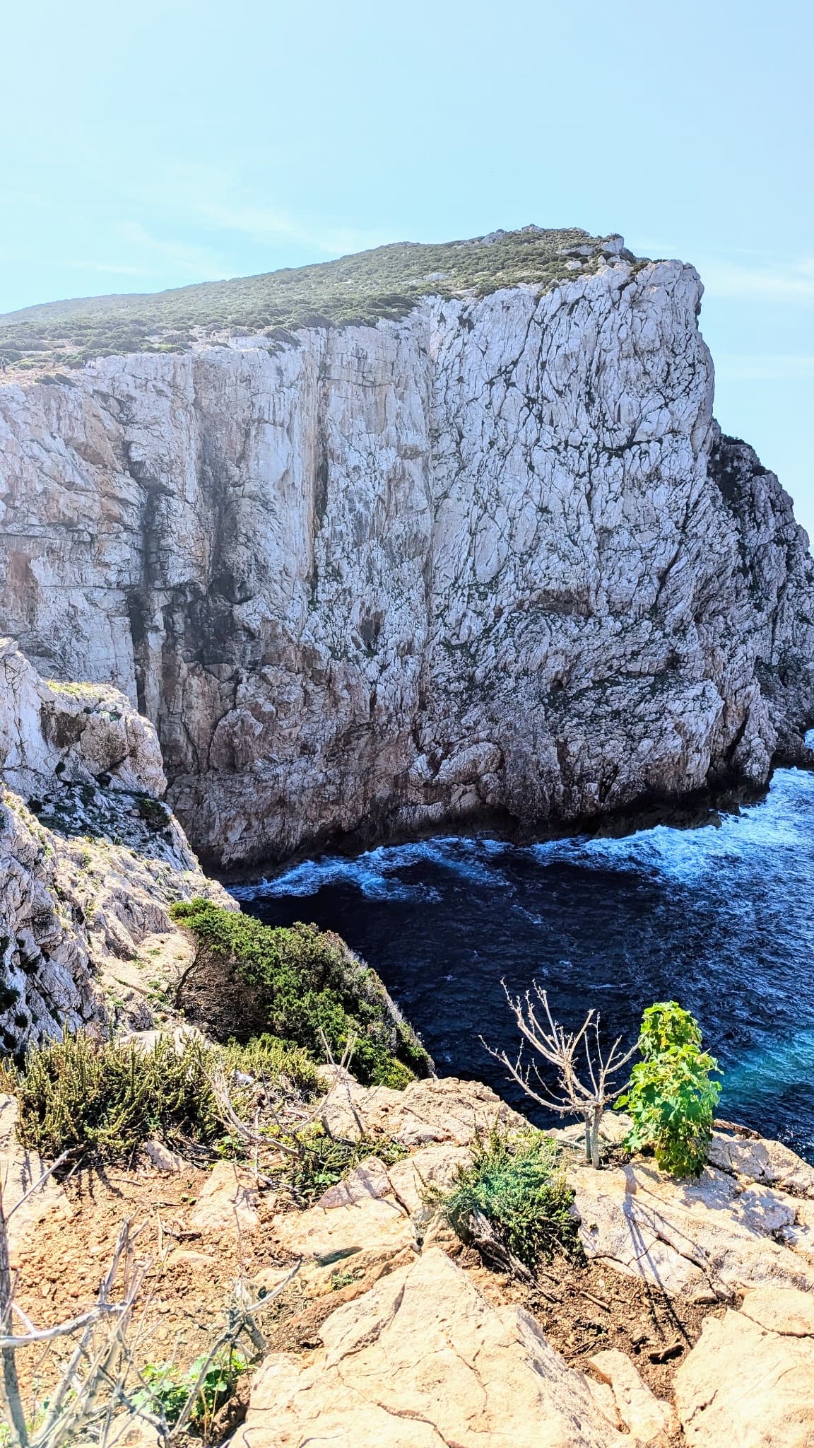
The north-facing sea cliff of Capo Caccia, seen from the cliff top

Italy · Sardinia

Naqoyqatsi

An abseil-in sea-cliff route next to Powaqqatsi: three abseils to a platform just above the water, then four pitches back out. A steep first step, a fine sustained slab on pitch 2, then easy slabs to the top. Check the park access rules before you go.

5b4 pitches130 m

Read the cautionsCommitting

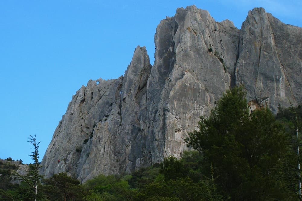
The north face of the Gigondas chain at the Aiguillette Lagarde and Trois Plaques sectors, with a window through the crest visible on the left; Petite Émeline climbs on this side. The line is not marked.

France · Dentelles de Montmirail

Petite Émeline

A short, generously bolted beginner's multipitch on the north face of the Gigondas chain: an easy corner, a fine vertical wall, a rising traverse, and then a squeeze through a natural window in the crest to finish on the sunny south side. Polished from traffic but full of character, and done in an hour or so.

5b4 pitches65 m

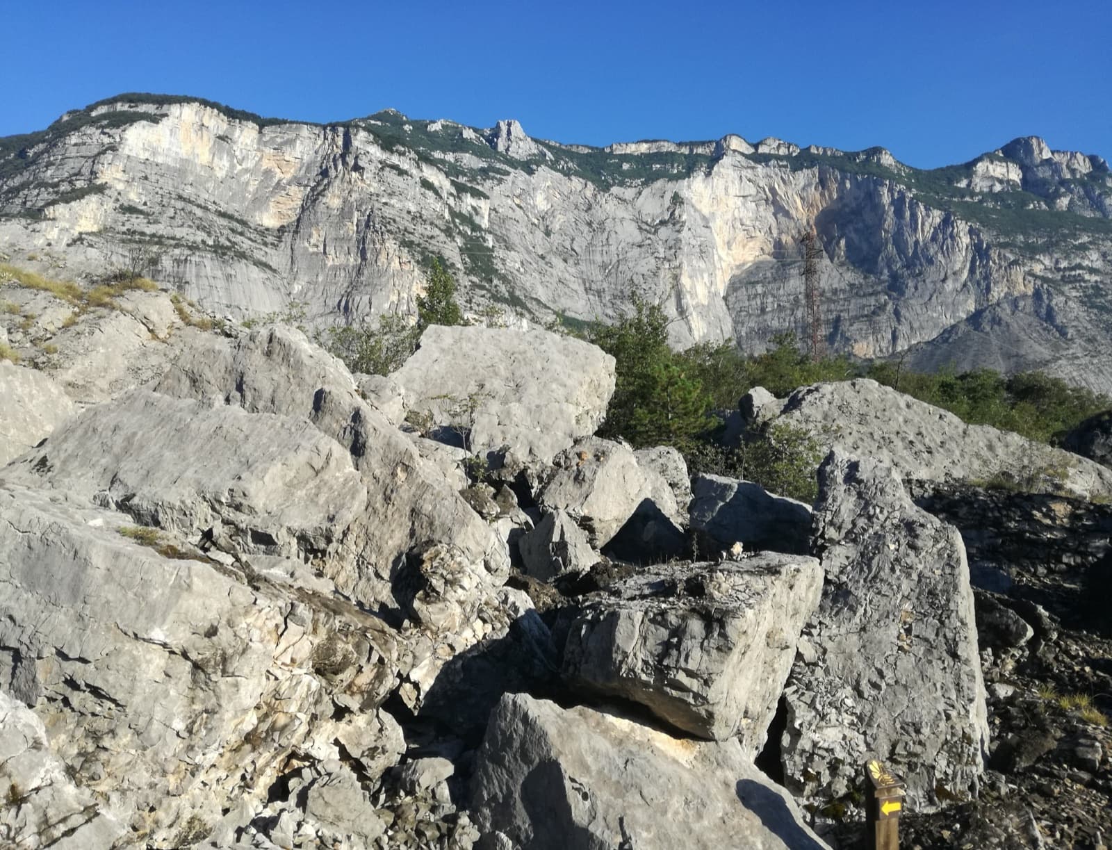
A view of the region, not this route's wall. Limestone blocks of the Marocche di Dro rockfall beneath the upper walls of Monte Brento, the setting of the Placche Zebrate.

Italy · Arco & Valle del Sarca

Via Trento

Four long pitches of easy-angled friction slab on the far left of the Placche Zebrate, a touch harder than its neighbour Via del 46° Parallelo and just as popular. The rock is rough and pleasant almost everywhere, with one smoother section on the second and third pitches where the 5a to 5b moves are. A good first route on these slabs.

5b4 pitches180 m

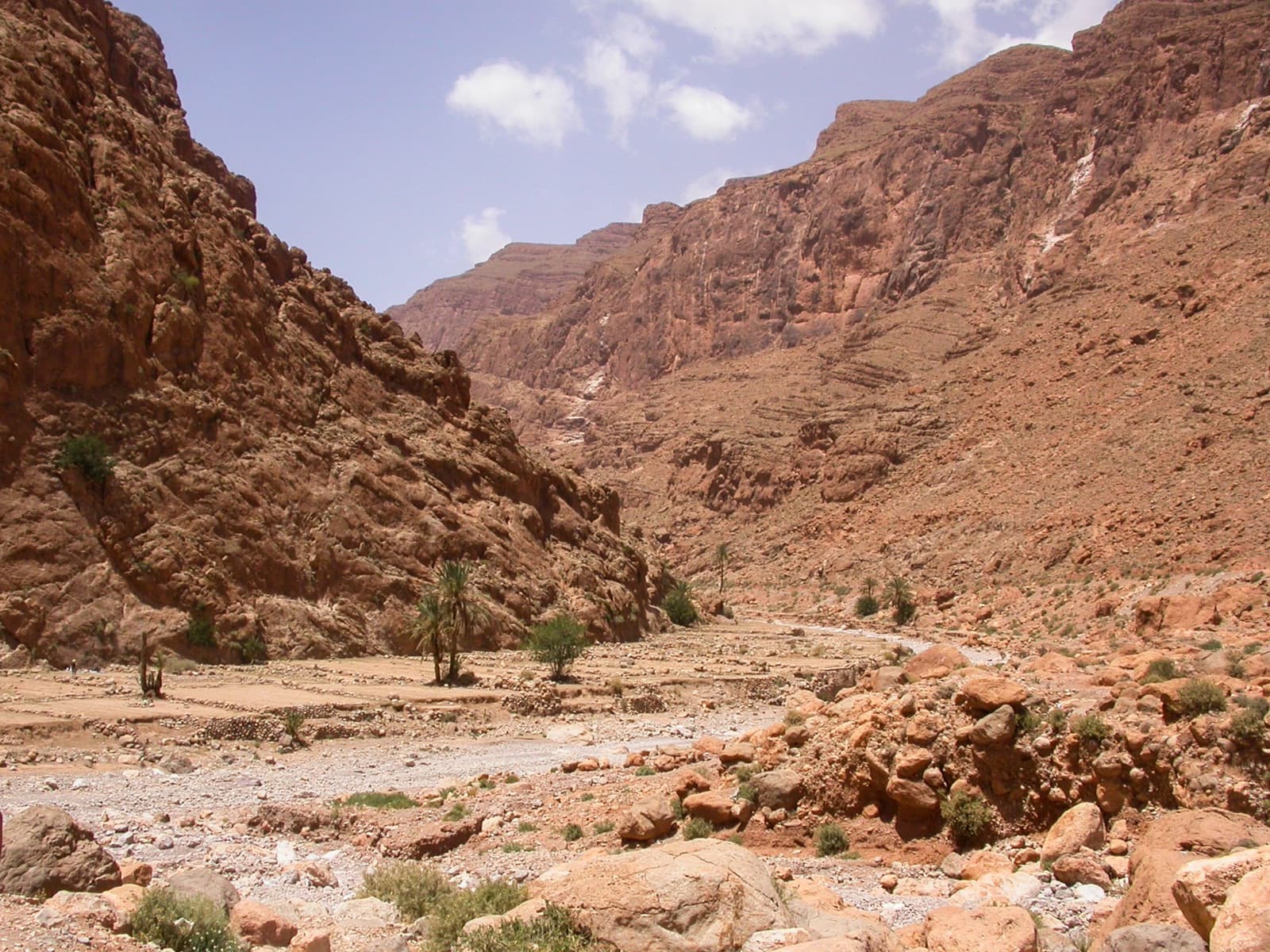
Palms and garden terraces on the riverbed just upstream of the Todra narrows, the setting of the Jardin d'été sector.

Morocco · Todra Gorge (Todgha)

Tik Sab

Four pitches of even 5b, five minutes from the road. In the sun all afternoon. A good short first multipitch of a trip.

5b4 pitches125 m

Compiled from published sources and last verified October 2026. Bolts, anchors and access change. Climbing is dangerous and you are responsible for your own decisions: check a current topo and read the disclaimer.