Multipitch Atlas

Knöchelbruch

Kleiner Säuling – west face (Tirol side, above Pflach) · Ammergauer Alpen · Germany

Easy to bailBolting confidence: medium

A steep line up the compact west wall of the Kleiner Säuling, ten minutes from the Säulinghaus. Wall and corner climbing on small pockets and edges, mostly UIAA 6+ to 7- (about 6a+ to 6b), with a crux that is 7 to 7+ free or 6 with a pull on the bolts. Belays on ledges and an abseil descent make it a low-commitment day once you have walked up.

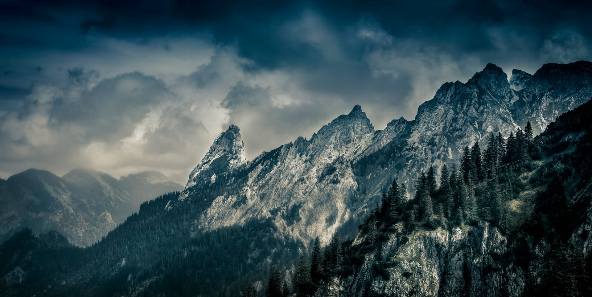
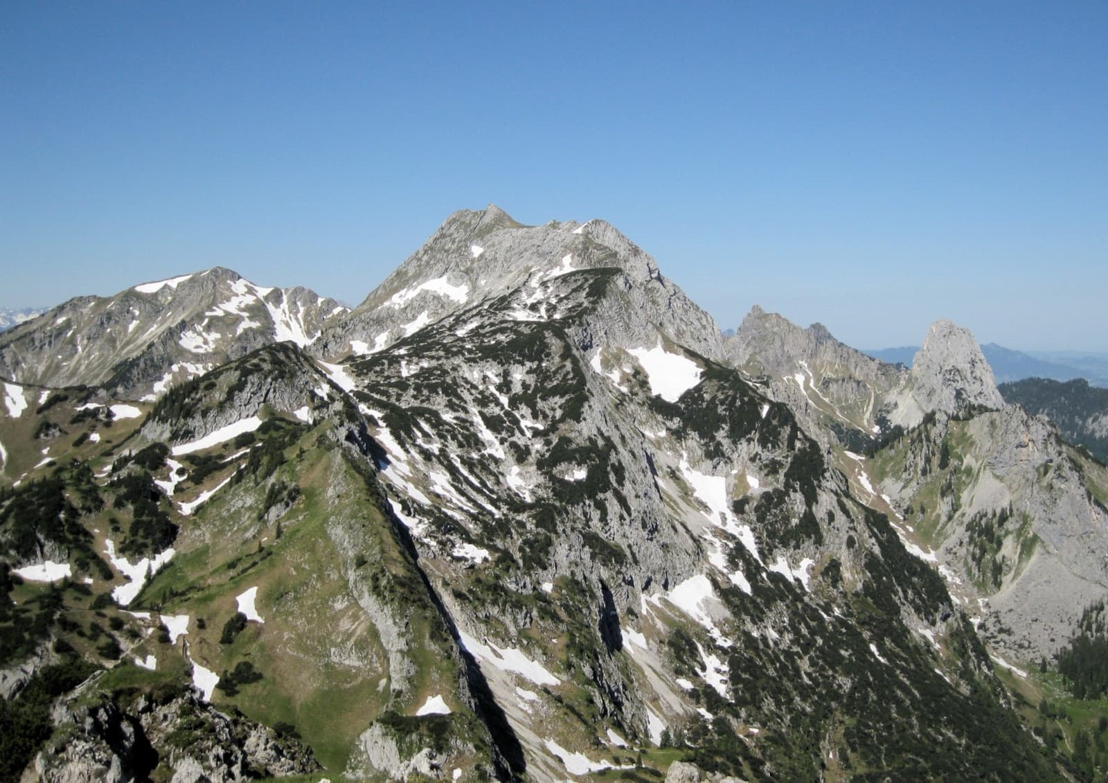
A view of the region, not this route's wall. The Hochplatte in the Ammergau Alps seen from the east in early summer; the Schlössel crag is on this side of the massif but cannot be picked out.Photo: Jensibua · CC BY-SA 3.0

Photo

A view of the region, not this route's wall. The Hochplatte in the Ammergau Alps seen from the east in early summer; the Schlössel crag is on this side of the massif but cannot be picked out.Photo: Jensibua · CC BY-SA 3.0
Hardest pitch
6c
Pitches
8
Length
180 m
Approach
100 min
Aspect
W
West-facing
Rope
2×60 m

The route

Overview

The Kleiner Säuling is the subsidiary summit just behind the Säulinghaus, and its west wall is 150 to 180 m of the firm, rough limestone the Ammergau Alps are known for. Knöchelbruch ('broken ankle', after the author's accident on the approach) takes it in eight pitches. Six of them are in the upper sixth to seventh UIAA grade, one is 5+ and one is a grade 3 link. The crux fourth pitch is given 7 on the topo and 7+ free in the text, or 6 with aid, and UIAA 6 is obligatory. The first ascensionist rates it among the finest routes in the range; no independent report was found, so take that as the author's view.

The climbing

Pitch by pitch

Pitches of Knöchelbruch
PitchGradeNotes
P16a+/6bUIAA 7-. Steep wall climbing straight off the ground, cold in the morning shade.
P25bUIAA 5+.
P36a+/6bUIAA 7-.
P46c (A0)The crux: UIAA 7 on the topo and 7+ free in the article, or UIAA 6 with aid from the bolts.
P55cUIAA 6-.
P66a+/6bUIAA 7-, small-hold wall climbing.
P73UIAA 3-, a short link.
P86a+/6bUIAA 7- to the top, which is a large meadow at the summit of the Kleiner Säuling.

Getting there

Approach

To the parking

The Säuling stands on the border between Bavaria and Tirol, and its west and south sides, where this route lies, are in Austria. Drive from Füssen or Reutte to Pflach. South of the village centre cross the small level crossing, signposted 'Säulinghaus', and follow the lane east for about 1 km to the Säulinghaus car park at about 880 m. By public transport: train to Pflach, then on foot to the car park. From the car park the hiking path reaches the Säulinghaus in about 1 h 30 (800 m of ascent); the gravel road can be ridden by mountain bike for 6 km to a turning place, from where the hut is 30 min on foot.

On foot · about 100 min

From the Säulinghaus go east through a patch of wood and then over blocky ground and scree to the foot of the wall, in the fall line of the Kleiner Säuling: 5 to 10 min. Watch your footing on the blocks: a toppling boulder here broke the author's ankle. Allow 1 h 30 to 2 h from the car park to the hut.

Map of the walk-in

  • Crag
  • Parking

Loading map

The point marks the crag, not the exact start of the route.

Coordinates · crag

47.53393, 10.75229

Parking

47.51674, 10.72964

Säulinghaus car park above Pflach near Reutte, Tirol, about 880 m (bergsteigen.com starting-point marker)

Point from OpenStreetMap node for the Kleiner Säuling summit cross; the route climbs the west wall below it

For your phone or watch

Download GPX

Contains the route point and parking. Opens in most mapping apps and GPS watches.

Points are compiled from published sources, with the precision stated above. They were not surveyed on the ground: check them against a current topo.

Getting down

Descent

Normally by abseiling. From the last belay go about 10 m to the right, facing in, to the abseil line below some gnarled little trees; the article puts the first station about 15 m down the meadow, to the right behind a large block. The topo draws the abseils beside the route. Alternatively continue to the main summit of the Säuling in a little under an hour by the south ridge (UIAA 4 to 5) or the south face (3 at most) and walk down the normal route to the Säulinghaus in about an hour.

Retreat

Bailing off the route

Easy to bail

Abseiling is the usual descent and the first ascensionist describes the route as having an uncomplicated retreat. The topo shows the abseil line running beside the route with stations at the ledges, so you can turn round from part-way up.

Retreat from
The ledge belays; the topo marks abseil stations at about one third and two thirds height.
Point of no return
None documented.
Carry
A 60 m double rope.
Basis
Stated in the sourcesStated by the first ascensionist; station positions are read from his photo-topo.

Safety

Hazards

  • Unstable blocks on the approach.
  • On the easier passages the bolts are further apart and you climb above them.
  • Described only by the person who bolted it; grades and bolt spacing are unconfirmed.
  • The Säulinghaus was noted as closed in a related article on the same site: check before you rely on it.

Sun and weather

Conditions

West-facing: in shade in the morning and in the sun in the afternoon, so you can choose according to the temperature. The photo captions describe a cold start with numb fingers on the hard pitches before the sun arrives.

Usual season · Jun to Oct

Sun on the wall · W-facing

Working out the sunlit hours for this month.

  • January: not yet worked out
  • February: not yet worked out
  • March: not yet worked out
  • April: not yet worked out
  • May: not yet worked out
  • June (usual season): not yet worked out
  • July (usual season): not yet worked out
  • August (usual season): not yet worked out
  • September (usual season): not yet worked out
  • October (usual season): not yet worked out
  • November: not yet worked out
  • December: not yet worked out

Sun on the wallDaylight, wall in shade● Usual season

Estimated from the wall's aspect only. Ignores surrounding terrain, gullies and the wall's exact shape. Clock times are local to the wall (Central European time), for the 15th of each month.

Monthly climate averages for Ammergauer Alpen, 1991-2020
MeasureJanFebMarAprMayJun (usual season)Jul (usual season)Aug (usual season)Sep (usual season)Oct (usual season)NovDec
Mean daily high °C−3−225101416161283−2
Mean daily low °C−13−12−8−504663−1−6−11
Rain days 1 mm or more131215162121202016131214

● marks the usual climbing season. Averages for 1991-2020 at about 1638 m. Area climate from Open-Meteo reanalysis. Temperatures are adjusted to the height of the crag; rain comes from a grid cell of about 10 to 25 km, and summer highs on sea cliffs can read a few degrees low. The wall and valley can differ. Data: Open-Meteo, CC BY 4.0.

What to carry

Gear

A 60 m double rope for the abseils, 12 quickdraws, abseil kit and a helmet. No nuts or cams.

Checklist

Quickdraws
12
Rope
2×60 m
Helmet
One each
Abseil device and prusik
The descent or the retreat involves abseiling

Derived from the route data; check it against a current topo

From climbers

Reader reports

Reader reports are not being collected yet. Until they are, check a current topo and the local club or guidebook publisher for recent changes to Knöchelbruch.

Worth knowing

Tips

  • Start late on a cool day to climb in the sun.
  • The crux goes on aid at UIAA 6, so a party comfortable at about 6a+ to 6b can get up it.
  • The Brunstgratwand crag, a few minutes below the hut, has about twenty single-pitch routes of UIAA 6 to 8.
  • Guat g'flickt in Reutte on the main summit is the long, easier neighbour.

Open questions

Where sources disagree

  • Country: filed under the atlas's German 'Ammergauer Alpen' region, but the wall, the hut and the car park are in Tirol, Austria.
  • Crux grade: '7 UIAA or 6 A0' on the topo, 'crux 7+ free' in the article, and '7+ (6+ A0)' in the site's route table.
  • Wall height: 'about 180 m' in the article, 150 m in an article on the neighbouring route.
  • Approach from the hut: about 10 min in the article, about 5 min on the topo.
  • Bolting: 'perfect' on the topo; the article adds that on easier passages you climb away from the bolts.

Provenance

Sources

Same area

More in Ammergauer Alpen

All routes in Ammergauer Alpen
The Hochplatte in the Ammergau Alps seen from the east in early summer; the Schlössel crag is on this side of the massif but cannot be picked out.

Germany · Ammergauer Alpen

Wadlziaga

A short, easy alpine route of UIAA 4+ on the Schlössel above the Kenzenhütte: a water runnel, a corner and slabs, then a compact pillar to finish. Bolted where it matters but not closely. Pitch 3 has some unreliable rock and grass.

4c4 pitches140 m

Read the cautions
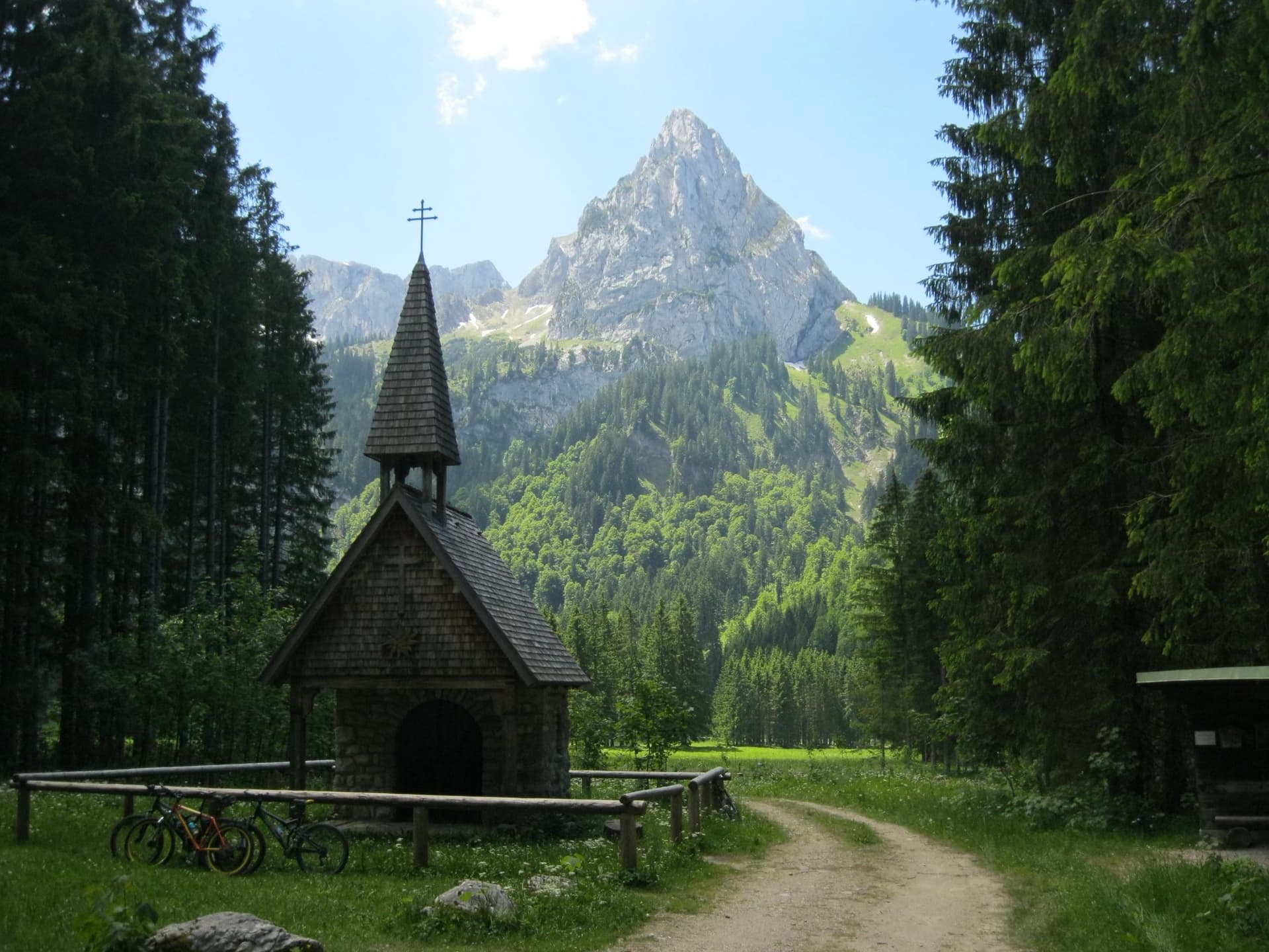
The Geiselstein from the Wankerfleck chapel, where the approach starts; the south face is on the far side

Germany · Ammergauer Alpen

Südverschneidung

The classic way up the Geiselstein, the 'Matterhorn of the Ammergau Alps'. After two scrappy pitches it follows a slabby corner system up the middle of the sunny south face: steep, exposed and on good rock, at about UIAA IV with one polished move of V at the start of the corner. The descent by the normal route needs as much care as the climb.

5a7 pitches260 m

The Geiselstein and Gabelschrofen in the Ammergebirge nature reserve

Germany · Ammergauer Alpen

Balisto

The popular sport line of the Geiselstein south face, straight up to the summit cross. Long, steep pitches on excellent rough limestone, sustained at UIAA 6- to 6 with two short passages of 6+ and one easier pitch on less reliable rock. Never easy and never crowded with bolts: you climb between them.

6a+5 pitches210 m

Read the cautions

A view of the region, not this route's wall. The Hochplatte in the Ammergau Alps seen from the east in early summer; the Schlössel crag is on this side of the massif but cannot be picked out.

Germany · Ammergauer Alpen

Besser leben mit M.

Six sustained pitches up stepped diagonal corners, compact slabs and steep walls on the very rough limestone of the Kenzenkopf, an hour from the Kenzenhütte. The first pitch is the hardest, at UIAA 7 to 7+ with acrobatic moves on holdless slabs; the rest stays between 6 and 7. Sunny until late afternoon and far quieter than the Geiselstein.

6c6 pitches180 m

Around 6c · about 8 pitches

Similar elsewhere

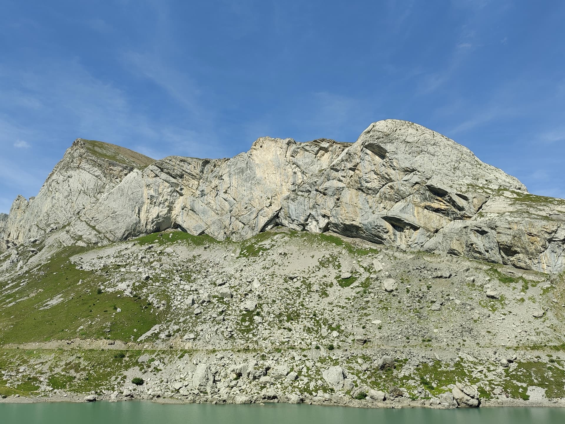
The limestone wall of Les Montons above the Lac de Sénin at the Sanetsch.

Switzerland · Sanetsch

Follomi

The classic introduction to the Sanetsch at 6c: eight varied pitches up a pillar of superb rough limestone, with the hard climbing packed into a few well-bolted metres on each pitch. A steep corner mantel, a balancy wall, a fine slab and an airy exit from a niche. Tops out on grassy slopes with a walk-off.

6c8 pitches250 m

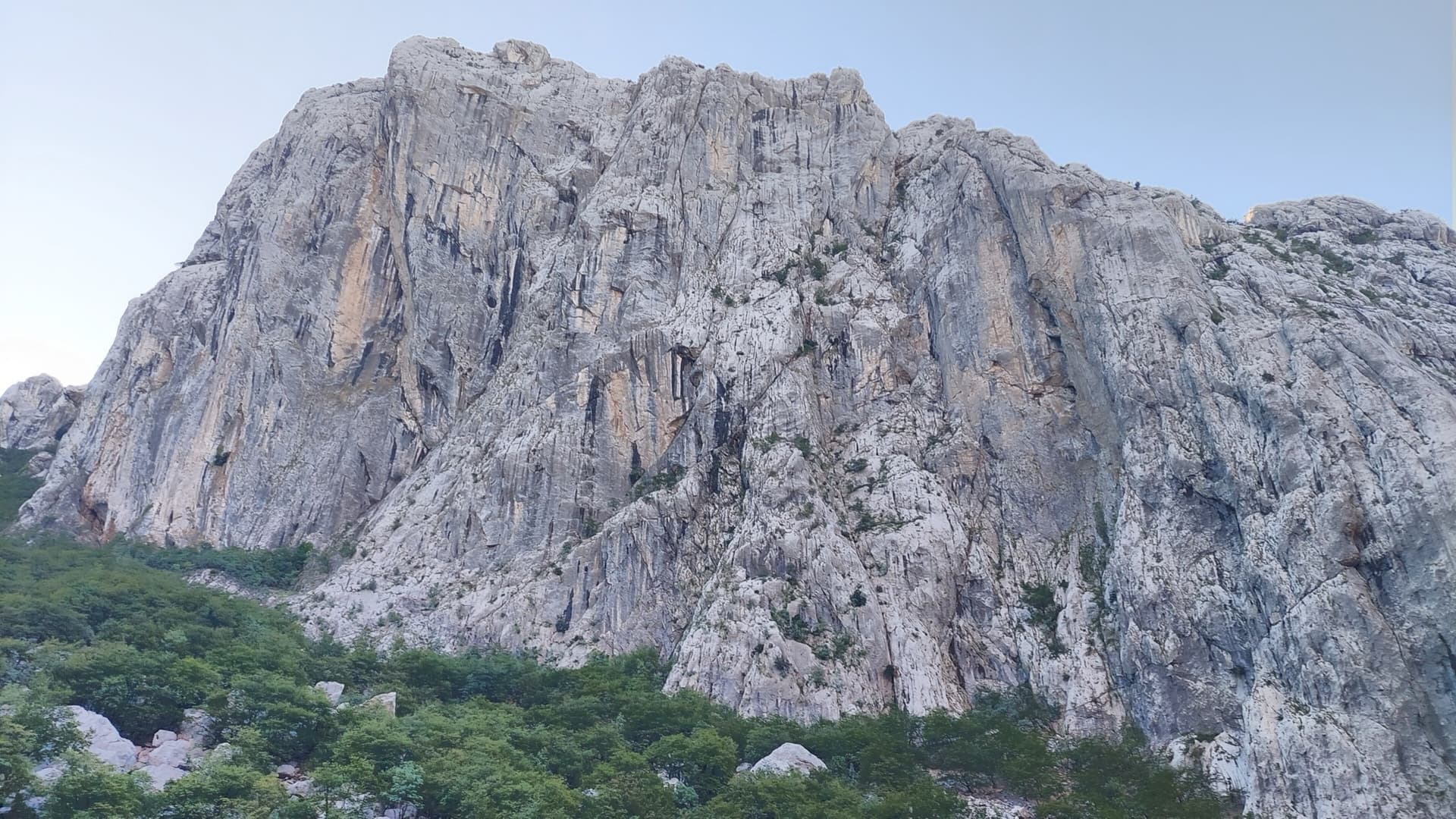
Anića kuk seen from the north-west across the head of the Velika Paklenica canyon, with the north face on its left-hand side; the exact line is not marked.

Croatia · Paklenica

Alive

Seven sustained pitches of 6a to 6c on the shady north face of Anića kuk, then an easy scramble out. A poor first pitch gives way to a steep ramp, a slightly overhanging 6c wall, an off-width and a fine finishing slab. The rock improves with every pitch.

6c8 pitches220 m

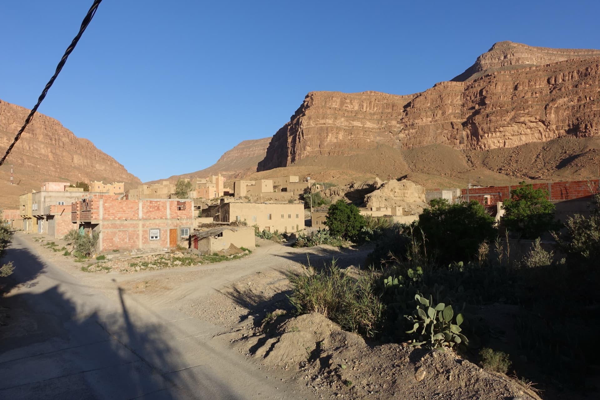
Aït Slimane and the south-east facing wall above the village, where Amellago's long bolted routes are

Morocco · Amellago

Le Berbère Ardéchois

The first long route on the big south-east wall above the village: eight pitches on rough red limestone, with a hard crux on the fourth pitch that goes free at 6c or with aid on the bolts at 6a obligatory. The last pitch is 50 m of even 5c. Pitch grades are not published; the topo lives with Mimoun at the gîte.

6c8 pitches250 m

A view of the region, not this route's wall. The painted stone that marks the start of Strada del Sole at the foot of the Nösslachwand

Austria · Ötztal

Linas Traumreise

Steep, exposed gneiss left of the Reinhard Schiestl via ferrata, finding a way between huge roofs. The cruxes are the steep slabs of pitches 5 and 6 (6c). Stiffly graded, and the abseil descent is not for everyone.

6c8 pitches195 m

Compiled from published sources and last verified October 2026. Bolts, anchors and access change. Climbing is dangerous and you are responsible for your own decisions: check a current topo and read the disclaimer.