Multipitch Atlas

L'échelle de Jacob

Pointe Blanche – south pillar (Col de la Colombière) · Aravis · France

Bail not documentedBolting confidence: high

A fine modern line up the pillar that props up the Pointe Blanche, at 2200 m above the Col de la Colombière. Sustained 6a+ to 6b with one violent bulge of 6c+ at the start of pitch 3, then two pitches of perfect runnels, a short down-climb and two more steep 6a+ pitches. The approach and descent are alpine in feel.

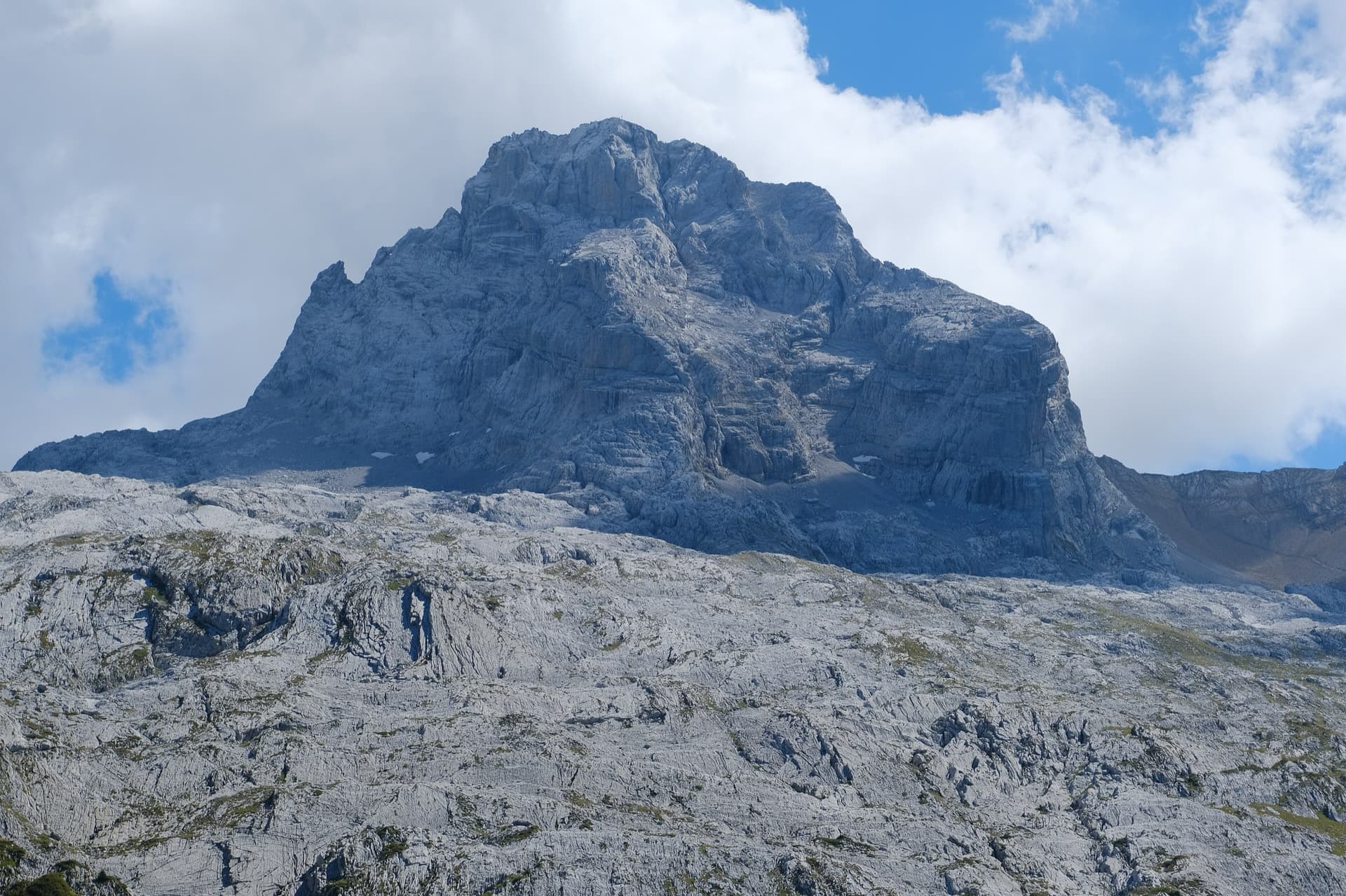
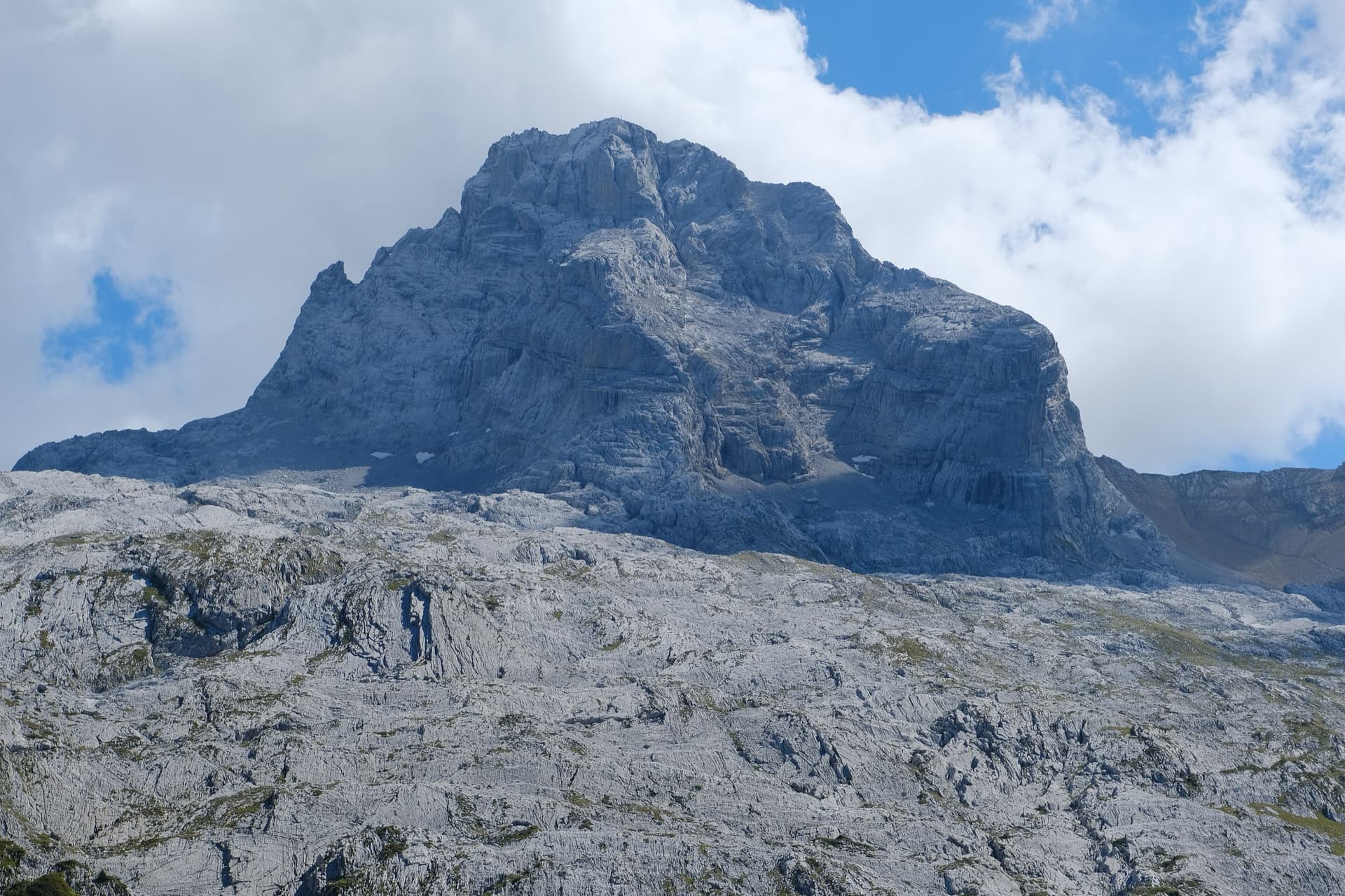
A view of the region, not this route's wall. The Pointe Percée above the limestone pavement of the Gramusset plateau, seen from the north-west; Le sirop pour machin starts from the crags near the hut and finishes on the summit, the exact line is not marked.Photo: Guilhem Vellut · CC BY 2.0

Photo

A view of the region, not this route's wall. The Pointe Percée above the limestone pavement of the Gramusset plateau, seen from the north-west; Le sirop pour machin starts from the crags near the hut and finishes on the summit, the exact line is not marked.Photo: Guilhem Vellut · CC BY 2.0
Hardest pitch
6c+
Pitches
8
Length
250 m
Approach
90 min
Aspect
S
South-facing
Rope
–

The route

Overview

L'échelle de Jacob is the hardest of the new Aravis additions here and the highest, finishing a short walk from the 2438 m summit of the Pointe Blanche. The first three pitches are the business: a sustained slab on small, sometimes fragile edges, an athletic pillar with an awkward traverse, and the crux bulge followed by a chimney. Every party quoted pulled on a draw or two at the bulge, which is closely bolted. Above, two easier pitches on superb runnelled rock lead to a short descent of a pitch of the old Amy route, then two more steep 6a+ pitches. The grades are considered stiff.
The climbing

Pitch by pitch

Pitches of L'échelle de Jacob
PitchGradeNotes
P16a+'Nathalie's slab': sustained and steeper than it looks, not easy to read, with flakes and edges that sound hollow and need gentle handling.
P26bA fairly athletic start up a steep little pillar on good holds, then an awkward but well-protected traversing move onto a ramp below the belay. One party grades it 6b+. Manage the rope drag.
P36c+'Bruno's overhang': a violent bulge straight off the belay, well bolted and easy to aid, then a chimney that is not so easy either. At the top of the chimney traverse well right to a belay on a promontory in a fine position.
P45b+A very attractive pillar on excellent rock.
P54cRunnels: easy, on magnificent rock.
P65aClimb down one pitch of the Amy route, protected by a mix of pegs and a bolt. Short and unusual.
P76a+'Guillaume's runnel': a fine slab and steep wall, then a physical rising traverse that depends on one key hold.
P86a+A hard move to start, then a few steps to the top.

Getting there

Approach

To the parking

The Jallouvre routes start from a small quarry car park two hairpins below the Col de la Colombière on its Le Grand-Bornand (Le Chinaillon) side; it is more convenient than the car park at the col, which is often full in summer. A shuttle runs from Le Grand-Bornand to Le Chinaillon, from where a path or the road climbs to the col. The col road is closed in winter. For this route you can also start from the car park of the Jallouvre via ferrata, which adds a little height but is just as direct.

On foot · about 90 min

About 1 h 30 min and 550 m of ascent. From the Col de la Colombière take the path to the Col du Rasoir. Shortly after the junction with the path coming back from the Jallouvre via ferrata, go right up the crest of a grassy hump (traces). From its top descend a few metres to the scree below the south face of the Pointe Blanche; spare kit can be left here and collected on the way down. Climb the scree and, almost at its top, go left along a ramp of grass and stones at the foot of the cliff. The start is almost at the highest point of the ramp, with the name in discreet, faded blue paint. A 2025 party adds: ignore a three-bolt start at the beginning of the ramp, keep along the cliff past a resurgence, and the bolts then come into view.

Map of the walk-in

  • Crag
  • Parking

Loading map

The point marks the crag, not the exact start of the route.

Coordinates · crag

45.99895, 6.46012

Parking

45.99222, 6.47556

Col de la Colombière (camptocamp waypoint 135395); the quarry car park used for the routes is two hairpins below on the Grand-Bornand side

Point from camptocamp waypoint 37849 (Pointe Blanche summit); the route is on the south pillar below it

For your phone or watch

Download GPX

Contains the route point and parking. Opens in most mapping apps and GPS watches.

Points are compiled from published sources, with the precision stated above. They were not surveyed on the ground: check them against a current topo.

Getting down

Descent

Two options, both alpine in character. Either continue from the last belay to the summit and go down the normal route to the Col du Rasoir and the return path; or, 20 m above the last belay, go down left into a small notch and traverse to the right along the rocks, first down and then slightly up, to join the normal route's path. The second is much quicker, but the slopes are steep and above cliffs. Parties report 1 h 30 min to 2 h back to the car.

Retreat

Bailing off the route

Bail not documented

No source describes abseiling the route or retreating from it. Reports say nearly every belay has a chain, which suggests abseiling the first five pitches is feasible, but this is not confirmed and rope lengths are not published. Above the down-climbed pitch 6 the top is two pitches away and the walk-off is the logical exit.

Retreat from
Not documented; chained belays on pitches 1 to 5 (inferred).
Point of no return
Probably the down-climb of pitch 6, after which retreat would mean reversing it (inferred).
Carry
Two ropes, maillons for the one unchained belay.
Basis
Inferred from the route factsBased only on 2025 and 2026 reports that the belays are chained.

Partly inferred from the route facts

Safety

Hazards

  • Fragile flakes and edges on pitch 1, still in place in 2026.
  • A few hangers were spinning on pitch 3 in 2025; take a spanner if you have one.
  • The descent crosses steep grass above cliffs and is serious in the wet or in poor visibility.
  • Finding the start: a 2024 party lost hours by going up the wrong combe after trusting a map point; follow the Col du Rasoir path until the pillar is obvious.
  • Pitch 6 is a down-climb on pegs and one bolt: protect the second.

Sun and weather

Conditions

South facing between about 2200 and 2438 m. Even in heatwaves parties found it pleasant thanks to a constant breeze, and one needed long sleeves under cloud; in early October it was about 5°C in fog. After heavy rain resurgences run on the face, but only the crux bulge was affected for an August 2026 party. Storms build quickly on this chain.

Usual season · Jun to Oct

Sun on the wall · S-facing

Working out the sunlit hours for this month.

  • January: not yet worked out
  • February: not yet worked out
  • March: not yet worked out
  • April: not yet worked out
  • May: not yet worked out
  • June (usual season): not yet worked out
  • July (usual season): not yet worked out
  • August (usual season): not yet worked out
  • September (usual season): not yet worked out
  • October (usual season): not yet worked out
  • November: not yet worked out
  • December: not yet worked out

Sun on the wallDaylight, wall in shade● Usual season

Estimated from the wall's aspect only. Ignores surrounding terrain, gullies and the wall's exact shape. Clock times are local to the wall (Central European time), for the 15th of each month.

Monthly climate averages for Aravis, 1991-2020
MeasureJanFebMarAprMayJun (usual season)Jul (usual season)Aug (usual season)Sep (usual season)Oct (usual season)NovDec
Mean daily high °C−7−5−21610131395−2−6
Mean daily low °C−16−15−12−8−4133−1−5−11−15
Rain days 1 mm or more131113151918171614131413

● marks the usual climbing season. Averages for 1991-2020 at about 2371 m. Area climate from Open-Meteo reanalysis. Temperatures are adjusted to the height of the crag; rain comes from a grid cell of about 10 to 25 km, and summer highs on sea cliffs can read a few degrees low. The wall and valley can differ. Data: Open-Meteo, CC BY 4.0.

What to carry

Gear

The sources give no quickdraw count or rope length; the descent is on foot. A sling to pull on at the crux. Helmet. Approach shoes that cope with steep grass and scree.

Checklist

Quickdraws
Number not given in the sources
Rope
Length not given in the sources
Helmet
One each
Maillons or spare karabiners
To leave behind if you retreat

Derived from the route data; check it against a current topo

From climbers

Reader reports

Reader reports are not being collected yet. Until they are, check a current topo and the local club or guidebook publisher for recent changes to L'échelle de Jacob.

Worth knowing

Tips

  • Allow 3 h 30 min for the route, 1 h 15 min to 1 h 30 min for the approach.
  • The obligatory grade is 6a+; a party climbing 6b will need to aid the crux and work hard on the first two pitches.
  • Going over the summit of the Pointe Blanche is worth the extra time in clear weather.

Open questions

Where sources disagree

  • This record rests on camptocamp alone (route text and six trip reports from 2024 to 2026); no second site describing the route was found.
  • The crux is given as 6c(+) in the pitch list and 6c+ in the route's overall grade; parties call it 'rather 6c+' and a hard boulder move.
  • Pitch 2 is 6b in the route text and 6b+ in a 2024 report.
  • Chains: an August 2026 report says every belay but the second to last has a chain; a 2025 report says almost all do.
  • No source describes abseiling the route, and none gives rope length or quickdraw numbers.

Provenance

Sources

Same area

More in Aravis

All routes in Aravis
The Pointe Percée above the limestone pavement of the Gramusset plateau, seen from the north-west; Le sirop pour machin starts from the crags near the hut and finishes on the summit, the exact line is not marked.

France · Aravis

Le sirop pour machin

An introduction to mountain multipitch that tops out right under the summit cross of the highest Aravis peak. Grippy fluted limestone is linked by cairned walking sections, and the last pitches are the best.

5b+11 pitches400 m

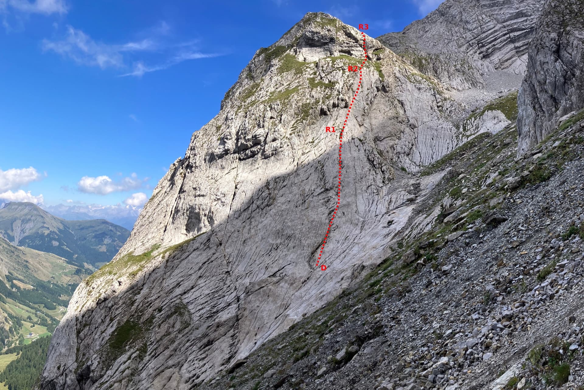
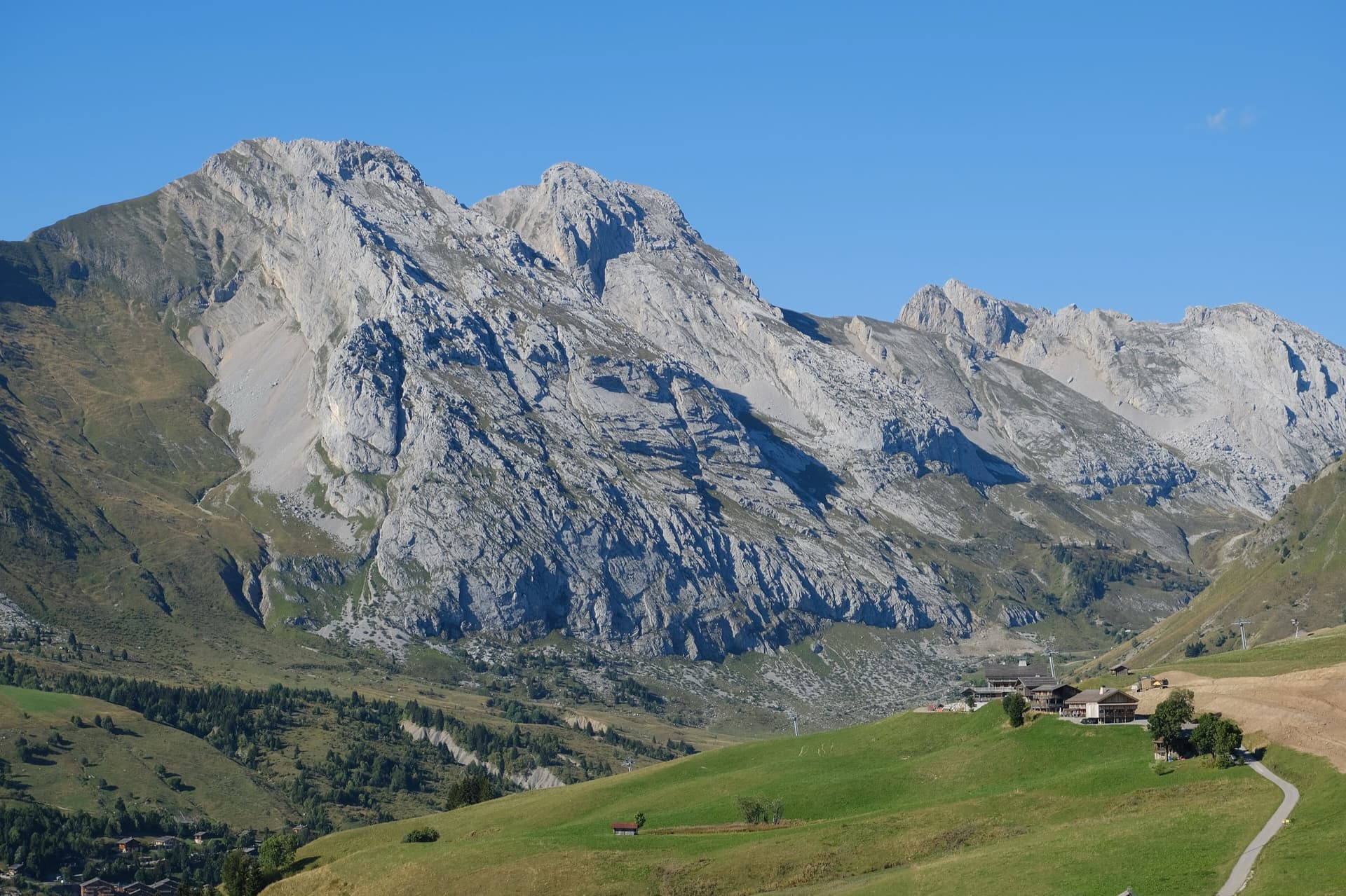
The south face of the Pic de Jallouvre (left summit) and the Pointe Blanche above the chalets of Le Grand-Bornand, on the road to the Col de la Colombière; the Voie des Cristaux climbs the right-hand side of the Jallouvre face.

France · Aravis

Voie des Cristaux

Sixteen pitches of easy slabs and water-worn runnels above the Col de la Colombière, on the border between scrambling, climbing and mountaineering. Nothing is harder than 4b and most of it is grade 3, on sculpted, grippy limestone among ibex and edelweiss. Many parties carry on up the Arête des Bouquetins to the summit for a very long day.

4b16 pitches400 m

The north-west face of the Pointe Percée rising above the limestone pavement of the Gramusset plateau, seen from the Col des Annes side; Heididoune climbs this face to the summit, the exact line is not marked.

France · Aravis

Heididoune

A ten-pitch line to the summit of the Pointe Percée, the high point of the Aravis, following green hangers up the cool north-west face. Seven long pitches, mostly easy with a 6a+ wall, reach the notch of the Arête du Doigt; three independent pitches finish it, including a memorable slab traverse of 6b+ that can be aided on the bolts.

6b+10 pitches400 m

Read the cautions

The first three pitches of the Arête à Marion drawn on the slab at the foot of the ridge, with the belays marked

France · Aravis

Arête à Marion

The classic easy ridge of the Aravis: three bolted slab and chimney pitches, then a long, airy limestone crest with Mont Blanc in view all the way. Most of it is grade 3 and is often climbed moving together. The steep scree of the approach and descent is the hard part of the day.

4c13 pitches300 m

Read the cautions

Around 6c+ · about 8 pitches

Similar elsewhere

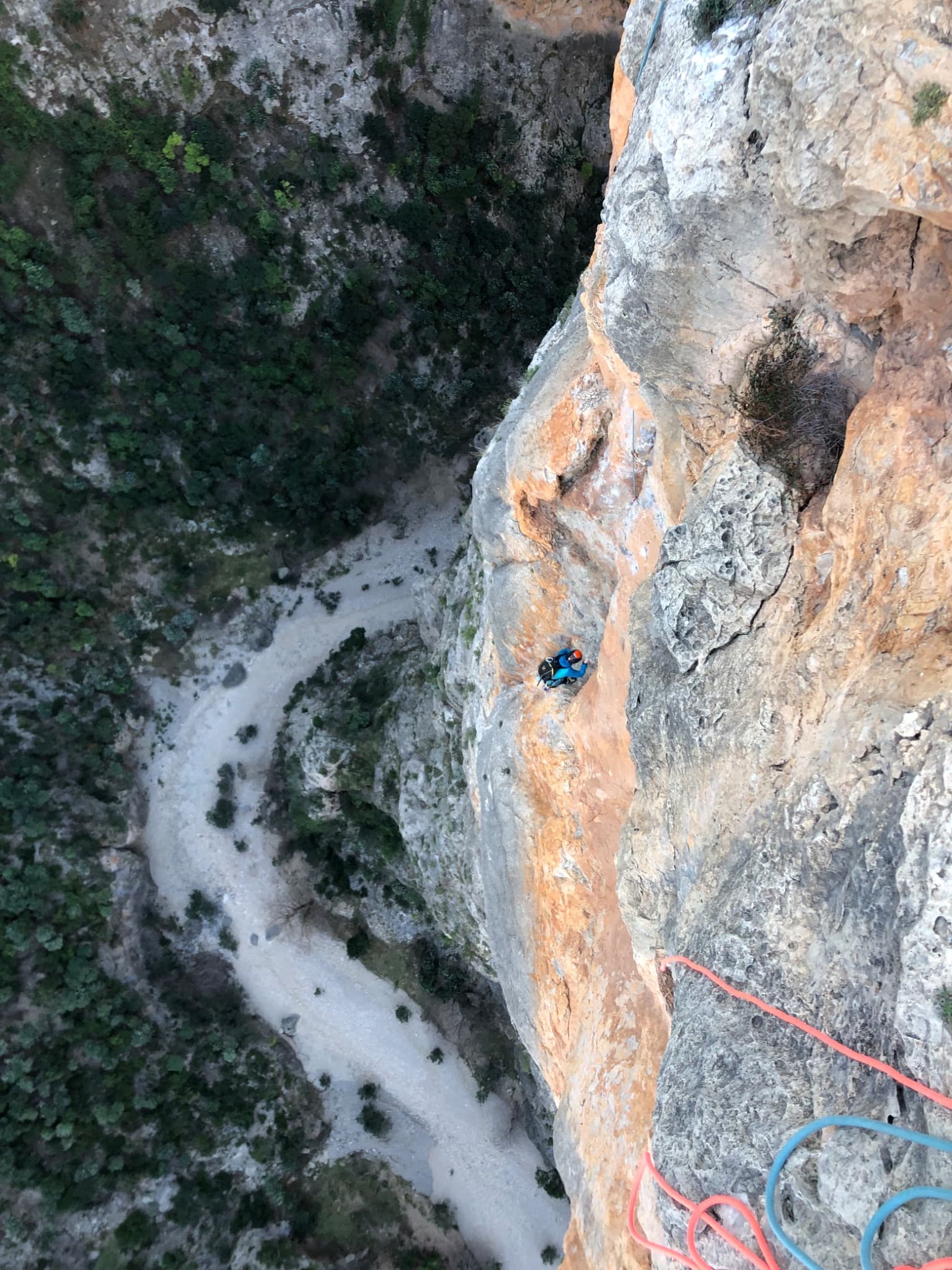
Looking down the Espolón de los Agujeros to the bed of the Barranco de la Maimona, photographed from the neighbouring route La Luna. Obsesión climbs the same pillar; its line is not marked.

Spain · Montanejos

Obsesión

Eight varied pitches on the pocketed pillar next to La Luna: pocketed slabs, bulges, a red corner that is the best pitch, and two short hard sections at 6c and 6c+ that can both be eased with a pull on the bolts. Opened in 1983 and rebolted in 2006. Some loose rock, especially on pitch 6.

6c+8 pitches245 m

Read the cautions

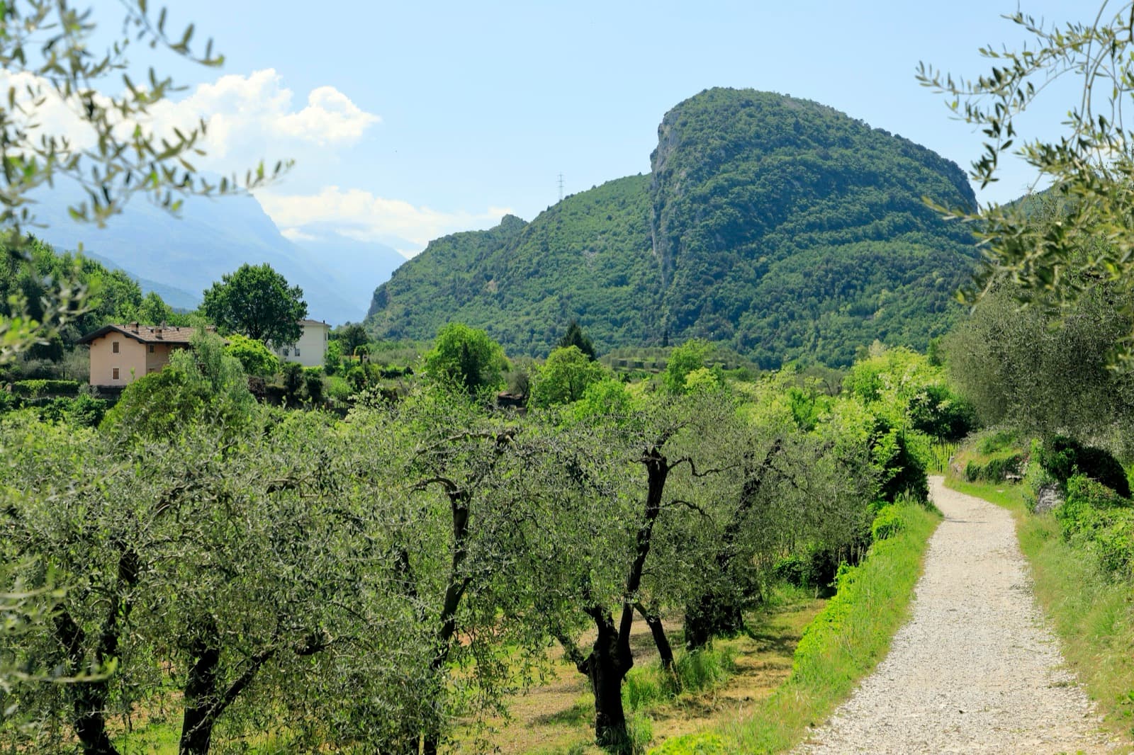
Monte Colt (Croce Colt) seen across olive groves from the west bank of the Sarca north of Arco; a band of steep limestone shows on its east-facing flank, the side the Parete San Paolo routes are on.

Italy · Arco & Valle del Sarca

Via Roberto

Eight sustained pitches up the wall opposite the Laterna restaurant, rarely easier than 6a. The crux is a short overhanging wall on pitch 5 that can be pulled through on the bolts. Less cleaned than its neighbours, with some broken rock on pitch 6.

6c+8 pitches220 m

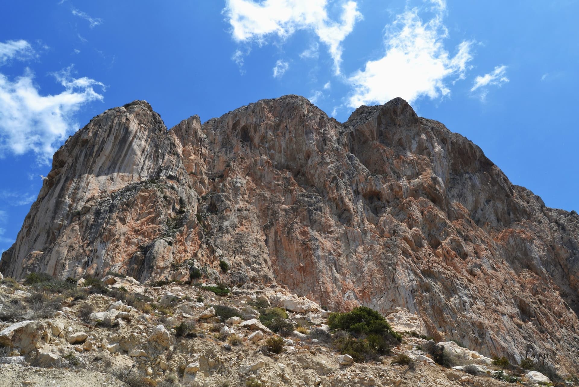
The south face of the Peñón de Ifach from the path below the cliffs, Calpe: 300 m of orange and grey limestone. Costa Blanca climbs this wall.

Spain · Costa Blanca (Peñón de Ifach)

Costa Blanca

The sport classic of the Peñón: a thin slab, a corner crack that steepens into an overhang, a pillar, then a wild exit from a big cave 200 m above the sea. Sustained at 6b with a 6c fifth pitch on polished slopers and a 6c+ last pitch whose crux can be pulled through on a bolt.

6c+7 pitches220 m

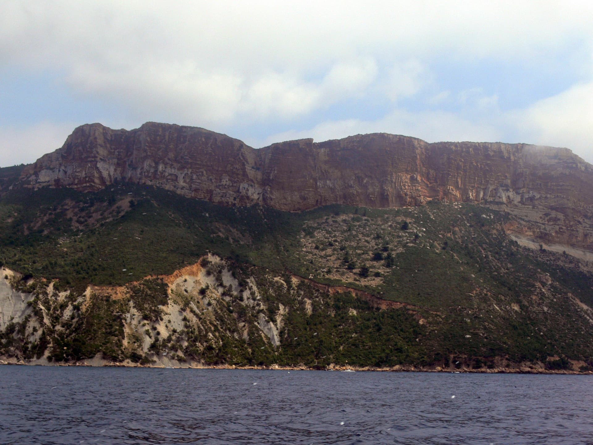
The cliffs of Cap Canaille seen from the sea, Cassis end; the Sémaphore sector is further south-east on the same line of cliffs

France · Calanques

Sables émouvants

Seven short, steep pitches up the ochre sea cliff of Cap Canaille, through three kinds of rock: overhanging jugs low down, a leftward traverse on huge fragile holds into a cave, a big roof and a thin wall of sandstone, then vertical conglomerate where you choose your cobble. Homogeneous at 6b to 6b+ with one harder move leaving the roof. The lower two pitches are sandy and friable.

6c+7 pitches150 m

Read the cautionsCommitting

Compiled from published sources and last verified October 2026. Bolts, anchors and access change. Climbing is dangerous and you are responsible for your own decisions: check a current topo and read the disclaimer.