Multipitch Atlas

Arête à Marion

Pointes de la Blonnière (Col des Aravis) · Aravis · France

Read the cautionsBail with caveatsBolting confidence: medium

The classic easy ridge of the Aravis: three bolted slab and chimney pitches, then a long, airy limestone crest with Mont Blanc in view all the way. Most of it is grade 3 and is often climbed moving together. The steep scree of the approach and descent is the hard part of the day.

The first three pitches of the Arête à Marion drawn on the slab at the foot of the ridge, with the belays markedPhoto: Arnaud Mouiche · CC BY-SA 3.0

Topo

The first three pitches of the Arête à Marion drawn on the slab at the foot of the ridge, with the belays markedPhoto: Arnaud Mouiche · CC BY-SA 3.0
Hardest pitch
4c
Pitches
13
Length
300 m
Approach
90 min
Aspect
NE
North-east-facing
Rope
1×40 m
Read before you go

Bolted belays and a well-bolted start, but the easy ridge has bolts 10 to 20 m apart and the scree descent is loose and exposed to stonefall.

The route

Overview

The Arête à Marion climbs to the north summit of the Pointes de la Blonnière (2369 m) above the Col des Aravis. It starts with two pitches of runnelled slab and a short chimney that is the technical crux, bolted so closely that it can be pulled through. After a walk across grass the real ridge begins: ten easy pitches along the crest, with one move of 4c at the very end that can be avoided by a ledge. It is a mountain outing rather than a crag route: a steep 600 m approach, a loose descent and snow in the combe early in the season. On the easy ridge the bolts are far apart, which is why this record carries a caution.
The climbing

Pitch by pitch

Pitches of Arête à Marion
PitchGradeNotes
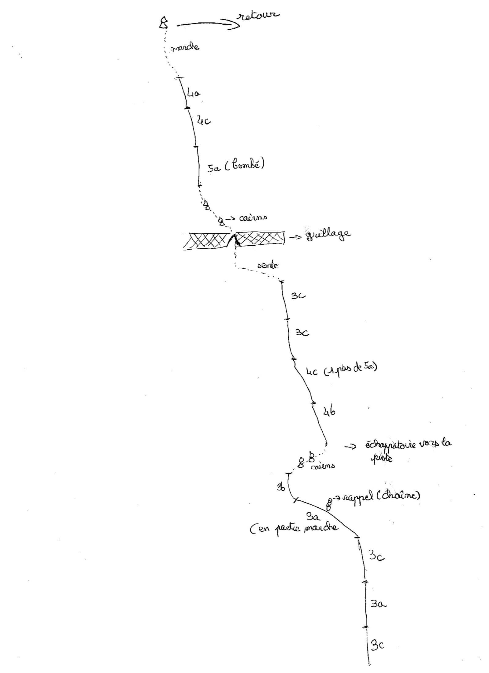
P13bSlab with big runnels on very good rock.
P24aStart slightly right.
P34cA chimney: the hard section is under 3 m long with a bolt every metre, so it goes at 4a/A0. Above, walk up grass and a few unbolted slabs to the foot of the ridge, where an escape to the right is possible.
P43aThe ridge proper starts here; follow the crest and the hangers.
P53aEasy, exposed crest.
P64aLeave on the left side of the ridge.
P74aAlong the crest.
P82cEasy ground with bolts far apart; often climbed moving together.
P92cAs above.
P103aAlong the crest. An escape to the right is possible around the tenth or eleventh belay.
P113bAlong the crest.
P124aA pleasant slab with good holds.
P134cOne move. The pitch can be avoided by a ledge on the right.

Getting there

Approach

To the parking

Start from the Col des Aravis (1486 m), on the road between La Clusaz and Flumet, where there is a large car park. By public transport, take the Annecy to Thônes and La Clusaz bus, then the seasonal shuttle from La Clusaz to the col (summer and winter).

On foot · about 90 min

About 1 h 30 min and 600 m of ascent. From the col walk to the farm 300 m to the south-west (La Grande Montagne, 1500 m), go round it and follow the 4×4 track behind it. It ends after 400 m; turn right 10 to 20 m before its end onto an obvious path through alder scrub, then up the bed of the stream that comes down from the Combe à Marion. Higher up a path crosses the combe: go right, more gently over a grassy shoulder, or straight up more steeply. Climb the path in the scree aiming to the right of the big vertical wall. The route starts on a slab behind that face, at a two-bolt belay below an easy-angled, runnelled slab. A photo caption on camptocamp warns not to rush onto the first slabs you meet, which are slippery: go round them.

Map of the walk-in

  • Crag
  • Parking

Loading map

The point marks the crag, not the exact start of the route.

Coordinates · crag

45.85833, 6.45306

Parking

45.88468, 6.46472

Col des Aravis (camptocamp waypoint 129059)

Point from camptocamp waypoint 37365 (Pointes de la Blonnière, north summit)

For your phone or watch

Download GPX

Contains the route point and parking. Opens in most mapping apps and GPS watches.

Points are compiled from published sources, with the precision stated above. They were not surveyed on the ground: check them against a current topo.

Getting down

Descent

From the summit go down the slope on the right (north-west, cairns) towards a large knoll and pass it on the right, staying close to the wall. Then go left below the knoll into a narrow gully blocked by chockstones that form polished steps; climb down them carefully or make a short abseil from a station with a visible maillon. The gully ends at the col between the Dent du Chatelet and the Pointe de la Blonnière. Descend the scree combe by an obvious track, which is steep and very unstable, back to the start of the route and the approach path. Parties report 45 min to 2 h for the descent.

Retreat

Bailing off the route

Bail with caveats

Camptocamp names two escapes on foot to the right: at the top of the grass after pitch 3 and around the tenth or eleventh belay. No source describes abseiling the ridge, and with a 40 m single rope you could only abseil 20 m at a time. Between the escapes the practical choice is to keep going or reverse easy ground.

Retreat from
After pitch 3 (grass terrace) and near belay 10 or 11, both to the right on foot.
Point of no return
None stated; the middle of the ridge between the two escapes is the most committed part.
Carry
Nothing beyond the normal kit; confidence on steep grass and scree.
Basis
Stated in the sourcesEscapes are listed in the camptocamp remarks in French and English; their terrain is not described in detail.

Safety

Hazards

  • Spaced bolts on the ridge: 10 to 20 m between bolts on the grade 2 to 3 sections, and a September 2026 party noted grade 3 ground with no bolt for more than 20 m. Sling spikes.
  • Stonefall in the scree combe. In July 2026 a party arriving at the start was nearly hit by rocks dislodged by people running down the scree above; put your helmet on as soon as you reach the scree and descend on the track beside the left wall.
  • The descent gully has polished down-climbing; the descent is hard to follow in mist.
  • Very popular: queues at the start and slow parties on the ridge affect your timing.
  • Snow in the combe early in the season.

Sun and weather

Conditions

North and north-east facing between 2080 and 2369 m. Snow lingers in the combe and on the descent side early in the season; one 2026 party thinks it is at its best in autumn. The limestone is good, a little polished, and less good in the last quarter. It is a ridge with few quick ways off, so avoid a stormy forecast.

Usual season · Jul to Oct

Sun on the wall · NE-facing

Working out the sunlit hours for this month.

  • January: not yet worked out
  • February: not yet worked out
  • March: not yet worked out
  • April: not yet worked out
  • May: not yet worked out
  • June: not yet worked out
  • July (usual season): not yet worked out
  • August (usual season): not yet worked out
  • September (usual season): not yet worked out
  • October (usual season): not yet worked out
  • November: not yet worked out
  • December: not yet worked out

Sun on the wallDaylight, wall in shade● Usual season

Estimated from the wall's aspect only. Ignores surrounding terrain, gullies and the wall's exact shape. Clock times are local to the wall (Central European time), for the 15th of each month.

Monthly climate averages for Aravis, 1991-2020
MeasureJanFebMarAprMayJunJul (usual season)Aug (usual season)Sep (usual season)Oct (usual season)NovDec
Mean daily high °C−7−5−21610131395−2−6
Mean daily low °C−16−15−12−8−4133−1−5−11−15
Rain days 1 mm or more131113151918171614131413

● marks the usual climbing season. Averages for 1991-2020 at about 2371 m. Area climate from Open-Meteo reanalysis. Temperatures are adjusted to the height of the crag; rain comes from a grid cell of about 10 to 25 km, and summer highs on sea cliffs can read a few degrees low. The wall and valley can differ. Data: Open-Meteo, CC BY 4.0.

What to carry

Gear

10 quickdraws and a few slings for the many spikes between bolts on the ridge. Rope: 40 m if you pitch it between the bolted belays, 20 m if you move together. Mountain Project suggests a dozen draws, more if simul-climbing, and long slings. The route goes in mountain boots; take shoes that cope with scree. Crampons and an ice axe can be needed for the combe early in the season. Helmet from the scree onwards.

Checklist

Quickdraws
10
Rope
1×40 m
Helmet
One each
Abseil device and prusik
The descent or the retreat involves abseiling

Derived from the route data; check it against a current topo

From climbers

Reader reports

Reader reports are not being collected yet. Until they are, check a current topo and the local club or guidebook publisher for recent changes to Arête à Marion.

Worth knowing

Tips

  • Allow 2 h 30 min to 3 h for the route moving together, 4 h or more if you pitch everything; 5 to 6 h car to car is a fast time.
  • Rock shoes are pleasant for the first three pitches; the rest is comfortable in boots.
  • Escapes on foot exist to the right after pitch 3 and near the tenth or eleventh belay.

Open questions

Where sources disagree

  • Pitch count and length: camptocamp and theCrag give 13 pitches and 300 m of height; Mountain Project counts 14 pitches (including the walk) and 485 m of climbing.
  • Bolt spacing: camptocamp says 10 to 20 m between bolts on the ridge and Mountain Project calls the easy pitches 'a bit run out', while one August 2026 report calls the equipment 'very, very close'. The close bolting applies to the first three pitches and the grade 4 moves.
  • Approach time: 1 h 30 min on camptocamp, about 1 h on Mountain Project; 2026 parties took 1 h to 1 h 30 min.
  • Descent: the French camptocamp text describes a gully with an optional abseil from a maillon station; the English text describes down-climbing past two pairs of bolts; Mountain Project describes a 25 to 30 m abseil.
  • Glacier gear: camptocamp flags crampons in spring; the summer route needs none.

Provenance

Sources

Same area

More in Aravis

All routes in Aravis
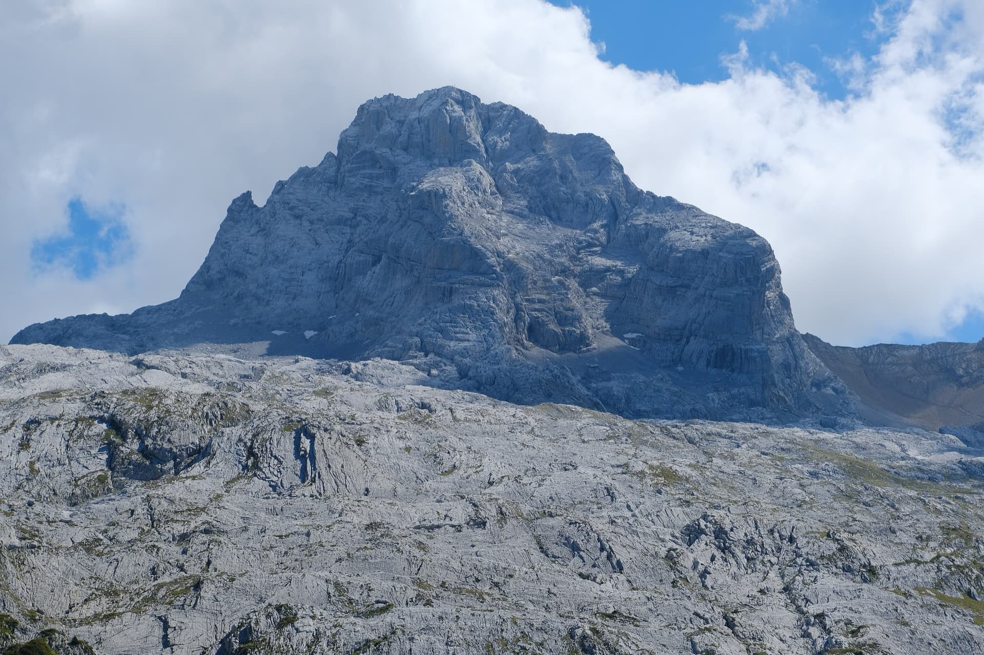
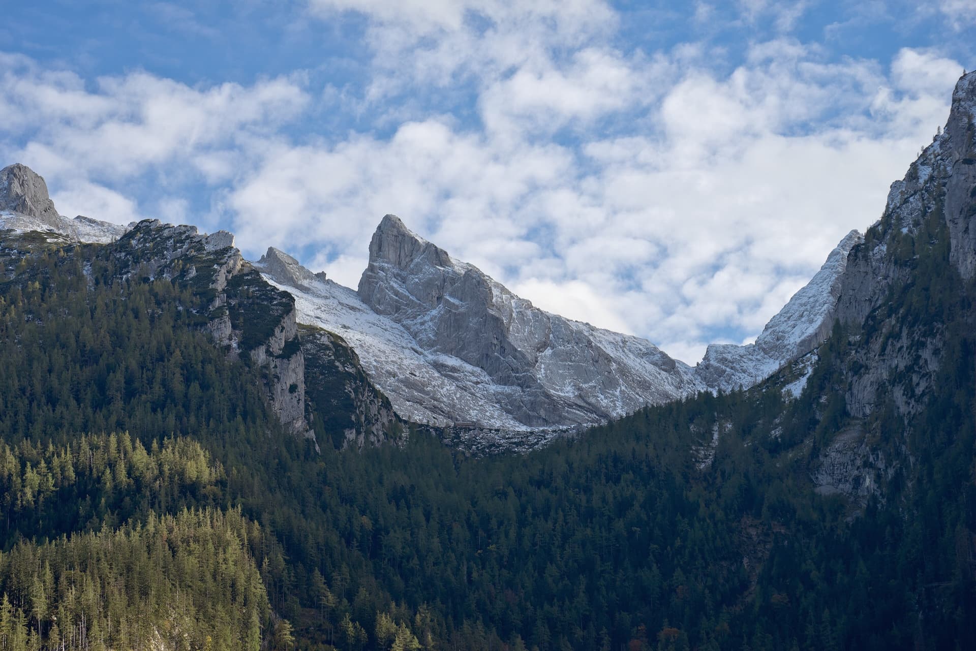
The Pointe Percée above the limestone pavement of the Gramusset plateau, seen from the north-west; Le sirop pour machin starts from the crags near the hut and finishes on the summit, the exact line is not marked.

France · Aravis

Le sirop pour machin

An introduction to mountain multipitch that tops out right under the summit cross of the highest Aravis peak. Grippy fluted limestone is linked by cairned walking sections, and the last pitches are the best.

5b+11 pitches400 m

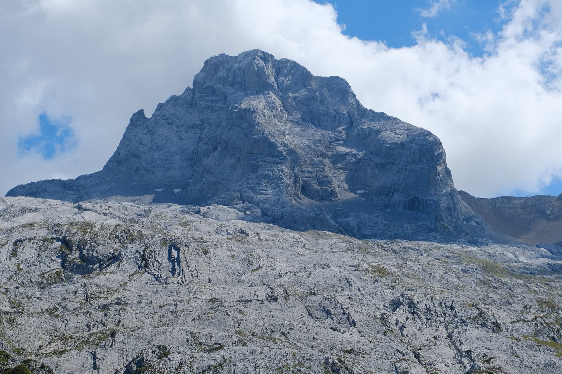
The south face of the Pic de Jallouvre (left summit) and the Pointe Blanche above the chalets of Le Grand-Bornand, on the road to the Col de la Colombière; the Voie des Cristaux climbs the right-hand side of the Jallouvre face.

France · Aravis

Voie des Cristaux

Sixteen pitches of easy slabs and water-worn runnels above the Col de la Colombière, on the border between scrambling, climbing and mountaineering. Nothing is harder than 4b and most of it is grade 3, on sculpted, grippy limestone among ibex and edelweiss. Many parties carry on up the Arête des Bouquetins to the summit for a very long day.

4b16 pitches400 m

The north-west face of the Pointe Percée rising above the limestone pavement of the Gramusset plateau, seen from the Col des Annes side; Heididoune climbs this face to the summit, the exact line is not marked.

France · Aravis

Heididoune

A ten-pitch line to the summit of the Pointe Percée, the high point of the Aravis, following green hangers up the cool north-west face. Seven long pitches, mostly easy with a 6a+ wall, reach the notch of the Arête du Doigt; three independent pitches finish it, including a memorable slab traverse of 6b+ that can be aided on the bolts.

6b+10 pitches400 m

Read the cautions

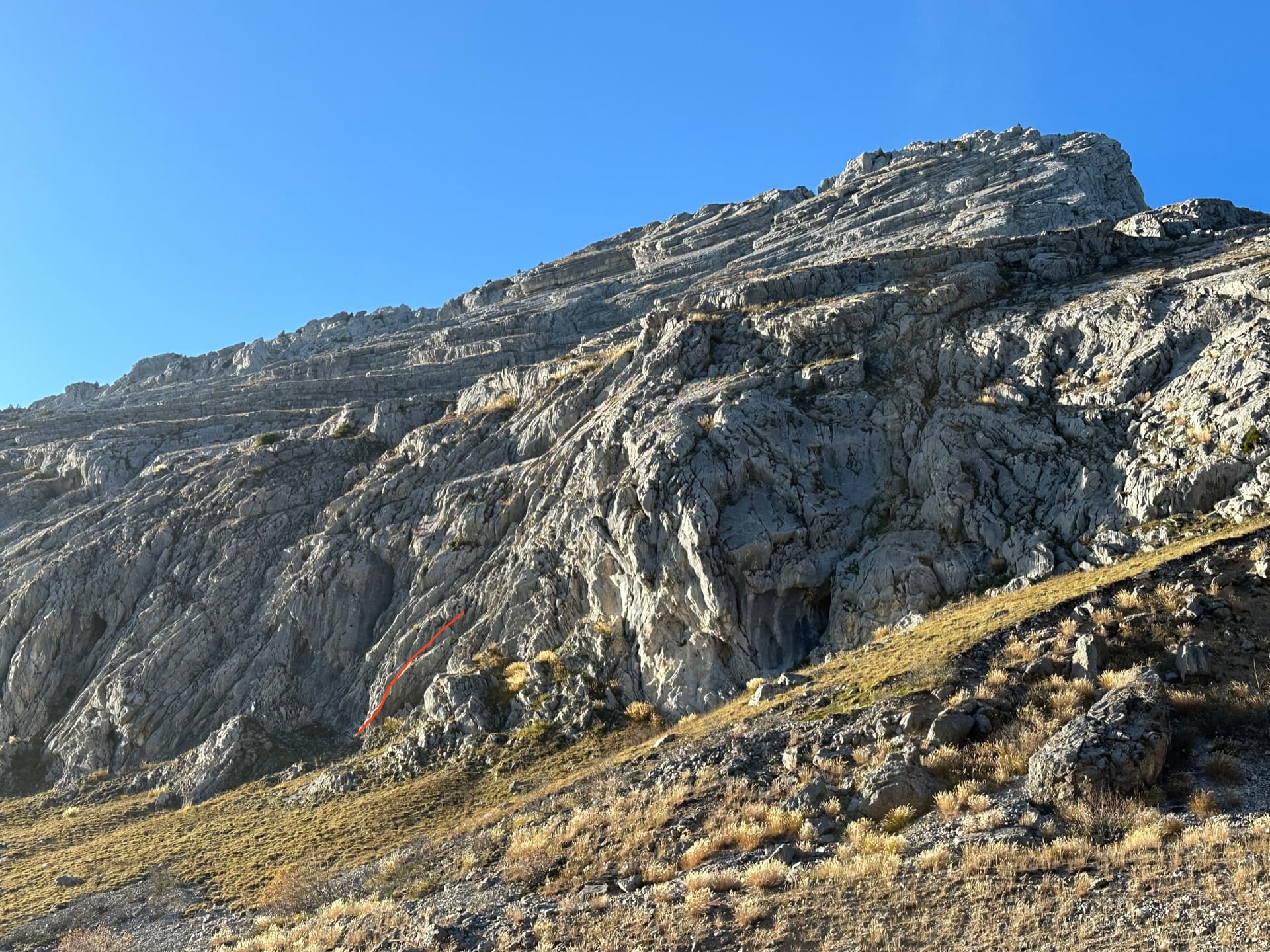
The lower slabs of the Pic de Jallouvre above the quarry car park, with the start of Les Miss marked in red

France · Aravis

Les Miss

A long, gentle climb up the slabs and runnels of the Jallouvre's south-east flank, like the neighbouring Voie des Cristaux but with more real climbing. Fifteen short-lived pitches are broken by three or four walking links; the moves of grade 5 are brief and well protected. A good place to practise multipitch routines.

5c15 pitches400 m

Around 4c · about 13 pitches

Similar elsewhere

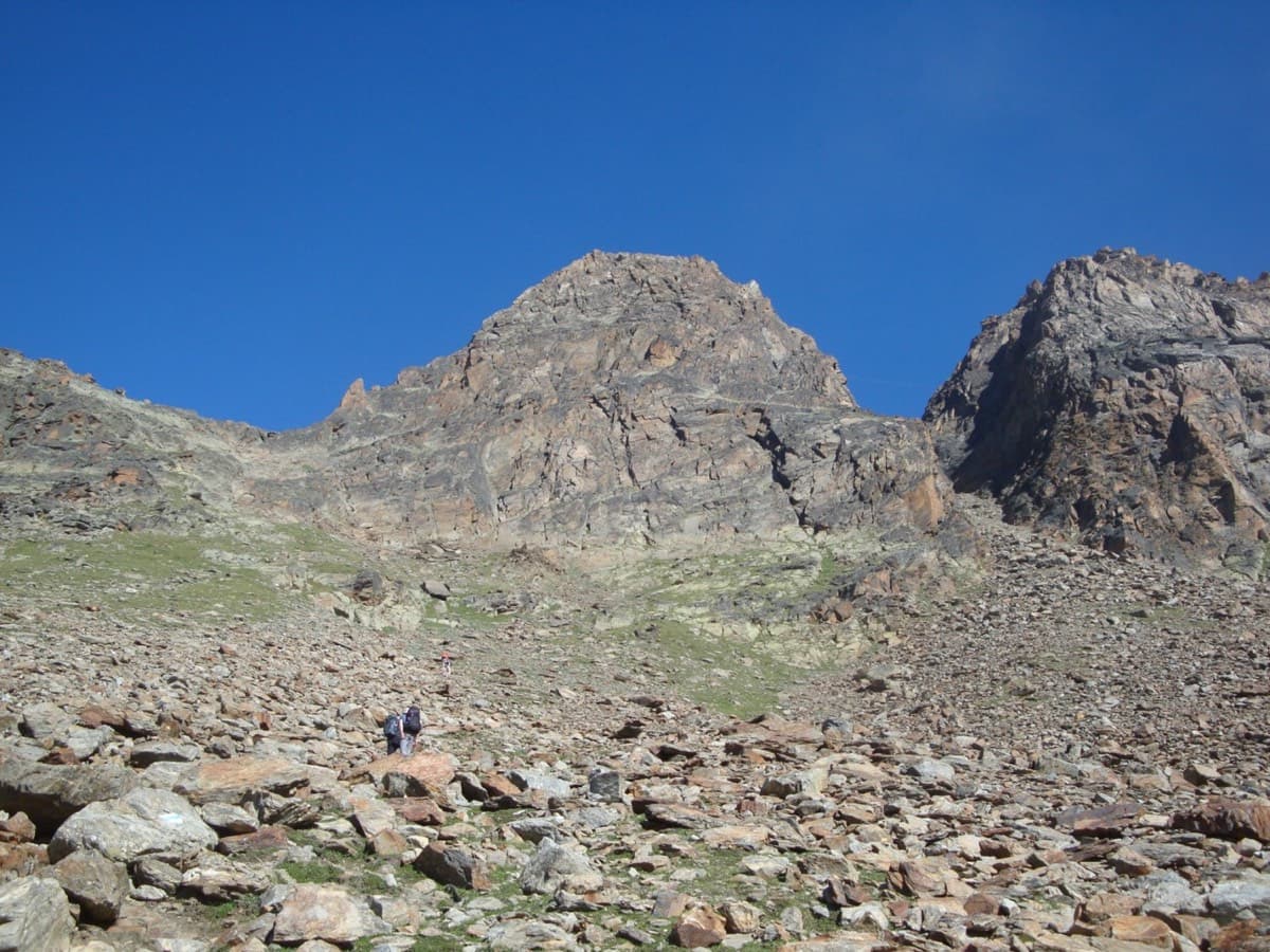
The south face of the Jegihorn seen from the approach path; Alpendurst climbs the middle of the face to the summit

Switzerland · Saas Valley

Alpendurst

Fourteen pitches of steady 4b and 4c on good gneiss that finish at the summit cross of a 3206 m peak, reached from a gondola. It is the best-known plaisir route on the Jegihorn, closely bolted with chained belays, and often climbed in mountain boots as a first long alpine rock route. Expect company: it is very busy in high summer.

4c14 pitches350 m

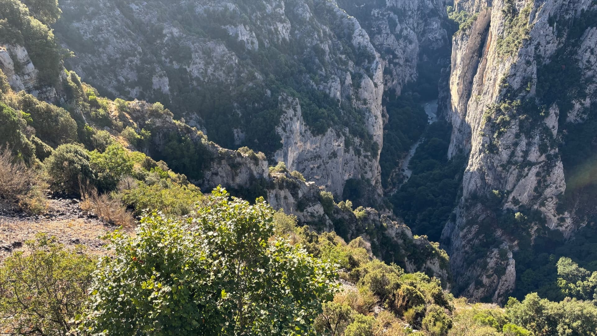
The Imbut gorge from the Maugué belvedere: the Arête de l'Herbetto is the narrow rib in the gorge below; the photographer does not mark which one.

France · Verdon

L'Herbetto

The easiest way to climb out of the Verdon gorge: a long, wandering ridge of short pitches at grade 3 and 4 that starts close to the river and finishes near the rim road. The climbing is modest but the setting is the full Verdon. You walk down a steep path with fixed ropes to reach the start, so the route is your way back up.

4c9 pitches180 m

Read the cautions

Hand-drawn topo of Joli coup Baron showing the three steps, the walks between them and the pitch grades

France · Briançonnais

Joli coup Baron

Twelve short pitches up three separate quartzite steps on the west side of the Rocher Baron, ten minutes from the road in the Durance valley south of Briançon. It starts very easy and steepens as it goes: the top step has the 5a bulge and the best climbing. A first multipitch, low and quick to reach, with road noise on the lower part.

5a12 pitches210 m

The Schärtenspitze seen from the north-west; the slab routes above the Blaueishütte climb this side of the mountain

Germany · Berchtesgaden & Bad Reichenhall

Logic Line

The shortest and easiest line on the slabs above the Blaueishütte: eight pitches of water-worn limestone slab, ramps and one water runnel, mostly UIAA III with a single IV+ step. It is closely bolted and often used as a first alpine multipitch. You finish next to the normal route and can carry on to the 2153 m summit.

4c8 pitches260 m

Compiled from published sources and last verified October 2026. Bolts, anchors and access change. Climbing is dangerous and you are responsible for your own decisions: check a current topo and read the disclaimer.