Multipitch Atlas

Les Miss

Pic de Jallouvre (Col de la Colombière) · Aravis · France

Bail not documentedBolting confidence: high

A long, gentle climb up the slabs and runnels of the Jallouvre's south-east flank, like the neighbouring Voie des Cristaux but with more real climbing. Fifteen short-lived pitches are broken by three or four walking links; the moves of grade 5 are brief and well protected. A good place to practise multipitch routines.

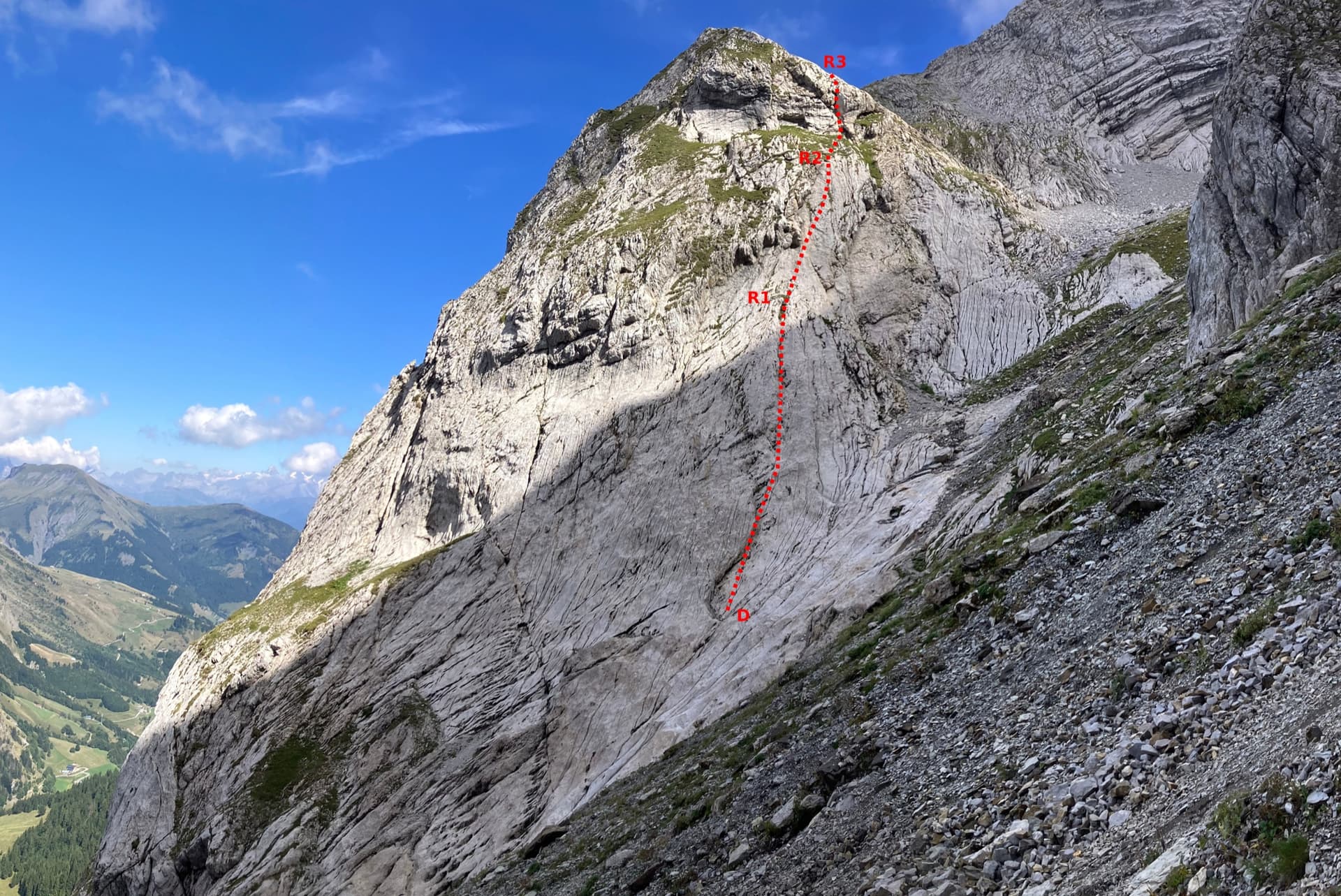
The lower slabs of the Pic de Jallouvre above the quarry car park, with the start of Les Miss marked in redPhoto: Patrick Vuilleumier · CC BY-SA 3.0

Photo

The lower slabs of the Pic de Jallouvre above the quarry car park, with the start of Les Miss marked in redPhoto: Patrick Vuilleumier · CC BY-SA 3.0
Hardest pitch
5c
Pitches
15
Length
400 m
Approach
10 min
Aspect
SE
South-east-facing
Rope
1×50 m
walk-off

The route

Overview

Les Miss climbs 400 m of easy-angled limestone above the Col de la Colombière road, a few minutes from the car. The lower third is easy slab; the climbing becomes interesting from pitch 7, with steps, a wide chimney, a steep juggy wall and one short 5c slab. Between the tiers you walk across grass, following small blue plaques marked 'Les Miss'. It ends beside the descent path of the Jallouvre via ferrata, and strong parties continue up the Arête des Bouquetins to the summit. Allow about 5 hours if you belay every pitch.

The climbing

Pitch by pitch

Pitches of Les Miss
PitchGradeLengthNotes
P14c45 mStraight up. Stones can fall onto the belayer.
P23b45 mSlab.
P32c20 mA walking link left to the foot of a small pillar (the English description grades it 2c).
P44b50 mClimb the pillar and continue straight above to a belay on one bolt or built among small blocks on easy ground. Then walk straight up for about 100 m, leave the track of the Voie des Cristaux on the right and go clearly left through grass and rocks for 50 m, no more, to a big white slab and a blue plaque.
P54a45 mVery easy-angled slab, then two steps in succession, the second a little bigger.
P63c45 mLong easy-angled slab.
P75b–Climb the step, then a long slab traverse left to the next step. The interesting climbing starts here.
P85b–A wide chimney, then a long slab.
P95a+–A fine wall, steep at first on good holds, then slab to the next step.
P105c–A step, then a fractured slab: the technical crux, short and well protected.
P114a16 mA short pitch on an easy-angled but smooth slab. A July 2026 party reported a loose flake about 40 cm wide and 1.5 m high to the right of the second bolt and told the guides' office.
P125a46 mSlab, then a step on the left. Afterwards cross grassy terraces horizontally right (one bolt in a piece of slab) to a fine slab 8 m from its right edge and a blue plaque; the Voie des Cristaux is close by on the right.
P135b–A fine slab that steepens slightly, trending left.
P145b–Right of the belay, an awkward chimney for a few metres, then friction to a terrace with a juniper. It is short; you can continue by walking right and climbing a small slab with one bolt to the foot of a vague spur and a blue plaque.
P155b50 mThe foot of the spur is very steep but well protected, with a reachy first move, then it lies back. The start can be avoided on the left at 4c.

Getting there

Approach

To the parking

The Jallouvre routes start from a small quarry car park two hairpins below the Col de la Colombière on its Le Grand-Bornand (Le Chinaillon) side; it is more convenient than the car park at the col, which is often full in summer. A shuttle runs from Le Grand-Bornand to Le Chinaillon, from where a path or the road climbs to the col. The col road is closed in winter.

On foot · about 10 min

About 10 min; a 2026 party took 3 to 5 min. From the corner of the quarry car park follow a slanting track left up the scree and then grass. The start is left of a cave with a big square overhang, in a small recess at the top of a grassy hump that you pass on the left, and is marked by a small blue plaque 'Les Miss', about 50 m left of the Voie des Cristaux.

Map of the walk-in

  • Crag
  • Parking

Loading map

The point marks the crag, not the exact start of the route.

Coordinates · crag

45.99619, 6.45340

Parking

45.99222, 6.47556

Col de la Colombière (camptocamp waypoint 135395); the quarry car park used for the routes is two hairpins below on the Grand-Bornand side

Point from camptocamp waypoint 38260 (Pic de Jallouvre summit); the route starts on the south-east flank above the quarry car park

For your phone or watch

Download GPX

Contains the route point and parking. Opens in most mapping apps and GPS watches.

Points are compiled from published sources, with the precision stated above. They were not surveyed on the ground: check them against a current topo.

Getting down

Descent

The descent path of the via ferrata passes 2 m from the last belay. Follow it to the right, then take the Jallouvre path back to the car park, about 45 min. The cable on the path is usually taken down for the winter at the end of October.

Retreat

Bailing off the route

Bail not documented

No source describes a retreat. The route is broken by walking terraces, and the neighbouring Voie des Cristaux has a path to the col from its mid-height terrace, but nothing confirms the same for Les Miss. The belays are bolted but unlinked and without abseil hardware.

Retreat from
Not documented. The terraces after pitches 4 and 12 are the obvious places to look, and the Voie des Cristaux is within reach to the right at both (inferred).
Point of no return
Not documented.
Carry
Maillons and cord if you intend to abseil from the unlinked belays; with a single 50 m rope you can only abseil 25 m.
Basis
Inferred from the route factsCamptocamp states only bolted, unchained belays and a walk-off from the top.

Partly inferred from the route facts

Safety

Hazards

  • Route finding on the grassy links: keep left and look for the blue plaques; drifting right puts you on the Voie des Cristaux.
  • Many ledges with loose stones: climb gently and watch for parties below, especially on pitch 1.
  • A large loose flake was reported on pitch 11 in July 2026.
  • Belays are unlinked pairs of bolts, and one in the lower part is a single bolt.
  • Steep grass on the links and descent is slippery when wet.

Sun and weather

Conditions

South-east facing between 1550 and 2000 m, in the sun from the morning and very hot in a heatwave, although one July party found it cooler than the valley. It dries fast: it was completely dry the morning after heavy rain in August 2026. The moves of grade 5 are becoming polished.

Usual season · May to Oct

Sun on the wall · SE-facing

Working out the sunlit hours for this month.

  • January: not yet worked out
  • February: not yet worked out
  • March: not yet worked out
  • April: not yet worked out
  • May (usual season): not yet worked out
  • June (usual season): not yet worked out
  • July (usual season): not yet worked out
  • August (usual season): not yet worked out
  • September (usual season): not yet worked out
  • October (usual season): not yet worked out
  • November: not yet worked out
  • December: not yet worked out

Sun on the wallDaylight, wall in shade● Usual season

Estimated from the wall's aspect only. Ignores surrounding terrain, gullies and the wall's exact shape. Clock times are local to the wall (Central European time), for the 15th of each month.

Monthly climate averages for Aravis, 1991-2020
MeasureJanFebMarAprMay (usual season)Jun (usual season)Jul (usual season)Aug (usual season)Sep (usual season)Oct (usual season)NovDec
Mean daily high °C−7−5−21610131395−2−6
Mean daily low °C−16−15−12−8−4133−1−5−11−15
Rain days 1 mm or more131113151918171614131413

● marks the usual climbing season. Averages for 1991-2020 at about 2371 m. Area climate from Open-Meteo reanalysis. Temperatures are adjusted to the height of the crag; rain comes from a grid cell of about 10 to 25 km, and summer highs on sea cliffs can read a few degrees low. The wall and valley can differ. Data: Open-Meteo, CC BY 4.0.

What to carry

Gear

A 50 m rope, 11 quickdraws and slings to link the belay bolts, which are not chained. A few extra draws let you link the easy pitches. Helmet.

Checklist

Quickdraws
11
Rope
1×50 m (walk-off)
Helmet
One each
Maillons or spare karabiners
To leave behind if you retreat
Cord
Mentioned for retreat

Derived from the route data; check it against a current topo

From climbers

Reader reports

Reader reports are not being collected yet. Until they are, check a current topo and the local club or guidebook publisher for recent changes to Les Miss.

Worth knowing

Tips

  • Much of the route can be climbed moving together or in approach shoes by competent parties; one did it car to car in about 4 h.
  • Pitches 13 and 14 link with a 50 m rope.
  • For a full day continue up the Arête des Bouquetins to the summit of the Jallouvre and descend the normal route.
  • It is less busy than the Voie des Cristaux but still popular at summer weekends.

Open questions

Where sources disagree

  • The start: the French camptocamp text now describes an independent start 50 m left of the Voie des Cristaux (4c 45 m, 3b 45 m, a 20 m walk, 4b 50 m) and lists a separate 'original start' of 4c 35 m, 5a 40 m and 3b 48 m. The English and Spanish texts still say the first four pitches are shared with the Voie des Cristaux. The French description, the most recently edited, is followed here.
  • Pitch 3 is a walk in the French text and a 30 m pitch of 2c in the English text.
  • Approach time: 10 min in French, 15 min in English, 3 to 5 min for a 2026 party.
  • This record rests on camptocamp alone (route text in three languages and 2026 trip reports); the route was not found on theCrag.

Provenance

Sources

Same area

More in Aravis

All routes in Aravis
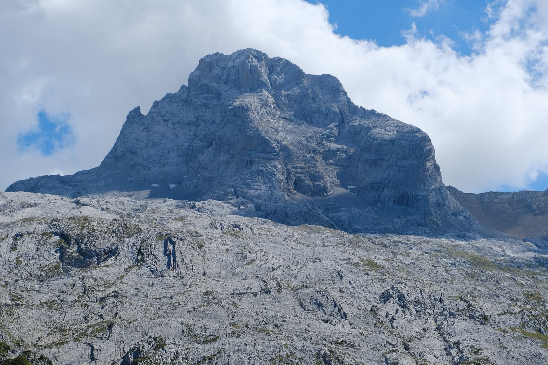
The Pointe Percée above the limestone pavement of the Gramusset plateau, seen from the north-west; Le sirop pour machin starts from the crags near the hut and finishes on the summit, the exact line is not marked.

France · Aravis

Le sirop pour machin

An introduction to mountain multipitch that tops out right under the summit cross of the highest Aravis peak. Grippy fluted limestone is linked by cairned walking sections, and the last pitches are the best.

5b+11 pitches400 m
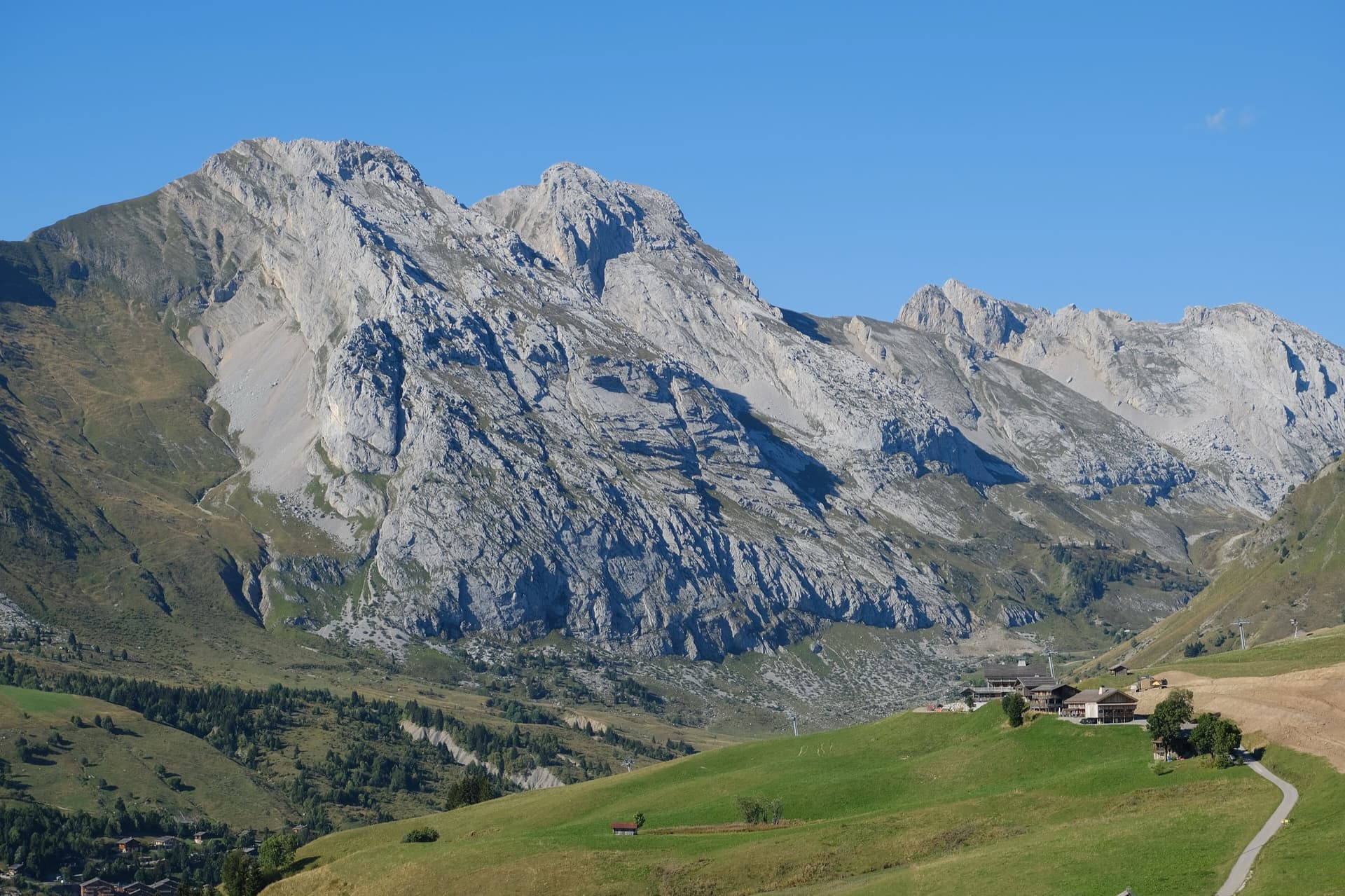
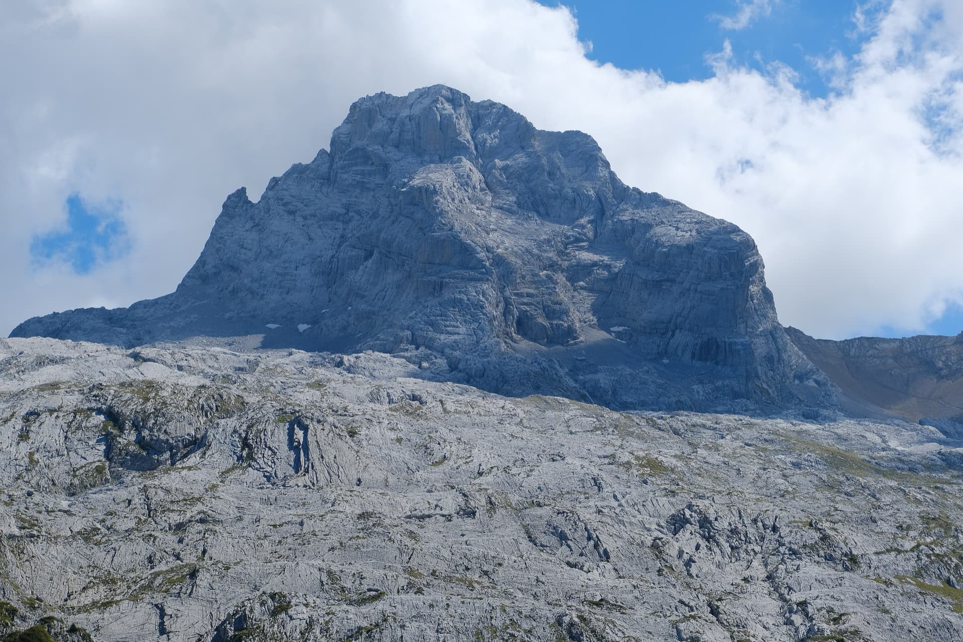
The south face of the Pic de Jallouvre (left summit) and the Pointe Blanche above the chalets of Le Grand-Bornand, on the road to the Col de la Colombière; the Voie des Cristaux climbs the right-hand side of the Jallouvre face.

France · Aravis

Voie des Cristaux

Sixteen pitches of easy slabs and water-worn runnels above the Col de la Colombière, on the border between scrambling, climbing and mountaineering. Nothing is harder than 4b and most of it is grade 3, on sculpted, grippy limestone among ibex and edelweiss. Many parties carry on up the Arête des Bouquetins to the summit for a very long day.

4b16 pitches400 m

The north-west face of the Pointe Percée rising above the limestone pavement of the Gramusset plateau, seen from the Col des Annes side; Heididoune climbs this face to the summit, the exact line is not marked.

France · Aravis

Heididoune

A ten-pitch line to the summit of the Pointe Percée, the high point of the Aravis, following green hangers up the cool north-west face. Seven long pitches, mostly easy with a 6a+ wall, reach the notch of the Arête du Doigt; three independent pitches finish it, including a memorable slab traverse of 6b+ that can be aided on the bolts.

6b+10 pitches400 m

Read the cautions

The first three pitches of the Arête à Marion drawn on the slab at the foot of the ridge, with the belays marked

France · Aravis

Arête à Marion

The classic easy ridge of the Aravis: three bolted slab and chimney pitches, then a long, airy limestone crest with Mont Blanc in view all the way. Most of it is grade 3 and is often climbed moving together. The steep scree of the approach and descent is the hard part of the day.

4c13 pitches300 m

Read the cautions

Around 5c · about 15 pitches

Similar elsewhere

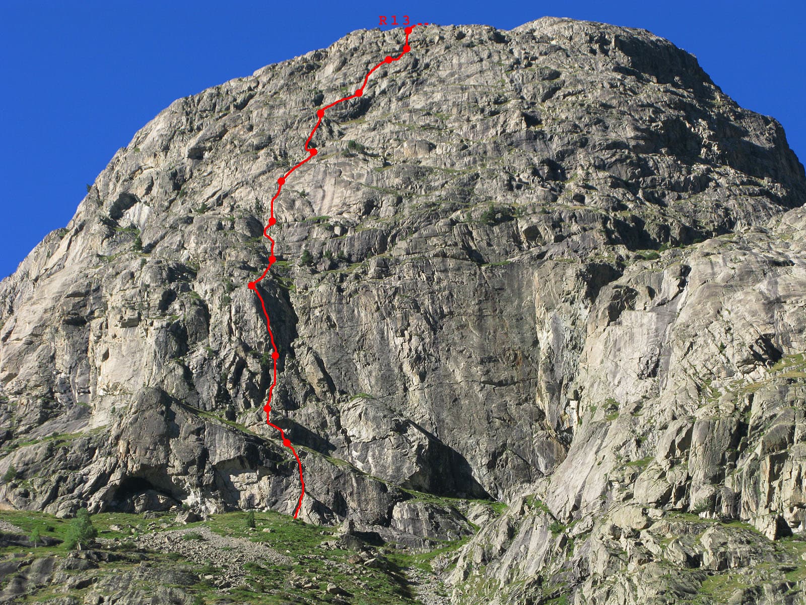
Du V à tire-larigot marked in red on the south face of the Tête de la Maye

France · La Bérarde (Écrins)

Du V à tire-larigot

The longest route on the Tête de la Maye at this grade and by far the most popular: fourteen pitches, sustained at 5b with three pitches of 5c. Steep steps, slabs, a roof, a layback crack on a pillar and a few grass ledges. The fives feel honest and only one 5b move is obligatory.

5c14 pitches400 m

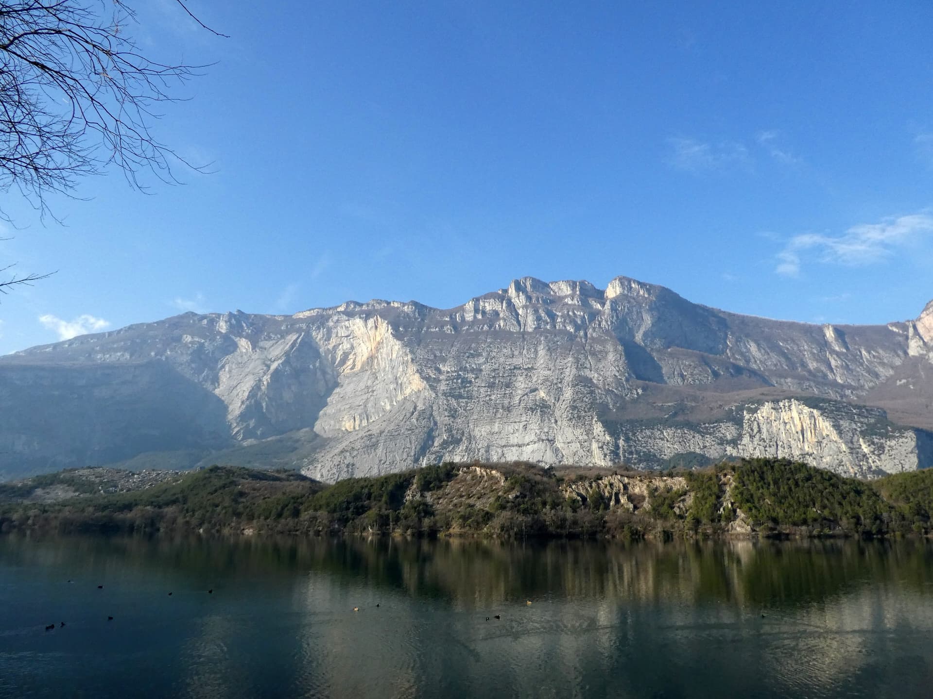
The east face of Monte Brento rising above Lago di Cavedine and the Marocche boulder field. The Placche Zebrate are the pale slab apron at the foot of the wall; the route's line is not marked.

Italy · Arco & Valle del Sarca

Rita

This is the archetypal long, easy Arco slab, first climbed in 1971. It wanders up the lower bands and then improves into a superb water-worn chimney system in the upper half. It is very polished and very busy, so start early. Original grade 6- UIAA per bergsteigen.com; gulliver gives 5c max.

5c16 pitches400 m

Read the cautions

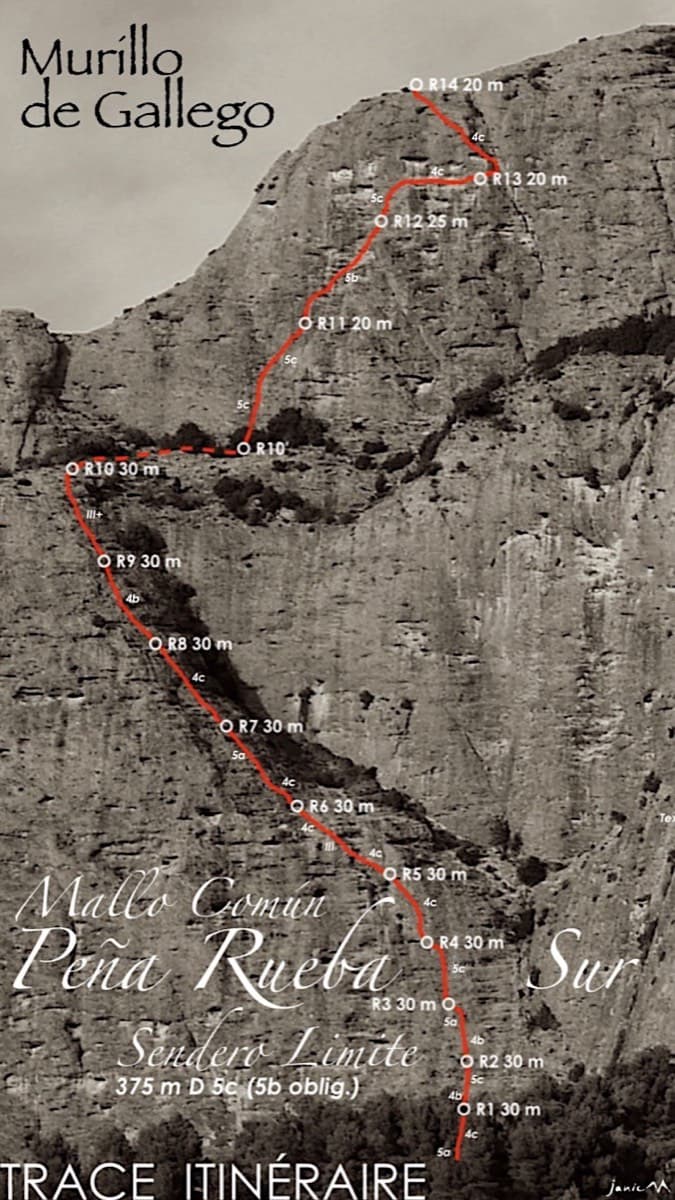
Topo of Sendero Límite on the south face of Peña Rueba (Mallo Común)

Spain · Riglos & Agüero (Mallos)

Sendero Límite

A long beginner's big route on good conglomerate at a moderate angle. Pitches can be linked in pairs with a 60 m rope. A four-pitch headwall with a couple of panzas finishes high above the Gállego valley.

5c14 pitches375 m

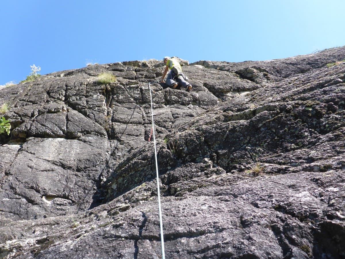
Climber on pitch 3 or 4 of Les Pets des Rupricaprins, La Draye, Ailefroide

France · Ailefroide

Les Pets des Rupricaprins

A long, sunny outing up a series of granite steps, consistently in the 5th grade, finishing with a great view over La Draye. Grassy ramps separate the tiers, so the climbing never feels exposed.

5c14 pitches450 m

Compiled from published sources and last verified October 2026. Bolts, anchors and access change. Climbing is dangerous and you are responsible for your own decisions: check a current topo and read the disclaimer.