Multipitch Atlas

La princesse de feu

Pic de l'Aigle – west face · Cerces · France

Read the cautionsBail not documentedBolting confidence: high

Eight sustained pitches at 6b to 6c up a steep 250 m west face in the northern Cerces, on rough, pocketed grey and red limestone. One bouldery 7a bulge on the second pitch breaks the rhythm and can be pulled through; the rest is technical wall climbing with a wide crack, a water-pocket traverse and a layback up an arête. Widely rated among the best routes of the massif, and a good choice in a heatwave.

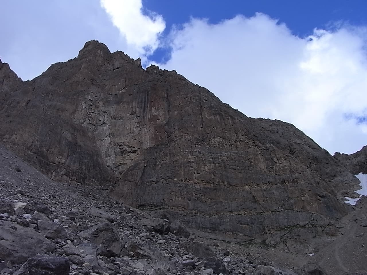
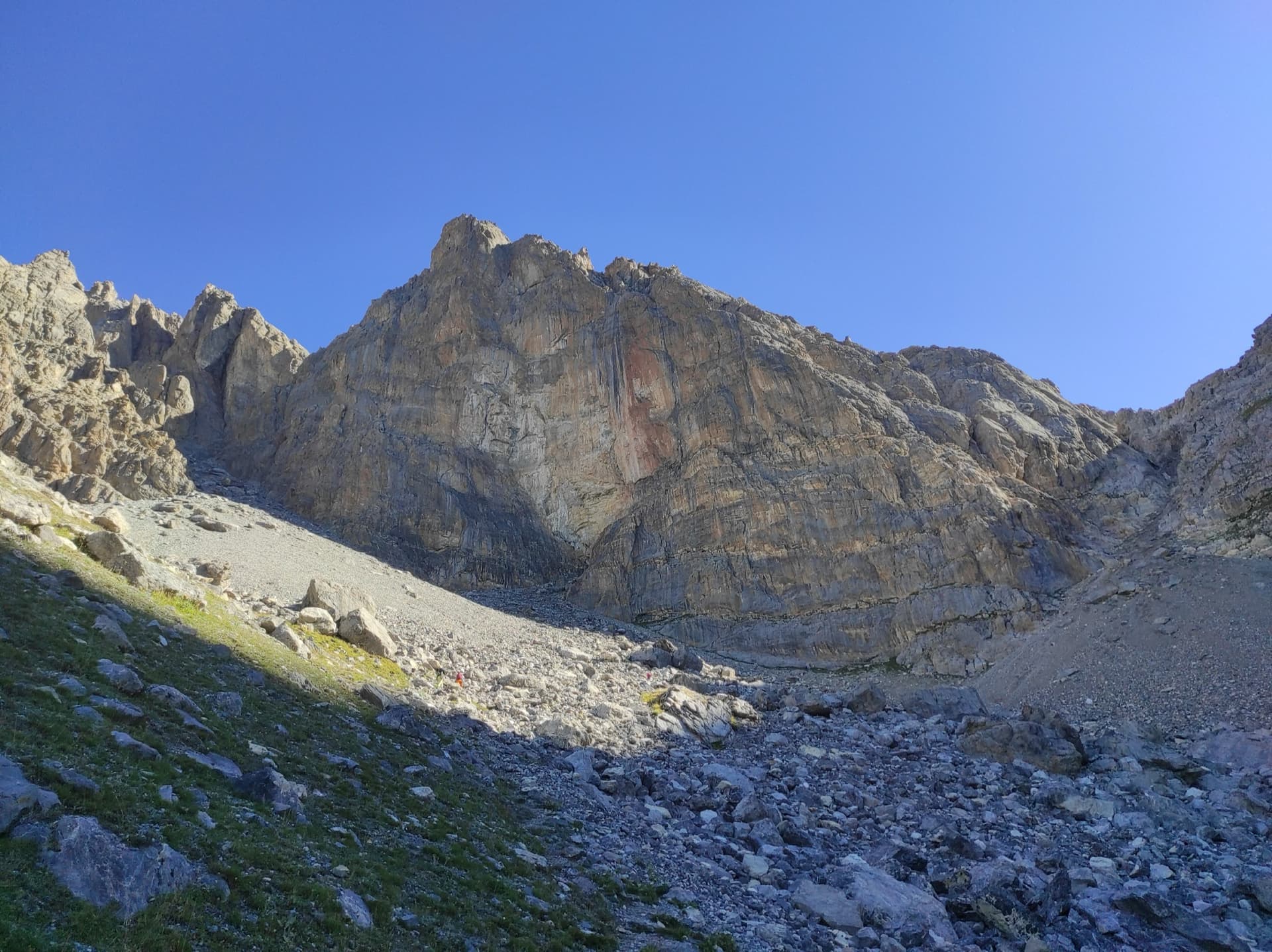
The steep rock face of the Pic de l'Aigle in the northern CercesPhoto: Michmuch06 · CC BY-SA 3.0

Photo

The steep rock face of the Pic de l'Aigle in the northern CercesPhoto: Michmuch06 · CC BY-SA 3.0
Hardest pitch
7a
Pitches
8
Length
250 m
Approach
60 min
Aspect
W
West-facing
Rope
Not specified by the sources
walk-off descent; pitch lengths not published
Read before you go

Solid modern bolts, but airy between them with about 6b+ obligatory, and a first belay that includes two old 8 mm bolts.

The route

Overview

The Pic de l'Aigle (2776 m) stands above the Rochilles military camp at the northern end of the Cerces, on the Valloire side of the Col du Galibier. Its west face is a steep, compact wall of sculpted limestone, and La princesse de feu, opened in 2009 by Julie Garcia and Philippe Mussatto, takes a line straight up to the fore-summit. Every pitch is 6a+ or harder and the route is homogeneous at 6b to 6c, with a short bouldery crux of 7a over a grey bulge that most parties aid. The bolting asks you to be comfortable at the grade. The approach and the walk-off are both short and pleasant for a wall of this size.

The climbing

Pitch by pitch

Pitches of La princesse de feu
PitchGradeNotes
P16b+A fairly easy start, then harder and a little athletic at a pillar, around the fifth and sixth bolts, and a run-out 6b finish to the belay on two old 8 mm bolts and one 10 mm. Take care not to start up the loose route to the left.
P27aA wide corner, a vertical wall and a slab trending left (6a+), then a small grey bulge: a bouldery, reach-dependent 7a that goes at A0 on the well-placed bolt. Do not stop at the belay just below the bulge; use the one just above it. The loose block once used here has gone.
P36cA pillar, then a small pillar-corner keeping right of the crest. Very abrasive rock; a long, continuous and demanding pitch with one awkward clip.
P46b+Varied: a wide crack to squirm up at the start, a traverse left across a slab of water pockets, a move over a bulge and a pillar.
P56a+Heavily sculpted rock. Not to be underestimated: it climbs all the way, with a move in the middle and a physical overhang at the end.
P66cTraverse left to the steep red wall, climb it trending left, then gain the arête and layback up it. The showpiece pitch.
P76bStart slightly left on footholds until the handholds appear, then straight up on good, featured rock.
P86b+A balancy start to cross the crest of the pillar to the right, then weave up the pillar and finish by a small corner and an easy but crumbling slab.

Getting there

Approach

To the parking

From Briançon cross the Col du Lautaret and the Col du Galibier and descend the Valloire side to Plan Lachat; from the north come up through Valloire. At Plan Lachat take the stony track up the valley towards Les Mottets (2137 m), which is delicate for low cars, and park about 300 m below the military camp of Les Rochilles, or at Plan Lachat if you prefer not to drive the track. A barrier normally closes the military road above. There is no public transport.

On foot · about 60 min

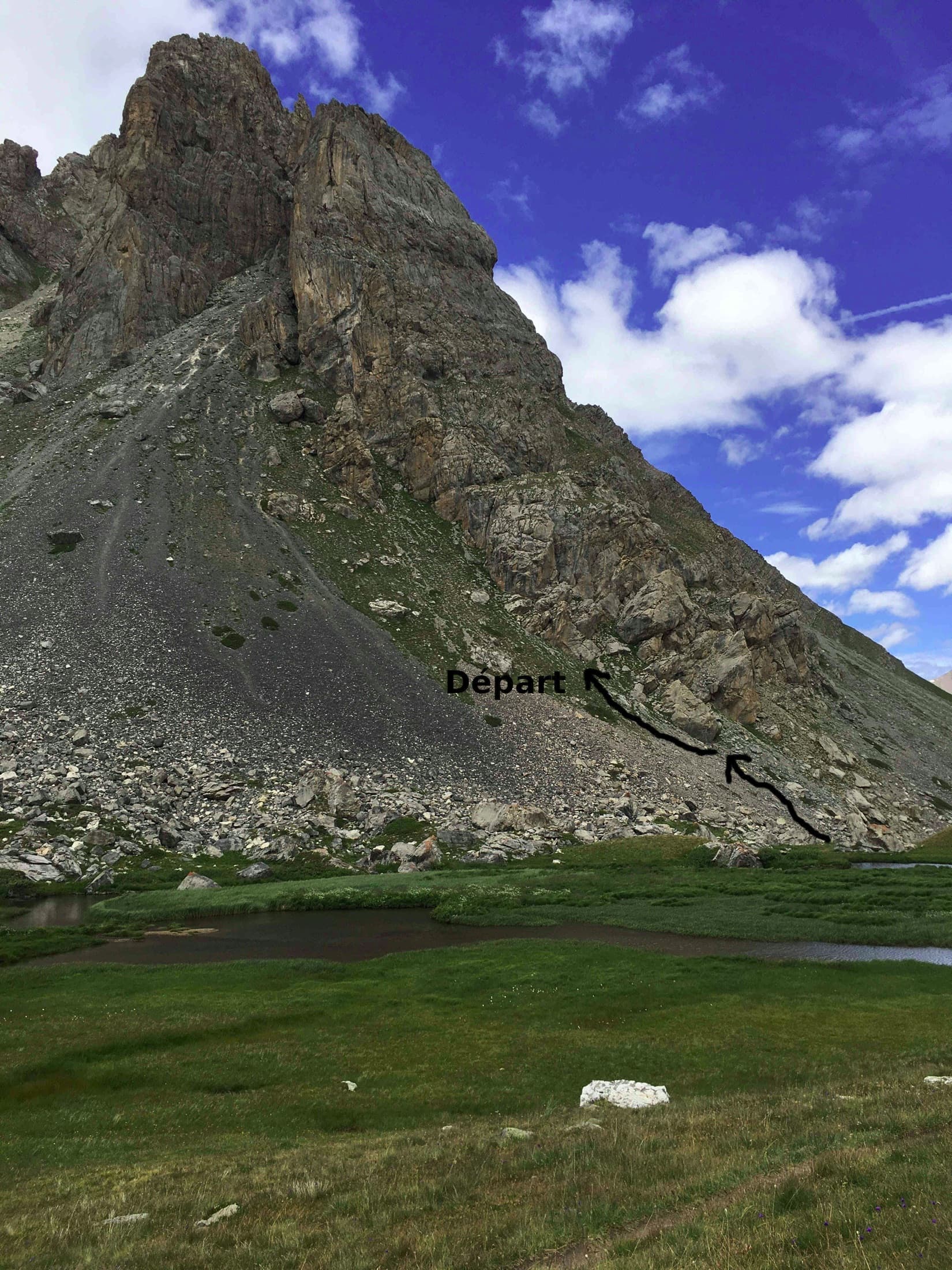
About 1 hour from the Mottets barrier; 30 to 45 minutes if you park higher on the track, 1 h 30 on foot from Plan Lachat. From Plan Lachat follow the track towards Les Mottets, pass two stone buildings on the left and at about 2080 m take a path on the left signed 'sentier direct' to the Rochilles camp; from Les Mottets a path cuts the bends of the track in 30 minutes. From the camp climb the scree north-east to the foot of the wall. Identify the summit of the face and the fore-summit just to its right: the route starts up a steep grey slab directly below the fore-summit. The faded initials 'PF' are written on the rock. A route on very shiny gold bolts, 'Le prince défunt', starts 10 m to the left, and two much harder routes lie 8 m and 30 m to the right.

Map of the walk-in

  • Crag
  • Parking

Loading map

The point marks the crag, not the exact start of the route.

Coordinates · crag

45.09027, 6.46722

Parking

45.08305, 6.45298

Les Mottets, parking below the Rochilles camp at the end of the track from Plan Lachat (camptocamp waypoint 455306)

Point from camptocamp waypoint 43935 (Pic de l'Aigle summit)

For your phone or watch

Download GPX

Contains the route point and parking. Opens in most mapping apps and GPS watches.

Points are compiled from published sources, with the precision stated above. They were not surveyed on the ground: check them against a current topo.

Getting down

Descent

On foot. From the top, cross the grass towards a col (on your left as you descend) and follow a path back down to the military camp and the track. About 1 hour to the car at Les Mottets.

Retreat

Bailing off the route

Bail not documented

Retreat is not documented. The normal descent is on foot from the top, and no source says whether the belays are rigged for abseiling or how long the pitches are. The belays are bolted and the line is steep and fairly direct, which would favour abseiling.

Retreat from
Not known. Bolted belays at the top of each pitch; an extra belay sits just below the bulge on pitch 2.
Point of no return
Not documented. The hardest move, the 7a bulge on pitch 2, can be aided, but the 6b+ to 6c climbing above is obligatory in places.
Carry
If you want the option, climb on two ropes and carry maillons and cord, as pitch lengths and abseil hardware are unconfirmed.
Basis
Inferred from the route factsCamptocamp and gulliver describe only the walk-off; the gear advice is inferred from the absence of pitch lengths and abseil information.

Partly inferred from the route facts

Safety

Hazards

  • Around 6b+ is obligatory and the bolts are spaced where the climbing eases; camptocamp calls it 'long-route style' equipment and gulliver says the bolting is not generous. Have a margin at the grade.
  • A fall from the 7a bulge is awkward because the belayer cannot see the leader; aid it if in doubt.
  • The route to the left of the start is loose. A climber who began up it by mistake in 2025 dislodged a flake onto her partner.
  • The last metres of pitch 8 are crumbling rock.
  • The Rochilles camp is in military use: expect noise and occasional activity.
  • High mountain weather; summer afternoon storms.

Sun and weather

Conditions

West facing at about 2520 to 2770 m, so the sun should reach the wall late (inferred from the aspect); gulliver recommends it for hot summers, and one August party was in T-shirts from 9:00. The season is June to September, set by snow on the Galibier road and the track. One party found the rock dry the day after storms. Allow 4 to 6 hours on the route.

Usual season · Jun to Sep

Sun on the wall · W-facing

Working out the sunlit hours for this month.

  • January: not yet worked out
  • February: not yet worked out
  • March: not yet worked out
  • April: not yet worked out
  • May: not yet worked out
  • June (usual season): not yet worked out
  • July (usual season): not yet worked out
  • August (usual season): not yet worked out
  • September (usual season): not yet worked out
  • October: not yet worked out
  • November: not yet worked out
  • December: not yet worked out

Sun on the wallDaylight, wall in shade● Usual season

Estimated from the wall's aspect only. Ignores surrounding terrain, gullies and the wall's exact shape. Clock times are local to the wall (Central European time), for the 15th of each month.

Climate figures for Cerces are not available yet

What to carry

Gear

16 quickdraws, plus what you need for the belays. The descent is on foot and pitch lengths are not published, so no source specifies the rope; a 2026 party hauled a small bag without trouble. Helmet.

Checklist

Quickdraws
16
Rope
Not specified by the sources (walk-off descent; pitch lengths not published)
Helmet
One each
Maillons or spare karabiners
To leave behind if you retreat
Cord
Mentioned for retreat

Derived from the route data; check it against a current topo

From climbers

Reader reports

Reader reports are not being collected yet. Until they are, check a current topo and the local club or guidebook publisher for recent changes to La princesse de feu.

Worth knowing

Tips

  • Grades are tight. Several strong parties suggest adding half a grade to every pitch and recommend onsighting 6c comfortably to enjoy it.
  • Carpe Diem and Maelstrom on the same face are the usual follow-ups; this route is considered a notch harder than Maelstrom.
  • The name was the nickname of Julie Garcia, who opened the route with Mussatto.

Open questions

Where sources disagree

  • Crux grade: 7a on camptocamp and in the first ascensionist's topo; gulliver proposes 6c+, and one 2026 camptocamp party 6c/7a.
  • Gulliver's proposed grades for the other pitches (6b+, 6c+, 6c, 6b+, 6a+, 6c, 6b, 6b+) match camptocamp apart from the crux; one 2026 party graded the first pitch 6c.
  • Obligatory grade: 6b+ on camptocamp, 6b on gulliver.
  • Approach time: under an hour from the Mottets barrier in one report, 1 h 30 from the parking in another, depending on how far up the track you drive.
  • Administrative location: gulliver files the route under Valloire, Savoie; the face is in the Cerces massif on the Savoie side of the Galibier.

Provenance

Sources

Same area

More in Cerces

All routes in Cerces
The face of the Tour Termier above its scree bowl in the Cerces; Feu Sacré climbs this wall, the line is not marked.

France · Cerces

Feu Sacré

The classic hard route of the Tour Termier: ten steep, technical pitches on superb compact limestone at 3000 m, a short walk from the Col du Galibier road. It is never athletic but sustained at 6a+ to 6b, with a 7a pitch and a 6c move that both go at 6a A0. Cold, wind and thin footwork make it feel bigger than the numbers.

7a10 pitches320 m
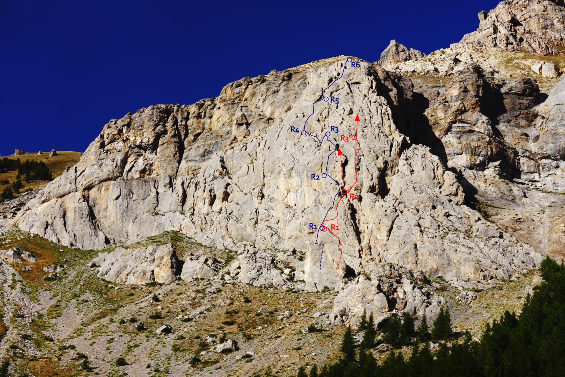
The Éperon du chemin du Roy with Che Guevaroux and the Voie des Quarante drawn in; from pitch 3 the red line shows the neighbouring Faux-cil variant, the original Quarante staying in the chimney

France · Cerces

Voie des Quarante

A friendly six-pitch route on the lower buttress of Roche Robert, half an hour above the Lautaret road. Sustained grade 4 on good limestone, with slabs, a chimney and two steeper steps of 5a to 5b near the top. Stances are big ledges and there is little exposure, so it suits a first multipitch.

5b6 pitches180 m

The Pavé du Chardonnet from the marshy flats above the hut, with the way to the start marked

France · Cerces

Dessine-moi un 4 sup

A long, easy mountain route above the Chardonnet hut in the upper Clarée valley: ten pitches of slabs, a chimney, grooved grey rock and a crest, linked by ledges and one 75 m walk. It is never sustained, with the 5c on a slabby traverse, and the best pitches are near the top. The setting is the attraction; the descent gully is the price.

5c10 pitches300 m

The south-west face of the Tour Termier from the scree below

France · Cerces

Ponant Neuf

The most popular route on the Tour Termier, a 3070 m limestone tower near the Col du Galibier. Sustained and varied at 5c to 6a+ on rough, sculpted rock, with several traverses that add length and a much-photographed 6a+ finish. It is the easier neighbour of Feu Sacré but still a mountain route: cold, often windy, and you climb between the bolts.

6a+10 pitches345 m

Read the cautions

Around 7a · about 8 pitches

Similar elsewhere

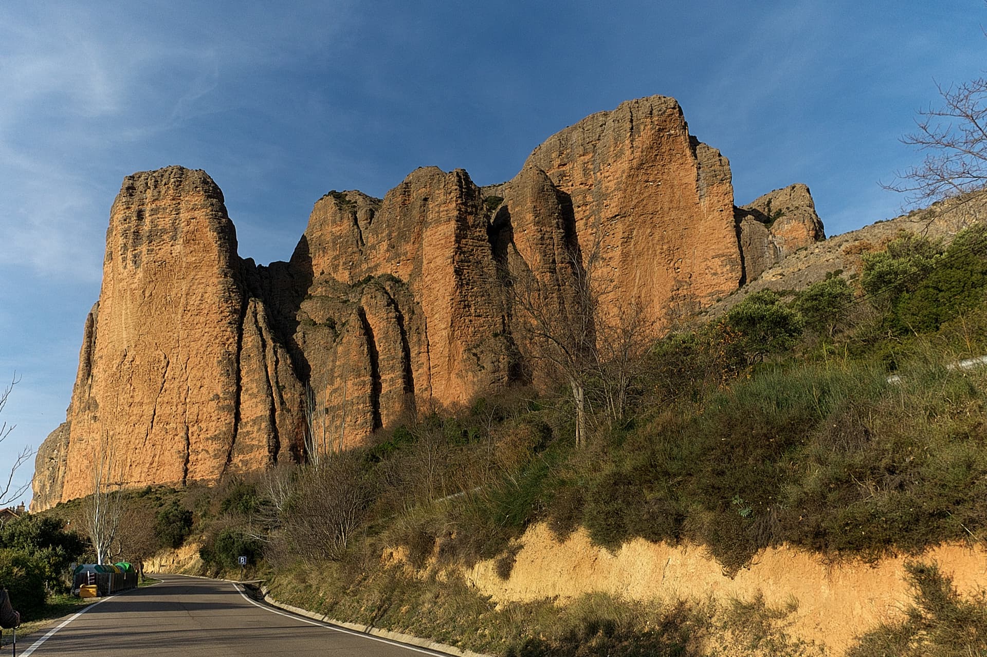
The south faces of the main Riglos wall in low sun, seen from the road into the village: Mallo Pisón on the left and the wall running right towards Mallo Frechín and La Visera at the right-hand end.

Spain · Riglos & Agüero (Mallos)

La Fiesta de los Bíceps

The famous overhanging line up the left side of the Visera, following the white chalk stripe you can see from the village. A polished, technical 7a pitch low down, then five pitches of ever steeper climbing on huge cobbles where the difficulty is staying un-pumped. Bolts are sound but spaced, and above the third belay the only practical way off is the top.

7a8 pitches250 m

Read the cautionsCommitting

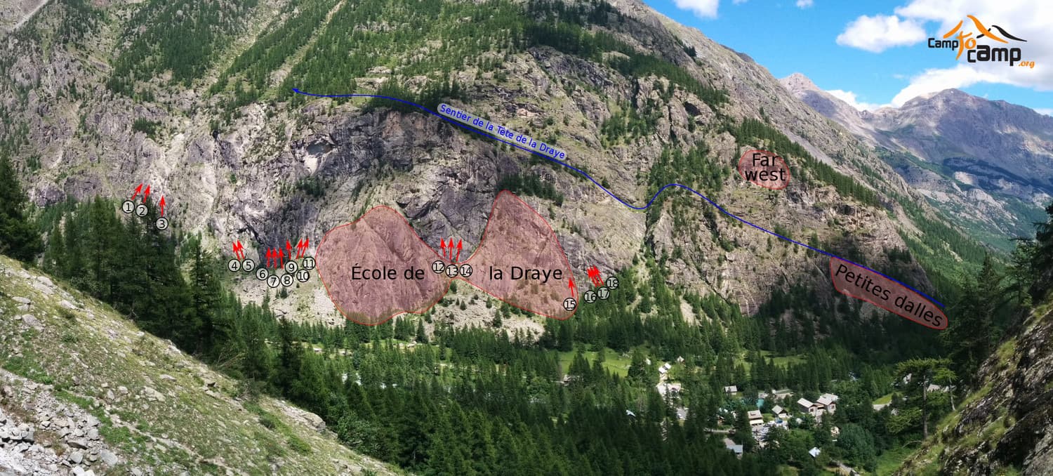
The Draye walls above Ailefroide with their sectors and the path to the Tête de la Draye; the numbered arrows mark the starts of the long routes

France · Ailefroide

Draye way star

A direct 200 m line up the black wall of the Draye, mixing friction slabs with athletic cracks. The 7a pitch is short: a reachy boulder move, an airy traverse under big overhangs and a fine thin crack. It is in the shade all morning.

7a8 pitches200 m

A climber on the thin 7a traverse of La célébration du lézard, September 2026

France · Bavella

La célébration du lézard

The harder companion to Alexandra on the same orange buttress: eight pitches that swing between holdless friction moves and romps up enormous tafoni, with many traverses, a rounded wide crack, a delicate 6c pillar and a very thin 7a traverse that is closely bolted and can be avoided by a 6a crack. Freshly rebolted and among the best sport routes in the massif at its grade.

7a8 pitches220 m

Committing

The Röthelstein seen from a spur of the Rote Wand, looking west across the Bucheben saddle; Plattenzauber is on the slabs of the south-east spur and the descent returns over this saddle

Austria · Grazer Bergland

Plattenzauber

Technical slab climbing up the central slab shield of the Röthelstein's south-east spur, getting better the higher you go. The hardest moves are UIAA 8- and about 6+/7- is obligatory, so this is the hard option on the spur, but the bolts are stainless and close together.

7a8 pitches230 m

Compiled from published sources and last verified October 2026. Bolts, anchors and access change. Climbing is dangerous and you are responsible for your own decisions: check a current topo and read the disclaimer.