Multipitch Atlas

Le Rêve de Noémie

Les Gicons – Pierre au Lièvre · Dévoluy · France

Bail with caveatsBolting confidence: high

Six closely bolted pitches beside the great diagonal crack-chimney that splits the Gicons cliff, visible from the car park. Four pitches at about 5b on very grippy limestone lead to a crux where you either cross the chasm on two moves of 6b (or with the aiders in place) or climb the corner at 6a. Short, shaded until midday, and a good introduction to the Dévoluy.

Le Rêve de Noémie drawn in red on the Gicons cliff, following the big slanting crack-chimney, with the belays markedPhoto: lataboge · CC BY-SA 3.0

Topo

Le Rêve de Noémie drawn in red on the Gicons cliff, following the big slanting crack-chimney, with the belays markedPhoto: lataboge · CC BY-SA 3.0
Hardest pitch
6b
Pitches
6
Length
150 m
Approach
20 min
Aspect
W
West-facing
Rope
–

The route

Overview

Le Rêve de Noémie starts in the Pierre au Lièvre sector of the Gicons sport crag and follows the left side of a deep cleft that runs almost from top to bottom of the cliff. The first four pitches are steady and sustained in the fifth grade on excellent, adherent rock. The fifth is a clear step up: the original line bridges across the cleft, and the alternative climbs the corner on its right bank with a thin finish. The route tops out on a broad spur cut off from the mountain by the cleft. It takes two to three hours.

The climbing

Pitch by pitch

Pitches of Le Rêve de Noémie
PitchGradeLengthBoltsNotes
P15b+22 m10 boltsA steep wall. Grandevoie.com grades it 6a and gives 30 m, and says it is a little less closely bolted than the rest.
P25b30 m–Straight on above. There are two possible belays at the end; the upper one is more comfortable.
P35b30 m–More of the same. Links with pitch 4 if you watch the rope drag.
P45b20 m–Short and easier-angled, to a belay left of the deep cleft.
P56b25 m–Two options. The original line crosses the cleft with the help of a fixed rope bridge: two successive moves of 6b if you cross low in the chimney, or A1 on the aiders already hanging from the rope; climbing up the chimney on the left and crossing 1.5 m above the rope is about 5c. The other option is the corner on the right bank straight above the belay, 6a with a thin 5c+ finish. Either way it is well above the other pitches, with rope drag.
P65b25 m–An easy slab to the top (5a on grandevoie.com). A June 2026 party could not find the belay and used a sling on a spike.

Getting there

Approach

To the parking

From Corps on the N85 (Grenoble to Gap) cross the Sautet dam and drive up the Souloise gorge, beneath the Gillardes walls, to Saint-Disdier. Continue on the D917 towards Saint-Étienne-en-Dévoluy and after about 1 km take a small road on the left, past the 11th-century chapel known as the Mère Église, to the upper hamlet of Les Hauts Gicons. Turn right in the hamlet and park about 200 to 300 m further on at the large car park by the telecom mast (1362 m). There is no public transport. In June 2026 a party found the mast car park closed for works and parked a little further on.

On foot · about 20 min

From the car park the cliff and the cleft are in view. Take the main path straight up, leaving on the right the small track used for the return, to the Pierre au Lièvre sector of the Gicons crag. The route starts just left of the cleft, at the foot of the cables that give access to some single-pitch routes; the name is written at the base. Start rightwards: the first bolt is shared with the single pitch Le Petit Poucet, which then goes left. Allow 15 to 20 minutes.

Map of the walk-in

  • Crag
  • Parking

Loading map

The point marks the crag, not the exact start of the route.

Coordinates · crag

44.73880, 5.91439

Parking

44.73579, 5.90940

Les Hauts Gicons, car park by the telecom mast (camptocamp waypoint 124724)

Point from camptocamp waypoint 102990 (Les Gicons)

For your phone or watch

Download GPX

Contains the route point and parking. Opens in most mapping apps and GPS watches.

Points are compiled from published sources, with the precision stated above. They were not surveyed on the ground: check them against a current topo.

Getting down

Descent

Pitch 6 comes out on a wide spur separated from the rest of the mountain by the cleft the route follows. Unrope and walk up about 50 m through vegetation beside the cleft, at first up a few steps of easy scrambling, to a small cairn at about 1650 m that marks a crossing to the right on a natural stone bridge. A few metres on you join the descent path from the Piéroux, which drops south down a bushy gully and swings back to the car park. Parties take 30 to 35 minutes.

Retreat

Bailing off the route

Bail with caveats

Retreat is not described by any source, but a 2023 party found all belays chained and the pitches are 30 m or less, so abseiling from the first four belays should be simple. Once you have crossed the cleft on pitch 5 it is easier to finish: one easy slab pitch remains and the descent is on foot.

Retreat from
Belays 1 to 4, which lie on a fairly direct line left of the cleft.
Point of no return
The crossing of the cleft on pitch 5 (inferred).
Carry
A rope long enough for 30 m abseils: two ropes, or a 60 m single. Grandevoie.com carried 2×40 m for this reason.
Basis
Inferred from the route factsChained belays are stated in a 2023 trip report and pitch lengths on grandevoie.com; no source describes an actual retreat.

Partly inferred from the route facts

Safety

Hazards

  • The fifth pitch is much harder than the rest; a party climbing at 5b will need the aiders or the corner variant, which is still 6a.
  • The fixed rope bridge and aiders on pitch 5 are left in place; check their condition before trusting them.
  • The last belay is hard to find (2026 report).
  • The crossing of the cleft on the descent is at a specific cairned point; do not try to cross elsewhere.
  • In June 2026 the mast car park was closed for works.

Sun and weather

Conditions

West to south-west facing between about 1500 m and 1700 m, in the shade until 12:00 to 13:00 in June, with a mix of sun and shade along the cleft later on. The Gicons crag is high but warms up quickly once the sun arrives. Reports run from June to early October.

Usual season · May to Oct

Sun on the wall · W-facing

Working out the sunlit hours for this month.

  • January: not yet worked out
  • February: not yet worked out
  • March: not yet worked out
  • April: not yet worked out
  • May (usual season): not yet worked out
  • June (usual season): not yet worked out
  • July (usual season): not yet worked out
  • August (usual season): not yet worked out
  • September (usual season): not yet worked out
  • October (usual season): not yet worked out
  • November: not yet worked out
  • December: not yet worked out

Sun on the wallDaylight, wall in shade● Usual season

Estimated from the wall's aspect only. Ignores surrounding terrain, gullies and the wall's exact shape. Clock times are local to the wall (Central European time), for the 15th of each month.

Climate figures for Dévoluy are not available yet

What to carry

Gear

14 quickdraws, some of them long (grandevoie.com). Camptocamp gives no rope length; grandevoie.com carried a 2×40 m rope 'for safety', and the longest pitch is 30 m. A sling for the top belay.

Checklist

Quickdraws
14
Rope
Length not given in the sources
Helmet
One each

Derived from the route data; check it against a current topo

From climbers

Reader reports

Reader reports are not being collected yet. Until they are, check a current topo and the local club or guidebook publisher for recent changes to Le Rêve de Noémie.

Worth knowing

Tips

  • Pitches 3 and 4 link well.
  • At the end of pitch 2 take the higher belay.
  • A good half-day route, easy to combine with single pitches at the Gicons crag below.

Open questions

Where sources disagree

  • Grades: camptocamp gives 5b+, 5b, 5b, 5b, 6b (A1) or 6a, 5b. Grandevoie.com (2010) gives 6a, 5c, 5c, 5b, 6b or 5c+/A0, 5a, with 5c+ obligatory and TD- overall against D+ on camptocamp. The camptocamp grades are used.
  • Pitch 1 length: 22 m with 10 bolts on camptocamp, 30 m on grandevoie.com. The other pitch lengths in this record are from grandevoie.com.
  • Height: 150 m (camptocamp), 160 m (grandevoie.com). Aspect: west (camptocamp), south-west (grandevoie.com).
  • Belays: 'all chained' in a 2023 report, but a 2026 party could not find the last one.

Provenance

Sources

Same area

More in Dévoluy

All routes in Dévoluy
The Petite Roche wall at Les Gillardes seen from the foot of the face; Les Maîtres du Jeu climbs it, the line is not marked.

France · Dévoluy

Les Maîtres du Jeu

A recent line that has quickly become the friendly way to discover Les Gillardes: 350 m of vertical walls on flint edges, with fair grades and reassuring bolts on a cliff known for neither. Long, continuous pitches of 6b and 6b+, one of 6c, and a conglomerate finish.

6c13 pitches350 m
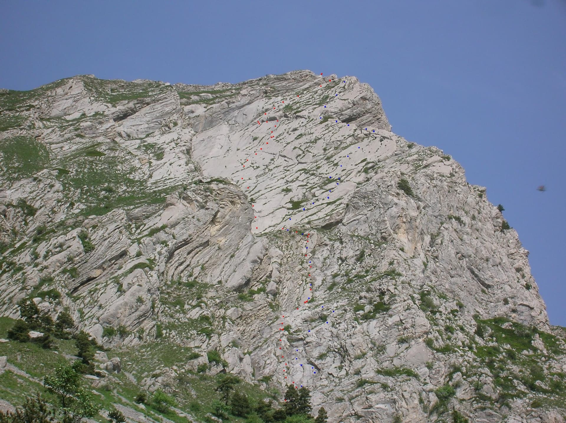
The east face of the Pic de l'Aiguille with two dotted route lines drawn by Serge Luby, one of the equippers. Camptocamp attaches the picture to both À l'aise Gleize and La Barule des Barulots without saying which colour is which.

France · Dévoluy

À l'aise Gleize

Twelve pitches of easy slab on water-worn runnels up the east face of the Pic de l'Aiguille, above Gap, finishing on a summit at 2140 m. Never harder than 5b and mostly 5a, but long: allow four to five hours. The bolts are well placed and spaced, the rock is very grippy, and stonefall from the ledges and from walkers on the summit is the main thing to watch.

5b12 pitches300 m

Read the cautions

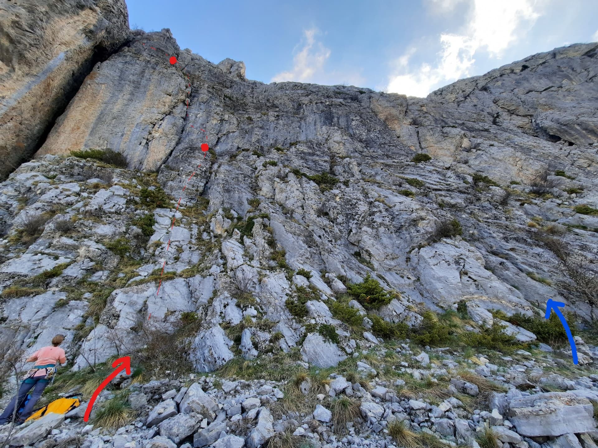
The foot of the south-west face of Pic Crillon. The blue arrow marks the start of Pas Gicon que ça (Gic'N'Roll); the red arrow and dots are its neighbour Gicon d'agneau.

France · Dévoluy

Pas Gicon que ça

Also known as Gic'N'Roll. A long, varied line up the south-west face of Pic Crillon, with the whole Dévoluy as a backdrop: flint-studded walls, a chimney, a fine layback corner and an airy spur, linked by easier and sometimes grassy pitches. By the easier variants it is a steady 5c outing; the original lines on pitches 6 and 10 add two 6a+ sections. You can walk off after pitch 8.

6a+11 pitches220 m

Read the cautions

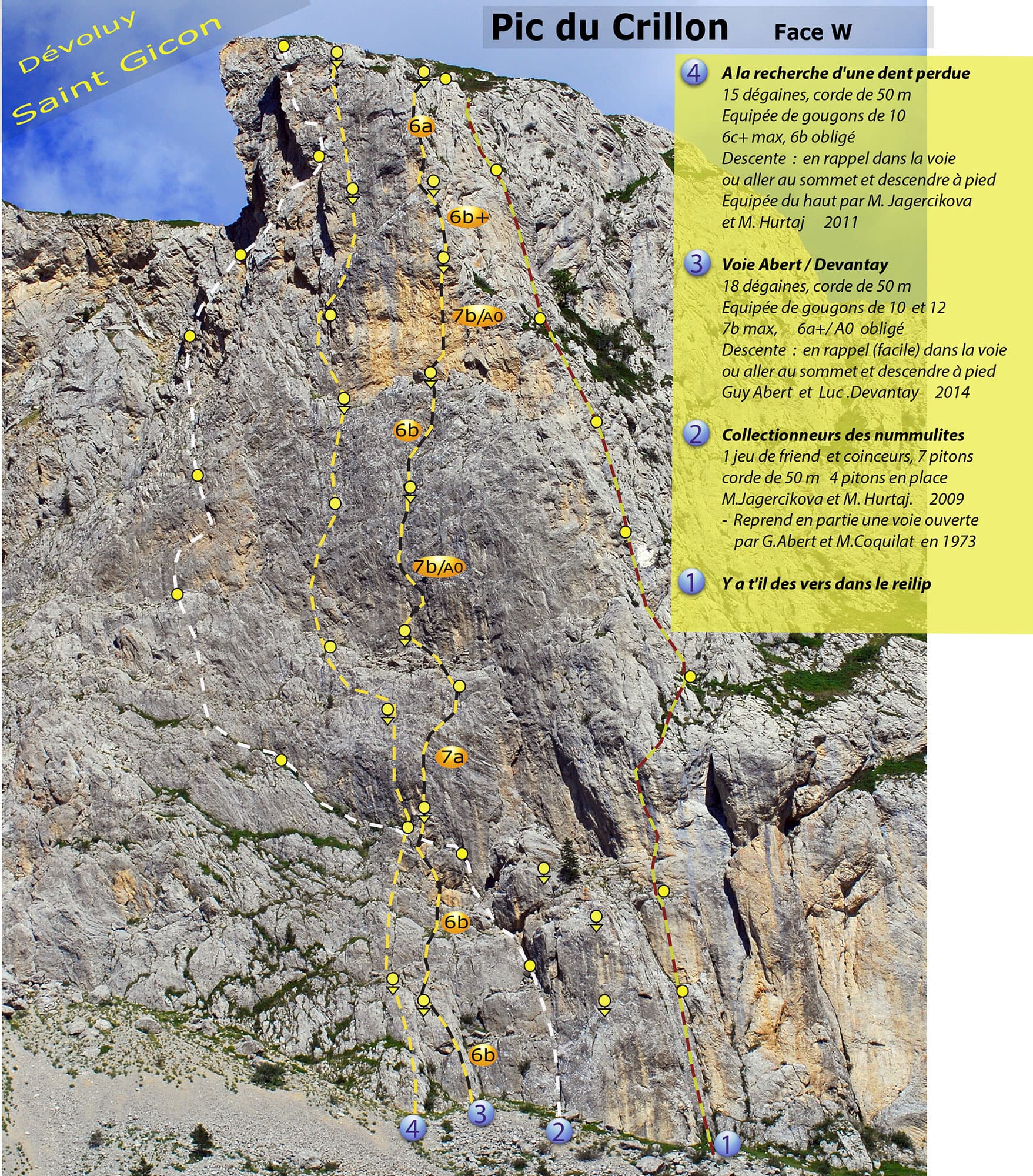
Photo-topo of the west face of Pic Crillon by Guy Abert. À la recherche de la dent perdue is line 4; the orange grade labels belong to line 3, the Abert-Devantay.

France · Dévoluy

À la recherche de la dent perdue

Steep, technical wall climbing up the west face of Pic Crillon on heavily sculpted limestone: seven pitches between 6a+ and 6c+ after an easy start, with good holds and rests but little that can be aided. It stays in the shade until early afternoon, so it works in a heatwave. Come with a 6c level to enjoy it; 6b is obligatory.

6c+9 pitches250 m

Around 6b · about 6 pitches

Similar elsewhere

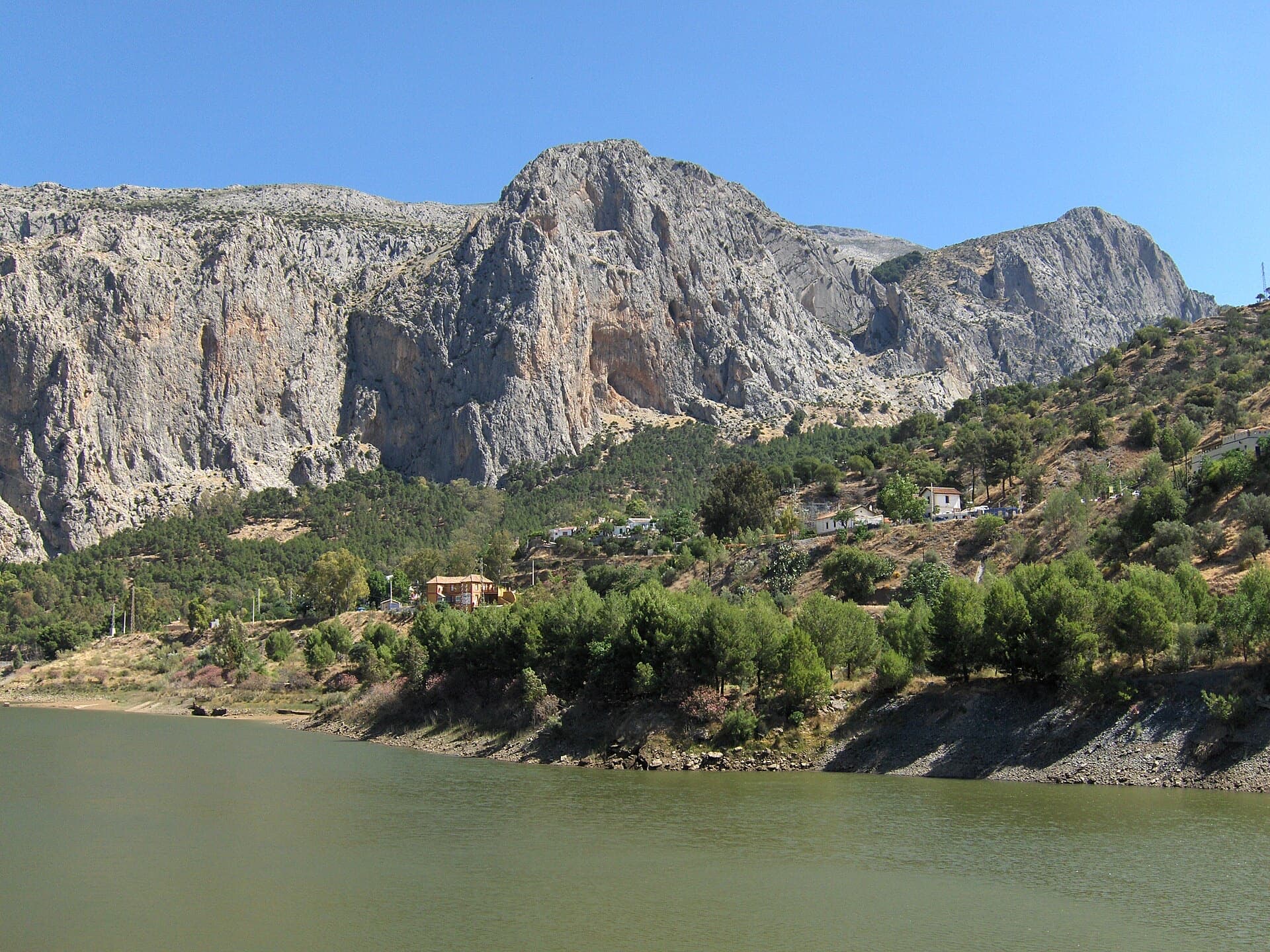
The Frontales cliffs above El Chorro seen across the Tajo de la Encantada reservoir, with the big Poema de Roca cave at the foot of the central dome. The Austria sector lies on the right-hand part of the cliff; the line is not marked.

Spain · El Chorro

Bombay Sapphire

A good continuation above Nitti. Highlights are a short, thin 6b slab on P4 and a pumpy steep start to the final 6a+ pitch.

6b6 pitches138 m

Read the cautions

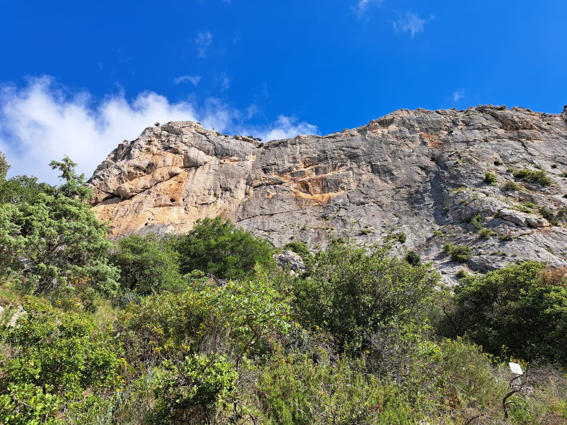
The south face of the Chaîne du Clapis above the Vistemboir sector, photographed from the approach by a party on the Diagonale des Vires Rouges, which slants left across the orange-streaked upper wall. The line is not marked.

France · Dentelles de Montmirail

La Diagonale des Vires Rouges

The best long outing on the Clapis south face: six pitches that start up easy slabs beside Vistemboir and then slant left across the orange ledges of the upper wall, with a horizontal crack traverse, a thin traverse on rough 'pebbledash' rock and a short, fierce 6b to finish. Technical climbing on very sculpted rock with plenty of atmosphere for a 150 m wall.

6b6 pitches150 m

The band of cliffs above the road upstream of the Todra narrows, the side of the valley on which the Mur du Scorpion lies.

Morocco · Todra Gorge (Todgha)

Prisa Mata

The most approachable route on the Scorpion wall. A thin 6a slab move on pitch 3 (A0 possible), then a jug-haul over a roof into a fine slab for the 6b. Some loose blocks at the top of the last pitch.

6b6 pitches150 m

Read the cautions

A view of the region, not this route's wall. The painted stone that marks the start of Strada del Sole at the foot of the Nösslachwand

Austria · Ötztal

Schwarze Madonna

A varied line between Südwind and Amelie: slabs, then steep but juggy gneiss, a short, very well-bolted overhang as the crux, and a very long traversing pitch to finish.

6b6 pitches215 m

Compiled from published sources and last verified October 2026. Bolts, anchors and access change. Climbing is dangerous and you are responsible for your own decisions: check a current topo and read the disclaimer.