Multipitch Atlas

Pas Gicon que ça

Pic Crillon (Le Piéroux) – Les Gicons · Dévoluy · France

Read the cautionsBail with caveatsBolting confidence: medium

Also known as Gic'N'Roll. A long, varied line up the south-west face of Pic Crillon, with the whole Dévoluy as a backdrop: flint-studded walls, a chimney, a fine layback corner and an airy spur, linked by easier and sometimes grassy pitches. By the easier variants it is a steady 5c outing; the original lines on pitches 6 and 10 add two 6a+ sections. You can walk off after pitch 8.

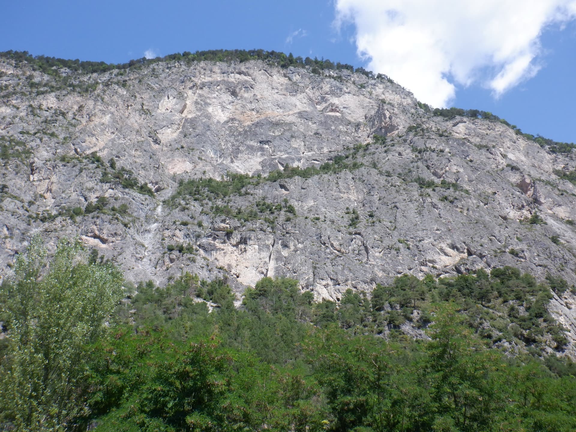
The foot of the south-west face of Pic Crillon. The blue arrow marks the start of Pas Gicon que ça (Gic'N'Roll); the red arrow and dots are its neighbour Gicon d'agneau.Photo: Bapt05 · CC BY-SA 3.0

Photo

The foot of the south-west face of Pic Crillon. The blue arrow marks the start of Pas Gicon que ça (Gic'N'Roll); the red arrow and dots are its neighbour Gicon d'agneau.Photo: Bapt05 · CC BY-SA 3.0
Hardest pitch
6a+
Pitches
11
Length
220 m
Approach
35 min
Aspect
SW
South-west-facing
Rope
1×50 m
Read before you go

Good bolts on the pitches, but two belays rely on a tree or a spike and the rest need your own cord, and the upper rock is loose in places.

The route

Overview

Pic Crillon, also called Le Piéroux, is the tower above the sport crag of Les Gicons, facing the Obiou, the Grand Ferrand and the Pic de Bure. Pas Gicon que ça starts right of a prow of yellow rock and works up the face in eleven pitches, of which seven give real climbing and four are links. Pitches 1, 5, 6 and 7 are the good ones: a wall on flints, a layback corner under a roof, a pillar and a wandering spur. The rock is good on the whole, with holds to test here and there and a looser top section. It is a mountain-flavoured outing more than a sport route, and a popular one.

The climbing

Pitch by pitch

Pitches of Pas Gicon que ça
PitchGradeLengthNotes
P15c40 mGrey slabs with short steps, odd at first, then easier, then a superb wall on flints, traversing up right to a tree in a very wide crack. Use long quickdraws: there is rope drag. The belay is one bolt and the tree.
P24c20 mClimb the chimney above, then traverse left along a ramp and ledge to a belay on a ledge.
P35b35 mA small slab, then turn a little overhang on the right on good holds (5b). Ramps and grassy ledges with a few steps of 4a lead to a small spur and a terrace below another spur. The most vegetated pitch.
P43c30 mUp right of the spur, regain its crest and climb a slab on the left to a belay on the slab.
P55c25 mTraverse left to a corner and climb it by a fine layback and bridging to a roof, then traverse left along a ledge to a comfortable belay. The best pitch.
P66a+35 mThe original line climbs the crack straight above (6a+, or 5c and A0), steps 5 m left and continues straight up at 6a. The usual variant, which camptocamp recommends, is 5b+: traverse left for 5 m, climb straight up for 15 m and traverse right to the belay. Belay on a slab at 25 m, or better 10 m further at the foot of a spur beside a deep cleft. Parties in 2026 avoided the 6a+ because of poor rock.
P75c40 mClimb the spur, weaving right then left, to its top. A 2025 party found the belay to be one bolt and a spike and carried on along the arête instead.
P84a25 mFollow the arête for 10 m, climb down 2 m on the right and step across a deep cleft. Belay 10 m beyond. You can walk off here up the stony gully to the meadow.
P94b40 mCross the grassy gully leftwards and climb grassy steps on its true right to the crest of the summit spur. Handle the rock with care.
P105c+40 mThe left-hand variant: start slightly left and climb a fairly sustained pitch to a belay shared with Gicon d'agneau. The original right-hand line follows a rising ramp right of the crest at 6a+ (30 m).
P113a40 mFollow the arête as best you can to the summit grass. Belay on two bolts where the crest lies back, or 10 m further with a sling on a spike.

Getting there

Approach

To the parking

From Corps on the N85 (Grenoble to Gap) cross the Sautet dam and drive up the Souloise gorge, beneath the Gillardes walls, to Saint-Disdier. Continue on the D917 towards Saint-Étienne-en-Dévoluy and after about 1 km take a small road on the left, past the 11th-century chapel known as the Mère Église, to the upper hamlet of Les Hauts Gicons. Turn right in the hamlet and park about 200 to 300 m further on at the large car park by the telecom mast (1362 m). There is no public transport. In June 2026 a party found the mast car park closed for works and parked a little further on.

On foot · about 35 min

From the car park follow the path signed to the Gicons climbing site (wooden signs), straight up to the right-hand end of the cliff, then left along its foot, climbing gently. After about 60 m you pass below the corner where Le Rêve de Noémie starts. At a junction with a board naming the sectors, keep left on the level towards the long routes until you find two cairns, 15 m from a prow of yellow rock. 'PAS GICON QUE CA...' is written clearly at the foot. Gicon d'agneau starts 15 m to the left. Allow 30 to 45 minutes; do not take the turning to the Jardin Suspendu sector.

Map of the walk-in

  • Crag
  • Parking

Loading map

The point marks the crag, not the exact start of the route.

Coordinates · crag

44.74486, 5.91291

Parking

44.73579, 5.90940

Les Hauts Gicons, car park by the telecom mast (camptocamp waypoint 124724)

Point from camptocamp waypoint 41623 (Pic Crillon summit)

For your phone or watch

Download GPX

Contains the route point and parking. Opens in most mapping apps and GPS watches.

Points are compiled from published sources, with the precision stated above. They were not surveyed on the ground: check them against a current topo.

Getting down

Descent

Walk about 50 m up towards the summit and find an abseil station on the right, marked by a cairn. Abseil 25 m down the east side of the Piéroux. Reach the meadow to the east and go down due south along the cliff. Then either follow the well-marked path and cairns down the gully back to the approach path and car park, or, to return to the foot of the routes, go down a grassy combe on the right and make a second 25 m abseil to the Jardin Suspendu sector. Allow 45 to 50 minutes.

Retreat

Bailing off the route

Bail with caveats

There is a stated walk-off after pitch 8, up a stony gully to the summit meadow, which misses out the last three pitches. Lower down, retreat means abseiling from two-bolt belays that are not linked or chained, leaving gear, and the first pitches traverse.

Retreat from
After pitch 8 on foot. Below that, from any belay by abseil with your own maillons.
Point of no return
Not documented. From about pitch 6 it is probably quicker to climb to the pitch 8 walk-off than to abseil the wandering lower pitches (inferred).
Carry
Maillons and cord for the belays. Pitches are up to 40 m, so a single 50 m rope will not reach from every belay.
Basis
Part stated, part inferredThe pitch 8 escape is stated on camptocamp and grandevoie.com and was used by a party in 2026; the abseil retreat lower down is inferred from the belay descriptions.

Partly inferred from the route facts

Safety

Hazards

  • Belays: one bolt and a tree at R1, one bolt and a spike reported at R7, and unlinked bolts elsewhere. Cord left in place was found sun-bleached and unusable in June 2026.
  • The top of the route is less compact. Stones move, and a 2025 climber had a good-sized hold come away in the hand.
  • Poor rock on the original 6a+ line of pitch 6.
  • Rope drag on pitches 1, 6 and 7.
  • Storms: the face is high and exposed. An August 2026 party used the walk-off after pitch 8 when thunder started at 11:30.

Sun and weather

Conditions

South-west facing between about 1600 m and 1830 m. The face stays in the shade until about midday in summer; a party starting at 9:00 in July 2026 was in the shade as far as the seventh belay. It is hot in the afternoon. The cleft left of pitch 7 gives a cool draught in hot weather.

Usual season · May to Oct

Sun on the wall · SW-facing

Working out the sunlit hours for this month.

  • January: not yet worked out
  • February: not yet worked out
  • March: not yet worked out
  • April: not yet worked out
  • May (usual season): not yet worked out
  • June (usual season): not yet worked out
  • July (usual season): not yet worked out
  • August (usual season): not yet worked out
  • September (usual season): not yet worked out
  • October (usual season): not yet worked out
  • November: not yet worked out
  • December: not yet worked out

Sun on the wallDaylight, wall in shade● Usual season

Estimated from the wall's aspect only. Ignores surrounding terrain, gullies and the wall's exact shape. Clock times are local to the wall (Central European time), for the 15th of each month.

Climate figures for Dévoluy are not available yet

What to carry

Gear

A 50 m single rope and about 13 quickdraws, several of them extendable to limit rope drag. Slings or cord to join the belay bolts and to back up the spike at the seventh belay. Helmet.

Checklist

Quickdraws
13
Rope
1×50 m
Helmet
One each
Abseil device and prusik
The descent or the retreat involves abseiling
Maillons or spare karabiners
To leave behind if you retreat
Cord
Mentioned for retreat

Derived from the route data; check it against a current topo

From climbers

Reader reports

Reader reports are not being collected yet. Until they are, check a current topo and the local club or guidebook publisher for recent changes to Pas Gicon que ça.

Worth knowing

Tips

  • Without the two harder variants the route is a homogeneous 5b to 5c+ outing, and most parties climb it that way.
  • The grandevoie.com topo treats the route as eight pitches to the walk-off, which takes about 50 minutes back to the car.
  • Parties report 3.5 to 5.5 hours for the full route.
  • Warm your shoes before pitch 1, which has several smeary steps.

Open questions

Where sources disagree

  • Grades and lengths: grandevoie.com (2015, before the re-equipment) gives 5c 45 m, 5a 30 m, 5b 35 m, 4b 30 m, 5c 25 m, 5c+ 32 m, 5c 40 m, 4a 20 m for the first eight pitches, with a maximum of 5c+ and 5b+ obligatory. Camptocamp grades pitch 2 at 4c, pitch 4 at 3c and the easy variant of pitch 6 at 5b+, and gives 6a+ for the original lines. Camptocamp is used.
  • Pitch count: 11 on camptocamp; a 2026 party says the paper guide uses fewer.
  • Rope: 1×50 m on camptocamp; grandevoie.com took a 2×45 m abseil rope.
  • Bolting: 'well placed but not excessively close' in 2015; 'top' and 'very good' in 2025 and 2026 after the re-equipment.

Provenance

Sources

Same area

More in Dévoluy

All routes in Dévoluy
The Petite Roche wall at Les Gillardes seen from the foot of the face; Les Maîtres du Jeu climbs it, the line is not marked.

France · Dévoluy

Les Maîtres du Jeu

A recent line that has quickly become the friendly way to discover Les Gillardes: 350 m of vertical walls on flint edges, with fair grades and reassuring bolts on a cliff known for neither. Long, continuous pitches of 6b and 6b+, one of 6c, and a conglomerate finish.

6c13 pitches350 m
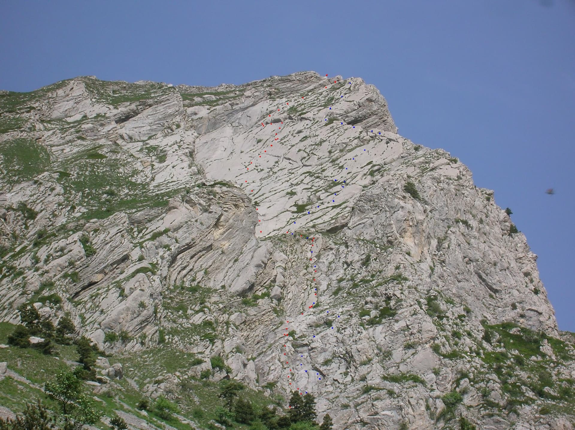
The east face of the Pic de l'Aiguille with two dotted route lines drawn by Serge Luby, one of the equippers. Camptocamp attaches the picture to both À l'aise Gleize and La Barule des Barulots without saying which colour is which.

France · Dévoluy

À l'aise Gleize

Twelve pitches of easy slab on water-worn runnels up the east face of the Pic de l'Aiguille, above Gap, finishing on a summit at 2140 m. Never harder than 5b and mostly 5a, but long: allow four to five hours. The bolts are well placed and spaced, the rock is very grippy, and stonefall from the ledges and from walkers on the summit is the main thing to watch.

5b12 pitches300 m

Read the cautions

Le Rêve de Noémie drawn in red on the Gicons cliff, following the big slanting crack-chimney, with the belays marked

France · Dévoluy

Le Rêve de Noémie

Six closely bolted pitches beside the great diagonal crack-chimney that splits the Gicons cliff, visible from the car park. Four pitches at about 5b on very grippy limestone lead to a crux where you either cross the chasm on two moves of 6b (or with the aiders in place) or climb the corner at 6a. Short, shaded until midday, and a good introduction to the Dévoluy.

6b6 pitches150 m

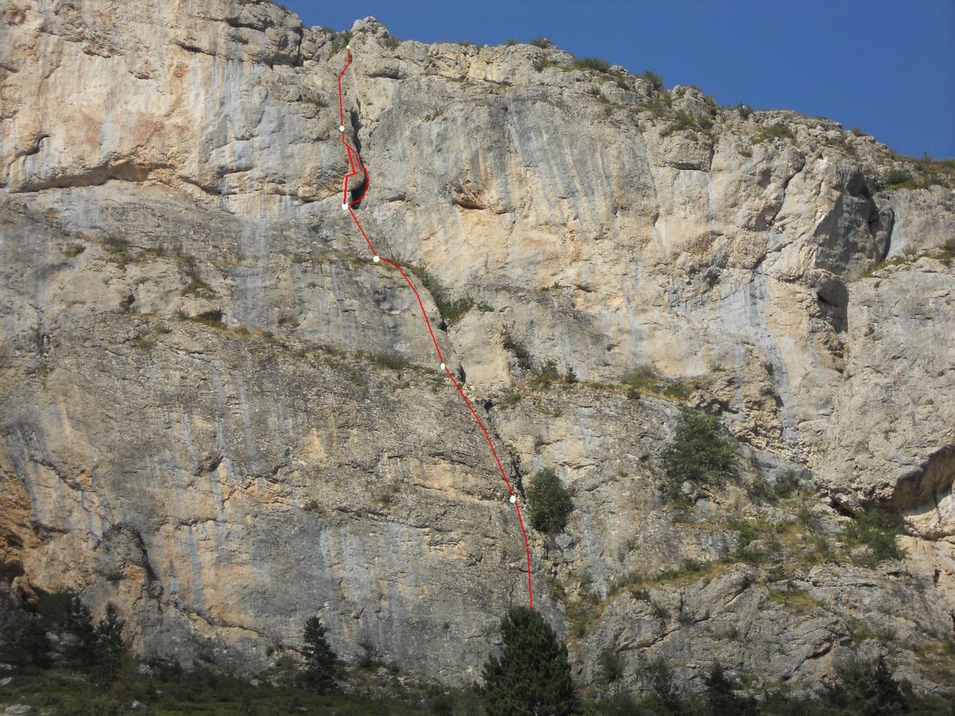
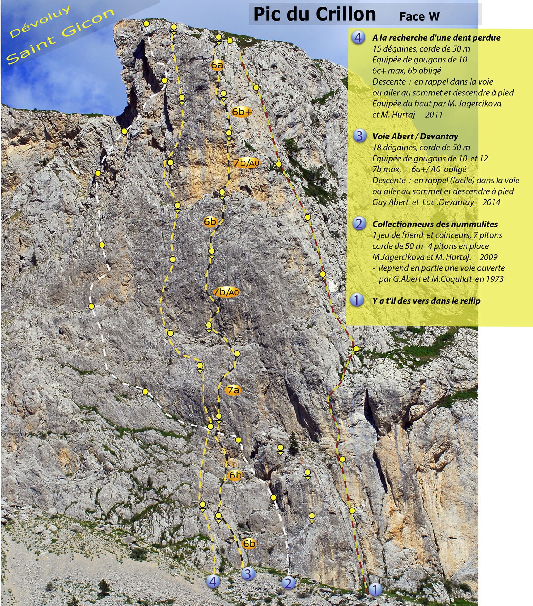
Photo-topo of the west face of Pic Crillon by Guy Abert. À la recherche de la dent perdue is line 4; the orange grade labels belong to line 3, the Abert-Devantay.

France · Dévoluy

À la recherche de la dent perdue

Steep, technical wall climbing up the west face of Pic Crillon on heavily sculpted limestone: seven pitches between 6a+ and 6c+ after an easy start, with good holds and rests but little that can be aided. It stays in the shade until early afternoon, so it works in a heatwave. Come with a 6c level to enjoy it; 6b is obligatory.

6c+9 pitches250 m

Around 6a+ · about 11 pitches

Similar elsewhere

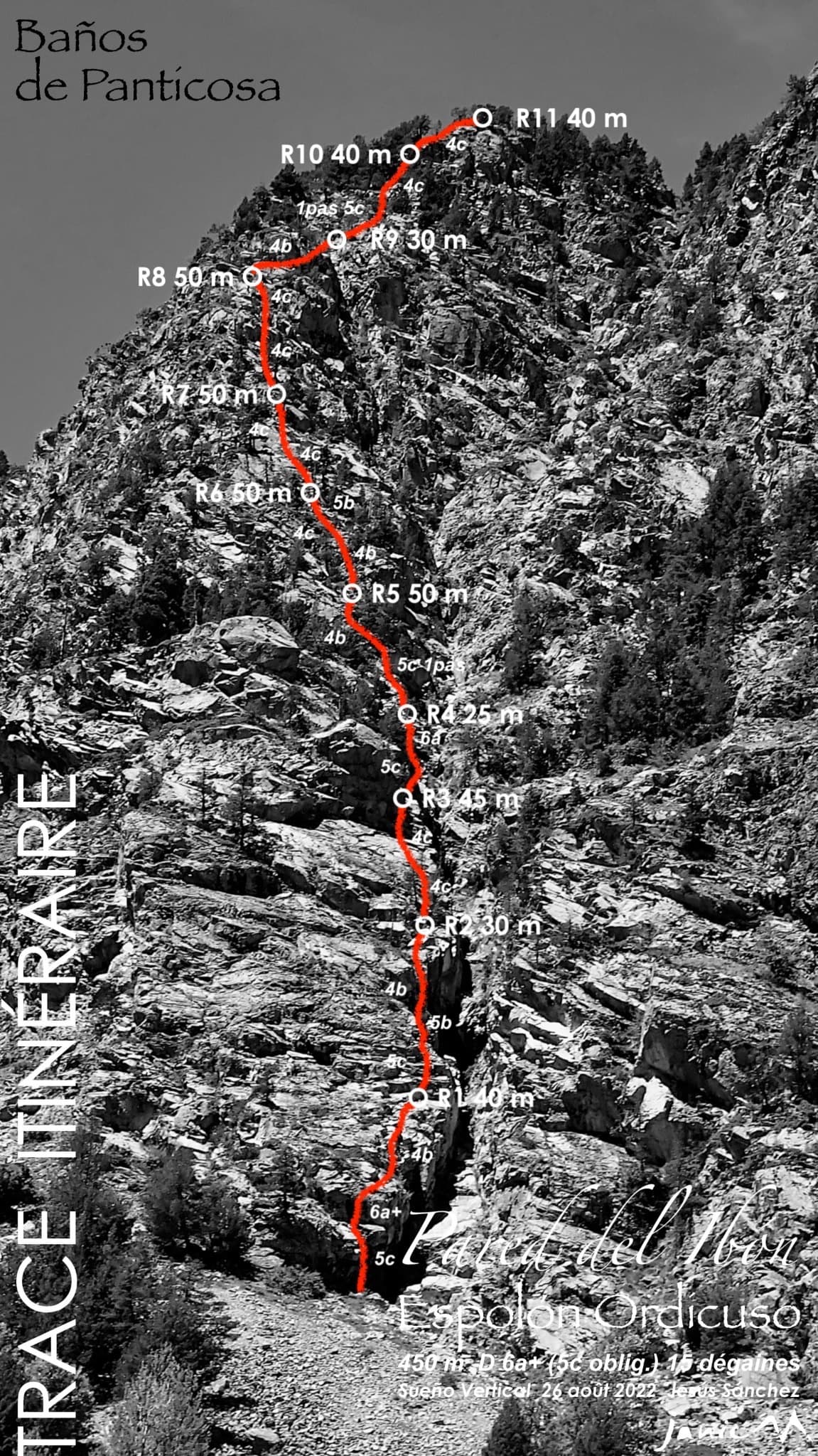
The Ordicuso spur above Baños de Panticosa with the line, belays and pitch grades of Espolón Ordicuso

Spain · Aragonese Pyrenees (Tena & Canfranc valleys)

Espolón Ordicuso

A 450 m granite spur above the lake at Baños de Panticosa, the opener's answer to anyone wanting a long, easy, bolted mountain route. Most of it is 4c to 5a on slabs, steps and short walls, with isolated moves of 5c to 6a+ that all have a cord on the bolt. Not steep or sustained, but a full day out that ends five minutes from the Ordicuso lakes.

6a+11 pitches450 m

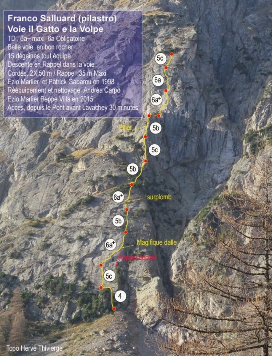
Topo of Il Gatto e la Volpe on the Pilier Franco Salluard, Val Ferret

Italy · Aosta Valley

Il Gatto e la Volpe

Rated 'great' on camptocamp: a wild setting with a short, easy approach from Lavachey. It climbs edgy granite slabs and a pillar crest, with a three-star exposed slab on P9.

6a+11 pitches350 m

The Geierwand above Haiming seen from the car park; Alhambra climbs the full height of the wall, crossing the vegetated ledge at mid-height

Austria · Inntal (Haiming Geierwand)

Alhambra

The longest route on the Geierwand and its most popular easy outing: rough slabs low down, a walk across the big ledge, then steeper, pocketed and more exposed climbing above. The crux is a short traverse to the belay on pitch 10. The last two pitches are scrambling over loose ground.

6a+12 pitches430 m

The big orange limestone wall of the Sierra de Callosa directly above Redován, seen from the edge of the village.

Spain · Vega Baja (Orihuela & Callosa)

Botri

The classic of Redován: ten pitches and 300 m of steady grade 5 with three steeper pitches on red rock. The eighth pitch, a traverse right into an overhanging corner above the orange cliffs, is the one people remember. Closed from January to June for nesting eagles.

6a+10 pitches300 m

Compiled from published sources and last verified October 2026. Bolts, anchors and access change. Climbing is dangerous and you are responsible for your own decisions: check a current topo and read the disclaimer.