Multipitch Atlas

Espolón Ordicuso

Espolón de Ordicuso (left of the Pared del Ibón), Baños de Panticosa · Aragonese Pyrenees (Tena & Canfranc valleys) · Spain

Bail with caveatsBolting confidence: high

A 450 m granite spur above the lake at Baños de Panticosa, the opener's answer to anyone wanting a long, easy, bolted mountain route. Most of it is 4c to 5a on slabs, steps and short walls, with isolated moves of 5c to 6a+ that all have a cord on the bolt. Not steep or sustained, but a full day out that ends five minutes from the Ordicuso lakes.

The Ordicuso spur above Baños de Panticosa with the line, belays and pitch grades of Espolón OrdicusoPhoto: janic · CC BY-SA 3.0

Topo

The Ordicuso spur above Baños de Panticosa with the line, belays and pitch grades of Espolón OrdicusoPhoto: janic · CC BY-SA 3.0
Hardest pitch
6a+
Pitches
11
Length
450 m
Approach
25 min
Aspect
SE
South-east-facing
Rope
2×60 m

The route

Overview

Espolón Ordicuso follows the spur framed by two gullies on the left of the Pared del Ibón, the wall you see ahead as the road reaches the old bottling plant below Baños de Panticosa. The opener gives the average difficulty as grade IV with isolated harder moves, none of them obligatory: a short 6a+ wall on pitch 1, an undercut 6a move on pitch 4 and single 5c steps on pitches 2, 5 and 10. The rock is good granite with some lichen and loose stones on the ledges. Repeat parties agree on the generous bolting and on the lack of continuity; several moved together from pitch 5 to the top. It finishes on a crest a few minutes from the Ibones de Ordicuso.

The climbing

Pitch by pitch

Pitches of Espolón Ordicuso
PitchGradeLengthNotes
P16a+40 mA short corner of 5c, then a small wall of 6a to 6a+, then easy ground (4b to 5a).
P25c30 mOne 5c move at the start, then grade 4.
P34c45 mA pleasant easy-angled slab.
P46a25 mAt the second bolt, which has a cord, it is easier to traverse right below it. At the end of the pitch, before the 'garden', an undercut move of 6a on a small flake. A 2024 party belayed on a small tree just above this wall.
P55c50 mOne 5c move, the rest grade 4.
P65a50 mGrade 4 with a move of 4c to 5a. The belay is on a small terrace that one party used as a lunch stop.
P74c50 mEasy climbing. Two parties did not find the belay at the top of this pitch and ran pitches 7 and 8 together.
P84c50 mHalf way up, at a vertical step above a small ledge, a bolt has a cord on it: go round to the left there, not straight up.
P94b30 mThe traverse right begins. In the second half take the grassy ledge that leads right; do not continue straight up or left.
P105c40 mOne 5c move at the start, which tempts you round to the left but goes direct. The belay is on a tree; you can also belay on another tree about 10 m higher. camptocamp gives 30 m, the opener 40 m.
P114c40 mA last easy pitch to the crest.

Getting there

Approach

To the parking

Drive up the Tena valley through Panticosa towards Baños de Panticosa. Just before the lake, by the abandoned bottling plant and the big concrete structure built as a car park, there is a large parking area on the right that does not fill up like the Balneario car parks; the spur is visible from the car. You can also park at the Balneario and walk back, since the descent comes down the Garmo Negro path at the resort.

On foot · about 25 min

20 to 30 min. From the bottling-plant parking, cross the road parapet just after the bridge over the Caldarés river (cairn; you step over the low stone and concrete wall on the left) and follow cairns steeply up scree to the foot of the wall. The route starts a little right of the spur, beside the gully, at a bolt with a cord. A 2025 party describes the start as a black streak where water runs, with damp first moves.

Map of the walk-in

  • Crag
  • Parking

Loading map

The point marks the crag, not the exact start of the route.

Coordinates · crag

42.75546, -0.24472

Parking

42.75957, -0.23461

Baños de Panticosa (camptocamp access waypoint 131736). The opener parks lower, at the old bottling plant just before the lake.

Point from camptocamp route 1575334 point (the route has no crag waypoint and only one linked waypoint, so this is not a midpoint); not checked against a second source

For your phone or watch

Download GPX

Contains the route point and parking. Opens in most mapping apps and GPS watches.

Points are compiled from published sources, with the precision stated above. They were not surveyed on the ground: check them against a current topo.

Getting down

Descent

At the last belay unrope and scramble about 20 m up the crest (cairns) to the path with blue-and-white marks that leads to the Ibones de Ordicuso. The quickest way down is to turn right (north) straight away, about 1 h to the road by the Garmo Negro path. To visit the lakes, five minutes away, follow the path the other way; a second cairned path loops back from the lakes, so you do not need to retrace your steps. To get back round the lake to the car, use the road or the path on the far shore, which rejoins the tarmac by a footbridge.

Retreat

Bailing off the route

Bail with caveats

The opener states that the belays are equipped for abseiling if you have to give up. In practice some belays are on trees, pitches are up to 50 m and several parties could not find belays 7 to 9, so a retreat from high up needs two 60 m ropes and care. From the upper pitches it is quicker to finish.

Retreat from
Any belay, most cleanly from R1 to R6
Point of no return
None stated
Carry
2×60 m ropes; slings or cord for tree anchors
Basis
Stated in the sourcesStated by the opener on the Sueño Vertical blog; the caveats come from 2024 and 2025 camptocamp outings.

Safety

Hazards

  • Loose stones on the ledges; the opener says the belays are placed out of the fall line.
  • The belays at the top of pitches 7 to 9 are easy to miss, and some may be simple slings on trees: parties in 2024 and 2025 ended up belaying on other trees or moving together.
  • Rope drag on the long easy pitches; use long slings.
  • With snow on the plateau the descent path is hard to find.

Sun and weather

Conditions

The spur runs from about 1640 m to 2060 m. It gets morning sun; in late October it was in shade from about 15:00 and in November for most of the day. It has been climbed from April (with snow on the plateau hiding the descent path) to November. After rain the sections that see no sun stay slippery.

Usual season · May to Oct

Sun on the wall · SE-facing

Working out the sunlit hours for this month.

  • January: not yet worked out
  • February: not yet worked out
  • March: not yet worked out
  • April: not yet worked out
  • May (usual season): not yet worked out
  • June (usual season): not yet worked out
  • July (usual season): not yet worked out
  • August (usual season): not yet worked out
  • September (usual season): not yet worked out
  • October (usual season): not yet worked out
  • November: not yet worked out
  • December: not yet worked out

Sun on the wallDaylight, wall in shade● Usual season

Estimated from the wall's aspect only. Ignores surrounding terrain, gullies and the wall's exact shape. Clock times are local to the wall (Central European time), for the 15th of each month.

Monthly climate averages for Aragonese Pyrenees (Tena & Canfranc valleys), 1991-2020
MeasureJanFebMarAprMay (usual season)Jun (usual season)Jul (usual season)Aug (usual season)Sep (usual season)Oct (usual season)NovDec
Mean daily high °C447914192222171375
Mean daily low °C−3−3−11591112850−2
Rain days 1 mm or more141314181816141413141413

● marks the usual climbing season. Averages for 1991-2020 at about 1564 m. Area climate from Open-Meteo reanalysis. Temperatures are adjusted to the height of the crag; rain comes from a grid cell of about 10 to 25 km, and summer highs on sea cliffs can read a few degrees low. The wall and valley can differ. Data: Open-Meteo, CC BY 4.0.

What to carry

Gear

About 15 quickdraws, several of them extendable, and a few slings or cords for the tree belays and to replace worn cord. camptocamp lists 2×60 m double ropes; a party with 2×50 m came up 5 m short when it had to link pitches. Helmet.

Checklist

Quickdraws
15
Rope
2×60 m
Helmet
One each
Slings
Mentioned for retreat
Cord
Mentioned for retreat

Derived from the route data; check it against a current topo

From climbers

Reader reports

Reader reports are not being collected yet. Until they are, check a current topo and the local club or guidebook publisher for recent changes to Espolón Ordicuso.

Worth knowing

Tips

  • The hard moves all go at A0 on the cords, which brings the obligatory grade down to about 5c (camptocamp).
  • Confident parties can clip every other bolt and move together above pitch 4: one party did the route in 2 h 30 that way, others took 5 to 6 h pitching it.
  • The detour to the Ordicuso lakes is worth the extra few minutes.

Open questions

Where sources disagree

  • Pitch 10 is 30 m on camptocamp and 40 m in the opener's list.
  • Approach: 20 min according to the opener, about 30 min for parties in 2024 and 2025.
  • Obligatory grade: camptocamp says 5c; the opener says none of the hard moves is obligatory.

Provenance

Sources

Same area

More in Aragonese Pyrenees (Tena & Canfranc valleys)

All routes in Aragonese Pyrenees (Tena & Canfranc valleys)
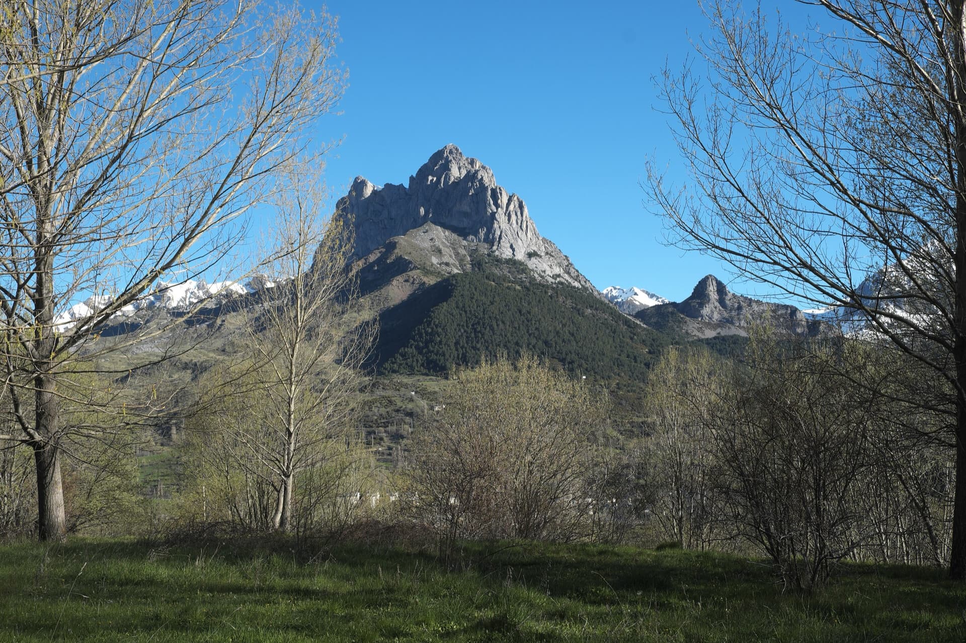
The twin limestone summits of Peña Foratata above the forest, seen from Sallent de Gállego in spring.

Spain · Aragonese Pyrenees (Tena & Canfranc valleys)

La Joya del Gállego

Varied, sustained limestone of chimneys, dihedrals and compact fluted slabs high above the Tena valley. Bearded-vulture nesting closes the face from 1 Dec to 31 Jul unless lifted early, so check montanaregulada.org.

6a+10 pitches265 m

Read the cautions
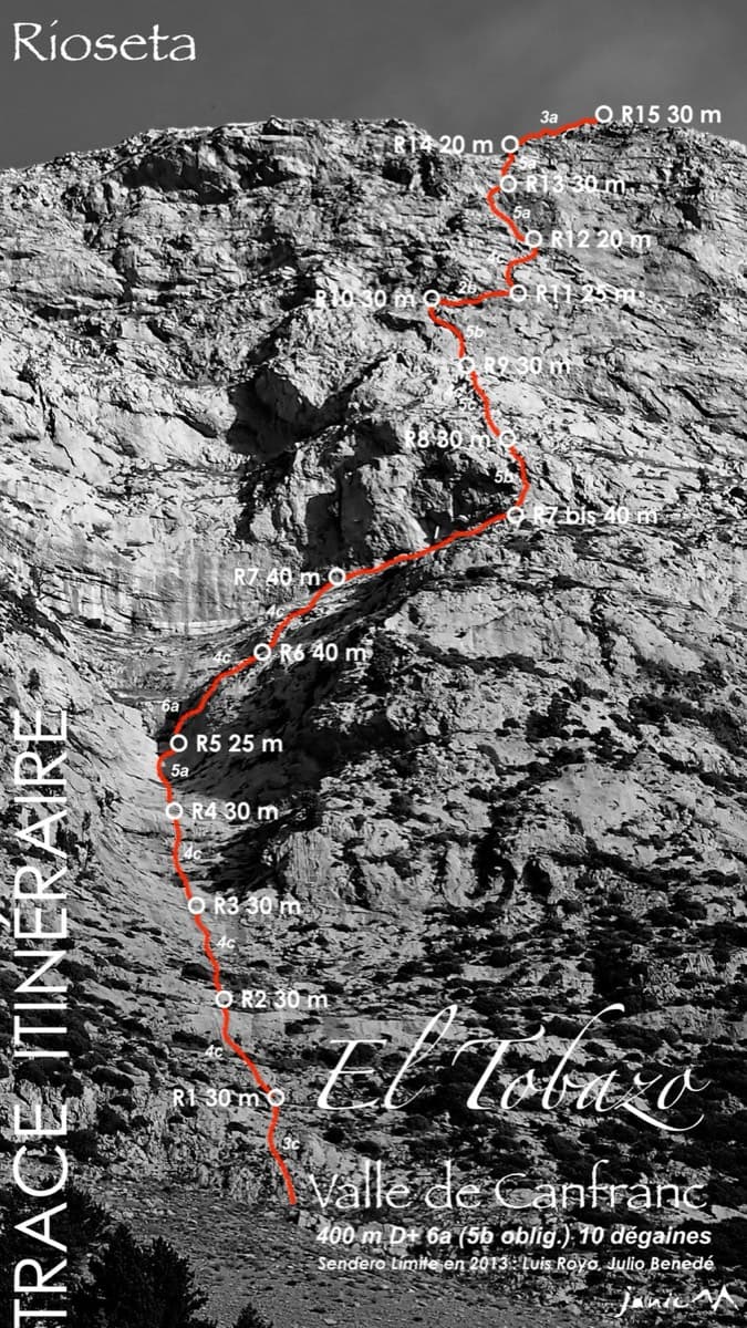
Topo of Valle de Canfranc on the south face of El Tobazo

Spain · Aragonese Pyrenees (Tena & Canfranc valleys)

Valle de Canfranc

A long, mostly easy slab-and-dihedral route with a single 6a slab on pitch 6, in a fine setting facing away from Candanchú. Wait about 30 h after rain because the lower gully drains water.

6a15 pitches400 m

Topo of Roca por un Tubo, Pared de la Tubería (Cerro Gascón), Baños de Panticosa

Spain · Aragonese Pyrenees (Tena & Canfranc valleys)

Roca por un Tubo

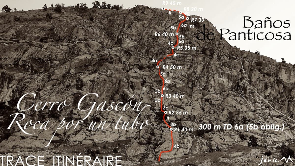
High-mountain granite slabs and dihedrals above the Panticosa spa. Three 6a cruxes mix friction slab with a short flaky roof on pitch 7.

6a9 pitches300 m

Read the cautions

The Pared del Ibón above Baños de Panticosa with the line and belays of Vía del Ibón

Spain · Aragonese Pyrenees (Tena & Canfranc valleys)

Vía del Ibón

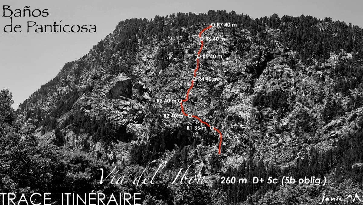
A mountain-style line on dark, weathered granite twenty-five minutes above the spa of Baños de Panticosa. It links ramps, a short overhanging break, slabs and a rounded boulder, with one well-bolted 5c move and the rest 4b to 5b. The rock between the good sections is earthy and lichenous, but the friction is excellent and the bolting generous.

5c7 pitches260 m

Around 6a+ · about 11 pitches

Similar elsewhere

Topo of Il Gatto e la Volpe on the Pilier Franco Salluard, Val Ferret

Italy · Aosta Valley

Il Gatto e la Volpe

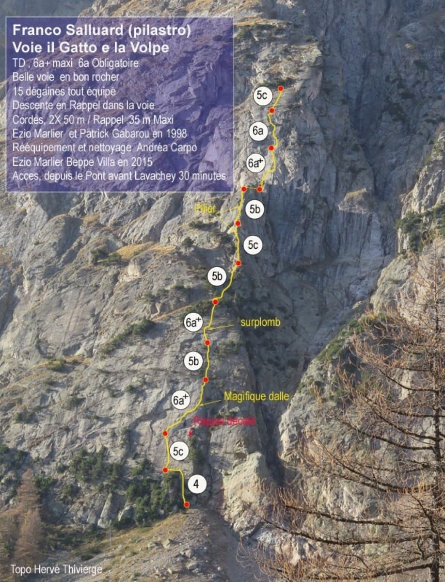
Rated 'great' on camptocamp: a wild setting with a short, easy approach from Lavachey. It climbs edgy granite slabs and a pillar crest, with a three-star exposed slab on P9.

6a+11 pitches350 m

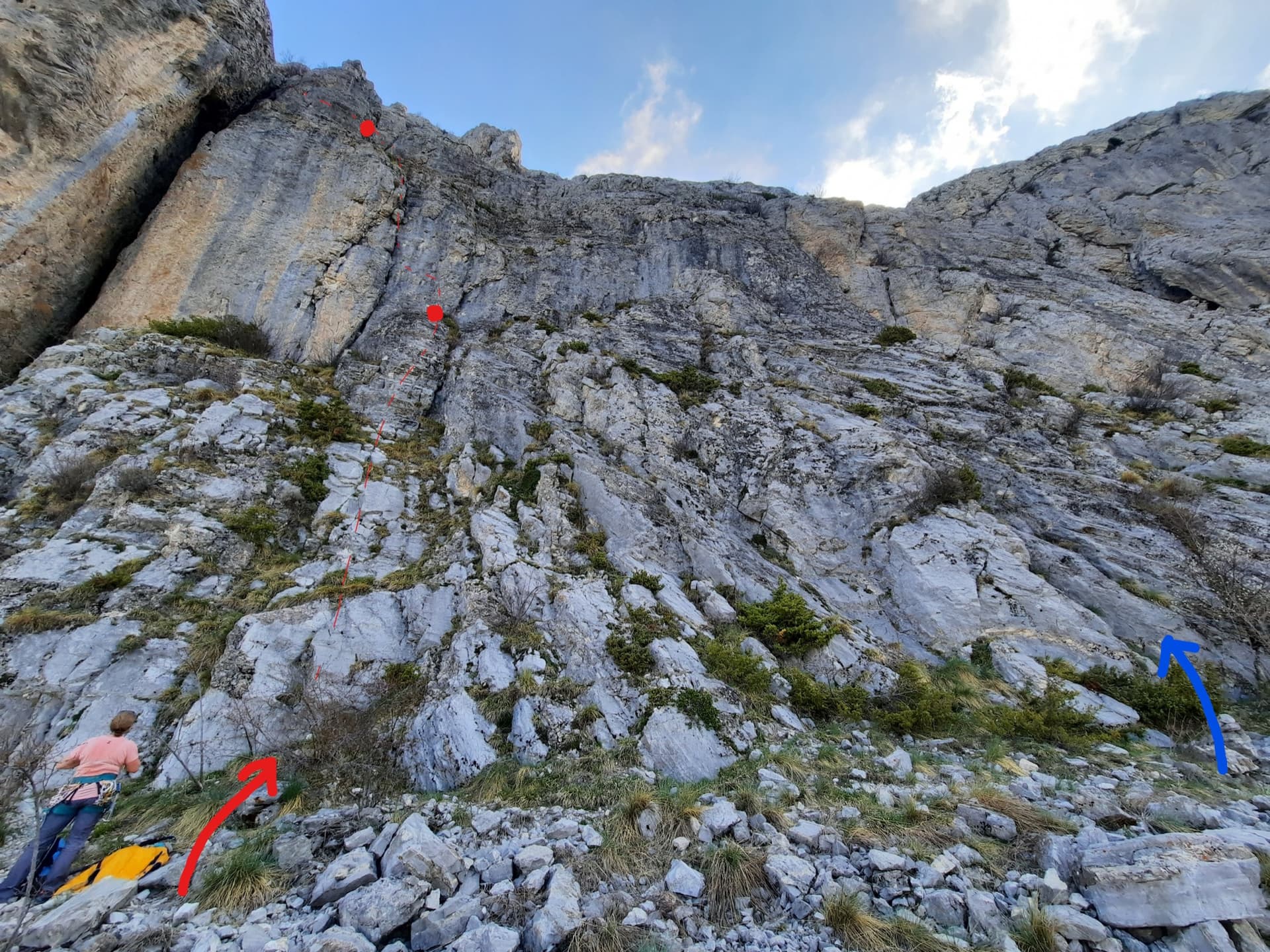
The foot of the south-west face of Pic Crillon. The blue arrow marks the start of Pas Gicon que ça (Gic'N'Roll); the red arrow and dots are its neighbour Gicon d'agneau.

France · Dévoluy

Pas Gicon que ça

Also known as Gic'N'Roll. A long, varied line up the south-west face of Pic Crillon, with the whole Dévoluy as a backdrop: flint-studded walls, a chimney, a fine layback corner and an airy spur, linked by easier and sometimes grassy pitches. By the easier variants it is a steady 5c outing; the original lines on pitches 6 and 10 add two 6a+ sections. You can walk off after pitch 8.

6a+11 pitches220 m

Read the cautions

The Geierwand above Haiming seen from the car park; Alhambra climbs the full height of the wall, crossing the vegetated ledge at mid-height

Austria · Inntal (Haiming Geierwand)

Alhambra

The longest route on the Geierwand and its most popular easy outing: rough slabs low down, a walk across the big ledge, then steeper, pocketed and more exposed climbing above. The crux is a short traverse to the belay on pitch 10. The last two pitches are scrambling over loose ground.

6a+12 pitches430 m

The big orange limestone wall of the Sierra de Callosa directly above Redován, seen from the edge of the village.

Spain · Vega Baja (Orihuela & Callosa)

Botri

The classic of Redován: ten pitches and 300 m of steady grade 5 with three steeper pitches on red rock. The eighth pitch, a traverse right into an overhanging corner above the orange cliffs, is the one people remember. Closed from January to June for nesting eagles.

6a+10 pitches300 m

Compiled from published sources and last verified October 2026. Bolts, anchors and access change. Climbing is dangerous and you are responsible for your own decisions: check a current topo and read the disclaimer.