Multipitch Atlas

Mario e Cecilia

Mont de Gnalle – Parete di Planaval (Planaval, Valgrisenche) · Aosta Valley · Italy

Bail with caveatsBolting confidence: high

Eight short, closely bolted pitches up the wall above the village of Planaval, with a wide view down the Valgrisenche. The hardest climbing comes first, on a steep and awkward wall, and again at two small overhangs on pitch 7; in between are easier slabs broken by ledges. A relaxed half-day at about 5c.

The wall above Planaval in the Valgrisenche with the line of Mario e CeciliaPhoto: 4Mousquetaix · CC BY-SA 3.0

Photo

The wall above Planaval in the Valgrisenche with the line of Mario e CeciliaPhoto: 4Mousquetaix · CC BY-SA 3.0
Hardest pitch
5c+
Pitches
8
Length
240 m
Approach
30 min
Aspect
SE
South-east-facing
Rope
1×60 m
walk-off

The route

Overview

Mario e Cecilia climbs the left part of the cliff that stands directly above Planaval, a small village on a shelf at the entrance to the Valgrisenche. The local team who opened it in 2018 also cut the approach path and equipped the walk-off. It is a modern plaisir route: short pitches, stainless bolts close together, and nothing harder than 5c+. The rock is sound gneiss but not as clean as the classic crags lower in the valley, with some lichen, earth and vegetation on the easier pitches. The line zigzags, which is why the walk-off is preferred to abseiling.

The climbing

Pitch by pitch

Pitches of Mario e Cecilia
PitchGradeLengthNotes
P15c+25 mA steep wall with an unobvious move, sustained from the first metres and a shock when cold. Many parties find this the crux of the route. The rock is only average here. Belay on the left on two linked bolts.
P25c30 mA wall with one harder friction move below a bush (a length of cord was in place to pull on), then a vegetated section and slabs at 5a.
P35b30 mA black slab at 5a, a step out left off the line at 5b, then more slab. One bolt on the first slab was moved to the right in 2020.
P44c25 mDiagonally left on easy slabs. Seepage after rain.
P54c+25 mA little left on easy ground, then a good vertical wall at about 5a (the 'red triangle').
P65a20 mGo left, then up a hidden slab that slants left to an exposed belay in a notch.
P75c+25 mThe best pitch. A slightly athletic overhang on good holds straight off the belay, a slab at 5a, a second small overhanging step, then right and up a slab. Rope drag is a problem if you do not extend the runners. A cord was in place on the first step. The two belay bolts are not linked.
P84c30 mStraight up above the belay, then easy-angled slabs to the top, finishing by a large boulder.

Getting there

Approach

To the parking

From Aosta take the A5 or the main road west to Arvier, turn into the Valgrisenche on the SR25 and, about 10 km from Arvier, turn right at the signs for Planaval. Park in the car park at the entrance to the village (about 1560 m). A regional bus from Aosta via Arvier towards Valgrisenche stops at Planaval. The Hotel Paramont in the village has a bar and restaurant.

On foot · about 30 min

About 30 min. Walk through the village on the main street, take the lane beside the church and go left. Just after a fountain the road ends and a path starts into a wood of old larches. At the level of a ruin, after a hairpin, a smaller path turns off right; the junction has a cairn on each side. Further on a large boulder carries red and white GR paint, a yellow stripe and the letters VMC in fading yellow, and later a big yellow arrow points up and right. Keep right at each cairned fork and climb steep grass to the foot of the wall, where a plaque marks the start on a small grassy ledge. The yellow marks are faint in places and several parties have lost the path; the GPS track on the camptocamp page is reported accurate.

Map of the walk-in

  • Route base

Loading map

The point marks the base of the route.

Coordinates · route base

45.67535, 7.07590

Point from camptocamp route 1047391 GPS track (last point before the climb; a 2025 party confirms the track is accurate)

For your phone or watch

Download GPX

Contains the route point. Opens in most mapping apps and GPS watches.

Points are compiled from published sources, with the precision stated above. They were not surveyed on the ground: check them against a current topo.

Getting down

Descent

On foot, 35 to 40 min. From the last belay go up steep grass for 50 to 60 m to a ruined building. A small path leaves on the left, a few metres below the ruin, and follows the edge of the cliff to a little notch, with a section cut into the rock and protected by a fixed rope. Continue down steep meadows, pass a section of landslip with another fixed rope, and you soon reach the larch wood just above the village. Cairns mark the way.

Retreat

Bailing off the route

Bail with caveats

The route can be abseiled, and gulliver.it says a single 60 m rope is enough because no pitch is longer than 30 m. Camptocamp advises against it: the belays are often well off line, and each has only one ring with the two bolts joined by old cord. Treat abseiling as a retreat option, not as the descent.

Retreat from
Any belay, with care on the diagonal pitches (4, 5 and 6 all trend left).
Point of no return
None stated. From the top of pitch 6 only two pitches remain and the walk-off is quick, so finishing is usually simpler; the pitch 7 overhangs have close bolts and can be aided.
Carry
A 60 m rope, plus cord or slings and a maillon to link the belay bolts before you abseil from them.
Basis
Stated in the sourcesGulliver.it (first ascensionist) states that abseiling with one 60 m rope is possible; camptocamp states the belay hardware and advises against abseiling.

Safety

Hazards

  • Most belays are two bolts joined by old cord, with a ring on only one bolt, and at pitch 7 the bolts are not linked at all. Build your own belay with a sling instead of trusting the cord.
  • The start of the walk-off, before the fixed rope begins, is exposed.
  • Lichen, moss and earthy ledges on the easier pitches; holds can be dusty. The slabs are broken by ledges, so a fall on the easy pitches could hit one.
  • The approach path is easy to lose. If you find yourself pushing through brambles straight up the slope, you have missed a right turn.

Sun and weather

Conditions

South-east facing, from about 1750 to 1950 m, and in the sun from early morning. Late spring, early summer and autumn are best; a September 2022 party advises avoiding high summer because the wall heats up quickly, and an August 2025 party found it rather too warm. Pitch 4 seeps for a day after rain. Allow 2 h 30 min to 4 h for the climb.

Usual season · May to Jun, Sep to Oct

Sun on the wall · SE-facing

Working out the sunlit hours for this month.

  • January: not yet worked out
  • February: not yet worked out
  • March: not yet worked out
  • April: not yet worked out
  • May (usual season): not yet worked out
  • June (usual season): not yet worked out
  • July: not yet worked out
  • August: not yet worked out
  • September (usual season): not yet worked out
  • October (usual season): not yet worked out
  • November: not yet worked out
  • December: not yet worked out

Sun on the wallDaylight, wall in shade● Usual season

Estimated from the wall's aspect only. Ignores surrounding terrain, gullies and the wall's exact shape. Clock times are local to the wall (Central European time), for the 15th of each month.

Monthly climate averages for Aosta Valley, 1991-2020
MeasureJanFebMarAprMay (usual season)Jun (usual season)JulAugSep (usual season)Oct (usual season)NovDec
Mean daily high °C−20371117202016103−1
Mean daily low °C−8−8−5−148111172−4−8
Rain days 1 mm or more121112131616151312121312

● marks the usual climbing season. Averages for 1991-2020 at about 1489 m. Area climate from Open-Meteo reanalysis. Temperatures are adjusted to the height of the crag; rain comes from a grid cell of about 10 to 25 km, and summer highs on sea cliffs can read a few degrees low. The wall and valley can differ. Data: Open-Meteo, CC BY 4.0.

What to carry

Gear

12 quickdraws (some take 14), with a few long ones for pitch 7. A single 60 m rope is enough for the walk-off; two 50 m ropes help with rope drag on the zigzagging pitches. Take a length of cord and a couple of slings to link the two bolts at belays where the fixed cord is old or missing. Cams and nuts are of no use. Helmet.

Checklist

Quickdraws
12
Rope
1×60 m (walk-off)
Helmet
One each
Slings
Mentioned for retreat
Maillons or spare karabiners
To leave behind if you retreat
Cord
Mentioned for retreat

Derived from the route data; check it against a current topo

From climbers

Reader reports

Reader reports are not being collected yet. Until they are, check a current topo and the local club or guidebook publisher for recent changes to Mario e Cecilia.

Worth knowing

Tips

  • Do not judge the route by pitch 1: it is the hardest thing on it, and the bolts are close enough to rest on.
  • Extend the runners on pitch 7: a September 2026 party warns about rope drag there.
  • Gulliver.it lists La Fête du Village (6a, 5c obligatory) on the same wall and Calimero (6a) at the Nid des Hirondelles, about 5 km up the valley, if you want more at a slightly harder grade.

Open questions

Where sources disagree

  • Grade: camptocamp's French page gives 5c+ for pitches 1 and 7 (used here); gulliver.it, vielunghe.com and Thivierge's topo give 5c maximum. Obligatory grade is 5b (camptocamp), 5a (gulliver.it) or 5c (vielunghe.com).
  • Easier pitches are graded about half a grade lower on gulliver.it and vielunghe.com: 5c, 5c, 5a, 4b, 5a, 4b, 5c, 4c.
  • Aspect: south-east (camptocamp), south (vielunghe.com), east (gulliver.it). All agree it gets the morning sun.
  • Abseiling: gulliver.it says the route can be abseiled with a single 60 m rope; camptocamp and a 2020 party advise against it because the belays are well off line.
  • Belays: vielunghe.com (2018) describes most as two linked bolts; camptocamp says they are linked only by a loop of rope with a single ring.

Provenance

Sources

Same area

More in Aosta Valley

All routes in Aosta Valley
A climber on the sweeping gneiss slab of Bucce d'Arancia on the Paretone di Arnad (Corma di Machaby), with the Dora Baltea valley in shadow far below.

Italy · Aosta Valley

Bucce d'Arancia

This is the most-climbed route on the Paretone. It gives sustained, varied slab and crack climbing on good gneiss, and the hardest moves are a fine crack on P2, a slanting corner and a punchy wall. Queues are common on good days. The Mani Nude guidebook grades it stiffly; camptocamp's Italian page calls it sustained at 5b–5c+ with a single 6a.

6a10 pitches290 m

Read the cautions
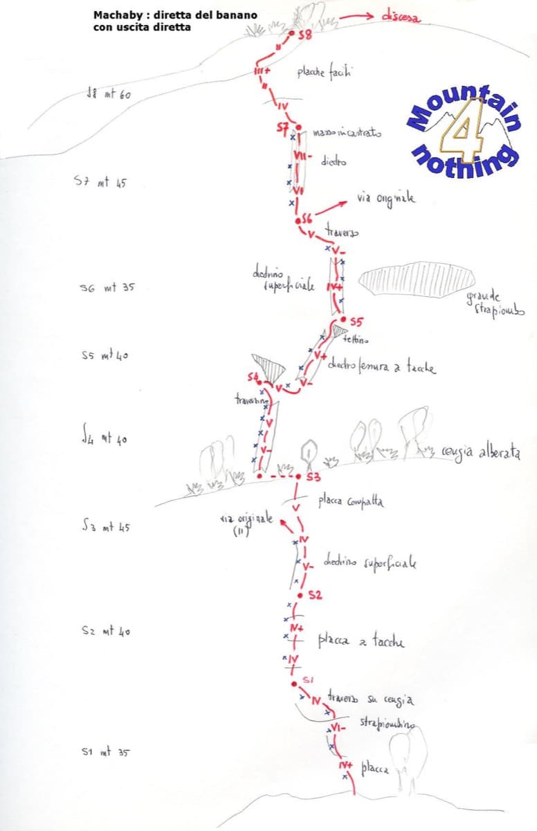
Hand-drawn topo of Diretta al Banano (direct finish), Corma di Machaby

Italy · Aosta Valley

Diretta al Banano

Along with Bucce d'Arancia this is the Paretone's other great classic (first ascent 1977, later retro-bolted). It climbs big, juggy, non-athletic slabs on beautiful rock up the centre of the wall to near the summit. Expect a few metres above the last bolt in places.

5c+9 pitches250 m

Read the cautions

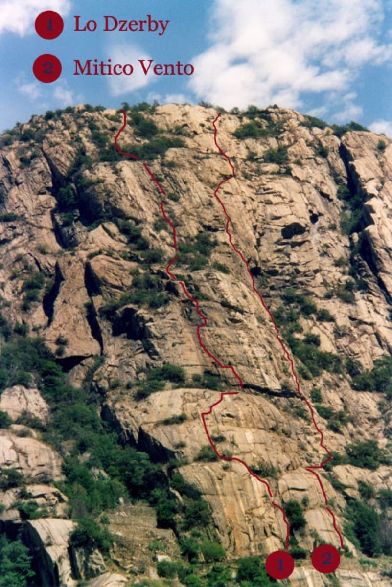
Topo of Lo Dzerby (line 1) and Mitico Vento on the Corma di Machaby, Arnad

Italy · Aosta Valley

Lo Dzerby

A long, easy-angled outing up the full height of the Paretone. A steeper lower half with an exposed pillar on P5 leads to sculpted slabs and broken steps higher up. It's a good first big multipitch.

5c13 pitches400 m

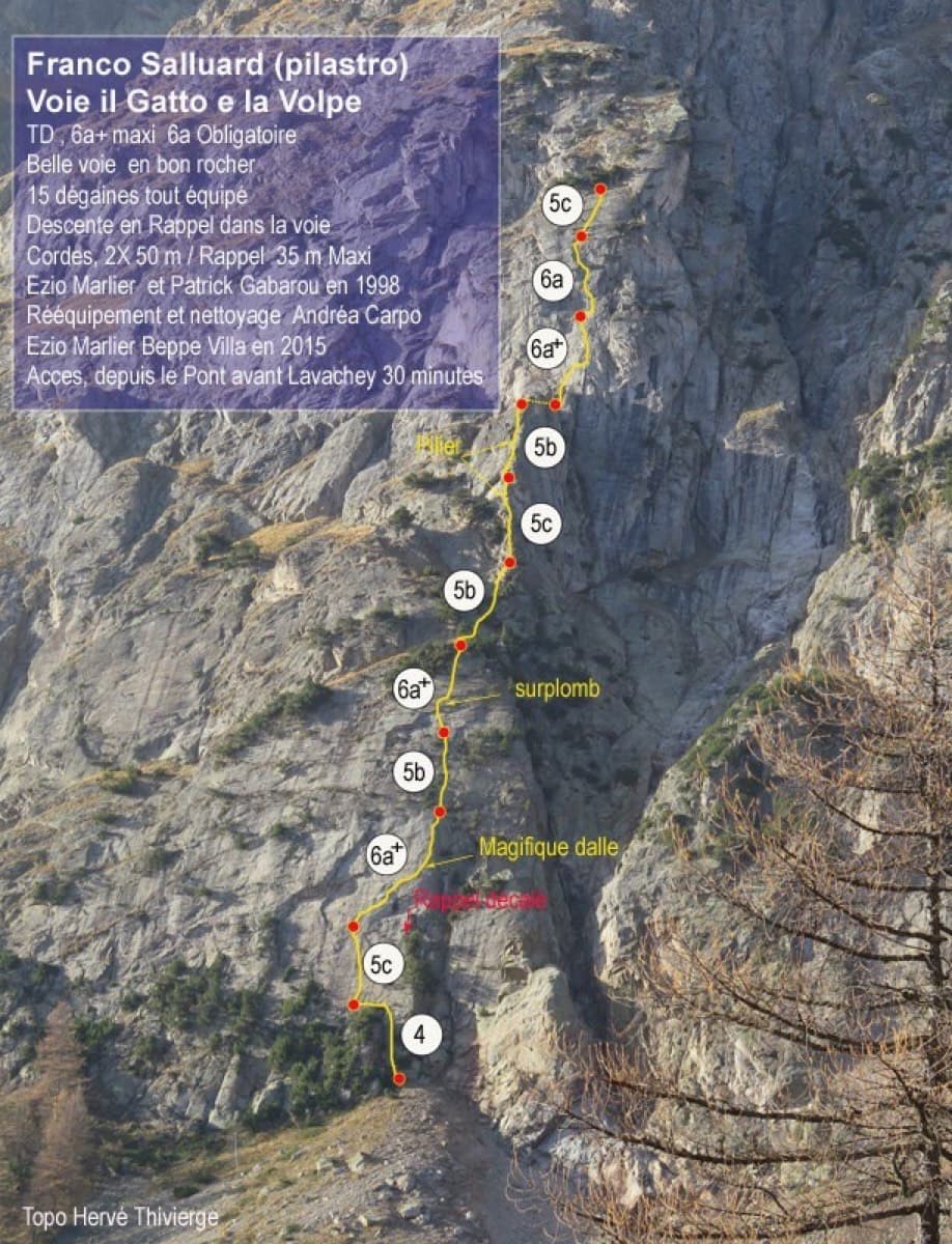
Topo of Il Gatto e la Volpe on the Pilier Franco Salluard, Val Ferret

Italy · Aosta Valley

Il Gatto e la Volpe

Rated 'great' on camptocamp: a wild setting with a short, easy approach from Lavachey. It climbs edgy granite slabs and a pillar crest, with a three-star exposed slab on P9.

6a+11 pitches350 m

Around 5c+ · about 8 pitches

Similar elsewhere

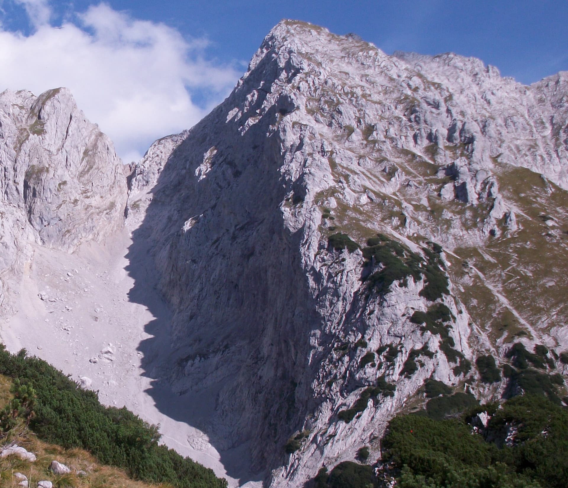
A view of the region, not this route's wall. The Schneekar cirque and the north side of the Treffauer in the Wilder Kaiser; the route climbs the lower rocks of this flank, but the exact line is not marked.

Austria · Wilder Kaiser

Tour für Abenteurer

Also listed as Sappl-Zott. The heart of the route is a deep chimney that takes you about 50 m inside the mountain, well bolted and enjoyable where chimneys usually are not. Slab and wall pitches before and after, a traverse and a big flake on the ridge make a varied eight-pitch outing, finished by an airy abseil.

5c+8 pitches295 m

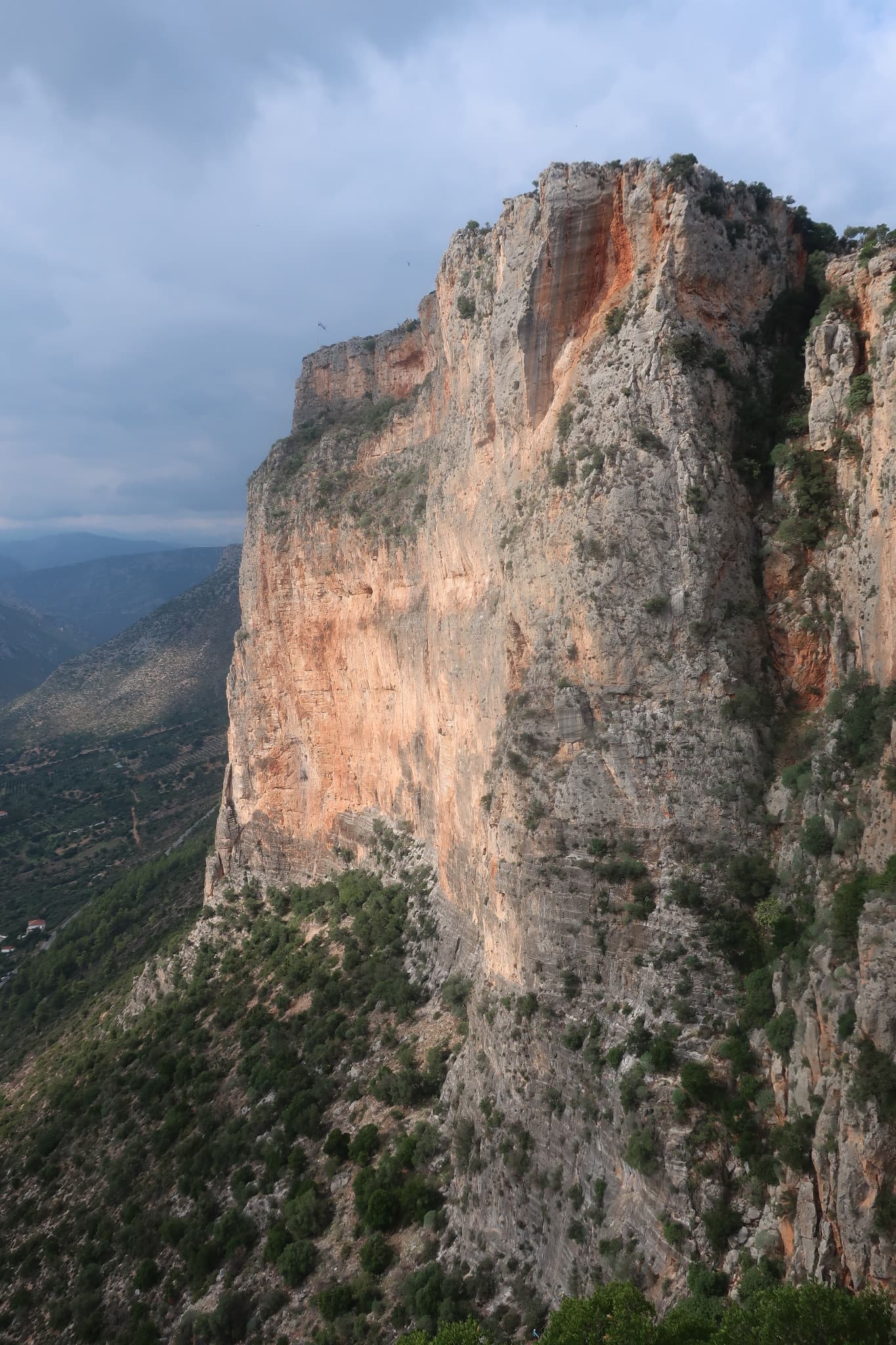
The orange pillar at the right end of the main Kokkinovrachos wall, Leonidio.

Greece · Leonidio & Kyparissi

Mignonette

The easiest multi-pitch on Kokkinovrachos, following the easy-angled arête and pillar above Leonidio, with tufas, crimpy walls and a great view of the town. Rock is good apart from the scrappy P2–P3.

5c+7 pitches175 m

Le Socle de la Carrière, the pale limestone plinth at the foot of the south face of Sainte-Victoire.

France · Sainte-Victoire

La Marbrière

A sunny winter route on Sainte-Victoire's south-side socle. The highlight is a beautiful marbled slab on L5, and a stiff move off the last belay can be aided on a sling. Bring long slings to manage rope drag around the trees.

5c+7 pitches180 m

A view of the region, not this route's wall. The painted stone that marks the start of Strada del Sole at the foot of the Nösslachwand

Austria · Ötztal

Sonnenblume

The multipitch classic of the Nösslachwand and the easiest line on its west face: seven short pitches of gneiss slab beside a water streak, improving with height, with a few steep wall moves and an arête crux. Polished in places.

5c+7 pitches160 m

Compiled from published sources and last verified October 2026. Bolts, anchors and access change. Climbing is dangerous and you are responsible for your own decisions: check a current topo and read the disclaimer.