Multipitch Atlas

Rätikon Lyrics

Gelbeck east face (Drusenfluh) · Rätikon (Montafon) · Austria

Easy to bailBolting confidence: high

A sporty 2020 line of cracks, corners, pillars and water-eroded slabs up to mid-height, then spectacular, steep and airy climbing to the top belay it shares with Kabarett Drusenfluh. Two pitches of UIAA 7+, with a few aid points on the last.

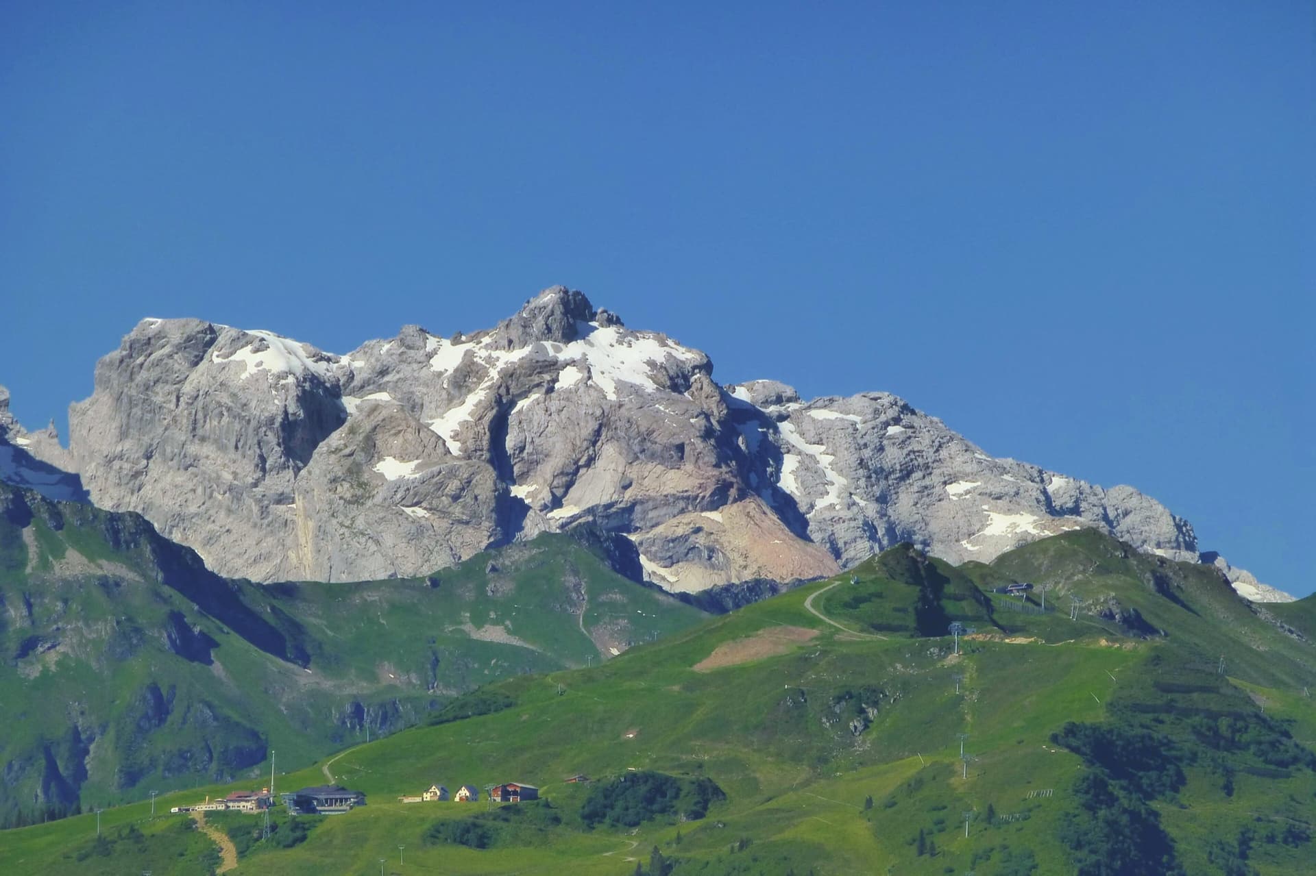
The Drusenfluh massif from the north, seen from Rellseck above Bartholomäberg. The Gelbeck is a buttress low on this side of the mountain above the Gauertal; the wall and the line are not identified in this view.Photo: Reinhard Müller · CC BY-SA 4.0

Photo

The Drusenfluh massif from the north, seen from Rellseck above Bartholomäberg. The Gelbeck is a buttress low on this side of the mountain above the Gauertal; the wall and the line are not identified in this view.Photo: Reinhard Müller · CC BY-SA 4.0
Hardest pitch
6c
Pitches
6
Length
170 m
Approach
210 min
Aspect
E
East-facing
Rope
2×60 m

The route

Overview

Six pitches right of Kabarett Drusenfluh on the Gelbeck east face. The lower half follows cracks, corners and sculpted slabs; the upper wall is steep and exposed. The second pitch is UIAA 7+ and the last is 7+ with three points of aid, so the route fits the atlas only if you are happy to pull on a few bolts. It ends at the top belay of Kabarett Drusenfluh, which is the abseil line.

The climbing

Pitch by pitch

Pitches of Rätikon Lyrics
PitchGradeLengthNotes
P16a/6a+45 mUIAA 6+. Cracks and corners.
P26c40 mUIAA 7+, the hardest free pitch.
P36a+/6b25 mUIAA 7-.
P45c+/6a30 mUIAA 6.
P56a/6a+30 mUIAA 6+, steep and exposed.
P66c25 mUIAA 7+ with three points of aid, steep and airy, to the shared belay with Kabarett Drusenfluh. The free grade without aid is not given.

Getting there

Approach

To the parking

Turn off towards the Montafon at Bludenz and drive to Tschagguns, then right up to Latschau and the car park at the Lünerseewerk power station by the Golmerbahn valley station (about 990 m). By public transport, take bus line 1 from Tschagguns railway station to Latschau Golmerbahn Talstation. From there walk up the Gauertal to the Lindauer Hütte (1744 m), about 2.5 hours; most parties stay at the hut.

On foot · about 210 min

From the Lindauer Hütte take the path towards the Öfapass. After the first steep step turn left towards the Eistobel and follow faint tracks, partly cairned, to the foot of the Gelbeck east face, which rises on your right. The start is a little right of the long grass ridge in the front part of the east face and right of the obvious grey water streak in the right-hand third of the face, at about 2120 m. The topo shows Kabarett Drusenfluh starting from the same point. About 1 hour from the hut.

Map of the walk-in

  • Route base
  • Parking

Loading map

The point marks the base of the route.

Coordinates · route base

47.03292, 9.80910

Parking

47.07256, 9.87418

Car park at the Lünerseewerk, Latschau

Point from Start coordinates published on the Lindauer Hütte route page

For your phone or watch

Download GPX

Contains the route point and parking. Opens in most mapping apps and GPS watches.

Points are compiled from published sources, with the precision stated above. They were not surveyed on the ground: check them against a current topo.

Getting down

Descent

Abseil the Kabarett Drusenfluh line: 55 m free-hanging, 45 m and 60 m to the ground. Shorter ropes also work because there are enough belays.

Retreat

Bailing off the route

Easy to bail

The descent is by abseil down the adjacent Kabarett Drusenfluh line, and the hut says the belays of the neighbouring routes are plentiful enough for shorter ropes. The top abseil is 55 m and free-hanging.

Retreat from
Any belay; the topo marks abseil points beside the route.
Point of no return
None documented.
Carry
Two ropes; 60 m for the standard three abseils.
Basis
Stated in the sourcesAbseil line and the remark on neighbouring belays are from the Lindauer Hütte route page and topo.

Safety

Hazards

  • The first abseil on the Kabarett Drusenfluh line is 55 m and free-hanging; you need a slight swing to reach the belay.
  • Alpine setting at over 2100 m, about three hours from the road: weather changes, storms and a long way down if something goes wrong.
  • Only one detailed source exists for this route, written by one of the first ascensionists; no independent trip reports were found.

Sun and weather

Conditions

An east to north-east facing limestone wall starting at about 2100 m, so a high-summer route with morning sun (season inferred from altitude and aspect; the sources give no months). The hut pages note that water runs down parts of the Gelbeck after rain and suggest combining pitches of neighbouring routes when one line is wet. Expect snow at the foot of the wall early in the season and afternoon thunderstorms in summer (inferred).

Usual season · Jul to Sep

Sun on the wall · E-facing

Working out the sunlit hours for this month.

  • January: not yet worked out
  • February: not yet worked out
  • March: not yet worked out
  • April: not yet worked out
  • May: not yet worked out
  • June: not yet worked out
  • July (usual season): not yet worked out
  • August (usual season): not yet worked out
  • September (usual season): not yet worked out
  • October: not yet worked out
  • November: not yet worked out
  • December: not yet worked out

Sun on the wallDaylight, wall in shade● Usual season

Estimated from the wall's aspect only. Ignores surrounding terrain, gullies and the wall's exact shape. Clock times are local to the wall (Central European time), for the 15th of each month.

Monthly climate averages for Rätikon (Montafon), 1991-2020
MeasureJanFebMarAprMayJunJul (usual season)Aug (usual season)Sep (usual season)OctNovDec
Mean daily high °C−6−4−137111414106−0−5
Mean daily low °C−15−14−10−7−31340−4−9−14
Rain days 1 mm or more131316162121201816131314

● marks the usual climbing season. Averages for 1991-2020 at about 2092 m. Area climate from Open-Meteo reanalysis. Temperatures are adjusted to the height of the crag; rain comes from a grid cell of about 10 to 25 km, and summer highs on sea cliffs can read a few degrees low. The wall and valley can differ. Data: Open-Meteo, CC BY 4.0.

What to carry

Gear

14 quickdraws, extendable slings, helmet. Two 60 m ropes are an advantage for abseiling but not essential, as the belays of the neighbouring routes can be used.

Checklist

Quickdraws
14
Rope
2×60 m
Helmet
One each
Abseil device and prusik
The descent or the retreat involves abseiling

Derived from the route data; check it against a current topo

From climbers

Reader reports

Reader reports are not being collected yet. Until they are, check a current topo and the local club or guidebook publisher for recent changes to Rätikon Lyrics.

Worth knowing

Tips

  • Allow 3 to 5 hours on the route.
  • Kabarett Drusenfluh shares the start and the top belay; it is the all-free alternative at UIAA 7-.

Open questions

Where sources disagree

  • Grade: UIAA 7+ with three points of aid, obligatory 7- with several A0 moves. 6c is the conversion of 7+; the fully free grade of the last pitch is not published and may exceed the atlas range.
  • Pitch lengths on the topo add up to 195 m, while the page gives about 170 m of wall height.

Provenance

Sources

Same area

More in Rätikon (Montafon)

All routes in Rätikon (Montafon)
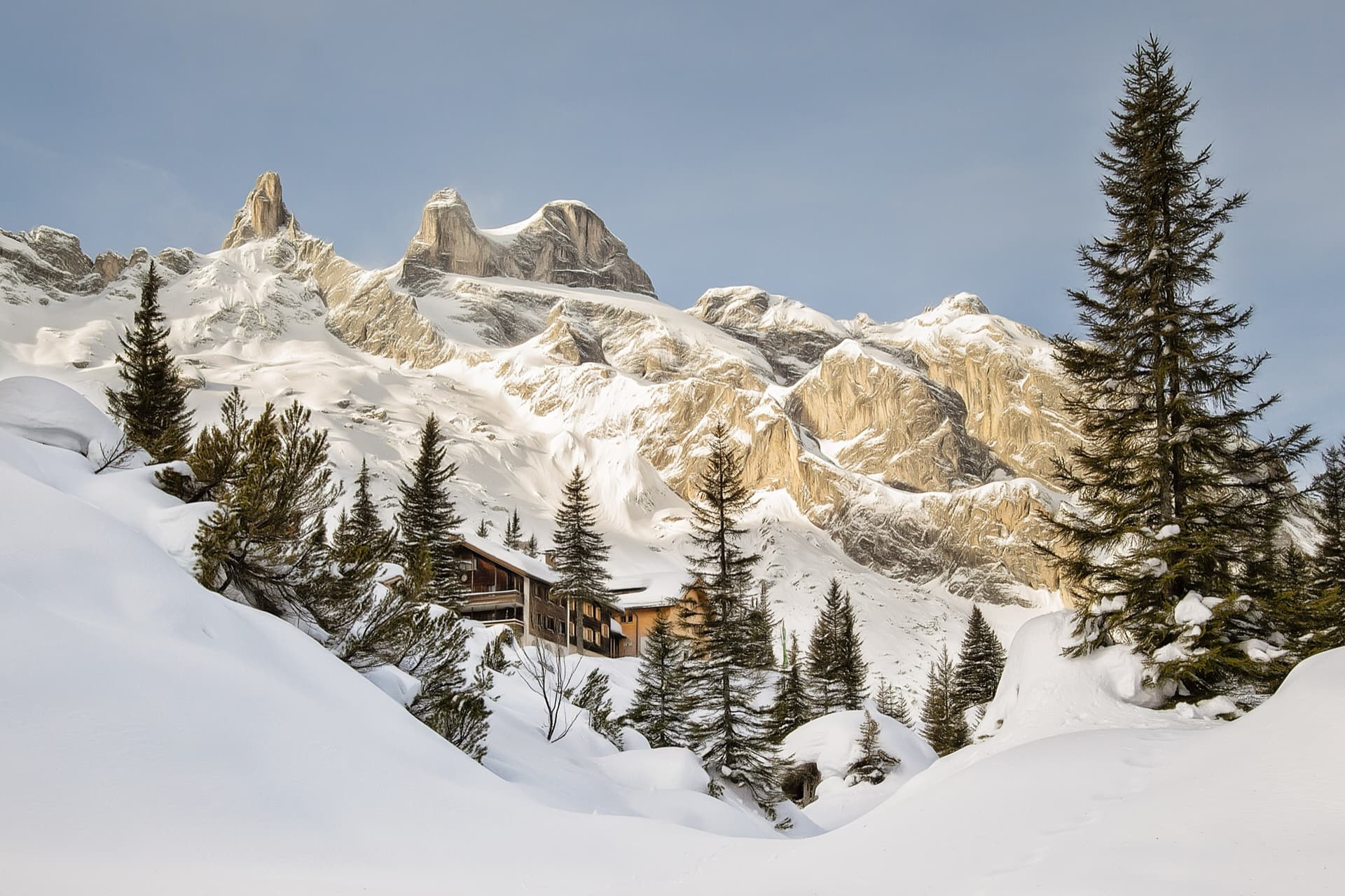
The Lindauer Hütte in winter beneath the Drei Türme; the sunlit yellow buttress on the right, north of the towers, is where the route coordinates place the Gelbeck. The exact line is not marked.

Austria · Rätikon (Montafon)

Sorgafresser

Seven long pitches of varied climbing on mostly very good Rätikon limestone above the Lindauer Hütte, UIAA 7 with 7- obligatory. The last two pitches are very athletic and exposed. Well bolted, but the setting is high and remote.

6b+7 pitches300 m
The Drusenfluh massif from the north, seen from Rellseck above Bartholomäberg. The Gelbeck is a buttress low on this side of the mountain above the Gauertal; the wall and the line are not identified in this view.

Austria · Rätikon (Montafon)

Kabarett Drusenfluh

One of the first modern routes on the front, lower part of the Gelbeck east face: five long pitches of varied, often athletic and exposed limestone climbing. The last two pitches are on heavily water-eroded rock full of drip features.

6b5 pitches220 m

The Drusenfluh massif from the north, seen from Rellseck above Bartholomäberg. The Gelbeck is a buttress low on this side of the mountain above the Gauertal; the wall and the line are not identified in this view.

Austria · Rätikon (Montafon)

Skandal um Rosi

Five homogeneous pitches of fine, varied limestone climbing on the Gelbeck east face, almost always between UIAA 6 and 7 and hardly ever easier. An overhanging arête on the last pitch is the tricky bit.

6b+5 pitches220 m

The Drusenfluh massif from the north, seen from Rellseck above Bartholomäberg. The Gelbeck is a buttress low on this side of the mountain above the Gauertal; the wall and the line are not identified in this view.

Austria · Rätikon (Montafon)

Alchemist

Starts up an inclined slab at the lowest point of the Gelbeck, climbs three long, easier pitches through the front spur to a sloping ledge, then finishes with two very steep wall pitches on sharp solution pockets that most parties climb with a few aid moves.

6c5 pitches200 m

Around 6c · about 6 pitches

Similar elsewhere

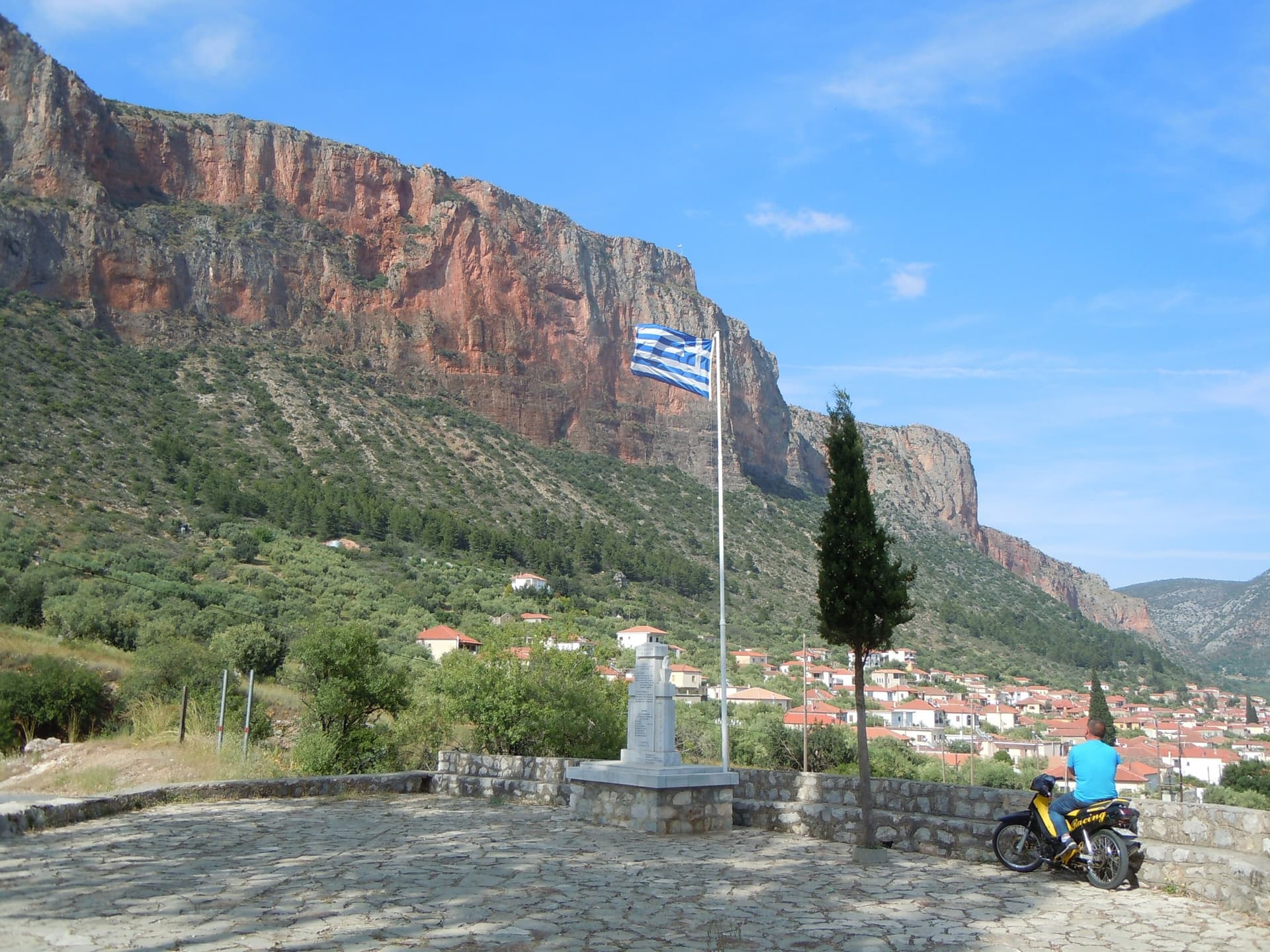
The red Kokkinovrachos wall above the rooftops of Leonidio, seen from Agios Nektarios.

Greece · Leonidio & Kyparissi

Aramis

Six sustained pitches up the red wall above Leonidio, four of them 6c. The climbing is steep and on good holds, with a 3 m boulder problem on the last pitch and a long 6a+ to start. The bolts are close enough to let you concentrate on the moves.

6c6 pitches200 m

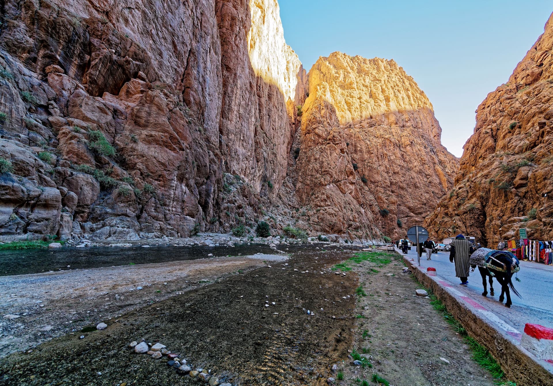
The narrows of the Todra Gorge in late afternoon light, a few minutes' walk upstream of the Mansour wall; a view of the gorge, not of this route's wall.

Morocco · Todra Gorge (Todgha)

Cœur de Palmier

Six pitches of technical wall and corner climbing one minute from the gorge-entrance guesthouses. Easy pitches alternate with three hard ones, and the 6b+ fourth pitch and the 6c last pitch are precise, footwork-heavy climbing on very rough rock. The route stops in the middle of the wall and you abseil off.

6c6 pitches160 m

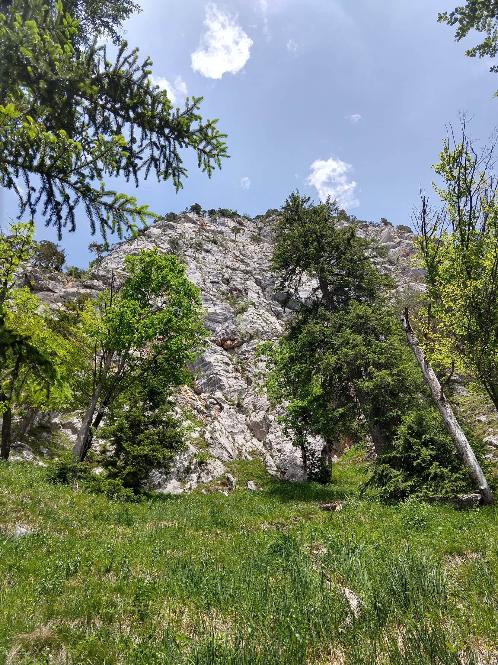
The south-west wall of the Rabensteinhorn seen from the meadow at its foot

Germany · Berchtesgaden & Bad Reichenhall

Rabengold

A new, closely bolted line up the left side of the Rabensteinhorn, built for climbers at home in the lower sixth UIAA grade: cracks, slabs, ramps, short corners and juggy bulges on compact, water-eaten rock. The sting is a short, slightly overhanging, small-holded passage on the last pitch, which most parties will aid. It shares its start with Für Gabi and crosses it twice.

6c6 pitches135 m

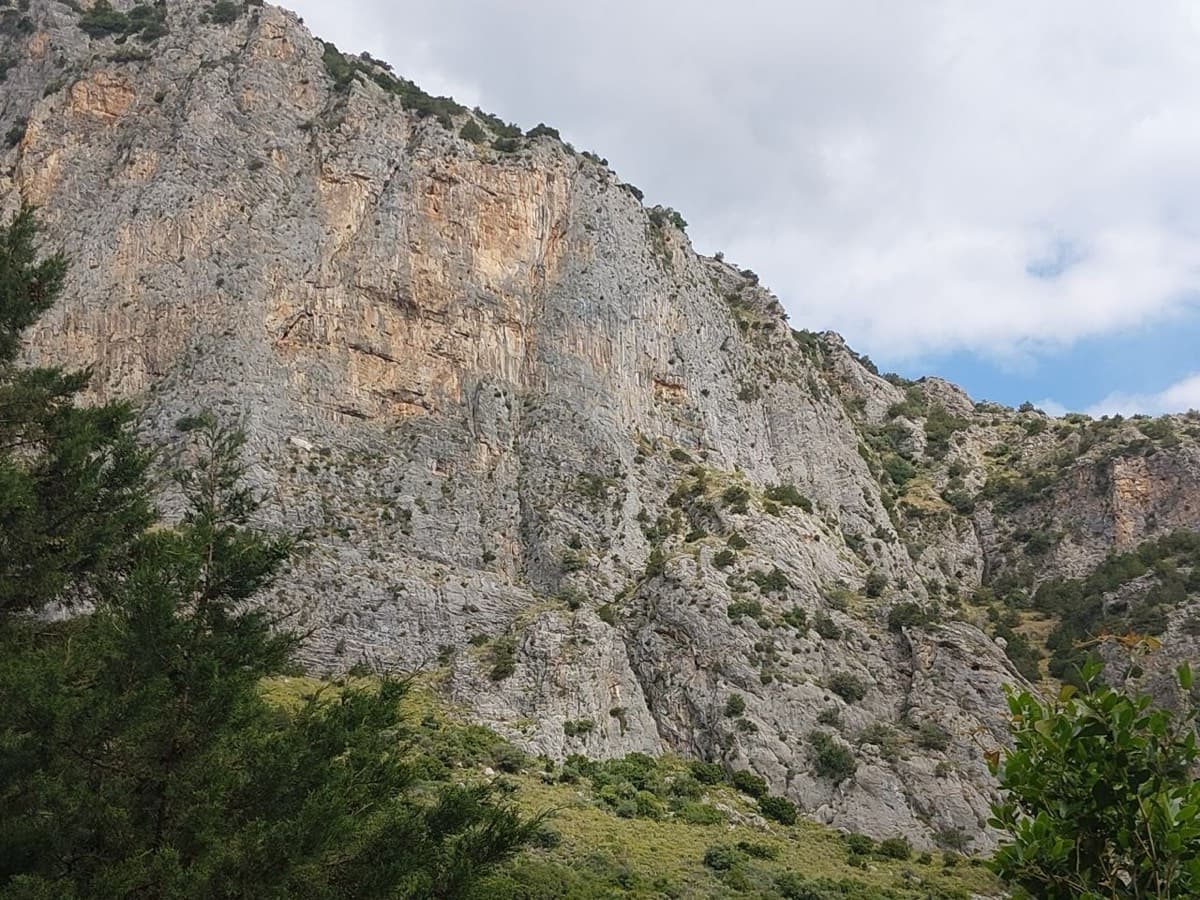
Limestone walls at Manikia, photographed on the day of a May 2026 ascent of To monopáti ton Chelonón

Greece · Manikia (Evia)

To monopáti ton Chelonón

A varied route in two tiers: two pitches of pocketed wall and sculpted slab, a walk across a big ledge, then four longer pitches up the main wall. The upper wall holds the 6c and a superb 40 m pitch of continuous vertical climbing. A quiet valley with a gentle walk down through meadow.

6c6 pitches200 m

Compiled from published sources and last verified October 2026. Bolts, anchors and access change. Climbing is dangerous and you are responsible for your own decisions: check a current topo and read the disclaimer.