Multipitch Atlas

Rabengold

Rabensteinhorn (above Bad Reichenhall-Karlstein) · Berchtesgaden & Bad Reichenhall · Germany

Bail with caveatsBolting confidence: high

A new, closely bolted line up the left side of the Rabensteinhorn, built for climbers at home in the lower sixth UIAA grade: cracks, slabs, ramps, short corners and juggy bulges on compact, water-eaten rock. The sting is a short, slightly overhanging, small-holded passage on the last pitch, which most parties will aid. It shares its start with Für Gabi and crosses it twice.

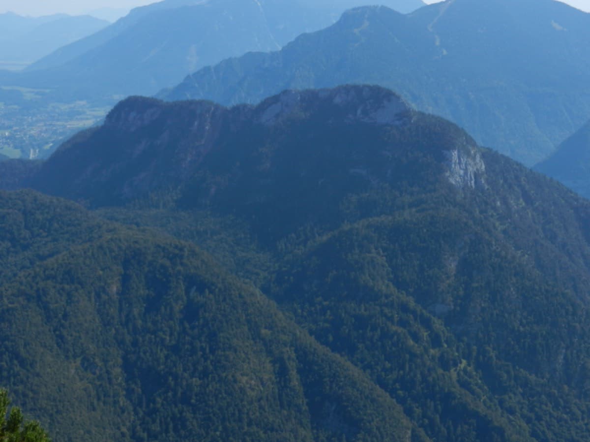
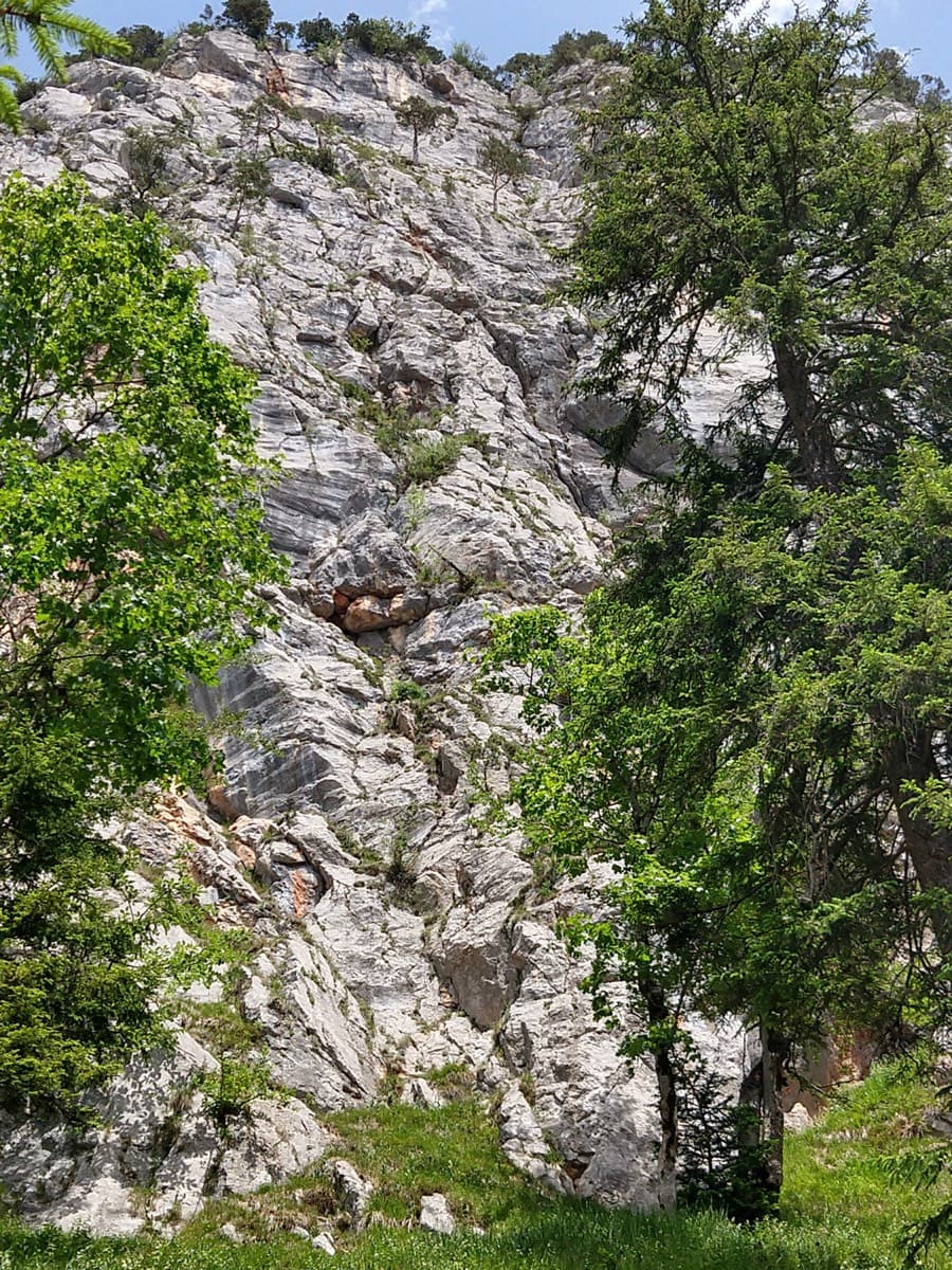
The south-west wall of the Rabensteinhorn seen from the meadow at its footPhoto: bnnnplm · CC BY-SA 3.0

Photo

The south-west wall of the Rabensteinhorn seen from the meadow at its footPhoto: bnnnplm · CC BY-SA 3.0
Hardest pitch
6c
Pitches
6
Length
135 m
Approach
75 min
Aspect
SW
South-west-facing
Rope
1×50 m
walk-off

The route

Overview

Rabengold is one of a group of sport multipitches added to the south-west wall of the Rabensteinhorn since 2021 by Maximilian Altmannshofer and Christian Oßwald. It takes an almost vertical line up the left side of the wall in six pitches. Four of the six are described as excellent, on very solid and extremely rough rock, mostly around UIAA VI- (about 5c). The crux comes on the last pitch: 5 to 6 m at VII+ (about 6c), slightly overhanging on small holds and dependent on reach, which can be aided on the bolts. The route finishes at a tree with a summit book, directly on the descent path.

The climbing

Pitch by pitch

Pitches of Rabengold
PitchGradeNotes
P1–Shared start with Für Gabi for a few metres, then up right. Very rough, water-eaten rock, around UIAA VI-.
P2–More very rough rock around UIAA VI-. No further detail published.
P3–No description published.
P4–No description published.
P5–No description published.
P66cThe crux: a slightly overhanging passage of 5 to 6 m on very small holds, UIAA VII+ and harder for the short, VI- with aid from the bolts. It ends at a tree with the summit book, right on the descent path.

Getting there

Approach

To the parking

Leave the A8 Munich to Salzburg motorway at Bad Reichenhall and take the B20 bypass to the Karlstein exit; or come from Traunstein/Siegsdorf via Inzell and Weißbach on the B305. In Karlstein drive to the hikers' car park below the Kugelbachbauer inn. By public transport: train to Bad Reichenhall and bus to Karlstein.

On foot · about 75 min

About 1 hour 15 min. Follow the forest road to the Kugelbachbauer inn and on to the Paul-Gruber-Haus (about 50 min). Turn left on the hiking path towards the Müllnerhorn. It is wide at first, as far as a turning place you can reach by mountain bike, then a narrow path with a few secured sections that leads directly below the crag. At a marked tree go up left to the start of Die Schönheitskönigin von Schneizlreuth (plaque). From there move left across grass and up to the start of Für Gabi (tree and metal plaque). Rabengold follows Für Gabi for a few metres and then branches up right. All junctions between the two routes have small plaques.

Map of the walk-in

  • Crag
  • Parking

Loading map

The point marks the crag, not the exact start of the route.

Coordinates · crag

47.69452, 12.82050

Parking

47.71840, 12.85040

Hikers' car park below the Kugelbachbauer, Karlstein (bergsteigen.com marker)

Point from bergsteigen.com map marker for Rabengold (unlabelled start marker)

For your phone or watch

Download GPX

Contains the route point and parking. Opens in most mapping apps and GPS watches.

Points are compiled from published sources, with the precision stated above. They were not surveyed on the ground: check them against a current topo.

Getting down

Descent

From the book go up about 30 m of height on path traces, keeping right, then follow a cairned path a long way right without losing much height, and finally go down a wooded gully with path traces and cairns to the Müllnerhorn path. Follow the approach back to the car; bergsteigen.com allows 1 hour 45 min in all. Abseiling is possible but only recommended in an emergency.

Retreat

Bailing off the route

Bail with caveats

Three of the six belays are equipped as abseil stations, so you can abseil back to the start between Rabengold and Für Gabi. You need at least 50 m twin ropes for this, and the author recommends abseiling only in an emergency and not at all when other climbers are on either route.

Retreat from
From the three belays rigged as abseil stations (which three is shown only on the topo).
Point of no return
None stated. The crux is on the last pitch and can be aided, and the top is directly on the descent path.
Carry
2 × 50 m ropes. With 50 m ropes the last abseil ends at a fixed rope 2 to 3 m above the start, so take care at the end.
Basis
Stated in the sourcesbergsteigen.com describes the abseil stations, the rope length needed and the warning about parties below.

Safety

Hazards

  • The approach path has exposed, cabled sections and the descent is on steep path traces; both are unpleasant when wet.
  • Rabengold crosses Für Gabi twice: watch for parties on the other route and for crossed ropes.
  • Ticks are common on the approach according to the neighbouring route pages.

Sun and weather

Conditions

South-west facing, with the start at roughly 1200 m, so it has a long season: bergsteigen.com marks April to November. The author advises against the approach, the route and the descent in the wet.

Usual season · Apr to Nov

Sun on the wall · SW-facing

Working out the sunlit hours for this month.

  • January: not yet worked out
  • February: not yet worked out
  • March: not yet worked out
  • April (usual season): not yet worked out
  • May (usual season): not yet worked out
  • June (usual season): not yet worked out
  • July (usual season): not yet worked out
  • August (usual season): not yet worked out
  • September (usual season): not yet worked out
  • October (usual season): not yet worked out
  • November (usual season): not yet worked out
  • December: not yet worked out

Sun on the wallDaylight, wall in shade● Usual season

Estimated from the wall's aspect only. Ignores surrounding terrain, gullies and the wall's exact shape. Clock times are local to the wall (Central European time), for the 15th of each month.

Monthly climate averages for Berchtesgaden & Bad Reichenhall, 1991-2020
MeasureJanFebMarApr (usual season)May (usual season)Jun (usual season)Jul (usual season)Aug (usual season)Sep (usual season)Oct (usual season)Nov (usual season)Dec
Mean daily high °C−10371216181814104−1
Mean daily low °C−10−9−6−3268851−5−9
Rain days 1 mm or more141417162020211916141315

● marks the usual climbing season. Averages for 1991-2020 at about 1337 m. Area climate from Open-Meteo reanalysis. Temperatures are adjusted to the height of the crag; rain comes from a grid cell of about 10 to 25 km, and summer highs on sea cliffs can read a few degrees low. The wall and valley can differ. Data: Open-Meteo, CC BY 4.0.

What to carry

Gear

A 50 m single rope (or 2 × 50 m twin ropes if you want to be able to abseil), 14 quickdraws, helmet. A foot sling or a long 'cheat' quickdraw is suggested for the crux, especially for climbers under about 170 cm. No nuts or cams.

Checklist

Quickdraws
14
Rope
1×50 m (walk-off)
Helmet
One each
Abseil device and prusik
The descent or the retreat involves abseiling

Derived from the route data; check it against a current topo

From climbers

Reader reports

Reader reports are not being collected yet. Until they are, check a current topo and the local club or guidebook publisher for recent changes to Rabengold.

Worth knowing

Tips

  • The route was laid out so that every hard move can be aided: all the UIAA VI and VII+ passages can be pulled through on the bolts.
  • Strong parties can add the Kugelbachweg above (4 pitches, UIAA VII-), which bergsteigen.com calls a little more serious and harder.
  • The Kugelbachbauer inn is on the way down.

Open questions

Where sources disagree

  • Protection wording: the page header rates the protection 'very good' while the remark in the text says 'good to very good'.
  • Pitch grades and lengths are only on the bergsteigen.com topo, which is not openly readable, so they are left blank here.

Provenance

Sources

Same area

More in Berchtesgaden & Bad Reichenhall

All routes in Berchtesgaden & Bad Reichenhall
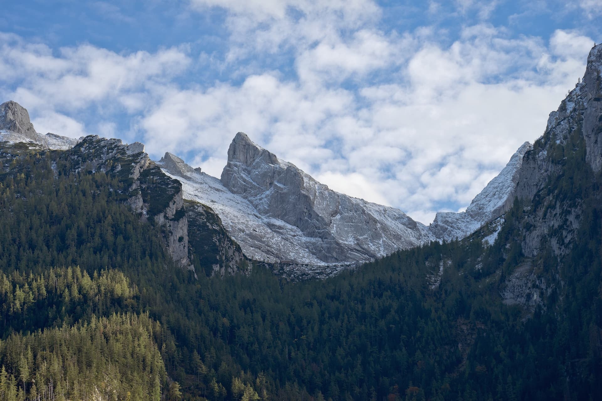
The Rabensteinhorn wall climbed by Die Schönheitskönigin von Schneizlreuth, seen from its foot

Germany · Berchtesgaden & Bad Reichenhall

Die Schönheitskönigin von Schneizlreuth

Six pitches on excellent grippy limestone with views to the Watzmann, established 2012. Pitch grades are converted from the UIAA topo (6-, 6, 6, 5+, 5+, 6); 5 is obligatory.

6a6 pitches165 m
The Berchtesgadener Hochthron, highest point of the Untersberg, seen from Maria Gern: the south face in afternoon light, with the south-east walls on the right.

Germany · Berchtesgaden & Bad Reichenhall

Dahoam is Dahoam

A long-day alpine-flavoured plaisir route on the Untersberg's summit wall. Pitches range from UIAA 5+ to 6+ (≈5b–6b), with 5+ obligatory.

6a+10 pitches250 m

The Rabensteinhorn seen from the Ristfeuchthorn to the west

Germany · Berchtesgaden & Bad Reichenhall

Schmetterlings Kant'n

A steep, athletic line up the pillar right of the Schönheitskönigin von Schneizlreuth, reached by one pitch of that route and one of Alpinmodel. Four independent pitches of UIAA 6 to 7+ on very good rock, then the last pitches of the Schönheitskönigin.

6c7 pitches170 m

Read the cautions

The Schärtenspitze seen from the north-west; the slab routes above the Blaueishütte climb this side of the mountain

Germany · Berchtesgaden & Bad Reichenhall

Logic Line

The shortest and easiest line on the slabs above the Blaueishütte: eight pitches of water-worn limestone slab, ramps and one water runnel, mostly UIAA III with a single IV+ step. It is closely bolted and often used as a first alpine multipitch. You finish next to the normal route and can carry on to the 2153 m summit.

4c8 pitches260 m

Around 6c · about 6 pitches

Similar elsewhere

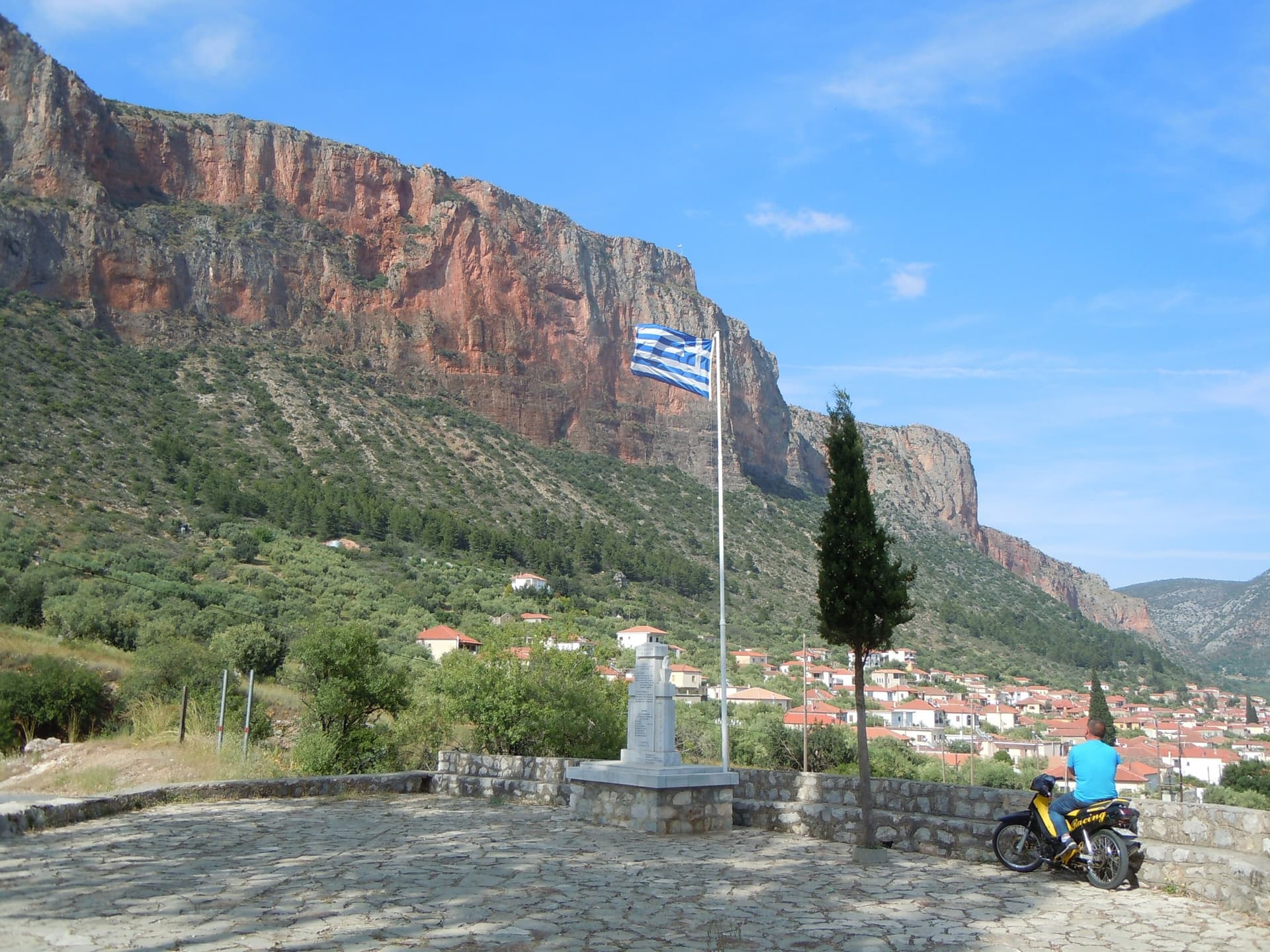
The red Kokkinovrachos wall above the rooftops of Leonidio, seen from Agios Nektarios.

Greece · Leonidio & Kyparissi

Aramis

Six sustained pitches up the red wall above Leonidio, four of them 6c. The climbing is steep and on good holds, with a 3 m boulder problem on the last pitch and a long 6a+ to start. The bolts are close enough to let you concentrate on the moves.

6c6 pitches200 m

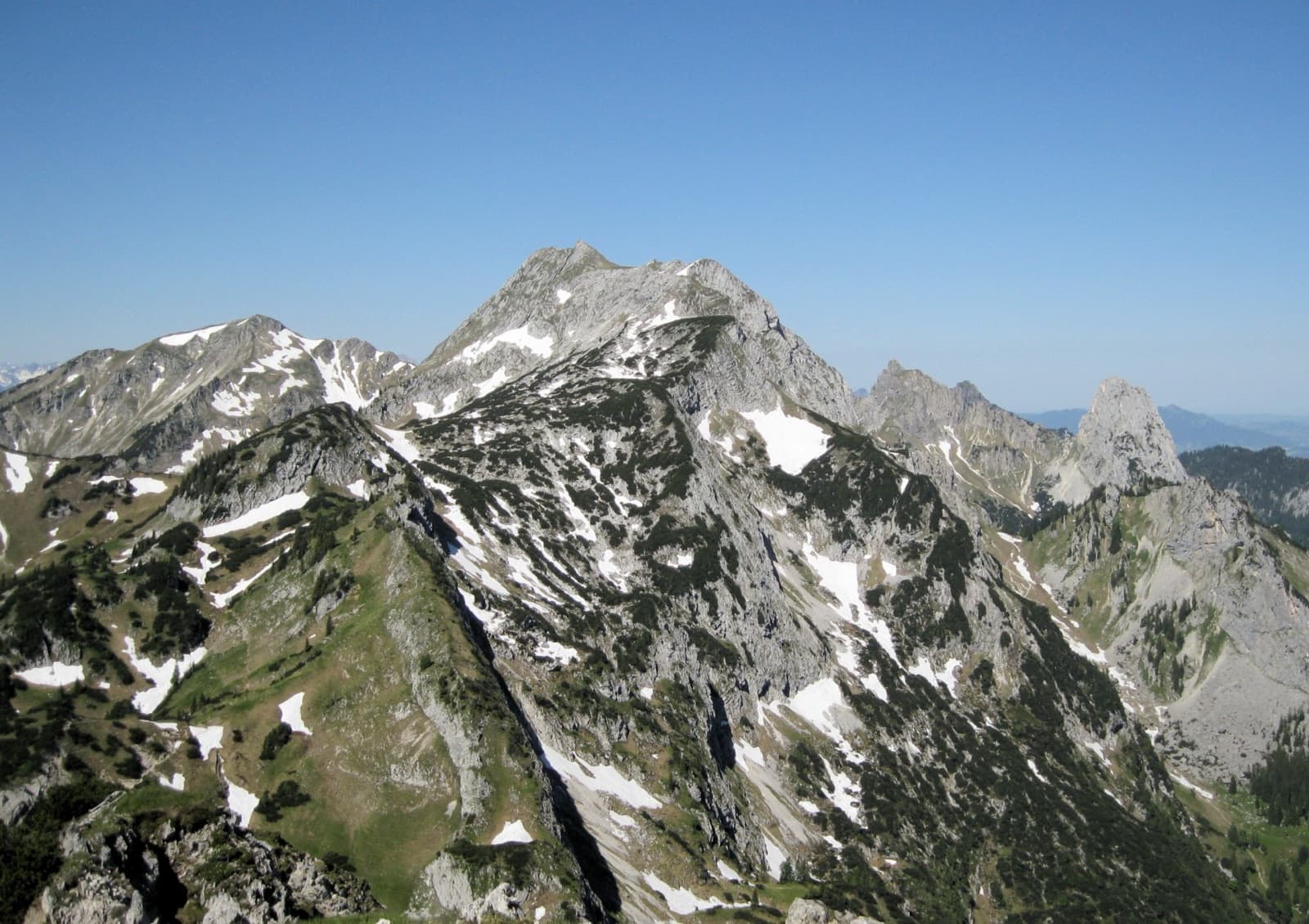
A view of the region, not this route's wall. The Hochplatte in the Ammergau Alps seen from the east in early summer; the Schlössel crag is on this side of the massif but cannot be picked out.

Germany · Ammergauer Alpen

Besser leben mit M.

Six sustained pitches up stepped diagonal corners, compact slabs and steep walls on the very rough limestone of the Kenzenkopf, an hour from the Kenzenhütte. The first pitch is the hardest, at UIAA 7 to 7+ with acrobatic moves on holdless slabs; the rest stays between 6 and 7. Sunny until late afternoon and far quieter than the Geiselstein.

6c6 pitches180 m

The narrows of the Todra Gorge in late afternoon light, a few minutes' walk upstream of the Mansour wall; a view of the gorge, not of this route's wall.

Morocco · Todra Gorge (Todgha)

Cœur de Palmier

Six pitches of technical wall and corner climbing one minute from the gorge-entrance guesthouses. Easy pitches alternate with three hard ones, and the 6b+ fourth pitch and the 6c last pitch are precise, footwork-heavy climbing on very rough rock. The route stops in the middle of the wall and you abseil off.

6c6 pitches160 m

The Tête d'Aval de Montbrison from the valley; the southern buttresses are on the left

France · Briançonnais

Le Droit à la Paresse

A six-pitch slab and wall climb on the buttresses below the great south face of the Tête d'Aval, on the same grey water-worn limestone but half the height and much more closely bolted. A burly 6c start over a bulge leads to sustained, technical 6b+ and 6a+ walls on small edges. Ledges break the exposure, but the moves are hard for the grade and about 6b is obligatory.

6c6 pitches200 m

Compiled from published sources and last verified October 2026. Bolts, anchors and access change. Climbing is dangerous and you are responsible for your own decisions: check a current topo and read the disclaimer.