Multipitch Atlas

Le Droit à la Paresse

Tête d'Aval de Montbrison – Contreforts S · Briançonnais · France

Easy to bailBolting confidence: high

A six-pitch slab and wall climb on the buttresses below the great south face of the Tête d'Aval, on the same grey water-worn limestone but half the height and much more closely bolted. A burly 6c start over a bulge leads to sustained, technical 6b+ and 6a+ walls on small edges. Ledges break the exposure, but the moves are hard for the grade and about 6b is obligatory.

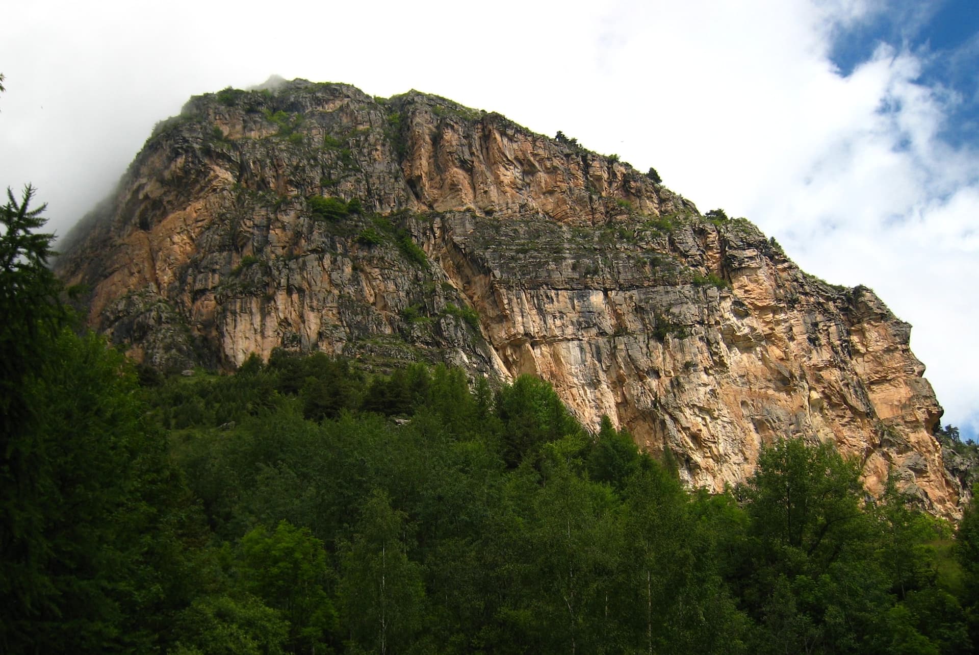
The Tête d'Aval de Montbrison from the valley; the southern buttresses are on the leftPhoto: Fredop · CC BY-NC-ND 3.0

Photo

The Tête d'Aval de Montbrison from the valley; the southern buttresses are on the leftPhoto: Fredop · CC BY-NC-ND 3.0
Hardest pitch
6c
Pitches
6
Length
200 m
Approach
75 min
Aspect
S
South-facing
Rope
2×50 m

The route

Overview

The Contreforts S are the buttresses left of and below the main wall of the Tête d'Aval de Montbrison, above Les Vigneaux. Le Droit à la Paresse takes the centre of the left-hand buttress in six pitches and is the best known of the group of routes Cambon opened there in 2008. It is slab and wall climbing on excellent grippy rock: a physical start through a bulge, then walls on flat holds and small edges where good footwork matters more than strength. It makes a good first visit before the 300 to 500 m routes of the main face, with the same approach but none of their commitment. You abseil the route.

The climbing

Pitch by pitch

Pitches of Le Droit à la Paresse
PitchGradeLengthBoltsNotes
P16c27 m12 boltsThe first bolt is high. Strenuous climbing through overhanging ground, a hard mantel, then still technical to a belay at the bottom of a garden ledge. Often wet in spring. A 2024 party noted chipped holds and a glued stud used as a foothold.
P26b+––Sustained: a poor-rock corner on flat holds, then round a fingery pillar and up a fine grey wall. Gulliver grades it 6b; a 2024 party thought it worth 6c.
P36b+––A balancy 6b+ slab move straight off the belay, then 6a+ up a steep wall on tiny edges. Do not stop at the first belay you pass, which belongs to the abseil line.
P46a+––A deceptively thin start, a technical slab, then a steep step split by a slanting crack. Often named the best pitch.
P56a––Some vegetation, then a technical wall on edges; the rock is more fractured.
P65c+––An easier, dirtier pitch to finish. It links with pitch 5 on a 50 m rope if you manage the drag.

Getting there

Approach

To the parking

From L'Argentière-la-Bessée drive to Les Vigneaux and take the forest track that climbs to the parking place by the water tanks and a huge boulder, near the Barthalay ruins at about 1500 m. A 2020 party drove it in a van. Without a car, parties cycle up from Les Vigneaux; L'Argentière-la-Bessée has a railway station on the Marseille to Briançon line.

On foot · about 75 min

About 1 h 15. From the parking follow signs for the Marcellin spring ('Fontaine des Marcelins'), where there is water. About 100 m after the spring take the path that climbs to the right; some 15 minutes later leave it by the first cairned path on the left, which traverses at one level, passes a big block above or below, and crosses a stream bed to reach a ledge with a metal cable. The route starts at a steep line; gulliver places it just before a large forked tree, at a zigzag crack. The slope at the foot is steep: belay the leader until the first bolt is clipped.

Map of the walk-in

  • Crag
  • Parking

Loading map

The point marks the crag, not the exact start of the route.

Coordinates · crag

44.84591, 6.52518

Parking

44.83400, 6.53950

Les Vigneaux, Ruines Barthalay: the water-tank parking used for all Tête d'Aval routes (camptocamp waypoint 181243)

Point from camptocamp waypoint 1585626 (Tête d'Aval de Monbrison, Contreforts S)

For your phone or watch

Download GPX

Contains the route point and parking. Opens in most mapping apps and GPS watches.

Points are compiled from published sources, with the precision stated above. They were not surveyed on the ground: check them against a current topo.

Getting down

Descent

By abseil down the line of the route. Camptocamp gives 48 m, 47 m, 40 m to the garden ledge (48 m if you go on to the first belay) and 35 m. A 2022 party describes 50 m from belay 6 to belay 4, 45 m to the station passed on pitch 3, 45 m to a station 5 m right of belay 1, and a last 30 m to the ground. Then reverse the approach.

Retreat

Bailing off the route

Easy to bail

Abseiling the route is the normal descent and the stations are equipped, so you can retreat from any belay with two ropes. Parties routinely abseil from part-way to switch to the neighbouring route.

Retreat from
Any belay. Note that the abseil stations are not always the climbing belays: one lies part-way up pitch 3 and the lowest is about 5 m right of belay 1.
Point of no return
None.
Carry
2×50 m ropes; the abseils are 45 to 50 m.
Basis
Stated in the sourcesCamptocamp and gulliver both describe an equipped abseil line on the route, and a 2022 trip report lists the stations.

Safety

Hazards

  • Loose material lies on the ledges and is easily knocked off, especially when pulling abseil ropes. Take care if other parties are below or on the neighbouring routes.
  • The ground below the start is steep; a slip before the first bolt would be serious.
  • The grade is obligatory in places: around 6b between bolts on the first three pitches.
  • The abseils are long, 45 to 50 m; knot the rope ends.

Sun and weather

Conditions

South to south-east facing at about 2000 to 2200 m. Climbable from May to October; it becomes very hot in summer sun, and in May two wet streaks run down the first pitch after rain. Water is available at the Marcellin spring on the approach. Allow 3 to 4 hours of climbing and about 50 minutes for the abseils.

Usual season · May to Oct

Sun on the wall · S-facing

Working out the sunlit hours for this month.

  • January: not yet worked out
  • February: not yet worked out
  • March: not yet worked out
  • April: not yet worked out
  • May (usual season): not yet worked out
  • June (usual season): not yet worked out
  • July (usual season): not yet worked out
  • August (usual season): not yet worked out
  • September (usual season): not yet worked out
  • October (usual season): not yet worked out
  • November: not yet worked out
  • December: not yet worked out

Sun on the wallDaylight, wall in shade● Usual season

Estimated from the wall's aspect only. Ignores surrounding terrain, gullies and the wall's exact shape. Clock times are local to the wall (Central European time), for the 15th of each month.

Climate figures for Briançonnais are not available yet

What to carry

Gear

2×50 m ropes, about 12 quickdraws (the first pitch has 12 bolts; counts for the others are not published, so carry a couple spare) and slings to link belays. Nothing else: the slabs take no additional protection. Helmet.

Checklist

Quickdraws
12
Rope
2×50 m
Helmet
One each
Abseil device and prusik
The descent or the retreat involves abseiling

Derived from the route data; check it against a current topo

From climbers

Reader reports

Reader reports are not being collected yet. Until they are, check a current topo and the local club or guidebook publisher for recent changes to Le Droit à la Paresse.

Worth knowing

Tips

  • To warm up, start with the 5c first pitch of the neighbouring 'Les Rois Fainéants' and join this route at the garden ledge.
  • The neighbouring 'La Directochiotte' (6c) shares the abseil line, and strong parties do both in a day.
  • Reaching the foot is the usual sticking point: study the map for where the path forks between the main face and the buttresses, as it is faint on the ground.

Open questions

Where sources disagree

  • Grades: camptocamp gives 6c, 6b+, 6b+, 6a+, 6a, 5c+; gulliver gives 6c, 6b, 6b, 6a, 6a, 5c.
  • Obligatory grade: 6b on camptocamp and in a 2020 trip report, 6a on gulliver.
  • Length: 150 m of difficulties on camptocamp, 200 m of climbing on gulliver. A 2022 party's pitch lengths (25, 30, 25, 30, 25, 30 m) add up to 165 m.
  • Abseils: camptocamp lists 48, 47, 40 and 35 m; a 2022 report lists 50, 45, 45 and 30 m from slightly different stations.

Provenance

Sources

Same area

More in Briançonnais

All routes in Briançonnais
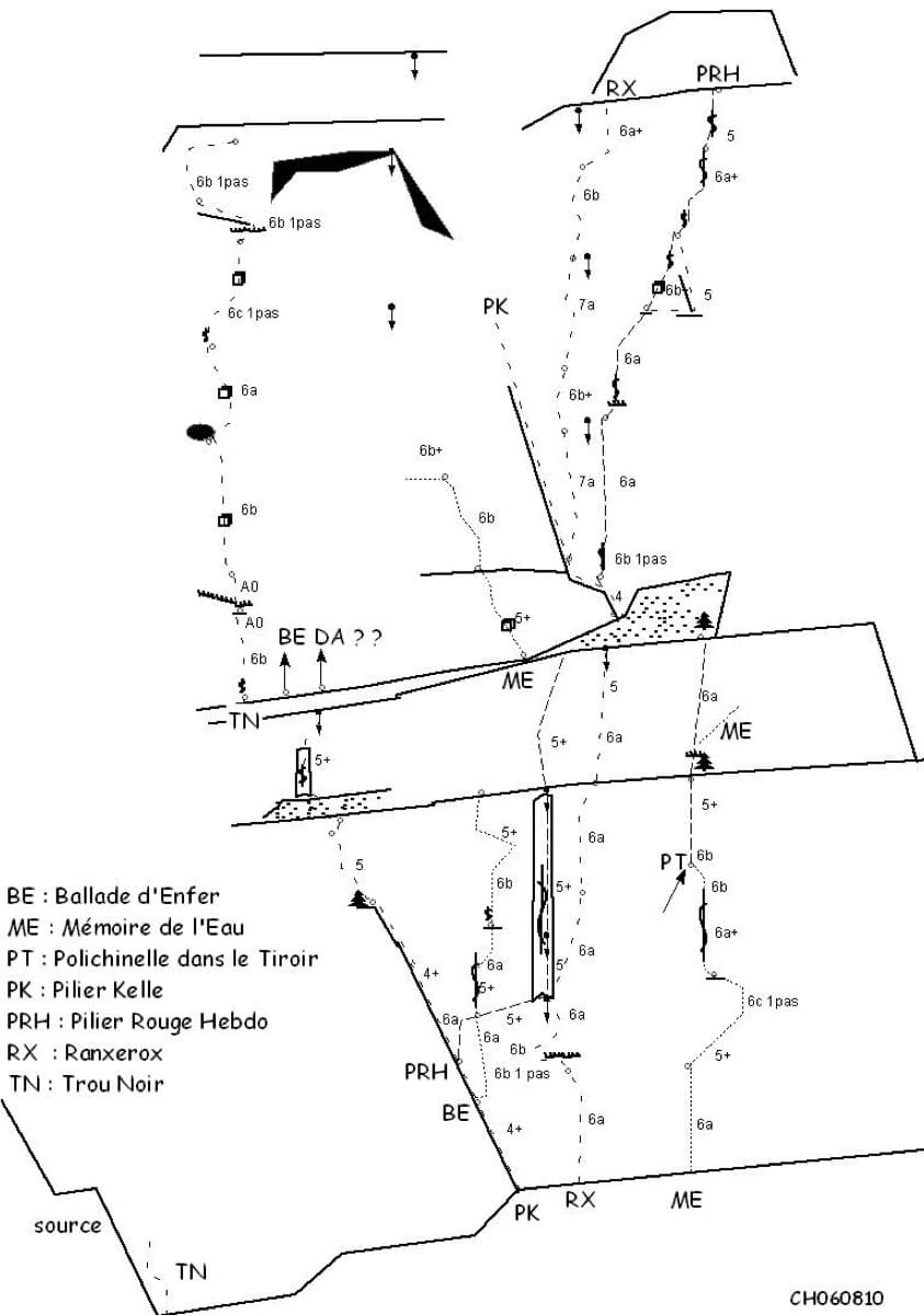
Sketch topo of the Ranxerox sector of the Tête d'Aval; La mémoire de l'eau is the line marked ME

France · Briançonnais

La mémoire de l'eau

One of the most admired lines on the Tête d'Aval: eleven sustained pitches, first up steep cracks and walls, then across orange limestone studded with small spikes. The grade is 6c with a 6c+ passage that has a fixed sling for aid, and 6b is obligatory. Parties advise being comfortable at 6c, because the bolting is sound but not generous.

6c+11 pitches300 m

Read the cautions
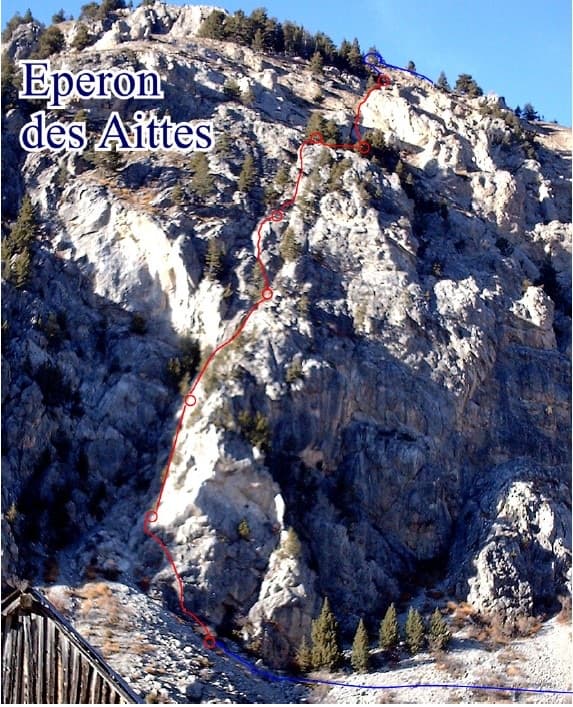
Photo-topo of the Éperon des Aittes above the Fonts de Cervières road, with El Boboch drawn in red

France · Briançonnais

El Boboch

A beginner's multipitch on a limestone spur above the Fonts de Cervières road, five minutes from the car. The first four pitches give real climbing at 3c to 4c on slabs and short walls; above that the route is mostly walking and scrambling on earthy, stony ground to the crest. Follow the expansion bolts, not the army glue-ins, for the better rock and less rope drag.

4c8 pitches250 m

Hand-drawn topo of Joli coup Baron showing the three steps, the walks between them and the pitch grades

France · Briançonnais

Joli coup Baron

Twelve short pitches up three separate quartzite steps on the west side of the Rocher Baron, ten minutes from the road in the Durance valley south of Briançon. It starts very easy and steepens as it goes: the top step has the 5a bulge and the best climbing. A first multipitch, low and quick to reach, with road noise on the lower part.

5a12 pitches210 m

The multipitch wall of Le Ponteil above Champcella

France · Briançonnais

La diagonale de gauche

The gentlest way up the big limestone wall of Le Ponteil: short walls and slabs that slant leftwards across the south-west facet, with a ledge walk in the middle. Most of it is 4b to 5c on very featured rock; one well-bolted move round a block gives the 6a. It gets better as it goes, and pitches 4 and 6 are the ones people remember.

6a7 pitches200 m

Around 6c · about 6 pitches

Similar elsewhere

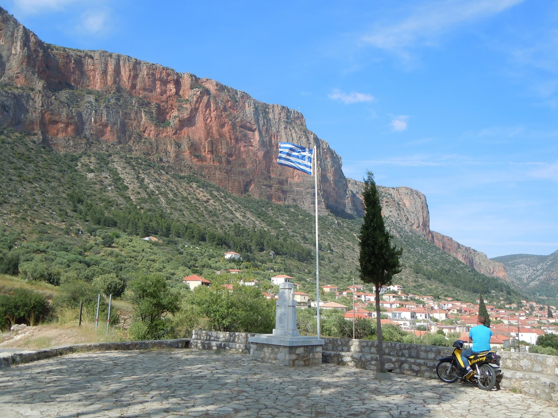
The red Kokkinovrachos wall above the rooftops of Leonidio, seen from Agios Nektarios.

Greece · Leonidio & Kyparissi

Aramis

Six sustained pitches up the red wall above Leonidio, four of them 6c. The climbing is steep and on good holds, with a 3 m boulder problem on the last pitch and a long 6a+ to start. The bolts are close enough to let you concentrate on the moves.

6c6 pitches200 m

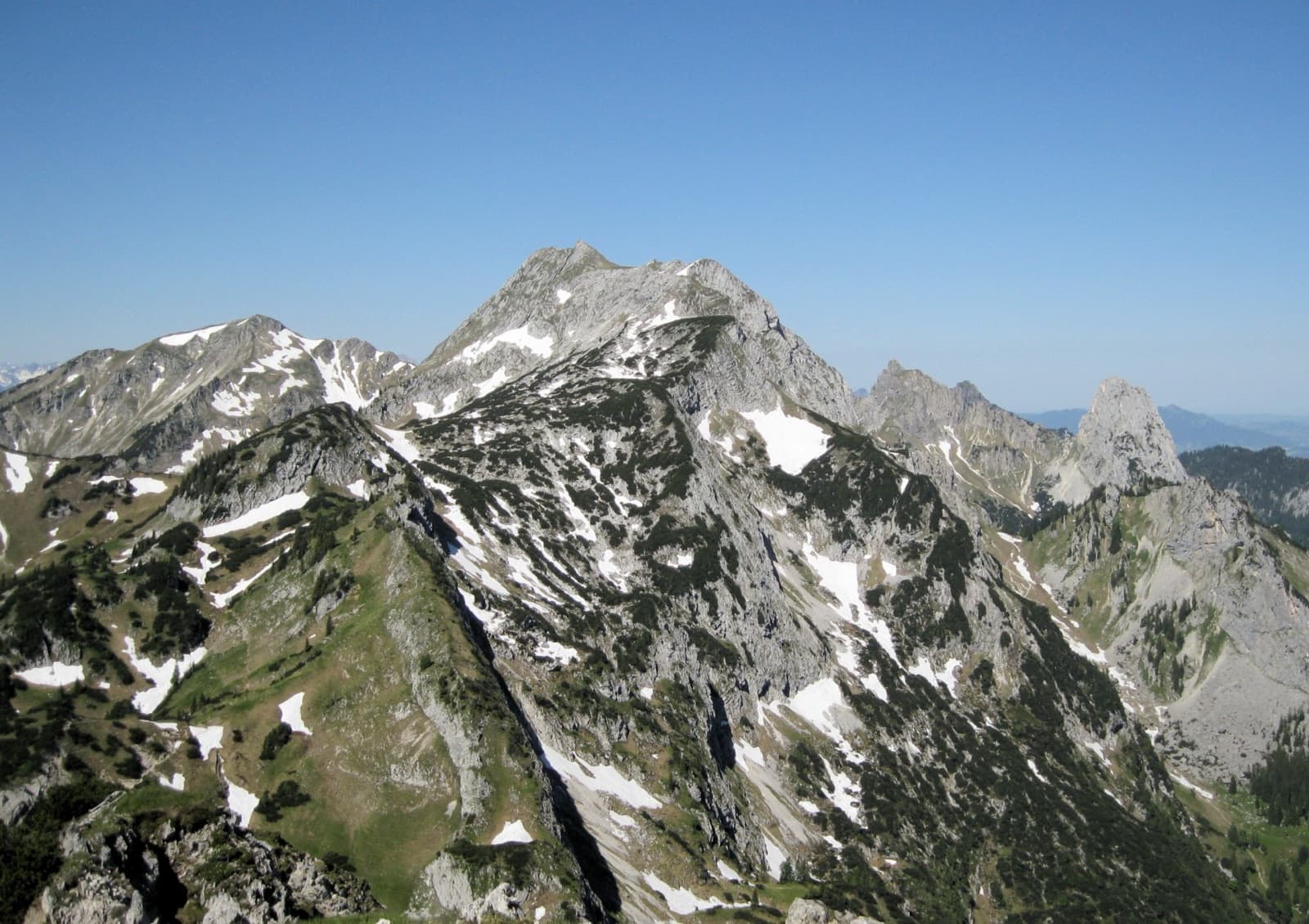
A view of the region, not this route's wall. The Hochplatte in the Ammergau Alps seen from the east in early summer; the Schlössel crag is on this side of the massif but cannot be picked out.

Germany · Ammergauer Alpen

Besser leben mit M.

Six sustained pitches up stepped diagonal corners, compact slabs and steep walls on the very rough limestone of the Kenzenkopf, an hour from the Kenzenhütte. The first pitch is the hardest, at UIAA 7 to 7+ with acrobatic moves on holdless slabs; the rest stays between 6 and 7. Sunny until late afternoon and far quieter than the Geiselstein.

6c6 pitches180 m

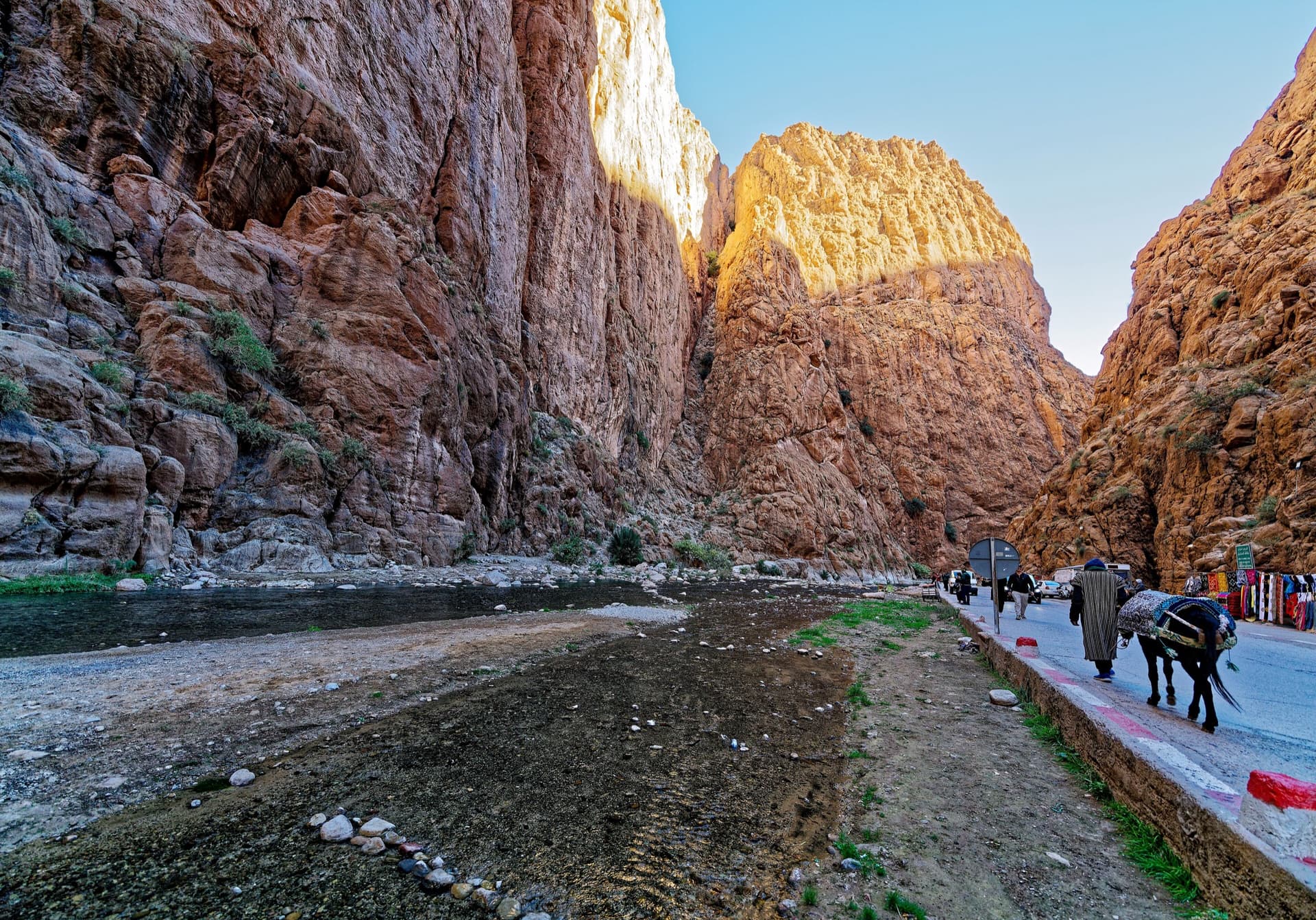
The narrows of the Todra Gorge in late afternoon light, a few minutes' walk upstream of the Mansour wall; a view of the gorge, not of this route's wall.

Morocco · Todra Gorge (Todgha)

Cœur de Palmier

Six pitches of technical wall and corner climbing one minute from the gorge-entrance guesthouses. Easy pitches alternate with three hard ones, and the 6b+ fourth pitch and the 6c last pitch are precise, footwork-heavy climbing on very rough rock. The route stops in the middle of the wall and you abseil off.

6c6 pitches160 m

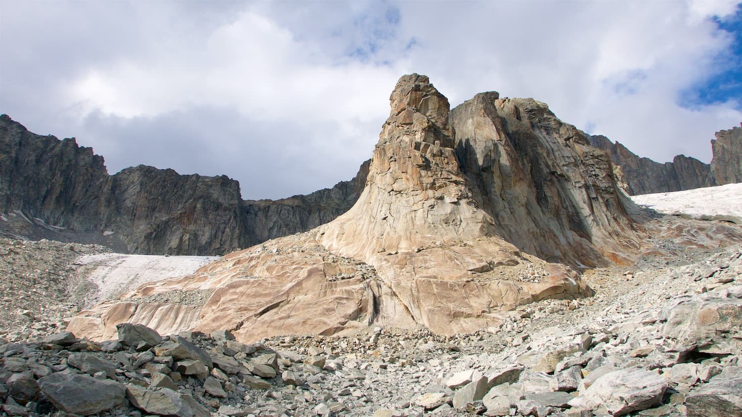
The Hannibalturm above the moraines of the Sidelen glacier

Switzerland · Furka

Kassensturz

The right-hand route on the Hannibalturm and the hardest of its plaisir lines. Two slab pitches lead to a layback crack, an awkward overhanging crack and corner, and a bulge above an athletic layback that gives the 6c crux. The first pitch is easy for the grade but boldly bolted.

6c6 pitches170 m

Read the cautions

Compiled from published sources and last verified October 2026. Bolts, anchors and access change. Climbing is dangerous and you are responsible for your own decisions: check a current topo and read the disclaimer.