Multipitch Atlas

Schneekar-Schmankerl

Treffauer – north face plinth (Schneekar) · Wilder Kaiser · Austria

Bail with caveatsBolting confidence: medium

The third route on the shady plinth next to König der Löwen and Via Max. Rough water runnels and steep, rough wall passages, a pleasure when dry, with the 7- crux in a runnel on the third pitch. A route for hot summer days with views of the Kopfkraxen south face and the Hintersteiner See.

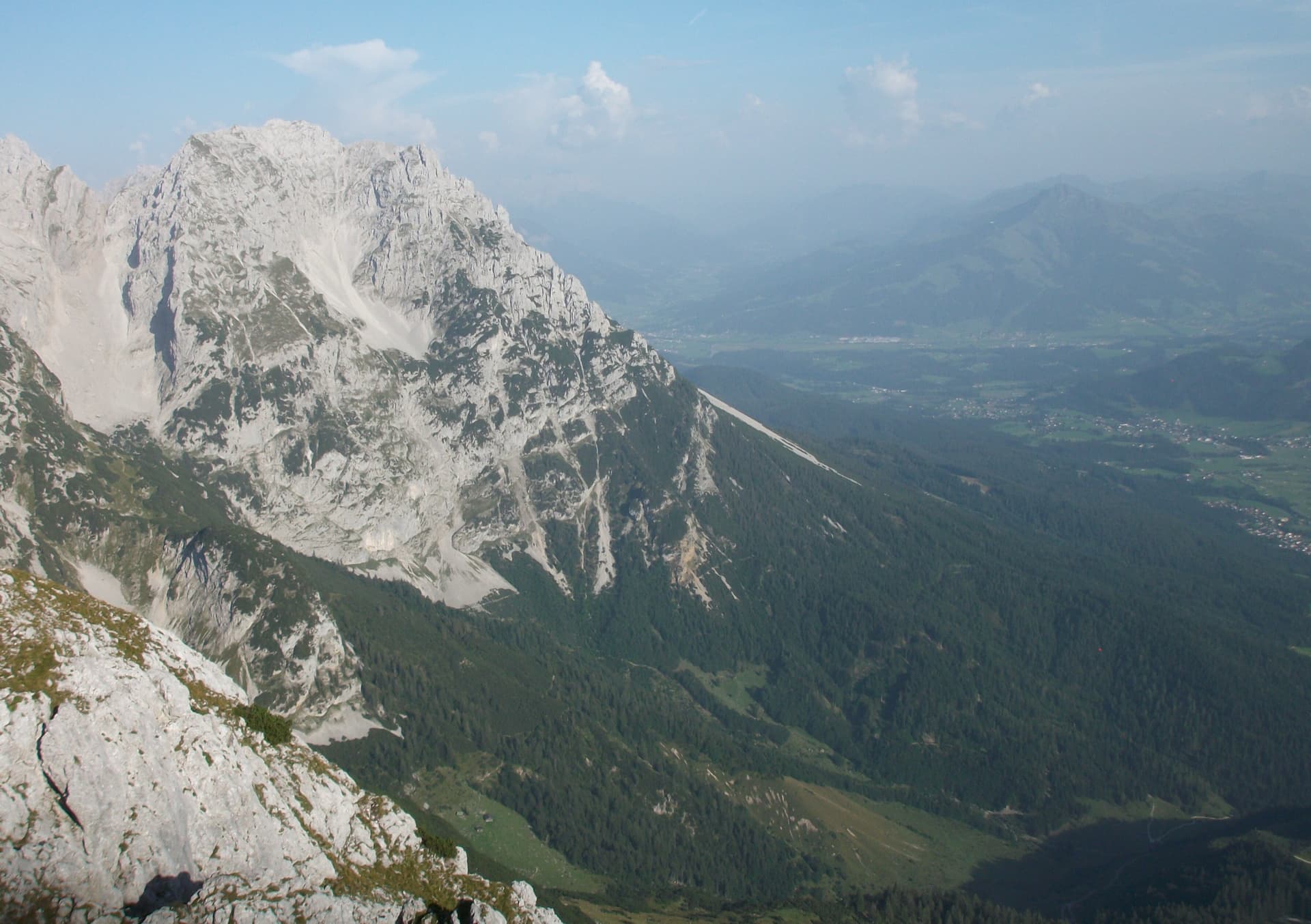
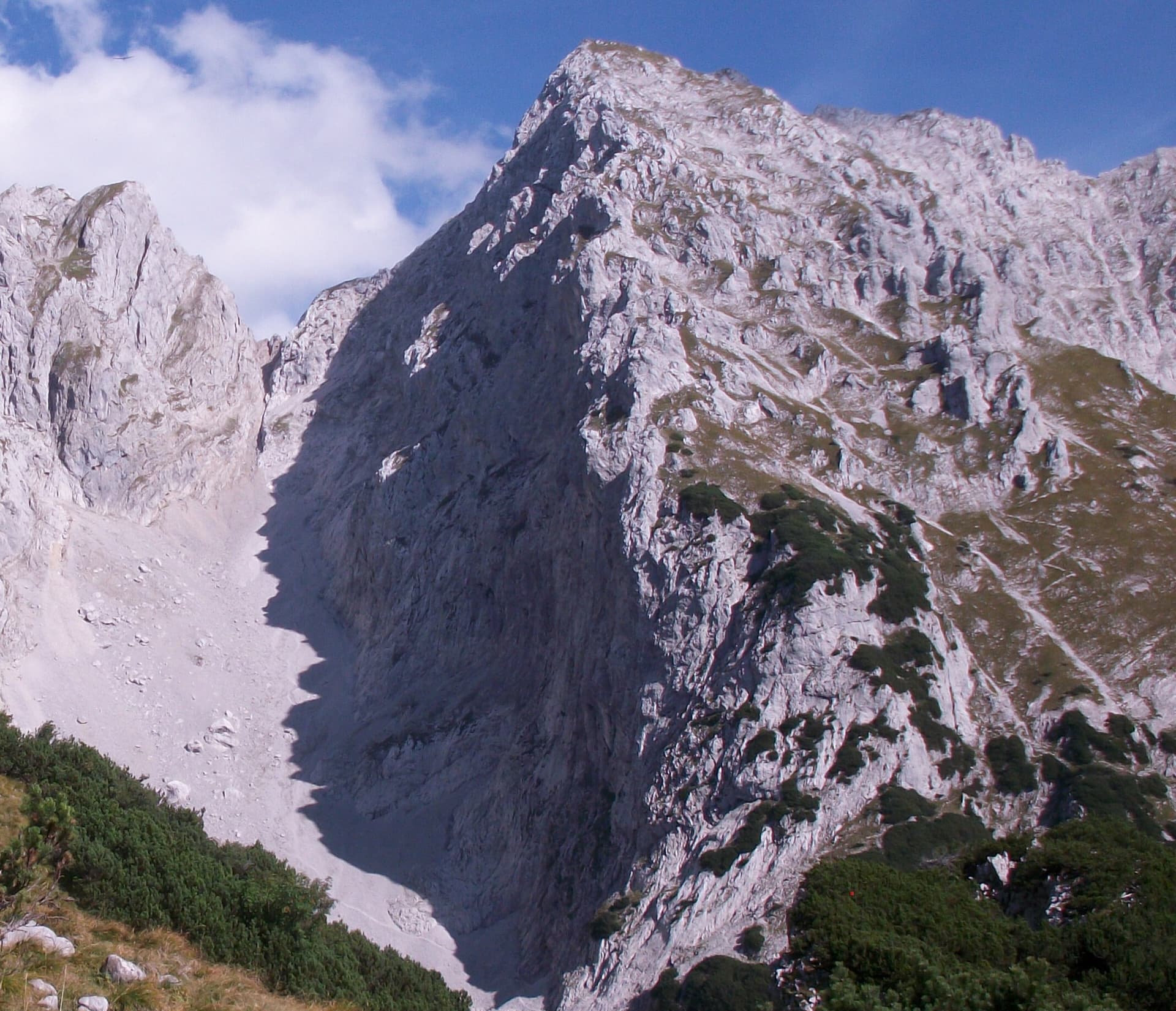
A view of the region, not this route's wall. The Schneekar cirque and the north side of the Treffauer in the Wilder Kaiser; the route climbs the lower rocks of this flank, but the exact line is not marked.Photo: Stefan.straub · CC BY-SA 4.0

Photo

A view of the region, not this route's wall. The Schneekar cirque and the north side of the Treffauer in the Wilder Kaiser; the route climbs the lower rocks of this flank, but the exact line is not marked.Photo: Stefan.straub · CC BY-SA 4.0
Hardest pitch
6b
Pitches
7
Length
270 m
Approach
120 min
Aspect
N
North-facing
Rope
2×60 m

The route

Overview

Schneekar-Schmankerl starts from the same first belay area as Via Max, on the north-facing plinth of the Treffauer above the Schneekar. After an easy scramble it follows water runnels and steep walls for about 270 m, with one passage of UIAA 7- on the third pitch and several of 6 to 6+. The bolting is good and the wall is in shade until the afternoon, which is the point of the route in summer. The friction on the runnels depends on dry rock. You walk off down the Treffauer normal path.

The climbing

Pitch by pitch

Pitches of Schneekar-Schmankerl
PitchGradeNotes
P12A scrambling pitch (UIAA 1 to 2) with two threads and, higher, two bolts, to the left-hand belay with two bolts. Via Max uses the right-hand belay.
P2–Water runnels; not described in detail in open sources.
P36bThe crux pitch: a 7- move in the final water runnel.
P4–A steep pitch.
P5–Starts steeply on good pockets.
P6–A rib on the ridge, the second-to-last pitch, to a belay with a view of the Kopfkraxen south face.
P7–The last pitch, on brittle rock that needs care, to the exit by a block on the meadow.

Getting there

Approach

To the parking

Scheffau am Wilden Kaiser is on the B178 between Wörgl, Kufstein and St. Johann in Tirol. In the village turn off at Gasthof Maikircher towards the Jägerwirt and follow the road to the pay car park Wegscheid (883 m), just below the restaurant. By public transport, take the KaiserJet or the post bus to the stop Scheffau Dorf and walk about 30 minutes to the car park. Climbers Paradise also describes an e-bike approach from the free car park by the Scheffau council offices to the end of the forest road below the Wegscheid-Hochalm (4.4 km, 560 m of ascent), which leaves about 30 minutes on foot.

On foot · about 120 min

From the car park below Gasthof Jägerwirt walk up towards the Treffauer, pass a small waterfall on its right and climb through the dwarf pines to the start of the Schneekar. König der Löwen starts where the Treffauer normal path leaves the cirque to the right. For this route continue a little further up along the rock to a level spot with small boulders, the sack depot. From there cross the scree to the wall. Allow 2 hours.

Map of the walk-in

  • Route base
  • Parking

Loading map

The point marks the base of the route.

Coordinates · route base

47.55794, 12.28054

Parking

47.53660, 12.26610

Pay car park Wegscheid below Gasthof Jägerwirt, Scheffau

Point from bergsteigen.com map marker (route base)

For your phone or watch

Download GPX

Contains the route point and parking. Opens in most mapping apps and GPS watches.

Points are compiled from published sources, with the precision stated above. They were not surveyed on the ground: check them against a current topo.

Getting down

Descent

From the end of the route, by a block on the meadow, go down a short way, then traverse horizontally to the Treffauer normal path, which is already in view, and follow it down. bergsteigen.com allows 1 h 15 for the descent.

Retreat

Bailing off the route

Bail with caveats

The normal descent is on foot from the top. bergsteigen.com lists 60 m double ropes 'possibly for abseiling', and the neighbouring Via Max is abseiled, so a retreat down the bolted belays should work from the lower pitches. It is not described pitch by pitch.

Retreat from
Bolted belays on the lower pitches (inferred).
Point of no return
Not documented. Above the rib of pitch 6 it is quicker to finish and walk off.
Carry
Two 60 m ropes; maillons and cord in case the belays are not rigged for abseiling.
Basis
Inferred from the route factsOnly the rope note on bergsteigen.com hints at abseiling; how the belays are rigged is not stated.

Partly inferred from the route facts

Safety

Hazards

  • The last pitch is on brittle rock.
  • Damp runnels: the crux and the other runnel sections depend on friction.
  • Snow can lie in the Schneekar early in the season (inferred from the name and aspect; not stated for this route).

Sun and weather

Conditions

North facing: the route only gets sun in the afternoon. After rain wait for a dry day, because the water runnels lose their friction when damp. Climbers Paradise gives June to October for this plinth. Climbers Paradise puts the start of the neighbouring Via Max at about 1700 m.

Usual season · Jun to Oct

Sun on the wall · N-facing

Working out the sunlit hours for this month.

  • January: not yet worked out
  • February: not yet worked out
  • March: not yet worked out
  • April: not yet worked out
  • May: not yet worked out
  • June (usual season): not yet worked out
  • July (usual season): not yet worked out
  • August (usual season): not yet worked out
  • September (usual season): not yet worked out
  • October (usual season): not yet worked out
  • November: not yet worked out
  • December: not yet worked out

Sun on the wallDaylight, wall in shade● Usual season

Estimated from the wall's aspect only. Ignores surrounding terrain, gullies and the wall's exact shape. Clock times are local to the wall (Central European time), for the 15th of each month.

Monthly climate averages for Wilder Kaiser, 1991-2020
MeasureJanFebMarAprMayJun (usual season)Jul (usual season)Aug (usual season)Sep (usual season)Oct (usual season)NovDec
Mean daily high °C−4−315101415151171−4
Mean daily low °C−14−13−9−6−13551−3−9−13
Rain days 1 mm or more131317162121211816141314

● marks the usual climbing season. Averages for 1991-2020 at about 1717 m. Area climate from Open-Meteo reanalysis. Temperatures are adjusted to the height of the crag; rain comes from a grid cell of about 10 to 25 km, and summer highs on sea cliffs can read a few degrees low. The wall and valley can differ. Data: Open-Meteo, CC BY 4.0.

What to carry

Gear

60 m double ropes (bergsteigen.com adds 'possibly for abseiling'), 13 quickdraws and a helmet. No nuts or cams.

Checklist

Quickdraws
13
Rope
2×60 m
Helmet
One each
Maillons or spare karabiners
To leave behind if you retreat
Cord
Mentioned for retreat

Derived from the route data; check it against a current topo

From climbers

Reader reports

Reader reports are not being collected yet. Until they are, check a current topo and the local club or guidebook publisher for recent changes to Schneekar-Schmankerl.

Worth knowing

Tips

  • Leave your sacks at the level spot with the boulders; the walk-off does not pass the foot of the route but comes back down the normal path nearby.
  • König der Löwen and Via Max start a few metres away if the route is occupied.

Open questions

Where sources disagree

  • Single detailed source. Climbers Paradise and tirol.at describe the plinth and its two older routes but do not list this one.
  • The pitch count of 7 is inferred from the bergsteigen.com photo captions (a scramble pitch, pitches 2 to 5, a 'second-to-last' rib pitch ending at 'the belay after the 6th pitch', and a last pitch). The topo is behind a login, so per-pitch grades and lengths are not published openly.
  • Dates: the bergsteigen.com page shows an information date of 9 June 2017 but gives the first ascent as July 2020. The first-ascent date is taken as given and the page date is treated as unreliable.
  • Protection wording: 'very good' in the header, 'well bolted' in the remark field.

Provenance

Sources

Same area

More in Wilder Kaiser

All routes in Wilder Kaiser
The Schneekar cirque and the north side of the Treffauer in the Wilder Kaiser; the route climbs the lower rocks of this flank, but the exact line is not marked.

Austria · Wilder Kaiser

König der Löwen

Nine pitches of easy slabs and water runnels beside the Treffauer normal route, UIAA 5 at most if you take the easy variant on pitch 4. Lots of bolts and friendly ground make it one of the most popular routes in the Schneekar. The rock is not solid everywhere and the walk-in is two hours.

5a9 pitches280 m
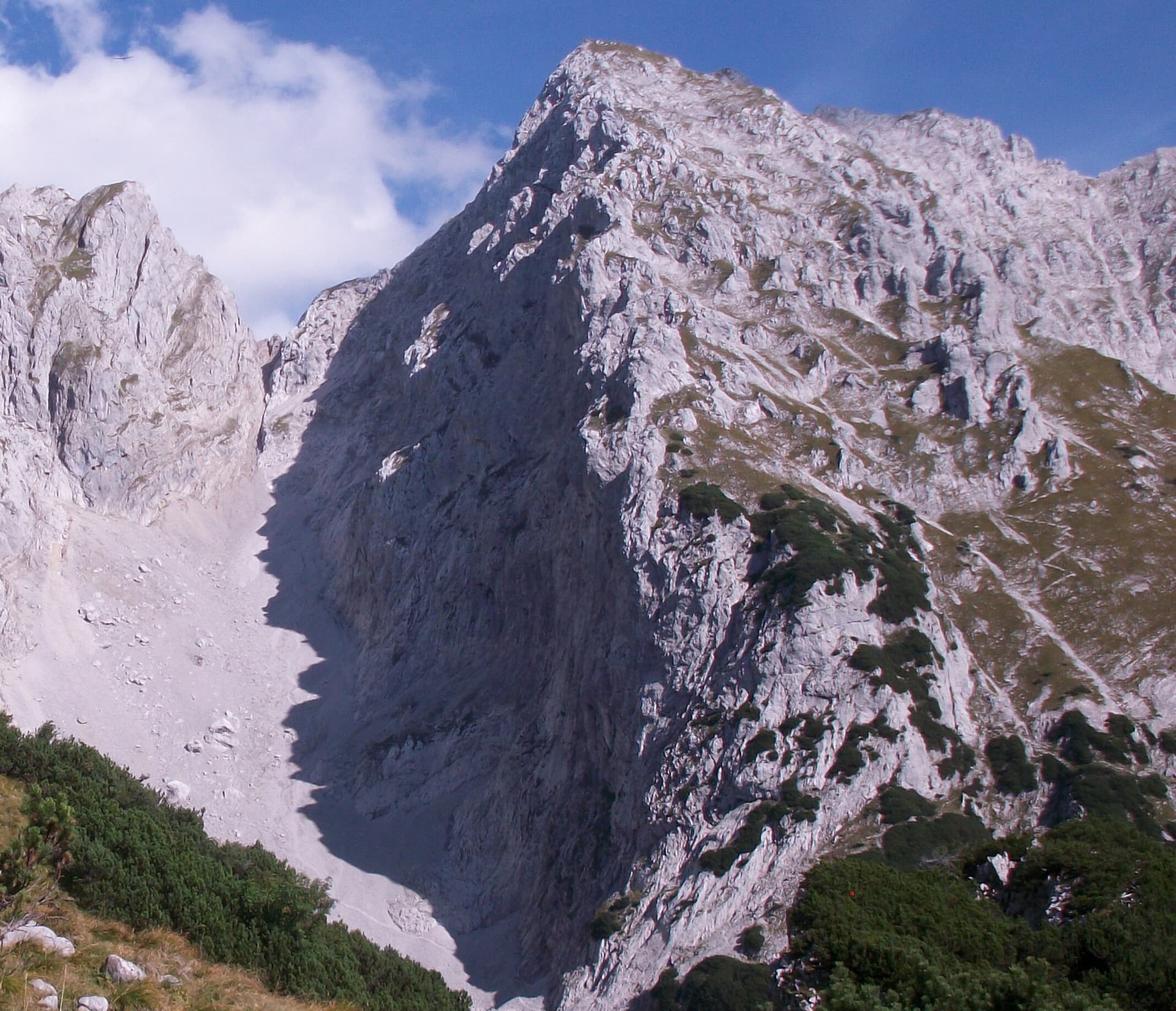
The Schneekar cirque and the north side of the Treffauer in the Wilder Kaiser; the route climbs the lower rocks of this flank, but the exact line is not marked.

Austria · Wilder Kaiser

Via Max

A short alpine sport route in the Schneekar that steepens as it goes: a scrambling start, fine water runnels on rough rock, then a smooth slab into an overhang on pitch 4. The crux is UIAA 7 to 7+ and can be aided on the bolts.

6c5 pitches180 m

The Treffauer seen from the west, with the Wegscheid pastures below; the Multerkar plinth routes are on the lower rock band of this side

Austria · Wilder Kaiser

RWI

With König der Löwen, the most climbed route on the walls above Scheffau. Nine pitches of slabs, steep walls and small pillars at UIAA 5 to 6, with one short squeeze through a cleft and a walking pitch across a big ledge. It faces south-west and suits spring and autumn days.

6a9 pitches295 m

A view of the region, not this route's wall. The Schneekar cirque and the north side of the Treffauer in the Wilder Kaiser; the route climbs the lower rocks of this flank, but the exact line is not marked.

Austria · Wilder Kaiser

Tour für Abenteurer

Also listed as Sappl-Zott. The heart of the route is a deep chimney that takes you about 50 m inside the mountain, well bolted and enjoyable where chimneys usually are not. Slab and wall pitches before and after, a traverse and a big flake on the ridge make a varied eight-pitch outing, finished by an airy abseil.

5c+8 pitches295 m

Around 6b · about 7 pitches

Similar elsewhere

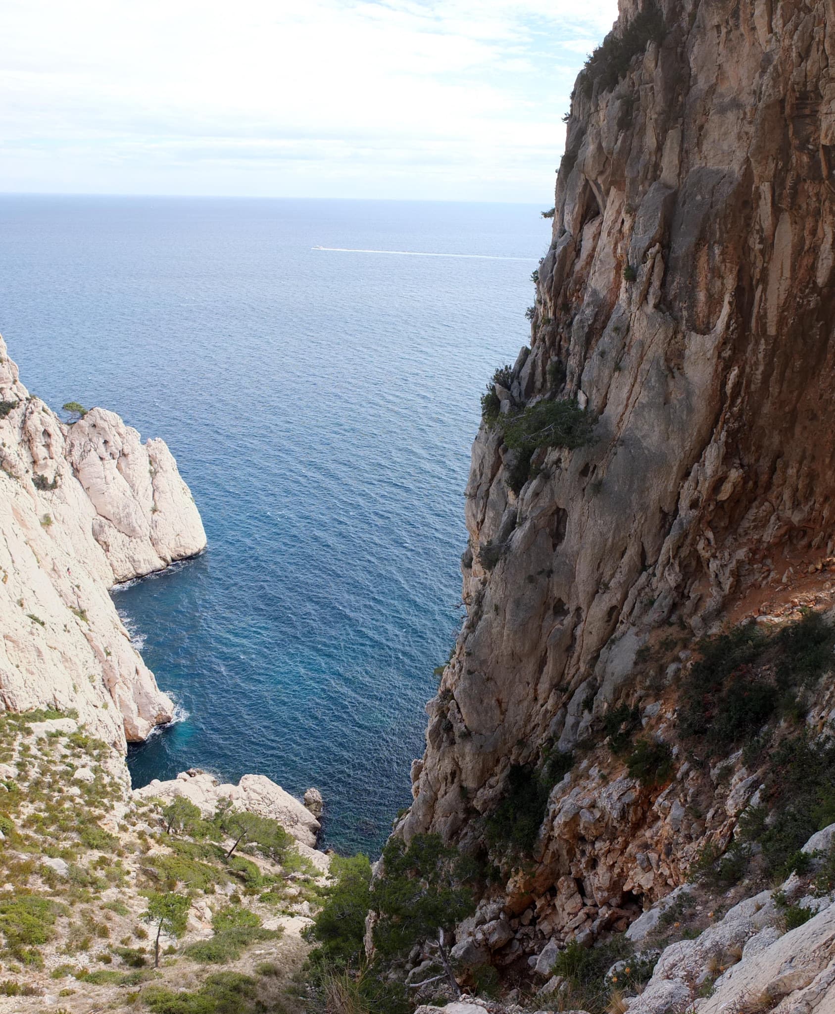
The Calanque de l'Eissadon and its cliffs seen from above

France · Calanques

Avec Toi, C'est Extra

A big, remote wall climb from the sea to the plateau on the east end of the Devenson cliffs, above the Calanque de l'Eissadon. After two easier pitches it is continuous at 6a+ to 6b up white walls and a striking vein of aragonite, technical on the feet and vertical. Four abseils and a two-hour walk each way make it a full day at the end of the world.

6b7 pitches215 m

Read the cautionsCommitting

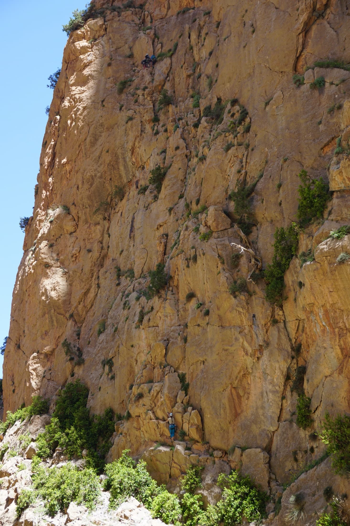
The orange limestone of the Paroi des Sources at Taghia, with climbers on its routes.

Morocco · Taghia

Les babouches de Mostafa

The friendly way into Taghia, starting at the water's edge beside the springs. Seven varied pitches, well bolted by Taghia standards. Go left around the unstable rock below the second belay; fragile blocks are marked in red. In shade until midday.

6b7 pitches270 m

Committing

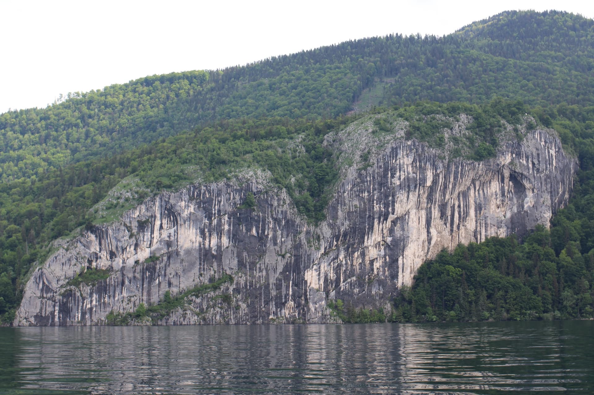
The Falkensteinwand rising from the Wolfgangsee, seen from the lake

Austria · Salzkammergut

Seenot

The best known multipitch route of the Salzkammergut: seven pitches straight out of the Wolfgangsee. You abseil in from the top of the Falkenstein cliff, or arrive by boat, and start from a hanging belay at the waterline. Mostly grade 5 slabs with exposed traverses, then a steep section and a holdless corner equipped with artificial holds.

6b7 pitches185 m

Committing

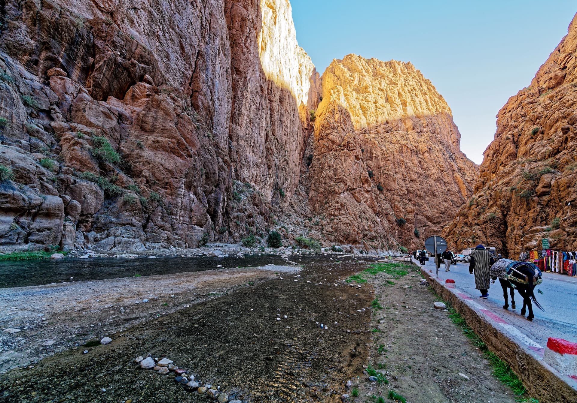
The narrows of the Todra Gorge in late afternoon light, a few minutes' walk upstream of the Mansour wall; a view of the gorge, not of this route's wall.

Morocco · Todra Gorge (Todgha)

Tiwira

A long, moderate line above the Mansour palm grove at the upstream end of the gorge. Mostly steady 5c with a 6a crack to start and a harder, very abrasive finish. Big views up the valley.

6b7 pitches300 m

Compiled from published sources and last verified October 2026. Bolts, anchors and access change. Climbing is dangerous and you are responsible for your own decisions: check a current topo and read the disclaimer.