
Austria · Salzkammergut
Wöitroas
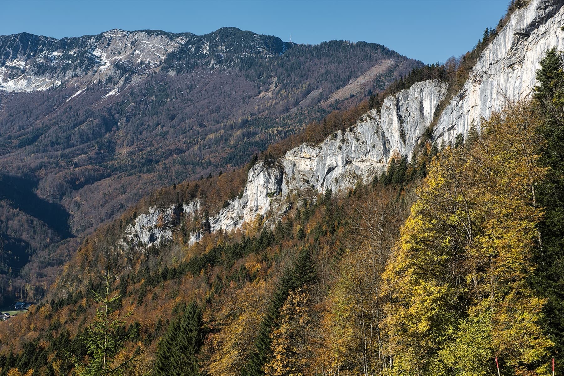
A modern (2016–19) plaisir route that mixes nice climbing with scrambly and wooded sections. One pitch is UIAA 6/6+ and one is 6; the rest is easier. Quick in and out.
6a+9 pitches270 m
Falkensteinwand, Wolfgangsee (Fürberg, St. Gilgen) · Salzkammergut · Austria
CommittingBolting confidence: high
The best known multipitch route of the Salzkammergut: seven pitches straight out of the Wolfgangsee. You abseil in from the top of the Falkenstein cliff, or arrive by boat, and start from a hanging belay at the waterline. Mostly grade 5 slabs with exposed traverses, then a steep section and a holdless corner equipped with artificial holds.
The route
Seenot ('distress at sea') climbs the south-facing Falkensteinwand, which drops straight into the Wolfgangsee between Fürberg and St. Wolfgang. The start is exactly at the waterline and cannot be reached on foot: you either walk to the top of the cliff and abseil in, or come by boat. The climbing is mostly on slabs in the fifth grade, with two traverses, a steep fourth pitch at UIAA 7- and a smooth corner on the sixth that most people climb with the bolted-on plastic holds. The bolting is very close, so the hard passages go at 6-/A0. The name is said to date from the first ascent in 1994, when a thunderstorm forced the party to be picked up by the water rescue.
The climbing
| Pitch | Grade | Length | Notes |
|---|---|---|---|
| P1 | 5+ | 25 m | UIAA 5+. From the hanging belay just above the water. The first move onto dry rock is slippery if you arrive by water. |
| P2 | 5c+ | 28 m | UIAA 6. Already somewhat steeper. |
| P3 | 4c | 37 m | UIAA 4+. Pitches 3 and 4 can be linked (15 bolts), with a lot of rope drag. |
| P4 | 6b | 28 m | UIAA 7-, the hardest pitch on theCrag's list. The hard moves can be aided on the bolts. |
| P5 | 5c | 25 m | UIAA 6-. bergsteigen.com shows a traverse leading to the steep corner. |
| P6 | 6a+ | 25 m | UIAA 6+. The steep, holdless corner, fitted with bolted-on artificial holds placed so that you still climb on rock in between. |
| P7 | 5c+ | 32 m | UIAA 6. The last pitch to the belay with a metal plaque; Bergwelten calls the final metres a bonus. |
Getting there
Leave the A1 at Mondsee (from the east) or Thalgau (from Salzburg) and drive to the hamlet of Winkl, just east of St. Gilgen. Turn off there to Fürberg; the road ends at the lake. The car parks at Fürberg fill quickly. By public transport take the bus to Winkl and walk.
From Fürberg follow the Way of the Cross towards St. Wolfgang, Falkenstein and Scheffelblick up the steep forest track to station X, and turn right there towards Scheffelblick, Aberseeblick and Gschma Platzl. A little before the Scheffelblick you come to a small rock with a red-white-red mark and, to its right, a tree with a reflector for the mountain rescue; if you reach the yellow signposts you have gone too far. Leave the path to the right here and follow faint tracks to a meadow. Go down a little to where the path forks, a good place to leave sacks. Take the right-hand path slightly downhill to a fixed rope that leads to the abseil point, marked by a plaque. Abseil five times on a 70 m single rope to the water, always using the stations with chains, which are on the left as you look down. Allow 30 minutes to the abseil point. By boat it is about 20 minutes' rowing from Fürberg: land about 20 m left of a cross on the rock at three bolts, where a short fixed rope leads to the first belay.
Loading map
The point marks the base of the route.
Parking
Car park at Fürberg on the lake shore (fills quickly)
Point from bergsteigen.com map marker 'Einstieg (ungefähr)'
Contains the route point and parking. Opens in most mapping apps and GPS watches.
Points are compiled from published sources, with the precision stated above. They were not surveyed on the ground: check them against a current topo.
Coordinates: 47.75777, 13.39738 (route base) · Parking: 47.76530, 13.39170
Getting down
From the last belay follow faint tracks up through steep bushes, best still roped, and traverse left at the top to the sack depot. Walk back to Fürberg by the approach path. If you came by boat, go to the abseil point and abseil back down to it.
Retreat
Committing
The abseil piste only takes you down to the lake, so without a boat there is no retreat downwards: the way out is up the route. The close bolts let you aid the hard moves at about 6-/A0, which is the practical escape. With a boat moored at the start you can abseil back to it from the belays with chains.
Partly inferred from the route facts
Safety
Sun and weather
A hot south-facing wall rising straight from the lake; Fürberg is at 545 m and the Falkenstein summit at 717 m. Start early in summer: the holds get greasy as the sun rises. Spring and autumn are the best seasons; a photo on bergsteigen.com shows a perfect day on 20 November. From October to December you are asked to climb only between 10:00 and 14:00 out of consideration for hunting.
Sun on the wall · S-facing
Working out the sunlit hours for this month.
Sun on the wallDaylight, wall in shade● Usual season
Estimated from the wall's aspect only. Ignores surrounding terrain, gullies and the wall's exact shape. Clock times are local to the wall (Central European time), for the 15th of each month.
| Measure | Jan | Feb | Mar | Apr (usual season) | May (usual season) | Jun (usual season) | Jul | Aug | Sep (usual season) | Oct (usual season) | Nov | Dec |
|---|---|---|---|---|---|---|---|---|---|---|---|---|
| Mean daily high °C | 0 | 2 | 5 | 10 | 15 | 18 | 20 | 20 | 16 | 12 | 6 | 1 |
| Mean daily low °C | −8 | −7 | −4 | −1 | 4 | 8 | 10 | 10 | 7 | 3 | −2 | −7 |
| Rain days 1 mm or more | 14 | 14 | 17 | 16 | 21 | 21 | 20 | 18 | 16 | 14 | 13 | 15 |
● marks the usual climbing season. Averages for 1991-2020 at about 1004 m. Area climate from Open-Meteo reanalysis. Temperatures are adjusted to the height of the crag; rain comes from a grid cell of about 10 to 25 km, and summer highs on sea cliffs can read a few degrees low. The wall and valley can differ. Data: Open-Meteo, CC BY 4.0.
What to carry
A 70 m single rope, 13 quickdraws and a helmet. With the single rope the abseil in takes five stages and the rope is easier to keep out of the water. Double ropes also work: a Bergwelten party abseiled the wall in three stages on 50 m half ropes. A long cord for mooring if you come by boat.
Derived from the route data; check it against a current topo
From climbers
Reader reports are not being collected yet. Until they are, check a current topo and the local club or guidebook publisher for recent changes to Seenot.
Worth knowing
Open questions
Provenance
Same area
Austria · Salzkammergut
A modern (2016–19) plaisir route that mixes nice climbing with scrambly and wooded sections. One pitch is UIAA 6/6+ and one is 6; the rest is easier. Quick in and out.
6a+9 pitches270 m
Austria · Salzkammergut
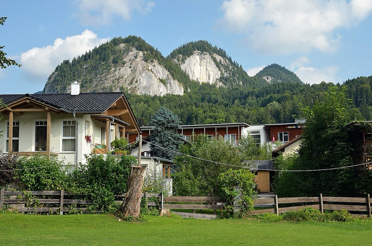
Five easy pitches up an edge above the Wolfgangsee, mostly UIAA 4 with a few moves of 5-. A slab low down and an exposed step across a cleft on pitch 4 are the memorable bits. A popular first multipitch.
4c5 pitches150 m
Austria · Salzkammergut
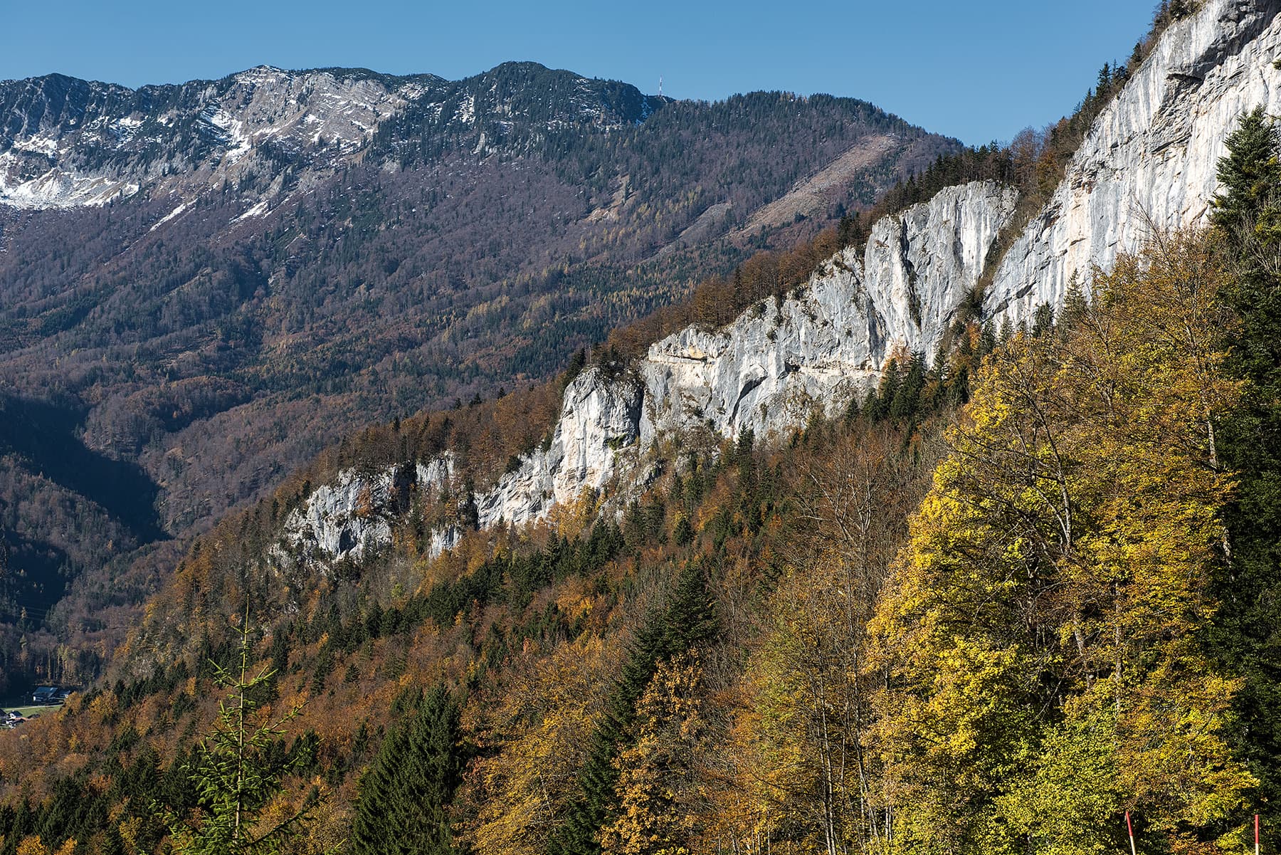
One of the most popular easy multipitch routes on the Ewige Wand. Varied climbing on grippy rock at UIAA 4 to 4+, with a long exposed traverse and one short move of 5-. The Hallstätter See and the Dachstein fill the view.
4c5 pitches150 m
Austria · Salzkammergut
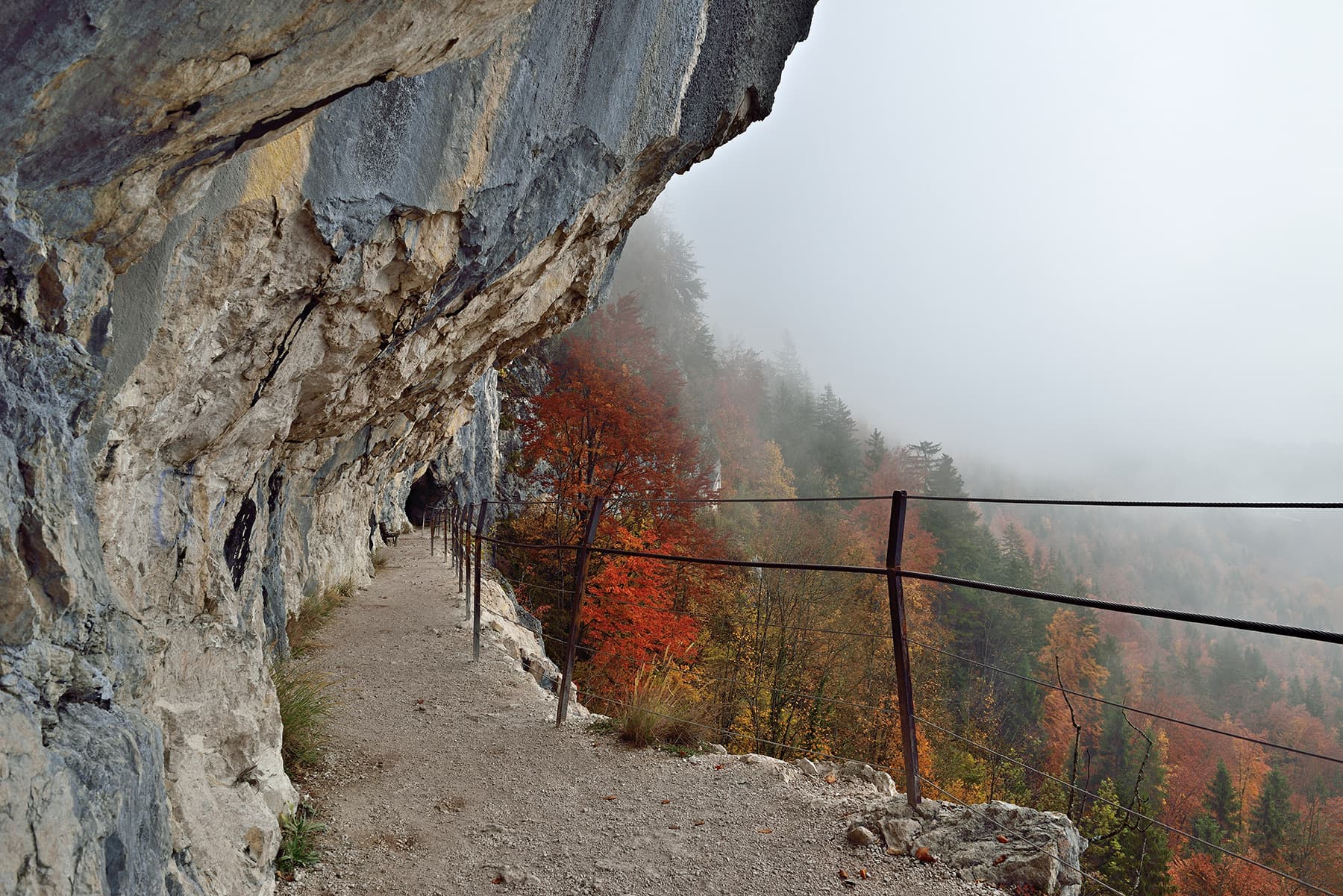
The slightly harder neighbour of Reise durchs gelobte Land, just to its left, and climbed very often. Six short pitches with the crux, a traverse at UIAA 6-/6, on the second; the rest is 5 or easier. A few short passages are less attractive, among them an earthy ledge with a fixed rope.
5c+6 pitches145 m
Around 6b · about 7 pitches
France · Calanques
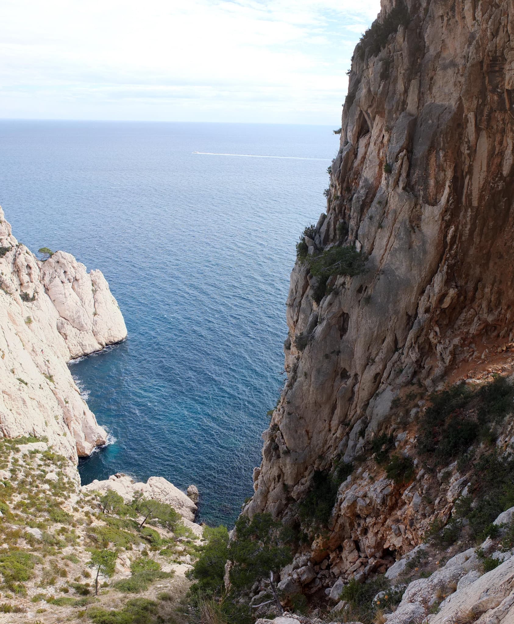
A big, remote wall climb from the sea to the plateau on the east end of the Devenson cliffs, above the Calanque de l'Eissadon. After two easier pitches it is continuous at 6a+ to 6b up white walls and a striking vein of aragonite, technical on the feet and vertical. Four abseils and a two-hour walk each way make it a full day at the end of the world.
6b7 pitches215 m
Read the cautionsCommitting
Morocco · Taghia
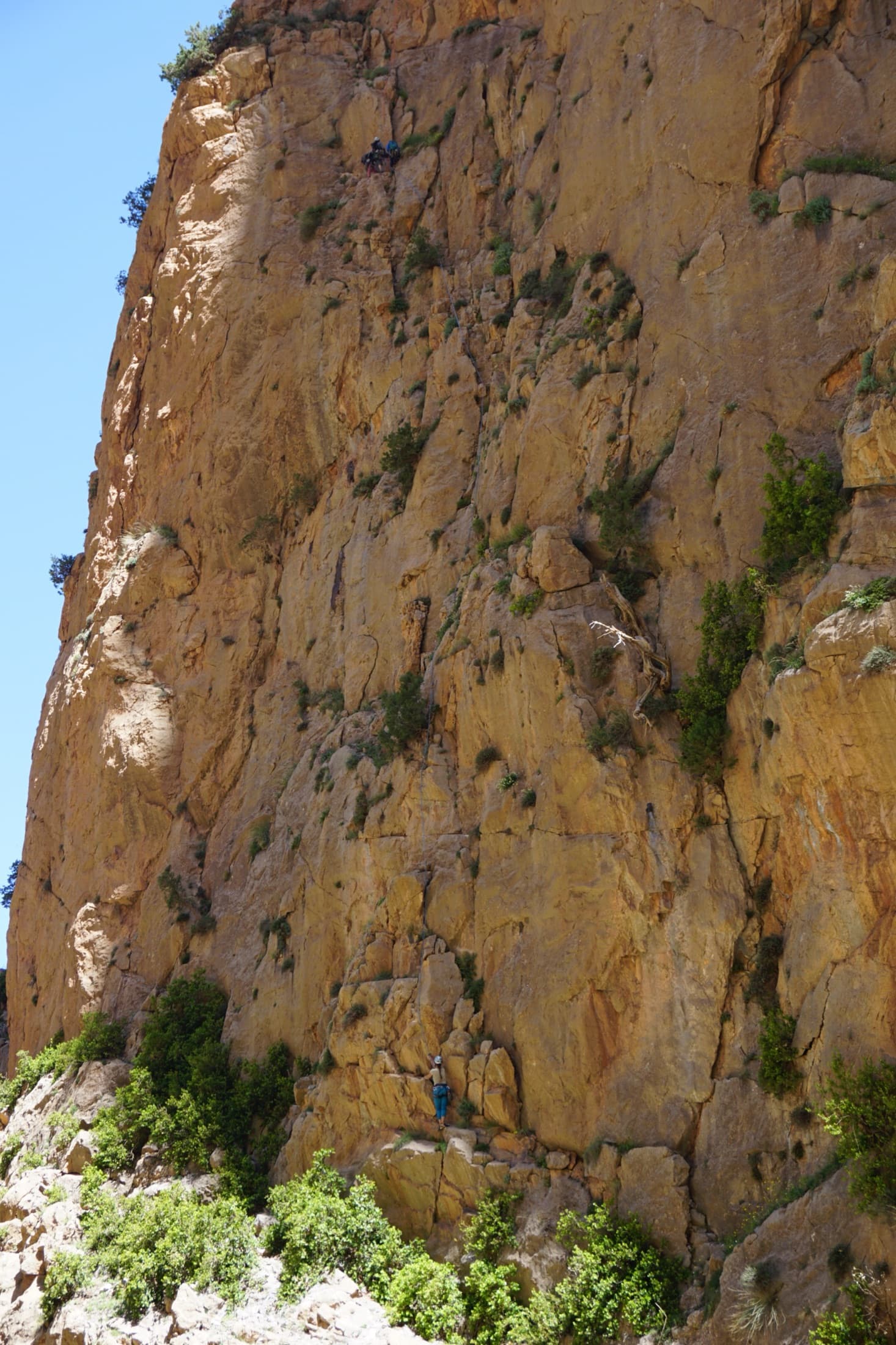
The friendly way into Taghia, starting at the water's edge beside the springs. Seven varied pitches, well bolted by Taghia standards. Go left around the unstable rock below the second belay; fragile blocks are marked in red. In shade until midday.
6b7 pitches270 m
Committing
Morocco · Todra Gorge (Todgha)
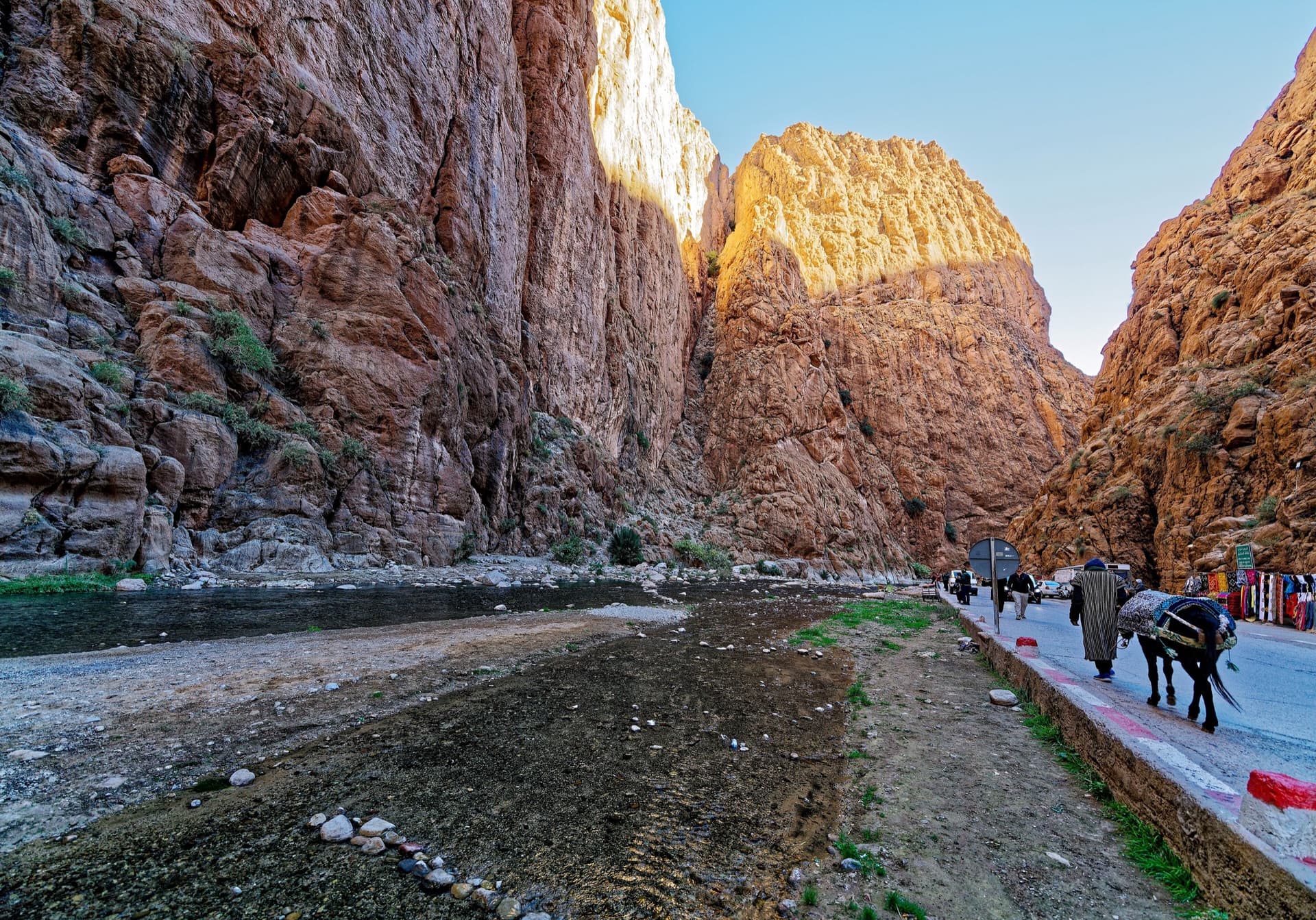
A long, moderate line above the Mansour palm grove at the upstream end of the gorge. Mostly steady 5c with a 6a crack to start and a harder, very abrasive finish. Big views up the valley.
6b7 pitches300 m
Morocco · Amellago
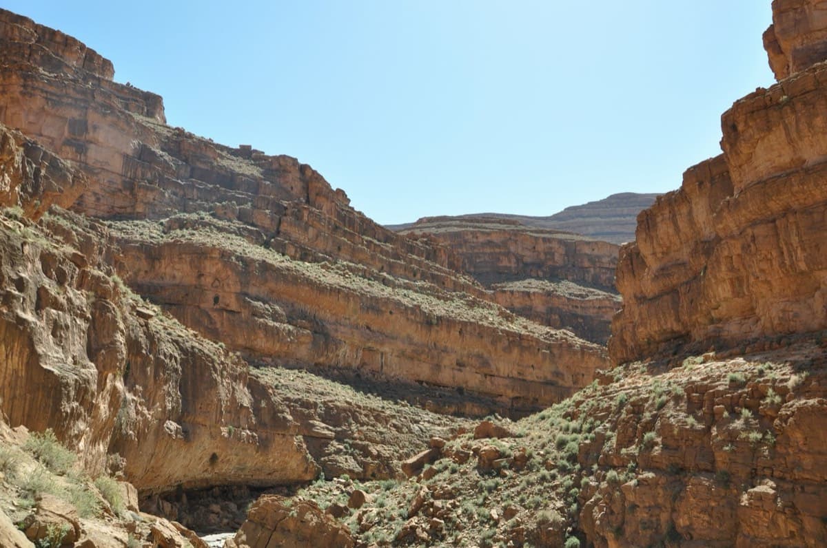
Seven pitches on very abrasive limestone beside the oued, with swimming holes below. An athletic start to the 6b second pitch; a couple of doubtful flakes on pitches 3 and 4.
6b7 pitches140 m
Read the cautions
Compiled from published sources and last verified October 2026. Bolts, anchors and access change. Climbing is dangerous and you are responsible for your own decisions: check a current topo and read the disclaimer.