Multipitch Atlas

Avec Toi, C'est Extra

Eissadon – Bonne Femme wall · Calanques · France

Read the cautionsCommittingBolting confidence: high

A big, remote wall climb from the sea to the plateau on the east end of the Devenson cliffs, above the Calanque de l'Eissadon. After two easier pitches it is continuous at 6a+ to 6b up white walls and a striking vein of aragonite, technical on the feet and vertical. Four abseils and a two-hour walk each way make it a full day at the end of the world.

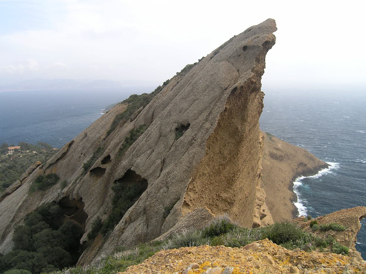
The Calanque de l'Eissadon and its cliffs seen from abovePhoto: Nolan · CC BY-NC-ND 3.0

Photo

The Calanque de l'Eissadon and its cliffs seen from abovePhoto: Nolan · CC BY-NC-ND 3.0
Hardest pitch
6b
Pitches
7
Length
215 m
Approach
120 min
Aspect
S
South-facing
Rope
2×50 m
Read before you go

Well bolted on the climb, but a remote abseil-in route with loose rock on the abseil line, about 6b obligatory and no easy way out.

The route

Overview

The Bonne Femme wall is the large south-facing face west of the Calanque de l'Eissadon, the eastern end of the Devenson cliffs and one of the most isolated corners of the Calanques. 'Avec Toi, C'est Extra' climbs it from a terrace 5 m above the sea to the plateau in seven pitches. The first is a broken step that only serves to start at sea level, and the second a long white wall; from the third the route is sustained at 6a+ and 6b with technical cruxes, following a crack line and a band of aragonite. The exposure builds gradually and is considerable from the third belay. You reach the start by four abseils from the crest, so you need to be sure of climbing out.

The climbing

Pitch by pitch

Pitches of Avec Toi, C'est Extra
PitchGradeLengthBoltsNotes
P15b25 m5 boltsA succession of steps on sometimes fragile rock to a belay in the shade of a large pine. A short traverse right leads to the start of pitch 2. Often skipped, especially in swell.
P25c50 m10 boltsA fine white wall with a more fragile passage near the top; belay on two bolts on the left. Two bolts were added on the cluttered upper part in 2016.
P36b30 m11 boltsA very technical 6b start rising to the right, with close bolts and precise footwork, then up a crack to the belay on top of the pillar.
P46a+30 m12 boltsA fairly fierce start, then a magnificent white wall following a sort of crack, with a passage on big holds in aragonite in the middle. Belay on the left in the shade of the big pine. Long and continuous.
P56b35 m11 boltsStart up a kind of flake, then a sculpted white wall with a thin, obligatory move. Bolts were moved and one added here in 2016; a 2024 party still found one passage exposed.
P66a+30 m11 boltsA white wall to a flake with a delicate move, then a vague chimney climbed by bridging to the belay on the ledge to the right.
P75c15 m6 boltsA last wall in aragonite with a delicate passage past the first three bolts, then easier to a comfortable belay on the plateau. It links with pitch 6 on a 60 m rope if you manage the drag; on 50 m a party ended up moving together for 3 m.

Getting there

Approach

To the parking

Park beside the Route de la Gineste (D559) between Marseille and Cassis, by the barrier at the Carpiagne military camp. The Route Gaston Rébuffat and the old Col de la Gardiole car park have been closed to motor vehicles since March 2019 (135 euro fine), so add 15 to 30 minutes on foot by the path to reach the old car park. The Marseille to Cassis bus no longer serves the Gineste and Carpiagne stops, at least for now.

On foot · about 120 min

About 2 hours to the abseils. From the Gineste follow the GR to the old Gardiole car park, then the En Vau track; at a junction after about 3 km take a path that climbs steeply to the Col de l'Oule (tarmac). Take the good path down into the Vallon de l'Oule; at the Puits de l'Oule leave the Devenson path on the right and descend the valley for a good kilometre to an obvious junction, where green waymarks lead right to the Col de l'Eissadon. From the col follow the crest west over a small summit; about 20 m before a small col look for the start of the 'rappels du collet' (a rusty peg, a black arrow and a faded name beside the chain). Abseil 1, 40 m: find the next anchor to the west, sheltered from stonefall, not the chained belay straight below under a pine. Abseil 2, 50 m: straight down to the end of the ropes on the slope, then a fixed rope towards a large pine, with the anchor beyond it. Abseil 3, 45 m: to the foot of the second step, then traverse 60 m right (west) to a small pine and a fixed rope leading to the last anchor. Abseil 4, 25 m: to a terrace 5 m above the water. The first three abseils can be replaced by abseiling the route 'Un Bain au Calançon'.

Map of the walk-in

  • Crag
  • Parking

Loading map

The point marks the crag, not the exact start of the route.

Coordinates · crag

43.20439, 5.48698

Parking

43.23711, 5.49951

Route de la Gineste, roadside parking at Carpiagne (camptocamp waypoint 106822)

Point from camptocamp waypoint 823919 (Calanques, Eissadon, Bonne femme)

For your phone or watch

Download GPX

Contains the route point and parking. Opens in most mapping apps and GPS watches.

Points are compiled from published sources, with the precision stated above. They were not surveyed on the ground: check them against a current topo.

Getting down

Descent

None from the top: you finish on the plateau and walk back the way you came, by the Col de l'Eissadon, the Vallon de l'Oule and the Col de l'Oule to the Gineste. About 2 hours.

Retreat

Bailing off the route

Committing

After the four access abseils you are on a terrace above the sea in a remote calanque. No walking exit from the foot of this wall is described, so the ways out are to climb the route or to re-ascend. Belays are bolted, so you can abseil back to the ledges from part-way up, but that does not get you out.

Retreat from
From any belay back down to the access ledge at the top of pitch 1, which the abseil line reaches by a 60 m traverse and a fixed rope.
Point of no return
Pulling the ropes on the access abseils, in practice the second one, which ends on a slope with a fixed rope.
Carry
2×50 m ropes; the ability to aid or prusik if the 6b proves too hard, since the grade is obligatory.
Basis
Inferred from the route factsCamptocamp describes the abseil approach and rates the engagement III but does not discuss retreat; the neighbouring Éperon W page describes a rough path from the sea at the bottom of the calanque to the Col de l'Eissadon, but no link from this wall's terrace to it is documented.

Partly inferred from the route facts

Safety

Hazards

  • The rock is not perfect everywhere, especially on the abseil line: stones fall when ropes are pulled, and blocks came down from the third abseil in 2025. Wear a helmet from the top of the abseils and keep out of the fall line.
  • This is a committing place. You abseil about 160 m to the sea in a remote calanque two hours from the road; retreat means climbing out or re-ascending.
  • The abseil line is not obvious: the name at the top is faded, the second anchor is off to the west, and a tempting chained belay under a pine is the wrong one.
  • Several pitches start with hard or exposed moves straight off the belay, and about 6b is obligatory.
  • Some belays pair an expansion bolt with a glue-in, and a few hangers spin.
  • In summer access to the Calanques massif is restricted or forbidden on high fire-risk days; check the daily prefecture bulletin before setting out.

Sun and weather

Conditions

Due south and sheltered from a moderate mistral: pleasant in winter and quickly very hot from spring. Camptocamp ascents cluster between November and May. Swell reaches the starting terrace and makes pitch 1 unattractive. The climbing takes about 4 hours, and the whole day 9 to 10 hours car to car.

Usual season · Jan to May, Oct to Dec

Sun on the wall · S-facing

Working out the sunlit hours for this month.

  • January (usual season): not yet worked out
  • February (usual season): not yet worked out
  • March (usual season): not yet worked out
  • April (usual season): not yet worked out
  • May (usual season): not yet worked out
  • June: not yet worked out
  • July: not yet worked out
  • August: not yet worked out
  • September: not yet worked out
  • October (usual season): not yet worked out
  • November (usual season): not yet worked out
  • December (usual season): not yet worked out

Sun on the wallDaylight, wall in shade● Usual season

Estimated from the wall's aspect only. Ignores surrounding terrain, gullies and the wall's exact shape. Clock times are local to the wall (Central European time), for the 15th of each month.

Monthly climate averages for Calanques, 1991-2020
MeasureJan (usual season)Feb (usual season)Mar (usual season)Apr (usual season)May (usual season)JunJulAugSepOct (usual season)Nov (usual season)Dec (usual season)
Mean daily high °C101114162024272723191411
Mean daily low °C446913161919161385
Rain days 1 mm or more8769752369118

● marks the usual climbing season. Averages for 1991-2020 at about 182 m. Area climate from Open-Meteo reanalysis. Temperatures are adjusted to the height of the crag; rain comes from a grid cell of about 10 to 25 km, and summer highs on sea cliffs can read a few degrees low. The wall and valley can differ. Data: Open-Meteo, CC BY 4.0.

What to carry

Gear

2×50 m ropes for the abseils (the second is a full 50 m). About 12 quickdraws: no pitch has more than 12 bolts. Helmet essential. Carry all the water you need.

Checklist

Quickdraws
12
Rope
2×50 m
Helmet
One each

Derived from the route data; check it against a current topo

From climbers

Reader reports

Reader reports are not being collected yet. Until they are, check a current topo and the local club or guidebook publisher for recent changes to Avec Toi, C'est Extra.

Worth knowing

Tips

  • Start with pitch 2 if the sea is rough; you lose nothing but the sea-level start.
  • The neighbouring route 'Un Bain au Calançon' doubles as an alternative abseil line; a 2026 party found it efficient.
  • You can go down for a swim from the starting terrace on a calm day.
  • Start early in spring: the wall heats up fast.

Open questions

Where sources disagree

  • Only camptocamp documents the route in detail, so the figures here could not be cross-checked against a second site.
  • Length: the pitch lengths add up to 215 m; camptocamp's header gives 180 m of difficulties.
  • Protection: 2026 reports call the equipment impeccable, while a 2024 party found several exposed starts off the belays and a 2025 party noted loose hangers.
  • The access abseils: the camptocamp page at one time said the 'rappels du collet' had gone; a May 2026 party found them in place and removed that note.

Provenance

Sources

Same area

More in Calanques

All routes in Calanques
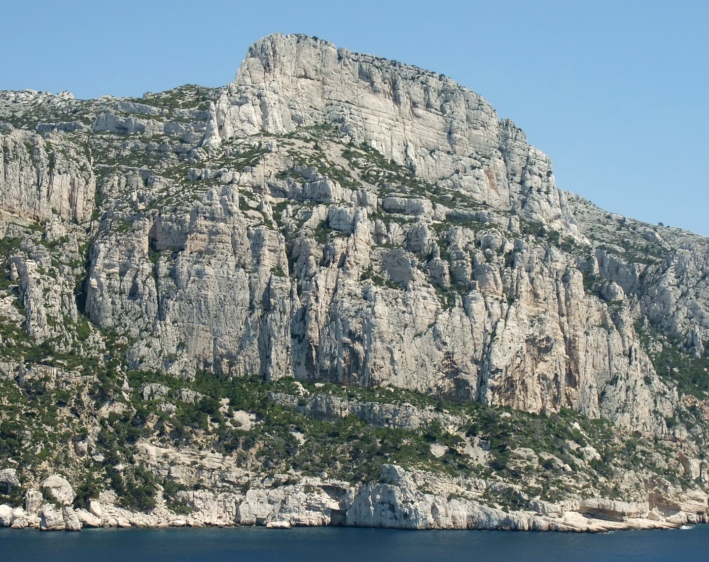
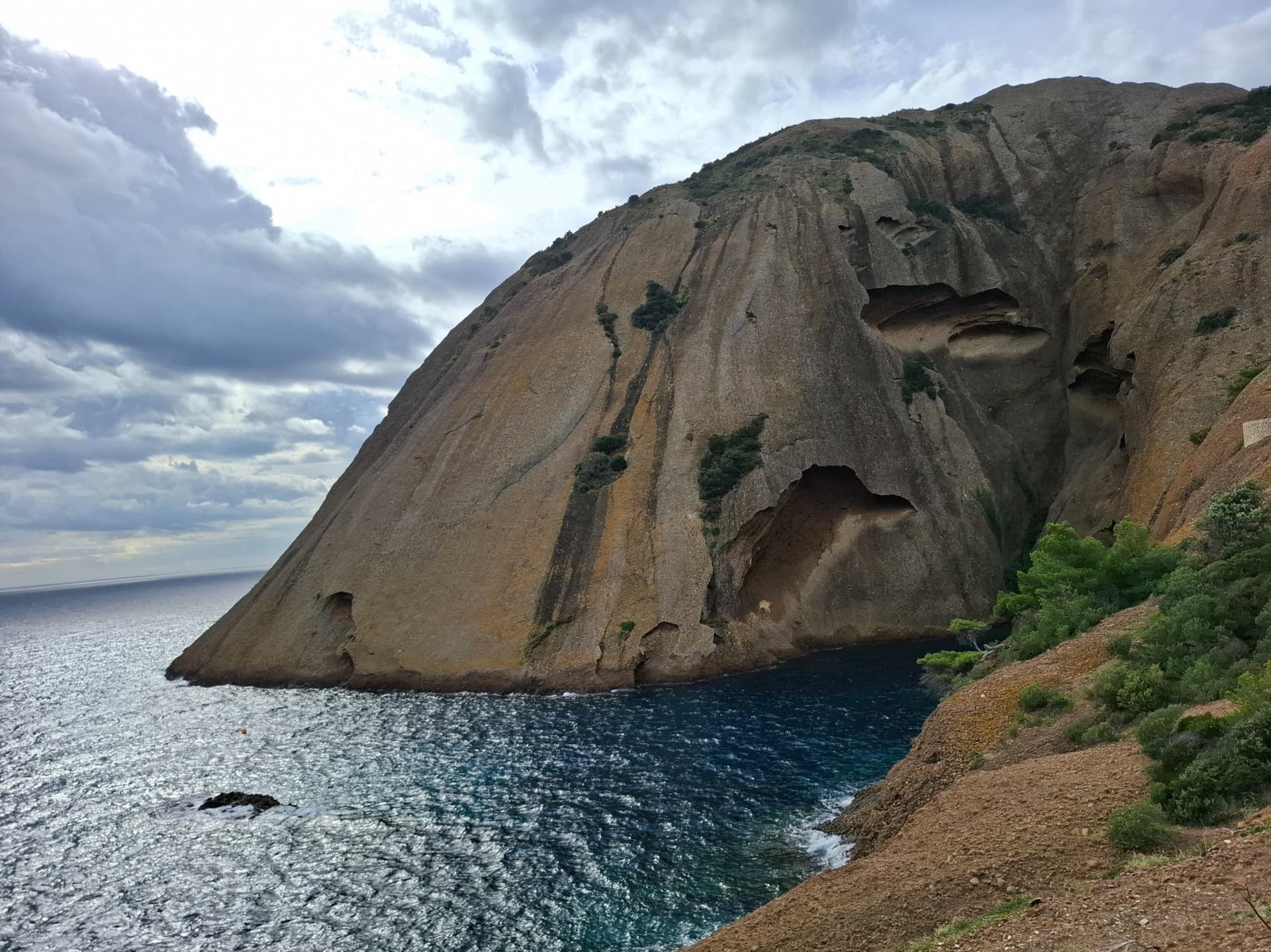
The east face of the Bec de l'Aigle, a single sweep of puddingstone falling into the Anse du Sec at La Ciotat, photographed on the approach to L'Atelier Bleu; the route climbs this face, the line is not marked.

France · Calanques

L'Atelier Bleu

An oddity: easy slabs and a long water-worn runnel up a dome of puddingstone above the sea, reached by abseiling into a cove from the Mugel park. The climbing is grade 3 and 4 on surprisingly solid pebbles. It was fully rebolted in 2024 and is a popular first multipitch.

4c6 pitches220 m
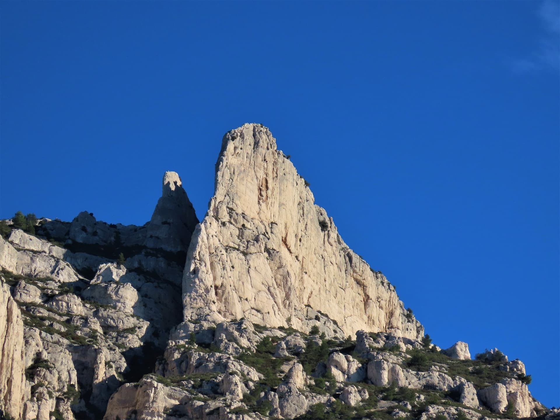
The spire of the Grande Candelle above its plinth of lower cliffs, seen from the Calanque de Sugiton; Armata Calanca climbs the plinth and then the south face to the summit, the line is not marked.

France · Calanques

Armata Calanca

The big modern classic of the Calanques: eleven pitches in three tiers from the foot of the Candelle plinth to the summit, sustained in the sixth grade on grey water-pocketed limestone above the sea. Two walking ledges split the day and offer escapes. The eighth pitch, a 6b+ diagonal along a flake, is the one people remember.

6c11 pitches320 m

One of the conglomerate summits of the Bec de l'Aigle above La Ciotat

France · Calanques

Piste Noire

An easy adventure on the brown pudding-stone of the Bec de l'Aigle at La Ciotat. You abseil into a sea-level gorge, traverse a few metres above the water and climb cobbles past two caves to the crest, finishing with an airy bolted ridge. The climbing is never hard; the unusual rock, the abseil approach and the setting make the day.

5b6 pitches150 m

Committing

The Grande Candelle and, below it, the wall of the Socle seen from the sea

France · Calanques

La Civa

The classic of the Socle de la Candelle, the big plinth of white limestone below the Grande Candelle. Eight pitches slanting right to left, sustained at 5c with a 6a slab, steep and athletic for the grade and well polished by sixty years of traffic. Often combined with a route on the Candelle above for one of the great days out in the Calanques.

6a8 pitches170 m

Read the cautions

Around 6b · about 7 pitches

Similar elsewhere

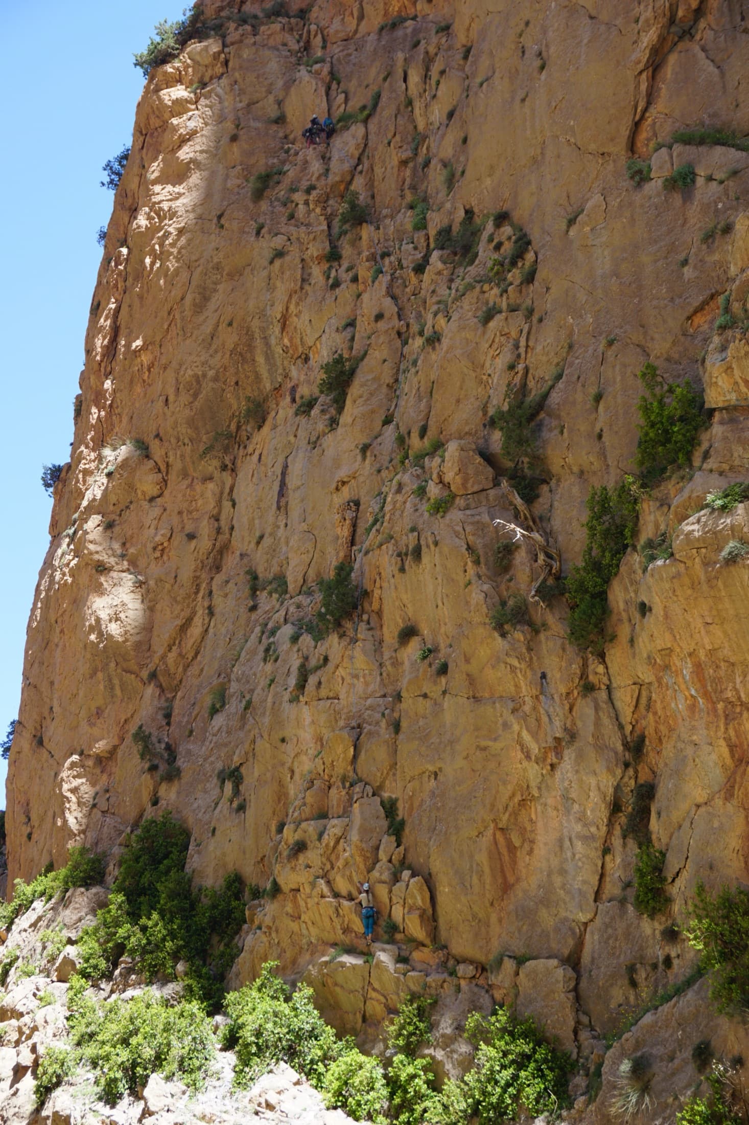
The orange limestone of the Paroi des Sources at Taghia, with climbers on its routes.

Morocco · Taghia

Les babouches de Mostafa

The friendly way into Taghia, starting at the water's edge beside the springs. Seven varied pitches, well bolted by Taghia standards. Go left around the unstable rock below the second belay; fragile blocks are marked in red. In shade until midday.

6b7 pitches270 m

Committing

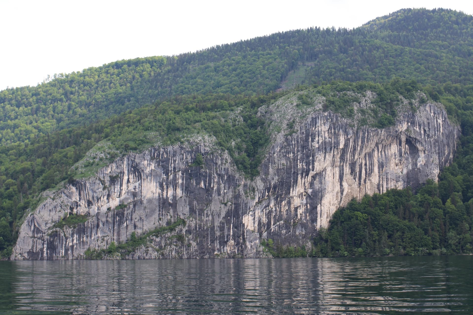
The Falkensteinwand rising from the Wolfgangsee, seen from the lake

Austria · Salzkammergut

Seenot

The best known multipitch route of the Salzkammergut: seven pitches straight out of the Wolfgangsee. You abseil in from the top of the Falkenstein cliff, or arrive by boat, and start from a hanging belay at the waterline. Mostly grade 5 slabs with exposed traverses, then a steep section and a holdless corner equipped with artificial holds.

6b7 pitches185 m

Committing

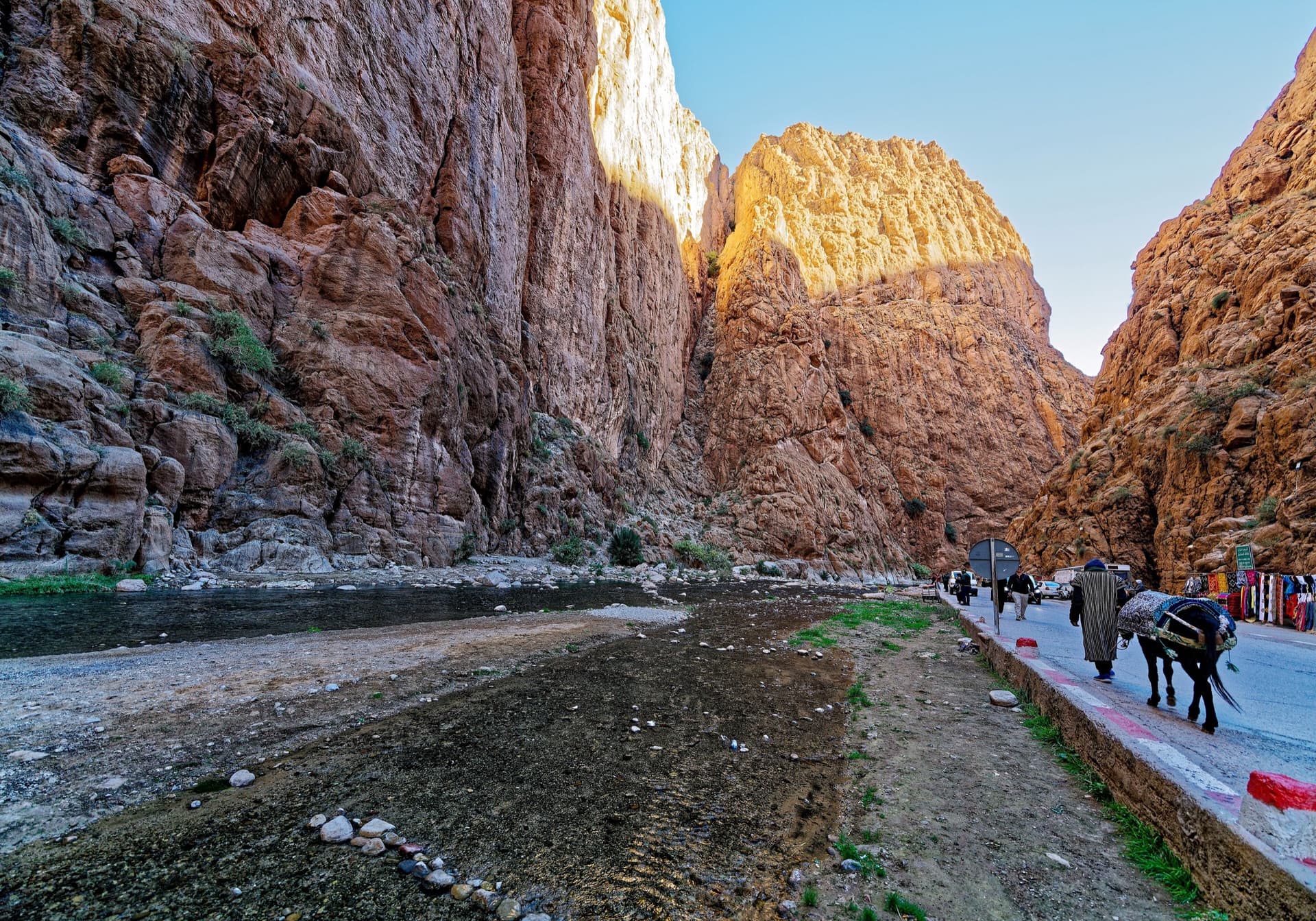
The narrows of the Todra Gorge in late afternoon light, a few minutes' walk upstream of the Mansour wall; a view of the gorge, not of this route's wall.

Morocco · Todra Gorge (Todgha)

Tiwira

A long, moderate line above the Mansour palm grove at the upstream end of the gorge. Mostly steady 5c with a 6a crack to start and a harder, very abrasive finish. Big views up the valley.

6b7 pitches300 m

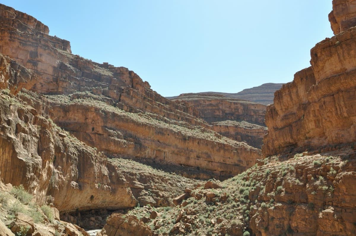
Limestone walls in the Amellago gorges (Colonnette sector)

Morocco · Amellago

8anus

Seven pitches on very abrasive limestone beside the oued, with swimming holes below. An athletic start to the 6b second pitch; a couple of doubtful flakes on pitches 3 and 4.

6b7 pitches140 m

Read the cautions

Compiled from published sources and last verified October 2026. Bolts, anchors and access change. Climbing is dangerous and you are responsible for your own decisions: check a current topo and read the disclaimer.