Multipitch Atlas

Silence bavard

Les Montons – Petit Monton (dome above the dam) · Sanetsch · Switzerland

Bail with caveatsBolting confidence: high

Two tiers ten minutes from the road: a lower plinth of easier, less memorable pitches, then a splendid compact dome where the route climbs 6a, 6b and a 50 m 5c. Nine routes share the upper wall, so you can pick a different finish. Well bolted since 2016.

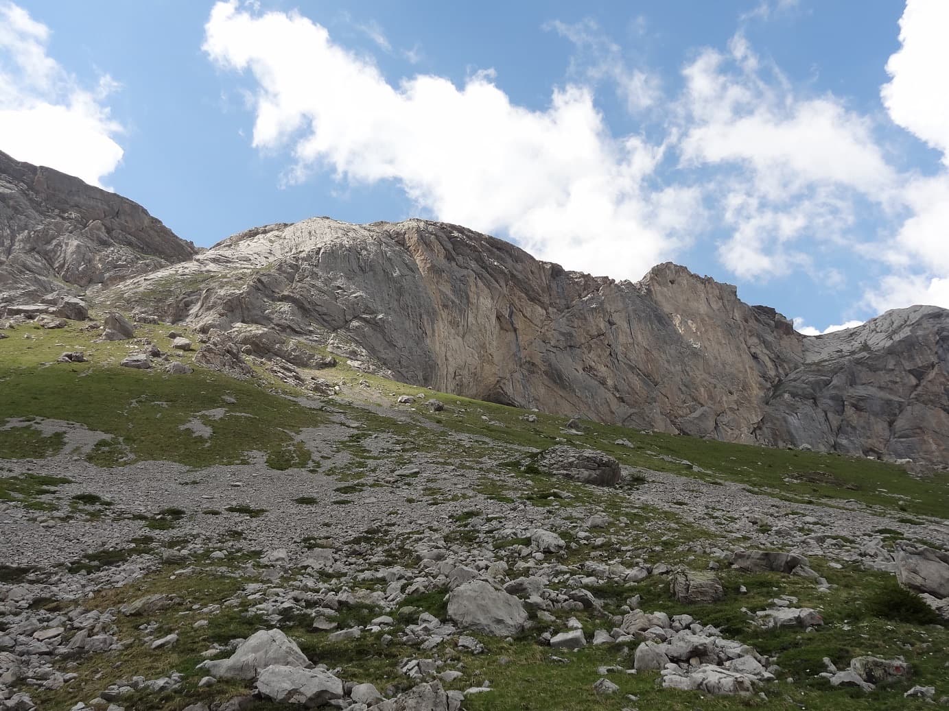
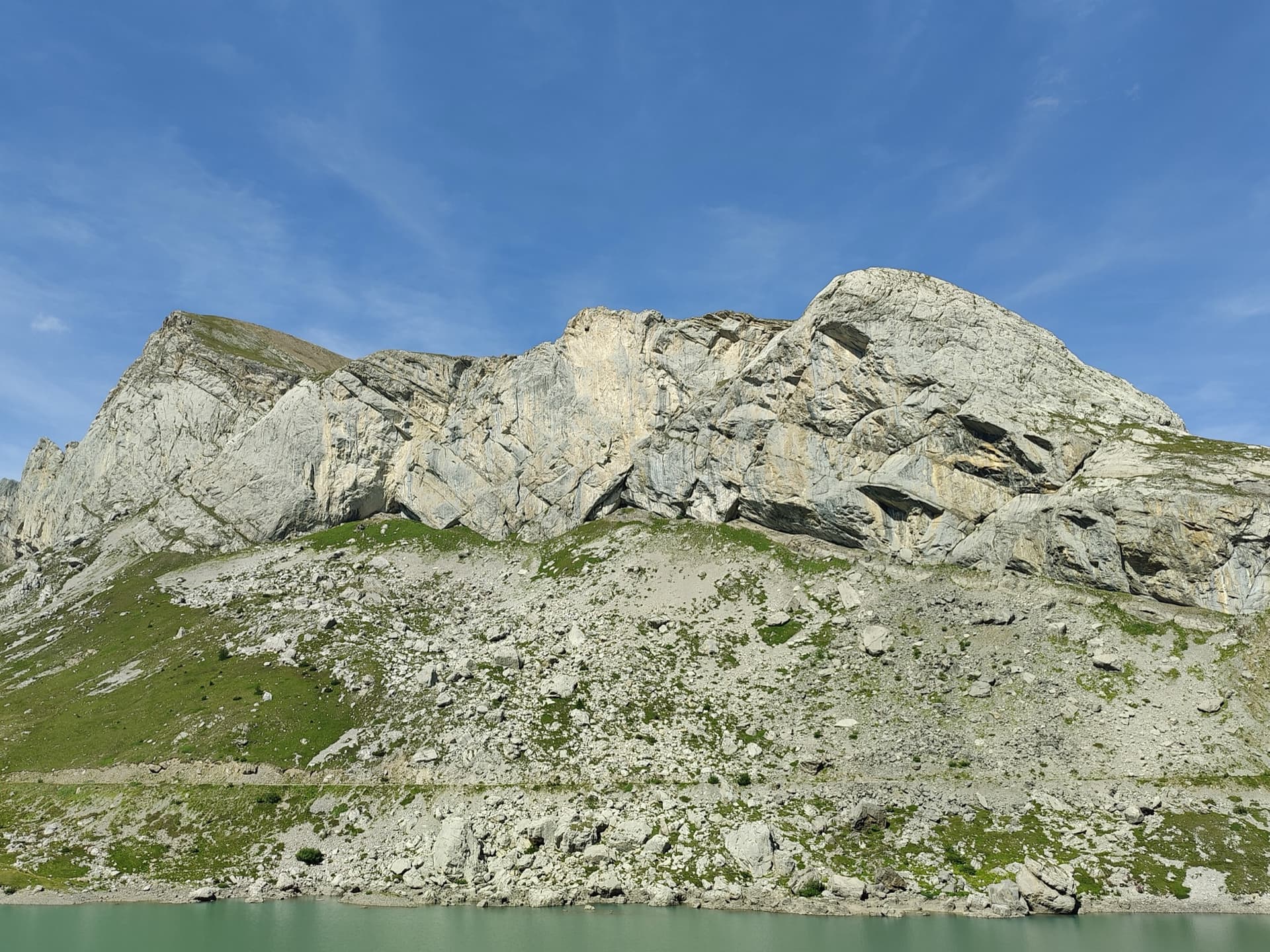
The Petit Monton dome above the Lac de Sénin; Silence bavard climbs the lower tier and then the compact upper wall. The line is not markedPhoto: Guillaume R · CC BY-SA 3.0

Photo

The Petit Monton dome above the Lac de Sénin; Silence bavard climbs the lower tier and then the compact upper wall. The line is not markedPhoto: Guillaume R · CC BY-SA 3.0
Hardest pitch
6b
Pitches
7
Length
250 m
Approach
10 min
Aspect
S
South-facing
Rope
2×50 m to abseil
(the last pitch is 50 m); 1×50 m with the walk-off

The route

Overview

Silence bavard climbs the dome of the Petit Monton, the cliff nearest the Sénin dam, by a lower tier of three pitches, a grassy link and then three pitches up the compact upper wall. It was opened by the Remy brothers in 1990 and re-equipped and altered in 2016. The upper wall, 100 to 150 m high, now carries nine routes from 5c to 6b+, all of which can be reached from the top of pitch 4 or directly by a marked track from the dam. The crux 6b has an obligatory grade of 5c on camptocamp.

The climbing

Pitch by pitch

Pitches of Silence bavard
PitchGradeLengthNotes
P15b35 mRising rightwards. Not obvious, and parties in 2017 and 2024 found it the hardest pitch of the lower tier.
P25a40 mA traverse, then up stepped ground on the right.
P35c35 mThe last pitch of the lower tier.
P44b35 mA short step, then grass to the foot of the upper wall, where nine lines are on offer.
P56a40 mThe first pitch on the compact dome.
P66b40 mThe crux pitch. A flake broke off here in 2017.
P75c50 mA full 50 m pitch to the top.

Getting there

Approach

To the parking

From Sion drive up through Savièse to the Col du Sanetsch (2252 m) and on down towards the Lac de Sénin, about 26 km from Sion; the road is long and narrow and opens in June. A bus runs from Sion in season. From the Bernese side a cable car climbs from Gsteig to the lake. Wild camping near the lake is common, and there is an inn by the dam.

On foot · about 10 min

Look for a red dot on a rock directly above a parking place about 300 m before the dam. A track climbs to the single-pitch sector; from there follow the foot of the wall leftwards to the start, taking care at a small, slippery ravine half-way. The name is painted in red. 10 minutes.

Map of the walk-in

  • Crag

Loading map

The point marks the crag, not the exact start of the route.

Coordinates · crag

46.35343, 7.27946

Point from camptocamp waypoint 43146 (Sanetsch – Les Montons); the Petit Monton dome is the eastern end of the cliff line, nearest the dam, and no source gives a confirmed base point

For your phone or watch

Download GPX

Contains the route point. Opens in most mapping apps and GPS watches.

Points are compiled from published sources, with the precision stated above. They were not surveyed on the ground: check them against a current topo.

Getting down

Descent

By abseil: make the first three abseils down the route, then continue straight down in the same line without crossing the grass of pitch 4; the last two abseils are off the route. A 2023 party made three abseils and then walked down. On foot: from the top follow the red marks along the Montons path back to the dam in 30 minutes; the 2017 party describes a fine walk along the crest followed by a steep gully with a few moves of down-climbing and slippery sections where you must not fall.

Retreat

Bailing off the route

Bail with caveats

The route is equipped to be abseiled from the top, and a 2023 party did so. The top of pitch 4, at the foot of the upper wall, is also reachable on foot by the marked track from the dam, which gives an escape between the two tiers.

Retreat from
By abseil from the upper-wall belays; on foot from the grass at the top of pitch 4 (the access track to the upper wall).
Point of no return
None of note.
Carry
Two 50 m ropes: the upper pitches are 40 to 50 m.
Basis
Part stated, part inferredThe abseil line and the side access to the upper wall are stated on camptocamp; using that access as an escape is inferred.

Partly inferred from the route facts

Safety

Hazards

  • Loose stones on the lower tier: a 2024 party reports many rolling and falling.
  • The walk-off gully is steep, with down-climbing and slippery passages.
  • A slippery ravine on the approach.
  • With nine lines on the upper wall, check which bolts you are following.

Sun and weather

Conditions

South to south-east facing limestone between about 2050 m and 2500 m, in the sun from early morning. The season runs from the opening of the pass road in June to October. Seeps under the roofs stay wet for days after heavy rain, and snow can lie in the boulder field in early June. Pitch 4 crosses grass, which is unpleasant when wet.

Usual season · Jun to Oct

Sun on the wall · S-facing

Working out the sunlit hours for this month.

  • January: not yet worked out
  • February: not yet worked out
  • March: not yet worked out
  • April: not yet worked out
  • May: not yet worked out
  • June (usual season): not yet worked out
  • July (usual season): not yet worked out
  • August (usual season): not yet worked out
  • September (usual season): not yet worked out
  • October (usual season): not yet worked out
  • November: not yet worked out
  • December: not yet worked out

Sun on the wallDaylight, wall in shade● Usual season

Estimated from the wall's aspect only. Ignores surrounding terrain, gullies and the wall's exact shape. Clock times are local to the wall (Central European time), for the 15th of each month.

Monthly climate averages for Sanetsch, 1991-2020
MeasureJanFebMarAprMayJun (usual season)Jul (usual season)Aug (usual season)Sep (usual season)Oct (usual season)NovDec
Mean daily high °C−8−6−3049111184−3−8
Mean daily low °C−17−16−12−9−5−122−2−6−12−16
Rain days 1 mm or more131214141919191715131313

● marks the usual climbing season. Averages for 1991-2020 at about 2482 m. Area climate from Open-Meteo reanalysis. Temperatures are adjusted to the height of the crag; rain comes from a grid cell of about 10 to 25 km, and summer highs on sea cliffs can read a few degrees low. The wall and valley can differ. Data: Open-Meteo, CC BY 4.0.

What to carry

Gear

Quickdraws (number not published; 14 is quoted for other re-equipped routes at Sanetsch), a helmet and two 50 m ropes if you plan to abseil.

Checklist

Quickdraws
Number not given in the sources
Rope
2×50 m to abseil (the last pitch is 50 m); 1×50 m with the walk-off
Helmet
One each
Abseil device and prusik
The descent or the retreat involves abseiling

Derived from the route data; check it against a current topo

From climbers

Reader reports

Reader reports are not being collected yet. Until they are, check a current topo and the local club or guidebook publisher for recent changes to Silence bavard.

Worth knowing

Tips

  • If the lower tier does not appeal, reach the upper wall directly by the red-marked track from the dam and climb two routes there instead.
  • Déclin d'œil (three pitches of 5c), Hors norme (6a+) and Petits plaisirs (6a) on the same dome combine well with it.

Open questions

Where sources disagree

  • Height: 250 m on camptocamp, while the listed pitch lengths add up to 275 m.
  • Camptocamp's overall grade for the route reads D-, which looks too low for a route with a 6b pitch.
  • A photo-topo on camptocamp names the cliff 'Petit Monton, face S.-E.'; the route page files it under Les Montons with a south aspect.

Provenance

Sources

Same area

More in Sanetsch

All routes in Sanetsch
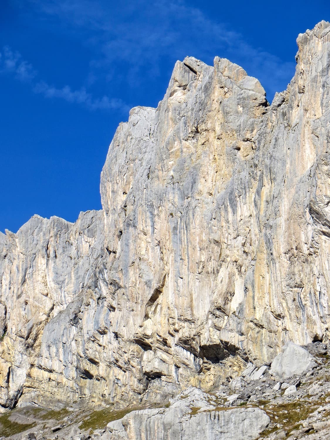
The limestone wall of Les Montons above the Lac de Sénin at the Sanetsch.

Switzerland · Sanetsch

Follomi

The classic introduction to the Sanetsch at 6c: eight varied pitches up a pillar of superb rough limestone, with the hard climbing packed into a few well-bolted metres on each pitch. A steep corner mantel, a balancy wall, a fine slab and an airy exit from a niche. Tops out on grassy slopes with a walk-off.

6c8 pitches250 m
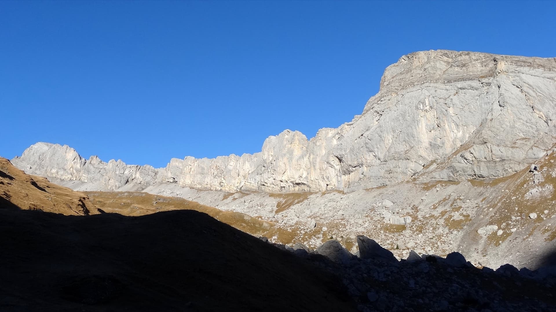
The Montons wall at Sanetsch from the south, from the Pointe Maurice Brandt on the left to the main Montons face; the line is not marked

Switzerland · Sanetsch

Hara qui pleure

A varied, approachable route on the sculpted grey limestone of the Montons: a flake and corner first pitch that wakes you up, runnels and a carved wall in the middle, and a short athletic overhang near the top. Well bolted since 2015 and quick, with a walk-off.

6a+5 pitches180 m

The sector of Les Montons climbed by Pas Perdus and its neighbours, seen from the approach; the line is not marked

Switzerland · Sanetsch

Pas Perdus

A Remy classic from 1985 on very compact, abrasive limestone: a fine straight-up 6a wall, a superb 5c+ pitch and a 6a pitch up a big water groove, followed by two easy pitches of runnels. Every pitch is different. Technical for the grade.

6a6 pitches160 m

Read the cautions

The Pointe Maurice Brandt at the left end of the Montons; Greatime threads its way between the roofs. The line is not marked

Switzerland · Sanetsch

Greatime

An adventurous line that weaves between the roofs of the Pointe Maurice Brandt, at the far left end of the Montons. It improves with height: the lower pitches have some friable rock, the last two are on exceptional grey, sculpted limestone. Lots of traversing and a memorable free-hanging final abseil.

6a+7 pitches180 m

Read the cautions

Around 6b · about 7 pitches

Similar elsewhere

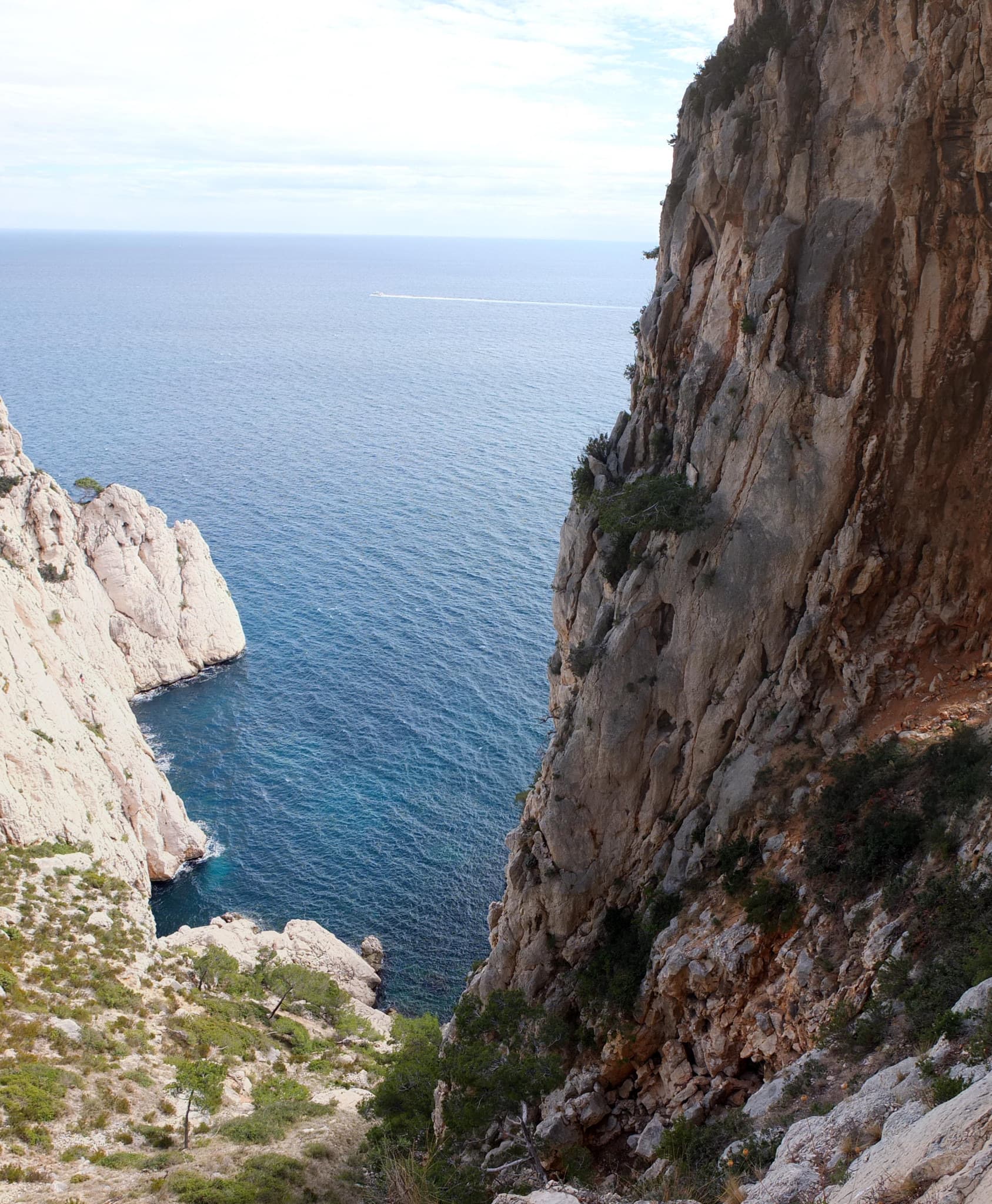
The Calanque de l'Eissadon and its cliffs seen from above

France · Calanques

Avec Toi, C'est Extra

A big, remote wall climb from the sea to the plateau on the east end of the Devenson cliffs, above the Calanque de l'Eissadon. After two easier pitches it is continuous at 6a+ to 6b up white walls and a striking vein of aragonite, technical on the feet and vertical. Four abseils and a two-hour walk each way make it a full day at the end of the world.

6b7 pitches215 m

Read the cautionsCommitting

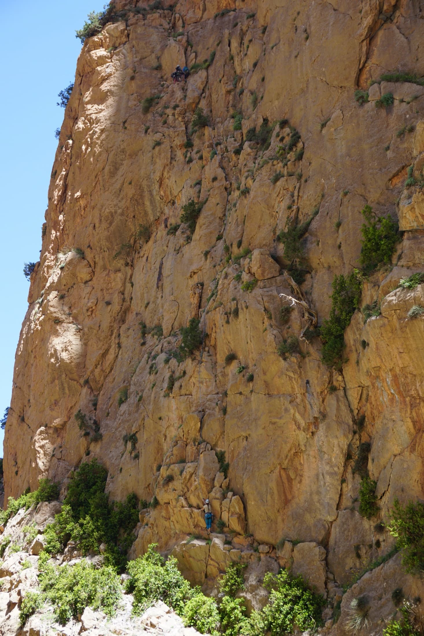
The orange limestone of the Paroi des Sources at Taghia, with climbers on its routes.

Morocco · Taghia

Les babouches de Mostafa

The friendly way into Taghia, starting at the water's edge beside the springs. Seven varied pitches, well bolted by Taghia standards. Go left around the unstable rock below the second belay; fragile blocks are marked in red. In shade until midday.

6b7 pitches270 m

Committing

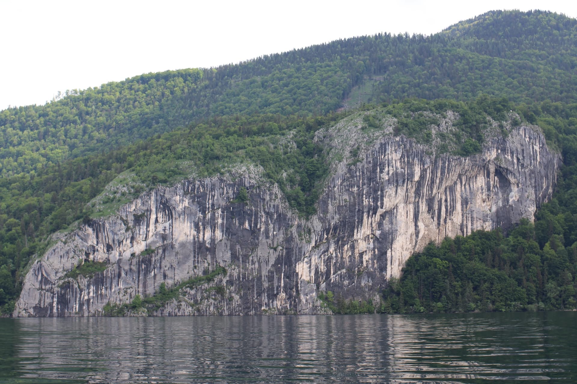
The Falkensteinwand rising from the Wolfgangsee, seen from the lake

Austria · Salzkammergut

Seenot

The best known multipitch route of the Salzkammergut: seven pitches straight out of the Wolfgangsee. You abseil in from the top of the Falkenstein cliff, or arrive by boat, and start from a hanging belay at the waterline. Mostly grade 5 slabs with exposed traverses, then a steep section and a holdless corner equipped with artificial holds.

6b7 pitches185 m

Committing

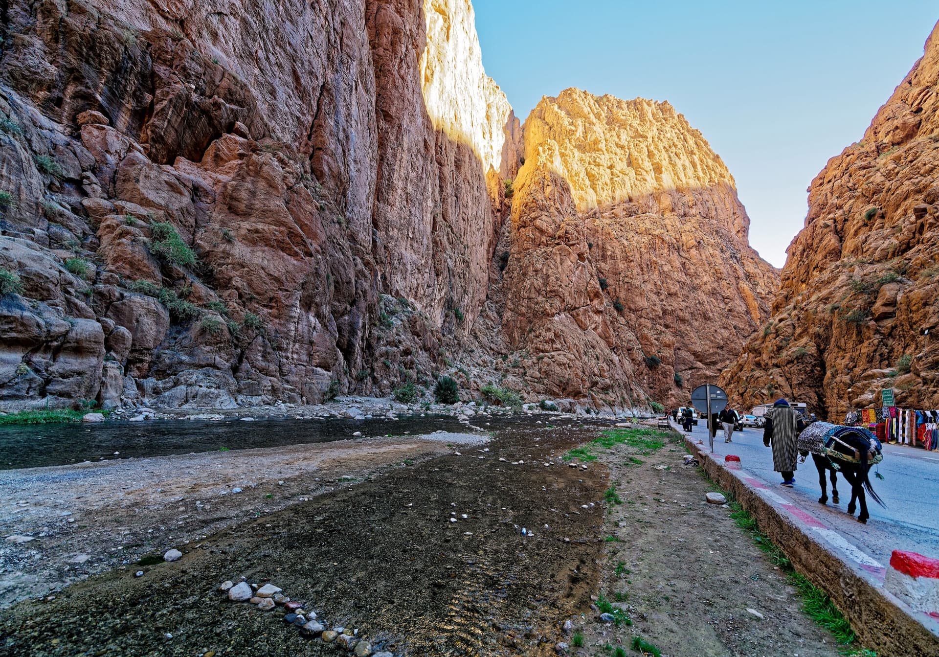
The narrows of the Todra Gorge in late afternoon light, a few minutes' walk upstream of the Mansour wall; a view of the gorge, not of this route's wall.

Morocco · Todra Gorge (Todgha)

Tiwira

A long, moderate line above the Mansour palm grove at the upstream end of the gorge. Mostly steady 5c with a 6a crack to start and a harder, very abrasive finish. Big views up the valley.

6b7 pitches300 m

Compiled from published sources and last verified October 2026. Bolts, anchors and access change. Climbing is dangerous and you are responsible for your own decisions: check a current topo and read the disclaimer.