Multipitch Atlas

Hara qui pleure

Les Montons · Sanetsch · Switzerland

Bail not documentedBolting confidence: high

A varied, approachable route on the sculpted grey limestone of the Montons: a flake and corner first pitch that wakes you up, runnels and a carved wall in the middle, and a short athletic overhang near the top. Well bolted since 2015 and quick, with a walk-off.

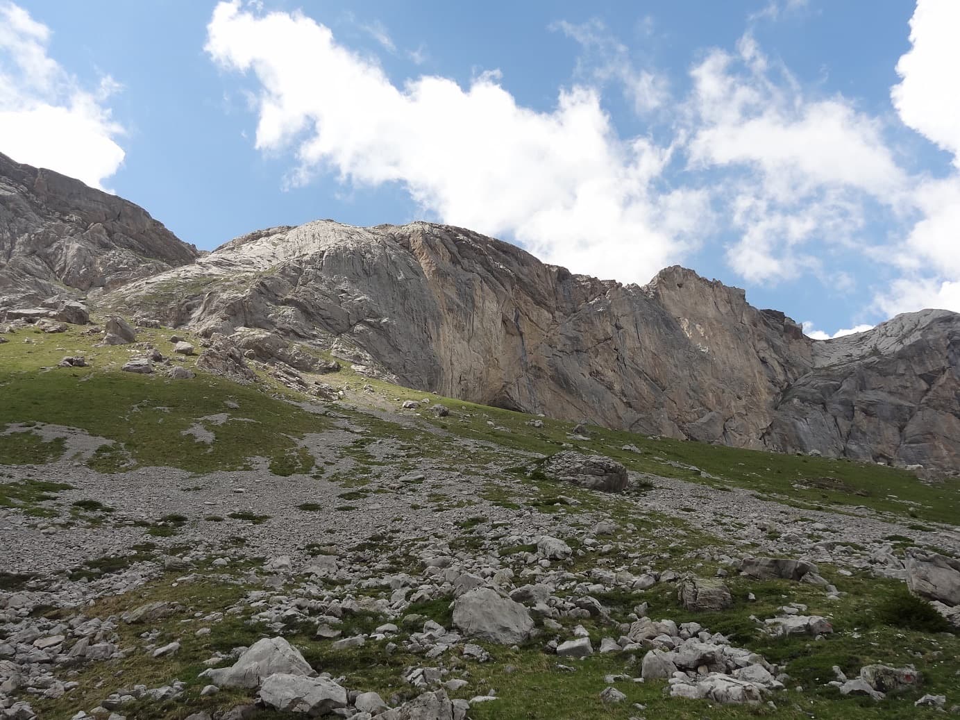
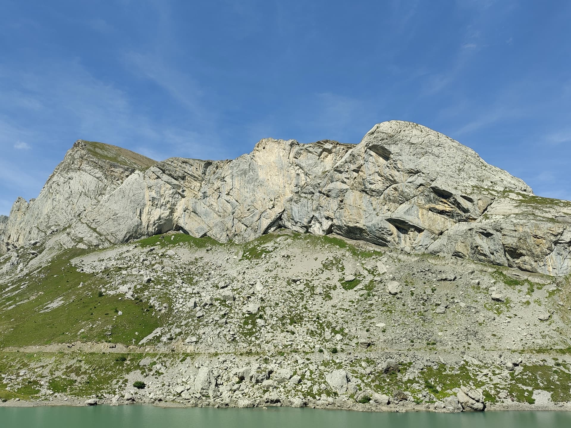
The Montons wall at Sanetsch from the south, from the Pointe Maurice Brandt on the left to the main Montons face; the line is not markedPhoto: Nouille74 · CC BY-NC-ND 3.0

Photo

The Montons wall at Sanetsch from the south, from the Pointe Maurice Brandt on the left to the main Montons face; the line is not markedPhoto: Nouille74 · CC BY-NC-ND 3.0
Hardest pitch
6a+
Pitches
5
Length
180 m
Approach
30 min
Aspect
SE
South-east-facing
Rope
1×50 m
walk-off; the longest stated pitch is 40 m

The route

Overview

Hara qui pleure is a Remy brothers route from 1986 that was re-equipped and re-routed in 2015 to make it more amenable: the old 6c first pitch was replaced by a 6a+ starting further right, and the fourth pitch now takes an easier overhang on the right. The result is five pitches between 5b+ and 6a+ on excellent rock, popular as a first route at Sanetsch. Parties take two to two and a half hours. Gulliver.it, quoted by PeakVisor, describes a link-up with the neighbouring Pôle et Mique at the same overall grade of 6a+ (5c obligatory), 180 m.

The climbing

Pitch by pitch

Pitches of Hara qui pleure
PitchGradeLengthNotes
P16a+40 mStart on the right, shared with Vain Cœur: a thin traverse, a harder move to get established in the flake, then the flake and corner, part layback and part bridging, to the top. Not easy when cold.
P25c–A small corner with an awkward move, then easier, attractive runnels up a sculpted wall.
P35b+–A slightly easier wall, with a small bulge and a mantel finish before the belay, which is a little hidden.
P46a+20 mA short pitch that goes right through an athletic overhang at the start, more impressive than hard. Belay on a grassy ledge.
P56a–Turn a bulge on the right by a clean crack and exit onto the grassy summit slopes. A 2022 party found this pitch scrappy and hard to read. Pitches 4 and 5 can be linked.

Getting there

Approach

To the parking

From Sion drive up through Savièse to the Col du Sanetsch (2252 m) and on down towards the Lac de Sénin, about 26 km from Sion; the road is long and narrow and opens in June. A bus runs from Sion in season. From the Bernese side a cable car climbs from Gsteig to the lake. Wild camping near the lake is common, and there is an inn by the dam.

On foot · about 30 min

From the parking follow the path that winds up through the boulder field to the foot of the Montons. At the largest boulder head right and pass below Follomi, whose name is painted in red. Go past the niche, an obvious landmark, and the corner beyond, then climb along the wall, passing a single bolt that marks the start of La vita è bella, to some steep steps. Gear up here and follow the red dots up easy rock. The route name is written at the start. 30 minutes.

Map of the walk-in

  • Crag

Loading map

The point marks the crag, not the exact start of the route.

Coordinates · crag

46.35343, 7.27946

Point from camptocamp waypoint 43146 (Sanetsch – Les Montons)

For your phone or watch

Download GPX

Contains the route point. Opens in most mapping apps and GPS watches.

Points are compiled from published sources, with the precision stated above. They were not surveyed on the ground: check them against a current topo.

Getting down

Descent

Walk off. From the top take the path that descends to the right, then follow the red dots into the descent gully and ledges, which are awkward and dangerous when wet. The path then runs along the foot of the wall back to the start. Fast and efficient but exposed.

Retreat

Bailing off the route

Bail not documented

The normal way off is the walk-off from the top and no source describes abseiling the route. On the neighbouring Follomi the belays are not equipped for abseiling. With only five pitches, finishing is usually quicker than retreating.

Retreat from
Not documented.
Point of no return
Not documented.
Carry
Maillons and cord in case you must abseil from two-bolt belays; pitch 1 is 40 m, so a single 50 m rope will not reach the ground from the first belay.
Basis
Inferred from the route factsCamptocamp describes only the walk-off; the rope remark follows from the stated 40 m first pitch.

Partly inferred from the route facts

Safety

Hazards

  • The descent gully is steep and exposed, and dangerous when wet.
  • The approach finishes up steep steps of easy rock below the start; rope up or take care.
  • The sector is popular, with several parties a day in high summer, and other routes cross or share starts (Vain Cœur, L'élite des ménages).

Sun and weather

Conditions

South to south-east facing limestone between about 2050 m and 2500 m, in the sun from early morning. The season runs from the opening of the pass road in June to October. Seeps under the roofs stay wet for days after heavy rain, and snow can lie in the boulder field in early June.

Usual season · Jun to Oct

Sun on the wall · SE-facing

Working out the sunlit hours for this month.

  • January: not yet worked out
  • February: not yet worked out
  • March: not yet worked out
  • April: not yet worked out
  • May: not yet worked out
  • June (usual season): not yet worked out
  • July (usual season): not yet worked out
  • August (usual season): not yet worked out
  • September (usual season): not yet worked out
  • October (usual season): not yet worked out
  • November: not yet worked out
  • December: not yet worked out

Sun on the wallDaylight, wall in shade● Usual season

Estimated from the wall's aspect only. Ignores surrounding terrain, gullies and the wall's exact shape. Clock times are local to the wall (Central European time), for the 15th of each month.

Monthly climate averages for Sanetsch, 1991-2020
MeasureJanFebMarAprMayJun (usual season)Jul (usual season)Aug (usual season)Sep (usual season)Oct (usual season)NovDec
Mean daily high °C−8−6−3049111184−3−8
Mean daily low °C−17−16−12−9−5−122−2−6−12−16
Rain days 1 mm or more131214141919191715131313

● marks the usual climbing season. Averages for 1991-2020 at about 2482 m. Area climate from Open-Meteo reanalysis. Temperatures are adjusted to the height of the crag; rain comes from a grid cell of about 10 to 25 km, and summer highs on sea cliffs can read a few degrees low. The wall and valley can differ. Data: Open-Meteo, CC BY 4.0.

What to carry

Gear

14 quickdraws and a helmet. Cams are not needed since the 2015 re-equipping. A single rope is enough for the walk-off.

Checklist

Quickdraws
14
Rope
1×50 m (walk-off; the longest stated pitch is 40 m)
Helmet
One each
Maillons or spare karabiners
To leave behind if you retreat
Cord
Mentioned for retreat

Derived from the route data; check it against a current topo

From climbers

Reader reports

Reader reports are not being collected yet. Until they are, check a current topo and the local club or guidebook publisher for recent changes to Hara qui pleure.

Worth knowing

Tips

  • A good afternoon route after the drive up, or a second route after Pas Perdus: an August 2020 party found it a little easier than Pas Perdus.
  • A corrected topo is published by the GHM Lausanne and linked from the camptocamp page.

Open questions

Where sources disagree

  • Older guidebooks show the pre-2015 line, with a 6c first pitch starting up L'élite des ménages and a direct fourth pitch.
  • Pitch lengths are published only for pitches 1 and 4; 180 m is camptocamp's height of the difficulties, which PeakVisor/gulliver also give for the link-up.

Provenance

Sources

Same area

More in Sanetsch

All routes in Sanetsch
The limestone wall of Les Montons above the Lac de Sénin at the Sanetsch.

Switzerland · Sanetsch

Follomi

The classic introduction to the Sanetsch at 6c: eight varied pitches up a pillar of superb rough limestone, with the hard climbing packed into a few well-bolted metres on each pitch. A steep corner mantel, a balancy wall, a fine slab and an airy exit from a niche. Tops out on grassy slopes with a walk-off.

6c8 pitches250 m
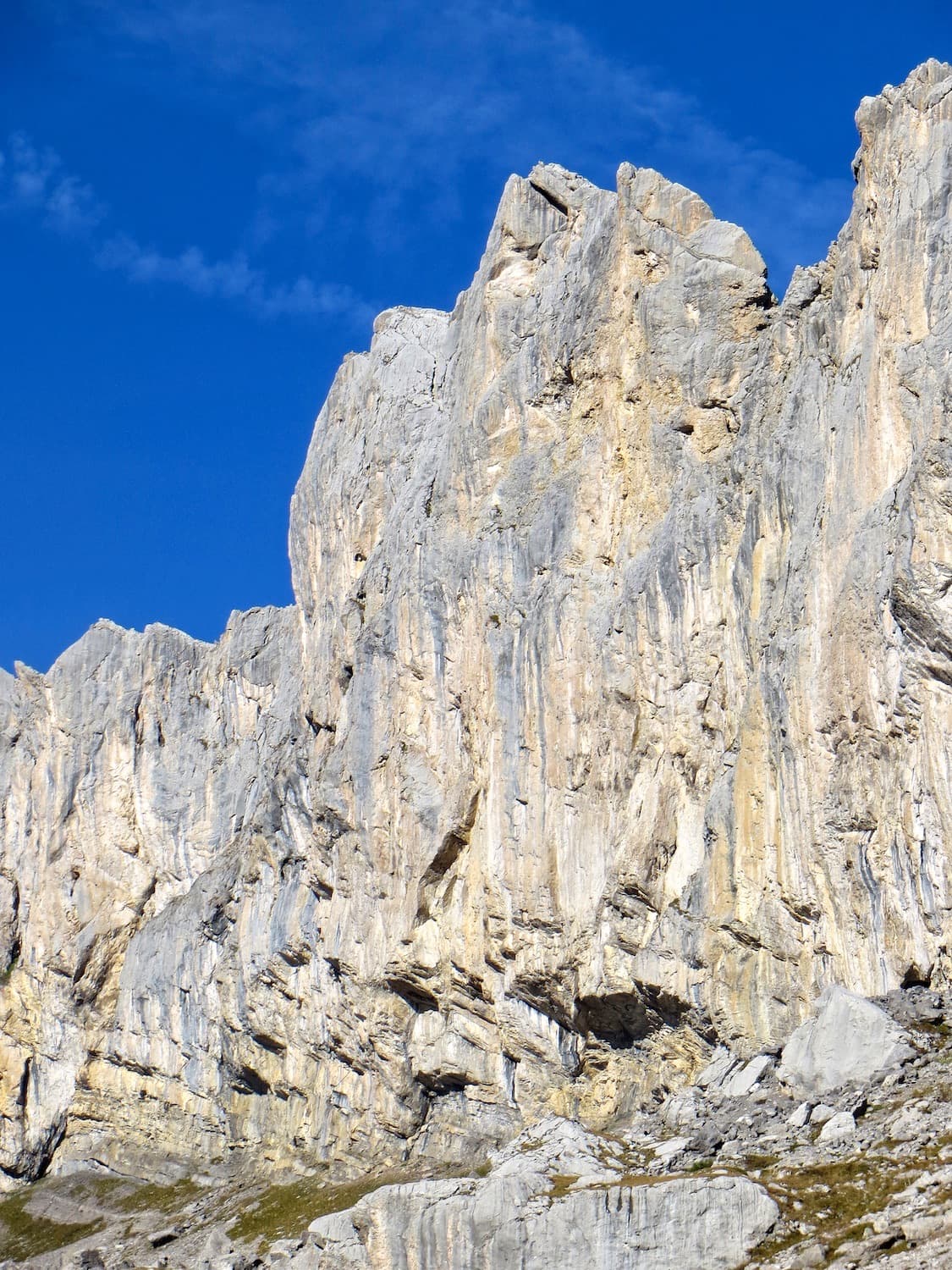
The Petit Monton dome above the Lac de Sénin; Silence bavard climbs the lower tier and then the compact upper wall. The line is not marked

Switzerland · Sanetsch

Silence bavard

Two tiers ten minutes from the road: a lower plinth of easier, less memorable pitches, then a splendid compact dome where the route climbs 6a, 6b and a 50 m 5c. Nine routes share the upper wall, so you can pick a different finish. Well bolted since 2016.

6b7 pitches250 m

The sector of Les Montons climbed by Pas Perdus and its neighbours, seen from the approach; the line is not marked

Switzerland · Sanetsch

Pas Perdus

A Remy classic from 1985 on very compact, abrasive limestone: a fine straight-up 6a wall, a superb 5c+ pitch and a 6a pitch up a big water groove, followed by two easy pitches of runnels. Every pitch is different. Technical for the grade.

6a6 pitches160 m

Read the cautions

The Pointe Maurice Brandt at the left end of the Montons; Greatime threads its way between the roofs. The line is not marked

Switzerland · Sanetsch

Greatime

An adventurous line that weaves between the roofs of the Pointe Maurice Brandt, at the far left end of the Montons. It improves with height: the lower pitches have some friable rock, the last two are on exceptional grey, sculpted limestone. Lots of traversing and a memorable free-hanging final abseil.

6a+7 pitches180 m

Read the cautions

Around 6a+ · about 5 pitches

Similar elsewhere

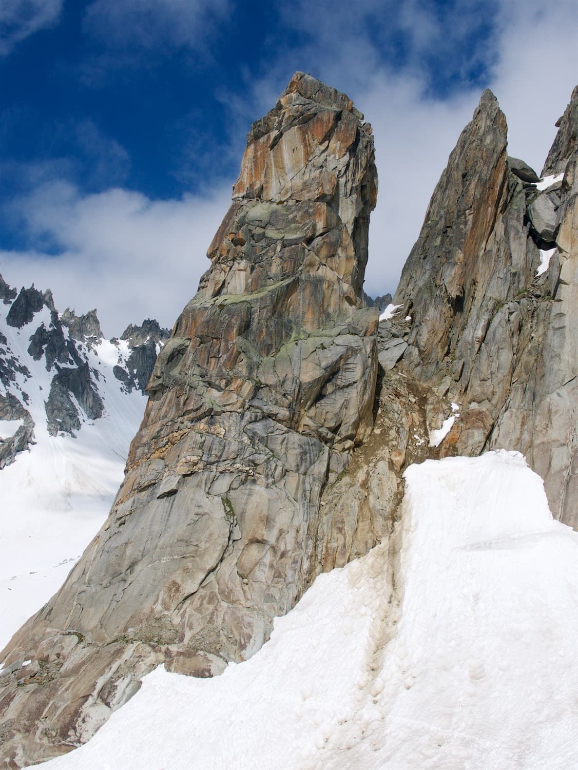
The Hannibalturm in early season, with snow still lying at its foot

Switzerland · Furka

Hanimoon

Five sustained pitches on the left side of the Hannibalturm, never easier than 5c+ and never much harder than 6a+. A smooth friction slab leads to steep wall climbing, a pillar, a flake and a corner, and the route finishes up a ladder of huge quartz knobs. Many parties rate it the best line on the tower and find the second pitch the hardest.

6a+5 pitches170 m

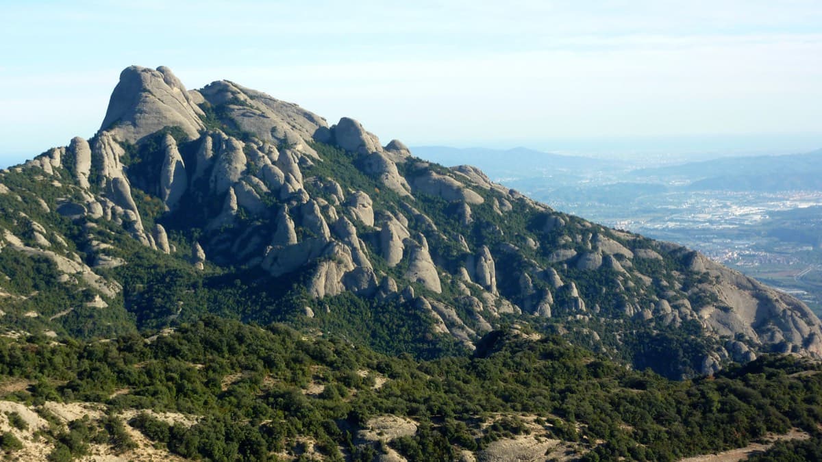
West side of the Gorros sector, Montserrat

Spain · Montserrat

Integral d'en Pitu i la Nuri

A modern linkup over two pinnacles on excellent conglomerate. Overhanging 6a and 6a+ walls alternate with easy 'potato-field' slabs. The new bolting makes it one of the most reassuring long lines in the massif.

6a+5 pitches185 m

The Verdon gorge from the Belvédère de la Carelle, where the abseils to the route start

France · Verdon

Afin que nul ne meure

A 1985 classic of the Escalès, a grade harder and noticeably bolder than Les Dalles Grises next door. Five pitches on pockets and slabs, starting with polished rising traverses and finishing up a sculpted wall of vertical flutings, an overhanging crack and a bulge at 6a+. You need to be solid at 6a to enjoy it.

6a+5 pitches150 m

Read the cautionsCommitting

The Geiselstein and Gabelschrofen in the Ammergebirge nature reserve

Germany · Ammergauer Alpen

Balisto

The popular sport line of the Geiselstein south face, straight up to the summit cross. Long, steep pitches on excellent rough limestone, sustained at UIAA 6- to 6 with two short passages of 6+ and one easier pitch on less reliable rock. Never easy and never crowded with bolts: you climb between them.

6a+5 pitches210 m

Read the cautions

Compiled from published sources and last verified October 2026. Bolts, anchors and access change. Climbing is dangerous and you are responsible for your own decisions: check a current topo and read the disclaimer.