Multipitch Atlas

Spelling need not be exact.

Südwand Schmankerl

Buchstein south face · Tegernsee Alps (Buchstein) · Germany

Bail with caveats

The popular moderate classic of the Buchstein south face: a crack and corner line up the centre of the wall, almost to the summit. Short pitches of grippy limestone with one harder move on the third pitch, all on close bolts, then an easy finish to the top.

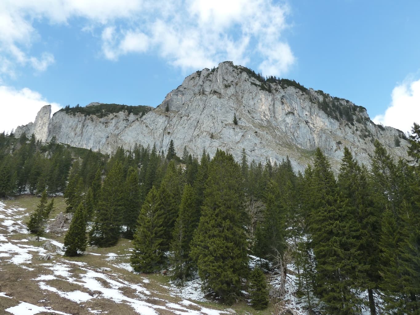
Buchstein south face from the approach, with the Schmankerl line in red and the walk-off towards the Tegernseer Hütte dottedPhoto: Nicolas Chevillot · CC BY-SA 3.0

Photo

Hardest pitch
5c+
Pitches
5
Length
180 m
Approach
90 min
Aspect
S
South-facing
Rope
1×60 m
Rock
limestone
Season
Apr to May, Sep to Nov
Bolting confidence
Medium
Last verified
October 2026 · Compiled from published sources

Overview

Südwand Schmankerl takes the obvious crack and corner system in the central part of the Buchstein south face and finishes just below the summit. It is almost identical to the South Corner climbed in 1935, which was cleaned and bolted in 2005, and is now one of the most popular routes in the Tegernsee mountains because it is one of the few long, moderate lines on the wall. The climbing is mostly UIAA 5 to 5+ with a single short crux of UIAA 6- (5c+) on the third pitch. Bolts are close, and every source says you need only quickdraws. Expect queues on fine weekends.

Worth knowing

  • Allow about 2 hours on the route and 4 to 5 hours car to car.
  • Combine the climb with a stop at the Tegernseer Hütte on the descent.
  • Neighbouring Sahnestückchen, just to the right, is the step up in grade (UIAA 7-).

Pitch by pitch

No topo we can show; see the sources.

Pitches of Südwand Schmankerl
PitchGradeNotes
P15aStart from the grass at the foot of the crack, above the name plate. UIAA 5.
P25bA fine layback crack. UIAA 5+.
P35c+Chimney-like climbing with the crux near the top of the crack, very well bolted. When the bolts stop in line, move left towards the big tree; the belay is near it. UIAA 6-.
P45aStraight up on big holds. The only part that departs from the 1935 line. UIAA 5. A harder exit variant on the left goes at UIAA 7-.
P52Easy ground up the exit gully to the top, close to the summit. UIAA 2; earthy and slippery when wet.

Approach

To the parking

Drive to Kreuth in the Tegernsee valley and continue south towards the Achen pass to just before Bayerwald, where the large paid hikers' car park 'Ross- und Buchstein' is on the left (5 EUR reported in 2021; bring coins). From the A12 Inn valley motorway leave at Wiesing and go over the Achen pass. Buses run from Wildbad Kreuth and from Wiesing. Alternatively ride a mountain bike from the Schwarztennalm car park or from Fleck near Lenggries.

On foot · about 90 min

About 1.5 hours on foot from the Bayerwald car park, past the Sonnbergalm to a prominent boulder, then a short way up the cabled path towards the Tegernseer Hütte. At a hairpin turn right on a path to a small hut and follow it to the foot of the cliffs. In the high right-hand part of the wall a grass ledge leads up to the start, which is marked with a metal name plate. The route shares its first bolt with 'Mann oder Memme' (marked 'MoM') and then branches right into the crack and corner. With a bike from the Schwarztennalm you can ride to or just short of the Sonnbergalm.

Map of the walk-in

Coordinates · crag

47.63333, 11.68000

Parking

47.61550, 11.67670

Paid hikers' car park 'Ross- und Buchstein' near Bayerwald (bergsteigen.com marker)

Point from camptocamp summit waypoint 271574 (Buchstein); bergsteigen.com start marker 47.6325, 11.6793 is about 100 m away

For your phone or watch

Download GPX

Contains the route point and parking.

Points from published sources, not surveyed.

Descent

From the top of the route go to the summit area and descend west on the normal route to the Tegernseer Hütte (climbing passages up to grade 2, exposed just before the hut). From the hut take the short cabled path back down to the foot of the wall and reverse the approach. About 1 h 15 min. Abseiling the route is possible but bergsteigen.com calls it sensible only in an emergency, and with snow lingering on the upper path the descent is awkward (April 2013 report).

Bailing off the route

Bail with caveats

bergsteigen.com says you can abseil the route, but only as an emergency option; the normal way down is the walk-off. The pitches are short, so a single 60 m rope should reach between belays, but no source confirms how the belays are rigged.

Retreat from
Any belay, by abseiling the line (stated possible). Belay details are not documented; the pitch 3 belay is near a big tree.
Point of no return
None documented. Above pitch 4 only easy ground remains, so topping out and walking off is normally quicker.
Carry
A 60 m rope, slings and a maillon in case a belay is not rigged for abseil.
Basis
Part stated, part inferredbergsteigen.com states abseiling is possible; the rope advice is inferred from the short pitches.

In an emergency · Germany

112Emergency; sends the Bergwacht

Position of the crag

47.63333, 11.68000

Marks the crag, not the route: give route and pitch.

Say what happened, how many are hurt, and where you are. Checked October 2026 (source).

Hazards

  • Rockfall in the upper part of the face, including from parties above.
  • The exit gully is earthy and grassy and stays muddy after rain or snow melt (reported wet in April 2011).
  • The walk-off has grade 2 scrambling and an exposed passage just before the Tegernseer Hütte.
  • Very popular: on fine days start early or expect to queue.

Gear

12 quickdraws, a single 60 m rope (or double ropes), a sling and a helmet. No nuts or cams.

Checklist

Quickdraws
12
Rope
1×60 m
Helmet
One each
Abseil device and prusik
For abseiling
Slings
Mentioned for retreat
Maillons or spare karabiners
To leave behind if you retreat

Conditions

Plan B nearby

Straight-line distances, up to 30 km.

Reader reports

No reports yet.

Report a problem with this route

Say what and where. Reports are checked before they appear; no name or email is stored.

Bolts and history

Bolting
Bolted throughout, described as very well protected; you need only quickdraws (bergsteigen.com, 2005; Bergsteiger magazine, 2025: many solid bolts). The line follows the 1935 South Corner, cleaned and bolted in 2005 by U. Kalkbrenner, T. Hesslinger and G. Riedel; old pegs remain. No source describes the belays in detail, but bergsteigen.com says the route can be abseiled.
History
First climbed as the South Corner (Südverschneidung) in 1935 by E. Breitinger and Schiegg. Cleaned, slightly straightened on pitch 4 and bolted in 2005 by Uwe Kalkbrenner, Tom Hesslinger and Gabi Riedel.
Guidebook
Martin Lochner, 'Kletterführer Bayerische Voralpen' (Lochner-Verlag).

Where sources disagree

  • Length: bergsteigen.com gives 180 m of climbing; Bergsteiger magazine (2025) gives a wall height of about 130 m in five short pitches.
  • Aspect: camptocamp gives south-east, bergsteigen.com and Munichclimbs south.
  • Grade: camptocamp rates the crux 5c+; the German sources give UIAA 6-, which the usual conversion puts at about 5c.
  • Rope: bergsteigen.com suggests 60 m single or double ropes; Bergsteiger magazine says a 45 m rope is enough.

Sources

More in Tegernsee Alps (Buchstein)

All routes in Tegernsee Alps (Buchstein)
The Buchstein south face from the approach in spring

Germany · Tegernsee Alps (Buchstein)

Sahnestückchen

Steep slab climbing from pocket to pocket on the right-hand side of the Buchstein south face, just right of Schmankerl. One short UIAA 7- crux at the start of the second pitch, well bolted, then the climbing eases to UIAA 6 and 5 towards the top, finishing just below the summit.

6b5 pitches140 m

Read the cautions

Around 5c+ · about 5 pitches

Similar elsewhere

The Dente di a Purcaraccia above the Purcaraccia valley, with the start and summit of the south arête marked

France · Bavella

Iznogoud (Arête S)

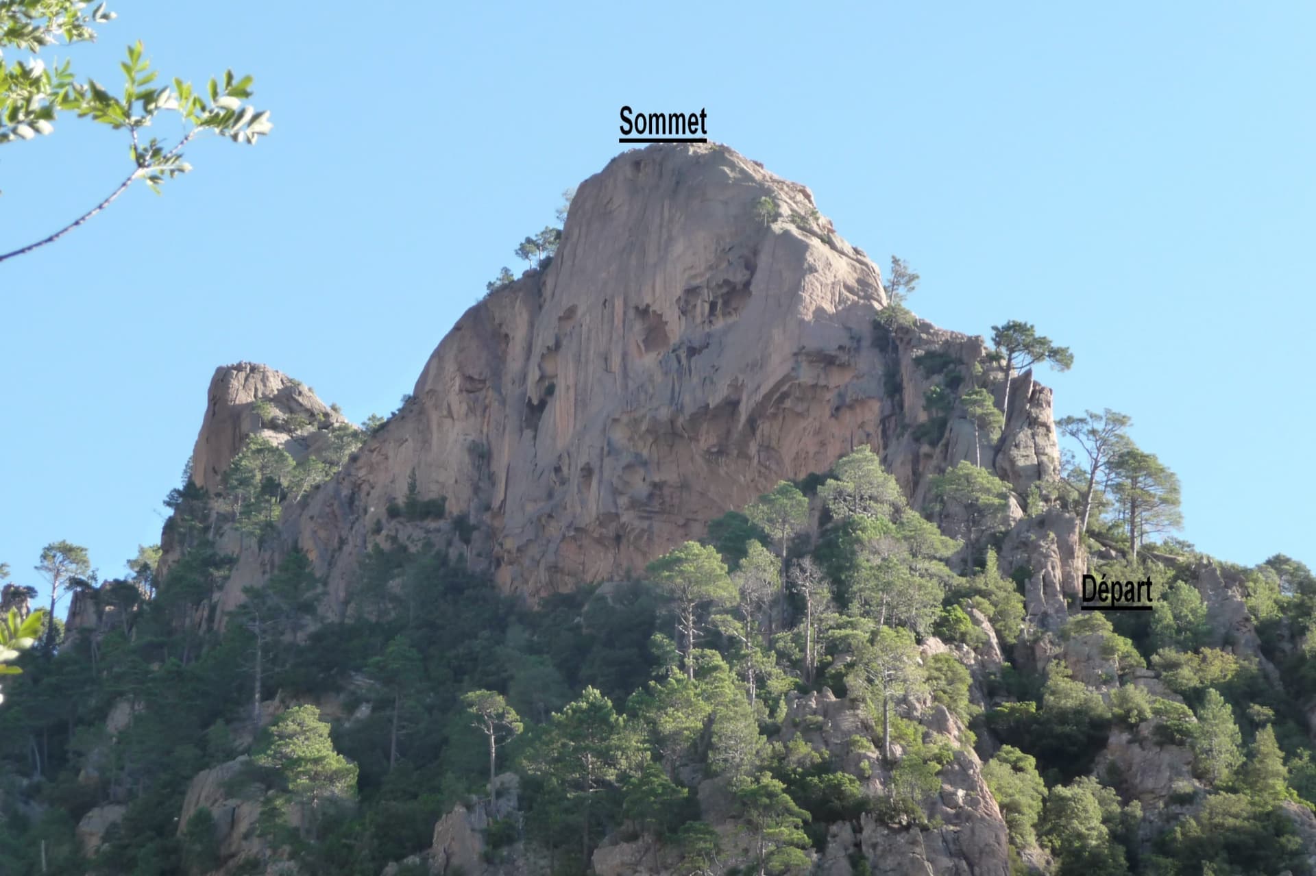
An easy friction-slab route up the south arête of a small granite tooth above the Purcaraccia cascades: a slab and corner, a walk, then two pitches of clean, airy slab climbed mostly on your feet, and a scramble to a summit with a huge view. Parties find the grades generous. The approach is a long, beautiful walk past the pools, with a rougher finish through maquis.

5c+5 pitches130 m

Read the cautions

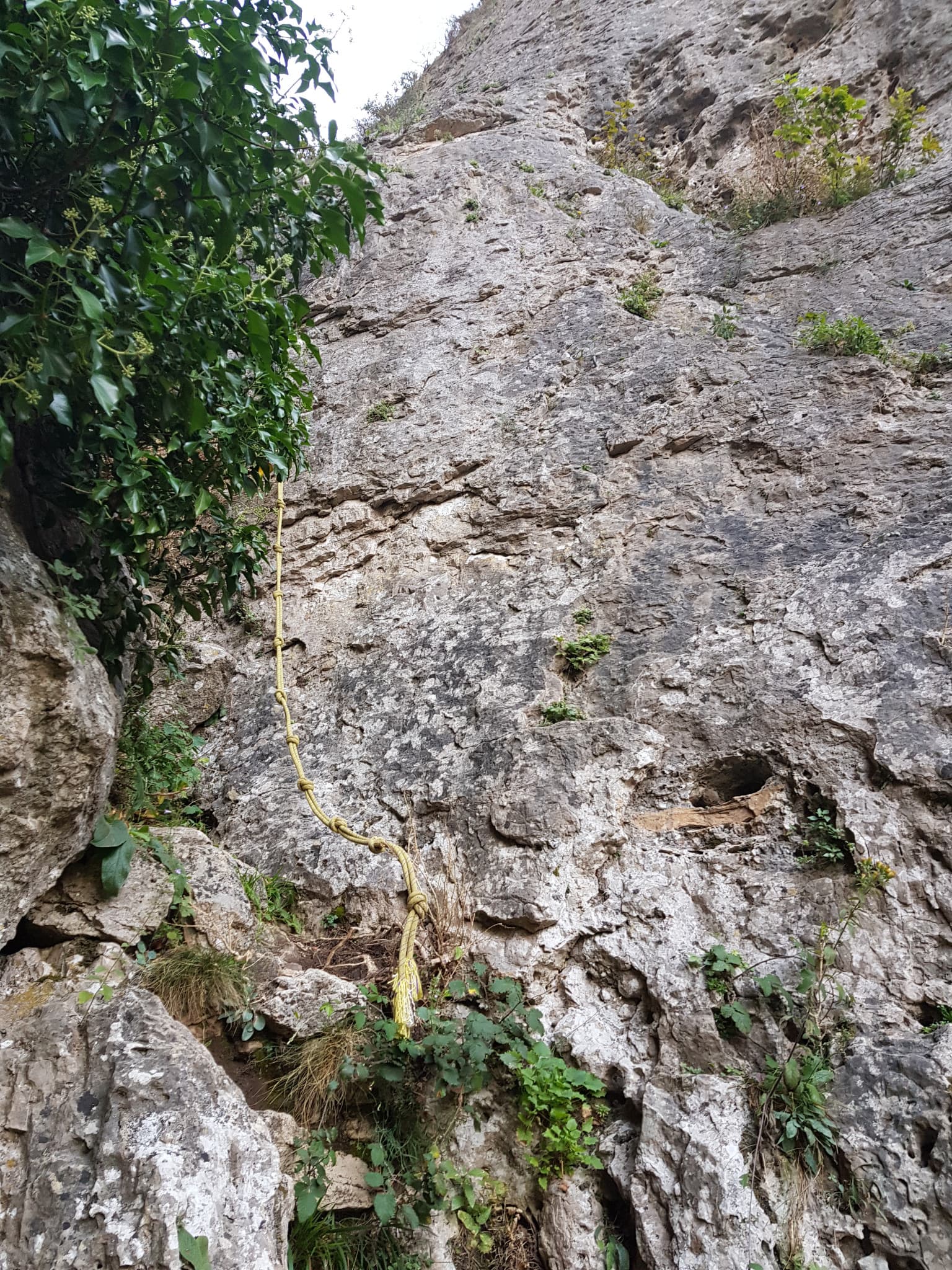
The start of La canicule t'emballe ?, just before the yellow fixed rope in the ravine

France · Gorges de la Jonte

La canicule t'emballe ?

A recent five-pitch route with unusually generous bolting for the Jonte. A long, fairly vertical 5c+ wall is followed by a traverse, a gully and an optional squeeze through a horizontal slot to a belay in a cave. Shaded in the morning and again from mid-afternoon.

5c+5 pitches110 m

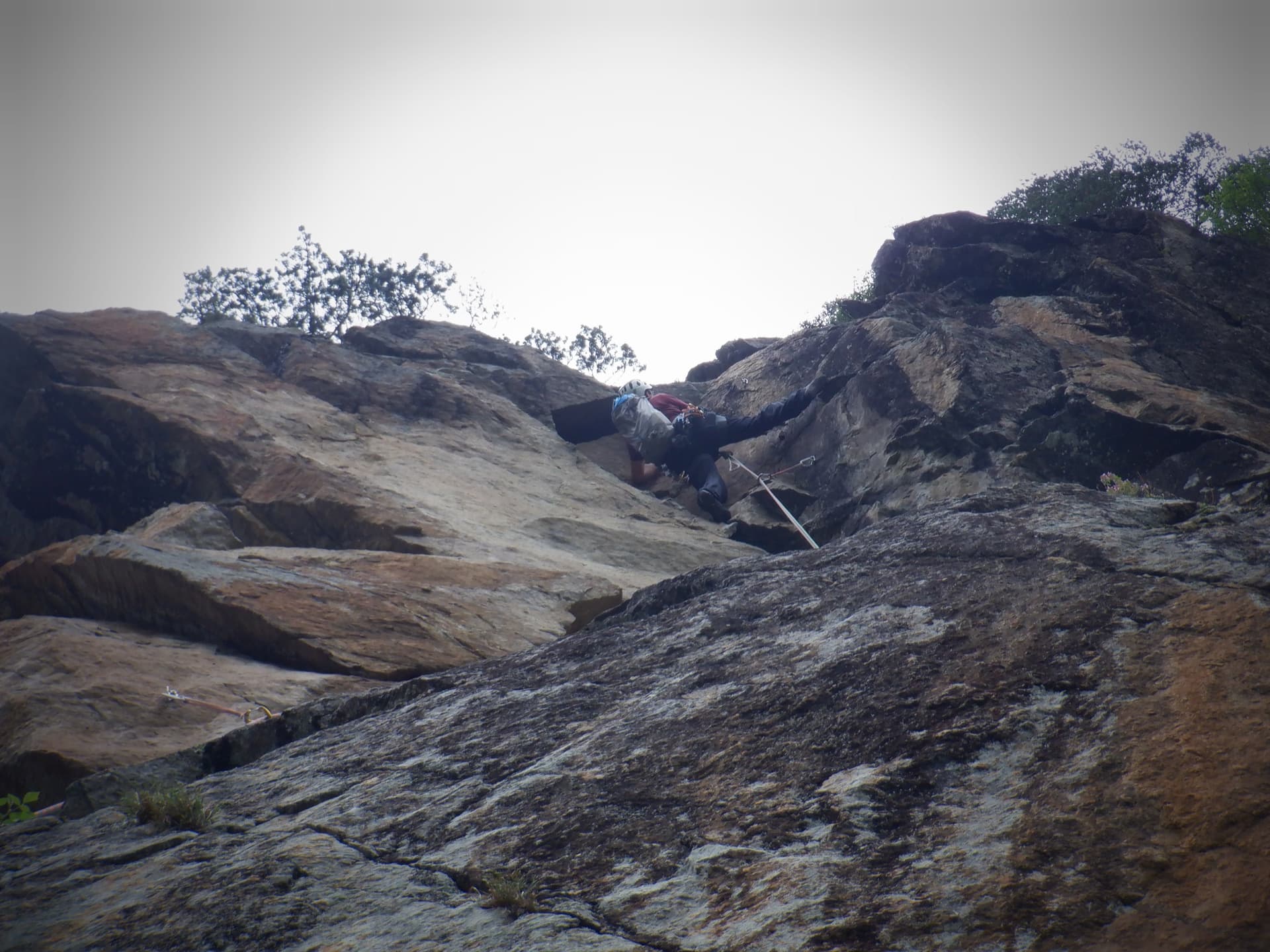
Just below the hard moves of the final corner on Südwind, Nösslachwand

Austria · Ötztal

Südwind

Five pitches of juggy gneiss wall and arêtes on the left side of the Nösslachwand, finishing up a slightly overhanging corner that you bridge. Not very demanding but athletic for the grade, with the crux right at the top.

5c+5 pitches150 m

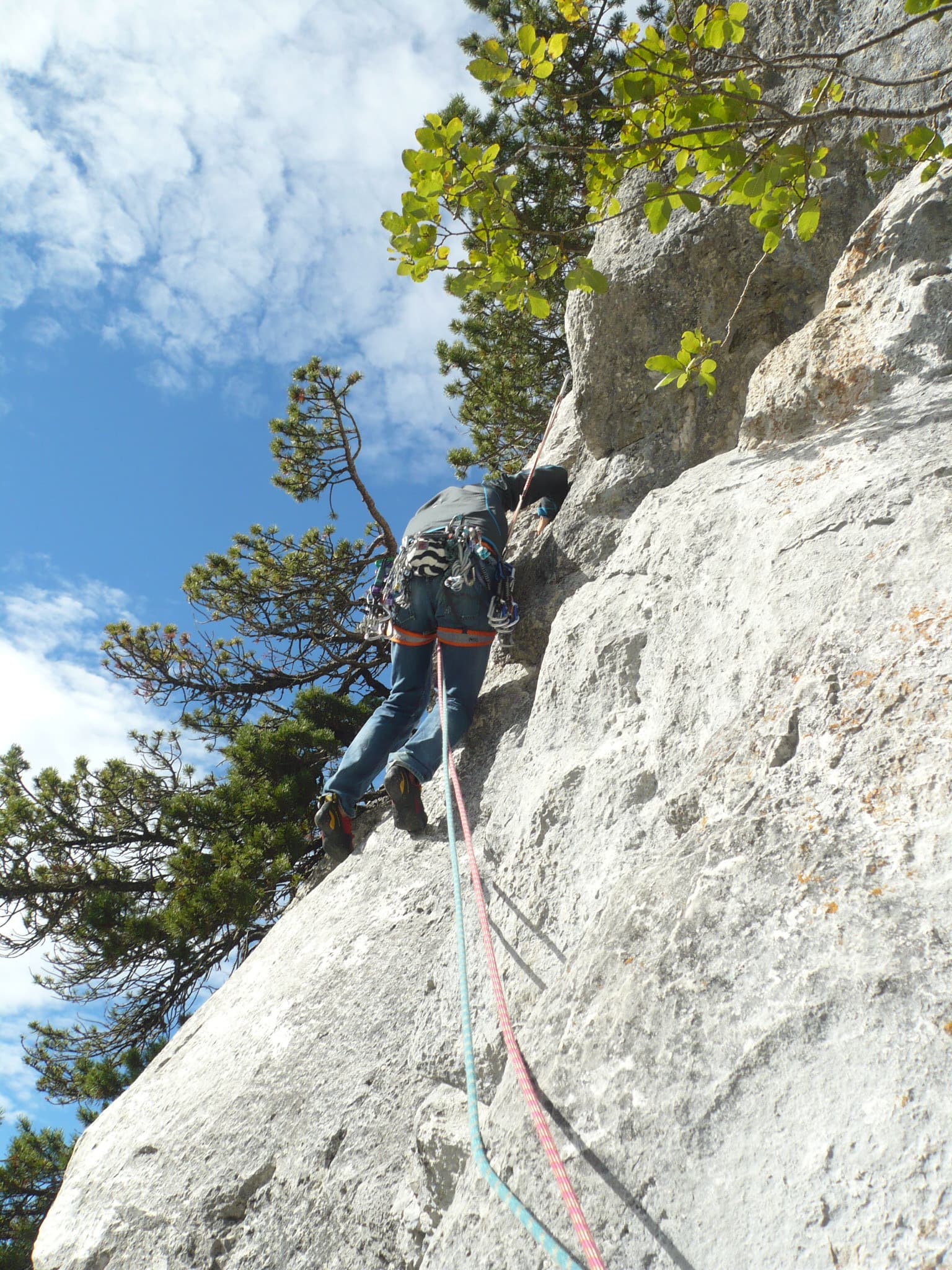
Setting off on the second pitch of Tante Ju

Switzerland · Glarus (Brüggler)

Tante Ju

Five pitches beside the big corner below the summit, topping out right at the Brüggler's summit cross. The first pitch is the 5c+ crux and the last has a single 5c move; the middle is easier and not very sustained, with a short vegetated traverse.

5c+5 pitches200 m

Committing

Compiled from published sources, last verified October 2026. Bolts, anchors and access change: check a current topo and read the disclaimer.