Switzerland · Grimsel
Sagittarius
A Grimsel granite classic: low-angle slabs lead to the famous 6a+ crack pitches and a thin 6b traverse, then steeper, sculpted ground. Sustained at 5c/6a throughout.
6b13 pitches400 m
Räterichsbodensee – Seeplatten · Grimsel · Switzerland
Read the cautionsEasy to bailBolting confidence: high
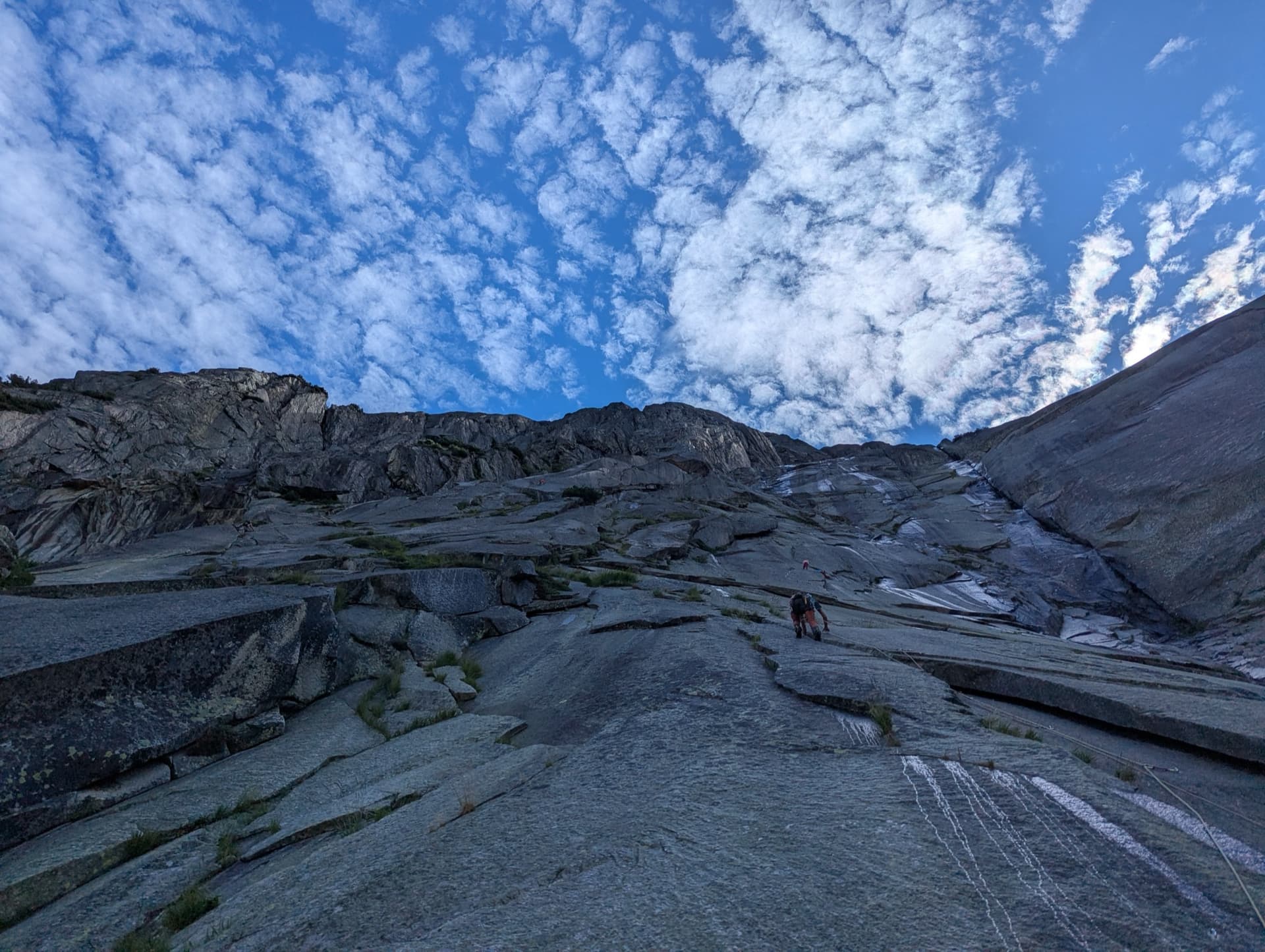
Ten pitches of smooth granite friction slab straight above the lakeside path of the Räterichsbodensee, a little easier than its neighbour Grimselstrom. The climbing is almost effortless physically and entirely in the head, with stiff Grimsel grading. A few faint cracks break up the slab.
Partly rebolted in 2024 and 2025 and declared climbable, but the sector suffered a rockfall in 2022 and debris still lies on the ledges.
The route
Tim und Struppi (the German name of Tintin and Snowy) is one of the long plaisir slabs on the Seeplatten, the granite sheets that drop to the path along the west shore of the Räterichsbodensee. It has ten pitches up to 5c, with an easy start, a walking transition and then six pitches of sustained friction. The sector was hit by a rockfall in June 2022 and the lakeside path was closed in summer 2023; Filidor reported in June 2025 that the path is open and that this route has been partly re-equipped and can be climbed again. At the top you can cross right to Lady Mary for six harder pitches.
The climbing
| Pitch | Grade | Notes |
|---|---|---|
| P1 | 4a | Easy slab. |
| P2 | 4b | Slab. |
| P3 | 2c | A transition pitch with two or three bolts for direction, which can be moved together. Take care crossing the gully. |
| P4 | 5a | A very attractive, varied pitch. |
| P5 | 5b | Proper climbing now, ending with a thin traverse right to the belay. |
| P6 | 5b | More slab. |
| P7 | 5c | A shade steeper; the crux. |
| P8 | 5a | Slab. |
| P9 | 4c | Slab. |
| P10 | 5b | Slab to the top. Lady Mary (6a, 6a+, 6a+, 6b, 5b, 5b) starts to the right. |
Getting there
The Gerstenegg and Räterichsbodensee slabs lie beside the Grimsel pass road, between Guttannen and the pass, reached from Meiringen and Innertkirchen on the Bernese side or over the pass from the Valais. The road is open roughly from May or June to October or November, depending on snow. There are car parks at Chüenzentennlen (1596 m), about 1 km below the Räterichsbodensee dam between the hairpins and the tunnel, and at the dam itself (1767 m). A PostBus runs from June to October and stops at both. Hotel Handeck, a few kilometres down the valley, has rooms and a dormitory; discreet bivouacs are tolerated at best.
From the car park at the Räterichsbodensee dam, cross the dam and follow the path cut into the rock along the far shore of the lake; the routes start directly from the path after 15 to 20 minutes. The name is painted in red at the start, discreetly and only in part ('Tim...'). Filidor's 2025 topo also marks an older start beside the present one.
Loading map
The point marks the crag, not the exact start of the route.
Parking
Räterichsbodensee dam (camptocamp waypoint 133701)
Point from camptocamp waypoint 41600 (Grimsel, Räterichsbodensee, Seeplatten)
Contains the route point and parking. Opens in most mapping apps and GPS watches.
Points are compiled from published sources, with the precision stated above. They were not surveyed on the ground: check them against a current topo.
Coordinates: 46.58285, 8.32338 (crag) · Parking: 46.59062, 8.32794
Getting down
Abseil the route with 2×50 m ropes; the second abseil is exactly 50 m, so knot the ends. Filidor warned in 2025 that rubble from the rockfall still lies on the ledges and asks for particular care when abseiling and pulling ropes.
Retreat
Easy to bail
Abseiling the route is the normal descent, so you can retreat from any belay with two 50 m ropes. Since the 2022 rockfall there is loose rubble on the ledges, so abseil and pull ropes carefully, above all with parties below.
Safety
Sun and weather
East facing slab from about 1790 m, in the sun in the morning. Friction climbing needs fully dry rock, and lichen on the Seeplatten is slippery. Low cloud often sits in the valley in the morning and lifts. The pass road normally opens in late spring and the bus runs June to October.
Sun on the wall · E-facing
Working out the sunlit hours for this month.
Sun on the wallDaylight, wall in shade● Usual season
Estimated from the wall's aspect only. Ignores surrounding terrain, gullies and the wall's exact shape. Clock times are local to the wall (Central European time), for the 15th of each month.
| Measure | Jan | Feb | Mar | Apr | May | Jun (usual season) | Jul (usual season) | Aug (usual season) | Sep (usual season) | Oct | Nov | Dec |
|---|---|---|---|---|---|---|---|---|---|---|---|---|
| Mean daily high °C | −3 | −1 | 2 | 5 | 9 | 14 | 17 | 17 | 13 | 8 | 2 | −2 |
| Mean daily low °C | −8 | −8 | −5 | −2 | 2 | 6 | 8 | 9 | 5 | 1 | −4 | −8 |
| Rain days 1 mm or more | 14 | 12 | 15 | 15 | 18 | 19 | 20 | 18 | 15 | 14 | 15 | 15 |
● marks the usual climbing season. Averages for 1991-2020 at about 1777 m. Area climate from Open-Meteo reanalysis. Temperatures are adjusted to the height of the crag; rain comes from a grid cell of about 10 to 25 km, and summer highs on sea cliffs can read a few degrees low. The wall and valley can differ. Data: Open-Meteo, CC BY 4.0.
What to carry
12 quickdraws are enough according to Filidor's 2025 update, and 2×50 m ropes. Before the rebolt some belays offered only the abseil maillon to clip, so carry a couple of slings and screwgates. Helmet essential.
Derived from the route data; check it against a current topo
From climbers
Reader reports are not being collected yet. Until they are, check a current topo and the local club or guidebook publisher for recent changes to Tim und Struppi.
Worth knowing
Open questions
Provenance
Same area
Switzerland · Grimsel
A Grimsel granite classic: low-angle slabs lead to the famous 6a+ crack pitches and a thin 6b traverse, then steeper, sculpted ground. Sustained at 5c/6a throughout.
6b13 pitches400 m
Switzerland · Grimsel
Glacier-polished slabs straight above the Räterichsboden dam. Four warm-up pitches lead to sustained 5b–5c slab and a short fissured roof (6a or A0).
6a11 pitches220 m
Read the cautions
Switzerland · Grimsel
Seven pitches of smooth, low-angle Grimsel granite, almost all pure friction, with two short steeper steps. Technically easy, but you have to trust your feet. A gentle introduction to Grimsel slab and to multipitch rope work.
4c7 pitches200 m
Switzerland · Grimsel
A short, varied granite route up a pale, smooth pillar across the valley from the Handegg slabs: a corner crack, then friction and edge slabs that get harder pitch by pitch. Grades are stiff, and the last pitch is sustained and tricky. A good half day or uncertain-weather route with a 15-minute approach.
6a5 pitches200 m
Around 5c · about 10 pitches
France · Cerces
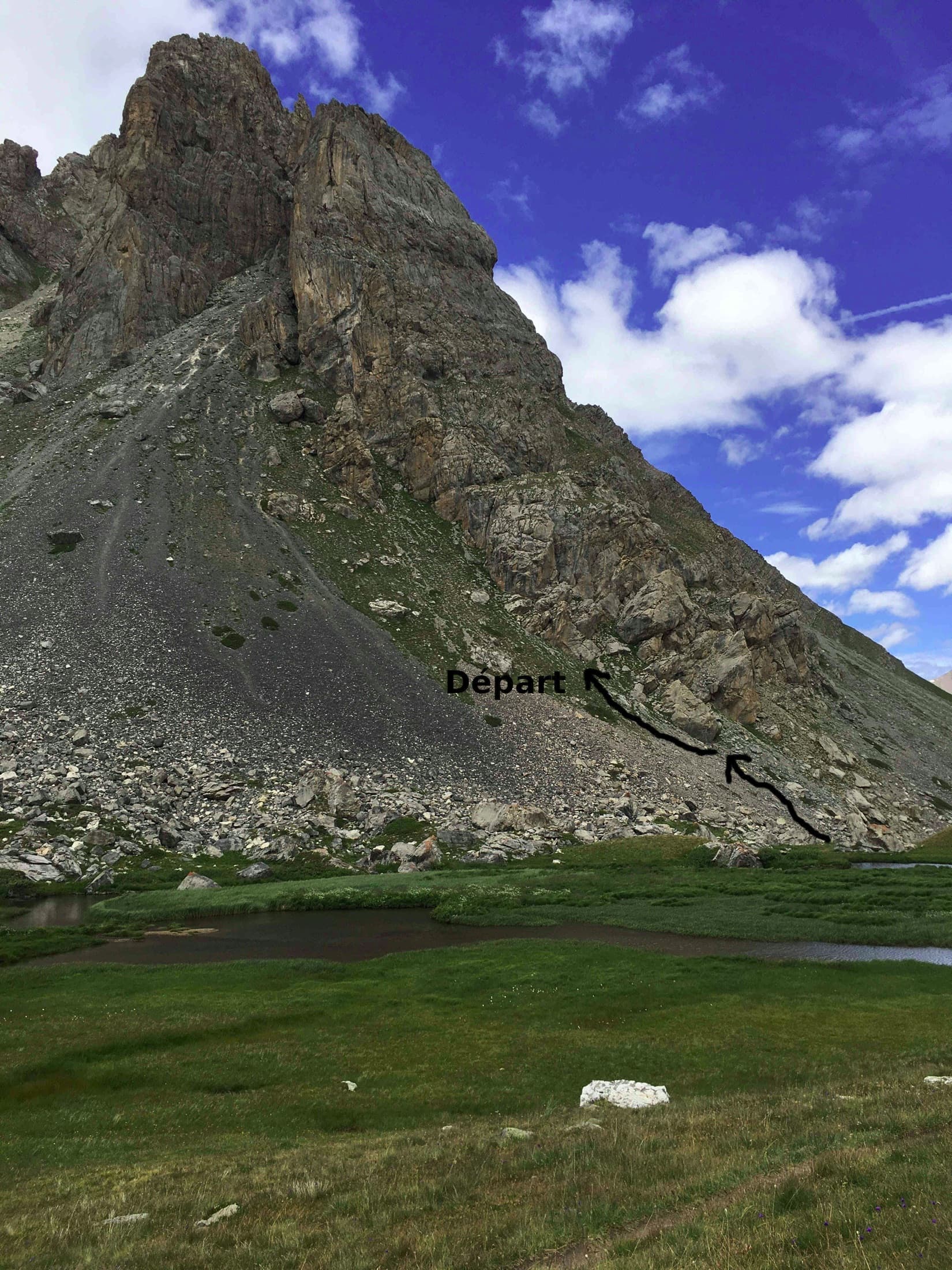
A long, easy mountain route above the Chardonnet hut in the upper Clarée valley: ten pitches of slabs, a chimney, grooved grey rock and a crest, linked by ledges and one 75 m walk. It is never sustained, with the 5c on a slabby traverse, and the best pitches are near the top. The setting is the attraction; the descent gully is the price.
5c10 pitches300 m
Italy · Arco & Valle del Sarca
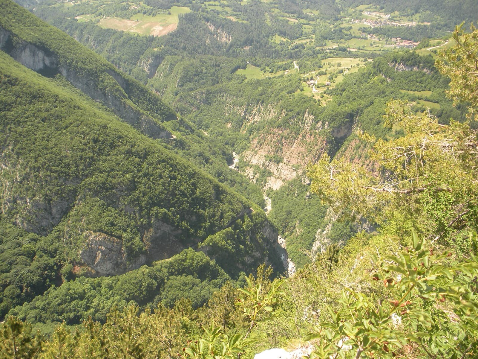
A succession of short walls and slabs separated by ledges, with the first two pitches shared with Amazzonia. The crux is a single 5c/6a move just below the P5 belay. It's a relaxed, well-protected outing above the Sarche gorge.
5c10 pitches250 m
France · Ailefroide
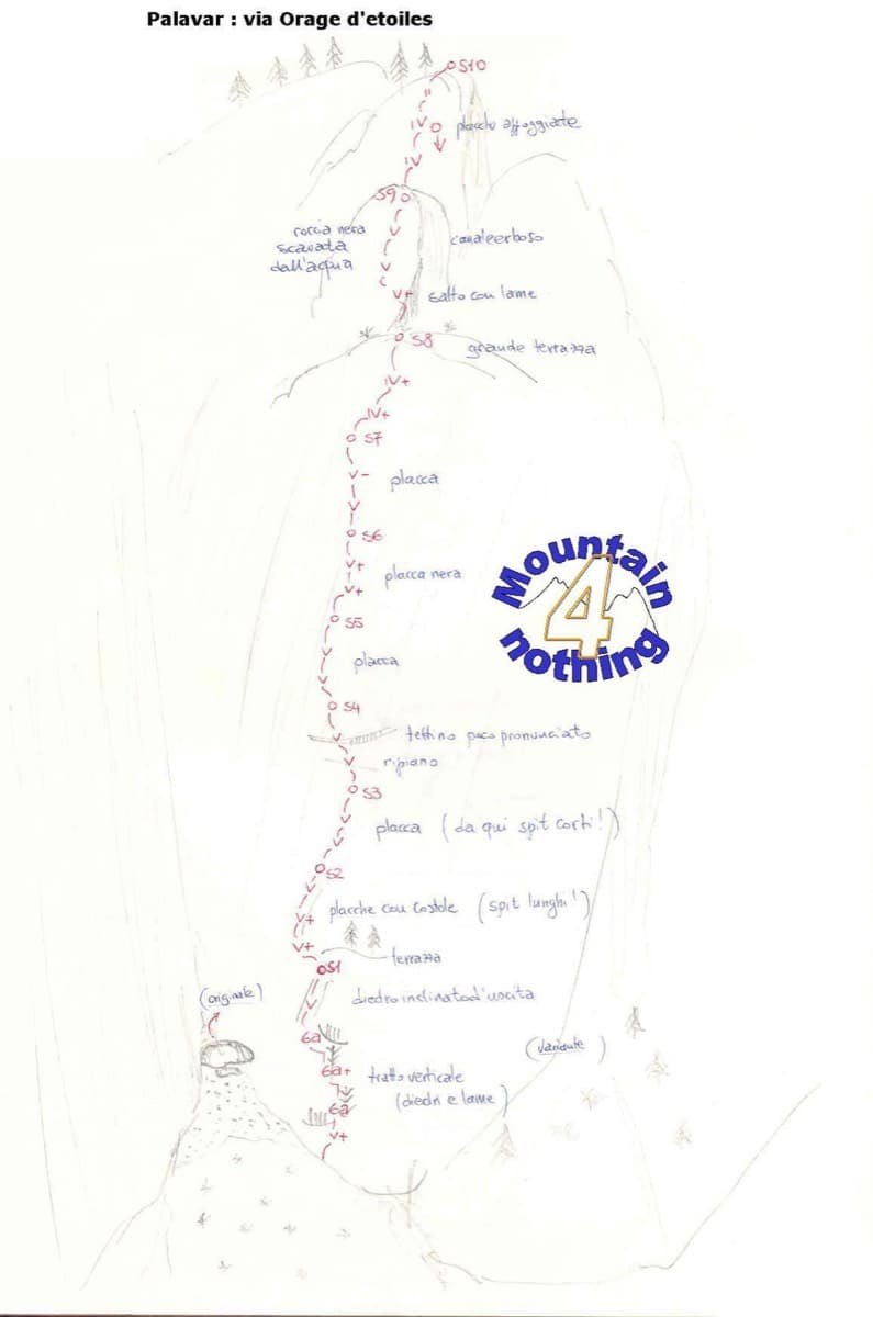
One of the best-known slab routes at Ailefroide: eleven pitches up the big inclined plane on the foothills of the Pelvoux, directly above the village. The style never changes, slab from bottom to top, mostly 5b with two pitches of 5c. The approach gully, damaged by a rockfall in 2013, is the serious part of the day.
5c11 pitches300 m
Read the cautions
France · Dentelles de Montmirail
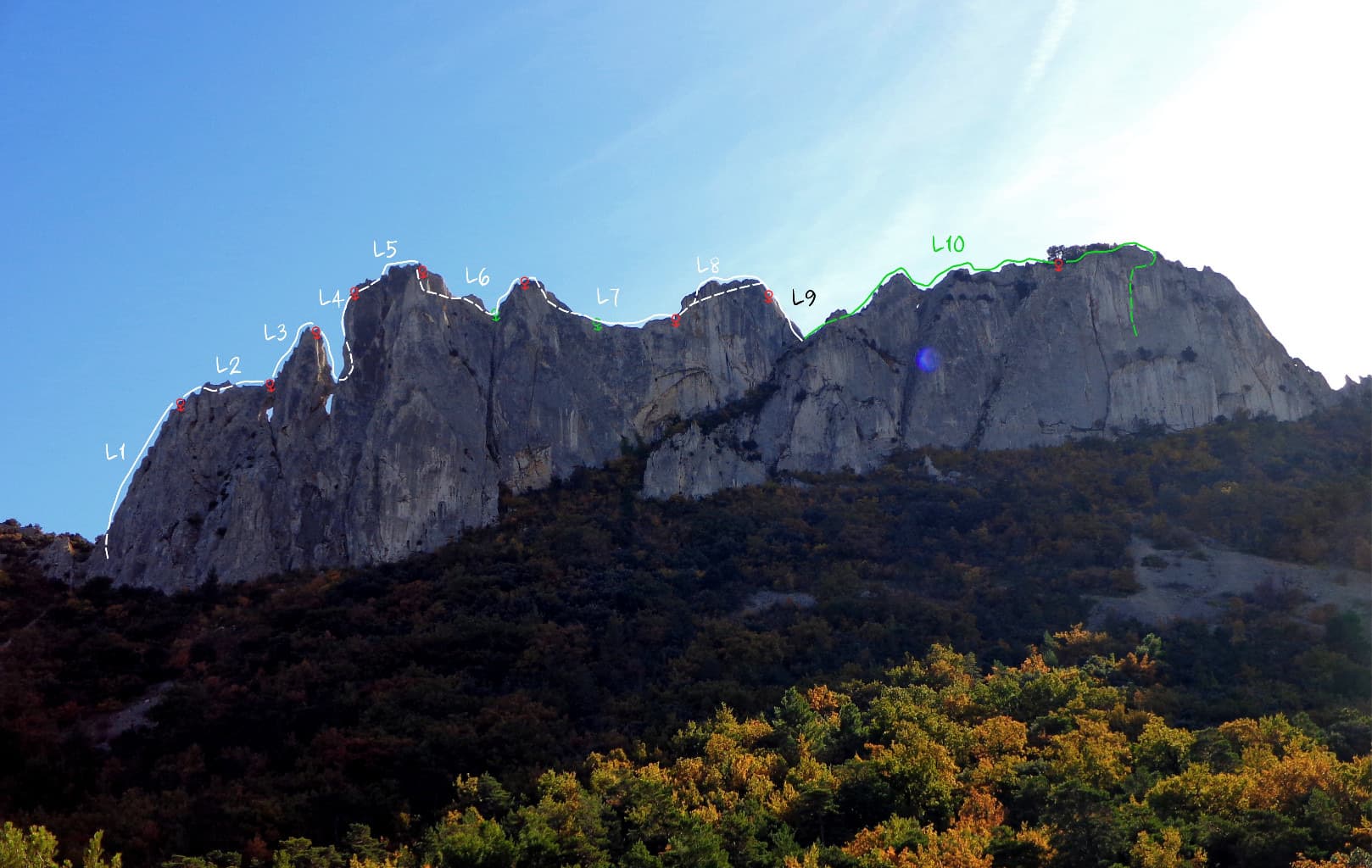
A ridge traverse along the knife-edge crest of the highest of the Dentelles, from the Brèche de la Pousterle to the Roc du Turc (627 m): a bolted arête, a pillar, an abseil onto a rock arch above a hole, a steep 5c or 6a pitch and a crest 50 cm wide in places. Lots of rope work and a lot of air for the grade, with escapes on both sides.
5c11 pitches90 m
Read the cautions
Compiled from published sources and last verified October 2026. Bolts, anchors and access change. Climbing is dangerous and you are responsible for your own decisions: check a current topo and read the disclaimer.