Multipitch Atlas

Spelling need not be exact.

Un sourire parmi les étoiles

Falaise de Prat Dessus · Pic du Gar (Comminges) · France

Read the cautionsEasy to bail

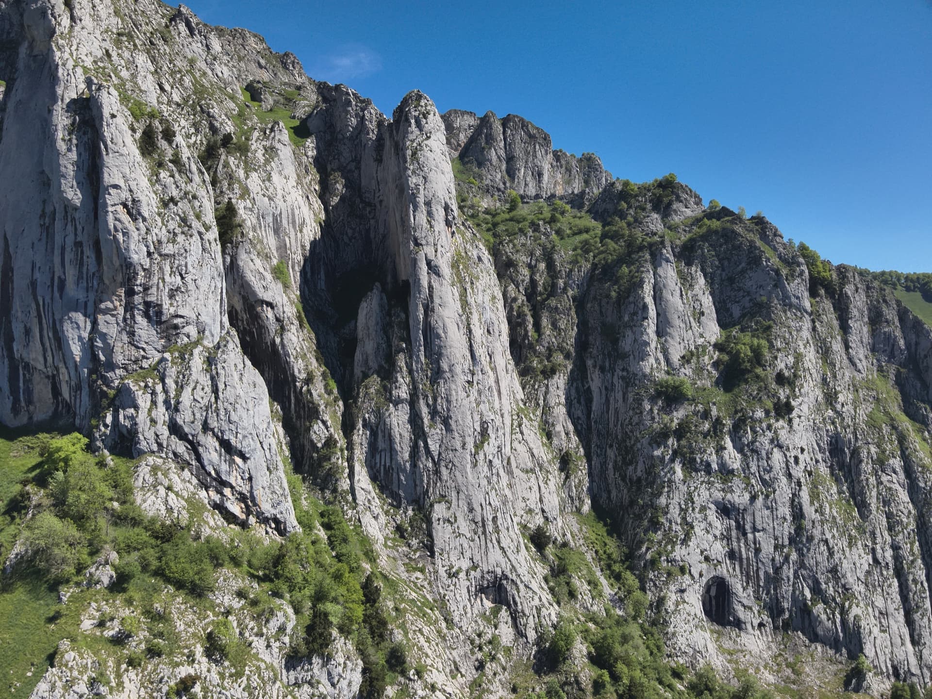
A modern, generously bolted route on clean grey limestone at the Prat Dessus cliff of the Pic du Gar, dedicated to a mountain rescue doctor. The three lower pitches are excellent technical slab and wall climbing on small edges and friction, with a short steep bulge on pitch 3; after a grassy terrace, two easier pitches on more fragile rock reach the top. Great views over the Garonne valley and the Luchon peaks.

Climbing the friction slab of pitch 2 of Un sourire parmi les étoiles, Pic du GarPhoto: Guillaume PHILIP · CC BY-NC-ND 3.0

Photo

Hardest pitch
6c
Pitches
5
Length
150 m
Approach
90 min
Aspect
SW
South-west-facing
Rope
2×50 m
Rock
limestone
Season
Mar to Jun, Sep to Nov
Bolting confidence
High
Last verified
October 2026 · Compiled from published sources
Read before you go

Superbly and closely bolted, but the upper two pitches are on fragile rock with loose holds and both approaches are pathless or by abseil.

Overview

Un sourire parmi les étoiles climbs the Falaise de Prat Dessus, a sub-summit cliff of the Pic du Gar above Garraux, in five pitches split by a grassy terrace. The three pitches below the terrace are the reason to come: fine, technical climbing on new, very adherent limestone, with a 6c move just below the first belay and a small overhang on pitch 3. Above the terrace the rock changes: pitch 4 is a traverse on fractured rock with loose holds, and pitch 5 finishes up a nicer wall. It was opened by the PGHM Luchon as a tribute to Guillaume Despiau, a mountain rescue doctor, and the bolting is deliberately close: parties comfortable at 6a on bolts can enjoy it and aid the harder moves.

Worth knowing

  • Several parties think the grades are not stiff and the overall TD+ generous; the pitches suit climbers comfortable at 6a on bolts who can pull through a few moves.
  • Approaching from above lets you climb with light packs and leave the quickdraws in on the way down.
  • A 2025 party suggests doing the first three pitches and switching to the neighbouring routes Petite Marie or Petitou above the terrace, which look more compact.
  • Allow about 3 to 4 hours on the route; recent parties took 6.5 to 7.5 hours car to car.

Pitch by pitch

No topo we can show. See: Quelques topos montagne des Pyrénées – Un sourire parmi les étoiles au pic du Gar.

Pitches of Un sourire parmi les étoiles
PitchGradeLengthNotes
P16c40 mDelicate from the start with balance moves trending right, then easier climbing with rests, and a hard, very well protected move just below the belay. Some bumps left of the bolts make the finish easier.
P26b25 mStraight up on friction, fine and technical, with one harder move in the middle. Short and very pretty slab with inclusions of black rock.
P36b+30 mTraverse right without climbing too high, then straight up through a small, poorly featured overhang (aided by some parties), and right at the end. More physical, on small edges. Then walk across the grassy terrace to the start of the upper section, well to the left.
P46a25 mTraverse right on fractured rock; beware loose holds and do not pull outwards. Dusty in places. The belay at the top is the one not chained, according to the opening team's topo.
P55c25 mEasy, slightly fragile start, then a fine wall on the right edge of the corner on small edges. The Spanish camptocamp text gives 6a and 30 m.

Approach

To the parking

Drive to Bézins-Garraux in the Garonne valley between Saint-Béat and Luchon (from Montréjeau towards Luchon, then towards Saint-Béat at the Chaum roundabout and up to Eup and Bézins-Garraux). Recent parties start either from Garraux (approach from below) or from Bézins on the Pic du Gar path (approach from above). Parking at the church in Bézins is now forbidden; a car park has been built by the cemetery.

On foot · about 90 min

From above (about 1 h 30): follow the Pic du Gar path to the Col de Teyech, leave it and follow a faint trail left to the top of the Prat Dessus cliff. The first chained abseil anchor is about 2 m below the top. Abseil 50 m to the grassy terrace, walk about 50 m along the grassy crest to a fixed rope, and at its end take the new chained anchor: with two 60 m ropes two abseils reach the start (skipping R2), otherwise three. This lets you leave the bags at the top. From below (1 h 10 to 1 h 30, no path): from Garraux follow the GR86 to the meadow before the Col de Matet, cross it towards the left side of the cliffs, enter the forest, pass a small rock band on the right and follow a wooded then grassy spur, steeper at the end, to the foot of the cliff at a small col where the route starts. It is steep: about 680 m of ascent in 3 km.

Map of the walk-in

Coordinates · crag

42.94514, 0.68985

Point from camptocamp waypoint 1353523 (Pic du Gar - Falaise de Prat Dessus)

For your phone or watch

Download GPX

Contains the route point.

Points from published sources, not surveyed.

Descent

Depends on the approach. If you came from above, you finish at the top of the cliff and walk back down the Pic du Gar path from the Col de Teyech, or extend the day to the Pic du Gar or Pic Saillant and loop back. If you came from below, either abseil the route on its chained anchors to your bags, or walk off by the normal path of the Pic du Gar.

Bailing off the route

Easy to bail

The belays are bolted and chained (except R4), and the route is commonly abseiled, both as the approach from above and as the descent by parties who left their bags at the bottom. You can retreat from any belay of the lower three pitches to the start, or from the terrace.

Retreat from
Any belay; from the terrace there is a dedicated chained anchor at the end of a fixed rope.
Point of no return
None documented.
Carry
Two 50 m ropes; with two 60 m ropes you can skip R2.
Basis
Stated in the sourcesCamptocamp, the opening team's topo and several outings describe abseiling the route.

In an emergency · France

112Emergency; sends PGHM or CRS mountain rescue

  • 17Gendarmerie and police

Position of the crag

42.94514, 0.68985

Marks the crag, not the route: give route and pitch.

Say what happened, how many are hurt, and where you are. Checked October 2026 (source).

Hazards

  • The top two pitches are on more fragile rock than the lower three; pitch 4 has loose holds, and parties in 2024 were still cleaning it.
  • The approach from below is pathless and steep, through forest and grassy slopes; one party mentions a bull in the meadow.
  • The approach from above relies on abseils, so you need to be confident setting up abseils and finding the right anchor: a 2021 party abseiled the wrong line.
  • Belay R4 is not chained, according to the first ascensionists.

Gear

19 quickdraws to clip every bolt; about 15 is enough if you skip some. Two 50 m ropes (two 60 m ropes save an abseil on the approach from above). Helmet.

Checklist

Quickdraws
19
Rope
2×50 m
Helmet
One each
Abseil device and prusik
For abseiling

Conditions

Plan B nearby

  • EasierGinseng6b8 pitchesfaces S0.9 km away

Straight-line distances, up to 30 km.

Reader reports

No reports yet.

Report a problem with this route

Say what and where. Reports are checked before they appear; no name or email is stored.

Bolts and history

Bolting
Put up in 2020 and 2021 by the PGHM Luchon and bolted very closely (one party counted a bolt every 1.5 m on the crux) with 10 mm bolts in the pitches and 12 mm bolts at the belays. Belays are chained except R4, according to the first ascensionists' topo. The upper two pitches are on more fragile rock, with loose holds on pitch 4.
History
Opened between 2020 and 2021 by Alexis Ballesta, Sébastien Lucéna and Jean-Pierre Pujolle of the PGHM of Bagnères-de-Luchon, as a tribute to Guillaume, a mountain rescue doctor who died young and was attached to the Pic du Gar and Bézins-Garraux.
Guidebook
Topo by the opening team on the topospyreneens blog; route on camptocamp.

Where sources disagree

  • Length: 150 m of climbing on camptocamp; 200 m on the opening team's topo.
  • Pitch 5: 5c and 25 m in the French camptocamp text; 6a and 30 m in the Spanish text.
  • Pitch lengths in the Spanish text are longer (40, 30, 40, 30, 30 m) than in the French text (40, 25, 30, 25, 25 m); the French figures, corrected by a 2023 party, are used here.
  • Ropes: camptocamp says 2×50 m is enough; the opening team says to rope up with 50 m; the approach from above is described with two 60 m ropes to save an abseil.

Sources

More in Pic du Gar (Comminges)

All routes in Pic du Gar (Comminges)
Aerial view of the south pillars of the Pic du Gar above Bézins-Garraux, where Ginseng climbs

France · Pic du Gar (Comminges)

Ginseng

The classic of the Pic du Gar: eight sustained pitches of 6a to 6b on sculpted, fluted limestone up a slender south-facing pillar above Bézins-Garraux. Mostly technical footwork and slab, with a short steep crux on pitch 4 that can be aided. Newly rebolted with glue-ins in 2026, and in a grand, quiet setting facing the Luchon mountains.

6b8 pitches210 m

Around 6c · about 5 pitches

Similar elsewhere

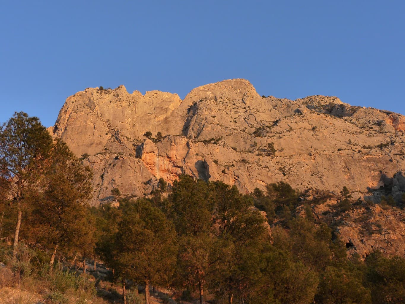
The Paredón de los Alcoyanos on the Cabeçó d'Or in evening light, seen from the pines on the approach. Delicatessen is on this wall; the line is not marked.

Spain · Costa Blanca (Cabeçó d'Or)

Delicatessen

Delicate, technical wall climbing on small edges up a detached pillar and then the magnificent grey headwall above the hanging garden of the Paredón de los Alcoyanos. Sustained at 6b and above with little rest for the feet, and bolted as a sport route. A step across the void from the top of the pillar is the route's oddity.

6c5 pitches160 m

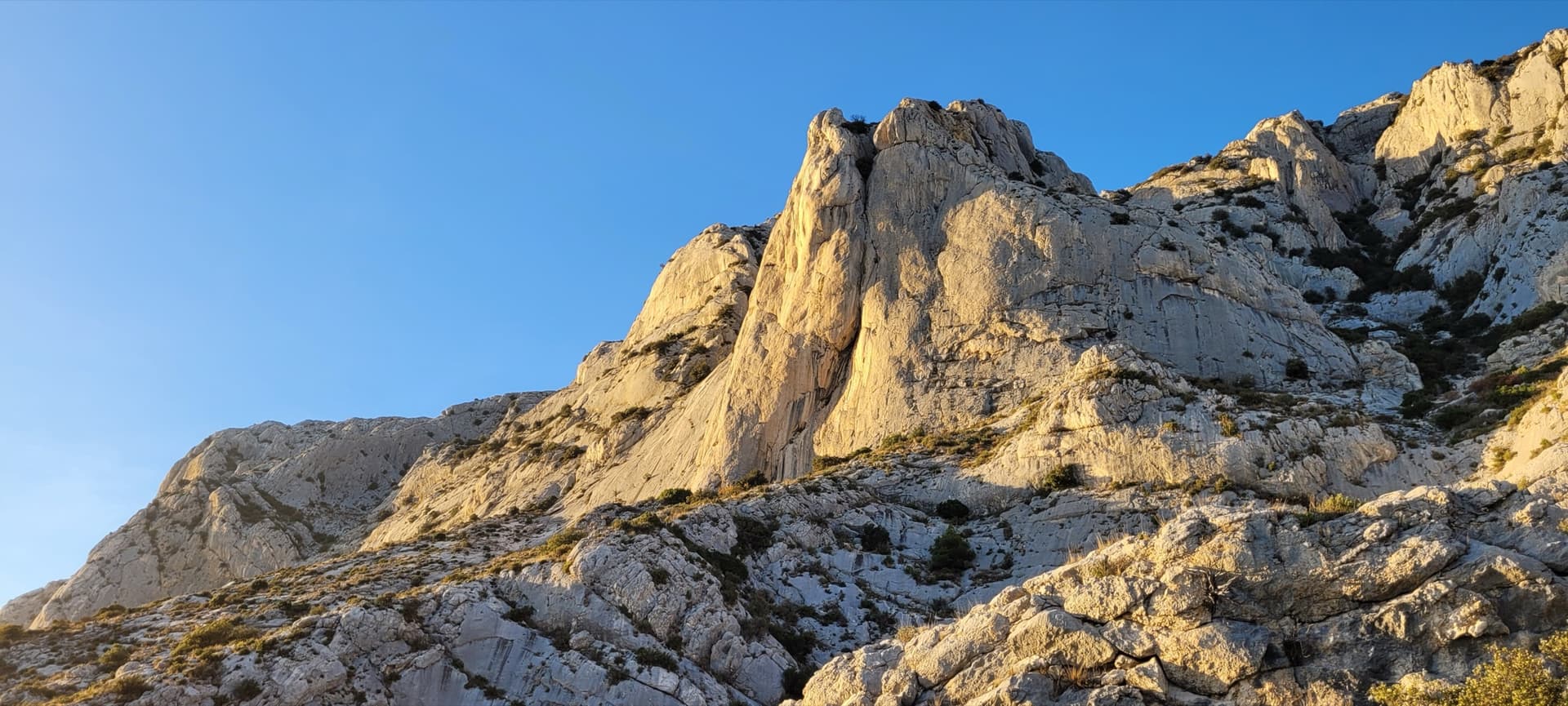
The Surplomb de la Carrière in evening light

France · Sainte-Victoire

Steppe Aromatique

Five pitches of demanding slab climbing on flawless grey rock at the left side of the Surplomb de la Carrière: two pitches of 6c, one of 6b+ with a finger crack, and a pocketed final wall. Closely bolted where it is hard, with an obligatory grade of 6a+.

6c5 pitches120 m

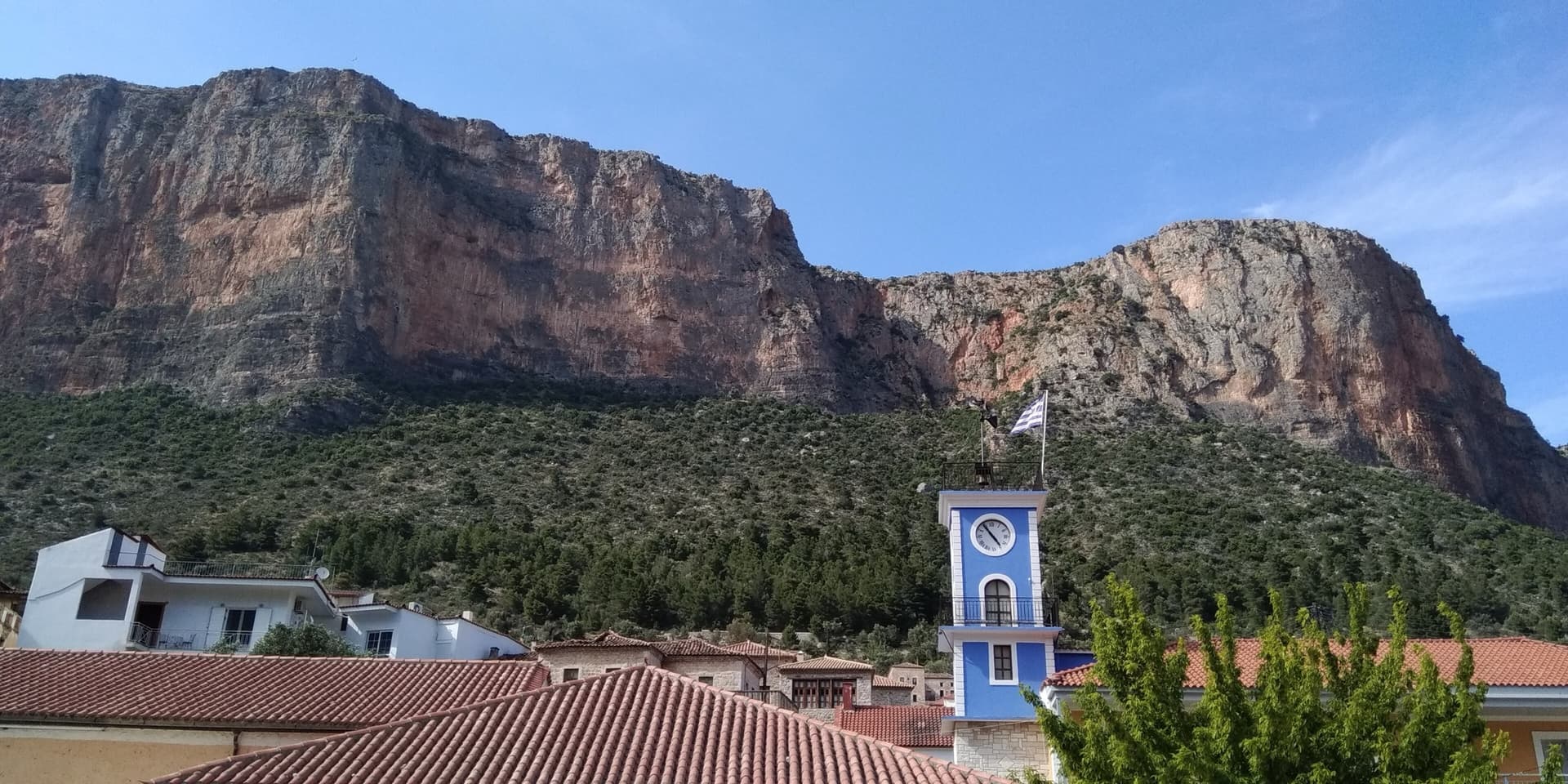
Kokkinovrachos seen from the centre of Leonidio; the Hospital sector lies towards the eastern (right-hand) end of the cliff

Greece · Leonidio & Kyparissi

Federer

The harder companion to We Salute You: five pitches, three of them 6c, on steep red and grey rock with good holds and bolts close enough to make the obligatory grade only 6a. The steep red sections of the second and fifth pitches are the highlights.

6c5 pitches155 m

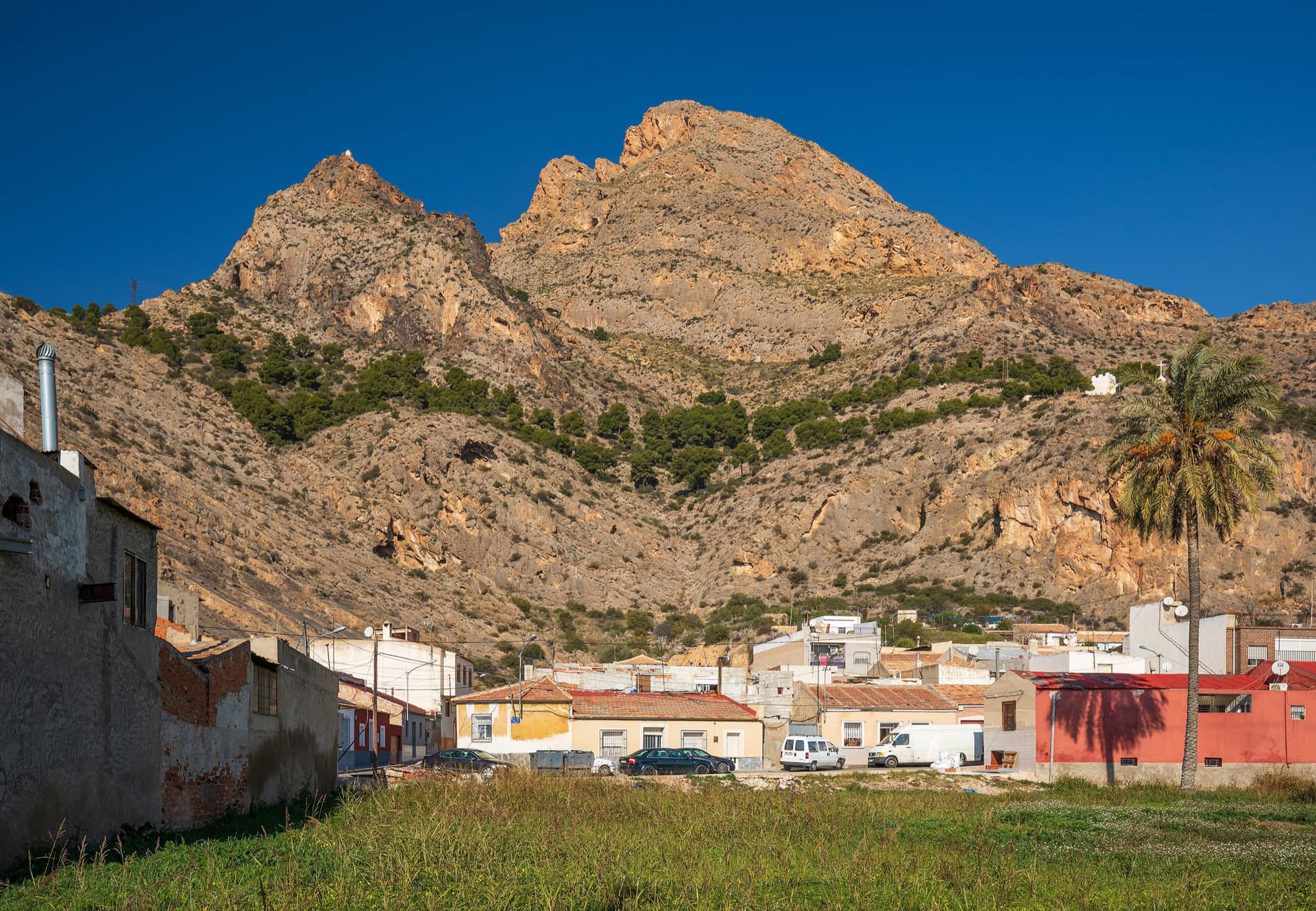
The Sierra de Callosa rising behind the houses of Redován; the La Pancha climbing sector is on this side of the range, a short walk above the village

Spain · Vega Baja (Orihuela & Callosa)

Silvia

The hardest of the La Pancha multipitch routes in the atlas: an easy first pitch, then three steep, demanding pitches of 6c, 6b and 6a+, the middle one 50 m long. Excellent rock apart from the start of pitch 2 and the first half of pitch 3. Not to be underestimated.

6c5 pitches165 m

Read the cautions

Compiled from published sources, last verified October 2026. Bolts, anchors and access change: check a current topo and read the disclaimer.