Multipitch Atlas

Steppe Aromatique

Le Surplomb de la Carrière · Sainte-Victoire · France

Bail with caveatsBolting confidence: high

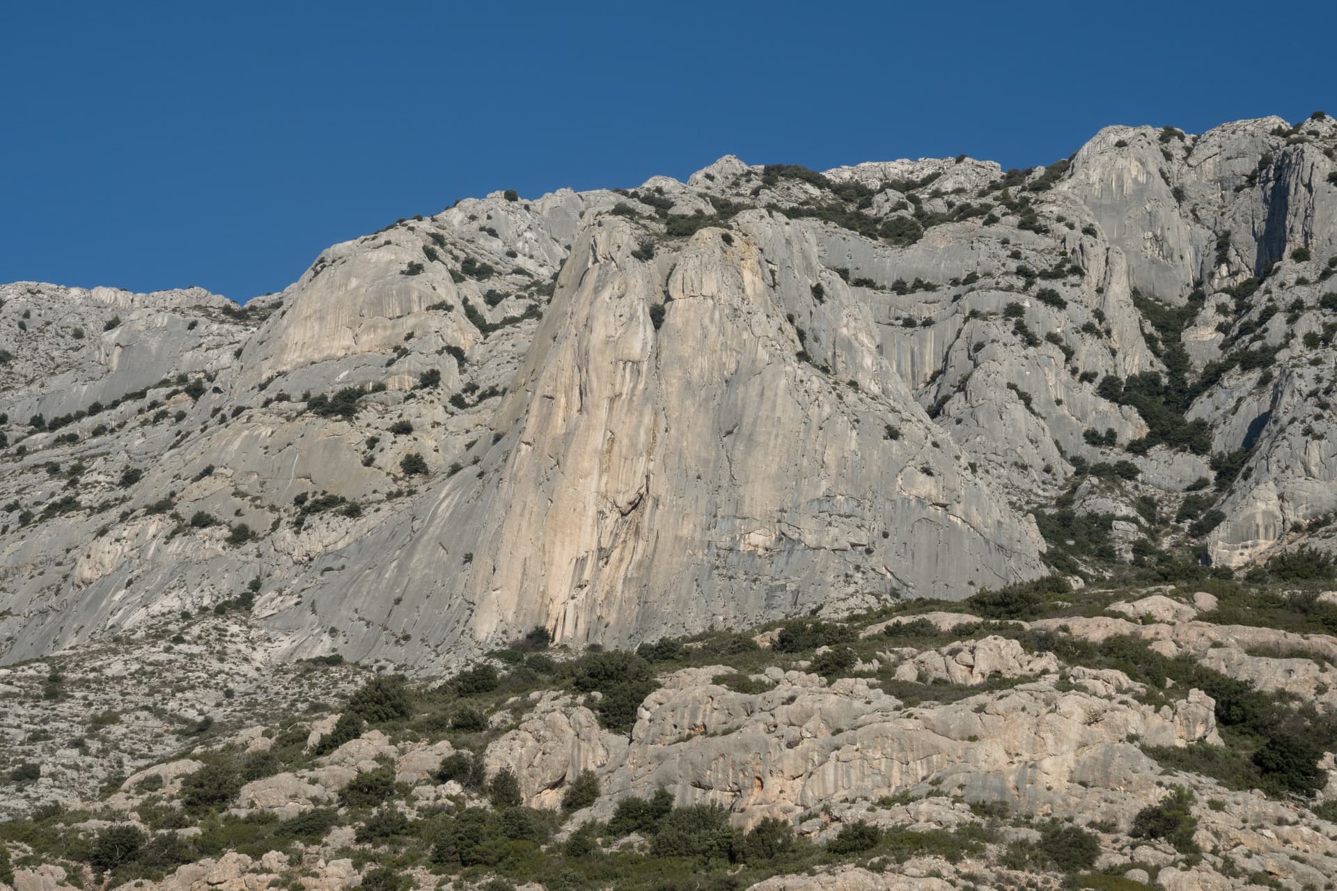
Five pitches of demanding slab climbing on flawless grey rock at the left side of the Surplomb de la Carrière: two pitches of 6c, one of 6b+ with a finger crack, and a pocketed final wall. Closely bolted where it is hard, with an obligatory grade of 6a+.

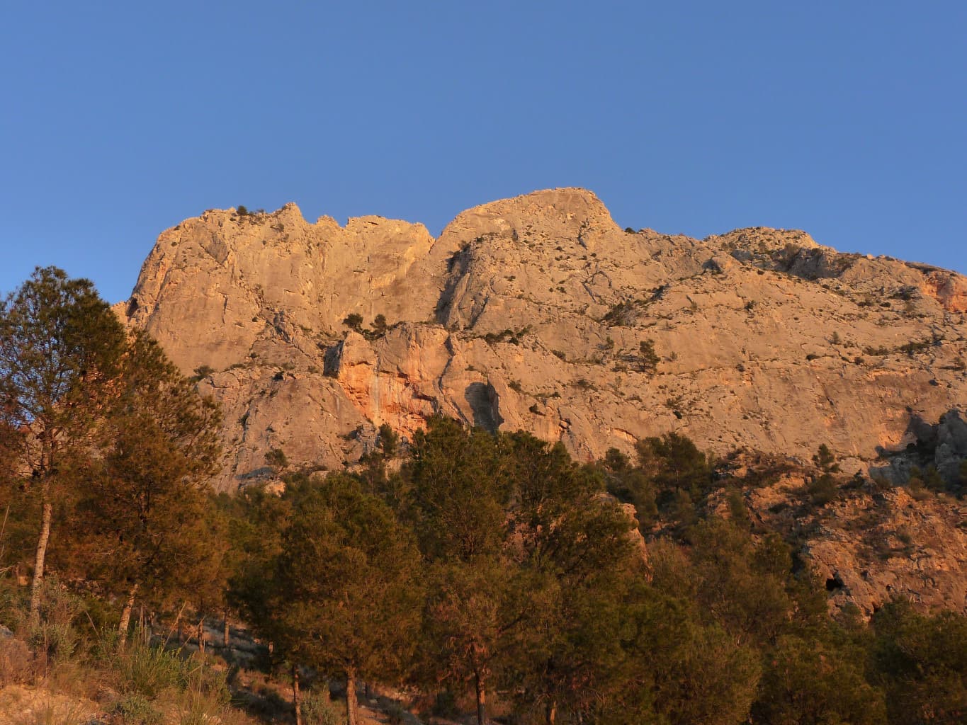
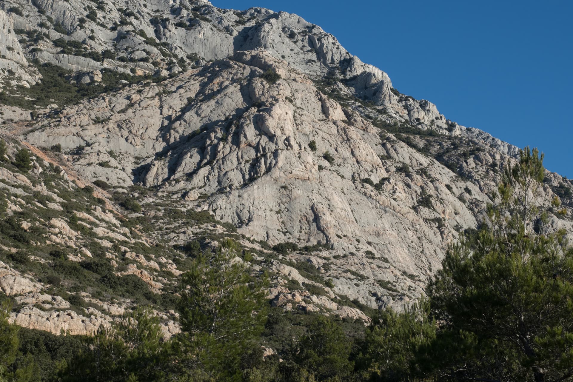
The Surplomb de la Carrière in evening lightPhoto: phil12 · CC BY-SA 3.0

Photo

The Surplomb de la Carrière in evening lightPhoto: phil12 · CC BY-SA 3.0
Hardest pitch
6c
Pitches
5
Length
120 m
Approach
40 min
Aspect
S
South-facing
Rope
2×50 m

The route

Overview

Steppe Aromatique shares its first pitch with Robin des Baouques and then keeps to the left, climbing the grey wall in four more pitches. The second pitch is a steep slab that has to be read move by move on tiny holds; the third follows a slab to a thin finger crack; the fifth starts up a wall of pockets and finishes on thin slab again. Recent parties describe two hours of sustained, technical climbing on rock with remarkable friction, and equipment that is a pleasant surprise for this mountain. The fourth pitch, on more broken rock, is the one place where the bolts are further apart.

The climbing

Pitch by pitch

Pitches of Steppe Aromatique
PitchGradeNotes
P16aLow-angled friction slab, then bigger holds. Shared with Robin des Baouques, which leaves right at the belay; another line goes off far left.
P26cA steep slab that needs reading: the crux spans two quickdraws on very small holds and precarious feet.
P36b+Slab, then a finger crack, to a belay on the right on the facing wall. One party found the move into the thin crack committing, above fractured rock. Can seep after rain.
P46aSlightly broken rock to a belay right of a tree. The bolts are further apart here and the rock is mediocre near the end, with a large unstable block.
P56cA superb wall of pockets, then more slab; the thin climbing continues to the top.

Getting there

Approach

To the parking

From Aix-en-Provence take the D17 through Le Tholonet towards Puyloubier. Pass Saint-Antonin-sur-Bayon and the Deux Aiguilles car park on the right, and about 500 m further park at the Parking de la Carrière, on the left of the road; there are roadside spaces on the left if the 'Marbrière' car park on the right is closed. Bus 110 (Aix to Puyloubier) runs along this road; camptocamp rates public transport to this car park as good. Aix has all services.

On foot · about 40 min

Follow the track from the car park to the brown-marked path and walk east below the Roque Vaoutarde. Leave the path a few metres after its first hairpin on a narrow but clear track, which winds up to rounded slabs and a scree-filled gully. Drop slightly, climb to the head of this gully, then traverse left more or less on the level above a second gully and head for the face by sight. Camptocamp links a GPS track. Allow 40 minutes, 30 once you know the way. The route name is written at the foot and is hard to miss.

Map of the walk-in

  • Crag
  • Parking

Loading map

The point marks the crag, not the exact start of the route.

Coordinates · crag

43.52814, 5.59658

Parking

43.51930, 5.59470

Parking de la Carrière on the D17 (camptocamp waypoint 115383)

Point from camptocamp waypoint 317117 (Sainte Victoire - Le Surplomb de la Carrière)

For your phone or watch

Download GPX

Contains the route point and parking. Opens in most mapping apps and GPS watches.

Points are compiled from published sources, with the precision stated above. They were not surveyed on the ground: check them against a current topo.

Getting down

Descent

The last belay is the abseil station: two linked bolts with a maillon. Make three abseils of about 40 m down Robin des Baouques; the first one snags easily. Alternatively walk down: go straight up for 30 m to a small col at the end of the Arête du Contradicteur, descend the gully and pass round the overhang on the right. A party did this in rock shoes on a very windy day in October 2025.

Retreat

Bailing off the route

Bail with caveats

The abseil line is the neighbouring Robin des Baouques, reached from the top. From the first belay, which the two routes share, you are on that line. Higher up, retreat from Steppe's own belays is not described.

Retreat from
R1 (shared with the abseil line). Other belays: not documented.
Point of no return
Not documented. From the fourth belay one pitch remains to the abseil station.
Carry
Two 50 m ropes; maillons to leave if you retreat from a belay that is not on the abseil line.
Basis
Inferred from the route factsCamptocamp describes only the descent from the top; the shared first belay is stated, the rest is inferred.

Partly inferred from the route facts

Safety

Hazards

  • Pitch 4: wider spacing on easier but poorer rock, and a large unstable block near the belay.
  • The move into the finger crack on pitch 3 has a bad landing on fractured rock if you fall before clipping.
  • The first abseil snags easily; in wind, consider walking down.
  • From 1 June to 30 September access to the massif depends on prefectural fire-risk orders, which can close it day by day; check before you set out.

Sun and weather

Conditions

South-facing limestone between roughly 400 and 950 m, a winter and mid-season venue: camptocamp lists January to May and September to December for this side of the mountain. Summer is too hot, and from 1 June to 30 September access to the massif depends on prefectural fire-risk orders, which can close it day by day; check before you set out. A February 2024 party found seepage on pitch 3. The sector catches the wind.

Usual season · Jan to May, Oct to Dec

Sun on the wall · S-facing

Working out the sunlit hours for this month.

  • January (usual season): not yet worked out
  • February (usual season): not yet worked out
  • March (usual season): not yet worked out
  • April (usual season): not yet worked out
  • May (usual season): not yet worked out
  • June: not yet worked out
  • July: not yet worked out
  • August: not yet worked out
  • September: not yet worked out
  • October (usual season): not yet worked out
  • November (usual season): not yet worked out
  • December (usual season): not yet worked out

Sun on the wallDaylight, wall in shade● Usual season

Estimated from the wall's aspect only. Ignores surrounding terrain, gullies and the wall's exact shape. Clock times are local to the wall (Central European time), for the 15th of each month.

Monthly climate averages for Sainte-Victoire, 1991-2020
MeasureJan (usual season)Feb (usual season)Mar (usual season)Apr (usual season)May (usual season)JunJulAugSepOct (usual season)Nov (usual season)Dec (usual season)
Mean daily high °C9101316202528282318129
Mean daily low °C−0−025914161612941
Rain days 1 mm or more7669853479107

● marks the usual climbing season. Averages for 1991-2020 at about 499 m. Area climate from Open-Meteo reanalysis. Temperatures are adjusted to the height of the crag; rain comes from a grid cell of about 10 to 25 km, and summer highs on sea cliffs can read a few degrees low. The wall and valley can differ. Data: Open-Meteo, CC BY 4.0.

What to carry

Gear

Quickdraw numbers are not published. Two 50 m ropes for the abseils. Helmet.

Checklist

Quickdraws
Number not given in the sources
Rope
2×50 m
Helmet
One each
Abseil device and prusik
The descent or the retreat involves abseiling
Maillons or spare karabiners
To leave behind if you retreat

Derived from the route data; check it against a current topo

From climbers

Reader reports

Reader reports are not being collected yet. Until they are, check a current topo and the local club or guidebook publisher for recent changes to Steppe Aromatique.

Worth knowing

Tips

  • Parties take 2 hours to 2 h 30 on the route, and about 4 hours car to car.
  • Robin des Baouques (6b+) shares the start and the abseils and is usually done the same day.
  • It is a winter route: one party climbed shirtless on 30 December.

Open questions

Where sources disagree

  • No year or full name is published for the bolting of this route.
  • Pitch lengths are not published; only the 120 m total and the 40 m abseils are.
  • Camptocamp's page for a third route on the wall describes Steppe and Robin as better cleaned and better equipped than their neighbour, which supports the trip reports.

Provenance

Sources

Same area

More in Sainte-Victoire

All routes in Sainte-Victoire
Le Socle de la Carrière, the pale limestone plinth at the foot of the south face of Sainte-Victoire.

France · Sainte-Victoire

La Marbrière

A sunny winter route on Sainte-Victoire's south-side socle. The highlight is a beautiful marbled slab on L5, and a stiff move off the last belay can be aided on a sling. Bring long slings to manage rope drag around the trees.

5c+7 pitches180 m
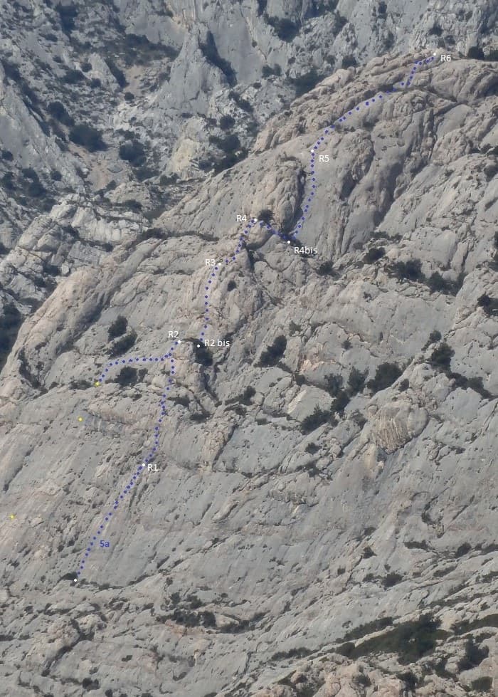
Line of Tambour Magique (dotted) with belays R1 to R6 on the Socle de la Carrière

France · Sainte-Victoire

Tambour Magique

A six-pitch outing at 5a to 5b on the compact 'marble' breccia of the Socle de la Carrière, running alongside La Marbrière. Short climbing sections on fine rock alternate with stony terraces. Bolting is friendlier than the local tradition, which makes it a good first route on the mountain.

5b6 pitches170 m

The Croix de Provence and the upper cliffs of Sainte-Victoire; La Commande finishes at the priory near the cross

France · Sainte-Victoire

La Commande

The long bolted route of Sainte-Victoire: 400 m from the foot of the mountain to the priory beside the Croix de Provence, in thirteen pitches up to 6b. Conglomerate walls low down, superb grey slabs higher up, and short walks between the tiers. Sustained around 6a, with a hard traverse on the second pitch.

6b13 pitches400 m

The Surplomb de la Carrière; Robin des Baouques climbs the grey slabs on its left side

France · Sainte-Victoire

Robin des Baouques

Four pitches on perfect grey rock at the left edge of the Surplomb de la Carrière: two friction slabs, then a surprisingly juggy roof and a long, thin slab at 6b+. Probably the easiest bolted route on this wall, but a serious one, with dry grades and 6b+ obligatory.

6b+4 pitches120 m

Read the cautions

Around 6c · about 5 pitches

Similar elsewhere

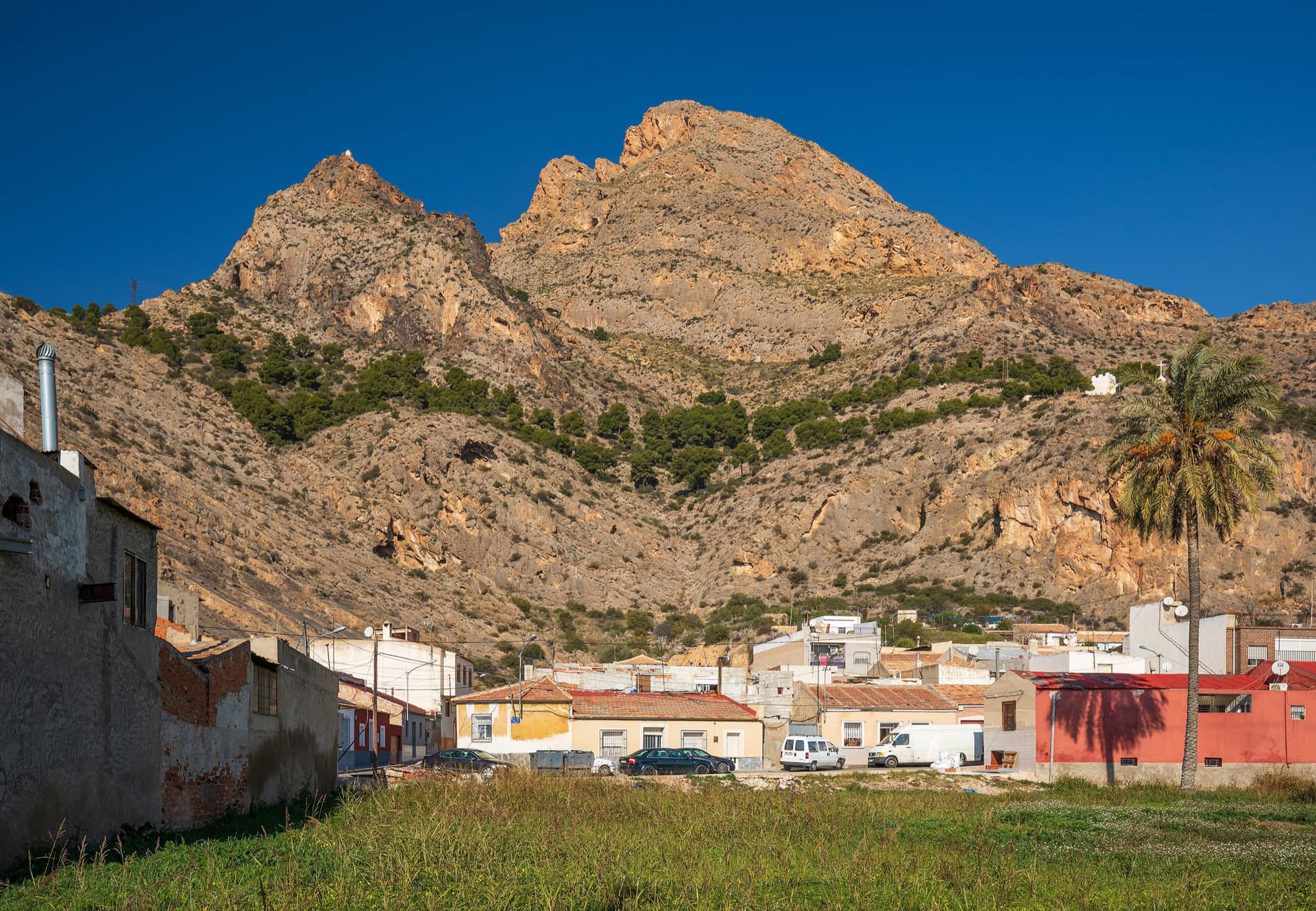
The Paredón de los Alcoyanos on the Cabeçó d'Or in evening light, seen from the pines on the approach. Delicatessen is on this wall; the line is not marked.

Spain · Costa Blanca (Cabeçó d'Or)

Delicatessen

Delicate, technical wall climbing on small edges up a detached pillar and then the magnificent grey headwall above the hanging garden of the Paredón de los Alcoyanos. Sustained at 6b and above with little rest for the feet, and bolted as a sport route. A step across the void from the top of the pillar is the route's oddity.

6c5 pitches160 m

Kokkinovrachos seen from the centre of Leonidio; the Hospital sector lies towards the eastern (right-hand) end of the cliff

Greece · Leonidio & Kyparissi

Federer

The harder companion to We Salute You: five pitches, three of them 6c, on steep red and grey rock with good holds and bolts close enough to make the obligatory grade only 6a. The steep red sections of the second and fifth pitches are the highlights.

6c5 pitches155 m

The Sierra de Callosa rising behind the houses of Redován; the La Pancha climbing sector is on this side of the range, a short walk above the village

Spain · Vega Baja (Orihuela & Callosa)

Silvia

The hardest of the La Pancha multipitch routes in the atlas: an easy first pitch, then three steep, demanding pitches of 6c, 6b and 6a+, the middle one 50 m long. Excellent rock apart from the start of pitch 2 and the first half of pitch 3. Not to be underestimated.

6c5 pitches165 m

Read the cautions

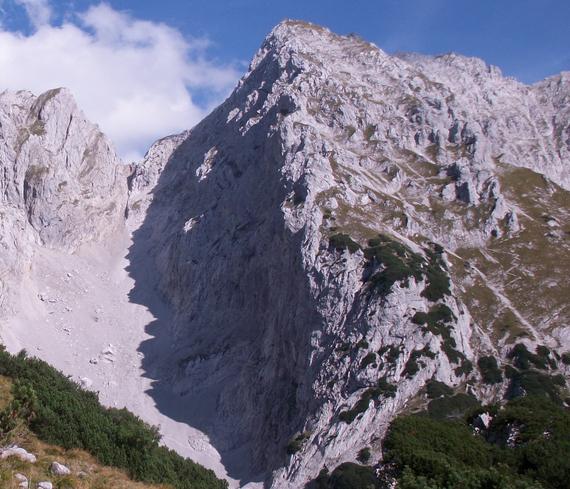
The Schneekar cirque and the north side of the Treffauer in the Wilder Kaiser; the route climbs the lower rocks of this flank, but the exact line is not marked.

Austria · Wilder Kaiser

Via Max

A short alpine sport route in the Schneekar that steepens as it goes: a scrambling start, fine water runnels on rough rock, then a smooth slab into an overhang on pitch 4. The crux is UIAA 7 to 7+ and can be aided on the bolts.

6c5 pitches180 m

Compiled from published sources and last verified October 2026. Bolts, anchors and access change. Climbing is dangerous and you are responsible for your own decisions: check a current topo and read the disclaimer.