Multipitch Atlas

Sainte-Victoire

France

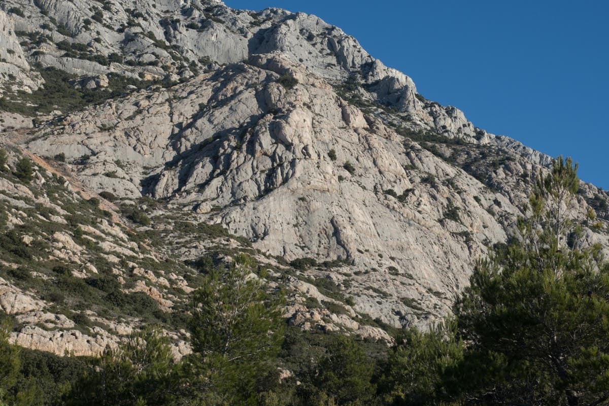
This long limestone ridge east of Aix-en-Provence was painted by Cézanne. Its south-facing base walls give sunny winter, spring and autumn climbing a short walk from the D17 car parks. In summer, fire-risk closures can shut the massif.

Route
1
Grade span
5c+
Longest route: La Marbrière
180 m

Where and when

Location and climate

Loading map

Le Socle de la Carrière, south side of Sainte-Victoire · 499 m

Monthly climate averages for Sainte-Victoire, 1991-2020
MeasureJan (usual season)Feb (usual season)Mar (usual season)Apr (usual season)May (usual season)JunJulAugSepOct (usual season)Nov (usual season)Dec (usual season)
Mean daily high °C9101316202528282318129
Mean daily low °C−0−025914161612941
Rain days 1 mm or more7669853479107
Sunshine hours a day7.38.610.111.212.513.914.012.810.88.97.47.1

● marks the usual climbing season. Averages for 1991-2020 at about 499 m. Area climate from Open-Meteo reanalysis (about 10 km grid): the wall and valley can differ. Data: Open-Meteo, CC BY 4.0.

1 route

Routes in Sainte-Victoire

Le Socle de la Carrière, Sainte-Victoire

France · Sainte-Victoire

La Marbrière

A sunny winter route on Sainte-Victoire's south-side socle. The highlight is a beautiful marbled slab on L5, and a stiff move off the last belay can be aided on a sling. Bring long slings to manage rope drag around the trees.

5c+7 pitches180 m

Local words

At the crag and in town

French

corde
rope
dégaine
quickdraw
spit, goujon
bolt
plaquette
bolt hanger
relais
belay, anchor
Sec !
Take!
Du mou !
Slack!
Avale !
Take in!

France

Other regions nearby