Multipitch Atlas

La Commande

Croix de Provence – Dalles Grises · Sainte-Victoire · France

Bail with caveatsBolting confidence: high

The long bolted route of Sainte-Victoire: 400 m from the foot of the mountain to the priory beside the Croix de Provence, in thirteen pitches up to 6b. Conglomerate walls low down, superb grey slabs higher up, and short walks between the tiers. Sustained around 6a, with a hard traverse on the second pitch.

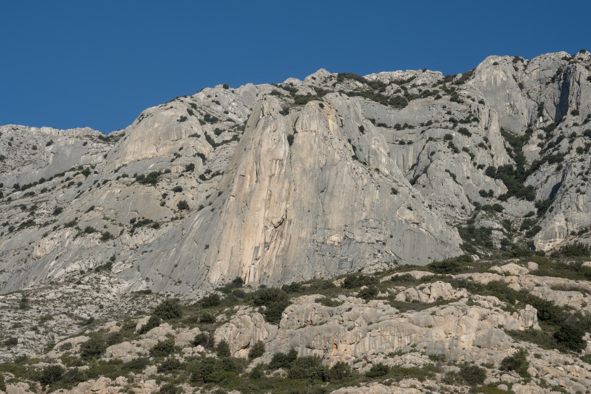
The Croix de Provence and the upper cliffs of Sainte-Victoire; La Commande finishes at the priory near the crossPhoto: Ddeveze · CC BY-SA 3.0

Photo

The Croix de Provence and the upper cliffs of Sainte-Victoire; La Commande finishes at the priory near the crossPhoto: Ddeveze · CC BY-SA 3.0
Hardest pitch
6b
Pitches
13
Length
400 m
Approach
25 min
Aspect
S
South-facing
Rope
–

The route

Overview

La Commande links the successive tiers of the south side below the priory into one long climb, and with 135 logged outings it is the most travelled bolted multipitch on the mountain. No tier is more than three or four pitches high and you walk between them, which breaks the atmosphere but also means escapes exist. The climbing itself is good throughout: a strenuous conglomerate traverse on pitch 2, a corner, a bouldery wall, then the two slab pitches of the Jardin des Moines tier at 6b and 6a, and a final steep wall that tops out in front of the priory terrace. Allow a full day and treat it as training for longer mountain routes.

The climbing

Pitch by pitch

Pitches of La Commande
PitchGradeLengthNotes
P15b30 mA wall of conglomerate to a belay on a small promontory on the right.
P26a+30 mA rising traverse left on conglomerate pebbles. Very sustained and a shock when cold; camptocamp writes it '6a++'. The bolts are close enough to pull on.
P36a30 mA small, well-protected corner just above the belay that needs reading, then rightwards and 10 m of walking to a belay at the foot of the slab opposite.
P45c45 mNo bolt for the first 10 m, on very easy ground. Pass right of a small tree to find the first bolt. The pitch ends the first tier on a wide ledge.
P54+–Walk, following cairns, and at the last one go left. A 3 m wall with one hanger leads to a single-bolt belay with a ring; it can be walked round on the left. Vertical Pirate gives 10 m.
P66a+40 mWalk 10 m through vegetation to the foot of a dark grey wall. A subtle, fierce start, then easier.
P76a15 mTwo athletic, bouldery moves at the start; well protected. A short pitch. Escape possible from this belay.
P84+–After a walk to the next tier, an easy wall of 5 to 10 m and 10 m of walking to the foot of the slab. It can be avoided on the left. Vertical Pirate reports that the belay at the foot of this tier was removed.
P96b40 mThe crux: a slab with a marked mantel high up, on friction, undercuts and reach. Recent parties found it reach-dependent.
P106a45 mPure steep slab. You pass a peg in a notch with a bolt just above, where you could belay; it is more logical to continue 5 m to two closer bolts at the top of the slab.
P115c30 mAfter walking towards the left side of the Prieuré notch: slab rising rightwards, then a steep wall on good holds. One bolt just after the start is far enough to risk a ground fall.
P125c30 mA steep, juggy wall; Vertical Pirate finds it slightly run-out.
P136a35 mA short thin traverse right in view of the people on the priory terrace, 10 m up, a traverse left, then a big flake to the exit. Hard for the grade and prone to rope drag. The two belay hangers are far apart but linked.

Getting there

Approach

To the parking

From Aix-en-Provence take the D17 through Le Tholonet towards Puyloubier and stop at the Plan d'En Chois car park, before the bends that lead up to Saint-Antonin-sur-Bayon. If it is full, try the next car park, Le Bouquet. Bus 110 (Aix to Puyloubier) stops here. Aix has all services.

On foot · about 25 min

From the car park follow the red-marked path to a junction with a well, a small building and a sign about closure periods. Take the path to the right and join the brown-marked path; do not take the yellow one. The brown path leads to the foot of the route, where a cairn stands directly below it. The route is the leftmost line of the Dalles Grises sector and starts between bushes on gold-coloured hangers. Allow 25 minutes.

Map of the walk-in

  • Crag
  • Parking

Loading map

The point marks the crag, not the exact start of the route.

Coordinates · crag

43.52786, 5.57719

Parking

43.52380, 5.56464

Plan d'En Chois car park on the D17 (camptocamp waypoint 106972)

Point from camptocamp waypoint 1253705 (Sainte Victoire - Les dalles grises)

For your phone or watch

Download GPX

Contains the route point and parking. Opens in most mapping apps and GPS watches.

Points are compiled from published sources, with the precision stated above. They were not surveyed on the ground: check them against a current topo.

Getting down

Descent

From the priory go west and north-west down the blue-marked path, then the red one. At a large cairn on the ridge cross to the west side and descend to the Cézanne hut and the car park. Allow 40 to 45 minutes.

Retreat

Bailing off the route

Bail with caveats

Camptocamp lists two escapes on foot: from the belay at the top of pitch 7 a ledge leads west to the yellow-marked path, and from the foot of the last tier a path also leads west to it. A party used the first of these in 2022. Abseiling is not described, and several belays on the linking sections are single bolts.

Retreat from
On foot from the top of pitch 7 and from the foot of the last tier (before pitch 11). The wide ledge after pitch 4 is also walking terrain, though no source names it as an escape.
Point of no return
The final three-pitch wall below the priory; once on it, the top is the way out.
Carry
Nothing special for the walk-offs. Check that the yellow path is open, since one section has been officially closed since 2019.
Basis
Stated in the sourcesEscapes are listed on the camptocamp route page and one was used by a 2022 party; the closure comes from the camptocamp car-park page.

Safety

Hazards

  • Ground-fall potential just after the start of the eleventh pitch, reported in April 2025.
  • Loose stones where pitches finish on ledges, with parties often below.
  • Single-bolt belays on the easy linking pitches, and one belay reported removed at the foot of the Jardin des Moines tier.
  • Both escapes lead to the yellow-marked path. Camptocamp notes that the 'pas de la savonnette' section of that path has been closed by municipal order since March 2019 because of rockfall danger; check its status before relying on it.
  • From 1 June to 30 September access to the massif depends on prefectural fire-risk orders, which can close it day by day; check before you set out.

Sun and weather

Conditions

South-facing limestone between roughly 400 and 950 m, a winter and mid-season venue: camptocamp lists January to May and September to December for this side of the mountain. Summer is too hot, and from 1 June to 30 September access to the massif depends on prefectural fire-risk orders, which can close it day by day; check before you set out. A party that tried it in a July heatwave had to escape after pitch 7, close to heatstroke and almost out of water; an April 2026 party already found the rock hot.

Usual season · Jan to May, Oct to Dec

Sun on the wall · S-facing

Working out the sunlit hours for this month.

  • January (usual season): not yet worked out
  • February (usual season): not yet worked out
  • March (usual season): not yet worked out
  • April (usual season): not yet worked out
  • May (usual season): not yet worked out
  • June: not yet worked out
  • July: not yet worked out
  • August: not yet worked out
  • September: not yet worked out
  • October (usual season): not yet worked out
  • November (usual season): not yet worked out
  • December (usual season): not yet worked out

Sun on the wallDaylight, wall in shade● Usual season

Estimated from the wall's aspect only. Ignores surrounding terrain, gullies and the wall's exact shape. Clock times are local to the wall (Central European time), for the 15th of each month.

Monthly climate averages for Sainte-Victoire, 1991-2020
MeasureJan (usual season)Feb (usual season)Mar (usual season)Apr (usual season)May (usual season)JunJulAugSepOct (usual season)Nov (usual season)Dec (usual season)
Mean daily high °C9101316202528282318129
Mean daily low °C−0−025914161612941
Rain days 1 mm or more7669853479107

● marks the usual climbing season. Averages for 1991-2020 at about 499 m. Area climate from Open-Meteo reanalysis. Temperatures are adjusted to the height of the crag; rain comes from a grid cell of about 10 to 25 km, and summer highs on sea cliffs can read a few degrees low. The wall and valley can differ. Data: Open-Meteo, CC BY 4.0.

What to carry

Gear

No source gives a quickdraw count or rope length. The longest pitches are 45 m and the descent is on foot, so parties climb on a single rope. Take long slings for the single-bolt and widely spaced belays, and plenty of water. Helmet: stones lie on every ledge.

Checklist

Quickdraws
Number not given in the sources
Rope
Length not given in the sources
Helmet
One each

Derived from the route data; check it against a current topo

From climbers

Reader reports

Reader reports are not being collected yet. Until they are, check a current topo and the local club or guidebook publisher for recent changes to La Commande.

Worth knowing

Tips

  • Parties take 4 h 30 to 6 h 30 on the route; a team of three took 10 hours. Carry a head torch in the short days of November.
  • Pitch 2 and the start of pitch 7 can be eased by pulling on the quickdraws.
  • Pitch 5 and pitch 8 are a few metres each and are often walked round.
  • Grades are modern, not the traditionally stiff Sainte-Victoire ones, according to an April 2026 party.

Open questions

Where sources disagree

  • Pitch 2: '6a++' on camptocamp, 6a+ on Vertical Pirate; both call it hard.
  • Pitch count: both sources list 13 pitches, but pitches 5 and 8 are a few metres long and often skipped, and camptocamp's own text refers to a walk 'leading to L11' after its tenth pitch.
  • Belay after pitch 7: two bolts according to camptocamp, one according to Vertical Pirate.
  • Protection: reports range from 'close' and 'excellent' to 'one or two places where another bolt would be welcome'.
  • Time: 5 to 6 hours on camptocamp; 4 h 30 to 10 hours in trip reports.

Provenance

Sources

Same area

More in Sainte-Victoire

All routes in Sainte-Victoire
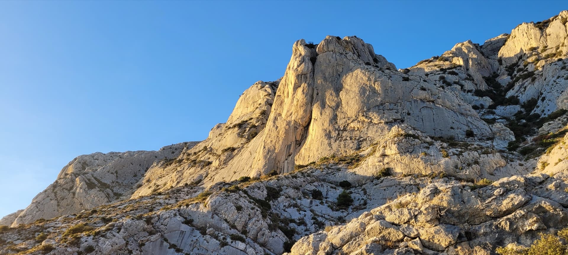
Le Socle de la Carrière, the pale limestone plinth at the foot of the south face of Sainte-Victoire.

France · Sainte-Victoire

La Marbrière

A sunny winter route on Sainte-Victoire's south-side socle. The highlight is a beautiful marbled slab on L5, and a stiff move off the last belay can be aided on a sling. Bring long slings to manage rope drag around the trees.

5c+7 pitches180 m
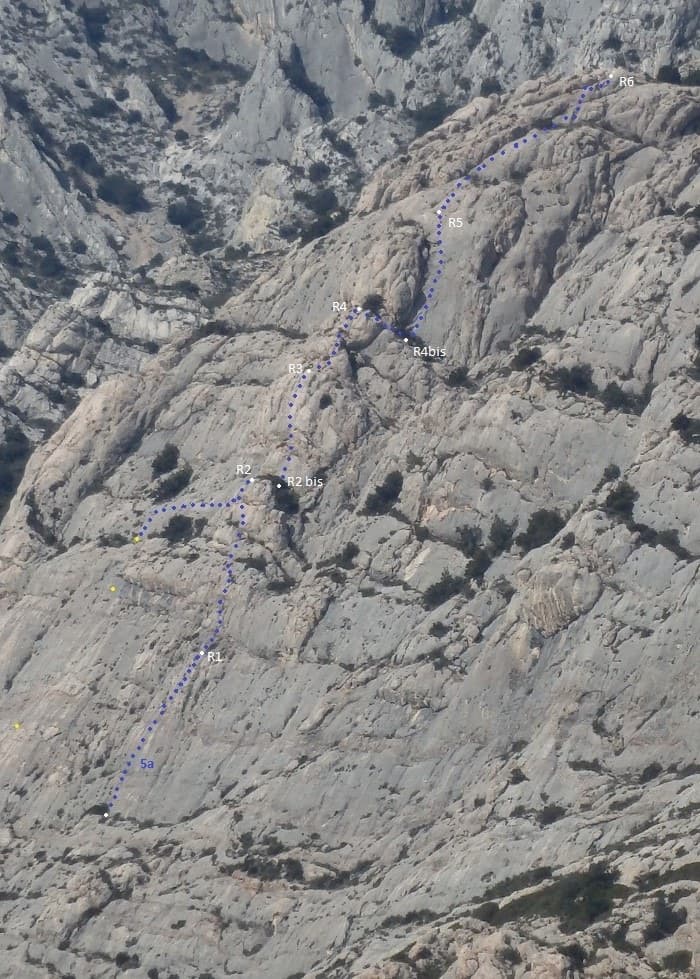
Line of Tambour Magique (dotted) with belays R1 to R6 on the Socle de la Carrière

France · Sainte-Victoire

Tambour Magique

A six-pitch outing at 5a to 5b on the compact 'marble' breccia of the Socle de la Carrière, running alongside La Marbrière. Short climbing sections on fine rock alternate with stony terraces. Bolting is friendlier than the local tradition, which makes it a good first route on the mountain.

5b6 pitches170 m

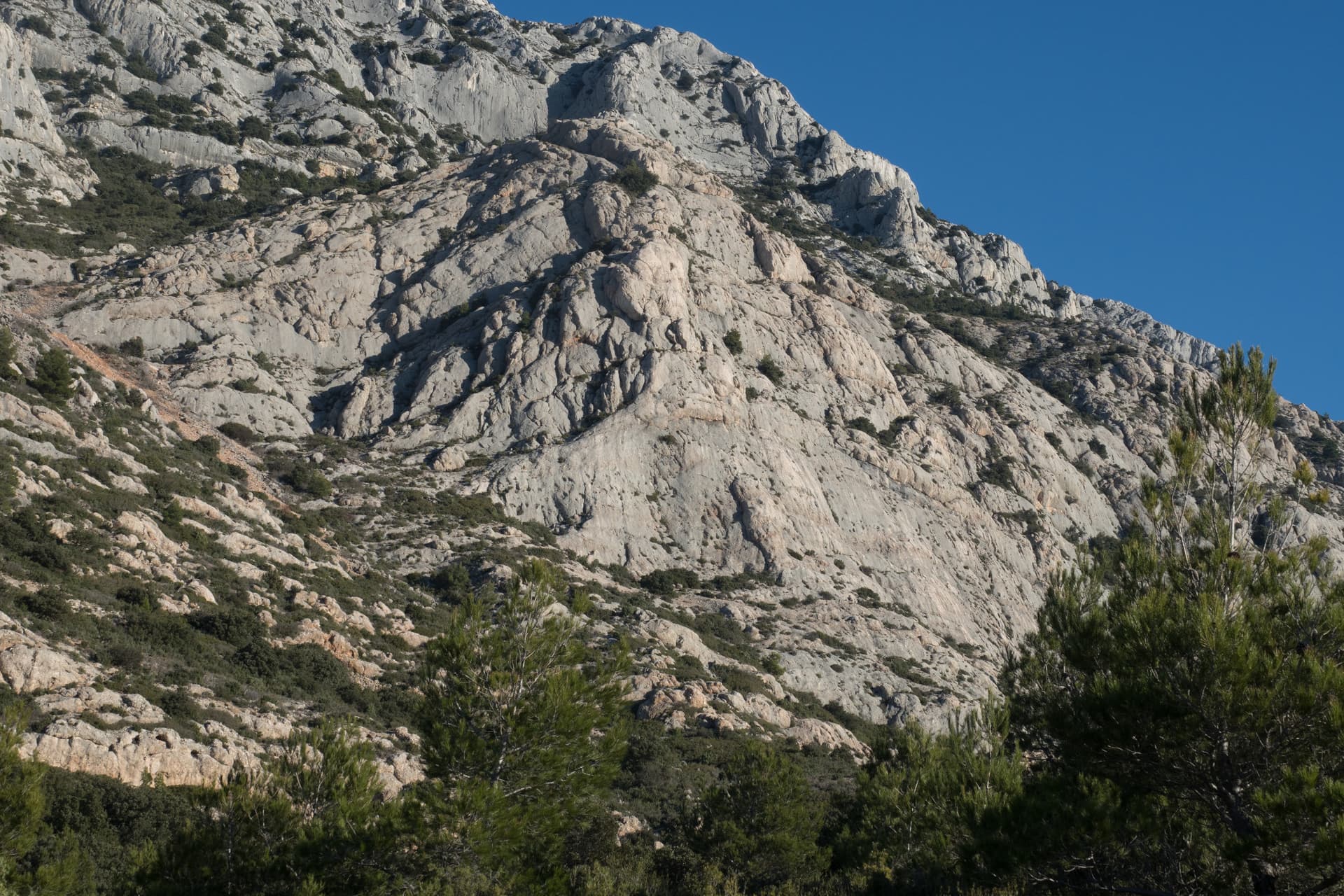
The Surplomb de la Carrière; Robin des Baouques climbs the grey slabs on its left side

France · Sainte-Victoire

Robin des Baouques

Four pitches on perfect grey rock at the left edge of the Surplomb de la Carrière: two friction slabs, then a surprisingly juggy roof and a long, thin slab at 6b+. Probably the easiest bolted route on this wall, but a serious one, with dry grades and 6b+ obligatory.

6b+4 pitches120 m

Read the cautions

The Surplomb de la Carrière in evening light

France · Sainte-Victoire

Steppe Aromatique

Five pitches of demanding slab climbing on flawless grey rock at the left side of the Surplomb de la Carrière: two pitches of 6c, one of 6b+ with a finger crack, and a pocketed final wall. Closely bolted where it is hard, with an obligatory grade of 6a+.

6c5 pitches120 m

Around 6b · about 13 pitches

Similar elsewhere

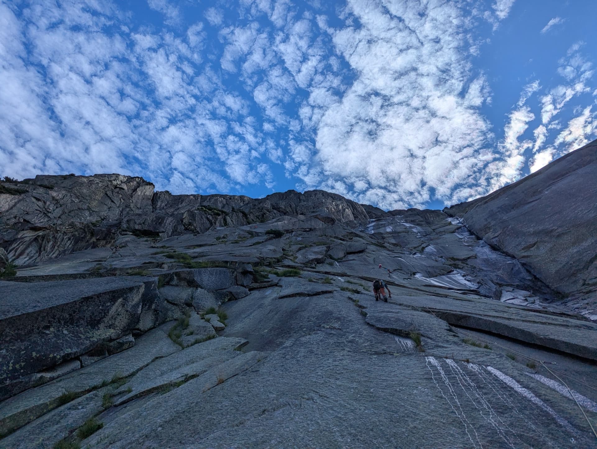
The granite slabs of the Gelmerfluh under a mackerel sky, photographed from pitch 3 of Savoir Vivre.

Switzerland · Grimsel

Sagittarius

A Grimsel granite classic: low-angle slabs lead to the famous 6a+ crack pitches and a thin 6b traverse, then steeper, sculpted ground. Sustained at 5c/6a throughout.

6b13 pitches400 m

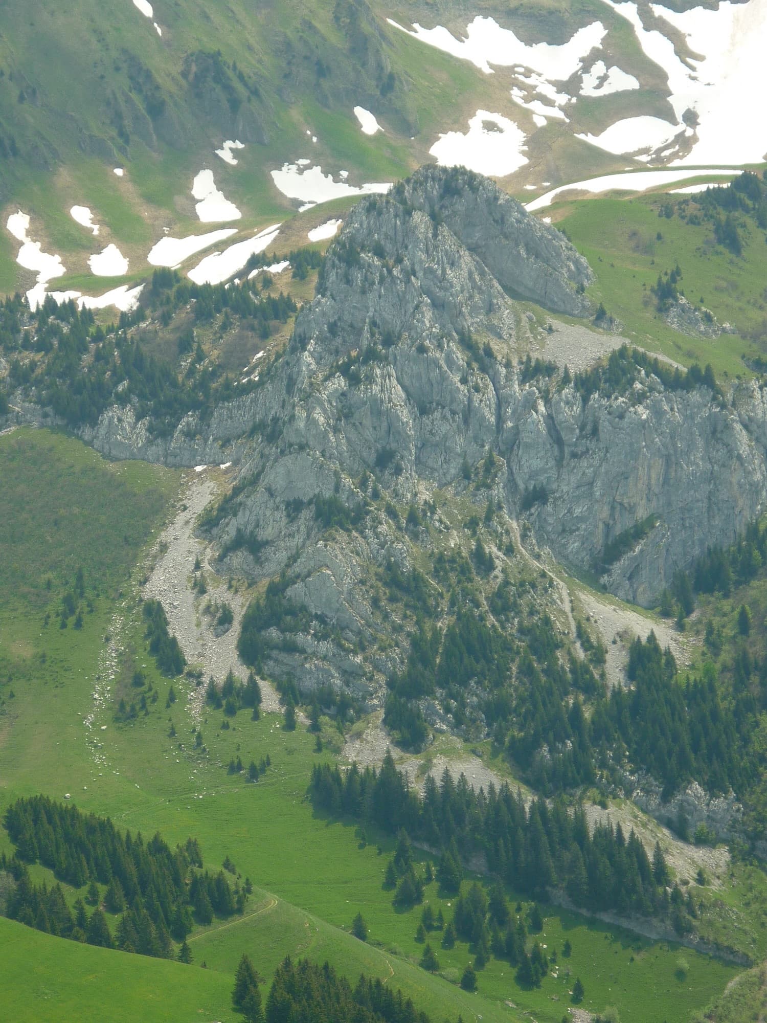
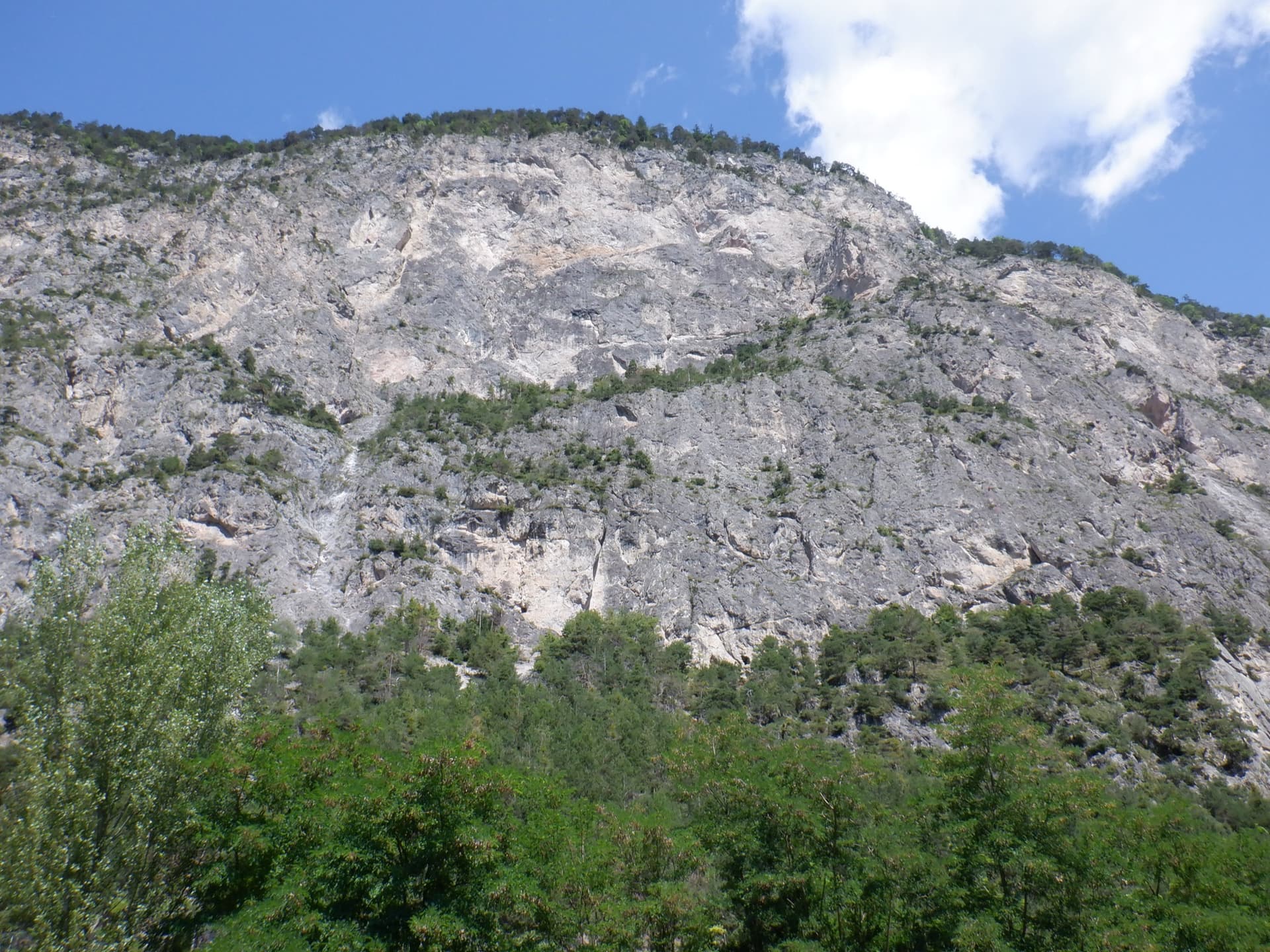
The Pointe de Sosay above the Cenise pastures; the Voie Rodrigue climbs the tiered face to the summit

France · Aravis

Voie Rodrigue

A varied summit route in a quiet pastoral corner above the Cenise plateau: a string of short, surprisingly compact walls separated by wooded ledges, each with a different crux. The hard moves are brief and athletic. North-west facing and cool in summer.

6b13 pitches250 m

Read the cautions

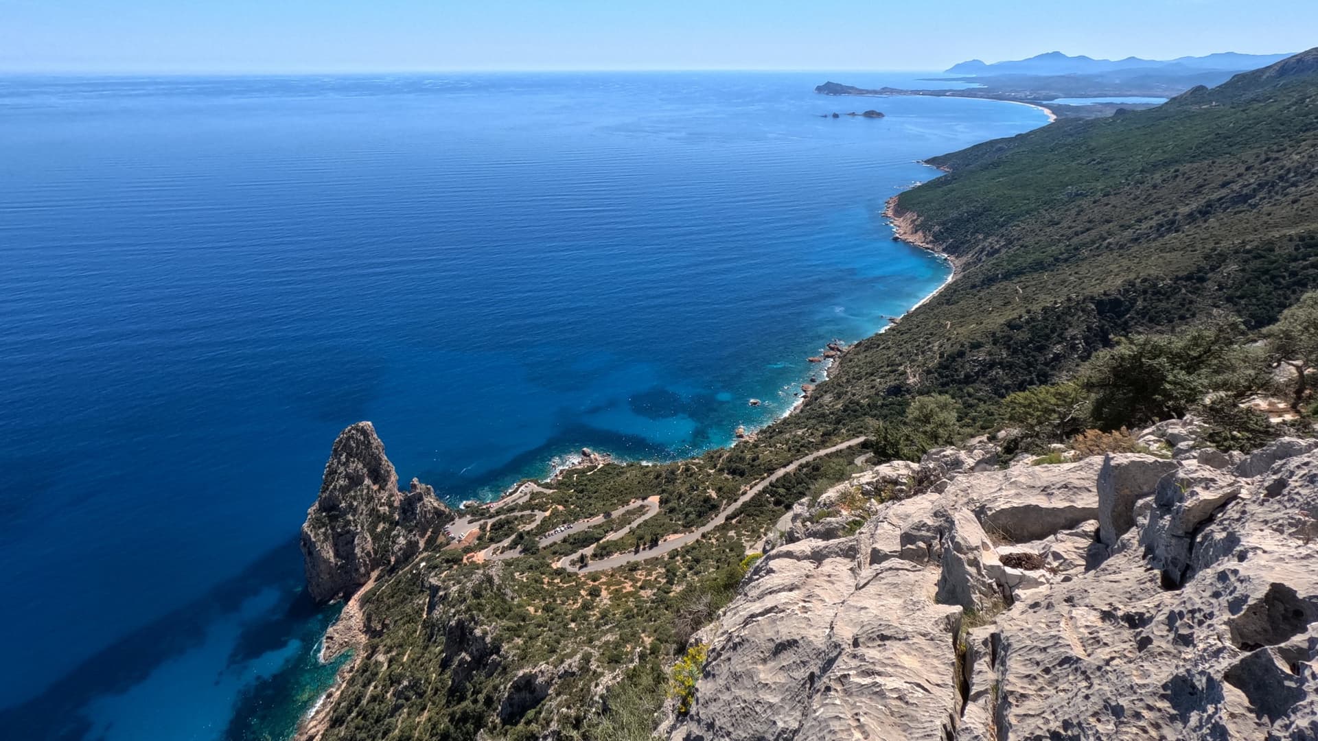
Looking down on the Pedra Longa stack and the coast from high on Atlantide

Italy · Sardinia

Atlantide

A 400 m plaisir route above Pedra Longa with the sea behind you all day. Eight easy, vegetated pitches lead to a steep finish: the last three or four pitches, up to 6b, are the real climbing. Closely bolted throughout; the long abseil descent through bushes needs care.

6b12 pitches400 m

The Geierwand above Haiming seen from the car park; Nebraska takes the left side of the wall from bottom to top

Austria · Inntal (Haiming Geierwand)

Nebraska

bergsteigen.com calls this the best route on the Geierwand: steep, almost always vertical pocket climbing on the left side of the wall. The hardest move comes on pitch 2, but the upper half stacks several 6b pitches one after another and tires the forearms. Recommended to climbers who are comfortable at 6b.

6b+13 pitches355 m

Compiled from published sources and last verified October 2026. Bolts, anchors and access change. Climbing is dangerous and you are responsible for your own decisions: check a current topo and read the disclaimer.