Multipitch Atlas

Atlantide

Punta su Mulone – Sa Costa 'e s'Aidu (Baunei) · Sardinia · Italy

Bail with caveatsBolting confidence: high

A 400 m plaisir route above Pedra Longa with the sea behind you all day. Eight easy, vegetated pitches lead to a steep finish: the last three or four pitches, up to 6b, are the real climbing. Closely bolted throughout; the long abseil descent through bushes needs care.

Looking down on the Pedra Longa stack and the coast from high on AtlantidePhoto: phill06 · CC BY-NC-ND 3.0

Photo

Looking down on the Pedra Longa stack and the coast from high on AtlantidePhoto: phill06 · CC BY-NC-ND 3.0
Hardest pitch
6b
Pitches
12
Length
400 m
Approach
20 min
Aspect
E
East-facing
Rope
2×60 m

The route

Overview

Atlantide climbs the long wall of Sa Costa 'e s'Aidu on Punta su Mulone, the hillside directly above Pedra Longa at the start of the Selvaggio Blu trek. Maurizio Oviglia and Fabio Erriu opened it over six days in May and June 2018 as an accessible long route with sport bolting. The first four pitches are little more than an approach on steps and slabs, pitches 5 to 9 are pleasant 5a to 5c+, and the wall then rears up for three steep pitches on better rock. Opinions on the lower part vary, but everyone agrees on the position, the bolting and the quality of the finish. It is one of the easiest long routes on the Baunei coast.

The climbing

Pitch by pitch

Pitches of Atlantide
PitchGradeLengthBoltsNotes
P15a45 m13 boltsA small corner, a nice wall of good rock, then easy steps to the belay.
P24c25 m6 boltsEasy steps and short walls with a slightly harder last move.
P35b50 m13 boltsCross the ledge carefully if there are parties below, then a fine long slab with one steeper passage.
P45a35 m9 boltsEasy steps, then cracks and a slight traverse right.
P55c+30 m9 boltsThe wall steepens: featured rock, a small corner climbed by bridging and a slab of good rock.
P65c+45 m11 boltsLeft onto a slab with a hard move at the start, a ledge, then a series of walls.
P75a30 m8 boltsDiagonally right on good rock. The belay is optional.
P85c+20 m7 boltsStraight up a vertical wall, then a tricky short traverse right to the belay. Perched blocks sit just above the traverse and beside the belay. Gulliver.it gives 6a.
P95c+40 m12 boltsRight, then a fine grey wall beside a corner to a belay on a ledge. Gulliver.it gives 6a.
P106a+25 m10 boltsRight, up through a juniper and onto a properly vertical wall, with a short section of poor rock before the belay. Holds have broken here; two parties thought it nearer 6b.
P116b25 m10 boltsThe crux and the best pitch: right into a corner, then a second, very good corner, and out onto the slab on the left, using the branches of a tree if you like. Gulliver.it gives 6a+.
P126a30 m10 boltsA long, lovely slab of water-pocketed rock to the top.

Getting there

Approach

To the parking

From Baunei take the SS125 towards Santa Maria Navarrese and turn left at the sign for Pedra Longa. Park at a hairpin bend above Pedra Longa where the Selvaggio Blu path starts (a permitted spot with a distinctive tree in the middle of the road), or at the large car park by the bar-restaurant at the bottom and walk back up the road.

On foot · about 20 min

15 to 20 minutes. Follow the Selvaggio Blu path uphill below the wall. After 5 minutes the path levels and then starts to descend: do not go down, but take a path south that starts at a large holm oak (the junction is not obvious). It zigzags towards the left side of the wall. When it almost touches the rock, leave it at a bend and reach the start in 10 m. The name is painted at the base but is faint.

Map of the walk-in

  • Crag
  • Parking

Loading map

The point marks the crag, not the exact start of the route.

Coordinates · crag

40.03151, 9.70116

Parking

40.02752, 9.70582

Large car park by the bar-restaurant at Pedra Longa (camptocamp access waypoint 568741); the hairpin where the Selvaggio Blu path starts is a little higher up the road

Point from camptocamp waypoint 1053859 (Punta su Mulone)

For your phone or watch

Download GPX

Contains the route point and parking. Opens in most mapping apps and GPS watches.

Points are compiled from published sources, with the precision stated above. They were not surveyed on the ground: check them against a current topo.

Getting down

Descent

By abseil down the route, about 1 h 30 min. The line is vegetated and the ropes snag easily: several parties recommend making every abseil rather than skipping belays, except the last one from belay 2 to the ground (60 m), and keeping the ropes clipped to your harness as you go down. A walk-off exists but is long and awkward: along the crests of Punta su Mulone and Cuccuru Mannu for about 1 h 30 min to a dirt road, then 30 min more to Baunei, with the car still at Pedra Longa.

Retreat

Bailing off the route

Bail with caveats

Abseiling the route is the normal descent and nearly every belay is chained, so you can turn round anywhere: a party in April 2025 chose the route for that reason and went down after eight pitches. The caveat is the vegetation, which has jammed ropes for several parties.

Retreat from
Any belay. Make each abseil belay to belay rather than skipping stations.
Point of no return
None. From the top the abseil is still the practical way down, since the walk-off ends in Baunei far from the car.
Carry
Two ropes are simplest; with a single 60 m rope you must use every station, which one party did as far as belay 6. Keep the ropes on your harness in the bushes.
Basis
Stated in the sourcesCamptocamp states abseil descent and chained belays; gulliver.it trip reports describe a retreat from pitch 8 and the rope jams.

Safety

Hazards

  • Perched blocks at belay 8: reported in 2018, 2023 and again in October 2025, when two blocks a metre below the belay were judged at risk of falling. Take care arriving and when abseiling past.
  • The rock is still brittle in places, especially on pitch 10, where a party broke three or four holds in December 2024.
  • Stones roll off the ledges between pitches onto parties below; goats use the ledges too.
  • The abseils are long, numerous and through bushes. Ropes have jammed for several parties and wind makes it worse.
  • It is a long day: parties quote about 6 hours including the descent. Carry a head torch.
  • Easy to stray off line on the uncleaned ground beside the bolts on the lower pitches.

Sun and weather

Conditions

Faces the sea between about 100 and 450 m, sheltered from the mistral. Gulliver.it advises not starting before 13:00 in summer and allowing at least 1 h 30 min for the abseils. Reports run from April to early December, including a cloudy October day and a windy first of December. Some seepage was noted on pitches 9 and 11 in October 2018. Mobile coverage is good.

Usual season · Mar to Jun, Sep to Nov

Sun on the wall · E-facing

Working out the sunlit hours for this month.

  • January: not yet worked out
  • February: not yet worked out
  • March (usual season): not yet worked out
  • April (usual season): not yet worked out
  • May (usual season): not yet worked out
  • June (usual season): not yet worked out
  • July: not yet worked out
  • August: not yet worked out
  • September (usual season): not yet worked out
  • October (usual season): not yet worked out
  • November (usual season): not yet worked out
  • December: not yet worked out

Sun on the wallDaylight, wall in shade● Usual season

Estimated from the wall's aspect only. Ignores surrounding terrain, gullies and the wall's exact shape. Clock times are local to the wall (Central European time), for the 15th of each month.

Monthly climate averages for Sardinia, 1991-2020
MeasureJanFebMar (usual season)Apr (usual season)May (usual season)Jun (usual season)JulAugSep (usual season)Oct (usual season)Nov (usual season)Dec
Mean daily high °C141417202530343428241815
Mean daily low °C77911151922221916129
Rain days 1 mm or more9910118433771010

● marks the usual climbing season. Averages for 1991-2020 at about 100 m. Area climate from Open-Meteo reanalysis. Temperatures are adjusted to the height of the crag; rain comes from a grid cell of about 10 to 25 km, and summer highs on sea cliffs can read a few degrees low. The wall and valley can differ. Data: Open-Meteo, CC BY 4.0.

What to carry

Gear

15 quickdraws if you do not skip belays (camptocamp says 14). Two 60 m ropes (gulliver.it); camptocamp lists 50 m abseil ropes, and one fast party went down on a single 60 m half rope as far as belay 6. Helmet, head torch, water.

Checklist

Quickdraws
15
Rope
2×60 m
Helmet
One each
Abseil device and prusik
The descent or the retreat involves abseiling

Derived from the route data; check it against a current topo

From climbers

Reader reports

Reader reports are not being collected yet. Until they are, check a current topo and the local club or guidebook publisher for recent changes to Atlantide.

Worth knowing

Tips

  • The first four pitches can be climbed quickly, even in approach shoes or moving together if you are well within the grade.
  • The start is not easy to spot; one party began from a ledge 10 m up after missing it.
  • Because every belay is equipped, the route suits a party that may need to turn round.

Open questions

Where sources disagree

  • Grades: camptocamp, which says it follows Oviglia's topo, gives 5c+, 5c+, 6a+, 6b, 6a for pitches 8 to 12 and 6b overall. Gulliver.it gives 6a, 6a, 6a+, 6a+, 6a and 6a+ overall. A November 2024 repeater thought pitches 10 and 11 were both about 6b. The camptocamp grades are used.
  • Aspect: east on camptocamp, south on gulliver.it.
  • Ropes: 50 m abseil ropes on camptocamp, two 60 m ropes on gulliver.it. The last abseil from belay 2 is quoted as 60 m.
  • Camptocamp spells the route Atlandide in its title.

Provenance

Sources

Same area

More in Sardinia

All routes in Sardinia
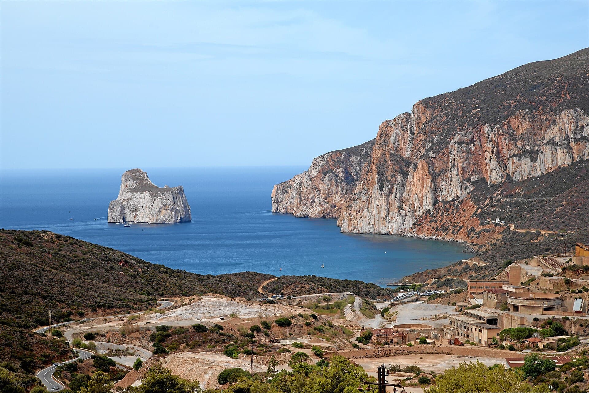
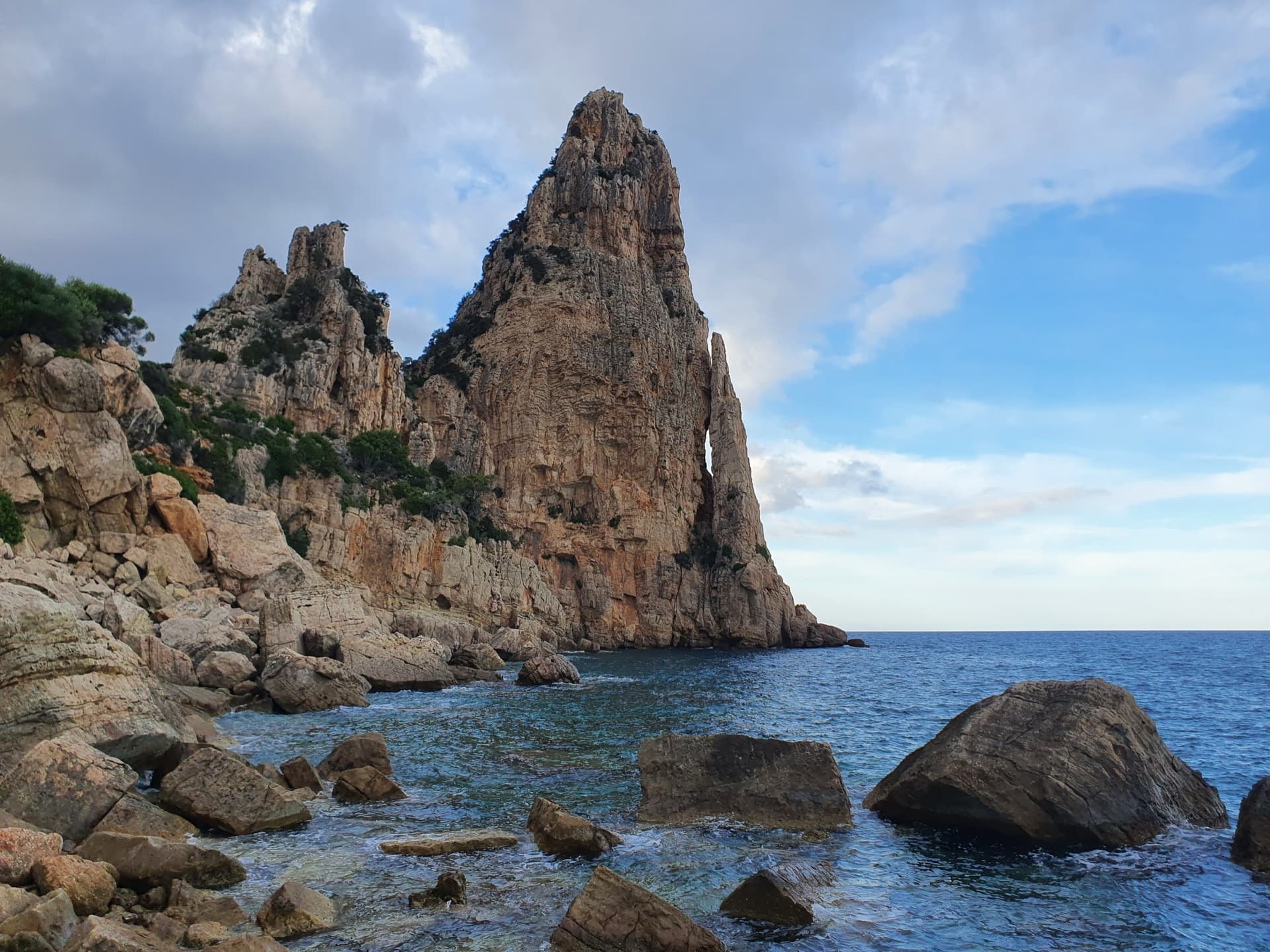
Pedra Longa, the 128 m limestone tower on the Baunei coast, seen from the shoreline rocks at its foot.

Italy · Sardinia

Marinaio di Foresta

An airy, mostly left-rising traverse that spirals round the Pedra Longa sea stack to its summit, on water-runnelled grey walls and pocketed white rock right above the sea. It has become one of the most popular routes in Sardinia, so expect queues.

6a+7 pitches190 m

Committing
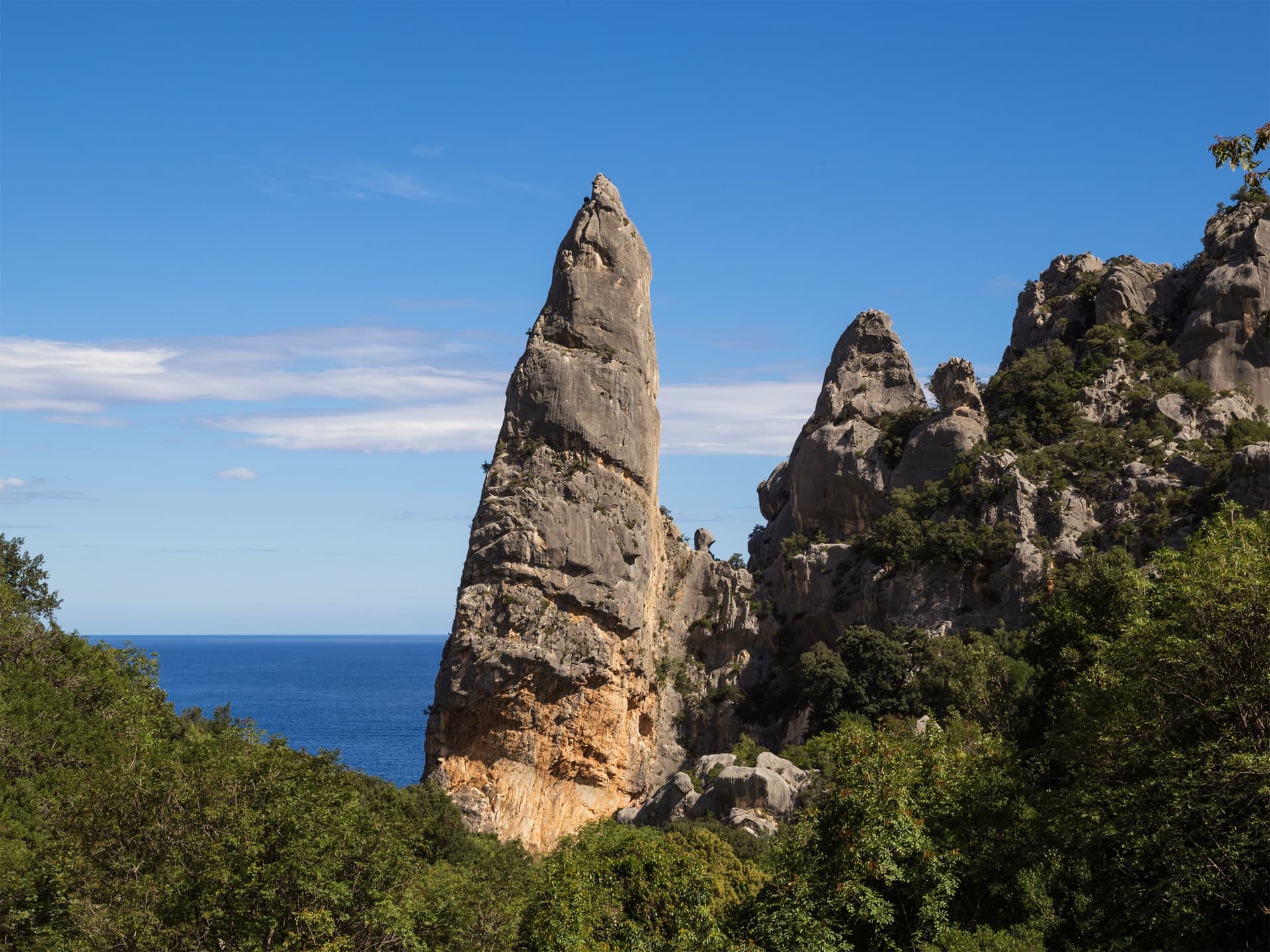
The Aguglia di Goloritzè, the 140 m limestone spire above Cala Goloritzè, seen from the approach path with the Gulf of Orosei behind.

Italy · Sardinia

Easy Gymnopédie

This is the easiest way to the top of Sardinia's iconic 140 m pinnacle above Cala Goloritzè. Short technical bulges and walls lead to a fine slab finish, and the harder overhangs can be aided. Gulliver splits it into 4 pitches; camptocamp gives 5. Check seasonal access rules for Cala Goloritzè before going.

6b5 pitches150 m

Read the cautions

The orange limestone cliffs of Masua (right) above the old mine workings, with the Pan di Zucchero sea stack offshore.

Italy · Sardinia

L'Italia Liberata

A short but superb sea-cliff route on beautifully sculpted limestone in an incredible setting near Pan di Zucchero. Corners and an airy pillar lead to a steep, rounded 6a wall. Camptocamp rates it 'great'.

6a4 pitches120 m

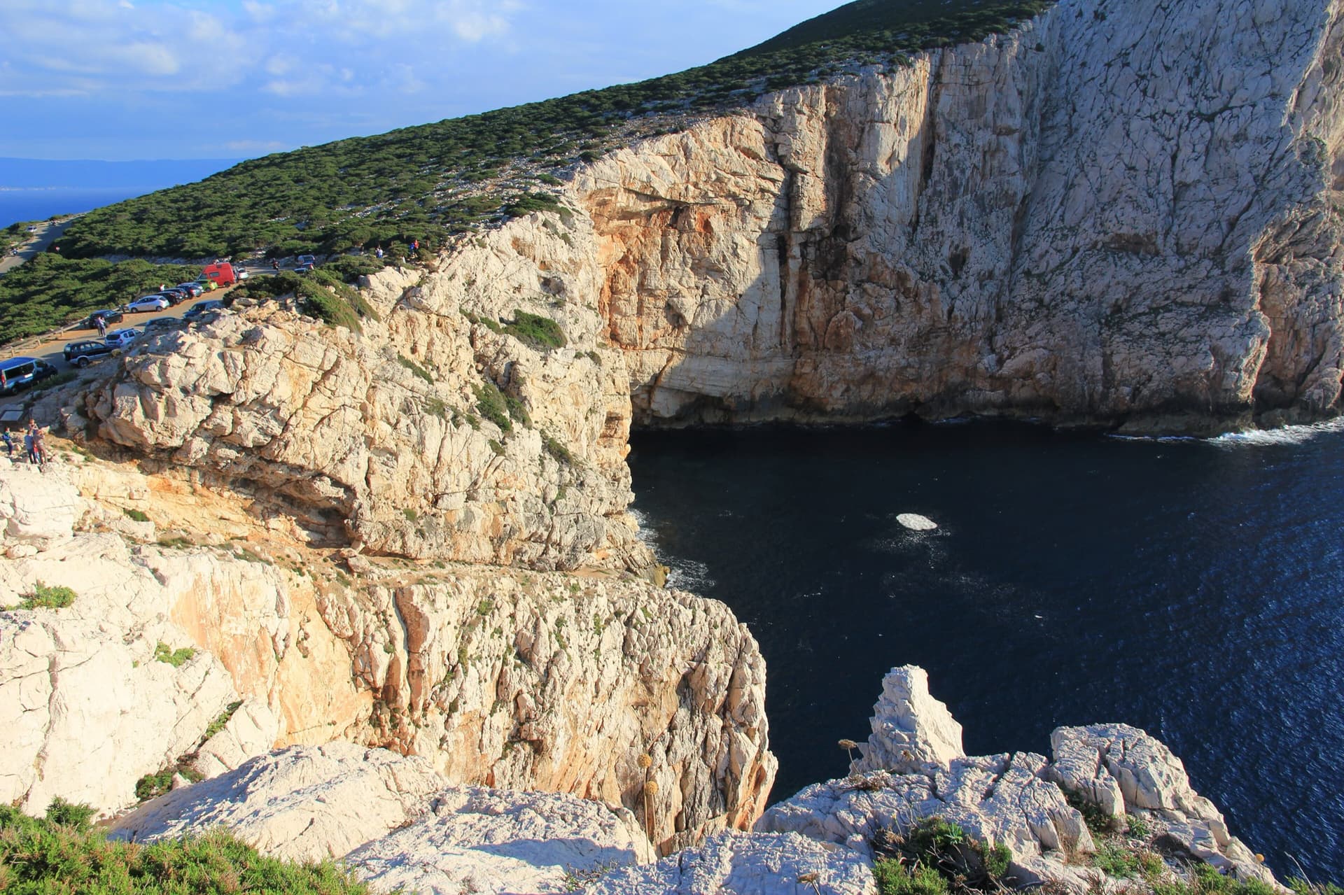
The limestone sea cliffs of Capo Caccia below the Foradada viewpoint car park, dropping straight into the sea.

Italy · Sardinia

Powaqqatsi

The easiest line on the Capo Caccia sea cliff: six pitches of 4b to 4c on pocketed, sharply sculpted limestone above the open sea. You abseil in from the top and climb out. The first two pitches are vegetated; the climbing proper starts on the pitch 3 slab.

4c6 pitches145 m

Read the cautionsCommitting

Around 6b · about 12 pitches

Similar elsewhere

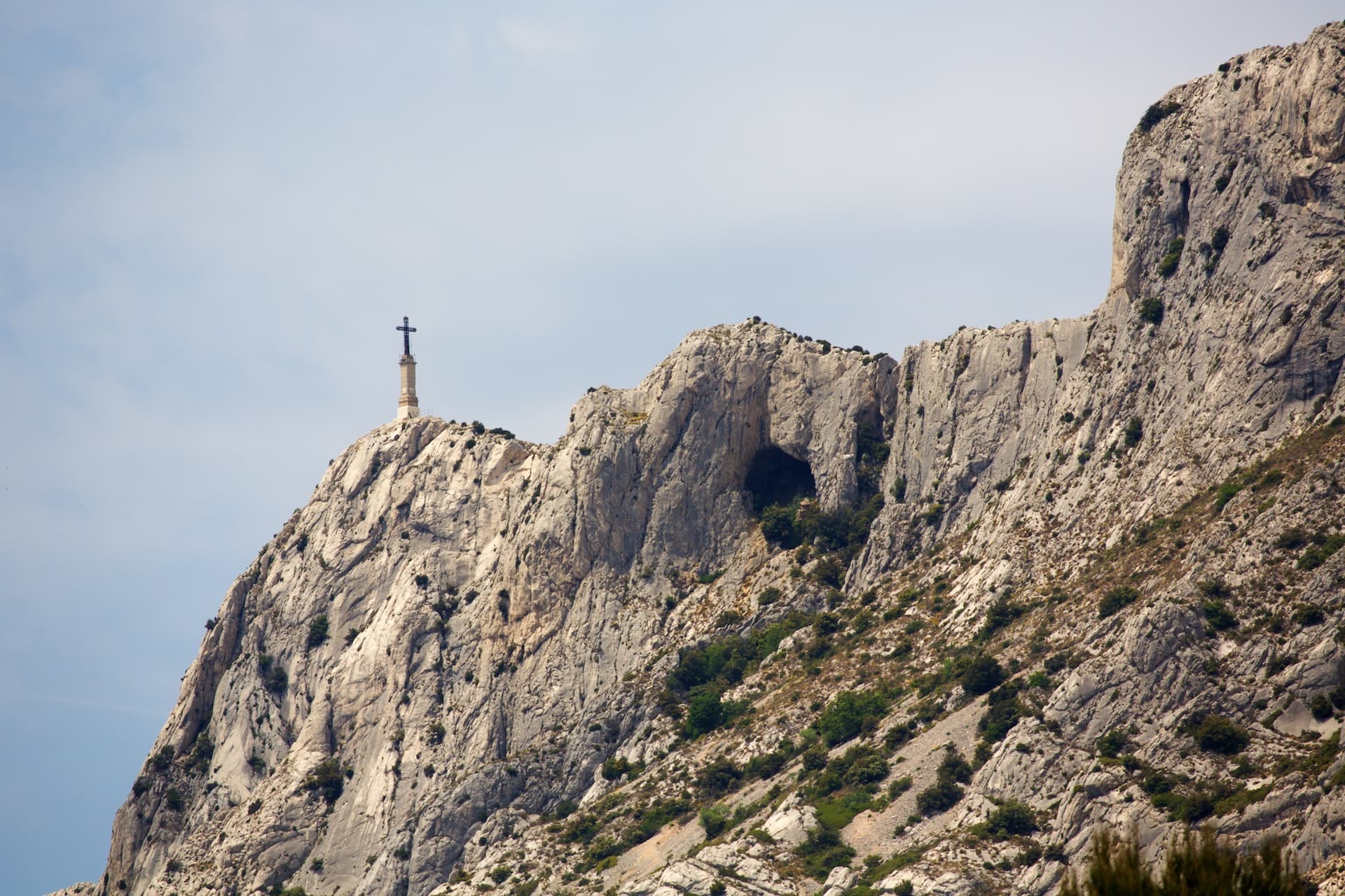
The Croix de Provence and the upper cliffs of Sainte-Victoire; La Commande finishes at the priory near the cross

France · Sainte-Victoire

La Commande

The long bolted route of Sainte-Victoire: 400 m from the foot of the mountain to the priory beside the Croix de Provence, in thirteen pitches up to 6b. Conglomerate walls low down, superb grey slabs higher up, and short walks between the tiers. Sustained around 6a, with a hard traverse on the second pitch.

6b13 pitches400 m

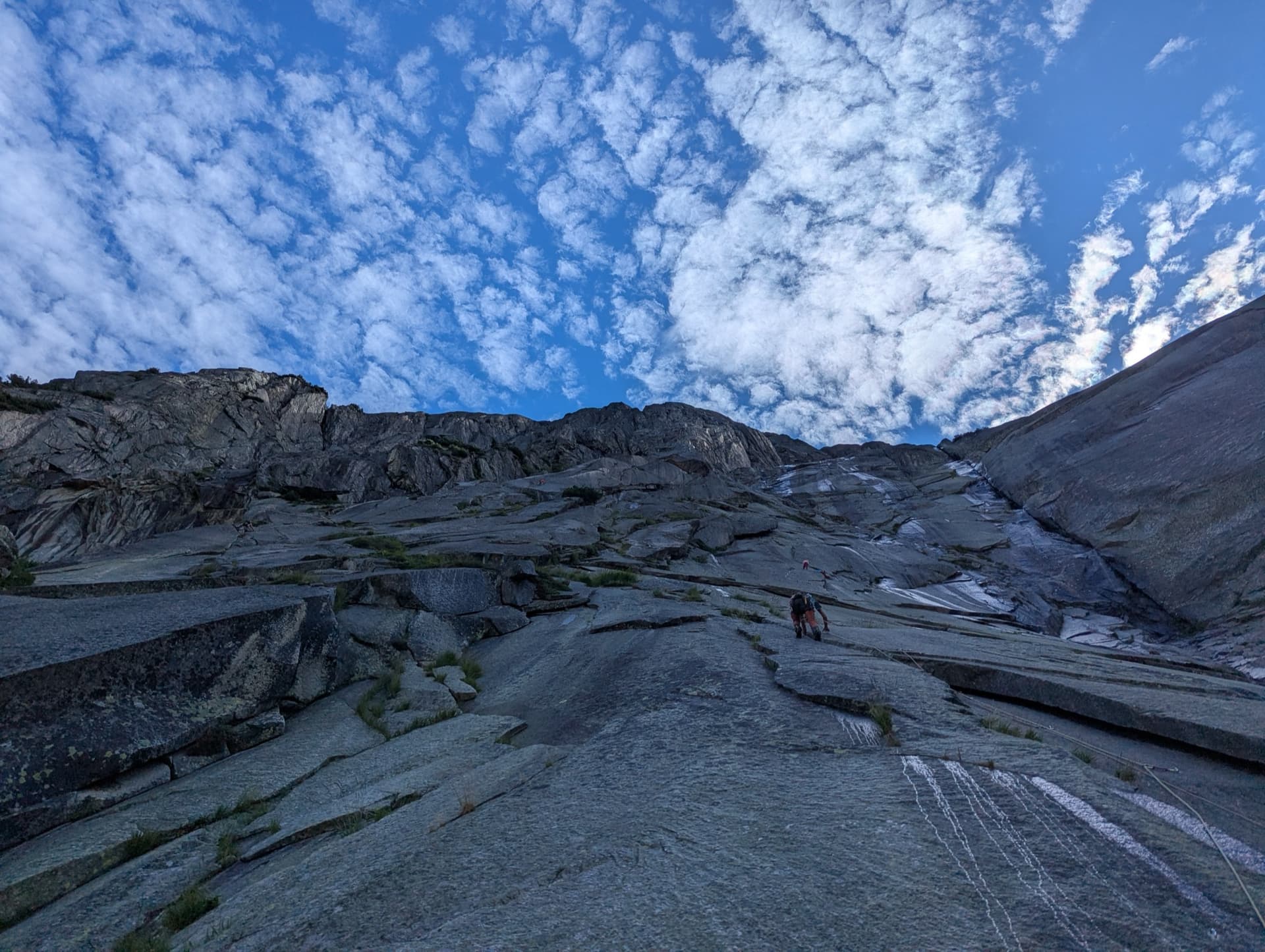
The granite slabs of the Gelmerfluh under a mackerel sky, photographed from pitch 3 of Savoir Vivre.

Switzerland · Grimsel

Sagittarius

A Grimsel granite classic: low-angle slabs lead to the famous 6a+ crack pitches and a thin 6b traverse, then steeper, sculpted ground. Sustained at 5c/6a throughout.

6b13 pitches400 m

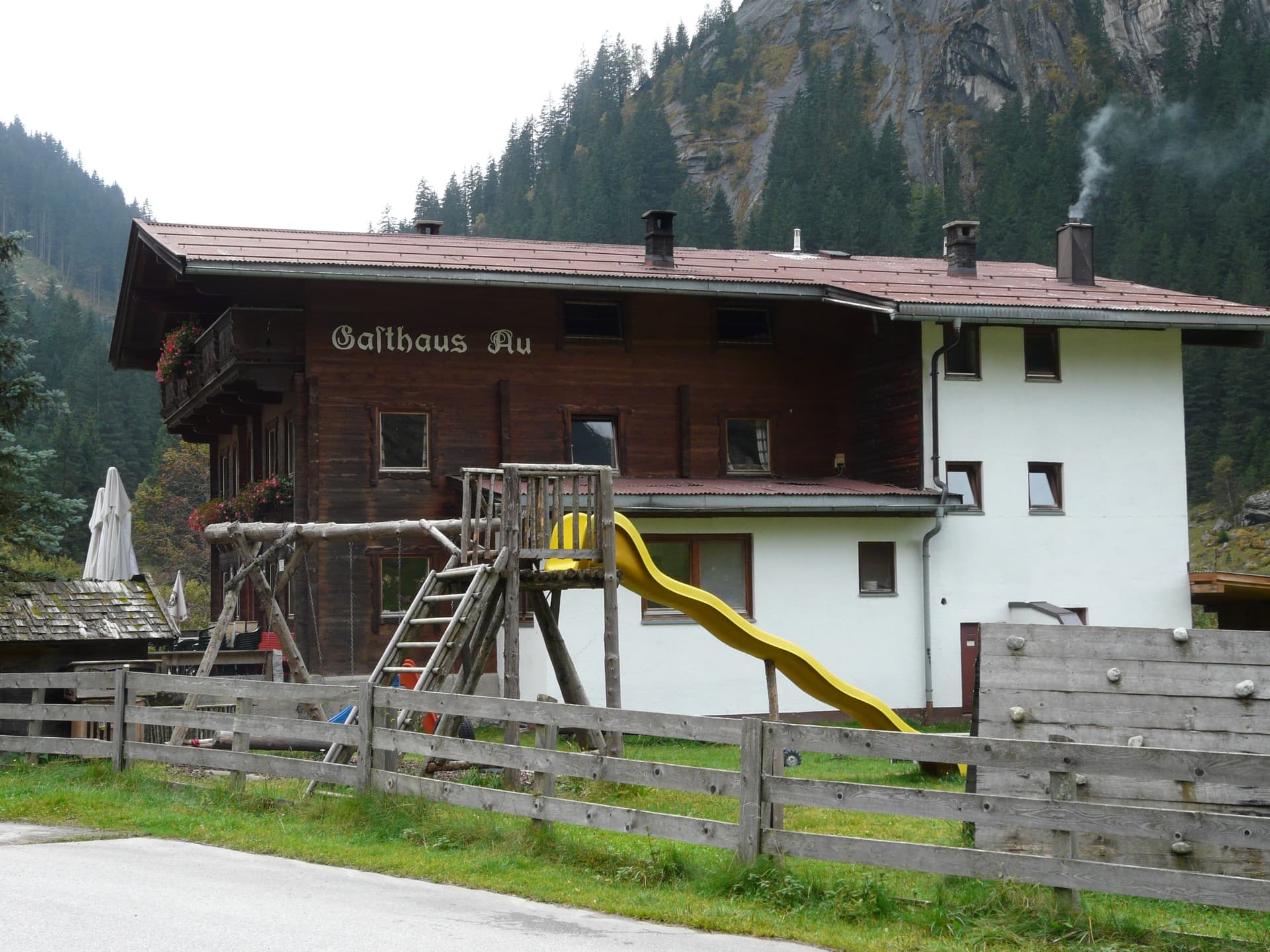
Gasthaus Au in the Zillergrund, where the approach starts; granite walls rise directly above the inn

Austria · Zillertal

Supersommer

Eleven pitches that cover everything a granite climber needs, in a mild and well prepared form: slabs, steps, arêtes, corners (one of them awkward), small overhangs and a fist crack. Two pitches of 7-, much of the rest around 6 and 6+. Views of the glaciated 3000 m peaks.

6b11 pitches265 m

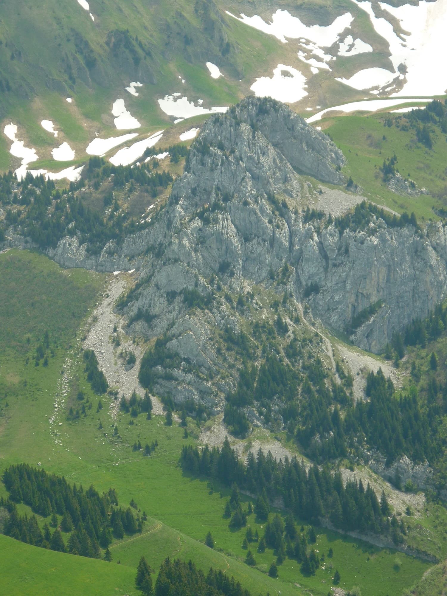
The Pointe de Sosay above the Cenise pastures; the Voie Rodrigue climbs the tiered face to the summit

France · Aravis

Voie Rodrigue

A varied summit route in a quiet pastoral corner above the Cenise plateau: a string of short, surprisingly compact walls separated by wooded ledges, each with a different crux. The hard moves are brief and athletic. North-west facing and cool in summer.

6b13 pitches250 m

Read the cautions

Compiled from published sources and last verified October 2026. Bolts, anchors and access change. Climbing is dangerous and you are responsible for your own decisions: check a current topo and read the disclaimer.