Multipitch Atlas

Widi Azry

Taoujdad – north face · Taghia · Morocco

Read the cautionsBail with caveatsBolting confidence: high

Twelve long, sustained pitches up the shady north face of the Taoujdad: technical slabs and walls demanding precise footwork, with a few athletic overhangs. Sources agree it is hard for the grade, with 6c obligatory and several pitches of 6c+ to 7a. The most approachable line on this face, but still a big day.

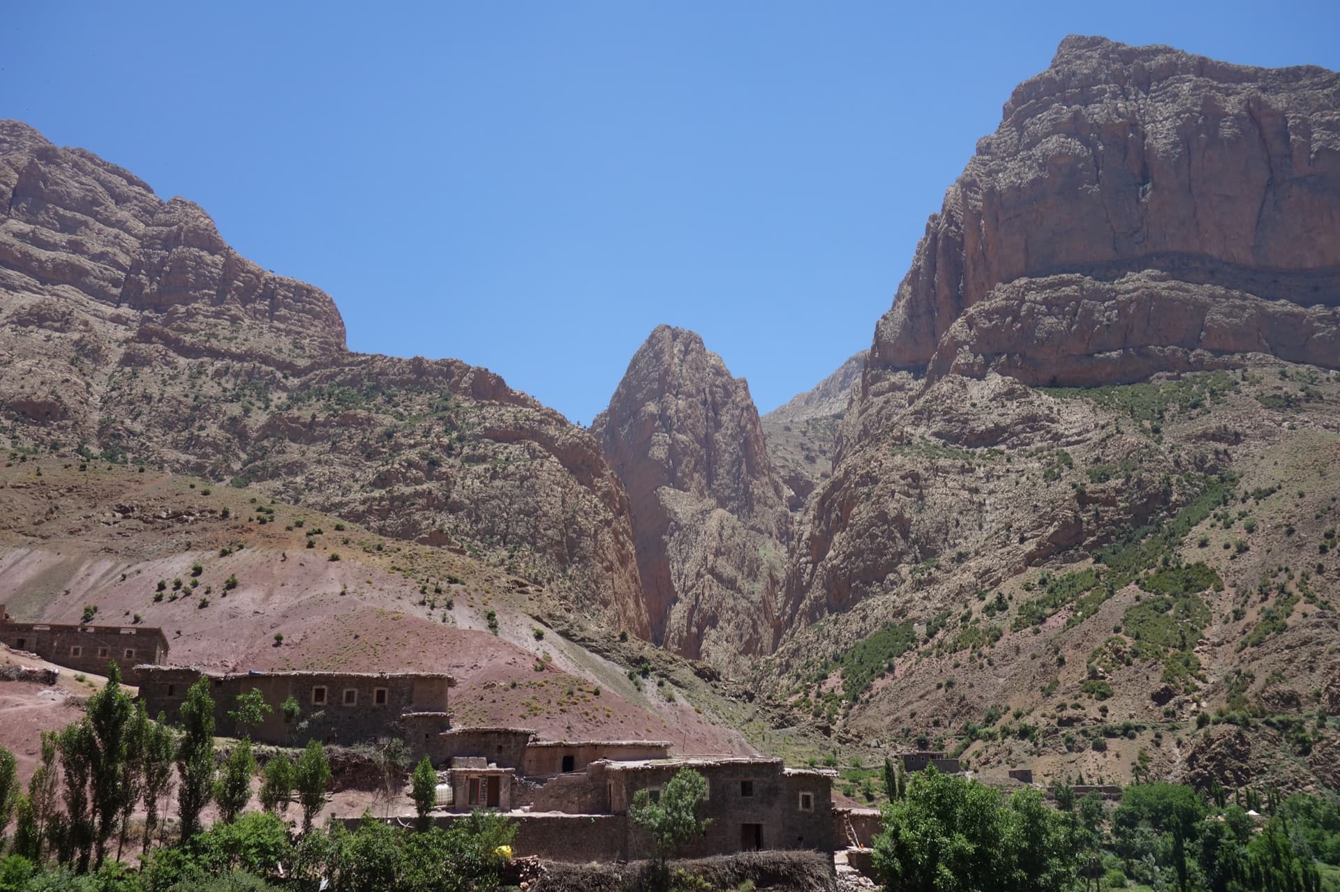
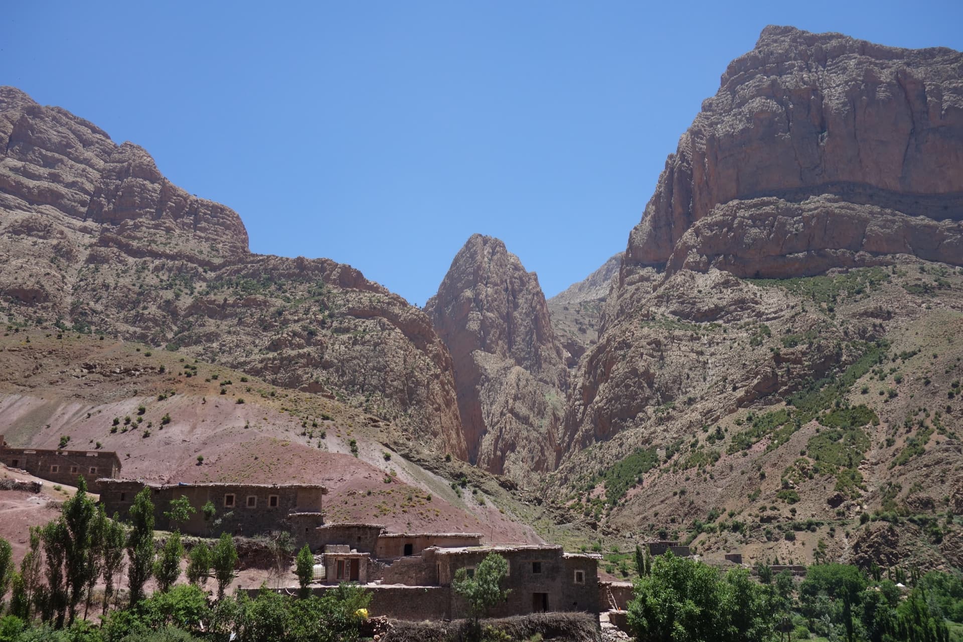
Looking up the north face of the Taoujdad from the canyonPhoto: VINCENT · CC BY-NC-ND 3.0

Photo

Looking up the north face of the Taoujdad from the canyonPhoto: VINCENT · CC BY-NC-ND 3.0
Hardest pitch
7a
Pitches
12
Length
500 m
Approach
90 min
Aspect
N
North-facing
Rope
Not stated by the sources
Read before you go

Well bolted with equipped belays, but a 500 m ED at the top of the grade range, with stiff grades, spaced bolts on the easier upper pitches and an awkward retreat.

The route

Overview

Widi Azry takes the north face of the Taoujdad from the canyon that separates it from the Timrazine, right of Les Rivières Pourpres. It gives about 500 m of climbing in pitches of 35 to 45 m with almost no easy ground: the 6a+ first pitch sets the tone. Every party stresses that the grades are severe, and that you should be solid at 6c+ to 7a to enjoy it. It sits at the very top of this atlas's range and is a serious undertaking, graded ED overall. The reward is superb rock and a wild position in permanent shade.

The climbing

Pitch by pitch

Pitches of Widi Azry
PitchGradeLengthNotes
P16a+45 mSlab, then a superb technical grey corner. Stiff for the grade.
P26c40 mA sustained overhanging pitch on tufas, undercuts and positive holds.
P36c+45 mA very physical roof on big holds, then a vertical wall on tiny holds with a short crux near the belay. A 2024 party gave 7a.
P46c40 mVaried vertical climbing, alternating technical moves and small rests.
P56b40 mVaried vertical climbing with one hard slab move. A 2024 party gave 6b+.
P66c40 mA slab on small holds trending slightly left, with a very fingery crux below the belay. A 2024 party gave 7a.
P77a45 mVertical wall on small holds: the hardest pitch. Camptocamp gives 6c+/7a; a 2024 party gave 7a/7a+.
P86c35 mAn overhang and a positive crack.
P95+45 mStraight up for a few metres, then a long traverse left. A pack cannot be hauled on this pitch.
P106c40 mA slab move, then an overhang on sharp, rough rock. The rock needs some care.
P116b45 mVaried climbing; the rock needs some care and the bolts are further apart.
P126a30 mAn easier last pitch.

Getting there

Approach

To the parking

From Marrakech go via Azilal to Zaouiat Ahansal: about 250 km and 5 to 6 hours, on tarmac throughout. From Zaouiat you walk up to Taghia or, since 2023, the gîtes can drive you up a track by 4x4. The gîtes in Taghia (Saïd's and Mohamed Amil's are the ones named in reports) offer half board and can arrange the taxi from Marrakech.

On foot · about 90 min

About 1.5 hours; parties who knew the way took 40 minutes and one that got lost took 2.5 hours. Go past the springs and follow the canyon between the Timrazine and the Taoujdad: easy but sometimes exposed scrambling (grade III steps with a few bolts), past the first jammed block and the Berber bridge to the second jammed block and its waterfall. Pass it on the true right by the 6a first pitch of Canyon Apache, which ends at a single bolt, and make a short abseil of about 4 m back into the bed; an Italian party preferred to squeeze through the hole right of the waterfall. Continue about 100 m up the canyon and climb about 10 m onto a grassy slope with trees on the true left. Do not go up the steps as for Les Rivières Pourpres. The route is on the right of this slope and starts up an obvious grey corner, opposite the Pikort corner on the other side of the canyon; the small overhang of pitch 3 helps to locate it.

Map of the walk-in

  • Crag

Loading map

The point marks the crag, not the exact start of the route.

Coordinates · crag

31.78014, -6.06288

Point from camptocamp waypoint 43127 (Taoujdad summit)

For your phone or watch

Download GPX

Contains the route point. Opens in most mapping apps and GPS watches.

Points are compiled from published sources, with the precision stated above. They were not surveyed on the ground: check them against a current topo.

Getting down

Descent

By the normal route of the Taoujdad, about 1.5 hours to the village. The route does not finish on the summit (two more pitches of about grade 4 lead there if you want it); a 2023 party notes that from the top of the route you reach the col directly and do not need the abseil of the summit descent. The way down then follows the gully between the Taoujdad and the Oujdad. Abseiling the route is possible, since the belays are equipped, but the pitch 9 traverse would make it difficult.

Retreat

Bailing off the route

Bail with caveats

The belays are equipped and a 2023 party says all are well set up for abseiling, so you can retreat down the route. The route page warns that the long traverse of pitch 9 would complicate abseiling from above it, and any retreat ends with reversing the canyon.

Retreat from
Any belay up to the top of pitch 8.
Point of no return
The pitch 9 traverse: above it, finishing the last three pitches is the simpler option.
Carry
Two ropes long enough for 45 m pitches (lengths not stated by the sources).
Basis
Stated in the sourcesEquipped belays and the pitch 9 caveat are stated on the route page and in a 2023 outing; no report describes an actual retreat.

Safety

Hazards

  • A long, sustained route with a 6c obligatory grade: a slow party will finish late, and one 2023 party returned at 20:30.
  • The approach canyon is no place to be in heavy rain, and the gully used on the way down is dangerous in a storm.
  • Bolts are further apart on the easier pitches near the top, where the rock is also more fragile (pitches 10 and 11).
  • Retreat is complicated by the pitch 9 traverse.
  • Finding the start is not obvious; two parties lost time on the approach.
  • There is no mountain rescue service in Morocco.

Sun and weather

Conditions

North face, from about 2,000 m to about 2,600 m, in the shade all day: cold and often windy on the upper pitches in April, pleasant in early November when the sunny walls were too hot. Climbing times of 7 hours (fast party) to 9.5 hours are reported, with 9 to 14 hours gîte to gîte.

Usual season · Apr to Jun, Sep to Oct

Sun on the wall · N-facing

Working out the sunlit hours for this month.

  • January: not yet worked out
  • February: not yet worked out
  • March: not yet worked out
  • April (usual season): not yet worked out
  • May (usual season): not yet worked out
  • June (usual season): not yet worked out
  • July: not yet worked out
  • August: not yet worked out
  • September (usual season): not yet worked out
  • October (usual season): not yet worked out
  • November: not yet worked out
  • December: not yet worked out

Sun on the wallDaylight, wall in shade● Usual season

Estimated from the wall's aspect only. Ignores surrounding terrain, gullies and the wall's exact shape. Clock times are local to the wall (Moroccan time), for the 15th of each month.

Monthly climate averages for Taghia, 1991-2020
MeasureJanFebMarApr (usual season)May (usual season)Jun (usual season)JulAugSep (usual season)Oct (usual season)NovDec
Mean daily high °C8912161924282823181310
Mean daily low °C−4−3−0361014141061−2
Rain days 1 mm or more568101197109865

● marks the usual climbing season. Averages for 1991-2020 at about 1927 m. Area climate from Open-Meteo reanalysis. Temperatures are adjusted to the height of the crag; rain comes from a grid cell of about 10 to 25 km, and summer highs on sea cliffs can read a few degrees low. The wall and valley can differ. Data: Open-Meteo, CC BY 4.0.

What to carry

Gear

Quickdraws and normal multi-pitch kit; the sources give no number of quickdraws or rope length, and the pitches are up to 45 m. A pack can be hauled except on pitch 9. Warm clothes: parties climbed in thermals and fleeces in April. Helmet.

Checklist

Quickdraws
Number not given in the sources
Rope
Not stated by the sources
Helmet
One each
Abseil device and prusik
The descent or the retreat involves abseiling

Derived from the route data; check it against a current topo

From climbers

Reader reports

Reader reports are not being collected yet. Until they are, check a current topo and the local club or guidebook publisher for recent changes to Widi Azry.

Worth knowing

Tips

  • Scout the canyon approach the day before, or climb Canyon Apache or L'allumeur de rêves berbères first: the approach is the same as far as the second jammed block.
  • Chalk left by a party ahead helps on the technical slab cruxes.
  • Parties compare it with Les Rivières Pourpres: more delicate and footwork-dependent, and not obviously easier.

Open questions

Where sources disagree

  • Hardest pitch: camptocamp gives 6c+/7a for pitch 7 and 7a overall; a 2023 Italian party says 7a maximum with 6c+ obligatory; a 2024 party graded pitches 3 and 6 at 7a and pitch 7 at 7a/7a+. The record uses 7a.
  • Bolting: 'solid and very well placed' (2024) and 'well equipped' (2023) against 'fairly spaced' from another 2023 party. All agree the easier pitches are more run-out.
  • Approach time: 1.5 hours on the route page; 40 minutes, 1 h 15 and 2.5 hours in dated reports.
  • Overall grade: listed as ED after a 2024 party argued it deserves that rather than the original lower grade.

Provenance

Sources

Same area

More in Taghia

All routes in Taghia
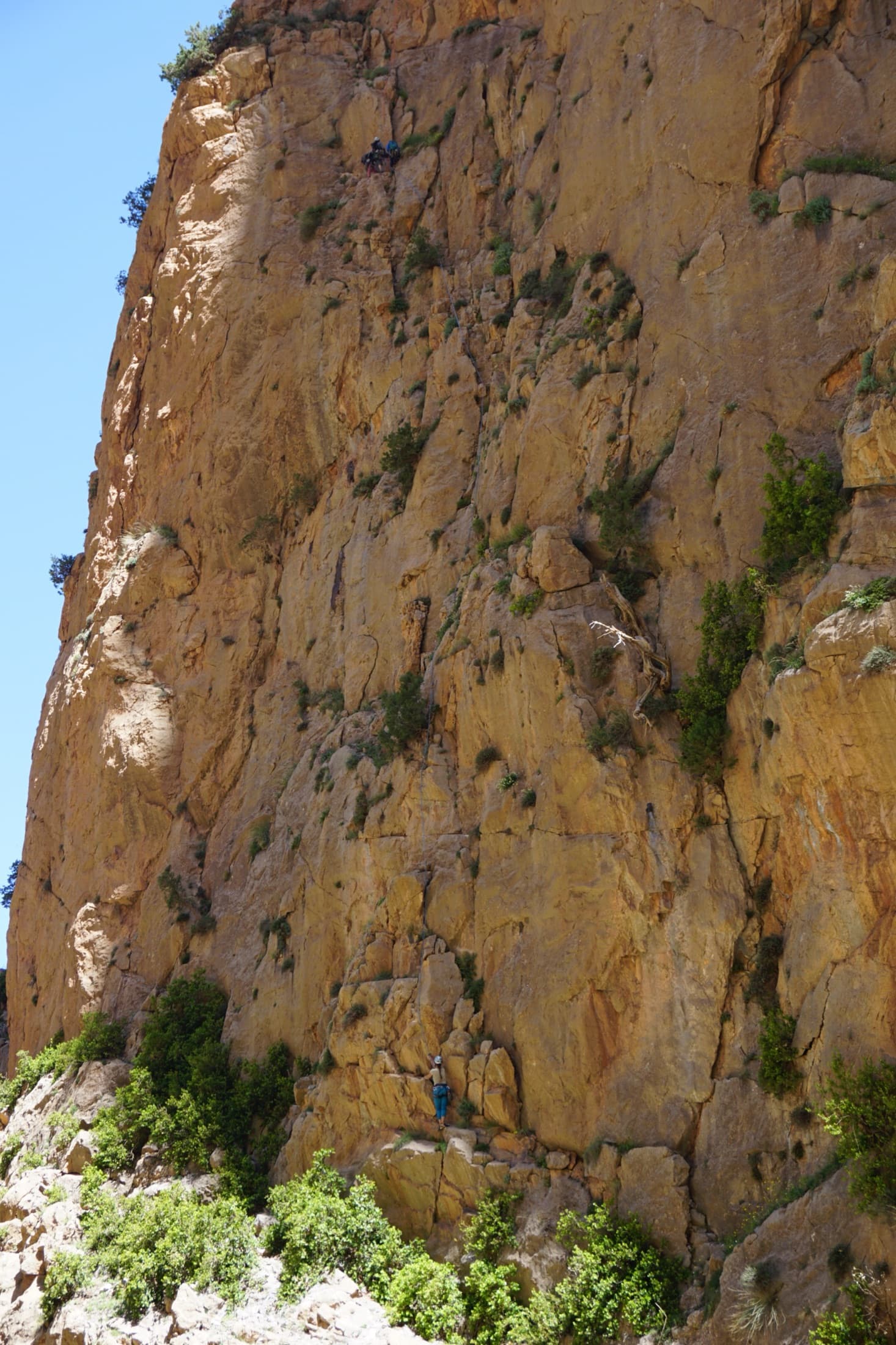
The orange limestone of the Paroi des Sources at Taghia, with climbers on its routes.

Morocco · Taghia

Les babouches de Mostafa

The friendly way into Taghia, starting at the water's edge beside the springs. Seven varied pitches, well bolted by Taghia standards. Go left around the unstable rock below the second belay; fragile blocks are marked in red. In shade until midday.

6b7 pitches270 m

Committing
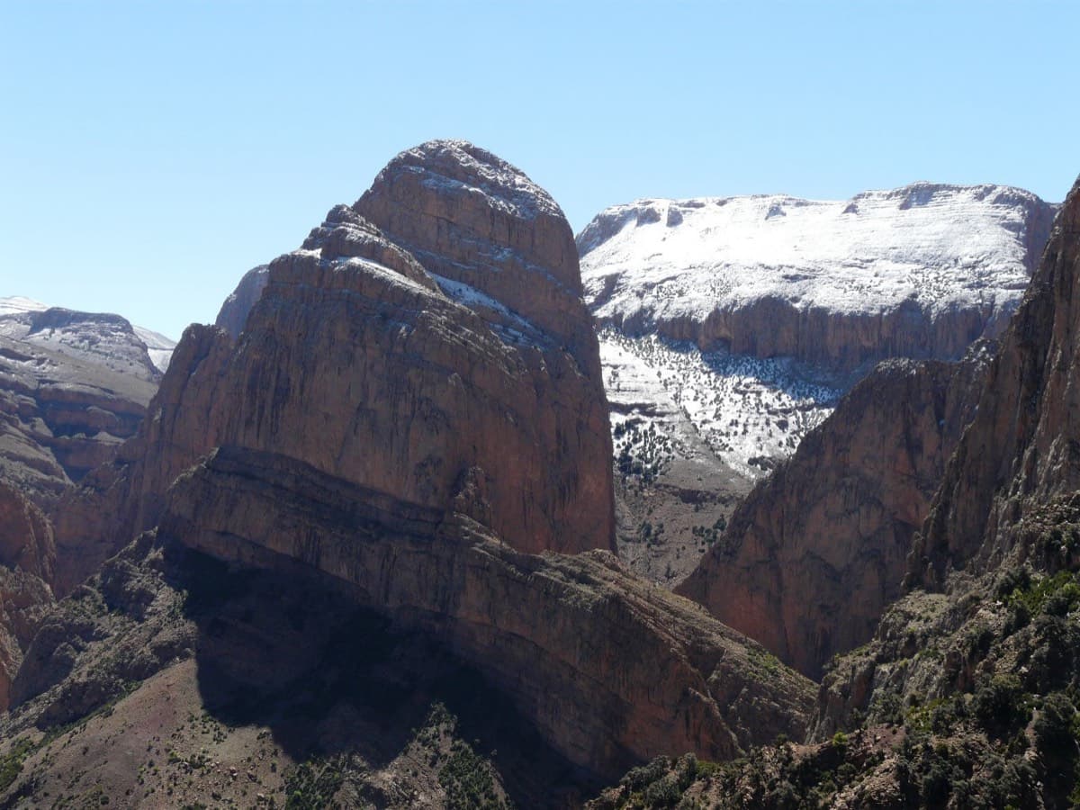
The Oujdad above Taghia

Morocco · Taghia

Ibtisane

The easiest bolted line at Taghia: three steep 5c walls linked by two long, easy garden pitches. Goes into shade around midday in April.

5c5 pitches235 m

Read the cautions

Taghia village beneath the pointed tower of the Taoujdad (centre), with the Oujdad massif at the right; the west face is the tower's right-hand flank, turned towards the Oujdad.

Morocco · Taghia

Au nom de la Réforme

The classic first route at Taghia: steep, water-sculpted red limestone on the west face of the Taoujdad, with a 6c third pitch that is 6b until a short crux below the belay. It is better bolted than most Taghia routes and correspondingly popular, so some pitches are polished.

6c7 pitches300 m

Taghia village beneath the pointed tower of the Taoujdad (centre), with the Oujdad massif at the right; the west face is the tower's right-hand flank, turned towards the Oujdad.

Morocco · Taghia

Champion du Maroc

Five pitches on new, very rough red rock just right of Au nom de la Réforme. The first three are steep, fingery and continuous with one short crux each; the last two are much easier. The original grades are 7a+, 7a and 6c+, now widely thought generous, and the cruxes are bolted closely enough to pull through.

6c+5 pitches200 m

Around 7a · about 12 pitches

Similar elsewhere

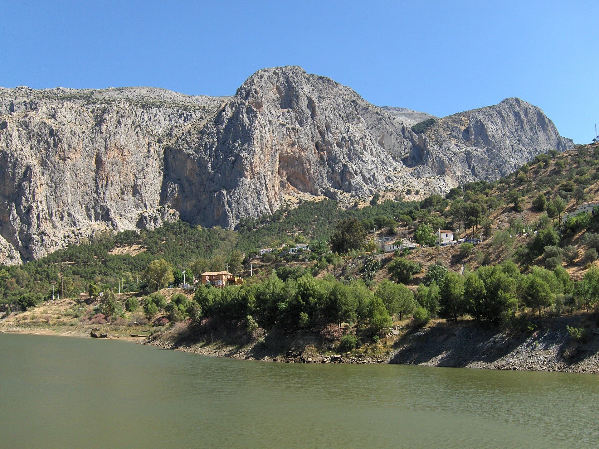
The Frontales cliffs above El Chorro seen across the Tajo de la Encantada reservoir, with the big Poema de Roca cave at the foot of the central dome. Mal de Ojo starts just right of the cave.

Spain · El Chorro

Mal de Ojo

A twelve-pitch line to the top of the Frontales face, starting right of the big Poema de Roca cave. The hard pitches are short, bouldery and athletic; the upper half turns to technical water-pocket climbing. One party found it less coherent than its neighbours but worth it for the summit.

7a12 pitches300 m

Read the cautions

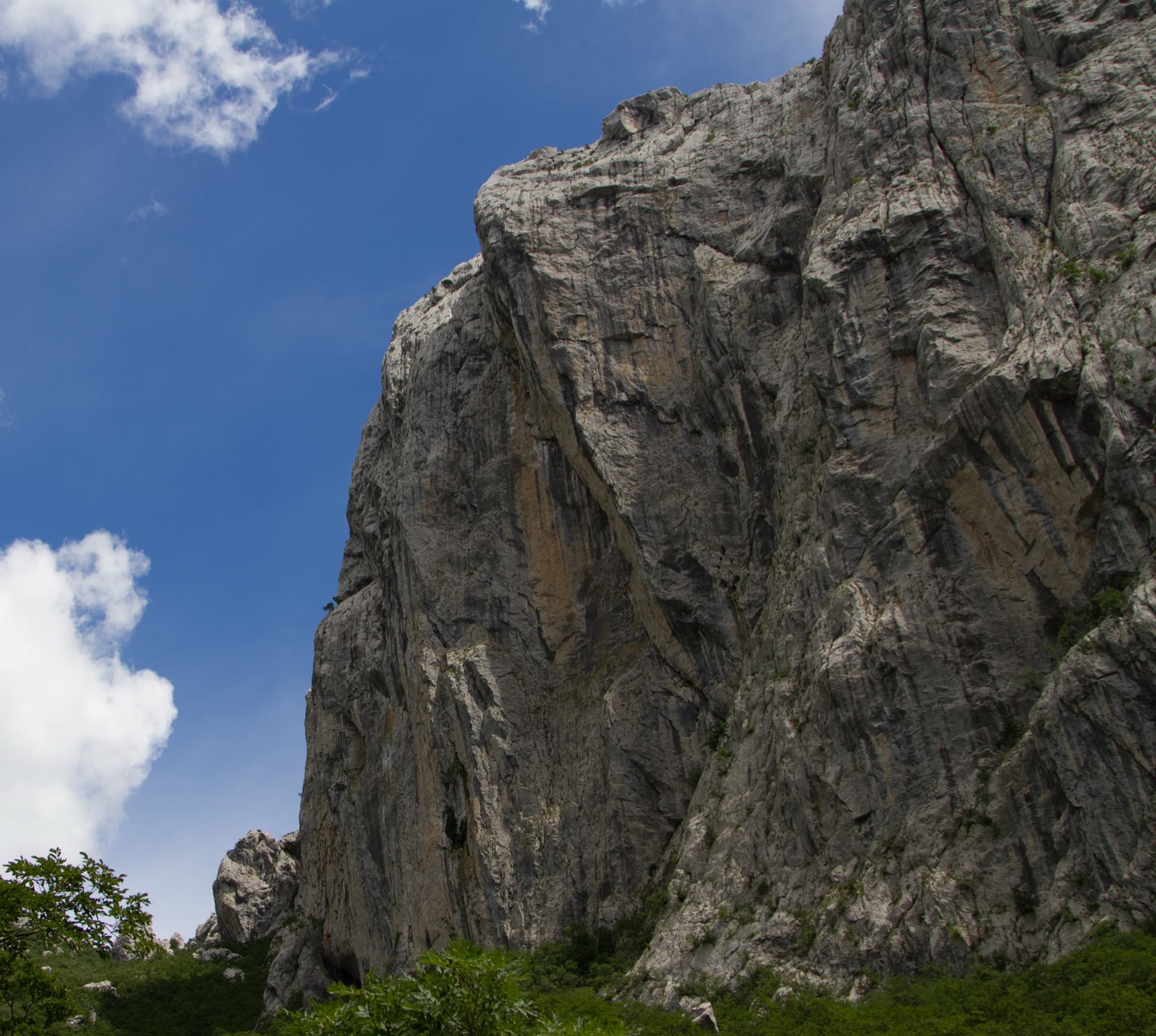
The north-west face of Anića kuk from below; the route is not marked.

Croatia · Paklenica

Jenjavi

One of the best-protected long routes on Anića kuk. The hard climbing is all in the first three pitches, 7a, 7a+ and 6c+, which are bolted closely enough to pull through; the guidebook gives 5c/A1 for the aided grade. Above, nine pitches of 5a to 6b wander up the big north-west face on flakes, grooves, a corner and a chimney to finish near the summit.

6c+12 pitches385 m

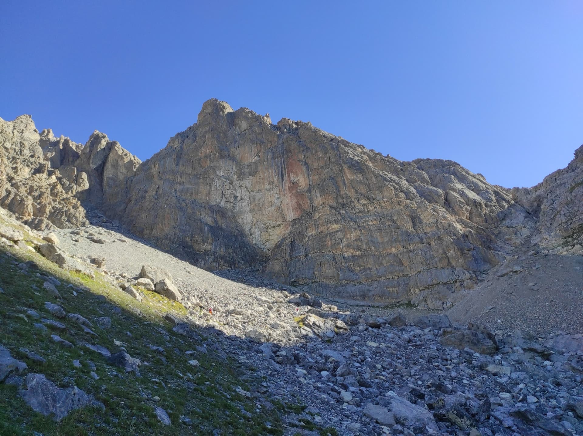
The face of the Tour Termier above its scree bowl in the Cerces; Feu Sacré climbs this wall, the line is not marked.

France · Cerces

Feu Sacré

The classic hard route of the Tour Termier: ten steep, technical pitches on superb compact limestone at 3000 m, a short walk from the Col du Galibier road. It is never athletic but sustained at 6a+ to 6b, with a 7a pitch and a 6c move that both go at 6a A0. Cold, wind and thin footwork make it feel bigger than the numbers.

7a10 pitches320 m

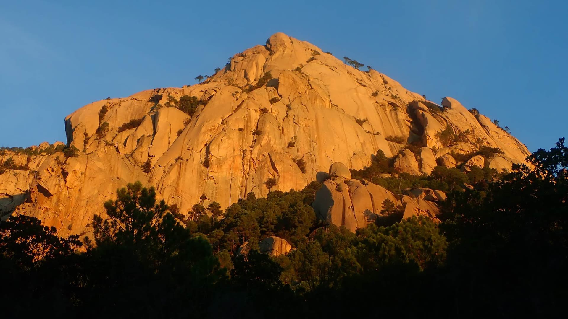
The granite dome of Teghie Lisce glowing at sunrise above the pines of Bavella; Acqua in bocca climbs its slabs, the line is not marked.

France · Bavella

Acqua in bocca

A sampler of everything Bavella granite does: a technical 7a wall, layback and jamming cracks, an off-width, a squeeze slot behind a tree, and three pitches of pure friction slab to finish. Bolted well enough to climb on quickdraws, which is rare here. The wide pitches are awkward and bruising if you are not used to the style.

7a10 pitches300 m

Read the cautions

Compiled from published sources and last verified October 2026. Bolts, anchors and access change. Climbing is dangerous and you are responsible for your own decisions: check a current topo and read the disclaimer.