.jpg)
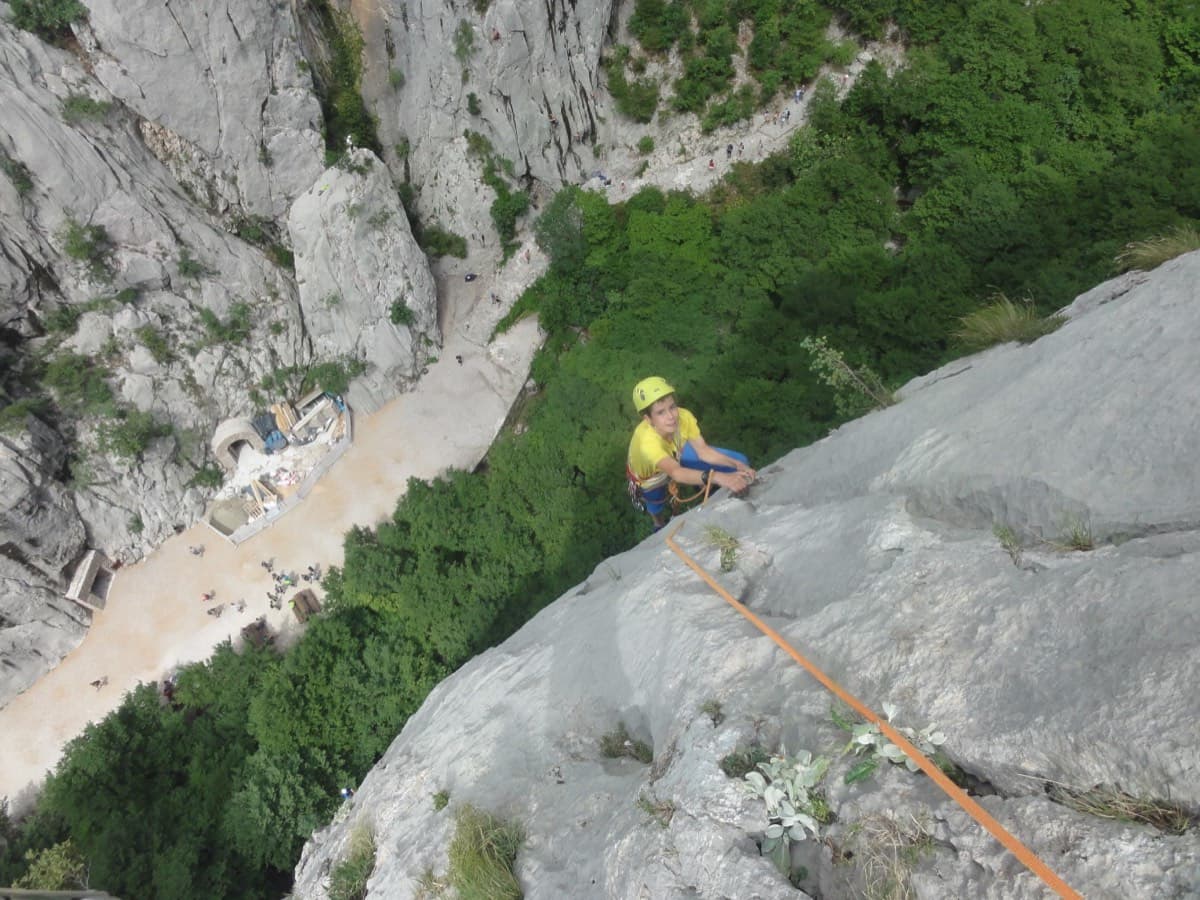
Croatia · Paklenica
Karamara Sweet Temptations
A five-minute approach from the gorge café. There is a polished boulder-problem start, then wandering grooves and an airy traverse on the 6a+ third pitch.
6a+4 pitches110 m
Read the cautions
Anića kuk – north-west face · Paklenica · Croatia
Bail not documentedBolting confidence: high
One of the best-protected long routes on Anića kuk. The hard climbing is all in the first three pitches, 7a, 7a+ and 6c+, which are bolted closely enough to pull through; the guidebook gives 5c/A1 for the aided grade. Above, nine pitches of 5a to 6b wander up the big north-west face on flakes, grooves, a corner and a chimney to finish near the summit.
The route
Jenjavi climbs the full height of the north-west face of Anića kuk, starting left of Velebitaški and Albatros. Free, it is a 7a+ route, harder than the atlas range. It is included because every source says the two hardest pitches go easily on the bolts: camptocamp gives 5c obligatory, the guidebook 5c/A1, and bergsteigen.com says the first three pitches can be aided very well. Above them the route is sustained at 6a with one 6b corner. It is known as the well-bolted way up the wall, a place to relax mentally by Paklenica standards, though the easy pitches near the top are still run-out and the line crosses several other routes.
The climbing
| Pitch | Grade | Notes |
|---|---|---|
| P1 | 7a (A0) | Start left of a small overhang. Bouldery climbing on small holds and small footholds, very closely bolted, and it goes without trouble on the bolts. |
| P2 | 7a+ (A0) | The same style and the free crux: bouldery, helped by a long reach, very closely bolted and easily aided. |
| P3 | 6c+ | A superb, long crack pitch with some hand jamming. bergsteigen.com says this pitch too can be aided. |
| P4 | 6a | A fine, airy traverse left on flakes. |
| P5 | 5c | Straightforward, but several routes cross here: take care to stay on the right line. |
| P6 | 3 | A traverse left in big water grooves. Run-out, and the bolts are hard to spot: a 2024 leader stopped at a belay 15 m below the right one. |
| P7 | 6b | An athletic corner on good, sharp holds (a 2024 party says 6b+) to an intermediate belay on the ledge to the left, which the new topo shows. |
| P8 | 6a+ | The continuation above the ledge. Pitches 7 and 8 can be run together, but it is long and the rope drags. |
| P9 | 6a | A zigzag through water grooves; described as short by camptocamp and 'not so short' by a 2024 party. |
| P10 | 6a | A chimney that a 2024 party found awkward and harder than the 6b. Camptocamp warns of an owl. |
| P11 | 5a | A short pitch. Run-out but easy. |
| P12 | 5a | A long pitch on magnificent rock to the top. Run-out but easy. |
Getting there
Base yourself in Starigrad-Paklenica, on the coast road between Rijeka and Zadar. From Zagreb it is about 235 km by the A1 to the Maslenica exit, then 15 km along the coast. A signed road leaves the eastern end of the village for the national park. Buy a ticket at the entrance (climbers can buy 3-day and 5-day tickets), then drive on to the last car park at the end of the road.
From the last car park follow the main path up the gorge to the signed turn-off for Anića kuk on the right, and take it up to the fork: right for the Stup, left for the Trapez, Klin, north-west and north faces. Go left along the foot of the wall. The start is left of Velebitaški, 20 to 30 m left of the start of Albatros (recognisable by a big tree at its first belay), on top of a small buttress of jumbled blocks. A small triangular tag gives the route name. A 2024 party took 35 to 40 min; bergsteigen.com allows 45 min. The start is at about 355 m.
Loading map
The point marks the base of the route.
Parking
Last car park in the Velika Paklenica gorge (bergsteigen.com map marker 'Ende der Straße')
Point from bergsteigen.com start marker for Jenjavi (flagged approximate), about 170 m from camptocamp waypoint 43174
Contains the route point and parking. Opens in most mapping apps and GPS watches.
Points are compiled from published sources, with the precision stated above. They were not surveyed on the ground: check them against a current topo.
Coordinates: 44.30767, 15.48049 (route base) · Parking: 44.30372, 15.47109
Getting down
From the last belay carry on up; you meet the marked normal path almost at once, close to the summit. Follow the red dots down into the gorge and back to the car park, about 1 hour. The path is the same one used for the approach in its lower part.
Retreat
Bail not documented
Retreat is not documented: every source describes climbing to the top and walking down. All belays are bolted, and a 2025 party did turn back about half-way, but how they got down is not recorded. The traverses on pitches 4 and 6 would complicate abseiling from above them.
Partly inferred from the route facts
Safety
Sun and weather
North-west facing, start at about 355 m and top near 712 m. The wall is in shade for most of the day: a party in early November 2024 wanted a down jacket at the belays, while an August 2016 party reported hot weather with a little wind. bergsteigen.com marks April to June, September and October. Reported times on the route are 4 to 7 hours.
Sun on the wall · NW-facing
Working out the sunlit hours for this month.
Sun on the wallDaylight, wall in shade● Usual season
Estimated from the wall's aspect only. Ignores surrounding terrain, gullies and the wall's exact shape. Clock times are local to the wall (Central European time), for the 15th of each month.
| Measure | Jan | Feb | Mar | Apr (usual season) | May (usual season) | Jun (usual season) | Jul | Aug | Sep (usual season) | Oct (usual season) | Nov | Dec |
|---|---|---|---|---|---|---|---|---|---|---|---|---|
| Mean daily high °C | 7 | 8 | 12 | 16 | 21 | 25 | 28 | 28 | 23 | 18 | 13 | 8 |
| Mean daily low °C | 0 | 0 | 3 | 7 | 12 | 16 | 18 | 18 | 14 | 10 | 6 | 2 |
| Rain days 1 mm or more | 11 | 10 | 11 | 12 | 11 | 8 | 6 | 6 | 9 | 11 | 13 | 12 |
● marks the usual climbing season. Averages for 1991-2020 at about 262 m. Area climate from Open-Meteo reanalysis. Temperatures are adjusted to the height of the crag; rain comes from a grid cell of about 10 to 25 km, and summer highs on sea cliffs can read a few degrees low. The wall and valley can differ. Data: Open-Meteo, CC BY 4.0.
What to carry
18 quickdraws and slings (bergsteigen.com). No cams or nuts are listed, and camptocamp's gear note says nothing is needed. bergsteigen.com gives two 60 m ropes. Helmet. A 2025 party ran short of quickdraws on the long pitches.
Derived from the route data; check it against a current topo
From climbers
Reader reports are not being collected yet. Until they are, check a current topo and the local club or guidebook publisher for recent changes to Jenjavi.
Worth knowing
Open questions
Provenance
Same area
Croatia · Paklenica
A five-minute approach from the gorge café. There is a polished boulder-problem start, then wandering grooves and an airy traverse on the 6a+ third pitch.
6a+4 pitches110 m
Read the cautions
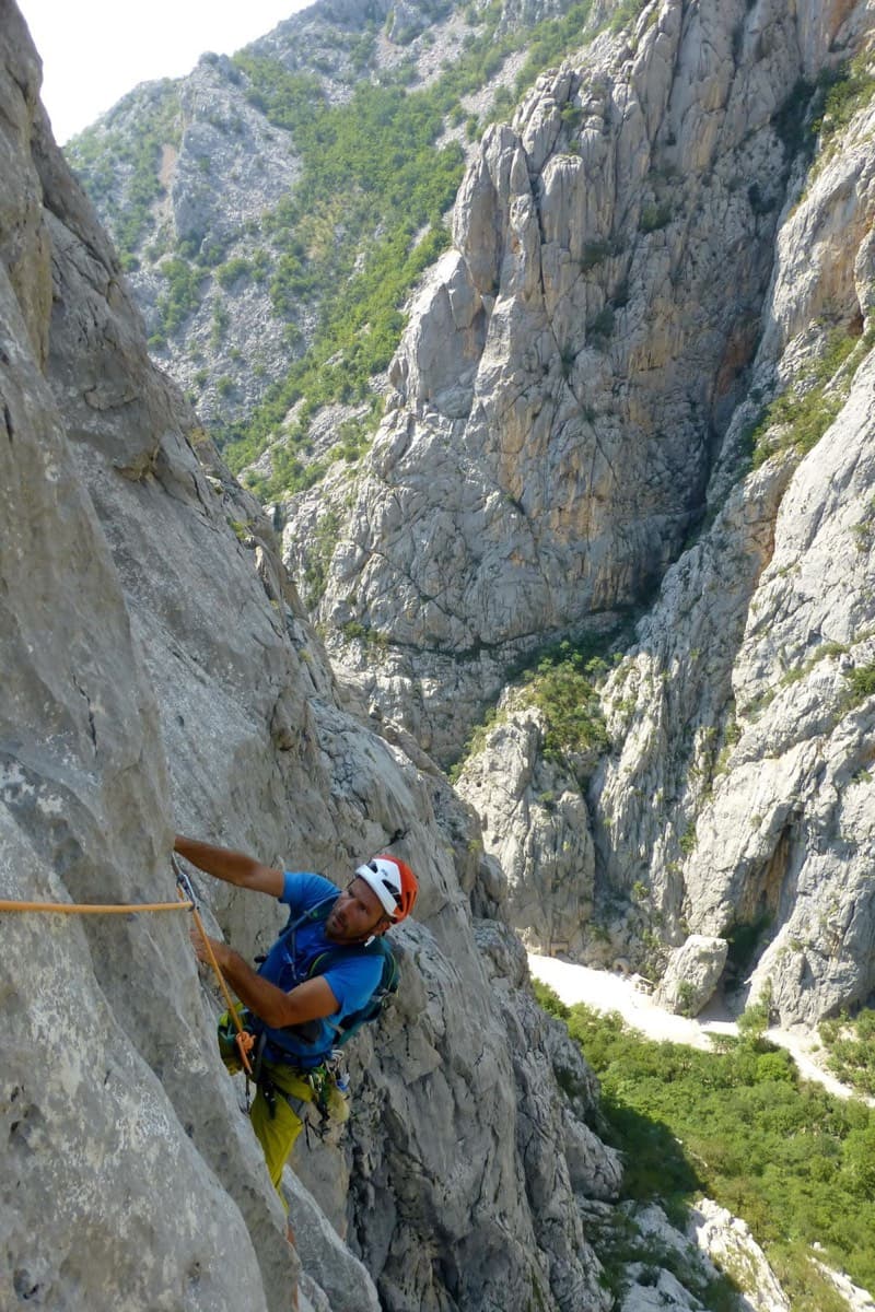
Croatia · Paklenica
Classic Paklenica water-groove climbing on beautifully sculpted rock. The crux is a rising crack traverse on P5, with delicate slab moves above.
6a+6 pitches160 m
Read the cautions
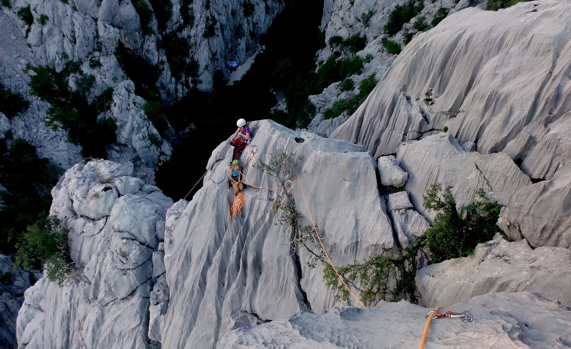
Croatia · Paklenica
A short, high-quality modern line: a clean straight first pitch, then a steep crack crux and magnificent water grooves.
6a+5 pitches100 m
Read the cautions
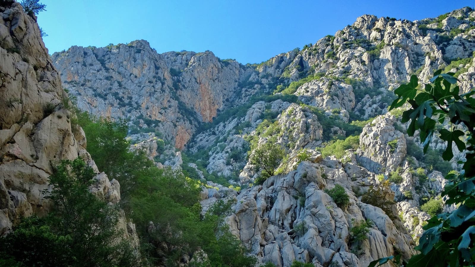
Croatia · Paklenica
The line used for Paklenica's annual Big Wall Speed Climbing competition: steep, direct and on very rough rock that has stayed unpolished. A sustained 45 m 6c+ pitch on small holds is the crux, followed by sharp runnels, a big corner and three overhangs to finish. Fifteen minutes from the car.
6c+6 pitches200 m
Around 6c+ · about 12 pitches
France · Briançonnais
One of the most admired lines on the Tête d'Aval: eleven sustained pitches, first up steep cracks and walls, then across orange limestone studded with small spikes. The grade is 6c with a 6c+ passage that has a fixed sling for aid, and 6b is obligatory. Parties advise being comfortable at 6c, because the bolting is sound but not generous.
6c+11 pitches300 m
Read the cautions
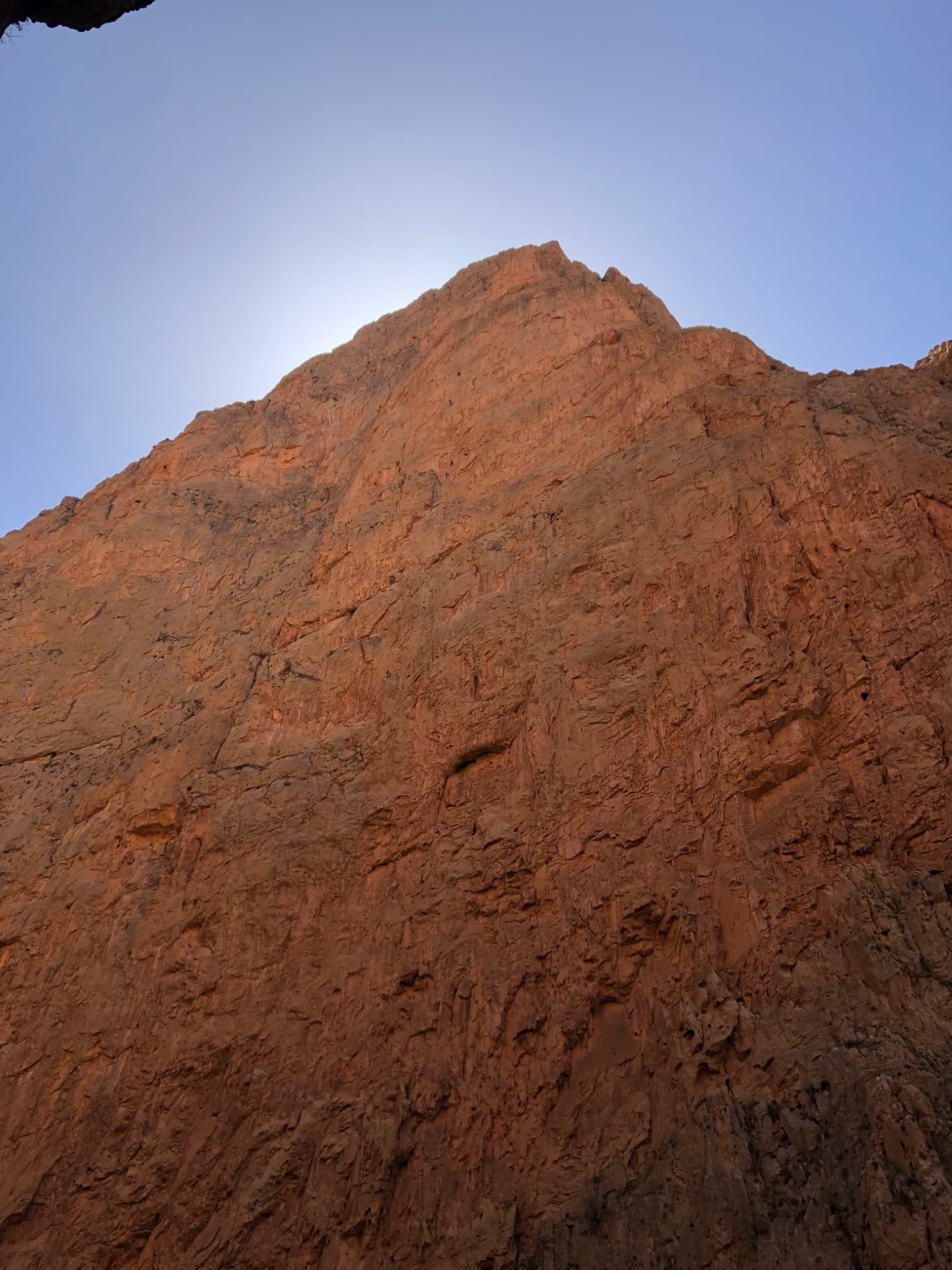
Morocco · Taghia
Twelve long, sustained pitches up the shady north face of the Taoujdad: technical slabs and walls demanding precise footwork, with a few athletic overhangs. Sources agree it is hard for the grade, with 6c obligatory and several pitches of 6c+ to 7a. The most approachable line on this face, but still a big day.
7a12 pitches500 m
Read the cautions
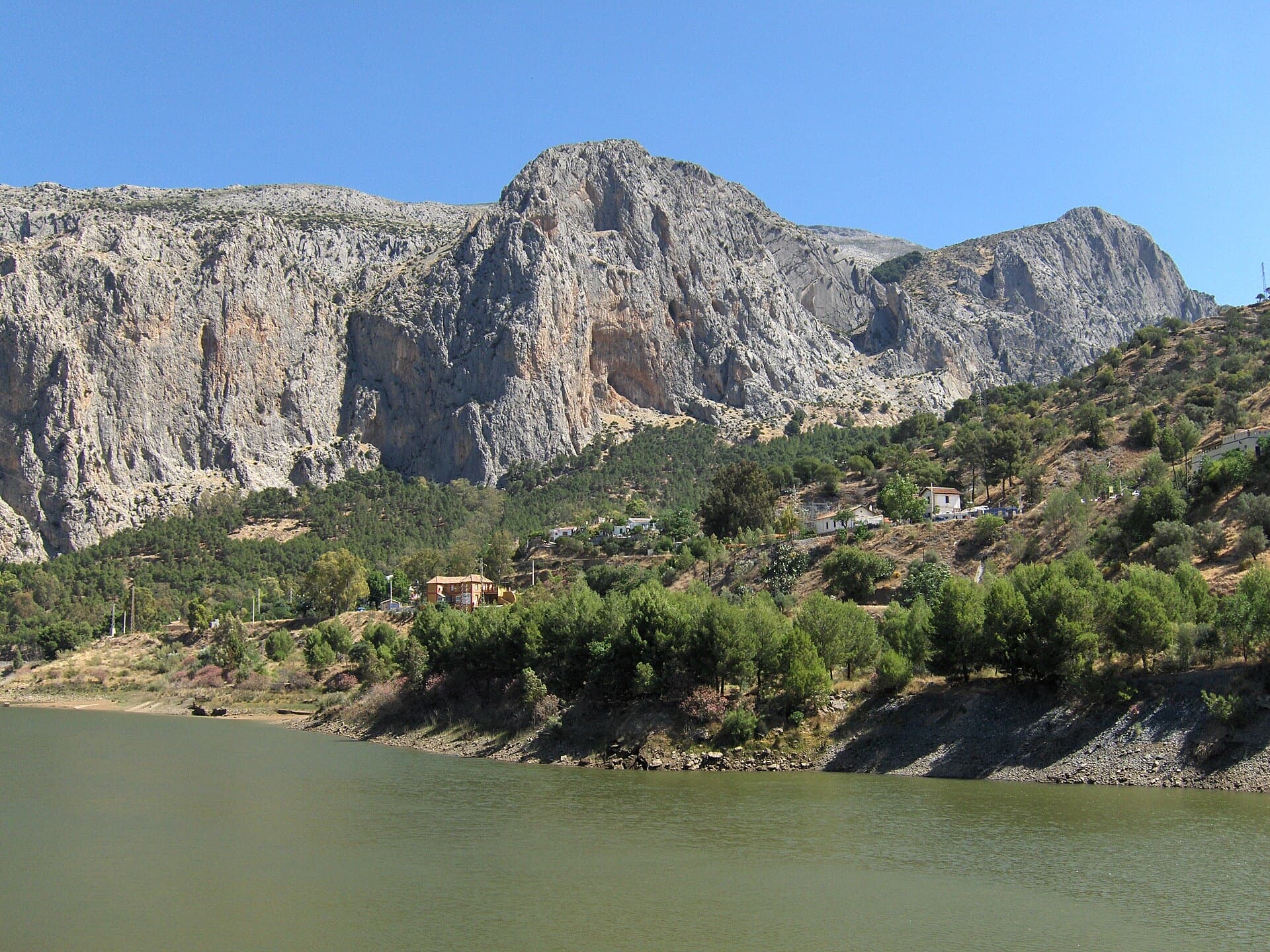
Spain · El Chorro
A twelve-pitch line to the top of the Frontales face, starting right of the big Poema de Roca cave. The hard pitches are short, bouldery and athletic; the upper half turns to technical water-pocket climbing. One party found it less coherent than its neighbours but worth it for the summit.
7a12 pitches300 m
Read the cautions
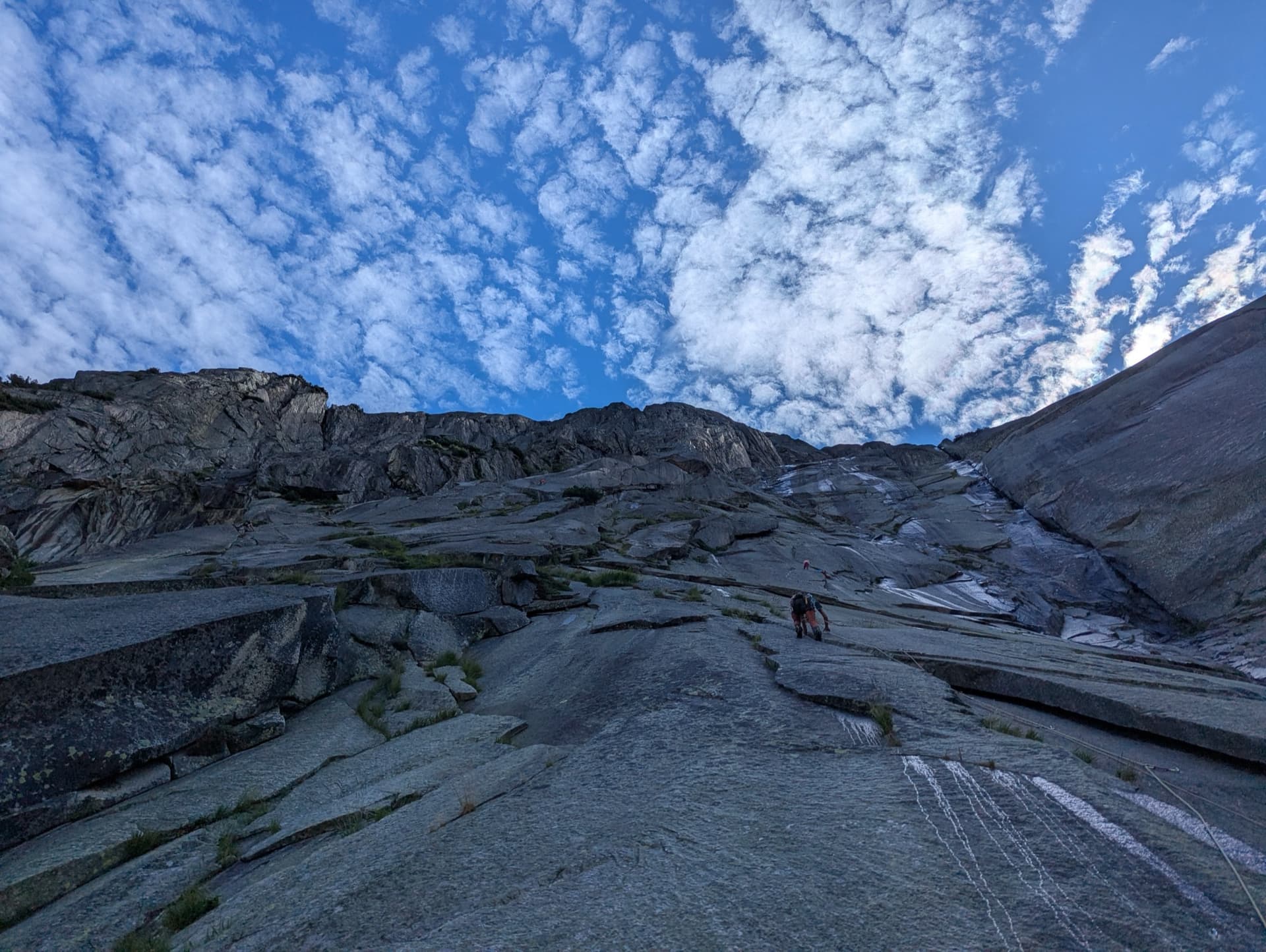
Switzerland · Grimsel
Fourteen pitches up the Gelmerfluh next to Sagittarius, and by several accounts the better route: a knife-cut flake, a finger-to-hand crack worthy of Chamonix, corners, a pendulum and Grimsel slab, then easier quartz-veined walls to the top. Mostly 5c to 6a, with two short slab cruxes that almost everyone aids.
6c+14 pitches400 m
Compiled from published sources and last verified October 2026. Bolts, anchors and access change. Climbing is dangerous and you are responsible for your own decisions: check a current topo and read the disclaimer.