Switzerland · Gastlosen
Salü Jan
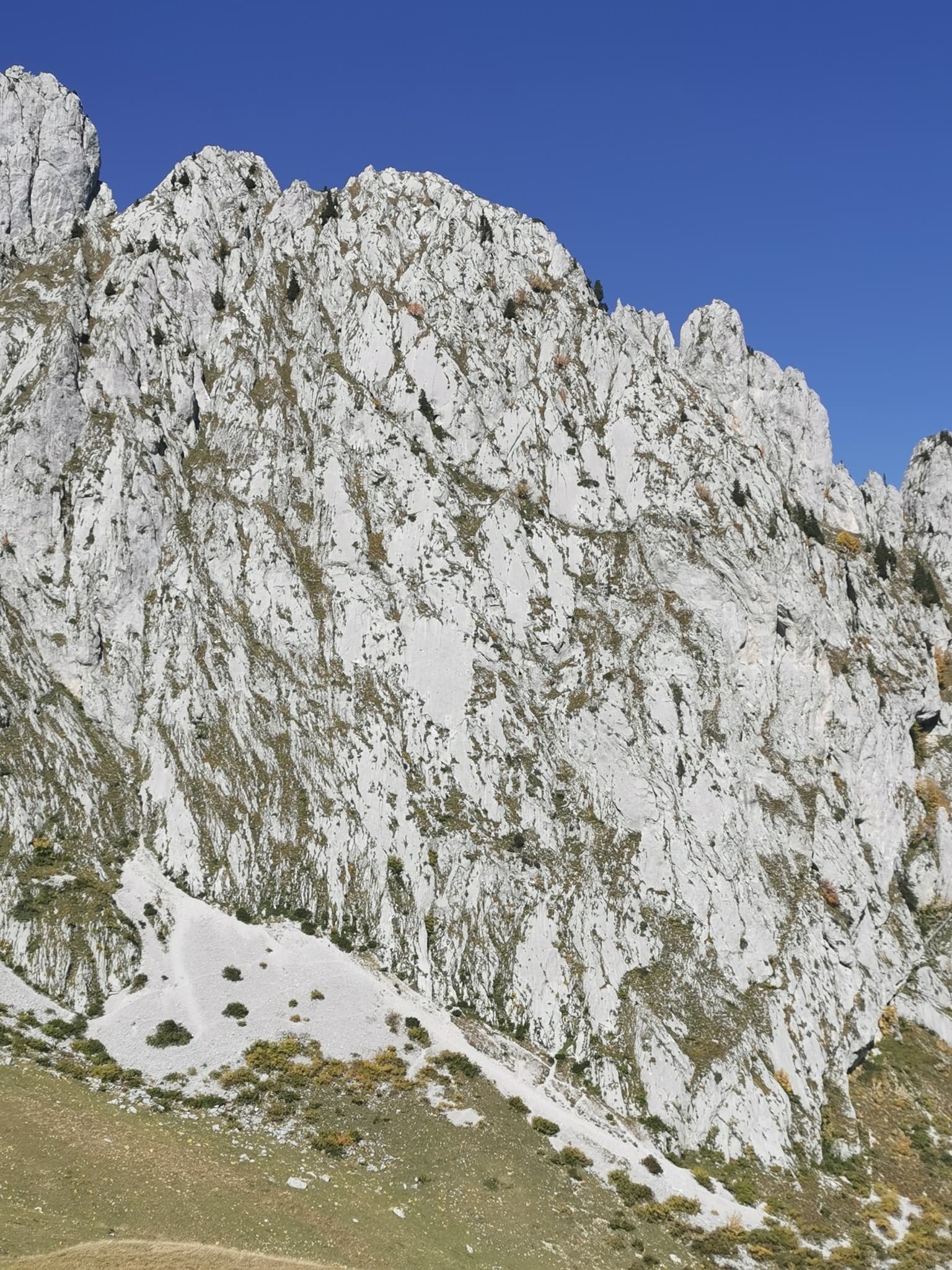
One of the busiest routes in the Gastlosen: homogeneous, technical climbing on beautiful fluted slabs (cannelures) that dry fast. The top third is broken by grassy ledges.
6a12 pitches380 m
Pfadflue – north-west face · Gastlosen · Switzerland
Read the cautionsBail with caveatsBolting confidence: high
The accessible long route on the shady north-west side of the Pfadflue: thirteen pitches of pocketed walls, slabs, cracks and big runnels, with a 7a wall of pockets at mid-height and two fine 6c pitches near the top. The hard moves can be aided on the close bolts. Grassy ledges break up the line and the last pitch is loose.
Bolted very closely with chained belays, but the last pitch is loose, the walk-down has rotten fixed ropes and parties have been hurt near the top.
The route
Gasterix takes the north-west face of the Pfadflue, a side of the Gastlosen where most routes are 7b and harder. Opened in 2004, it finds a way at 6a to 6c with one 7a pitch, and it is bolted closely enough that parties climbing a grade or two below it get up with a few pulls on quickdraws. The rock on the main pitches is excellent, with pockets and craters unlike the south side's runnels, but grassy ledges interrupt the climbing. Treat the top of the route and the descent with respect: there has been an accident on the last pitch and an injury from a falling block near the summit.
The climbing
| Pitch | Grade | Length | Notes |
|---|---|---|---|
| P1 | 6a | 40 m | A vertical wall seamed with wide, grassy cracks and runnels for about 30 m, then a series of grass ledges; the belay is up to the right. |
| P2 | 5c | 40 m | Steep on good holds with a physical move through a small cracked overhang less than 10 m above the belay. Stop at the belay, a little right behind a tree; running on gives terrible rope drag. |
| P3 | 3a | – | A walk left along a grass ledge, about 20 m, then a few metres up to a two-bolt belay. Do not follow the fixed ropes, which belong to the descent; the route continues about 5 m left of them. |
| P4 | 6a | – | Up and left through grass, then a vertical wall on good holds and crater-like pockets. |
| P5 | 6b+ | – | Yellow, rougher rock left of the belay, following pockets and cracks up a compact wall to an airy, physical move on the prow. Goes at 6a with two points of aid. Camptocamp gives 6b. |
| P6 | 5c | – | Short, on good holds and water-drop rock, crossing from one pillar to another. |
| P7 | 7a | 35 m | A few slab moves, then a slightly overhanging wall of pockets that are not all positive; the crux is at the fourth bolt, at the lip. Then a crack up and left, a pillar passed on the right, and straight up. Closely bolted and possible A0. It can be avoided on the right from the previous belay by two easier pitches (camptocamp gives a 40 m 5c). |
| P8 | 5b | – | Grassy start, then a traverse up and left to a steep slab with a few technical moves. Extend your quickdraws. |
| P9 | 6b | – | A steep slab with good holds that need finding, then a physical move in a short chimney or over a small cracked overhang. Goes at 5c with one point of aid. |
| P10 | 6c | 35 m | A slabby plinth, then a vertical wall on small holds and welcome pockets. |
| P11 | 6c | 35 m | Straight up a slab, left towards a flared crack, a technical move back right, then a corner and fine runnels where you cannot relax. |
| P12 | 5c | 30 m | A less obvious move above the belay, then easier up a big runnel. |
| P13 | 5b | – | Blocks and grass on poor rock. Camptocamp flags an accident on this pitch; climb it with care or stop below it. |
Getting there
From Jaun (canton Fribourg) turn right at the 'skilift' sign and follow the road signed Sattel and Chalet du Soldat to its end at the Chli Sattel car park (1420 m). No public transport reaches the car park; buses run to Jaun.
From Chli Sattel walk towards the Chalet du Soldat, then take the path left towards the Oberberg col at about 1600 m (not the first path at 1550 m). At about 1700 m take the right-hand fork back towards the Chalet du Soldat. The path arrives just left of the foot of the route: traverse 20 m left to find 'Gasterix' painted in red. About 1 hour. A faint path bypasses the first two pitches when the slabs are wet.
Loading map
The point marks the crag, not the exact start of the route.
Parking
Chli Sattel, end of the road above Jaun (camptocamp waypoint 113911)
Point from camptocamp waypoint 41643 (Pfadflue summit; the route is on the north-west face)
Contains the route point and parking. Opens in most mapping apps and GPS watches.
Points are compiled from published sources, with the precision stated above. They were not surveyed on the ground: check them against a current topo.
Coordinates: 46.57867, 7.27381 (crag) · Parking: 46.58882, 7.27002
Getting down
Abseil. From the top use the route's belays for the last two pitches to reach belay 11 (they can be joined, at the risk of a jammed rope). From there an independent abseil line, right of the route and marked with fading red arrows, drops in four straight abseils to the ledge at the foot of the pitch above the grass transition. Walk 20 m to the next belay, make a short 20 m abseil, then a 50 m abseil to the grass ledge of pitch 3. Finish on foot down the path that bypasses the first two pitches, with a few down-climbing steps; the fixed ropes there were unusable in 2021 and short abseils are possible instead. Allow about 2 hours.
Retreat
Bail with caveats
All belays are chained and the descent is by abseil, so retreat is practical, but it is not a simple reverse of the route. Below pitch 4 you walk off; higher up you abseil the pitches or join the marked abseil line right of the route, which runs from belay 11 down to the mid-height ledge in four abseils.
Partly inferred from the route facts
Safety
Sun and weather
North-west facing between about 1770 m and 2068 m, so it is in the shade for much of the day and suits hot summer weather. In early May 2026 there was still snow at the foot of the face, which made the end of the descent awkward in rock shoes. Seeps appear on the first pitch and near the top after a storm but dry quickly.
Sun on the wall · NW-facing
Working out the sunlit hours for this month.
Sun on the wallDaylight, wall in shade● Usual season
Estimated from the wall's aspect only. Ignores surrounding terrain, gullies and the wall's exact shape. Clock times are local to the wall (Central European time), for the 15th of each month.
| Measure | Jan | Feb | Mar | Apr | May | Jun (usual season) | Jul (usual season) | Aug (usual season) | Sep (usual season) | Oct | Nov | Dec |
|---|---|---|---|---|---|---|---|---|---|---|---|---|
| Mean daily high °C | −3 | −2 | 2 | 5 | 10 | 14 | 16 | 16 | 12 | 9 | 2 | −2 |
| Mean daily low °C | −11 | −10 | −7 | −5 | −1 | 4 | 6 | 6 | 3 | −1 | −6 | −10 |
| Rain days 1 mm or more | 14 | 12 | 14 | 16 | 20 | 20 | 20 | 18 | 15 | 13 | 13 | 14 |
● marks the usual climbing season. Averages for 1991-2020 at about 1766 m. Area climate from Open-Meteo reanalysis. Temperatures are adjusted to the height of the crag; rain comes from a grid cell of about 10 to 25 km, and summer highs on sea cliffs can read a few degrees low. The wall and valley can differ. Data: Open-Meteo, CC BY 4.0.
What to carry
2×50 m ropes and 16 quickdraws, 18 if you want to clip everything, several of them extendable. Helmet. Take approach shoes up to the top of pitch 3, because the descent finishes on foot from there.
Derived from the route data; check it against a current topo
From climbers
Reader reports are not being collected yet. Until they are, check a current topo and the local club or guidebook publisher for recent changes to Gasterix.
Worth knowing
Open questions
Provenance
Same area
Switzerland · Gastlosen
One of the busiest routes in the Gastlosen: homogeneous, technical climbing on beautiful fluted slabs (cannelures) that dry fast. The top third is broken by grassy ledges.
6a12 pitches380 m
Switzerland · Gastlosen
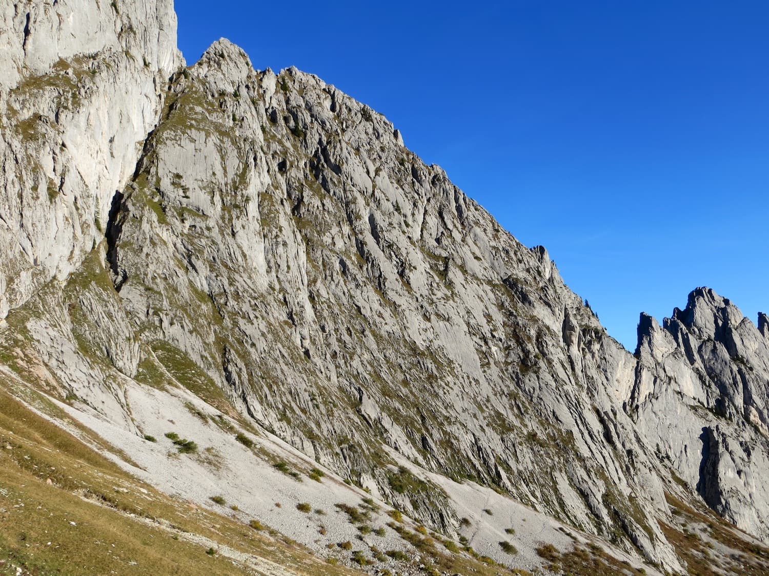
Six pitches of water-worn runnels and compact slab on the south face of the Pfadflue, ending on a ledge at mid-height. Pitch 4 pulls over a small overhang and pitch 5 is a delicate, holdless friction slab. You can carry on up the last five pitches of Salü Jan to the summit.
6a6 pitches250 m
Switzerland · Gastlosen
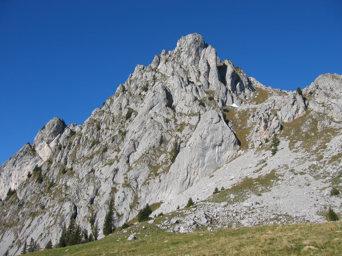
One of the best routes at 6a to 6b in the Gastlosen: eight varied pitches of pocketed slab, short walls, pillars and water-drop rock on the south-east face of the Wandflue. The first pitch is the 6b crux and the steep, pocketed wall of pitch 7 is the highlight. A few grassy ledges link the good rock.
6b8 pitches250 m
Read the cautions
Switzerland · Gastlosen
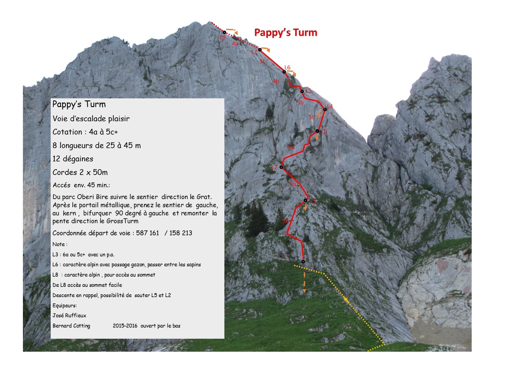
A modern eight-pitch plaisir route up the east side of the Gross Turm, with a summit you can scramble to from the last belay. Mostly 5a to 5c on slabs and small pillars, with one delicate 6a traverse on pitch 3 that goes at 5c+ with a pull on a bolt. Pitches 3 and 4 feel stiff for the grade.
6a8 pitches250 m
Around 7a · about 13 pitches
Morocco · Taghia
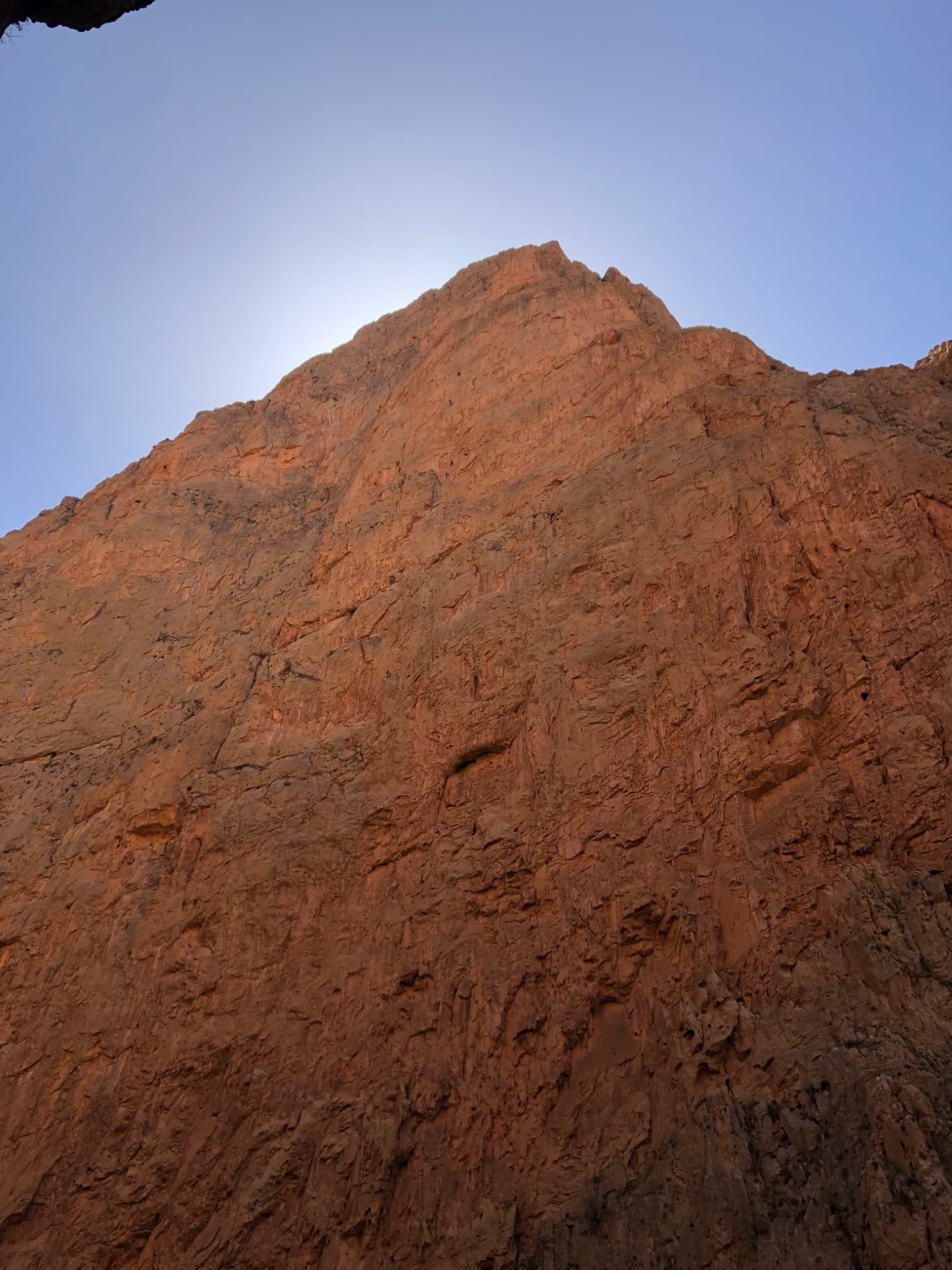
Twelve long, sustained pitches up the shady north face of the Taoujdad: technical slabs and walls demanding precise footwork, with a few athletic overhangs. Sources agree it is hard for the grade, with 6c obligatory and several pitches of 6c+ to 7a. The most approachable line on this face, but still a big day.
7a12 pitches500 m
Read the cautions
Spain · El Chorro
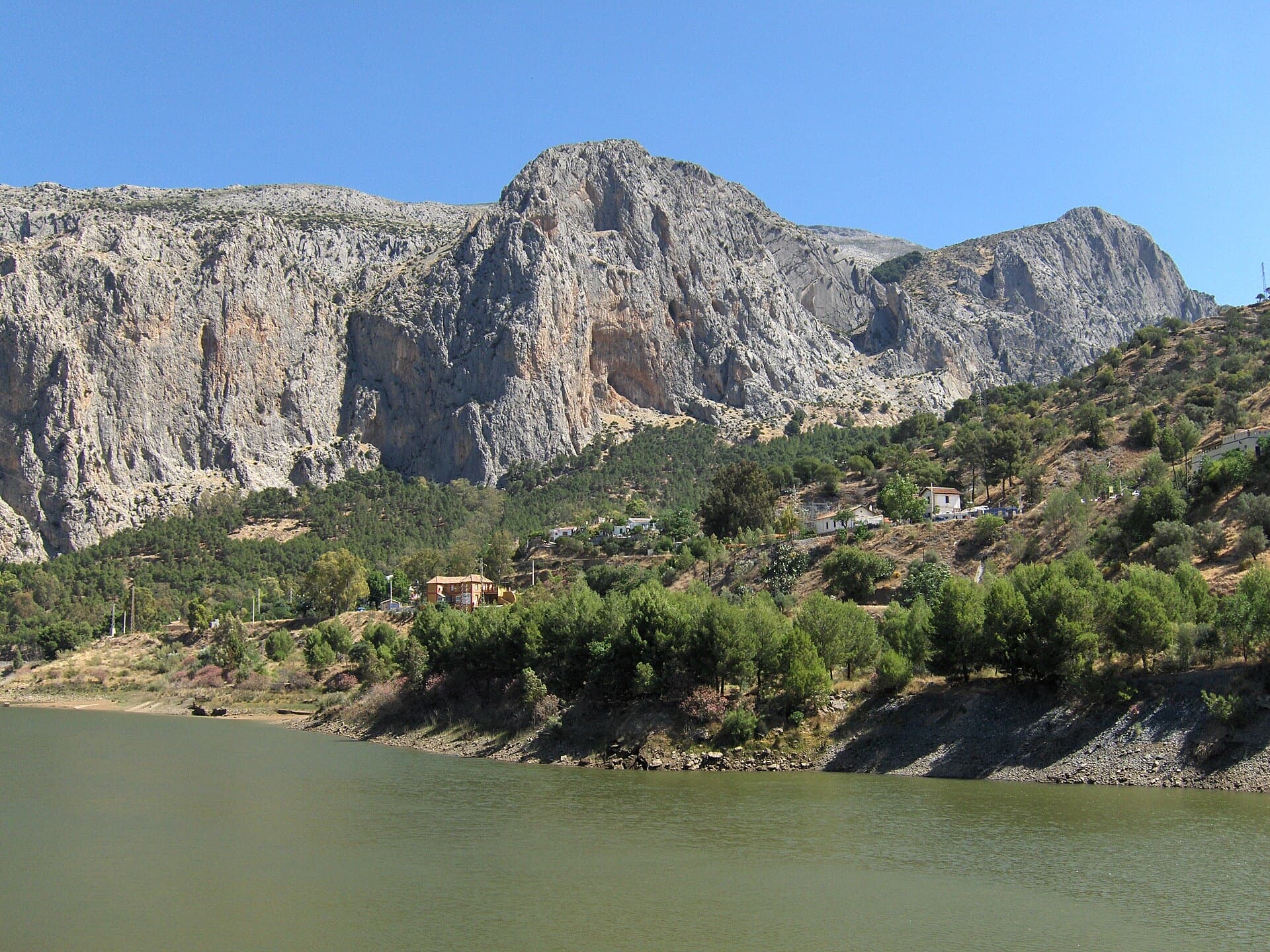
A twelve-pitch line to the top of the Frontales face, starting right of the big Poema de Roca cave. The hard pitches are short, bouldery and athletic; the upper half turns to technical water-pocket climbing. One party found it less coherent than its neighbours but worth it for the summit.
7a12 pitches300 m
Read the cautions
Croatia · Paklenica
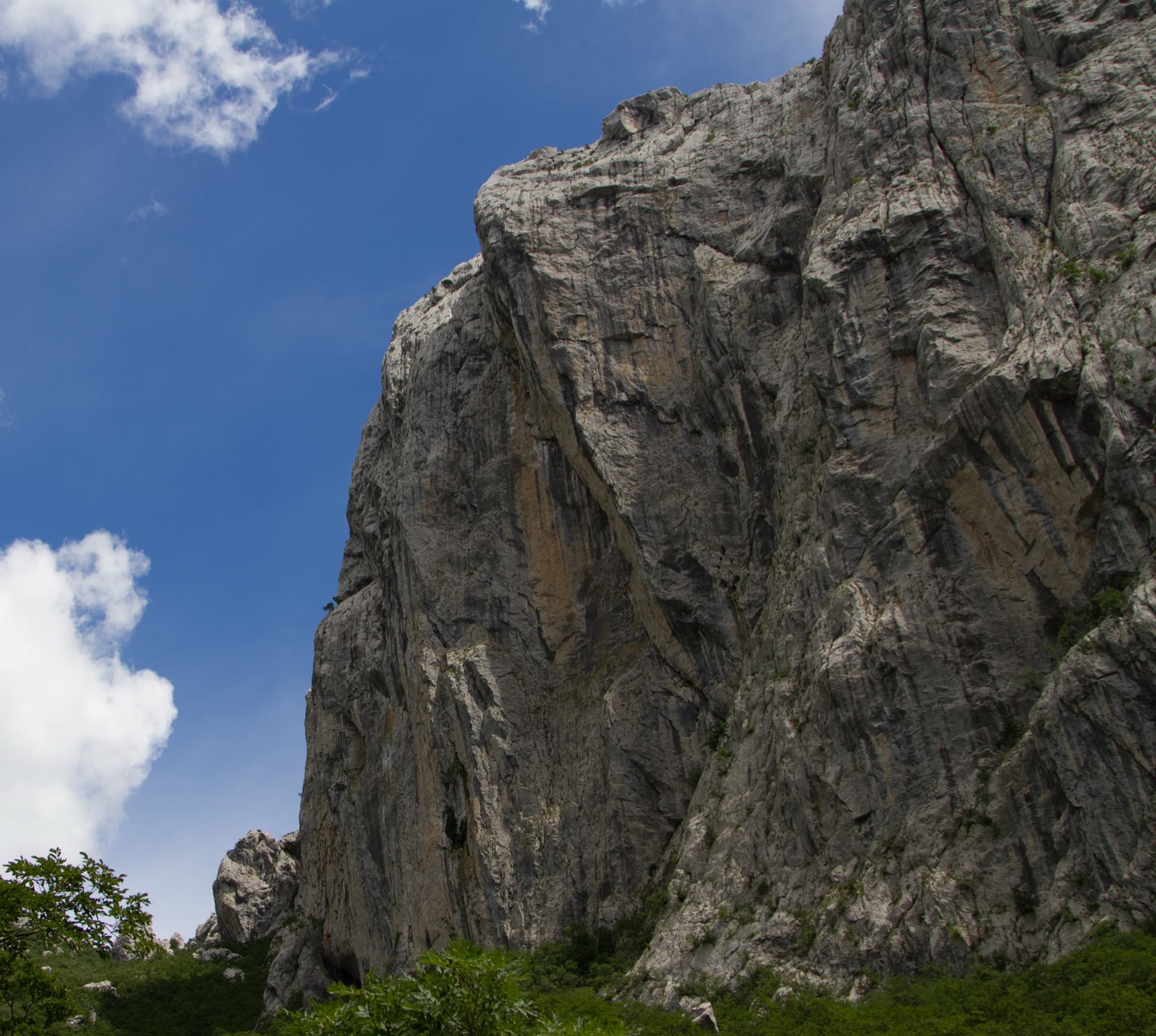
One of the best-protected long routes on Anića kuk. The hard climbing is all in the first three pitches, 7a, 7a+ and 6c+, which are bolted closely enough to pull through; the guidebook gives 5c/A1 for the aided grade. Above, nine pitches of 5a to 6b wander up the big north-west face on flakes, grooves, a corner and a chimney to finish near the summit.
6c+12 pitches385 m
Italy · Arco & Valle del Sarca
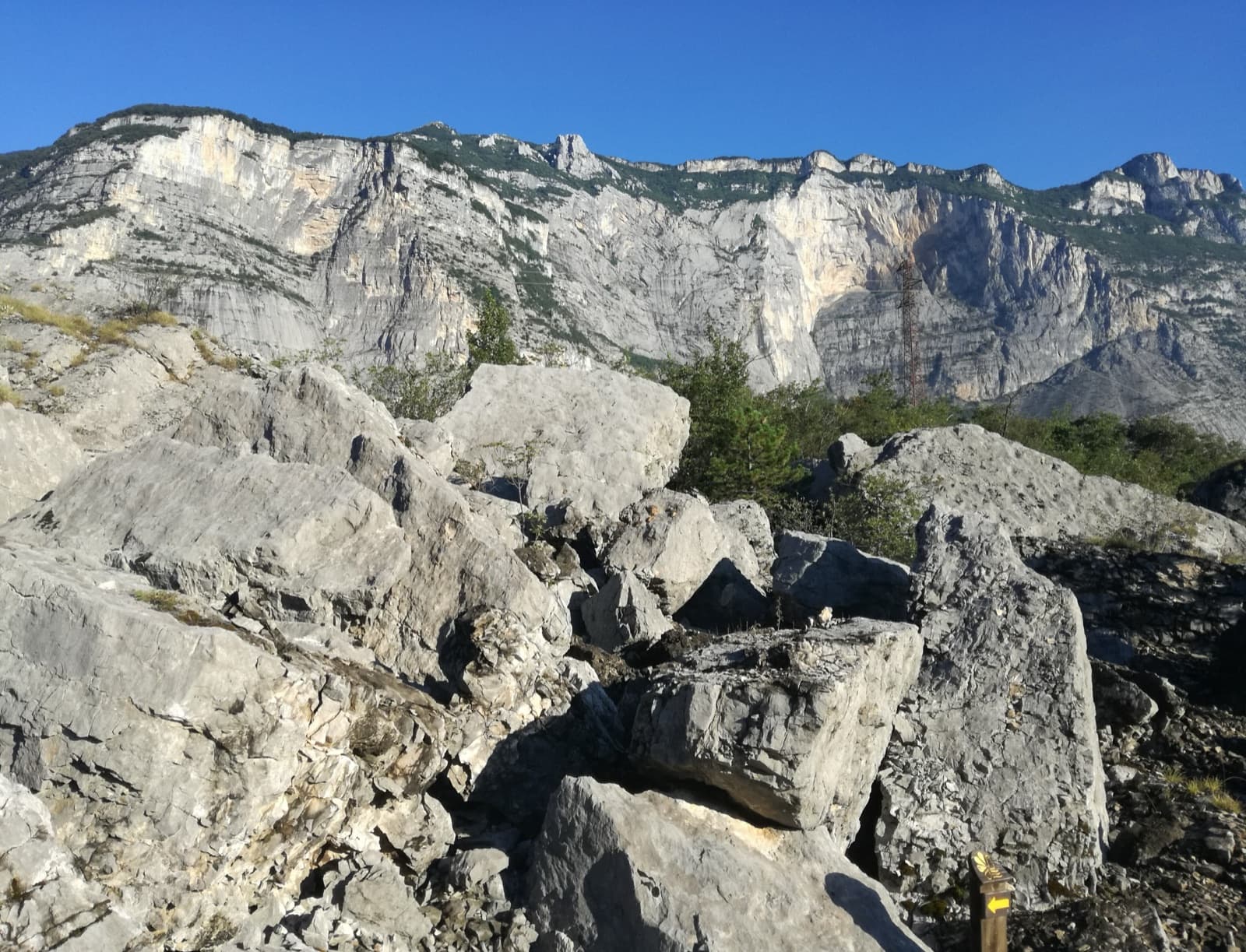
A very popular line that runs dead straight up the Mandrea wall above Laghel: rough slabs, traverses under overhangs, an odd tunnel-like roof and steep corners. Mostly 6a to 6b, with two harder passages, a traverse on small holds on pitch 2 and a rounded slab near the top, both of which can be pulled through on the bolts.
6c+12 pitches270 m
Compiled from published sources and last verified October 2026. Bolts, anchors and access change. Climbing is dangerous and you are responsible for your own decisions: check a current topo and read the disclaimer.