Multipitch Atlas

Manque Un Mètre

Pic de Jallouvre (Col de la Colombière) · Aravis · France

Easy to bailBolting confidence: high

Probably the best route on the Jallouvre's south face: seven pitches of water-runnelled limestone with two short, distinct 6a cruxes, a polished balance move on pitch 2 and a smooth slab at the end of the magnificent runnel pitch. Everything else is amenable.

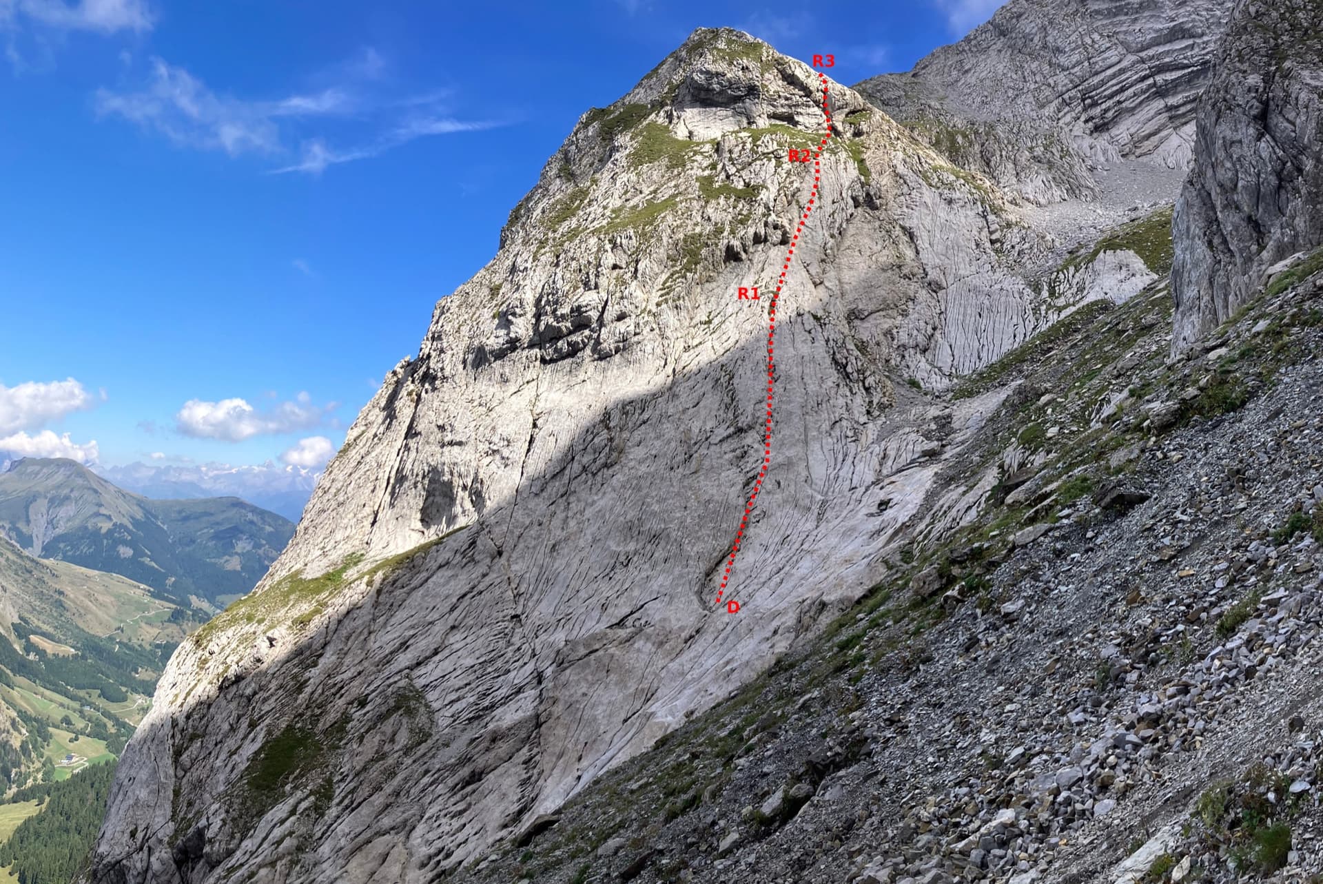
Photo-topo of the south face of the Jallouvre with Manque Un Mètre on the left and its pitch gradesPhoto: David Bochot · CC BY-SA 3.0

Topo

Photo-topo of the south face of the Jallouvre with Manque Un Mètre on the left and its pitch gradesPhoto: David Bochot · CC BY-SA 3.0
Hardest pitch
6a
Pitches
7
Length
280 m
Approach
20 min
Aspect
SE
South-east-facing
Rope
2×50 m

The route

Overview

Manque Un Mètre takes the left side of the compact south face below the Jallouvre, twenty minutes from the Col de la Colombière road. Most of it is pleasant 5a to 5b on excellent sculpted rock, with two short 6a sections that give the route its name: both are reach-dependent. The first can be bypassed by a 4b detour and the second can be aided. Every belay has chains and most are doubled, so the usual descent is by abseil down the route. It is very popular and the key moves are polished.

The climbing

Pitch by pitch

Pitches of Manque Un Mètre
PitchGradeLengthBoltsNotes
P15b30 m9 boltsVertical and a little strenuous.
P26a40 m10 boltsThe hard move is a polished balance move on a rising traverse left; a 2026 party found it needs finger holds first. It can be avoided by traversing 5 to 6 m left along the ledge below it and climbing back right diagonally (4b, slings useful). After a first belay there is a more comfortable second one on a good terrace about 5 m higher on the right.
P35a35 m7 boltsBelay on a terrace on the left.
P44b50 m10 boltsLeaves leftwards: a gentle, flowery slab. A full 50 m.
P56a45 m9 boltsA magnificent pitch of runnels, then a smooth slab for the last 5 m. The crux is reachy, hard for short climbers, but goes at 5c/A0 or with a foot sling. Bolts are well spaced in the runnels. The belay is uncomfortable; a better one is on a terrace down and right, and clipping the first helps to belay the second in line.
P65b35 m5 boltsTowards the corner, then a slab traversing right, then grass; the belay is straight above.
P75b20 m5 boltsA slabby, polished traverse under the big overhang, then an overhanging corner on good holds.

Getting there

Approach

To the parking

The Jallouvre routes start from a small quarry car park two hairpins below the Col de la Colombière on its Le Grand-Bornand (Le Chinaillon) side; it is more convenient than the car park at the col, which is often full in summer. A shuttle runs from Le Grand-Bornand to Le Chinaillon, from where a path or the road climbs to the col. The col road is closed in winter. It is also possible to park at the car park of the Jallouvre via ferrata.

On foot · about 20 min

About 20 min. From the quarry car park climb onto the protective embankment on the right and follow it to its end, heading south-west. Take a level path along the foot of the cliff. Look ahead for a group of 5 to 10 firs; about 20 m before them, before the path rises, find a buttress and the first bolts, with the abbreviated name 'M 1 M' painted at the foot.

Map of the walk-in

  • Crag
  • Parking

Loading map

The point marks the crag, not the exact start of the route.

Coordinates · crag

45.99619, 6.45340

Parking

45.99222, 6.47556

Col de la Colombière (camptocamp waypoint 135395); the quarry car park used for the routes is two hairpins below on the Grand-Bornand side

Point from camptocamp waypoint 38260 (Pic de Jallouvre summit); the route is on the south face below it

For your phone or watch

Download GPX

Contains the route point and parking. Opens in most mapping apps and GPS watches.

Points are compiled from published sources, with the precision stated above. They were not surveyed on the ground: check them against a current topo.

Getting down

Descent

By abseil down the route: every belay has one or two chains, and the last two pitches go in a single 50 m abseil. Or from the top, feasible in trainers if the grass is dry: from the last belay go up to the gully on the right, continue up and left, skirt an overhanging rock band on its left, climb straight up to find the upper south ridge and a notch on the left, and reach the cable of the via ferrata at about 2040 m. Follow the cable right, up along the ridge, then descend the combe from the Col du Rasoir and take the right-hand path to the car park. Allow about 2 h this way.

Retreat

Bailing off the route

Easy to bail

Abseiling the route is a standard descent: camptocamp states that every belay has one or two chains. A 2026 party came down this way in a 4 h 15 min round trip.

Retreat from
Any belay.
Point of no return
None.
Carry
2×50 m ropes; watch for knots catching in the runnels.
Basis
Stated in the sourcesCamptocamp route text in French and English, plus 2026 reports of abseil descents.

Safety

Hazards

  • Polished rock on both 6a moves and on the final traverse.
  • Bolts are far apart in the runnels of pitch 5; a 2026 leader fell just above the crux there while clipping, without harm.
  • Abseil knots can jam in the runnels and pockets: a 2026 party had to free a knot from a hole.
  • The way off from the top crosses steep grass and is only reasonable when dry.

Sun and weather

Conditions

South-east facing from about 1540 m, in the sun from the morning; hot in summer, with a breeze helping on some days. Climbed dry in late May and as late as mid-November. The crux holds and the last traverse are polished.

Usual season · May to Oct

Sun on the wall · SE-facing

Working out the sunlit hours for this month.

  • January: not yet worked out
  • February: not yet worked out
  • March: not yet worked out
  • April: not yet worked out
  • May (usual season): not yet worked out
  • June (usual season): not yet worked out
  • July (usual season): not yet worked out
  • August (usual season): not yet worked out
  • September (usual season): not yet worked out
  • October (usual season): not yet worked out
  • November: not yet worked out
  • December: not yet worked out

Sun on the wallDaylight, wall in shade● Usual season

Estimated from the wall's aspect only. Ignores surrounding terrain, gullies and the wall's exact shape. Clock times are local to the wall (Central European time), for the 15th of each month.

Monthly climate averages for Aravis, 1991-2020
MeasureJanFebMarAprMay (usual season)Jun (usual season)Jul (usual season)Aug (usual season)Sep (usual season)Oct (usual season)NovDec
Mean daily high °C−7−5−21610131395−2−6
Mean daily low °C−16−15−12−8−4133−1−5−11−15
Rain days 1 mm or more131113151918171614131413

● marks the usual climbing season. Averages for 1991-2020 at about 2371 m. Area climate from Open-Meteo reanalysis. Temperatures are adjusted to the height of the crag; rain comes from a grid cell of about 10 to 25 km, and summer highs on sea cliffs can read a few degrees low. The wall and valley can differ. Data: Open-Meteo, CC BY 4.0.

What to carry

Gear

A 50 m rope is essential (pitch 4 is 50 m), and two of them for the abseils. Sources give no quickdraw count; the published bolt counts reach 10 per pitch. A sling or two for the pitch 2 detour. Helmet.

Checklist

Quickdraws
Number not given in the sources
Rope
2×50 m
Helmet
One each
Abseil device and prusik
The descent or the retreat involves abseiling

Derived from the route data; check it against a current topo

From climbers

Reader reports

Reader reports are not being collected yet. Until they are, check a current topo and the local club or guidebook publisher for recent changes to Manque Un Mètre.

Worth knowing

Tips

  • About 2 h 30 min to 3 h of climbing; 4 h car to car including the abseils is typical.
  • Short climbers should expect to work for both cruxes: one 2025 party found both 6a moves obligatory in practice.
  • Les Gaguistes and Allez-y Madame Mummery on the same face are similar in grade if this one is busy.

Open questions

Where sources disagree

  • Pitch 4 is 4b in the French camptocamp text, 4a in the English text and 3c on theCrag and the photo-topo.
  • Length: 280 m on camptocamp, 250 m on theCrag; the published pitch lengths total 255 m.
  • Unlinked belay: the French text says all belays except the fourth are doubled; the English text says all except the penultimate.
  • Whether the cruxes can be avoided: the route text gives a 4b bypass for the first and A0 for the second; a 2025 report says both are obligatory and a 2026 report doubts they are easy to aid.

Provenance

Sources

Same area

More in Aravis

All routes in Aravis
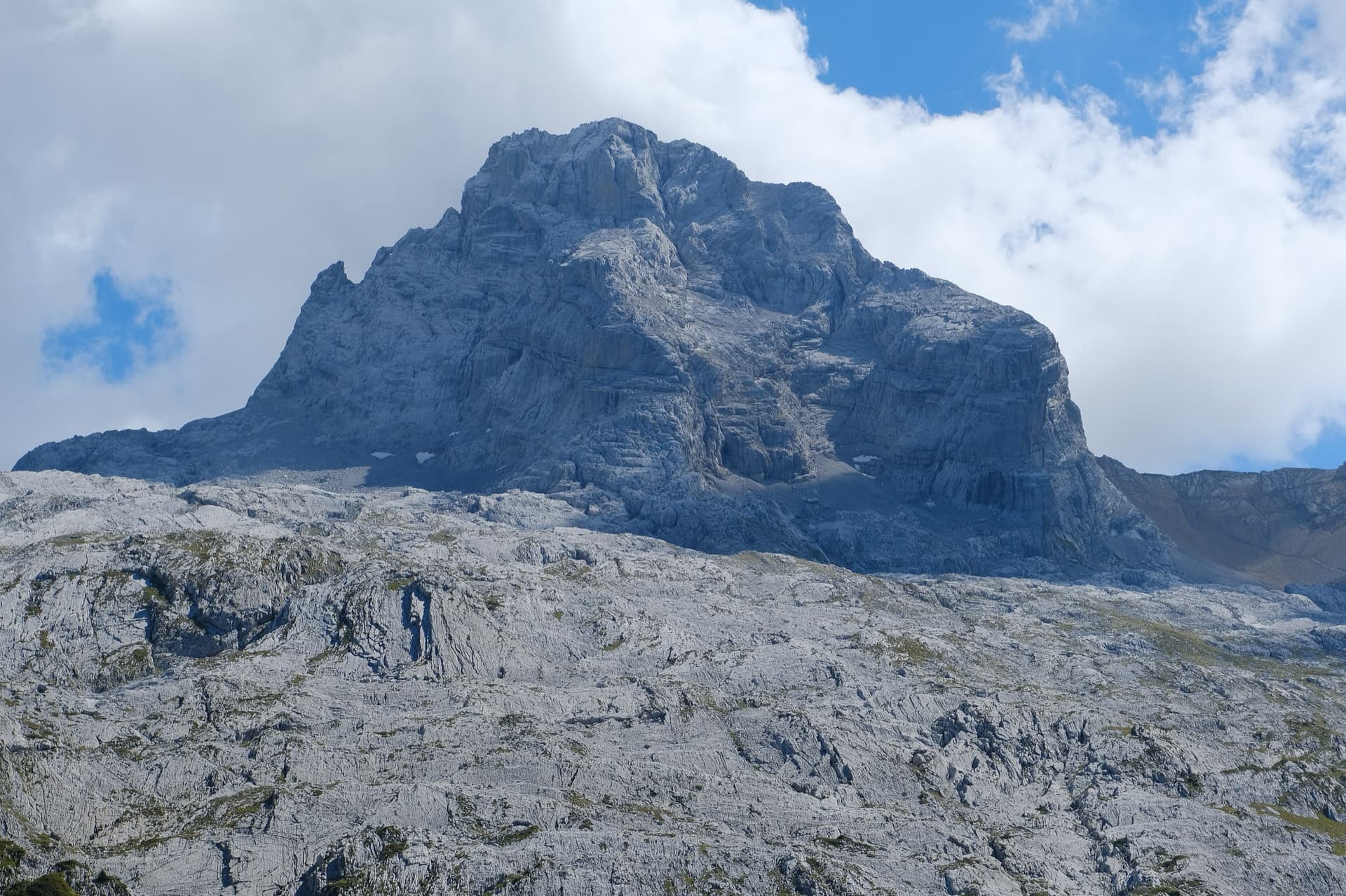
The Pointe Percée above the limestone pavement of the Gramusset plateau, seen from the north-west; Le sirop pour machin starts from the crags near the hut and finishes on the summit, the exact line is not marked.

France · Aravis

Le sirop pour machin

An introduction to mountain multipitch that tops out right under the summit cross of the highest Aravis peak. Grippy fluted limestone is linked by cairned walking sections, and the last pitches are the best.

5b+11 pitches400 m
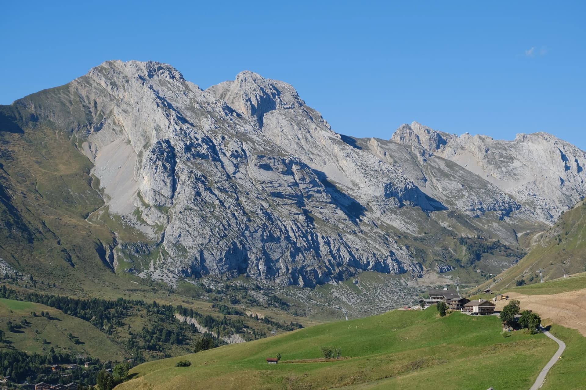
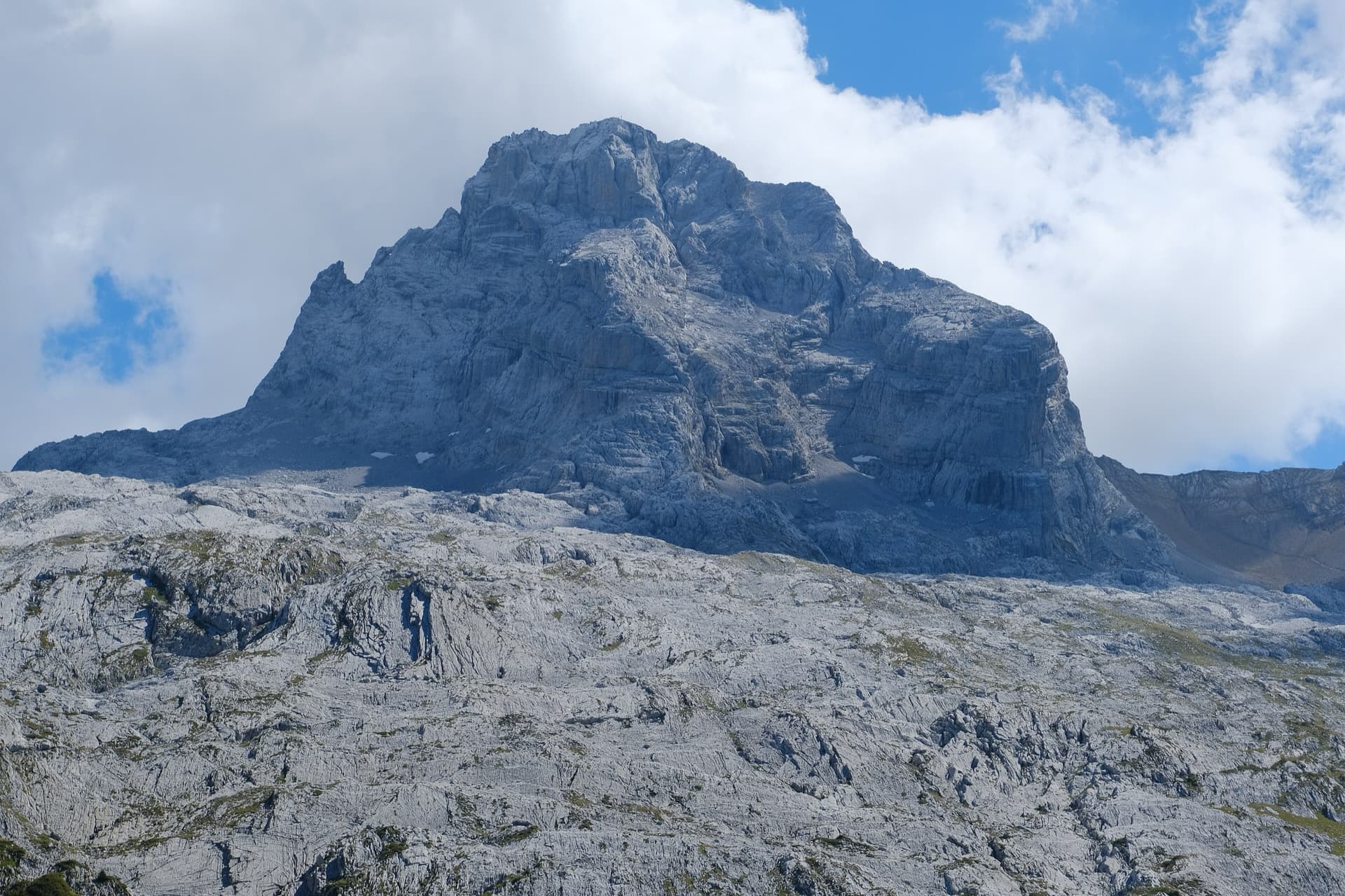
The south face of the Pic de Jallouvre (left summit) and the Pointe Blanche above the chalets of Le Grand-Bornand, on the road to the Col de la Colombière; the Voie des Cristaux climbs the right-hand side of the Jallouvre face.

France · Aravis

Voie des Cristaux

Sixteen pitches of easy slabs and water-worn runnels above the Col de la Colombière, on the border between scrambling, climbing and mountaineering. Nothing is harder than 4b and most of it is grade 3, on sculpted, grippy limestone among ibex and edelweiss. Many parties carry on up the Arête des Bouquetins to the summit for a very long day.

4b16 pitches400 m

The north-west face of the Pointe Percée rising above the limestone pavement of the Gramusset plateau, seen from the Col des Annes side; Heididoune climbs this face to the summit, the exact line is not marked.

France · Aravis

Heididoune

A ten-pitch line to the summit of the Pointe Percée, the high point of the Aravis, following green hangers up the cool north-west face. Seven long pitches, mostly easy with a 6a+ wall, reach the notch of the Arête du Doigt; three independent pitches finish it, including a memorable slab traverse of 6b+ that can be aided on the bolts.

6b+10 pitches400 m

Read the cautions

The first three pitches of the Arête à Marion drawn on the slab at the foot of the ridge, with the belays marked

France · Aravis

Arête à Marion

The classic easy ridge of the Aravis: three bolted slab and chimney pitches, then a long, airy limestone crest with Mont Blanc in view all the way. Most of it is grade 3 and is often climbed moving together. The steep scree of the approach and descent is the hard part of the day.

4c13 pitches300 m

Read the cautions

Around 6a · about 7 pitches

Similar elsewhere

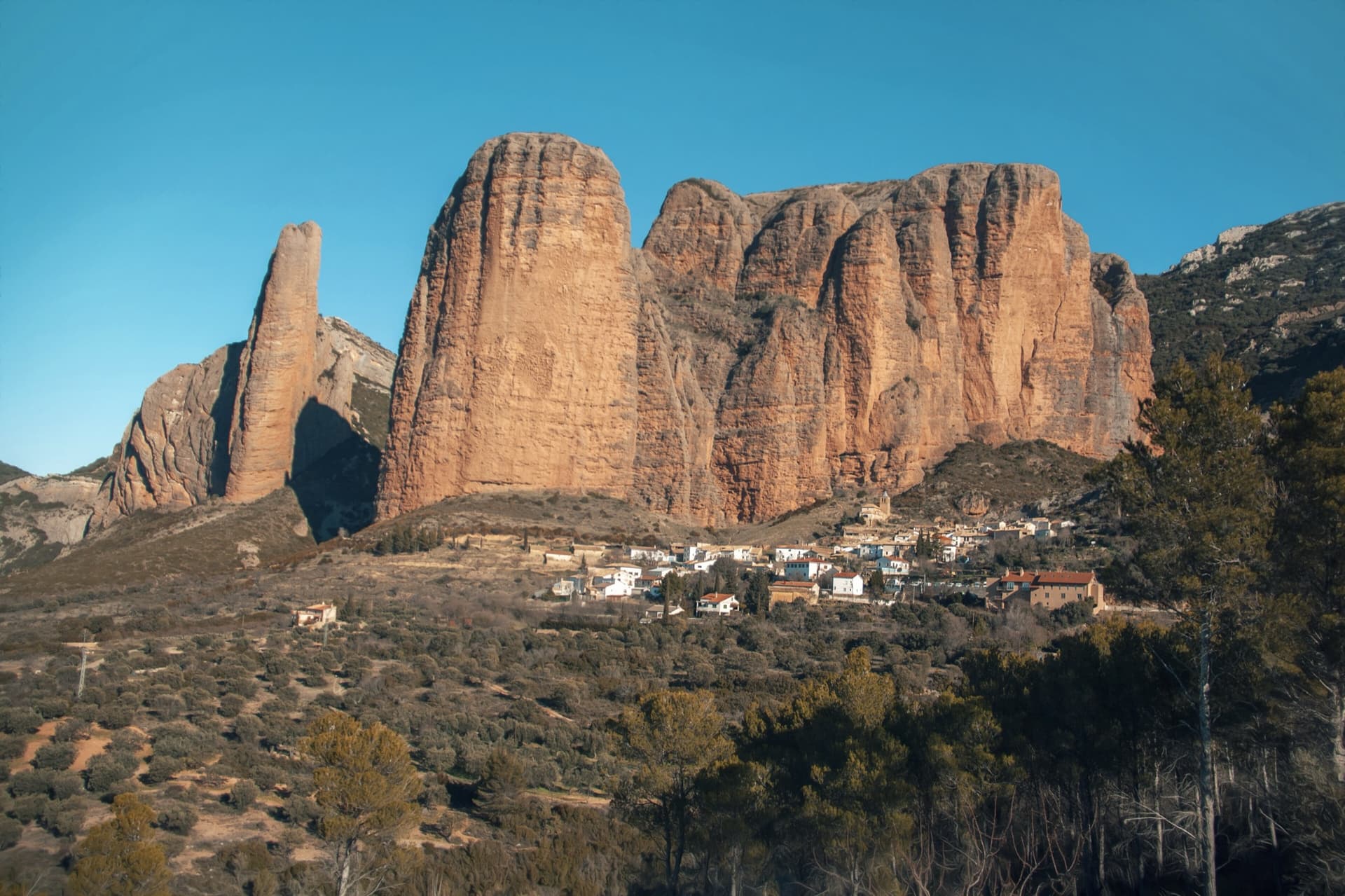
The classic view of Riglos from the south-west: the slender pinnacle of El Puro on the left, the great dome of Mallo Pisón beside it, and the main wall running right to La Visera above the village.

Spain · Riglos & Agüero (Mallos)

Espolón del Adamelo

This is the gentlest way to sample Riglos. Polished pockets and two bulging 'panzas' lead to a 6a crux that can be pulled through on the bolts (A0). The upper spur is easy, and the Pisón towers loom close by.

6a7 pitches175 m

Read the cautions

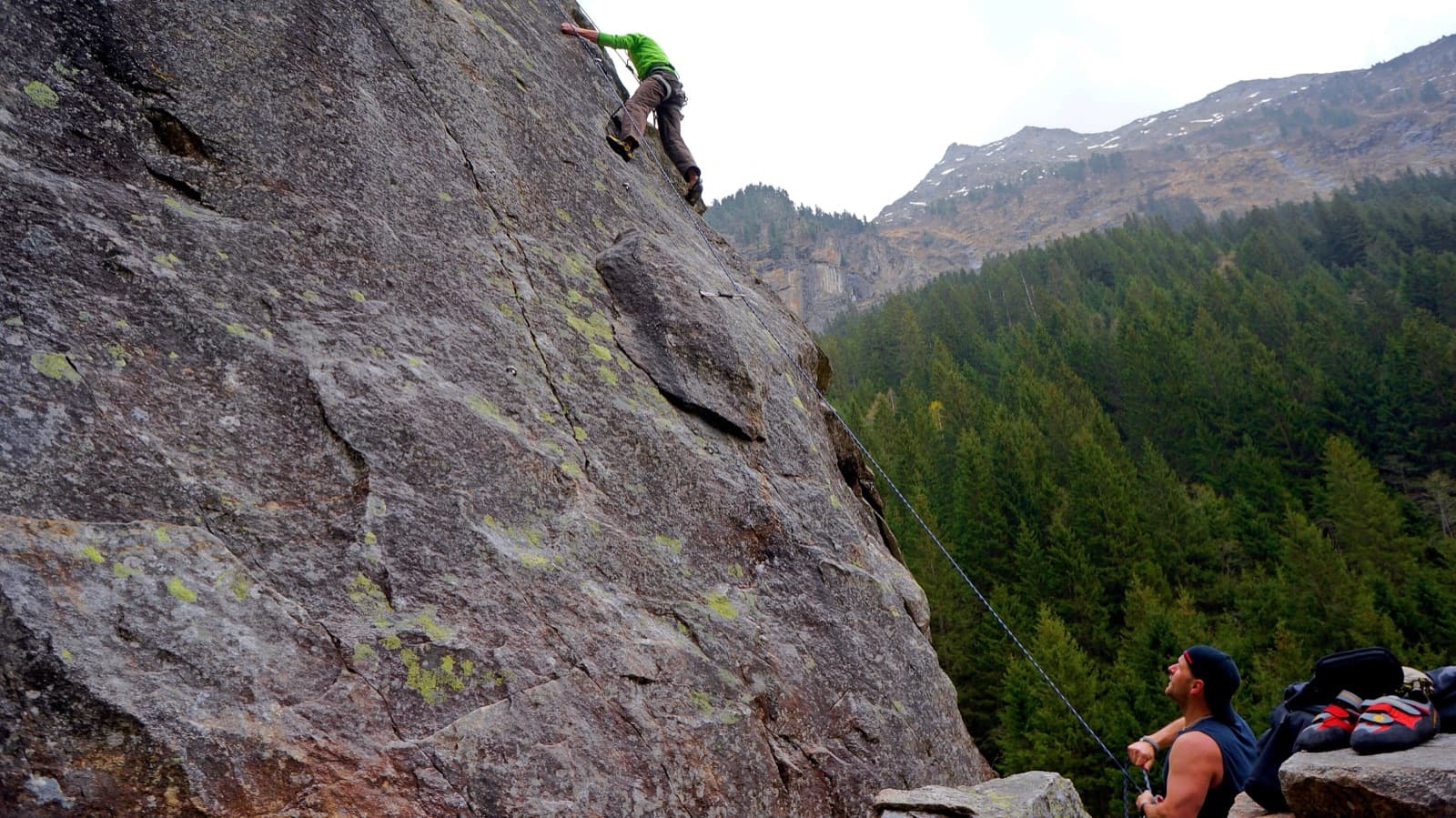
A view of the region, not this route's wall. Slab climbing at the Ewige Jagdgründe crag near Ginzling in the Zillertal; the Wiegelwand is the wall above this sector and is not in the picture.

Austria · Zillertal

Alpiner Spätaufsteher

A granite slab route beside a washed-out stream bed and a small waterfall, described as the new slab classic of the Zillertal. Mostly around UIAA 5 on fine slabs, with short harder passages and a 6/6+ exit. Never very exposed, with a view of the 3000 m peaks.

6a7 pitches255 m

Topo of Barabba on the Contrefort de Pré de Bar, Val Ferret

Italy · Aosta Valley

Barabba

A pretty plaisir route on edgy, quartz-studded granite slabs beneath the Mont Blanc massif. The crux is a short bulge and steep juggy wall on P4. Camptocamp rates it 'great'.

6a7 pitches180 m

The multipitch wall of Le Ponteil above Champcella

France · Briançonnais

La diagonale de gauche

The gentlest way up the big limestone wall of Le Ponteil: short walls and slabs that slant leftwards across the south-west facet, with a ledge walk in the middle. Most of it is 4b to 5c on very featured rock; one well-bolted move round a block gives the 6a. It gets better as it goes, and pitches 4 and 6 are the ones people remember.

6a7 pitches200 m

Compiled from published sources and last verified October 2026. Bolts, anchors and access change. Climbing is dangerous and you are responsible for your own decisions: check a current topo and read the disclaimer.