Spain · Collegats
Tanger
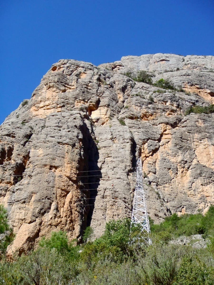
A consistent, well-bolted line starting with a crack under the big pylon. Ten pitches of 5b–6a+ are split by a 100 m scramble through a vegetated 'garden' before the final tier.
6a+10 pitches300 m
Read the cautions
Moles del Pessó · Collegats · Spain
Bail with caveatsBolting confidence: high
The friendly long route of Collegats: steep but juggy grey conglomerate above the Barranc de Sant Pere, with close bolts. It starts by squeezing between the wall and a leaning 50 m pinnacle, and saves its best for a sustained 40 m 6a wall at the top. A short garden pitch breaks the line before the finish.
The route
Performance climbs the south-west side of the Moles del Pessó, the conglomerate mass behind the Paret del Pessó, above the wild Barranc de Sant Pere. It is the most repeated long route in this corner of Collegats and the usual companion to Tanger: three 50 m pitches of grade 5 on excellent grey rock, a garden pitch, and a continuous 6a headwall. Every source describes the bolting as generous. The approach takes some finding and the descent is a long cairned walk with a chain section, so it is a fuller day than the 205 m suggest.
The climbing
| Pitch | Grade | Length | Bolts | Notes |
|---|---|---|---|---|
| P1 | 3 | 15 m | 0 bolts | From the foot of the wall scramble up and right through rock and vegetation towards a fig tree, into the gap between the wall and the pinnacle, where the first belay is. There are no bolts on this approach pitch (stated by a 2023 party). Luichy's topo marks it II, with a grade IV chimney option. |
| P2 | 5 | 50 m | – | The memorable pitch: up between the wall and the pinnacle, then a traverse left (4+) and straight up to the belay over a short bulge (5). A 2023 party thought it about 5b+ to 5c and easier if you are happy in corners and chimneys; a 2022 party watched a team ahead held up by the airy step. |
| P3 | 5 | 50 m | – | Straight up a steep wall covered in holds, a succession of short vertical steps. It is a full 50 m, so extend the quickdraws to keep the drag down. |
| P4 | 4+ | 50 m | – | Mostly slabby climbing trending right, then exit left. Luichy's topo gives IV+ to V. |
| P5 | 3 | 20 m | 0 bolts | A short transition through a garden: a little right, straight up, then left. Camptocamp says there is no protection on it; the Spanish text simply calls it a walk. The belay is above the highest, left-most tree. |
| P6 | 6a | 40 m | – | Leave leftwards from a distinctive roof (4+; ignore the bolts visible out right), climb a steep wall trending right (continuous 5+ to 6a), then pass a small overhang on the left. The belay is 10 m to the right once you are on the plateau. Sustained rather than cruxy; one French topo calls the route 6a+ overall. |
Getting there
From La Pobla de Segur take the N-260 north-east towards Sort into the Collegats gorge. About 100 m after the exit of the first tunnel there is a gap in the crash barrier on the left with room for two to four cars, at the sign for the Cova de la Serpent path. If it is full, park just before on the old road that bypasses the tunnel on the outside. There is a campsite at the gorge entrance near La Pobla de Segur, which one party found closing for the season in early November.
About 40 minutes (one party took 30). Follow the signed Cova de la Serpent path (yellow marks) up to the saddle with two electricity pylons that you can see from the parking. Beyond the saddle the path drops about ten metres into a first gully, then passes the cave. Keep on the level path for roughly another 300 m, about ten minutes past the cave, to an isolated clump of trees clearly taller than the surrounding scrub on the left of the path, and go round the rock spur ahead on the right. Behind it the upper Barranc de Sant Pere opens below you. Go up slightly into the wide gully; the route is on the right-hand wall, marked by a pinnacle 40 to 50 m high leaning against the foot of the face. Leave the path through the bushes for the left-hand base of the pinnacle. You can also start on the right of the pinnacle, but the way there is thornier. Two 2022 and 2023 parties found the published approach description too brief, so allow time.
Loading map
The point marks the crag, not the exact start of the route.
Parking
Small pull-in between the tunnels at the Cova de la Serpent path (camptocamp access waypoint 207056, Congost de Collegats)
Point from camptocamp waypoint 696700 (Collegats - Moles del Pesso)
Contains the route point and parking. Opens in most mapping apps and GPS watches.
Points are compiled from published sources, with the precision stated above. They were not surveyed on the ground: check them against a current topo.
Coordinates: 42.28058, 1.02952 (crag) · Parking: 42.28611, 1.03667
Getting down
On foot, 1 hour to 1 hour 30. From the top a cairned path heads north across the hillside, then north-east, for 10 to 15 minutes. At a broad rock spur that overlooks the two-pylon saddle, turn right (east) onto the spur. Both directions are cairned here and it is easy to carry straight on by mistake. Follow the cairns down the spur to the chains and fixed ropes, which lead down to the saddle, then return along the approach path. Keep helmet and harness on for the chains; one party strongly recommends staying roped there because of the risk of a slip or of stones from above. A 2014 report describes the fixed lines as renewed, with doubled ropes and new rungs.
Retreat
Bail with caveats
Retreat is possible but not set up. Camptocamp and the French topo both say the belays are not linked and not equipped for abseiling, and the normal way off is the walk from the top. With pitches of 50 m you would need two ropes, or to abseil in short stages off single bolts, and you would leave gear at every stance.
Partly inferred from the route facts
Safety
Sun and weather
South-west and south facing at about 600 m, so it gets the sun when the north-east facing Paret del Pessó is cold; parties who found Tanger in the shade in late October and November came here instead. Trip reports are from April, May, October and November. One party was wary after heavy rain but found the rock fine.
Sun on the wall · SW-facing
Working out the sunlit hours for this month.
Sun on the wallDaylight, wall in shade● Usual season
Estimated from the wall's aspect only. Ignores surrounding terrain, gullies and the wall's exact shape. Clock times are local to the wall (Central European time), for the 15th of each month.
| Measure | Jan | Feb | Mar (usual season) | Apr (usual season) | May (usual season) | Jun | Jul | Aug | Sep | Oct (usual season) | Nov (usual season) | Dec |
|---|---|---|---|---|---|---|---|---|---|---|---|---|
| Mean daily high °C | 9 | 10 | 13 | 16 | 20 | 24 | 27 | 27 | 23 | 18 | 12 | 9 |
| Mean daily low °C | −1 | −1 | 2 | 5 | 9 | 13 | 16 | 16 | 12 | 8 | 3 | −0 |
| Rain days 1 mm or more | 7 | 6 | 9 | 12 | 12 | 9 | 7 | 9 | 9 | 9 | 8 | 6 |
● marks the usual climbing season. Averages for 1991-2020 at about 735 m. Area climate from Open-Meteo reanalysis. Temperatures are adjusted to the height of the crag; rain comes from a grid cell of about 10 to 25 km, and summer highs on sea cliffs can read a few degrees low. The wall and valley can differ. Data: Open-Meteo, CC BY 4.0.
What to carry
12 to 13 quickdraws, some of them long, plus belay kit. No cams or nuts are needed according to all three topos. No source states a rope length: the pitches are quoted at 50 m and the descent is on foot, so a single rope with some margin over 50 m is the logical choice (inferred). Helmet; gloves are useful on the chains.
Derived from the route data; check it against a current topo
From climbers
Reader reports are not being collected yet. Until they are, check a current topo and the local club or guidebook publisher for recent changes to Performance.
Worth knowing
Open questions
Provenance
Same area
Spain · Collegats
A consistent, well-bolted line starting with a crack under the big pylon. Ten pitches of 5b–6a+ are split by a 100 m scramble through a vegetated 'garden' before the final tier.
6a+10 pitches300 m
Read the cautions
Spain · Collegats
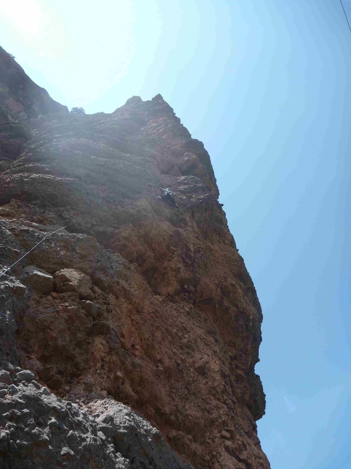
Four steep pitches up the pinnacle that leans against the Paret del Pessó, five minutes from the car. Rounded bulges and big holds in the style of Riglos: an athletic first pitch, an overhanging jug traverse, then easier bellies to the top.
6b4 pitches125 m
Spain · Collegats
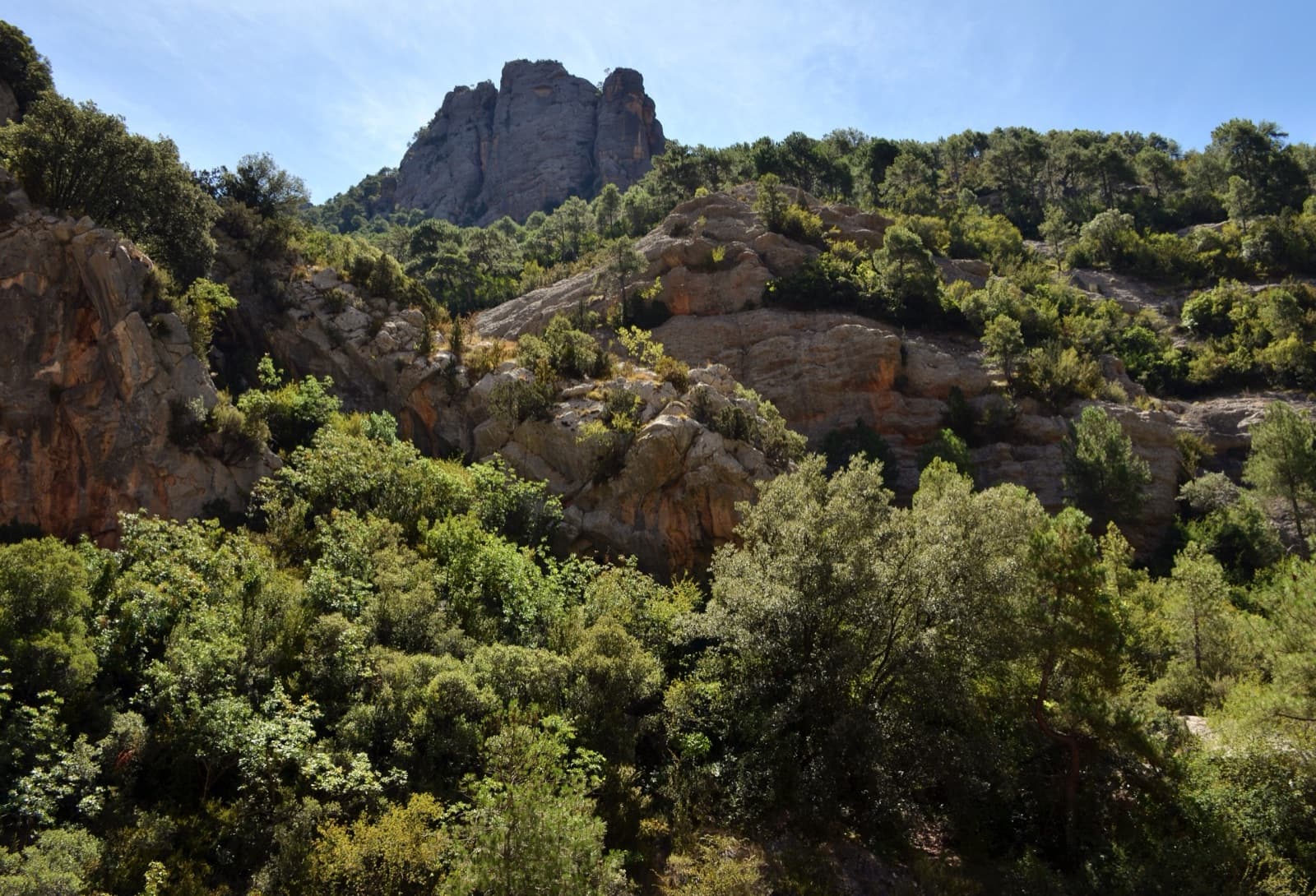
The right-hand line on the Agulla del Gos: a short, punchy first pitch that is harder than its guidebook 6a+, then a chimney and easier walls to the top of the pinnacle. Best climbed as a pair with Matute.
6b+4 pitches140 m
Read the cautions
Around 6a · about 6 pitches
Croatia · Omiš
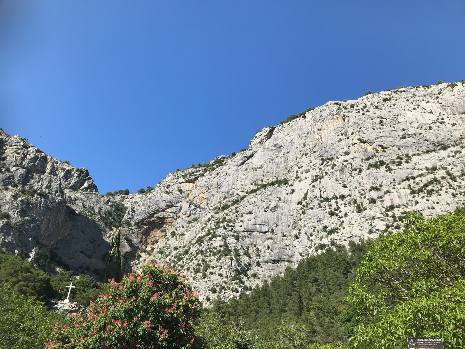
Omiš's signature moderate: long, slabby pitches on knobbly grey limestone with big views over the Cetina mouth and the Adriatic. The crux is a short crack on the final pitch.
6a6 pitches230 m
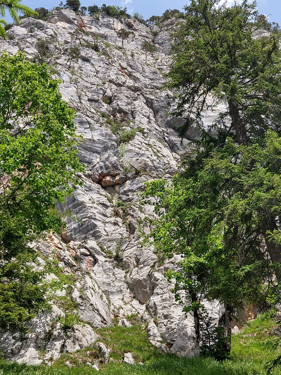
Germany · Berchtesgaden & Bad Reichenhall
Six pitches on excellent grippy limestone with views to the Watzmann, established 2012. Pitch grades are converted from the UIAA topo (6-, 6, 6, 5+, 5+, 6); 5 is obligatory.
6a6 pitches165 m
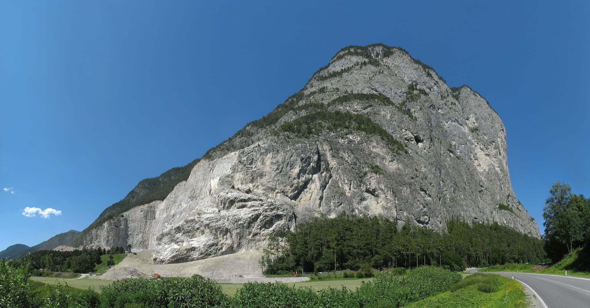
Austria · Karwendel (Innsbruck Nordkette)
Easy slab climbing straight up the plate zone below the 'Ostrisswald' on the Martinswand plinth, broken by a few ledges. Mostly UIAA 4 to 5, with an overhang on pitch 2 and the 6a crux on the long last pitch.
6a6 pitches200 m
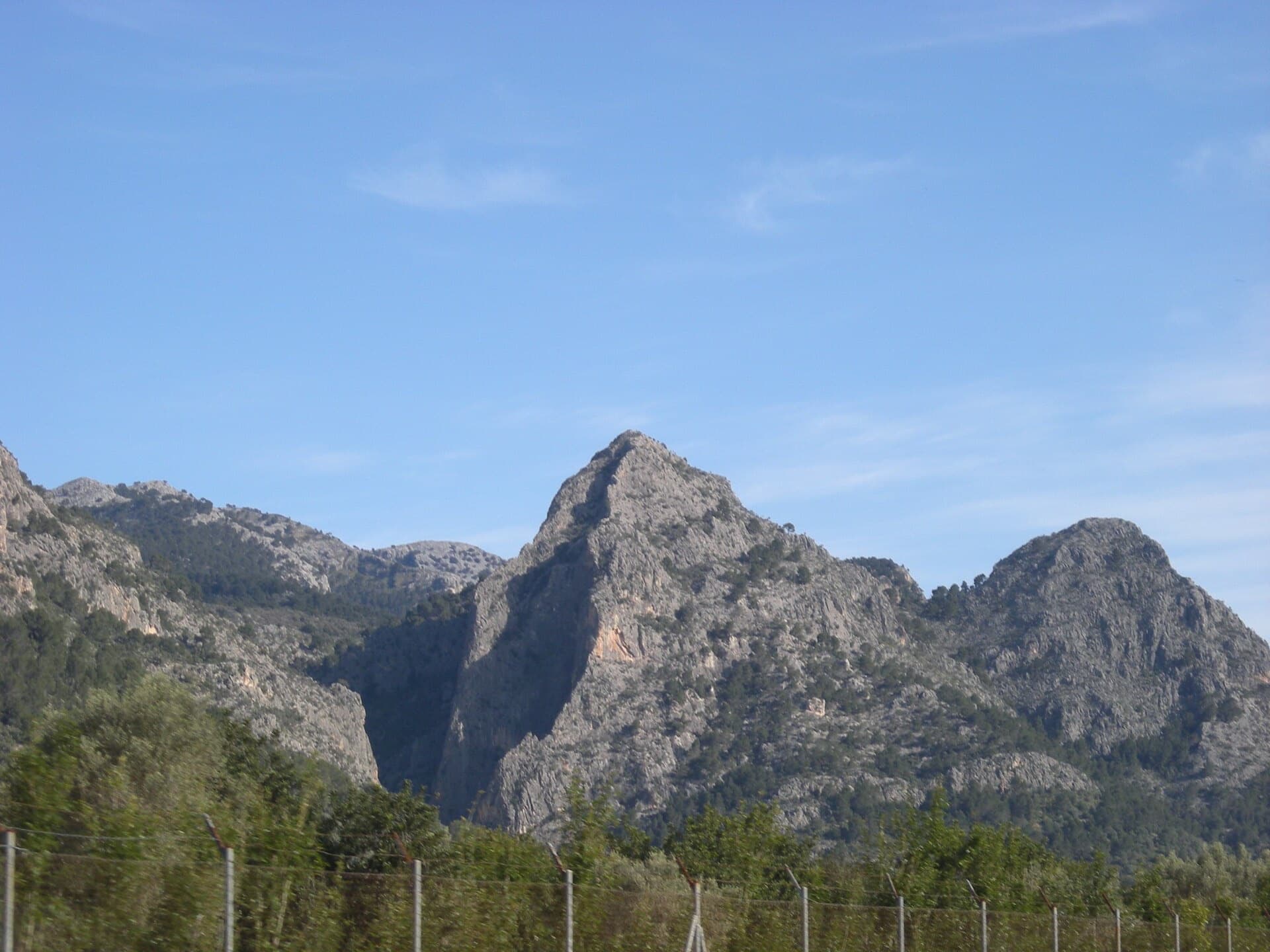
Spain · Mallorca (Sa Gubia)
A steady 6a sport line, the first bolt line right of the open-book corner on the Bomberos wall. A harder P2 variation ('Sonrisa Vertical') is available.
6a6 pitches152 m
Compiled from published sources and last verified October 2026. Bolts, anchors and access change. Climbing is dangerous and you are responsible for your own decisions: check a current topo and read the disclaimer.