Multipitch Atlas

Torrijo

El Tobazo south face, Rioseta (Canfranc) · Aragonese Pyrenees (Tena & Canfranc valleys) · Spain

Bail with caveatsBolting confidence: high

The left-hand line on the south face of El Tobazo, similar in style to its neighbour Valle de Canfranc and a little shorter. Easy slabs and grassy steps lead to the two pitches that matter: a short vertical wall of 6b that almost everyone aids on the bolts, and a friction slab of 6a where you have to trust your feet between bolts. Very closely bolted throughout, with loose stones on the terraces.

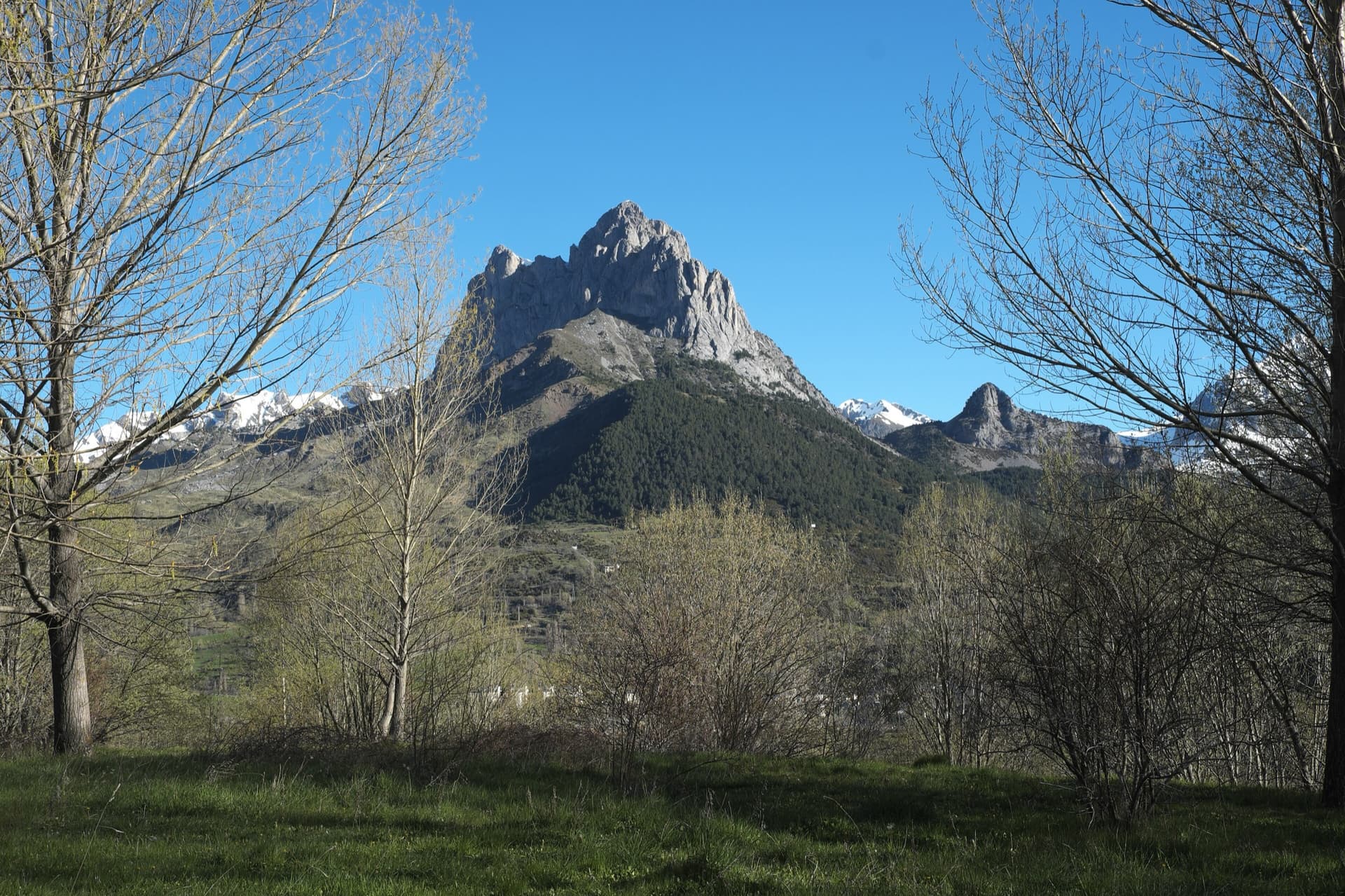
The south face of El Tobazo above Rioseta with its four bolted lines; Torrijo is line 01, on the leftPhoto: janic · CC BY-SA 3.0

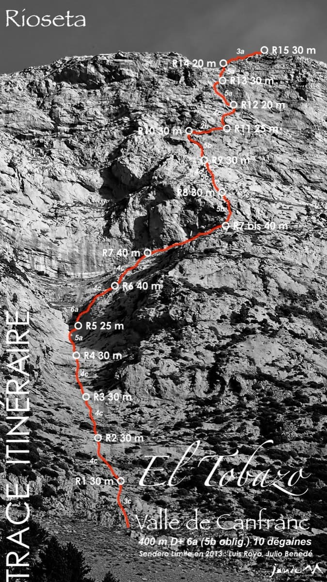
Topo

The south face of El Tobazo above Rioseta with its four bolted lines; Torrijo is line 01, on the leftPhoto: janic · CC BY-SA 3.0
Hardest pitch
6b
Pitches
10
Length
400 m
Approach
40 min
Aspect
S
South-facing
Rope
1×60 m to climb
(the first two pitches are 60 m); 2×60 m for the abseil retreat

The route

Overview

Torrijo climbs the left side of the big south face of El Tobazo (1986 m), above the Rioseta military camp on the road from Canfranc to Candanchú. It is a mountain-style route in two parts. Pitches 2 to 7 are on good limestone, with vertical steps and friction slabs; the last three pitches are easier, grassier and need care with loose rock. The two hard pitches come together in the middle: pitch 6 starts with an eight-metre wall of about 6b, bolted every half metre, and pitch 7 has a wide slab of balance climbing that repeat parties grade a solid 6a. There is little sense of exposure and every belay is on a comfortable ledge.

The climbing

Pitch by pitch

Pitches of Torrijo
PitchGradeLengthBoltsNotes
P13b60 m3 boltsGrassy steps with an occasional slab. It can be avoided by walking up the grassy ledges on the left. The bolt count is approximate: the party that reported it skipped this pitch.
P24a60 m6 boltsGrassy steps (2 bolts) to a wide level area, then a very easy-angled friction slab (4 bolts) left of a corner. This pitch was running with water two days after heavy rain in October 2023.
P35c35 m8 boltsAn easy slab, then a slab with some thin friction moves, very well bolted. Belay 5 m left of the corner. camptocamp grades it 4+.
P45b25 m10 boltsA vertical corner with holds (5 bolts), a small roof on good holds helped by a pine, then a vertical wall with good holds. Can be linked with pitch 3. The corner seeps after rain. camptocamp grades it 5+.
P54b35 m10 boltsLeave the belay to the right: an easy-angled slab with a few friction moves, then steps.
P66b45 m22 boltsThe crux: an eight-metre vertical wall. The first three or four bolts go free without trouble; above that it is about 6b free, or comfortable A0 with the bolts half a metre apart. Then a kind of corner and steps at 4b to 4c with a short move of 5a, and a last 15 m of easy grassy ramp. Some topos give 6c. A wide grass ledge leads off left from the belay as an escape.
P76a30 m14 boltsA steepish wall on holds for the first five bolts, then a hard pull onto a broad slab climbed on friction: many small sloping ledges, good for feet and useless for pulling. You climb between the bolts and the crux move is above one, so it cannot be aided, but the bolts are never more than about 2 m apart. The Escalando blog lists this pitch as 4c.
P84b20 m6 boltsGrassy steps, a flake and a short slab to a pine; belay a few metres right of it on a wide ledge. Watch the rock.
P94b25 m7 boltsSteps with a steeper slab to a grassy area below a big roof, avoided on its right. The sixth bolt is in a large block that did not inspire confidence; better left unclipped. Can be linked with pitch 8.
P104c30 m3 boltsA grassy ramp, then a rock spur with a short vertical section.

Getting there

Approach

To the parking

From Canfranc Estación take the N-330a towards Candanchú. At a sharp right-hand bend you pass the Rioseta military installation. There is a small parking area for four or five cars on the right of the bend, and a larger shaded one on the right about 100 m before it.

On foot · about 40 min

35 to 45 min. Cross the road and skirt the military installation to the path that climbs towards Tucablanca between two pine woods, following a power line. Go up to the electricity pole numbered 8, continue about 50 m towards the next pole to some large cairns at the edge of the path, and leave the path there, heading right to the scree. Cross it and follow the path along the foot of the wall to a bolt with a tape carrying the route name, or the name on the rock. camptocamp places the start about 50 m left of Valle de Canfranc.

Map of the walk-in

  • Crag
  • Parking

Loading map

The point marks the crag, not the exact start of the route.

Coordinates · crag

42.77280, -0.52772

Parking

42.77300, -0.51899

Rioseta military camp bend (camptocamp access waypoint 554640)

Point from Base of the neighbouring route Valle de Canfranc (camptocamp route 554511 GPS track); camptocamp places the start of Torrijo about 50 m to its left

For your phone or watch

Download GPX

Contains the route point and parking. Opens in most mapping apps and GPS watches.

Points are compiled from published sources, with the precision stated above. They were not surveyed on the ground: check them against a current topo.

Getting down

Descent

From the last belay look left towards the Tucablanca huts of the ski area. Beyond a big fall of red rocks there is a bright green grass slope with a zigzag path on it. Take that path, which is a little overgrown but clear, down to the main path from Rioseta to Tucablanca, and follow it to the car: about 1 h. camptocamp gives two variants, by the ski pistes to the north or west to a track and then south on a small path from some wooden snow fences; one party took 1 h 30 by the longer loop.

Retreat

Bailing off the route

Bail with caveats

The route is set up to be abseiled with 60 m ropes from the chained belays at R2, R4, R6 and R8. Before pitch 7 you can also walk off left along a wide grassy terrace. From the top of pitch 8 onwards the sources say it is better to finish.

Retreat from
R2, R4, R6 and R8 by abseil; the grass ledge at R6 on foot
Point of no return
The top of pitch 8, after which topping out is advised
Carry
2×60 m ropes for the abseils
Basis
Stated in the sourcesStated on the Escalando blog (2016).

Safety

Hazards

  • Loose stones lie on the ledges throughout, more than on Valle de Canfranc. In 2023 a shoebox-sized block came away under a leader on the second-last pitch and just missed the belay. Do not start below another party.
  • The sixth bolt of pitch 9 is in a doubtful block.
  • Seepage on pitches 2 to 4 after rain.
  • Heat and no shade in summer.
  • On pitch 9 keep right where the line forks; the 2023 leader strayed too far left onto loose ground.

Sun and weather

Conditions

South facing, from about 1580 m to the 1986 m summit, in the sun from early morning: choose a day that is not too hot or start early, and carry plenty of water. The many earthy ledges feed seeps, so the lower pitches need a few dry sunny days after heavy rain. It has been climbed from late June to late October; the October party climbed in down jackets.

Usual season · Jun to Oct

Sun on the wall · S-facing

Working out the sunlit hours for this month.

  • January: not yet worked out
  • February: not yet worked out
  • March: not yet worked out
  • April: not yet worked out
  • May: not yet worked out
  • June (usual season): not yet worked out
  • July (usual season): not yet worked out
  • August (usual season): not yet worked out
  • September (usual season): not yet worked out
  • October (usual season): not yet worked out
  • November: not yet worked out
  • December: not yet worked out

Sun on the wallDaylight, wall in shade● Usual season

Estimated from the wall's aspect only. Ignores surrounding terrain, gullies and the wall's exact shape. Clock times are local to the wall (Central European time), for the 15th of each month.

Monthly climate averages for Aragonese Pyrenees (Tena & Canfranc valleys), 1991-2020
MeasureJanFebMarAprMayJun (usual season)Jul (usual season)Aug (usual season)Sep (usual season)Oct (usual season)NovDec
Mean daily high °C447914192222171375
Mean daily low °C−3−3−11591112850−2
Rain days 1 mm or more141314181816141413141413

● marks the usual climbing season. Averages for 1991-2020 at about 1564 m. Area climate from Open-Meteo reanalysis. Temperatures are adjusted to the height of the crag; rain comes from a grid cell of about 10 to 25 km, and summer highs on sea cliffs can read a few degrees low. The wall and valley can differ. Data: Open-Meteo, CC BY 4.0.

What to carry

Gear

18 to 20 quickdraws and material for the belays; several draws can be recovered on pitch 6 and when linking 3 and 4. A 60 m rope. Cams and nuts are not needed. Helmet.

Checklist

Quickdraws
18
Rope
1×60 m to climb (the first two pitches are 60 m); 2×60 m for the abseil retreat
Helmet
One each

Derived from the route data; check it against a current topo

From climbers

Reader reports

Reader reports are not being collected yet. Until they are, check a current topo and the local club or guidebook publisher for recent changes to Torrijo.

Worth knowing

Tips

  • Aid pitch 6 on the bolts and the obligatory grade is about 5c to 6a, set by the slab on pitch 7.
  • The first two pitches can be climbed in approach shoes, and pitch 1 can be walked round on the left.
  • Allow about 4 h for the climb.

Open questions

Where sources disagree

  • Pitch 7: 6a on camptocamp and for parties in 2022 and 2023, who say it cannot be aided; the Escalando blog's pitch list gives 4c while its text describes a fine friction slab.
  • Pitches 3 to 5: 4+, 5+, 5- on camptocamp against 5c, 5b, 4b on the Escalando blog.
  • Pitch 6: 6b on camptocamp and Escalando; a 2022 party mentions topos that give 6c and found it harder than 6b.
  • Length: 400 m on camptocamp, 375 m on the Escalando blog (whose pitch lengths add up to 365 m).

Provenance

Sources

Same area

More in Aragonese Pyrenees (Tena & Canfranc valleys)

All routes in Aragonese Pyrenees (Tena & Canfranc valleys)
The twin limestone summits of Peña Foratata above the forest, seen from Sallent de Gállego in spring.

Spain · Aragonese Pyrenees (Tena & Canfranc valleys)

La Joya del Gállego

Varied, sustained limestone of chimneys, dihedrals and compact fluted slabs high above the Tena valley. Bearded-vulture nesting closes the face from 1 Dec to 31 Jul unless lifted early, so check montanaregulada.org.

6a+10 pitches265 m

Read the cautions
Topo of Valle de Canfranc on the south face of El Tobazo

Spain · Aragonese Pyrenees (Tena & Canfranc valleys)

Valle de Canfranc

A long, mostly easy slab-and-dihedral route with a single 6a slab on pitch 6, in a fine setting facing away from Candanchú. Wait about 30 h after rain because the lower gully drains water.

6a15 pitches400 m

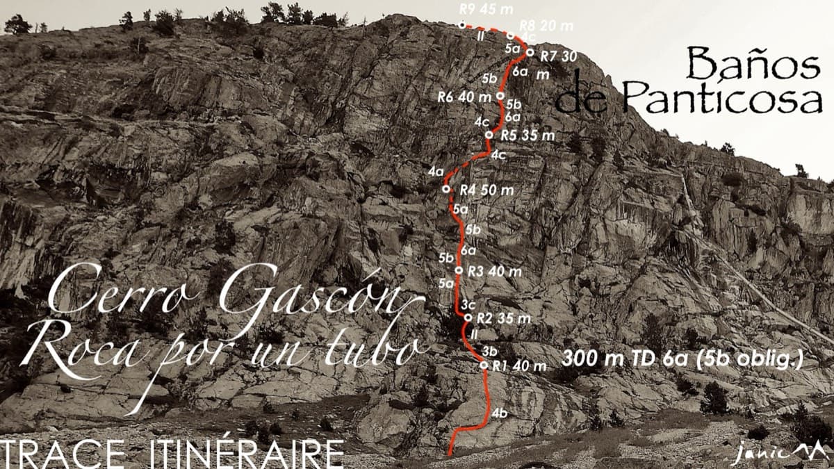
Topo of Roca por un Tubo, Pared de la Tubería (Cerro Gascón), Baños de Panticosa

Spain · Aragonese Pyrenees (Tena & Canfranc valleys)

Roca por un Tubo

High-mountain granite slabs and dihedrals above the Panticosa spa. Three 6a cruxes mix friction slab with a short flaky roof on pitch 7.

6a9 pitches300 m

Read the cautions

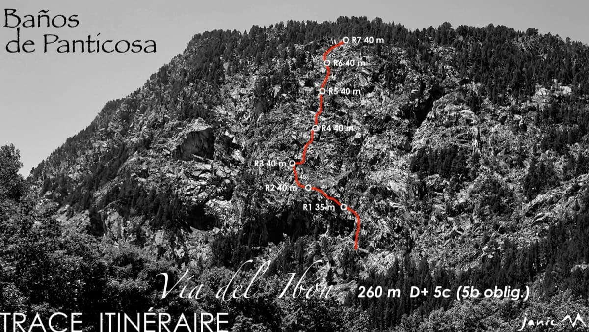
The Pared del Ibón above Baños de Panticosa with the line and belays of Vía del Ibón

Spain · Aragonese Pyrenees (Tena & Canfranc valleys)

Vía del Ibón

A mountain-style line on dark, weathered granite twenty-five minutes above the spa of Baños de Panticosa. It links ramps, a short overhanging break, slabs and a rounded boulder, with one well-bolted 5c move and the rest 4b to 5b. The rock between the good sections is earthy and lichenous, but the friction is excellent and the bolting generous.

5c7 pitches260 m

Around 6b · about 10 pitches

Similar elsewhere

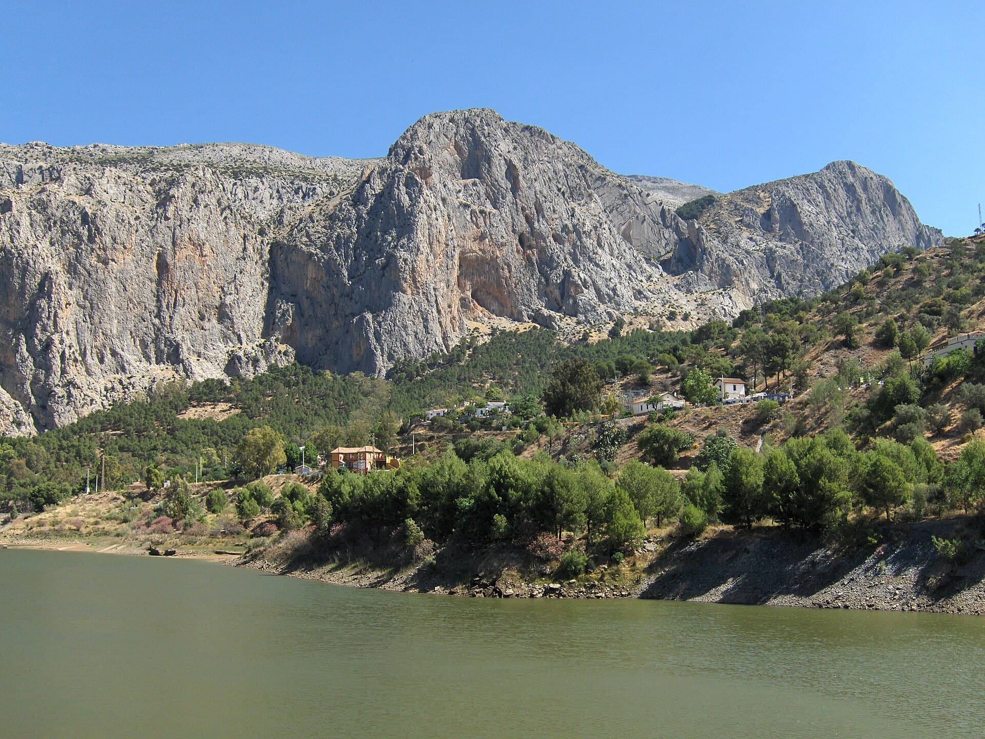
The Frontales cliffs above El Chorro seen across the Tajo de la Encantada reservoir, with the big Poema de Roca cave at the foot of the central dome. The Solarium sector is towards the right-hand end of the cliff; the line is not marked.

Spain · El Chorro

Estrella Polar

Ten varied pitches on good rock in a superb position: a roof, slabs, a tenuous traverse by a cave and a steep corner. Several pitches feel stiff for the grade, especially the P2 crux.

6b10 pitches279 m

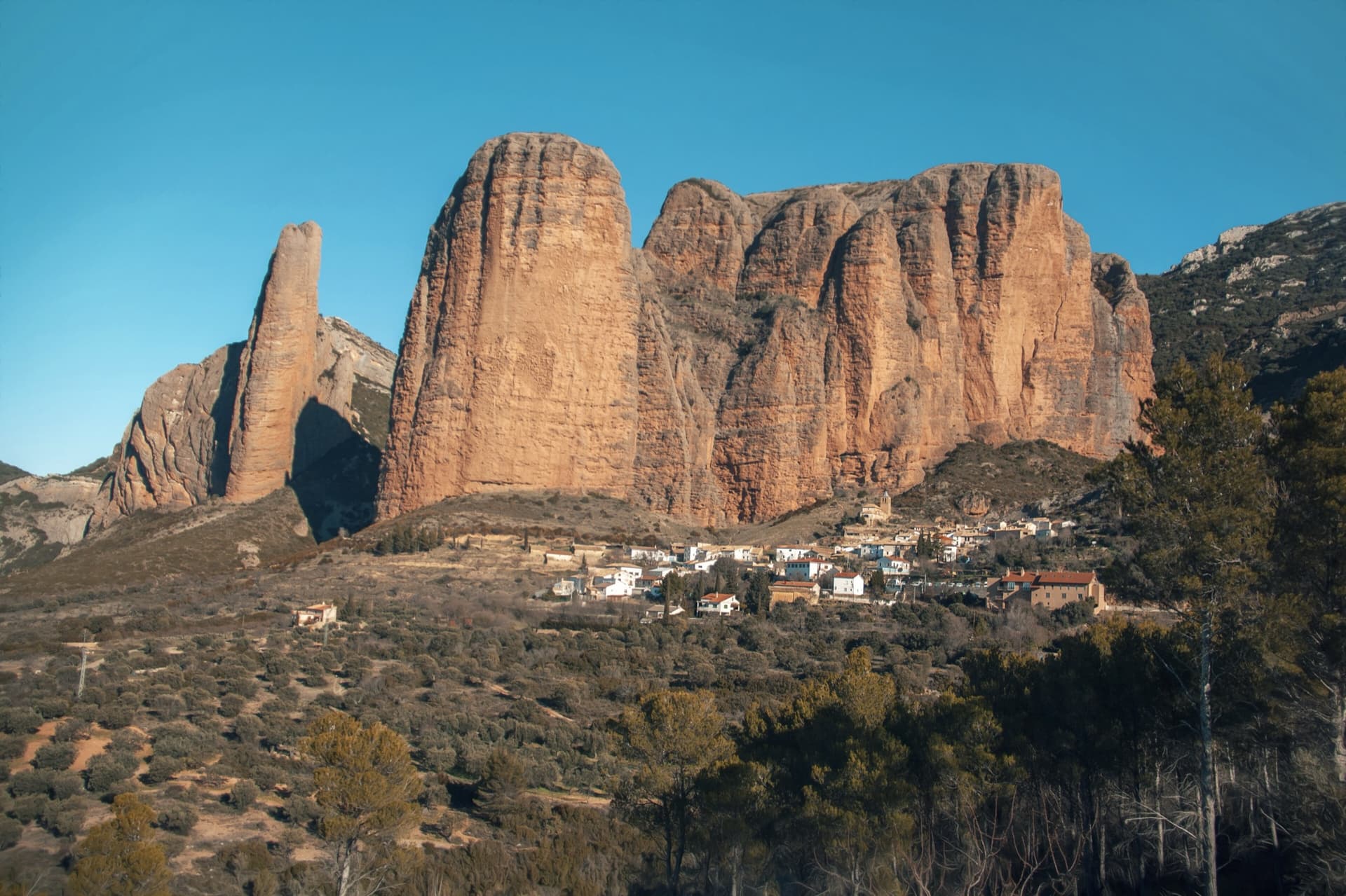
The classic view of Riglos from the south-west: the slender pinnacle of El Puro on the left, the great dome of Mallo Pisón beside it, and the main wall running right to La Visera above the village.

Spain · Riglos & Agüero (Mallos)

Normal al Puro

The way up the detached cigar that is the symbol of Riglos, first climbed in 1953. A polished corner, then the chimney between the Puro and the Pisón, then three short pitches on the outside of the needle to a tiny summit. Very polished in the chimney and on the boulder moves. In shade most of the day.

6b10 pitches180 m

Read the cautions

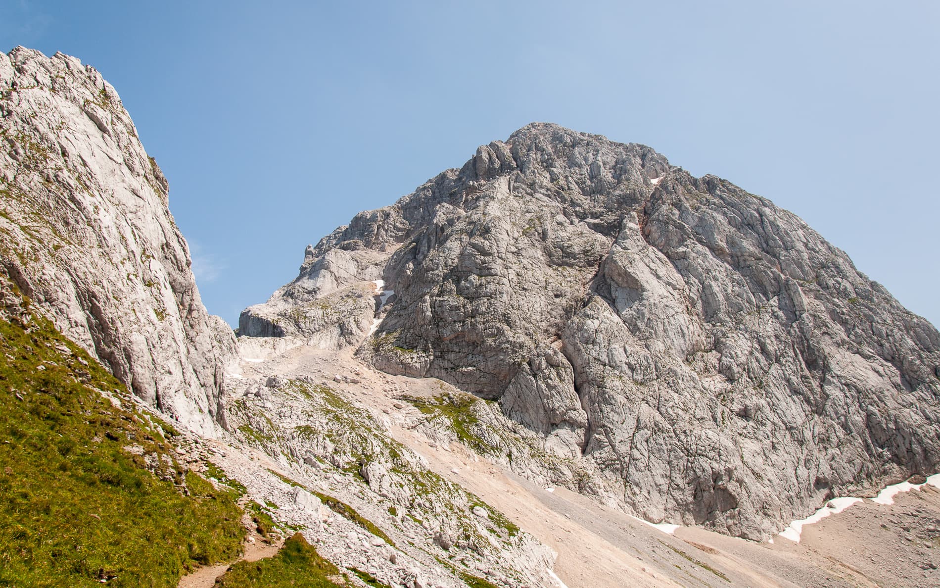
Mangart seen from the path above the Mangart saddle: the pale limestone dome that Briljantina climbs, above its scree apron.

Slovenia · Mangart (Julian Alps)

Briljantina

A long bolted climb up the west face of Mangart, starting at about 2,180 m and finishing near 2,580 m. Two 60 m pitches of 6a open the route and the first half is the best; a 6b corner that can be aided is the crux. An alpine outing with a tricky approach in cloud and rock that is not always perfect.

6b10 pitches400 m

Read the cautions

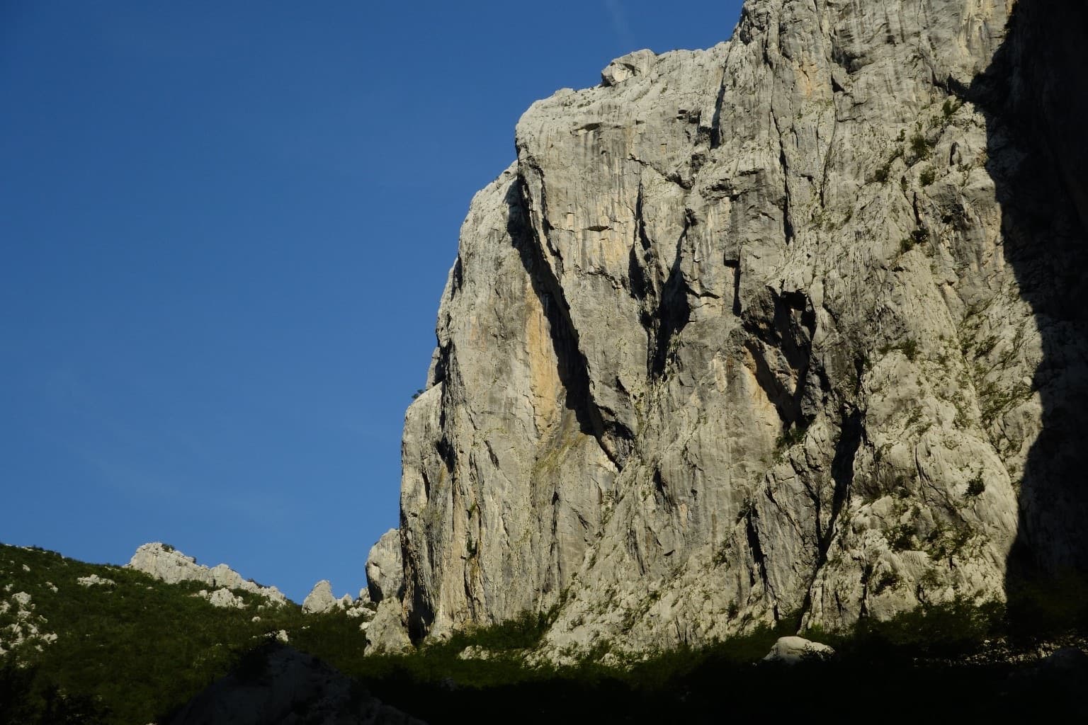
The north-west face of Anića kuk in evening light; the route is not marked.

Croatia · Paklenica

Besmrtnici

A modern line by B. Čujić and I. Matković up the full height of the Trapez sector of Anića kuk: ten pitches, 360 m, steady between 5c and 6b+. It starts right of the classic Mosoraški, crosses it in the upper middle part and finishes to its left. Slabs low down, then a vertical crack, superb vertical slab pitches, a huge corner with a chockstone and an exposed traverse.

6b+10 pitches360 m

Compiled from published sources and last verified October 2026. Bolts, anchors and access change. Climbing is dangerous and you are responsible for your own decisions: check a current topo and read the disclaimer.