Multipitch Atlas

Spelling need not be exact.

Espolón Guanchinfú

Peña Predicadera · Sierra de Guara (Peña Predicadera) · Spain

Bail with caveats

A friendly six-pitch line up a conglomerate spur, opened in 1985 and now well bolted throughout. Four pitches of slab and spur at 4a to 4c lead to the two best pitches: a bulge and fine groove at 5b, then a short leaning chimney at 5c that you climb in opposition. Superb grippy rock and wide views over the Vadiello reservoir.

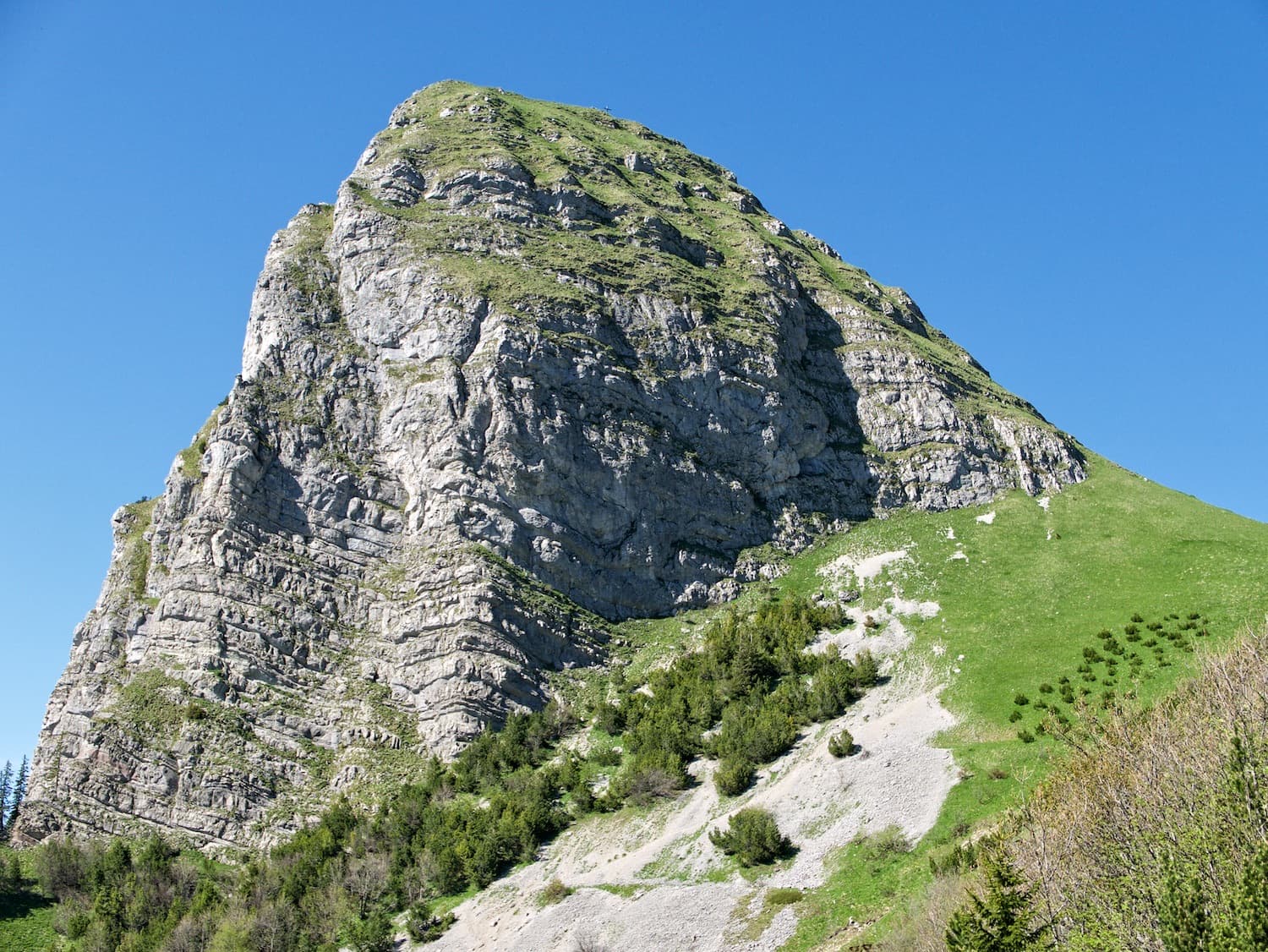
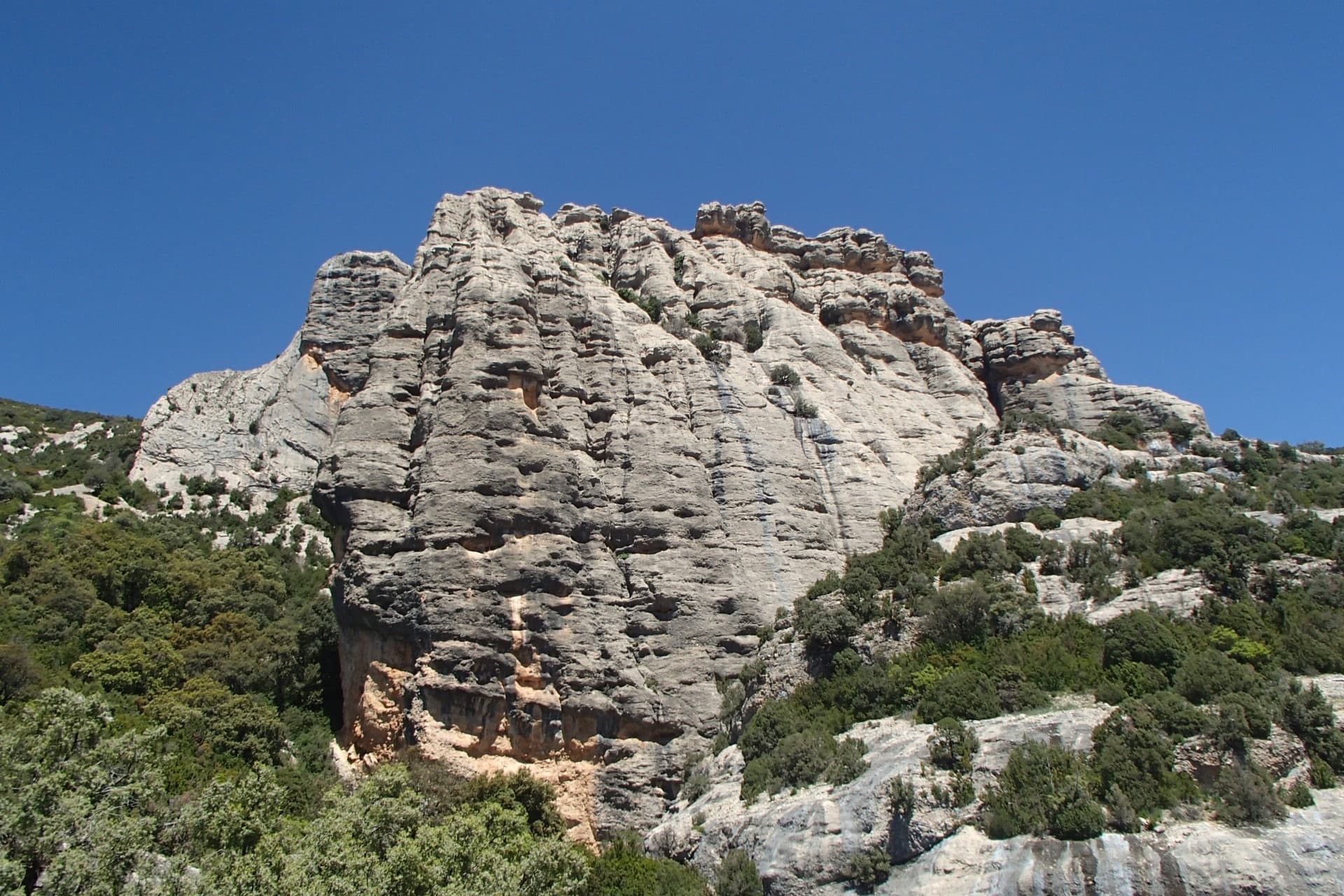
The main spur of Peña Predicadera seen from below, photographed on a 2024 ascent of Espolón GuanchinfúPhoto: K'ascade · CC BY-NC-ND 3.0

Photo

Hardest pitch
5c
Pitches
6
Length
175 m
Approach
40 min
Aspect
SE
South-east-facing
Rope
1×60 m
walk-off; longest pitch 35 m
Rock
conglomerate
Season
Mar to May, Oct to Dec
Bolting confidence
High
Last verified
October 2026 · Compiled from published sources

Overview

Espolón Guanchinfú climbs a spur a few metres left of the Espolón Starlux on Peña Predicadera, in six pitches and about 175 m. The first four pitches are slabs, short walls and an ascending traverse at 4a to 4c; the character changes on pitch 5, where a groove, a small bulge and a fine move into a left-hand channel make it the hardest pitch for many people, and pitch 6 finishes up a short, slightly leaning chimney. It is bolted throughout with parabolts and rigged belays, and recent parties praise the rock, the bolting and the views. Allow about 2 to 2.5 hours on the route and 4 hours car to car.

Worth knowing

  • Several starts lead onto the spur; the original one is marked 'VAR GUANCHINFÚ'. Where lines split, keep left: right is Aliana.
  • Pitch 6 goes at A0 on the bolts if the chimney feels awkward.
  • Allow 2 to 2.5 hours on the route and about 4 hours car to car (2019 and 2024 reports).
  • The route is short; fast parties combine it with another route on the crag, such as El Templo de los Sueños, which finishes at the same point.

Pitch by pitch

No topo we can show; see the sources.

Pitches of Espolón Guanchinfú
PitchGradeLengthBoltsNotes
P14a30 m8 boltsTwo slabs split by a ledge, starting on the right bank of the water channel, with a slight traverse onto an overhung terrace and then straight up the spur. There are several possible first pitches here, including a slightly harder variant (V-) on the left; all lead to the same spur. IV in Spanish topos.
P24b30 m5 boltsA wide slab and a short wall separated by easier ground; one move out right above the second bolt. If in doubt at a junction, keep left: the line to the right is Aliana. IV in Spanish topos.
P34b30 m5 boltsAscending traverse left across the water channel, ignoring the tempting ledge, to a belay well to the left after the gully. Not hard, but the bolts at the start are spaced and you would hit a broad ledge if you fell before clipping the third. Water may run here after rain. IV/IV+ in Spanish topos.
P44c35 m6 boltsUp the spur: a slab, a step, an easier section, then a short vertical wall with good holds just below the belay, which holds the move of the pitch. IV+ in Spanish topos.
P55b30 m9 boltsSlab, then a wide groove to a small, closely bolted bulge that goes more easily on its right than it looks. Step into the channel on the left (the bolted one); a couple of delicate moves are needed to clip the next bolt, which is a little out of reach, then it eases to the belay. Several parties found this harder than the last pitch. V/V+ in Spanish topos.
P65c20 m4 boltsEasy slab to the first bolt, a long step left into the line of the channel, then a short, slightly leaning chimney climbed in opposition, well bolted, with an old burillo bolt as well; a rucksack gets in the way. A block on the left helps you out. Belay on two bolts without rings on the summit block. V+ in Spanish topos; a 60 cm sling as an étrier is an optional help.

Approach

To the parking

From Huesca take the A-22 towards Barbastro and leave at the Liesa / Ibieca exit. Drive through Ibieca; a few kilometres on, at a junction, turn left and after about 50 m right onto a narrow paved road signed for the Presa de Guara (Calcón dam). After about 3 km, at a small roundabout, take the gravel track signed San Cosme for 2.8 km to the La Tejería car park, where barriers close the tracks. The track is in good condition. The car park has room for about 8 cars; cars parked outside the bays can be fined, it is on private estate land (Finca de San Cosme y San Damián), and estate guards have told people they may not sleep there. On fine weekends it fills up.

On foot · about 40 min

About 40 minutes. From La Tejería walk up the barred track ahead; after about 6 minutes you leave the wood and see the Vadiello reservoir. Turn right towards San Cosme y San Damián and follow the level track about 10 minutes to a signpost (Nocito, Ermita Fabana, San Cosme), then take a faint track right past two big holm oaks towards the wall. Where it ends, cross the stream bed and take the path on the left over two small steps with fixed ropes. For this route the shorter path (path 'A' on the Escalando map) leads into the gully: a short exposed traverse with a fixed rope reaches the base of Directa Eccos, and a short climb, also with a fixed rope, brings you to the start of Guanchinfú, a little lower than the Starlux start. The start is marked 'VAR GUANCHINFÚ' on the rock. Water can run down the gully after rain and make the approach awkward.

Map of the walk-in

Coordinates · crag

42.25561, -0.25178

Parking

42.24139, -0.24280

La Tejería car park at the end of the San Cosme track (camptocamp access waypoint 1115294; matches the point given by Komando Kroketa)

Point from camptocamp waypoint 765536 (Peña Predicadera)

For your phone or watch

Download GPX

Contains the route point and parking.

Points from published sources, not surveyed.

Descent

Walk off, about 1 hour (2023 report). From the top (El Pito) climb down the block to the north with the help of a knotted rope, go up the cairned slabs opposite bearing right, make a wide arc down into a channel and climb a slab with a second knotted rope, then follow the south-west-facing gully down a scree path in zigzags to a large boulder, pass it on the right, and the path leads to the approach track and back to La Tejería. The top part is well cairned, but a 2026 party lost the descent path lower down and ended up in scrub and scree. The belays (two parabolts with rings, except the top one) also allow you to abseil the route.

Bailing off the route

Bail with caveats

Retreat by abseil should be straightforward from most of the route: the belays are two parabolts with rings, which the 2017 topo says are there so the route can be abseiled, and no pitch is longer than 35 m. The pitch-3 traverse means the line of descent below belay 3 is not straight down, so abseiling from there may need care to reach belay 2.

Retreat from
Any belay from 1 to 5 (two parabolts with rings). The top belay has no rings.
Point of no return
None stated; above belay 5 only the 20 m last pitch remains and topping out to walk off is easier.
Carry
A rope that reaches 35 m when doubled (a single 70 m, or two ropes) to abseil in single steps; with a 60 m rope you would need to stop short on the 35 m pitch. Not documented by any source.
Basis
Part stated, part inferredRinged belays and the possibility of abseiling the route are stated by the Escalando topo; the rope length and traverse issue are inferred from the pitch lengths and line.

In an emergency · Spain

112Emergency

  • 062Guardia Civil mountain rescue

Position of the crag

42.25561, -0.25178

Marks the crag, not the route: give route and pitch.

Say what happened, how many are hurt, and where you are. Checked October 2026 (source).

Hazards

  • Pitch 3: the first bolts of the traverse are spaced, and a fall before the third bolt lands on a wide ledge.
  • Pitch 5: one bolt in the left-hand channel is awkward to reach and clip; short climbers may want a long sling or clip stick.
  • Approach and pitch 3 can carry running water after rain.
  • The descent path is easy to lose lower down; follow the cairns towards the south-west gully and do not drop straight into the scrub.
  • Popular route with queues on fine weekends, including parties starting on the adjoining variants and joining at the belays.
  • Small car park (about 8 cars) on private estate land: cars outside the bays can be fined and overnight stays are not allowed.

Gear

9 quickdraws, plus slings or cord to link the two belay bolts. A single rope long enough for 35 m pitches; the descent is on foot. Nuts and cams are not needed. Optional 60 cm sling to use as a foot loop on the last pitch. Helmet.

Checklist

Quickdraws
9
Rope
1×60 m (walk-off; longest pitch 35 m)
Helmet
One each
Abseil device and prusik
For abseiling

Conditions

Plan B nearby

Also on Peña Predicadera

Reader reports

No reports yet.

Report a problem with this route

Say what and where. Reports are checked before they appear; no name or email is stored.

Bolts and history

Bolting
Bolted with expansion bolts (parabolts) throughout, 4 to 9 per pitch; the last pitch also keeps one old 'burillo' bolt. Belays are two parabolts with abseil rings, except the top belay, which has two bolts and no rings, so bring a sling or cord to link the belay bolts. A 2017 topo calls it the best bolted of the three routes its author had climbed on the crag and a report published in January 2026 says the crux is perfectly bolted, but the start of the pitch-3 traverse is spaced and a fall before the third bolt lands on a ledge.
History
Opened in 1985 by Ángel Guerrero, Paco Hinojo, Joaquín Floria and Jorge Castaño. The crag's first published topos appeared in 'Vías de escalada en la sierra de Guara' by Javier Oliván 'Suli' and José Javier Vicente. The crag fell out of fashion with old spits and burils until climbers rebolted several of its classic routes; the camptocamp page notes recent re-equipment of some routes but does not date the work on this one.
Guidebook
'Vías de escalada en la sierra de Guara' (Javier Oliván 'Suli' and José Javier Vicente) covers the crag; free topos are on the Escalando (eskalatzencas) and Guara Vertical blogs.

Where sources disagree

  • Grades: camptocamp and the 2017 Escalando topo give 4a, 4b, 4b, 4c, 5b, 5c (5b obligatory); the 2026 Bailando por la pared report gives IV, IV, IV/IV+, IV+, V/V+, V+ (overall V+). A 2023 camptocamp party found the grades soft, the top pitch 'a small V', while a 2019 party and the 2026 report found pitch 5 at least as hard as pitch 6.
  • Closure: the 2015 climbing order and the 2022 park leaflet say open all year; the camptocamp crag page mentions past January to August nesting closures, and guara.info and the 2014 park plan still mention an authorisation period from 1 January to 30 June.

Sources

More in Sierra de Guara (Peña Predicadera)

All routes in Sierra de Guara (Peña Predicadera)
A view of the region, not this route's wall. The main spur of Peña Predicadera seen from below, photographed on a 2024 ascent of Espolón Guanchinfú

Spain · Sierra de Guara (Peña Predicadera)

El Templo de los Sueños

A modern 2016 route up the lower right-hand part of Peña Predicadera, joining the upper spur to finish beside Espolón Guanchinfú. Two long, sustained and very closely bolted 6b+ pitches come early and can be pulled through at A0; after a walking link, a fine V+ chimney gives the highlight of the upper half. Excellent conglomerate throughout.

6b+7 pitches230 m

Read the cautions

Around 5c · about 6 pitches

Similar elsewhere

The south face of the Dent de Jaman; Ace of Spades climbs the central pillar.

Switzerland · Vaud Alps

Ace of Spades

Six short pitches up the west edge of the pillar on the Dent de Jaman, the limestone tooth above Montreux, with Lake Geneva at your back. Slopers low down, a delicate traverse, then a fine slab and two good corner pitches. Hugely popular, a short walk from a mountain railway halt.

5c6 pitches120 m

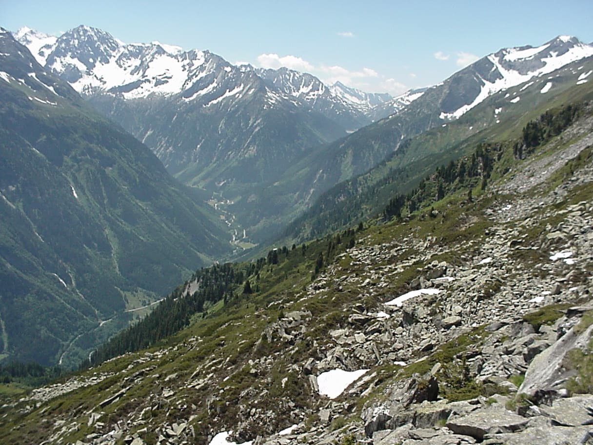
The upper Zemmtal with Gasthof Breitlahner on the valley floor, the starting point for the Karlkopf routes

Austria · Zillertal

Herzblut

bergsteigen.com counts it among the best easier multipitch routes in the Zillertal and one of the few true plaisir lines there. Six pitches of featured slabs, steep walls studded with quartz crystals and fine flakes, with very little smooth rock. Three pitches reach UIAA 6-.

5c6 pitches200 m

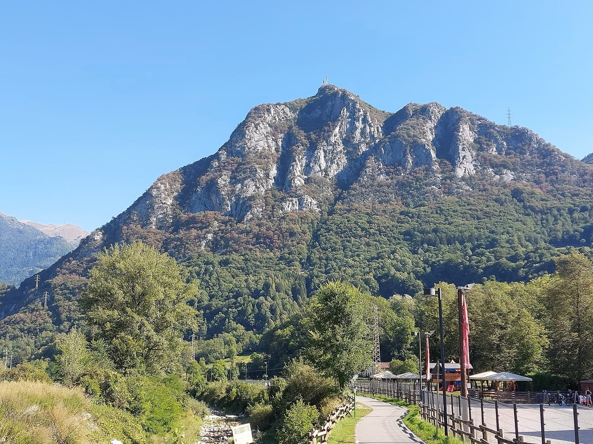
The Zucco dell'Angelone above the Valsassina, seen from Pasturo, with the antenna on its summit. The climbing spurs are the pale limestone ribs on the sunny side of the mountain above Barzio; individual spurs and routes are not marked.

Italy · Lecco & Valsassina

La Lumaca di Vetro

A 1979 Ivan Guerini line up the big slab of the second spur: friction climbing on compact limestone with a few steeper steps, a fine third pitch and a corner to finish. Grades are even, around 5a to 5c, and the bolts are far enough apart that slab confidence matters. You abseil off.

5c6 pitches120 m

Read the cautions

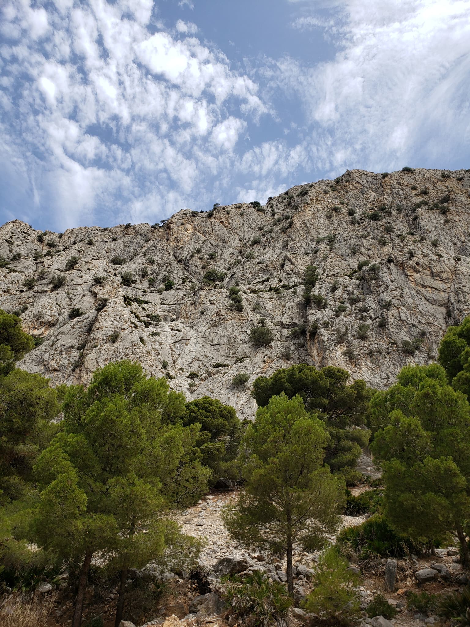
The wall of the Escalera Suiza sector at Escalera Árabe, El Chorro, photographed on an ascent of the neighbouring Blue Line. The line of Los Arcángeles is not marked.

Spain · El Chorro

Los Arcángeles

A friendly six-pitch route that climbs half-way up the Frontales Altas and abseils back down. Most of it is easy, with good rests and some low-angle ground; the crux third pitch takes a neat little arête. It shares its first two short pitches with Blue Line.

5c6 pitches148 m

Compiled from published sources, last verified October 2026. Bolts, anchors and access change: check a current topo and read the disclaimer.