Multipitch Atlas

Kusima

Jegihorn – lower south-east ridge (Kreuzboden / Weissmieshütte) · Saas Valley · Switzerland

CommittingBolting confidence: medium

MaRoCa's neighbour and a touch more consistent: six climbing pitches between 4b and 5b with a short walk in the middle, on the same rib low on the Jegihorn. Generous bolting for an alpine setting and a walk-off down the old ladder path.

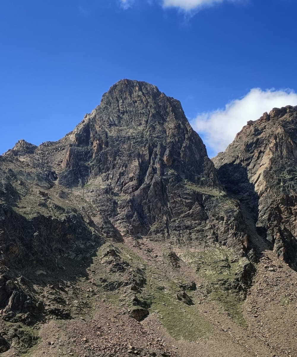
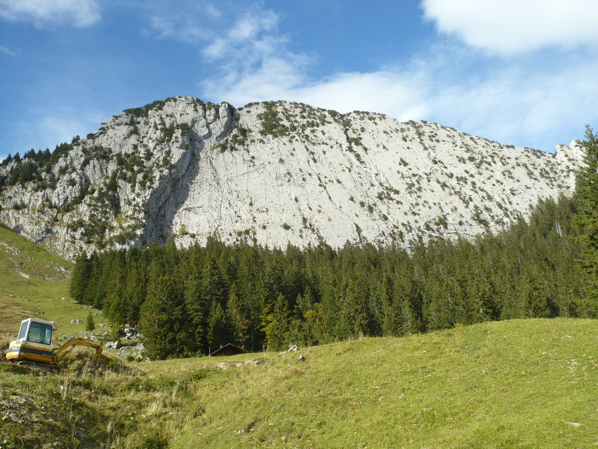
The south-east face of the Jegihorn. Kusima climbs a rib low on this side of the mountain; the line is not markedPhoto: alexduchablais · CC BY-SA 3.0

Photo

The south-east face of the Jegihorn. Kusima climbs a rib low on this side of the mountain; the line is not markedPhoto: alexduchablais · CC BY-SA 3.0
Hardest pitch
5b
Pitches
7
Length
165 m
Approach
45 min
Aspect
SE
South-east-facing
Rope
1×50 m

The route

Overview

Kusima was added in October 2019 beside MaRoCa, on the right bank of the scree gully low on the south-east side of the Jegihorn. The hut topo allows three to four hours hut to hut with about an hour and a half of climbing. It has seven pitches, one of them a 10 m walk, and two pitches of 5b. Pitches are hard to link because of rope drag.

The climbing

Pitch by pitch

Pitches of Kusima
PitchGradeLengthBoltsNotes
P14c35 m8 boltsThe long opening pitch.
P24c20 m7 boltsA short pitch. Camptocamp counts eight bolts.
P3walk10 m–Ten metres of walking to the next step.
P44b20 m4 boltsA short step.
P55b35 m7 boltsThe first of the two harder pitches.
P64b15 m4 boltsA short linking pitch.
P75b30 m6 boltsThe final pitch to the top of the rib.

Getting there

Approach

To the parking

Saas-Grund is in the Saas Valley above Visp (Valais); postbuses run from Visp station. Take the Hohsaas gondola from Saas-Grund to its middle station, Kreuzboden (2397 m). The Weissmieshütte (2726 m) is about 30 to 45 minutes above Kreuzboden on a marked path. A 2021 party advises taking the first cabin up so as not to miss the last one down (16:45 that year). The Weissmieshütte has been under reconstruction since May 2026 and a Bergwelten hut listing reportedly shows it closed from mid-August 2026 for the rest of the season (seen in search results only, not confirmed on the hut's own site). Check the hut website for the current state before planning a night there; the routes can be done as day trips from the gondola.

On foot · about 45 min

From Kreuzboden follow the signs for the Jegihorn via ferrata (Klettersteig). From the Weissmieshütte walk towards the Jegihorn over the first bridge, turn left and cross the second bridge. About 30 to 50 m before the signpost where the via ferrata and Jegihorn paths divide, a wooden arrow fixed to a rock points left onto a cairned track, which crosses the hiking path and a cone of scree. A few metres after the scree cone turn right; the first bolts of Kusima soon come into view. 35 minutes from the hut (hut topo), about 45 minutes from Kreuzboden.

Map of the walk-in

  • Crag
  • Parking

Loading map

The point marks the crag, not the exact start of the route.

Coordinates · crag

46.15146, 7.97017

Parking

46.13903, 7.96333

Kreuzboden, middle station of the Hohsaas gondola from Saas-Grund (camptocamp access waypoint 465854); the trailhead. Cars are left at the valley station in Saas-Grund.

Point from camptocamp summit waypoint 43177 (Jegihorn); the route is on the lower south-east ridge, several hundred metres below and south of the summit, and no source gives a confirmed base point

For your phone or watch

Download GPX

Contains the route point and parking. Opens in most mapping apps and GPS watches.

Points are compiled from published sources, with the precision stated above. They were not surveyed on the ground: check them against a current topo.

Getting down

Descent

From the top of the route walk down along the ridge, following cairns, to the old ladder path, marked by a large metal post. Follow the track left and descend the ladders, which are exposed; you can protect yourself on the thick cable, and a 2021 party recommends a proper via ferrata lanyard. The track then passes below the routes and rejoins the approach. Allow 45 minutes to the Weissmieshütte or about an hour to Kreuzboden. The same 2021 party notes you can instead descend the valley straight towards Kreuzboden if you do not need to return to the start.

Retreat

Bailing off the route

Committing

The hut topo states that the route is not equipped for abseiling. It follows a rib with a walking section after pitch 2, so an escape on foot from there may exist, but no source confirms it. Plan to finish and walk off.

Retreat from
Not documented; possibly on foot from the walking section after pitch 2 (inferred).
Point of no return
Not documented.
Carry
Maillons and cord to leave on two-bolt belays if you have to abseil.
Basis
Part stated, part inferred'Not equipped for abseiling' is stated on the hut topo; the possible walking escape is inferred from the topo.

Partly inferred from the route facts

Safety

Hazards

  • The route is not equipped for abseiling (hut topo).
  • The descent ladders are exposed; keep your harness on and clip the cable.
  • Not recommended when wet.
  • Very little independent feedback exists; treat the hut topo as the reference.
  • Altitude and fast-changing weather.

Sun and weather

Conditions

East to south-east facing, from about 2690 m to 2890 m, so it gets the sun early. Season roughly July to September, in step with the gondola. The hut topo advises against the route when wet. A September 2022 party climbed MaRoCa in cold wind with a little snow in the air.

Usual season · Jul to Sep

Sun on the wall · SE-facing

Working out the sunlit hours for this month.

  • January: not yet worked out
  • February: not yet worked out
  • March: not yet worked out
  • April: not yet worked out
  • May: not yet worked out
  • June: not yet worked out
  • July (usual season): not yet worked out
  • August (usual season): not yet worked out
  • September (usual season): not yet worked out
  • October: not yet worked out
  • November: not yet worked out
  • December: not yet worked out

Sun on the wallDaylight, wall in shade● Usual season

Estimated from the wall's aspect only. Ignores surrounding terrain, gullies and the wall's exact shape. Clock times are local to the wall (Central European time), for the 15th of each month.

Monthly climate averages for Saas Valley, 1991-2020
MeasureJanFebMarAprMayJunJul (usual season)Aug (usual season)Sep (usual season)OctNovDec
Mean daily high °C−8−6−3−049121284−3−7
Mean daily low °C−15−14−11−7−31330−4−10−14
Rain days 1 mm or more121112141719191815141413

● marks the usual climbing season. Averages for 1991-2020 at about 2575 m. Area climate from Open-Meteo reanalysis. Temperatures are adjusted to the height of the crag; rain comes from a grid cell of about 10 to 25 km, and summer highs on sea cliffs can read a few degrees low. The wall and valley can differ. Data: Open-Meteo, CC BY 4.0.

What to carry

Gear

8 quickdraws, a 50 m rope and a helmet. A via ferrata lanyard or a sling is useful on the ladders in descent.

Checklist

Quickdraws
8
Rope
1×50 m
Helmet
One each
Maillons or spare karabiners
To leave behind if you retreat
Cord
Mentioned for retreat

Derived from the route data; check it against a current topo

From climbers

Reader reports

Reader reports are not being collected yet. Until they are, check a current topo and the local club or guidebook publisher for recent changes to Kusima.

Worth knowing

Tips

  • MaRoCa starts close by and shares the descent, so the two make a full day.

Open questions

Where sources disagree

  • Bolts on pitch 2: seven on the hut topo, eight on camptocamp.
  • The hut topo's overview lists the route as number 0, added after the 2019 guidebook; it is not in the printed guides cited.

Provenance

Sources

Same area

More in Saas Valley

All routes in Saas Valley
The south face of the Jegihorn seen from the approach path; Alpendurst climbs the middle of the face to the summit

Switzerland · Saas Valley

Alpendurst

Fourteen pitches of steady 4b and 4c on good gneiss that finish at the summit cross of a 3206 m peak, reached from a gondola. It is the best-known plaisir route on the Jegihorn, closely bolted with chained belays, and often climbed in mountain boots as a first long alpine rock route. Expect company: it is very busy in high summer.

4c14 pitches350 m
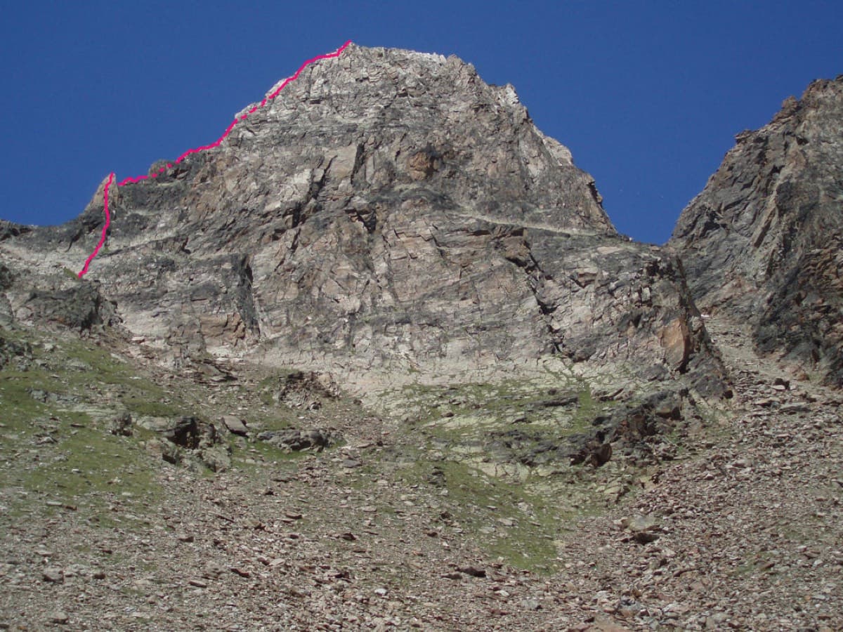
The Jegihorn from the south with the line of the Südkante drawn along the left-hand skyline

Switzerland · Saas Valley

Südkante (South Ridge)

The left edge of the Jegihorn's south face: a 1922 ridge climb turned into a bolted outing of many short pitches, mostly grade 3 and 4. The one real step is the red gendarme, a well-bolted pitch of 5a. More varied than Alpendurst, with slabs, a short steep wall and narrow sections of crest, and a summit finish at 3206 m.

5a18 pitches300 m

The Jegihorn south face from the approach; Panorama is the right-hand route on the face

Switzerland · Saas Valley

Panorama

The right-hand of the Jegihorn's three easy bolted routes and the quietest. Ten long pitches up low-angled slabs and then a steeper, airy central section on sharp flakes and edges, finishing along a short crest to the 3206 m summit. Bolts are further apart than on Alpendurst and the belays are unlinked, so it suits a leader who is steady at 4c.

5a10 pitches360 m

Read the cautionsCommitting

On Verdauungsweg, Dri Horlini: stepped tawny gneiss above the Almagellerhütte

Switzerland · Saas Valley

Verdauungsweg

The 'digestion route': four 20 m pitches of grade 3 and 4 on solid gneiss, fifteen minutes above the Almagellerhütte at 2900 m. Very closely bolted, with iron rods to stand on at the two steepest steps, and well suited to practising in mountain boots or to a first multipitch after the walk up to the hut.

4b4 pitches80 m

Around 5b · about 7 pitches

Similar elsewhere

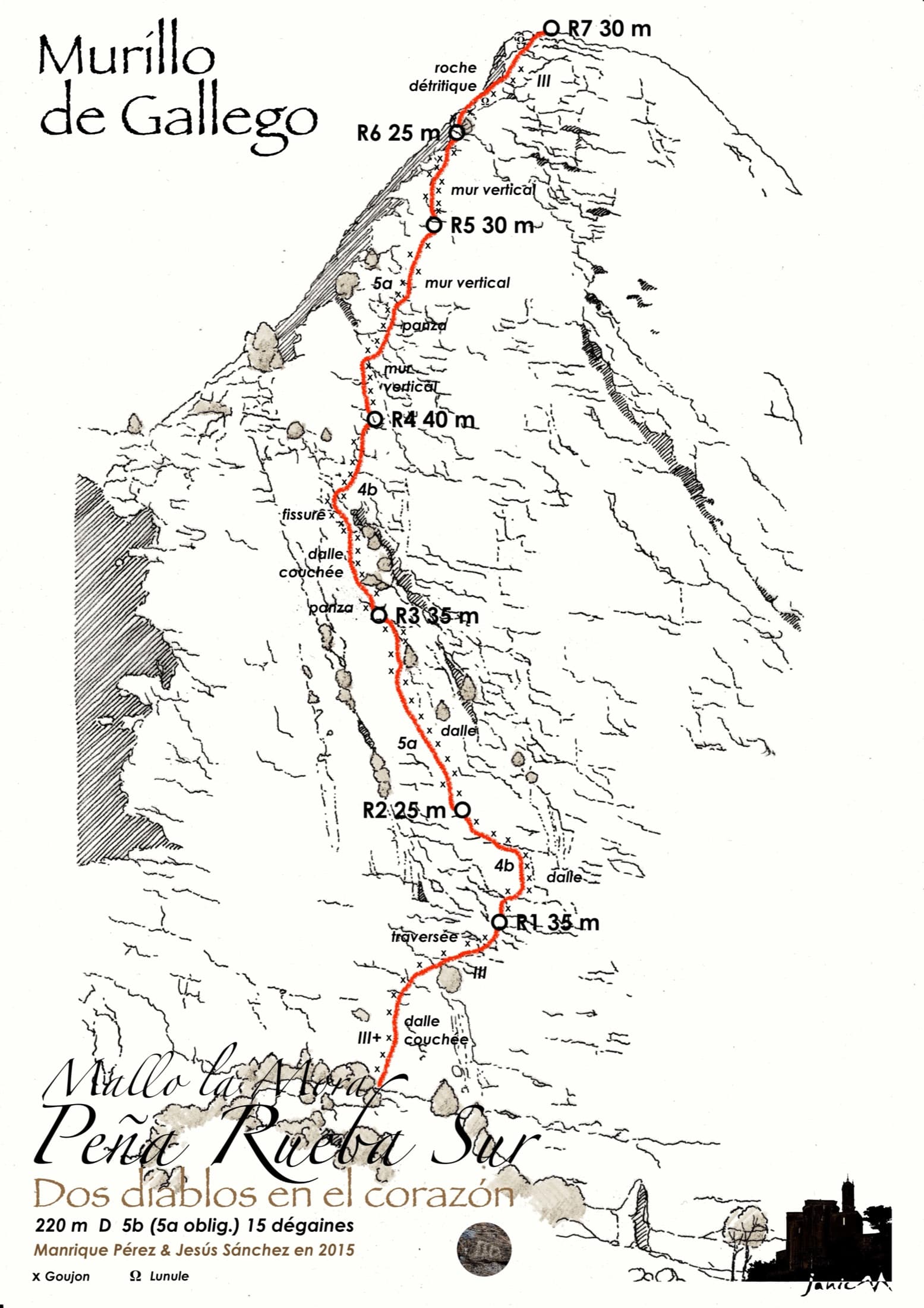
Drawn topo of Dos Diablos en el Corazón on Mallo la Mora, Peña Rueba, with belays, pitch lengths and bolt positions

Spain · Riglos & Agüero (Mallos)

Dos Diablos en el Corazón

Seven pitches up the middle of the south face of Mallo la Mora, between Nueva Cultura del Agua and Santi Sagaste. Mostly grade 4 slabs with two vertical 5b pitches on well-featured conglomerate; pitch 5 is the sustained one. A quieter alternative to Los Terceros También Existen with the same friendly bolting.

5b7 pitches220 m

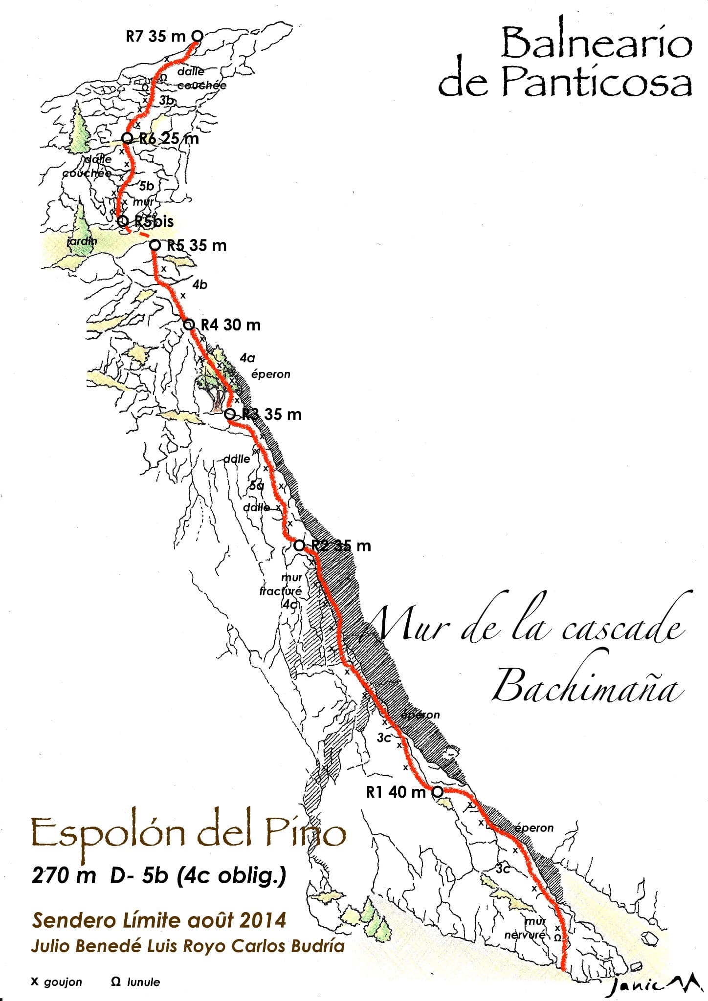
Drawn topo of Espolón del Pino on the Muro de la Cascada de Bachimaña, with bolts, threads and belays marked

Spain · Aragonese Pyrenees (Tena & Canfranc valleys)

Espolón del Pino

An easy granite spur that climbs beside the Bachimaña waterfall and tops out ten minutes below a staffed hut. Short walls and ribs alternate with easy-angled slabs; the one hard move is a five-metre bulging wall at the start of pitch 6, protected by two bolts and avoidable at A0. A way of turning the walk to the hut into a climb.

5b7 pitches270 m

The slabby south face of the Brüggler above the pastures of the Schwändital.

Switzerland · Glarus (Brüggler)

Highway

Seven homogeneous pitches of grade 5 up the middle of the Brüggler's big limestone slab, much of it on water runnels, finishing among the pines near the summit cross. Never hard, but it climbs all the way and the bolts are not close. Best if you are solid at 5c.

5b7 pitches200 m

Read the cautions

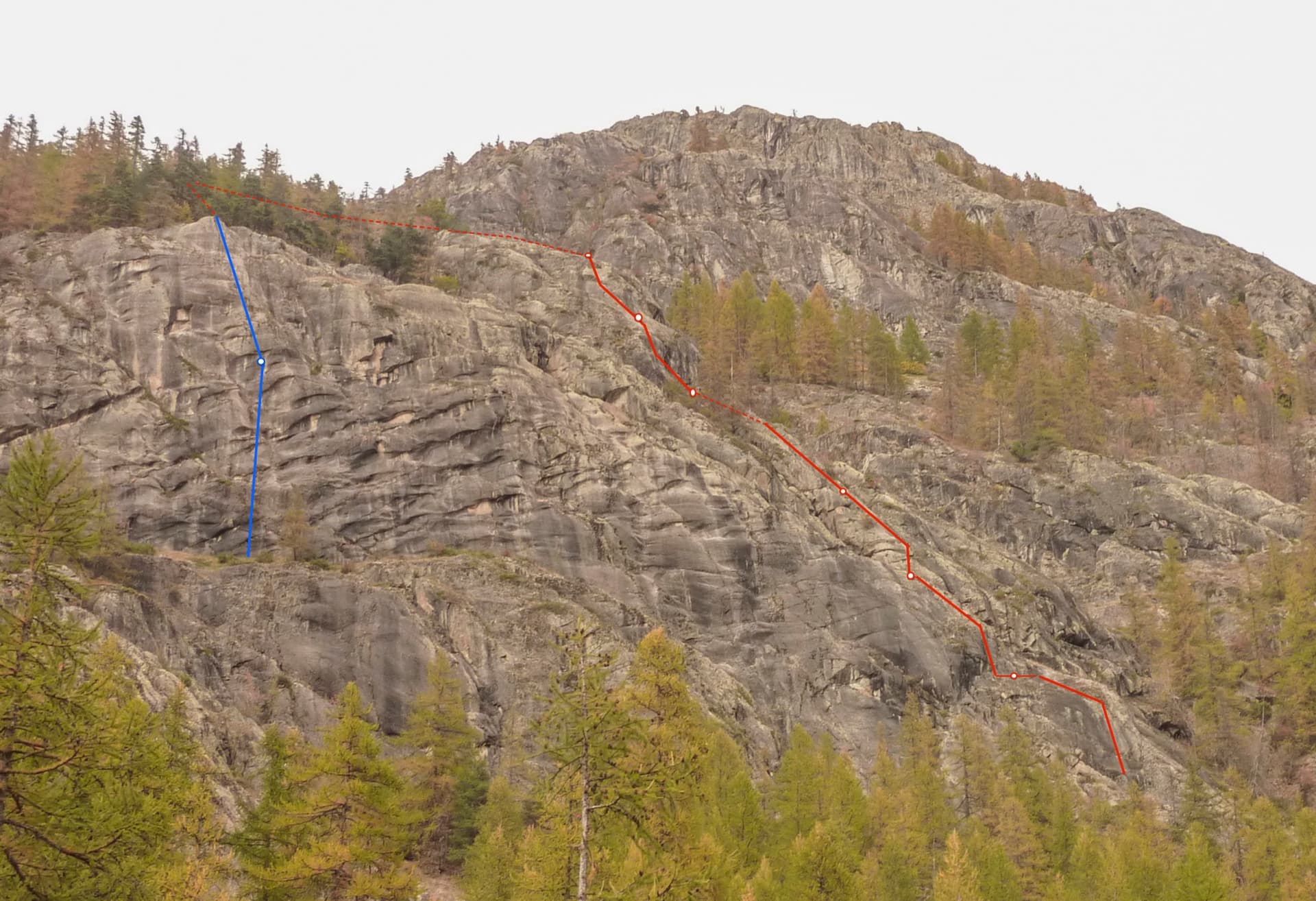
The buttresses below the Tête de la Draye above Ailefroide, with Spit On Cup in red and its two abseils in blue

France · Ailefroide

Spit On Cup

The beginners' multipitch of Ailefroide: seven short pitches of easy-angled granite slab with two steeper steps, bolted close enough for a first lead. It is very popular, so the belays have been doubled. The descent ends with a spectacular 50 m free-hanging abseil.

5b7 pitches200 m

Compiled from published sources and last verified October 2026. Bolts, anchors and access change. Climbing is dangerous and you are responsible for your own decisions: check a current topo and read the disclaimer.