Multipitch Atlas

Dos Diablos en el Corazón

Peña Rueba south face (Mallo la Mora), Murillo de Gállego · Riglos & Agüero (Mallos) · Spain

Bail with caveatsBolting confidence: high

Seven pitches up the middle of the south face of Mallo la Mora, between Nueva Cultura del Agua and Santi Sagaste. Mostly grade 4 slabs with two vertical 5b pitches on well-featured conglomerate; pitch 5 is the sustained one. A quieter alternative to Los Terceros También Existen with the same friendly bolting.

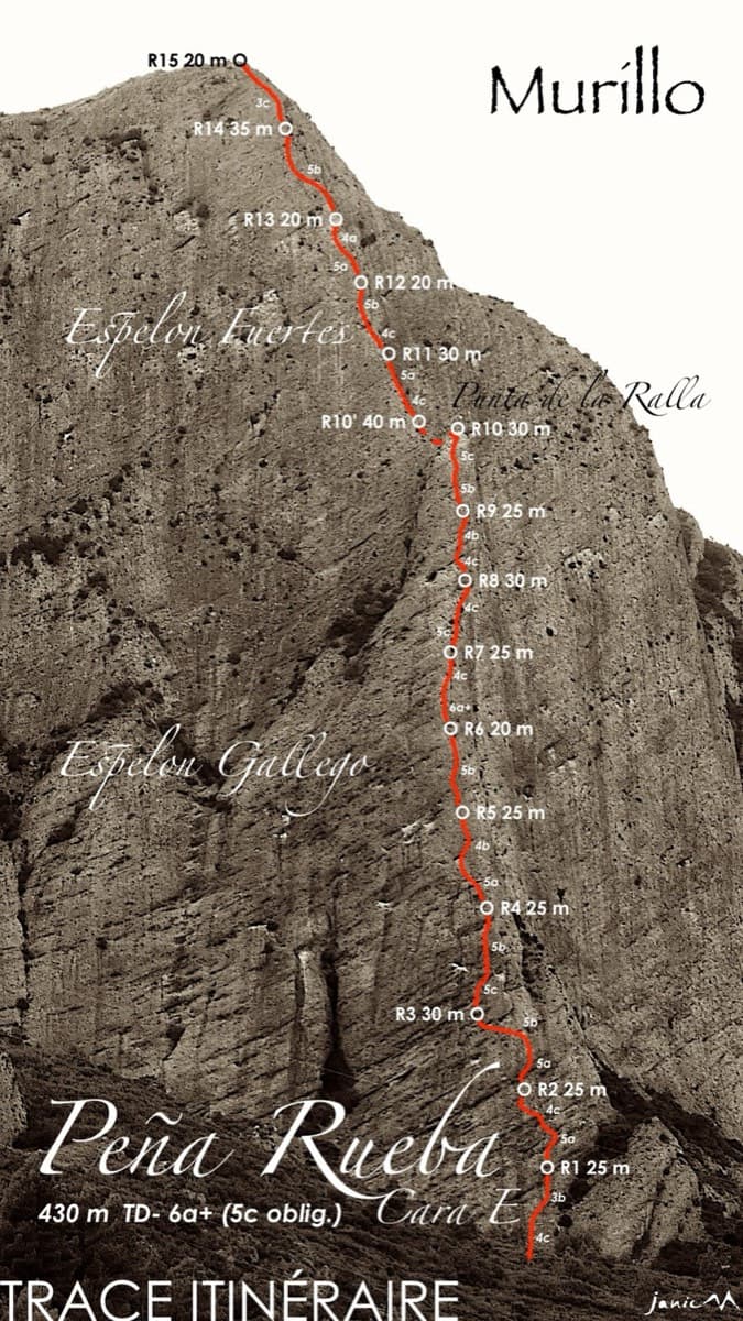
Drawn topo of Dos Diablos en el Corazón on Mallo la Mora, Peña Rueba, with belays, pitch lengths and bolt positionsPhoto: janic · CC BY-SA 3.0

Topo

Drawn topo of Dos Diablos en el Corazón on Mallo la Mora, Peña Rueba, with belays, pitch lengths and bolt positionsPhoto: janic · CC BY-SA 3.0
Hardest pitch
5b
Pitches
7
Length
220 m
Approach
35 min
Aspect
S
South-facing
Rope
1×50 m
walk-off

The route

Overview

Peña Rueba is the big conglomerate hill above Murillo de Gállego, facing Riglos across the river, and its south face holds a cluster of long, closely bolted routes that are less steep than anything on the Mallos. Dos Diablos takes the lines of weakness up Mallo la Mora in seven pitches. It is homogeneous at grade 4 to 5, with a fine move at the end of pitch 3 and a sustained vertical wall on pitch 5 that several parties find harder than 5b. The bolting is generous and the belays are on broad ledges. Rock quality needs watching on the upper pitches.

The climbing

Pitch by pitch

Pitches of Dos Diablos en el Corazón
PitchGradeLengthBoltsNotes
P13c35 m10 boltsAn easy-angled slab, rising rightwards in the second half.
P24b25 m9 boltsRound the cave on its right by a steeper pillar, then a slab to the ledge. Vertical finish.
P35b35 m14 boltsIt steepens: a run of vertical walls with good holds and a thin move leaving a ledge near the top. Two close bolts let you pull through it. One 2017 topo gives 5a, a 2024 party 5b to 5c.
P44b40 m15 boltsA short bulge off the belay, a holdless slab leading to a crack, then a vertical section with plenty of holds where the rock needs care. Camptocamp gives 45 m.
P55b30 m13 boltsThe pitch of the route: a sustained vertical wall, steepest in the middle, that keeps going to the last bolt. The rock is better than it looks.
P65a25 m9 boltsVertical at first, then an easy-angled slab. Keep off the left edge, where the rock is unstable.
P73b30 m5 boltsOnly the first two bolts are this route's; the rest is shared with Los Terceros También Existen. Go left at the start: straight up is rotten. Loose stones. Five bolts and two threads (seven protection points).

Getting there

Approach

To the parking

On the A-132 at Murillo de Gállego, take the first street climbing right at the entrance to the village (coming from Jaca); at the first hairpin take the lane on the right. Where the tarmac ends, continue on the main track past a walled house and two water reservoirs, about 3 km in all, to a widening where several cars can park (Los Ballatíes, about 680 m).

On foot · about 35 min

30 to 40 minutes. Follow the track north-west for about 400 m, then take a well-marked path on the right. At about 800 m leave the left branch, which goes to the start of the via ferrata, and go right on a cairned path to the foot of Mallo la Mora. Three lines start along the ledge: Los Terceros También Existen on the left, then 'NCA' (Nueva Cultura del Agua), then this route, marked 'II D' on the rock.

Map of the walk-in

  • Crag
  • Parking

Loading map

The point marks the crag, not the exact start of the route.

Coordinates · crag

42.35594, -0.76100

Parking

42.35191, -0.76694

Los Ballatíes: widening on the track about 3 km from Murillo de Gállego, past the two water reservoirs (camptocamp access waypoint 1116050). The track is rutted with two steep sections.

Point from camptocamp waypoint 752246 (Peña Rueba, Cara S, Mallo la Mora)

For your phone or watch

Download GPX

Contains the route point and parking. Opens in most mapping apps and GPS watches.

Points are compiled from published sources, with the precision stated above. They were not surveyed on the ground: check them against a current topo.

Getting down

Descent

On foot, about an hour to the car. From the summit of Mallo la Mora go down to the small notch to the north. Either climb the fixed rope on the far side and follow the track left to the crest, then descend the south via ferrata (the option most parties take and the one recommended in comments on the equippers' blog); or go down the vegetated gully east of the notch, with ropes and chains for the first 20 m and easy down-climbing, cross a ledge, climb the far bank on a fixed rope and traverse to join the ferrata lower down. The gully is quicker but needs more care. Abseiling the route is possible but discouraged because of stonefall onto parties below.

Retreat

Bailing off the route

Bail with caveats

Every belay has two bolts with rings and the equippers describe abseiling the route in four with 2×60 m ropes from belay 6. Later sources advise against abseiling because ropes dislodge stones onto the busy routes below, so treat it as an emergency option.

Retreat from
Any belay up to belay 6: belay 6 to 4, 4 to 3, 3 to 2 (or 1), then the ground.
Point of no return
None stated. From belay 6 the top is one easy pitch away and the walk-off is the safer way down.
Carry
2×60 m ropes; a single 50 m rope will not reach.
Basis
Stated in the sourcesThe abseil line is described on the equippers' blog and the ringed belays on Eskalatzencas; camptocamp gives the stonefall warning.

Safety

Hazards

  • Loose rock on pitches 4 to 7, especially the last two; a hold broke on pitch 5 for a 2022 party. Stay on the line and watch the left edge on pitch 6.
  • Many routes run side by side here and it is popular; stones dislodged by ropes are a real risk to parties below. Do not link pitches or abseil with people underneath.
  • On pitch 7 one party missed the belay and ended up belaying from a tree at the top.
  • The descent uses fixed ropes, chains and via ferrata cables; clip in.

Sun and weather

Conditions

South-facing, from about 800 m to 1007 m. Climbed from September to June in the logged outings, including late December; expect it to be too hot in summer. It can be windy.

Usual season · Mar to May, Oct to Nov

Sun on the wall · S-facing

Working out the sunlit hours for this month.

  • January: not yet worked out
  • February: not yet worked out
  • March (usual season): not yet worked out
  • April (usual season): not yet worked out
  • May (usual season): not yet worked out
  • June: not yet worked out
  • July: not yet worked out
  • August: not yet worked out
  • September: not yet worked out
  • October (usual season): not yet worked out
  • November (usual season): not yet worked out
  • December: not yet worked out

Sun on the wallDaylight, wall in shade● Usual season

Estimated from the wall's aspect only. Ignores surrounding terrain, gullies and the wall's exact shape. Clock times are local to the wall (Central European time), for the 15th of each month.

Monthly climate averages for Riglos & Agüero (Mallos), 1991-2020
MeasureJanFebMar (usual season)Apr (usual season)May (usual season)JunJulAugSepOct (usual season)Nov (usual season)Dec
Mean daily high °C9101416202629292418129
Mean daily low °C1135913161612942
Rain days 1 mm or more97910107678998

● marks the usual climbing season. Averages for 1991-2020 at about 612 m. Area climate from Open-Meteo reanalysis. Temperatures are adjusted to the height of the crag; rain comes from a grid cell of about 10 to 25 km, and summer highs on sea cliffs can read a few degrees low. The wall and valley can differ. Data: Open-Meteo, CC BY 4.0.

What to carry

Gear

15 quickdraws, at least two of them long, plus belay gear. A single 50 m rope is enough if you walk off. A via ferrata lanyard is recommended for the descent, and gloves are useful. Cams and nuts are not needed.

Checklist

Quickdraws
15
Rope
1×50 m (walk-off)
Helmet
One each
Abseil device and prusik
The descent or the retreat involves abseiling

Derived from the route data; check it against a current topo

From climbers

Reader reports

Reader reports are not being collected yet. Until they are, check a current topo and the local club or guidebook publisher for recent changes to Dos Diablos en el Corazón.

Worth knowing

Tips

  • Allow 2.5 to 4 hours on the route.
  • With a 60 m rope you can link pitches 1 and 2, and 6 and 7, but only if nobody is below.
  • If Los Terceros También Existen is busy this is the natural alternative; Nueva Cultura del Agua, between the two, can be left at its third belay to join this route.

Open questions

Where sources disagree

  • Pitch 3: 5b on camptocamp, 5a on the Eskalatzencas topo, 5b to 5c according to a 2024 party.
  • Pitch 4: 45 m on camptocamp, 40 m on the Eskalatzencas topo and the drawn camptocamp topo.
  • Pitch 7: camptocamp describes it as short with 5 bolts and 2 threads; Eskalatzencas gives 30 m and 7 protection points.
  • Abseil descent: the equippers describe four abseils with 60 m ropes from belay 6; camptocamp and later reports advise against it.
  • Approach track: camptocamp says it needs a vehicle with good ground clearance; the 2017 Eskalatzencas report calls it passable for ordinary cars.

Provenance

Sources

Same area

More in Riglos & Agüero (Mallos)

All routes in Riglos & Agüero (Mallos)
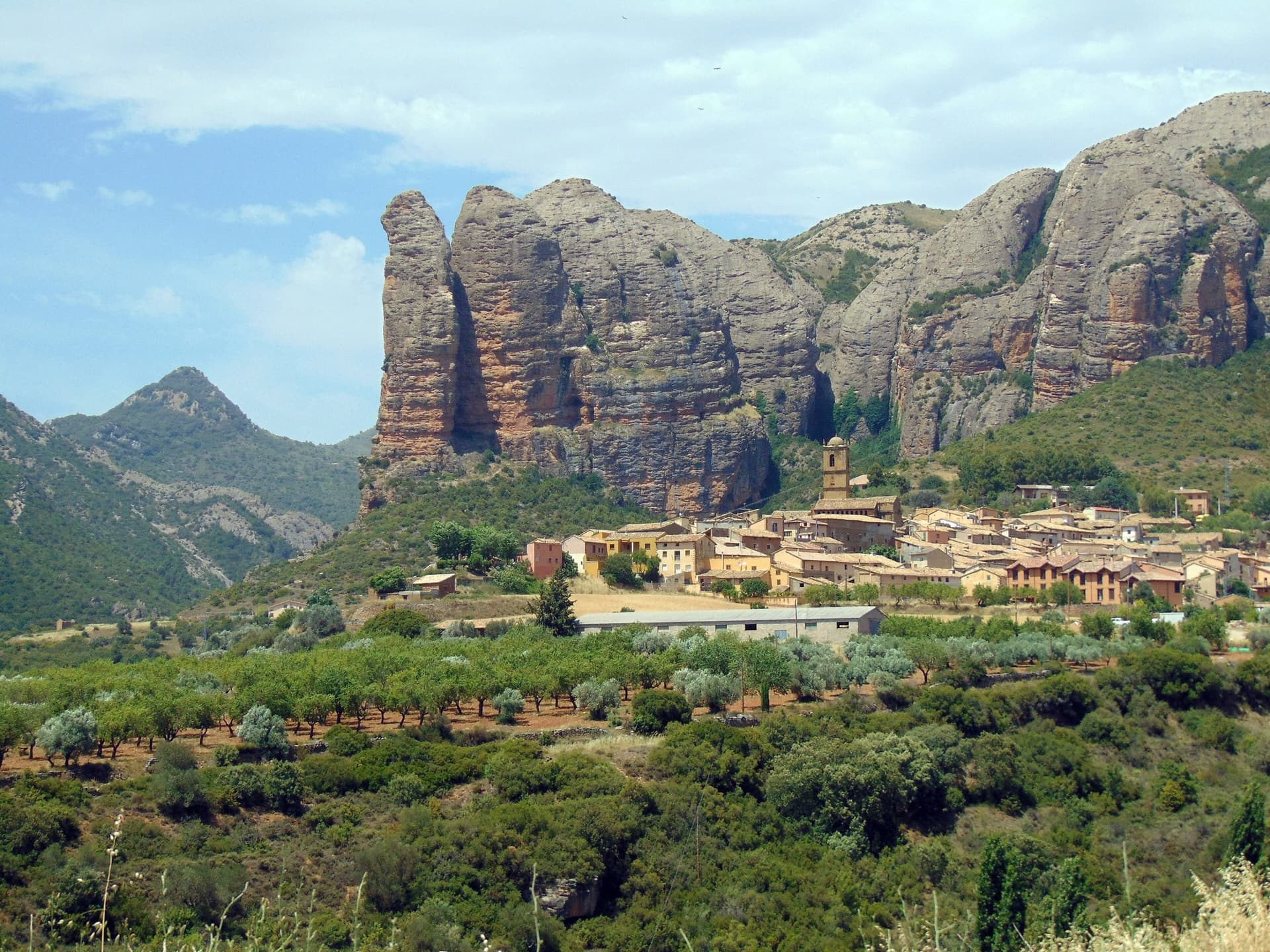
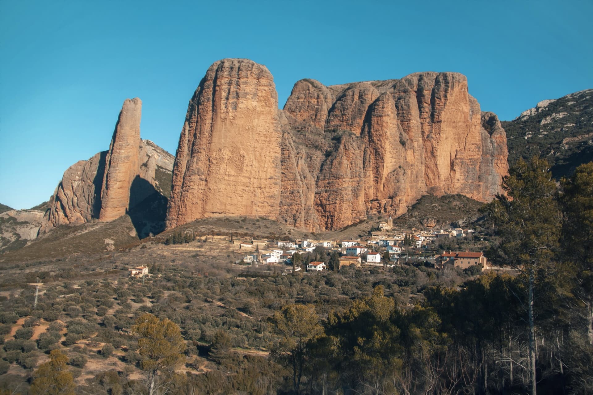
The classic view of Riglos from the south-west: the slender pinnacle of El Puro on the left, the great dome of Mallo Pisón beside it, and the main wall running right to La Visera above the village.

Spain · Riglos & Agüero (Mallos)

Espolón del Adamelo

This is the gentlest way to sample Riglos. Polished pockets and two bulging 'panzas' lead to a 6a crux that can be pulled through on the bolts (A0). The upper spur is easy, and the Pisón towers loom close by.

6a7 pitches175 m

Read the cautions
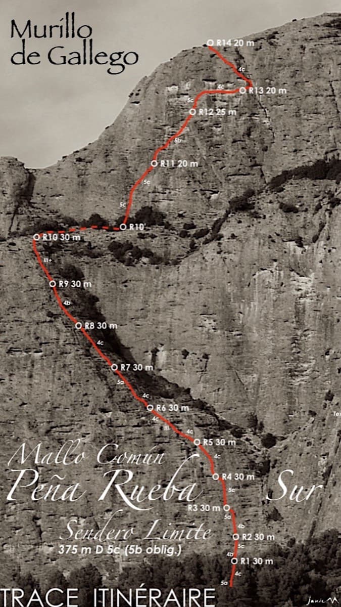
Topo of Sendero Límite on the south face of Peña Rueba (Mallo Común)

Spain · Riglos & Agüero (Mallos)

Sendero Límite

A long beginner's big route on good conglomerate at a moderate angle. Pitches can be linked in pairs with a 60 m rope. A four-pitch headwall with a couple of panzas finishes high above the Gállego valley.

5c14 pitches375 m

The Mallos de Agüero rising directly behind the village, seen from the south-east, with the detached tower of Peña Sola at the left end; the east-facing walls are towards the right-hand end of the massif.

Spain · Riglos & Agüero (Mallos)

Tierra de Naide

A morning-sun route at the quieter Agüero mallos. Easy slabs separate two fine steep walls, including a superb vertical 5c plaque on pitch 4. Take care with some loose cobbles on the last traverse.

5c5 pitches145 m

Around 5b · about 7 pitches

Similar elsewhere

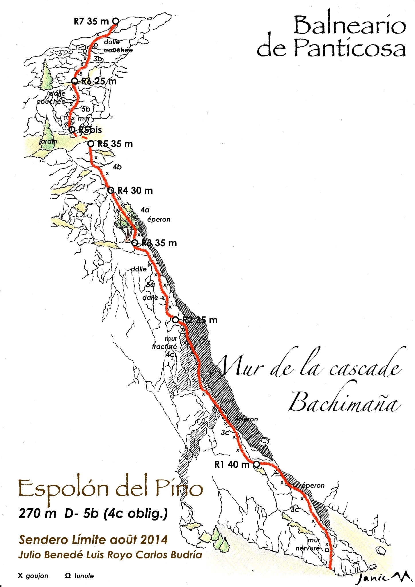
Drawn topo of Espolón del Pino on the Muro de la Cascada de Bachimaña, with bolts, threads and belays marked

Spain · Aragonese Pyrenees (Tena & Canfranc valleys)

Espolón del Pino

An easy granite spur that climbs beside the Bachimaña waterfall and tops out ten minutes below a staffed hut. Short walls and ribs alternate with easy-angled slabs; the one hard move is a five-metre bulging wall at the start of pitch 6, protected by two bolts and avoidable at A0. A way of turning the walk to the hut into a climb.

5b7 pitches270 m

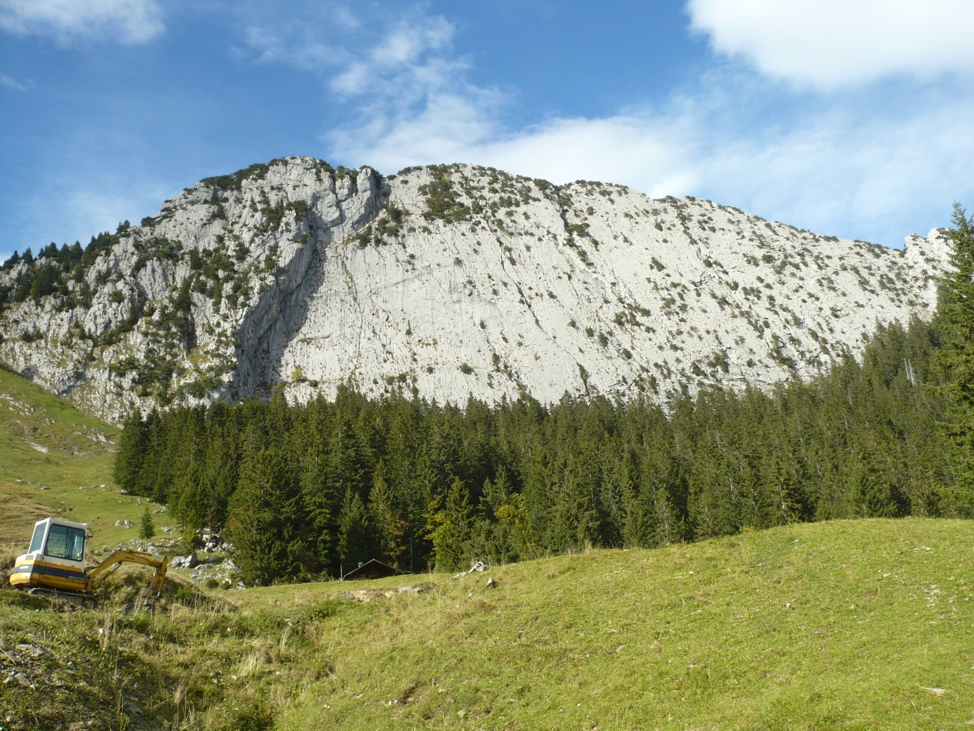
The slabby south face of the Brüggler above the pastures of the Schwändital.

Switzerland · Glarus (Brüggler)

Highway

Seven homogeneous pitches of grade 5 up the middle of the Brüggler's big limestone slab, much of it on water runnels, finishing among the pines near the summit cross. Never hard, but it climbs all the way and the bolts are not close. Best if you are solid at 5c.

5b7 pitches200 m

Read the cautions

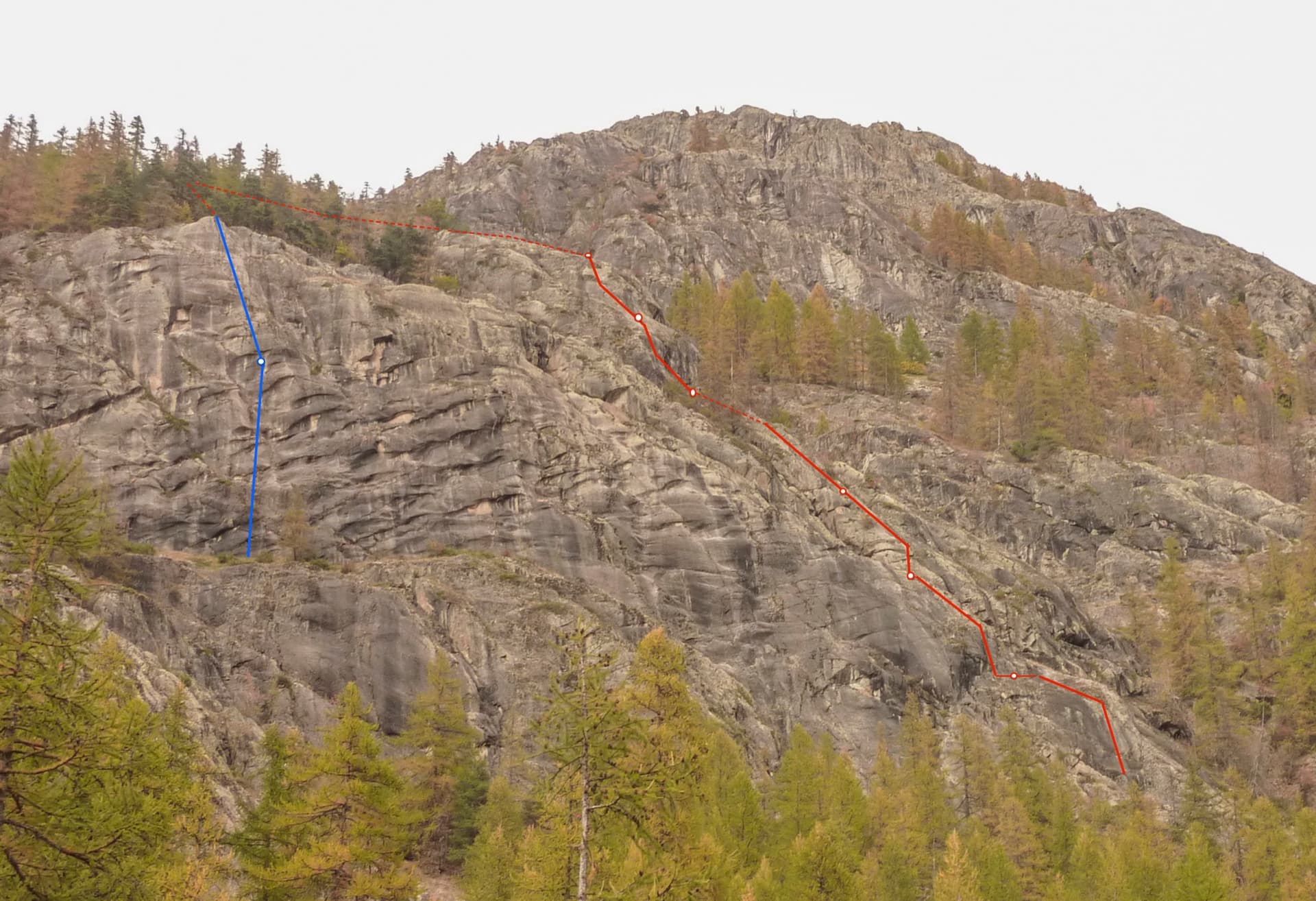
The buttresses below the Tête de la Draye above Ailefroide, with Spit On Cup in red and its two abseils in blue

France · Ailefroide

Spit On Cup

The beginners' multipitch of Ailefroide: seven short pitches of easy-angled granite slab with two steeper steps, bolted close enough for a first lead. It is very popular, so the belays have been doubled. The descent ends with a spectacular 50 m free-hanging abseil.

5b7 pitches200 m

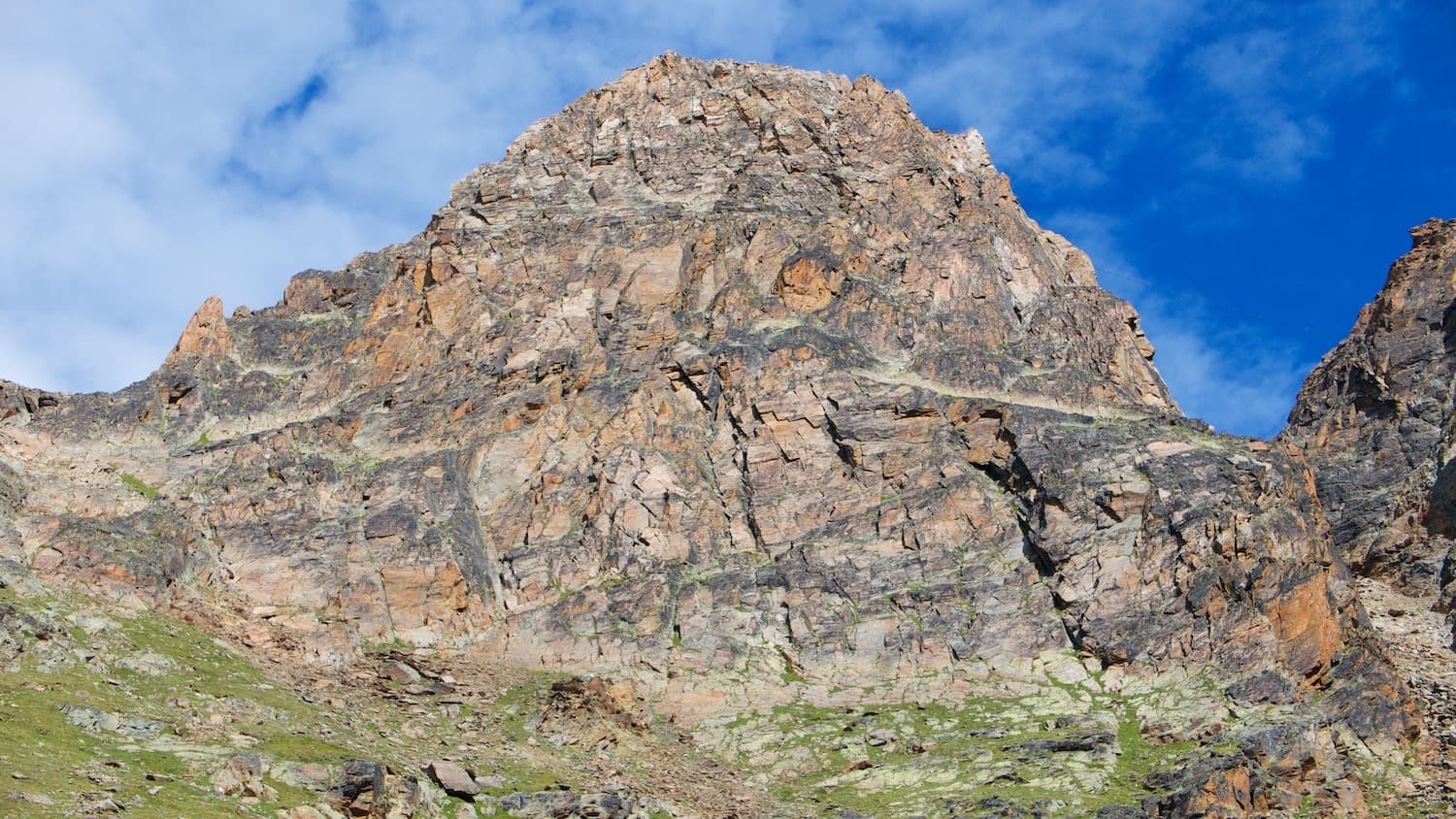
The south-east face of the Jegihorn. Kusima climbs a rib low on this side of the mountain; the line is not marked

Switzerland · Saas Valley

Kusima

MaRoCa's neighbour and a touch more consistent: six climbing pitches between 4b and 5b with a short walk in the middle, on the same rib low on the Jegihorn. Generous bolting for an alpine setting and a walk-off down the old ladder path.

5b7 pitches165 m

Committing

Compiled from published sources and last verified October 2026. Bolts, anchors and access change. Climbing is dangerous and you are responsible for your own decisions: check a current topo and read the disclaimer.