France · Ailefroide
Palavar-les-Flots
Ailefroide's best-known easy long route: a consistent run of 4th-grade slab and pillar climbing with two harder steps (5b+ on L4, a 5c friction move on L8). It is very popular, so start early.
5c12 pitches310 m
La Draye · Ailefroide · France
Bail with caveatsBolting confidence: high
The beginners' multipitch of Ailefroide: seven short pitches of easy-angled granite slab with two steeper steps, bolted close enough for a first lead. It is very popular, so the belays have been doubled. The descent ends with a spectacular 50 m free-hanging abseil.
The route
Spit On Cup climbs the lower buttresses of the Draye, a quarter of an hour from the bridge in Ailefroide. It is seven short pitches, mostly slab at 4b to 5a, with a steeper crack on pitch 3 and a steep black slab on pitch 5 that give the 5b grade. The bolts are close and most belays are doubled or tripled, which is why it is the valley's standard first multipitch and why it is so busy. It runs just left of Le Dernier Néandertalien, with belays often a few metres apart. The descent needs more care than the climbing: a path with some down-climbing, then two abseils.
The climbing
| Pitch | Grade | Length | Notes |
|---|---|---|---|
| P1 | 4b | – | From the belay on the access ledge (moved a few metres left to separate it from Le Dernier Néandertalien), traverse a few metres right to the original line, follow the crest of the spur and belay on the left. An optional extra pitch (4b) now starts below the access ledge. |
| P2 | 5a | – | Short traverse left, a small wall, then a low-angled slab traversing left. Extend the draws to manage rope drag. |
| P3 | 5b | – | A crack that is awkward and a little reach-dependent but has good holds, and goes at A0 if needed. A mantel, then easy ground at 4a. |
| P4 | 3b | 10 m | Very short and easy. You can carry on to the next belay, a 25 m walk right to the foot of a fine slab. |
| P5 | 5b | – | A very black, fairly steep slab with a few technical moves. |
| P6 | 4c | – | Easy slab, then a steeper little wall. |
| P7 | 2 | – | Easy last pitch that can be done in trainers; stay roped. |
Getting there
Ailefroide (1500 m) is at the head of the Vallouise valley: from Briançon go to L'Argentière-la-Bessée (railway station on the Marseille, Gap, Briançon line), then Vallouise, Pelvoux and Ailefroide. A seasonal bus runs between Briançon and the Pré de Madame Carle. The road is closed in winter at Pelvoux-les-Claux. Ailefroide has a large campsite and every route here is reached on foot from it.
About 15 min from the Ailefroide bridge. Take the path towards the Tête de la Draye (south-east, true left bank of the torrent). Shortly after the 'petites dalles' teaching crag, leave the Draye path and go right, horizontally, on the path towards Chambran for about 80 paces (signed 'sentier de la Galerie'; wooden sign after the fork). At a cairn just after a long pile of big stones, go up trending slightly right for 50 m and cross a short grade 2 step onto the access ledge. Route names were painted in red but fade fast: a 2026 party found the name gone from the cairn, started left of Le Dernier Néandertalien (written in white on a block) and found 'Spit' in faded red at the first belay, which is two bolts joined by blue cord.
Loading map
The point marks the base of the route.
Parking
Ailefroide (camptocamp waypoint 106735)
Point from camptocamp route 232551 geometry, within about 100 m of theCrag's point for the route (44.88659, 6.45259)
Contains the route point and parking. Opens in most mapping apps and GPS watches.
Points are compiled from published sources, with the precision stated above. They were not surveyed on the ground: check them against a current topo.
Coordinates: 44.88615, 6.45342 (route base) · Parking: 44.88434, 6.45069
Getting down
Follow a path left, level at first and then steeply down towards the tops of the first routes you passed (a few cairns). A 2026 party stresses that this includes down-climbing, that there have been accidents and that it should not be done in the dark. The first abseil (10 m, shared by three routes) is from a belay in the wall just above a platform near a big tree; it can be avoided by 20 to 30 m of narrow, dirty, exposed ledge. The second abseil is 50 m exactly and almost free-hanging; it lands on a path that leads to the foot of the crag. Alternatively descend on the right by the two easy abseils of Le Dernier Néandertalien (2×50 m; 45 m is said to be enough). Camptocamp says the 2024 printed topo is wrong about the descent.
Retreat
Bail with caveats
The belays are bolted and mostly doubled, and the first has maillons, so abseiling back down the short pitches looks feasible. No source describes a retreat beyond one party that climbed only pitch 1 and came down. The normal way off from the top is a path and two abseils.
Partly inferred from the route facts
Safety
Sun and weather
South facing between about 1600 and 1800 m, so hot in midsummer; start early. It is one of the busiest routes in the valley in July and August.
Sun on the wall · S-facing
Working out the sunlit hours for this month.
Sun on the wallDaylight, wall in shade● Usual season
Estimated from the wall's aspect only. Ignores surrounding terrain, gullies and the wall's exact shape. Clock times are local to the wall (Central European time), for the 15th of each month.
| Measure | Jan | Feb | Mar | Apr | May (usual season) | Jun (usual season) | Jul (usual season) | Aug (usual season) | Sep (usual season) | Oct (usual season) | Nov | Dec |
|---|---|---|---|---|---|---|---|---|---|---|---|---|
| Mean daily high °C | −0 | 1 | 5 | 7 | 12 | 18 | 21 | 22 | 17 | 12 | 5 | 0 |
| Mean daily low °C | −7 | −7 | −4 | −0 | 3 | 8 | 11 | 11 | 7 | 3 | −3 | −6 |
| Rain days 1 mm or more | 11 | 10 | 11 | 12 | 14 | 17 | 15 | 13 | 12 | 11 | 12 | 12 |
● marks the usual climbing season. Averages for 1991-2020 at about 1496 m. Area climate from Open-Meteo reanalysis. Temperatures are adjusted to the height of the crag; rain comes from a grid cell of about 10 to 25 km, and summer highs on sea cliffs can read a few degrees low. The wall and valley can differ. Data: Open-Meteo, CC BY 4.0.
What to carry
Two ropes of 50 m for the abseil (it is 50 m exactly). Sources do not give a quickdraw count; the pitches are short. Helmet.
Derived from the route data; check it against a current topo
From climbers
Reader reports are not being collected yet. Until they are, check a current topo and the local club or guidebook publisher for recent changes to Spit On Cup.
Worth knowing
Open questions
Provenance
Same area
France · Ailefroide
Ailefroide's best-known easy long route: a consistent run of 4th-grade slab and pillar climbing with two harder steps (5b+ on L4, a 5c friction move on L8). It is very popular, so start early.
5c12 pitches310 m
France · Ailefroide
A long, sunny outing up a series of granite steps, consistently in the 5th grade, finishing with a great view over La Draye. Grassy ramps separate the tiers, so the climbing never feels exposed.
5c14 pitches450 m
France · Ailefroide
One of the best-known slab routes at Ailefroide: eleven pitches up the big inclined plane on the foothills of the Pelvoux, directly above the village. The style never changes, slab from bottom to top, mostly 5b with two pitches of 5c. The approach gully, damaged by a rockfall in 2013, is the serious part of the day.
5c11 pitches300 m
Read the cautions
France · Ailefroide
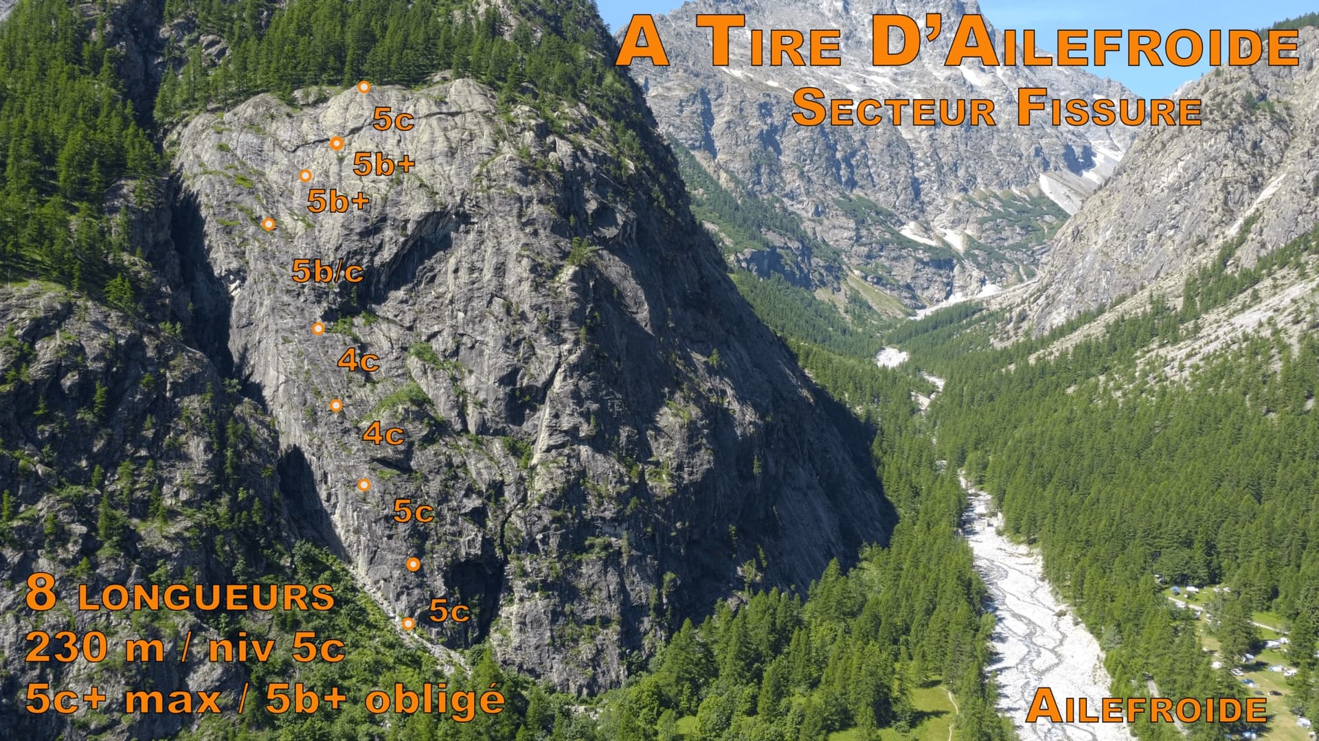
An even 5c on the big wall directly behind the Ailefroide campsite: a steep corner to start, slabs in the middle and a fine layback near the top. It takes the left side of the face that holds the famous Fissure, and is a little quieter than the other classics of the grade.
5c8 pitches230 m
Around 5b · about 7 pitches
Spain · Riglos & Agüero (Mallos)
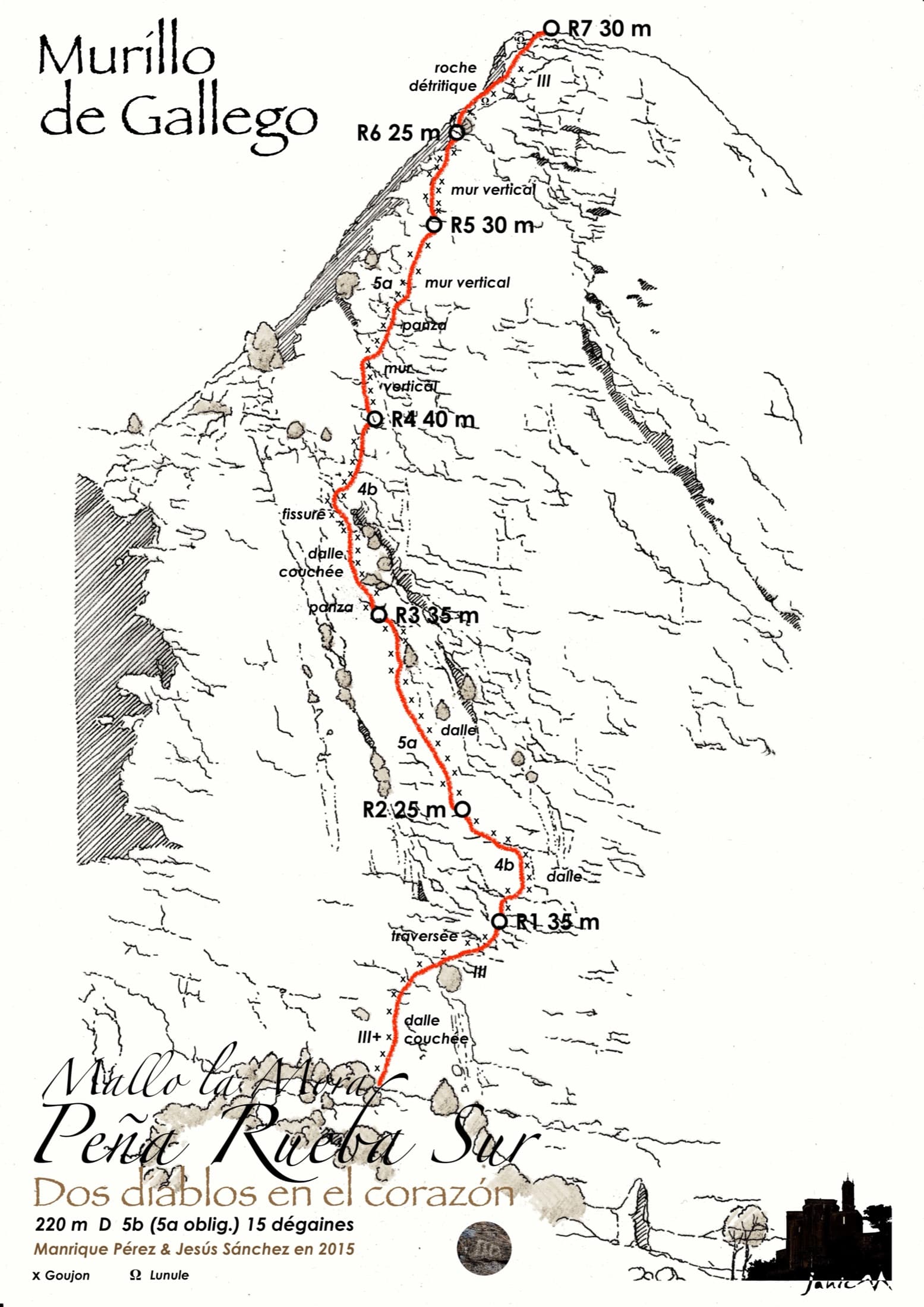
Seven pitches up the middle of the south face of Mallo la Mora, between Nueva Cultura del Agua and Santi Sagaste. Mostly grade 4 slabs with two vertical 5b pitches on well-featured conglomerate; pitch 5 is the sustained one. A quieter alternative to Los Terceros También Existen with the same friendly bolting.
5b7 pitches220 m
Spain · Aragonese Pyrenees (Tena & Canfranc valleys)
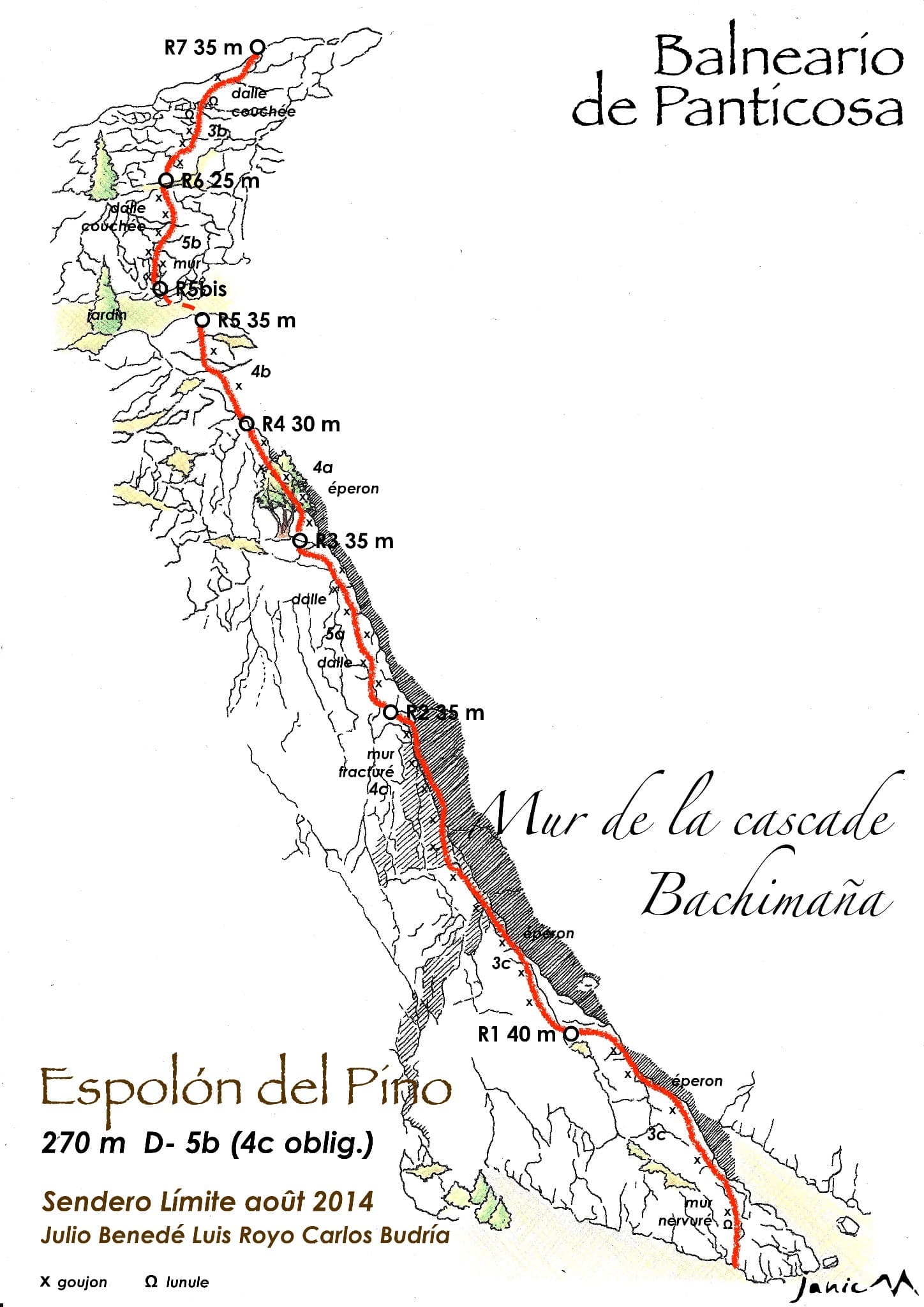
An easy granite spur that climbs beside the Bachimaña waterfall and tops out ten minutes below a staffed hut. Short walls and ribs alternate with easy-angled slabs; the one hard move is a five-metre bulging wall at the start of pitch 6, protected by two bolts and avoidable at A0. A way of turning the walk to the hut into a climb.
5b7 pitches270 m
Switzerland · Glarus (Brüggler)
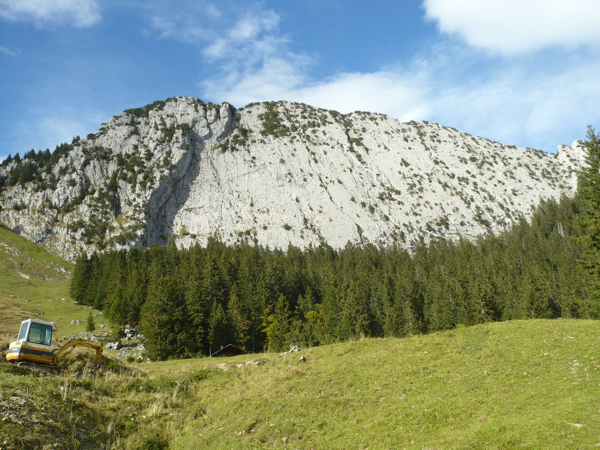
Seven homogeneous pitches of grade 5 up the middle of the Brüggler's big limestone slab, much of it on water runnels, finishing among the pines near the summit cross. Never hard, but it climbs all the way and the bolts are not close. Best if you are solid at 5c.
5b7 pitches200 m
Read the cautions
Switzerland · Saas Valley
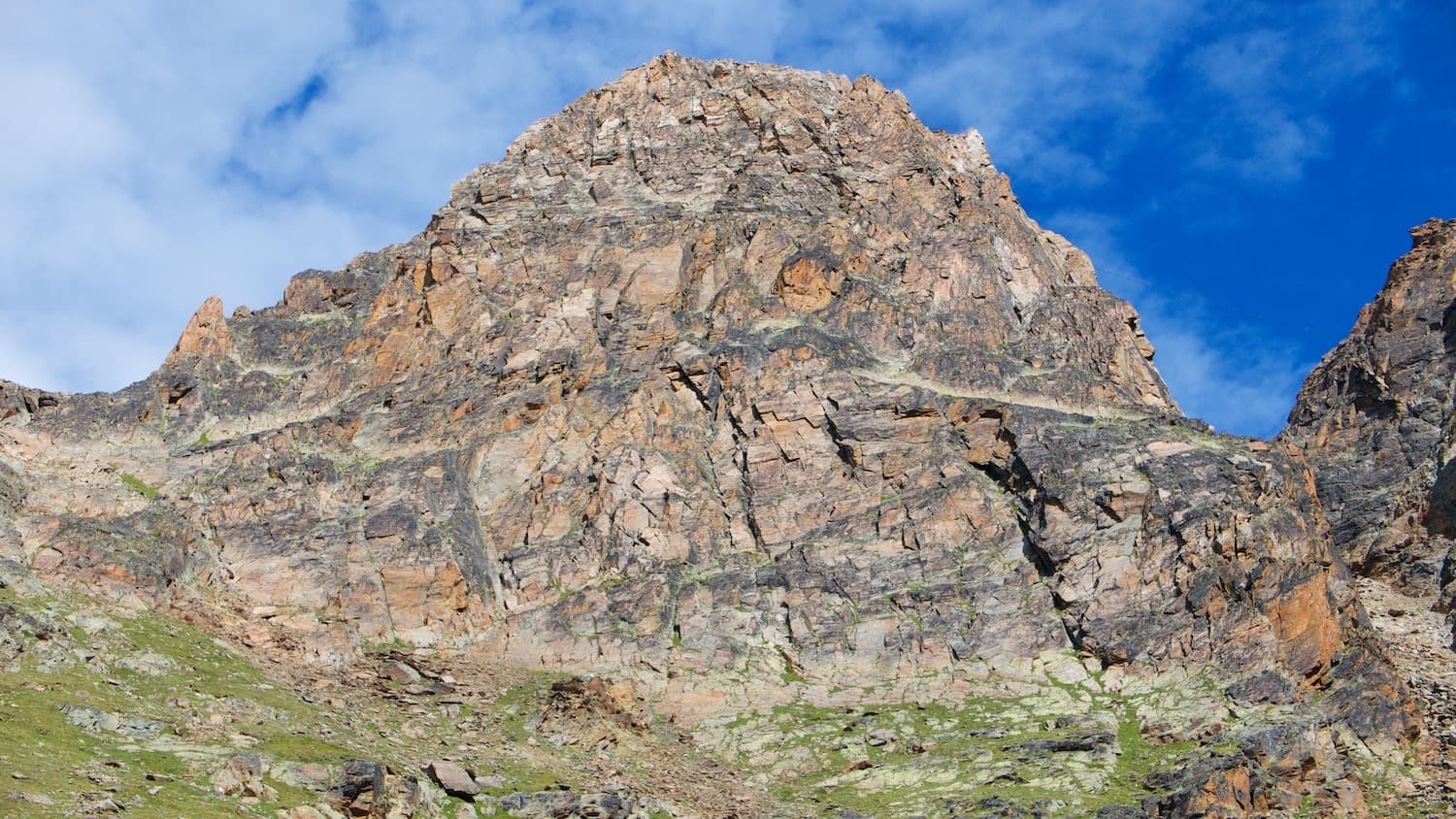
MaRoCa's neighbour and a touch more consistent: six climbing pitches between 4b and 5b with a short walk in the middle, on the same rib low on the Jegihorn. Generous bolting for an alpine setting and a walk-off down the old ladder path.
5b7 pitches165 m
Committing
Compiled from published sources and last verified October 2026. Bolts, anchors and access change. Climbing is dangerous and you are responsible for your own decisions: check a current topo and read the disclaimer.