Multipitch Atlas

Espolón del Pino

Muro de la Cascada de Bachimaña, Baños de Panticosa · Aragonese Pyrenees (Tena & Canfranc valleys) · Spain

Bail with caveatsBolting confidence: high

An easy granite spur that climbs beside the Bachimaña waterfall and tops out ten minutes below a staffed hut. Short walls and ribs alternate with easy-angled slabs; the one hard move is a five-metre bulging wall at the start of pitch 6, protected by two bolts and avoidable at A0. A way of turning the walk to the hut into a climb.

Drawn topo of Espolón del Pino on the Muro de la Cascada de Bachimaña, with bolts, threads and belays markedPhoto: janic · CC BY-SA 3.0

Topo

Drawn topo of Espolón del Pino on the Muro de la Cascada de Bachimaña, with bolts, threads and belays markedPhoto: janic · CC BY-SA 3.0
Hardest pitch
5b
Pitches
7
Length
270 m
Approach
80 min
Aspect
SW
South-west-facing
Rope
Single rope
walk-off; pitches up to 40 m

The route

Overview

Espolón del Pino is one of several routes the Sendero Límite group bolted on the wall beside the Bachimaña waterfall, above Baños de Panticosa, after the Bachimaña hut opened. It follows a low-angled spur of excellent granite for seven pitches, never harder than 5a apart from one short wall. The difficulty is discontinuous from pitch 4 onwards, with walking between the steps. The setting carries the route: waterfall alongside, raspberries at the foot in August and the hut terrace at the top. It suits a first multipitch on granite, or a short day linked with another route on the same wall.

The climbing

Pitch by pitch

Pitches of Espolón del Pino
PitchGradeLengthBoltsNotes
P13c40 m5 boltsA rough three-metre wall, then a small crest and a short slab to a wide grassy terrace.
P24c35 m10 boltsLeave the belay on the left up an easy crest that steepens steadily; the last metres are vertical but well bolted and on good holds.
P35a35 m6 boltsTwo slabs of compact granite, then about 10 m of very easy-angled slab that you walk up to the big pine. Belay on the pine.
P44a30 m5 boltsA small spur with an occasional slab move. Belay in a shaded recess.
P54b35 m2 boltsA juggy three-metre wall straight off the belay is the only difficulty; then grassy steps. Follow the vague easy-angled rock rib slightly left, not the grass, to a belay on the ground at its end, a little hidden. From here walk 20 to 25 m across the grassy garden to a single bolt (R5bis) below the obvious vertical wall on the left.
P65b25 m6 boltsThe crux: a five-metre vertical, slightly bulging wall on good holds, starting from the wide grass terrace and protected by two bolts, then a delicate pull onto the easy slab above. You can reach the third bolt at A0.
P73b35 m6 boltsAn awkward step off the belay, two steps separated by small terraces, then a very easy slab you walk up. The last bolt is on a point; the final belay is a few metres higher, on the ground by a cairn.

Getting there

Approach

To the parking

Drive up the Tena valley to Panticosa and on to the road end at Baños de Panticosa (the Balneario, 1636 m), where there are several car parks. The Refugio Casa de Piedra is beside the car parks and the Refugio de los Ibones de Bachimaña (2200 m, staffed all year according to a 2019 party) is just above the top of the route; topos are kept at both.

On foot · about 80 min

Take the GR 11 that starts behind the Refugio Casa de Piedra and climbs towards the Bachimaña hut. Follow it to the big cirque of the waterfall wall: 1 h to 1 h 30 from the car. From the Bachimaña hut it is 30 min down to the start. An orange plastic disc with the route name marks the first bolt.

Map of the walk-in

  • Crag
  • Parking

Loading map

The point marks the crag, not the exact start of the route.

Coordinates · crag

42.77712, -0.23026

Parking

42.75957, -0.23461

Baños de Panticosa (camptocamp access waypoint 131736)

Point from camptocamp waypoint 677309 (Mur de la Cascade de Bachimaña)

For your phone or watch

Download GPX

Contains the route point and parking. Opens in most mapping apps and GPS watches.

Points are compiled from published sources, with the precision stated above. They were not surveyed on the ground: check them against a current topo.

Getting down

Descent

From the top the Bachimaña hut is 8 to 10 minutes above: follow traces through the boulders and then small paths. From the hut take the GR 11 back down to Baños de Panticosa, about 1 h. A 2019 party notes you can also traverse horizontally left from the top to join the GR 11 without going up to the hut.

Retreat

Bailing off the route

Bail with caveats

No source describes a retreat. Most belays have two bolts and the pitches are 25 to 40 m, so abseiling on a single rope would need intermediate stops and gear left behind; R3 is a tree and R5bis a single bolt. Above pitch 5 the grassy garden and the short remaining pitches make finishing the quicker option, with the hut ten minutes above the top.

Retreat from
Two-bolt belays R1, R2 and R4 to R6 (inferred)
Point of no return
None stated
Carry
Maillons or slings to leave; two ropes, or short abseils, for the 35 to 40 m pitches
Basis
Inferred from the route factsInferred from the belay descriptions on the Escalando blog; the belays are not described as rigged for abseiling.

Partly inferred from the route facts

Safety

Hazards

  • Communication: agree rope signals before you start, because the waterfall drowns out calls on the middle pitches.
  • R5bis is a single bolt and R3 is a tree; take slings.
  • Pitch 5 has only two bolts, on easy ground above the opening wall.
  • The bolts are 8 mm and some hangers are small.

Sun and weather

Conditions

South-west facing, between about 1900 m and 2150 m: shade in the morning, sun in the afternoon, which a party in mid October found welcome. Parties report it climbed from late June to mid October. The noise of the waterfall makes it hard to hear your partner on pitches 3 to 6, where you also lose sight of each other.

Usual season · Jun to Oct

Sun on the wall · SW-facing

Working out the sunlit hours for this month.

  • January: not yet worked out
  • February: not yet worked out
  • March: not yet worked out
  • April: not yet worked out
  • May: not yet worked out
  • June (usual season): not yet worked out
  • July (usual season): not yet worked out
  • August (usual season): not yet worked out
  • September (usual season): not yet worked out
  • October (usual season): not yet worked out
  • November: not yet worked out
  • December: not yet worked out

Sun on the wallDaylight, wall in shade● Usual season

Estimated from the wall's aspect only. Ignores surrounding terrain, gullies and the wall's exact shape. Clock times are local to the wall (Central European time), for the 15th of each month.

Monthly climate averages for Aragonese Pyrenees (Tena & Canfranc valleys), 1991-2020
MeasureJanFebMarAprMayJun (usual season)Jul (usual season)Aug (usual season)Sep (usual season)Oct (usual season)NovDec
Mean daily high °C447914192222171375
Mean daily low °C−3−3−11591112850−2
Rain days 1 mm or more141314181816141413141413

● marks the usual climbing season. Averages for 1991-2020 at about 1564 m. Area climate from Open-Meteo reanalysis. Temperatures are adjusted to the height of the crag; rain comes from a grid cell of about 10 to 25 km, and summer highs on sea cliffs can read a few degrees low. The wall and valley can differ. Data: Open-Meteo, CC BY 4.0.

What to carry

Gear

10 quickdraws and material for the belays (one is on a tree, one on a single bolt). Single rope; the longest pitch is 40 m. Cams and nuts are not needed. Helmet.

Checklist

Quickdraws
10
Rope
Single rope (walk-off; pitches up to 40 m)
Helmet
One each
Slings
Mentioned for retreat
Maillons or spare karabiners
To leave behind if you retreat

Derived from the route data; check it against a current topo

From climbers

Reader reports

Reader reports are not being collected yet. Until they are, check a current topo and the local club or guidebook publisher for recent changes to Espolón del Pino.

Worth knowing

Tips

  • A fast party climbed it in 1 h 30 with some moving together; 2 h to 2 h 15 is typical.
  • The same wall has other bolted routes (camptocamp lists Vía del Diedro and Viaje por el Muro, and a 2025 party linked this route with Espolón Edu); a night at the Bachimaña hut lets you do two.
  • From Baños you can make the whole climb to the hut on rock by linking Vía del Nano or Arista Mowgli lower down with this route, as the openers propose.

Open questions

Where sources disagree

  • Length: 270 m on camptocamp, 260 m on the Escalando blog.
  • Obligatory grade: 4c on camptocamp, 5a on the Escalando blog.
  • Approach from Baños: 1 h (2023 party), 1 h 20 (Escalando) and 1 h 30 (camptocamp).

Provenance

Sources

Same area

More in Aragonese Pyrenees (Tena & Canfranc valleys)

All routes in Aragonese Pyrenees (Tena & Canfranc valleys)
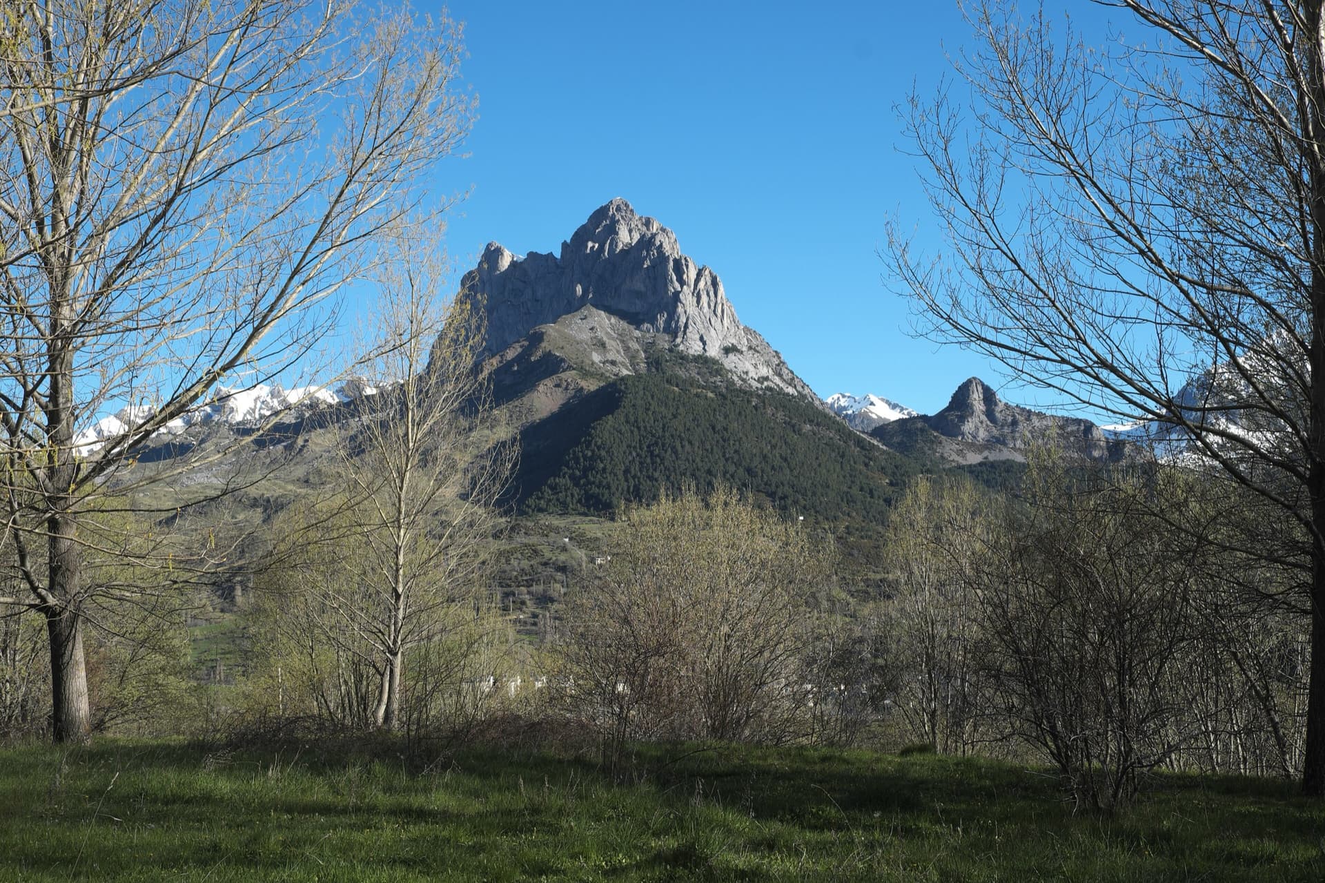
The twin limestone summits of Peña Foratata above the forest, seen from Sallent de Gállego in spring.

Spain · Aragonese Pyrenees (Tena & Canfranc valleys)

La Joya del Gállego

Varied, sustained limestone of chimneys, dihedrals and compact fluted slabs high above the Tena valley. Bearded-vulture nesting closes the face from 1 Dec to 31 Jul unless lifted early, so check montanaregulada.org.

6a+10 pitches265 m

Read the cautions
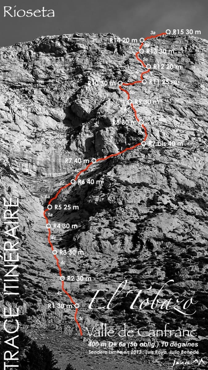
Topo of Valle de Canfranc on the south face of El Tobazo

Spain · Aragonese Pyrenees (Tena & Canfranc valleys)

Valle de Canfranc

A long, mostly easy slab-and-dihedral route with a single 6a slab on pitch 6, in a fine setting facing away from Candanchú. Wait about 30 h after rain because the lower gully drains water.

6a15 pitches400 m

Topo of Roca por un Tubo, Pared de la Tubería (Cerro Gascón), Baños de Panticosa

Spain · Aragonese Pyrenees (Tena & Canfranc valleys)

Roca por un Tubo

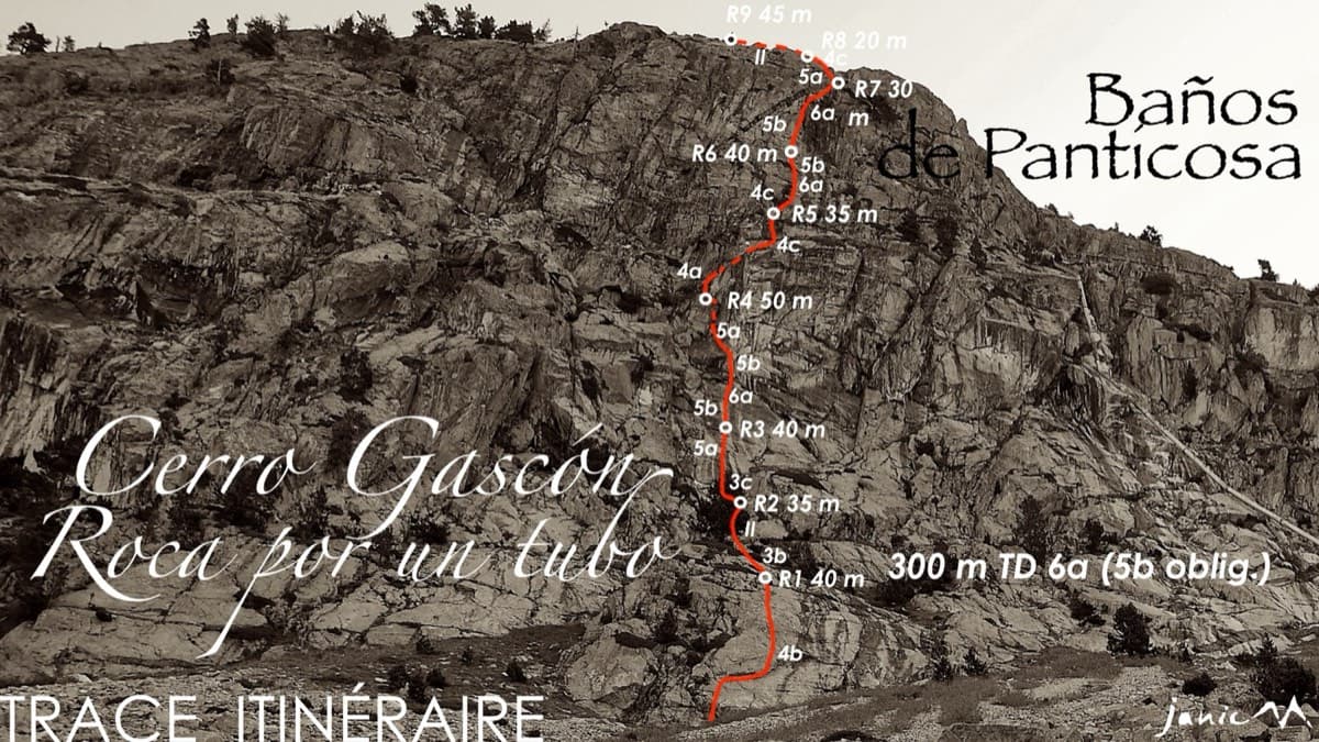
High-mountain granite slabs and dihedrals above the Panticosa spa. Three 6a cruxes mix friction slab with a short flaky roof on pitch 7.

6a9 pitches300 m

Read the cautions

The Pared del Ibón above Baños de Panticosa with the line and belays of Vía del Ibón

Spain · Aragonese Pyrenees (Tena & Canfranc valleys)

Vía del Ibón

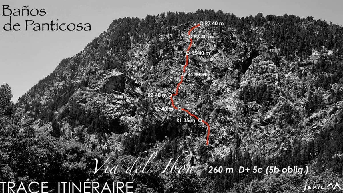
A mountain-style line on dark, weathered granite twenty-five minutes above the spa of Baños de Panticosa. It links ramps, a short overhanging break, slabs and a rounded boulder, with one well-bolted 5c move and the rest 4b to 5b. The rock between the good sections is earthy and lichenous, but the friction is excellent and the bolting generous.

5c7 pitches260 m

Around 5b · about 7 pitches

Similar elsewhere

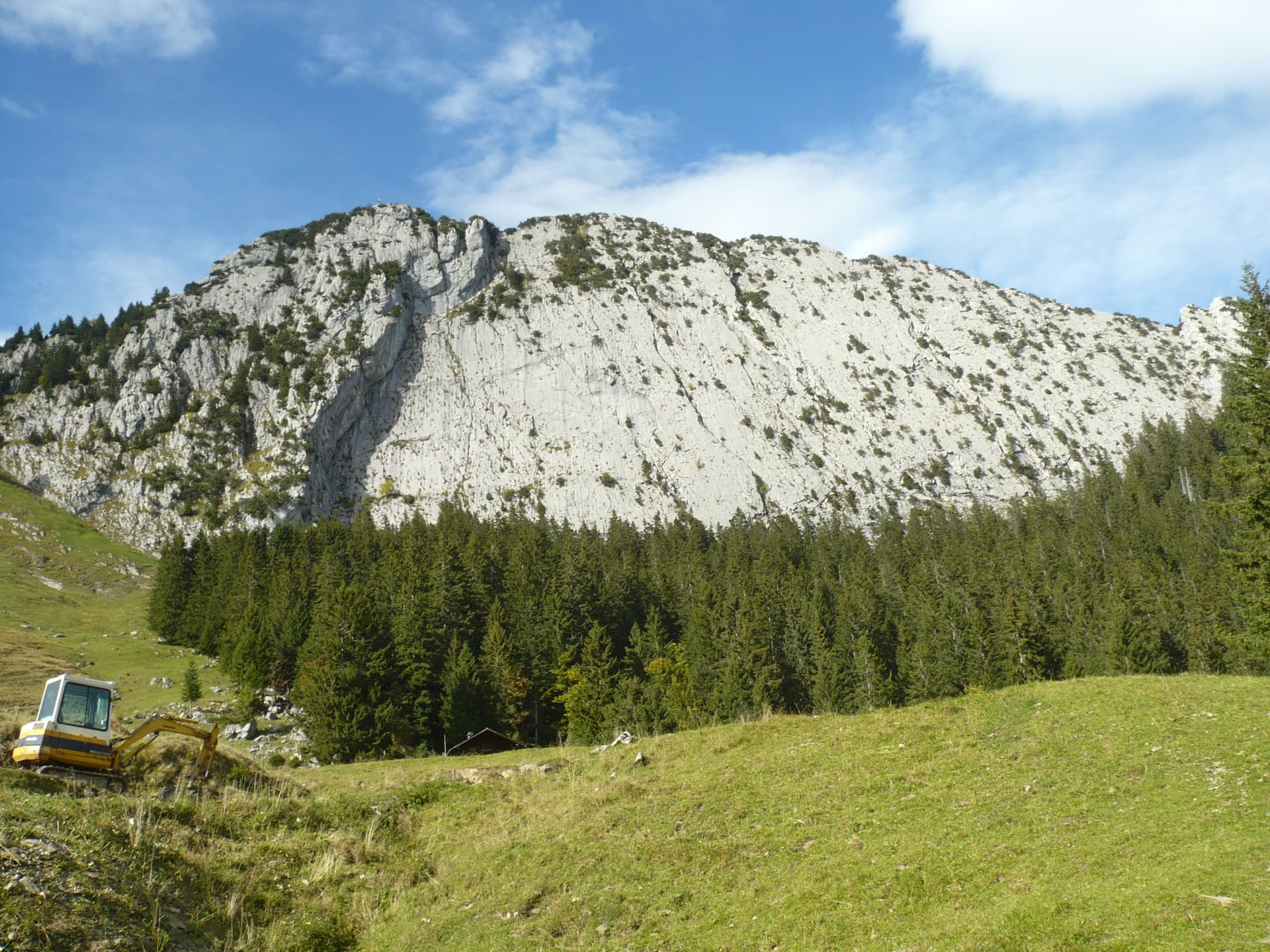
The slabby south face of the Brüggler above the pastures of the Schwändital.

Switzerland · Glarus (Brüggler)

Highway

Seven homogeneous pitches of grade 5 up the middle of the Brüggler's big limestone slab, much of it on water runnels, finishing among the pines near the summit cross. Never hard, but it climbs all the way and the bolts are not close. Best if you are solid at 5c.

5b7 pitches200 m

Read the cautions

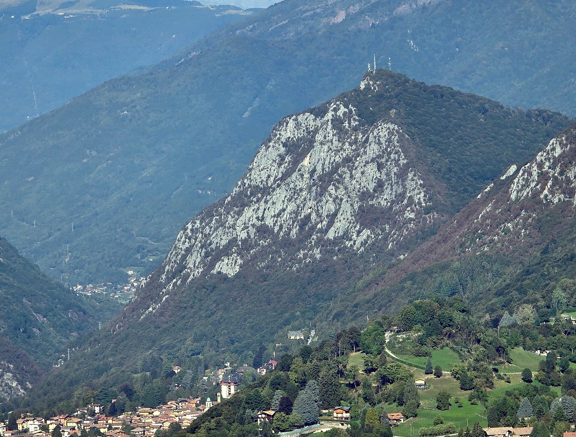
The south side of the Zucco dell'Angelone above Barzio, seen from the Zucco della Croce: the pale limestone spurs (speroni) that hold the multipitch routes run down from the antenna-topped summit. Condorpass is on the fourth spur; individual spurs are not labelled here.

Italy · Lecco & Valsassina

Condorpass

The first route opened on the Zucco dell'Angelone, following the natural line of the fourth spur by corners, cracks, a chimney and friction slabs. Eight varied pitches at 5a to 5b with an easy crest to finish. Never hard but never trivial either.

5b8 pitches220 m

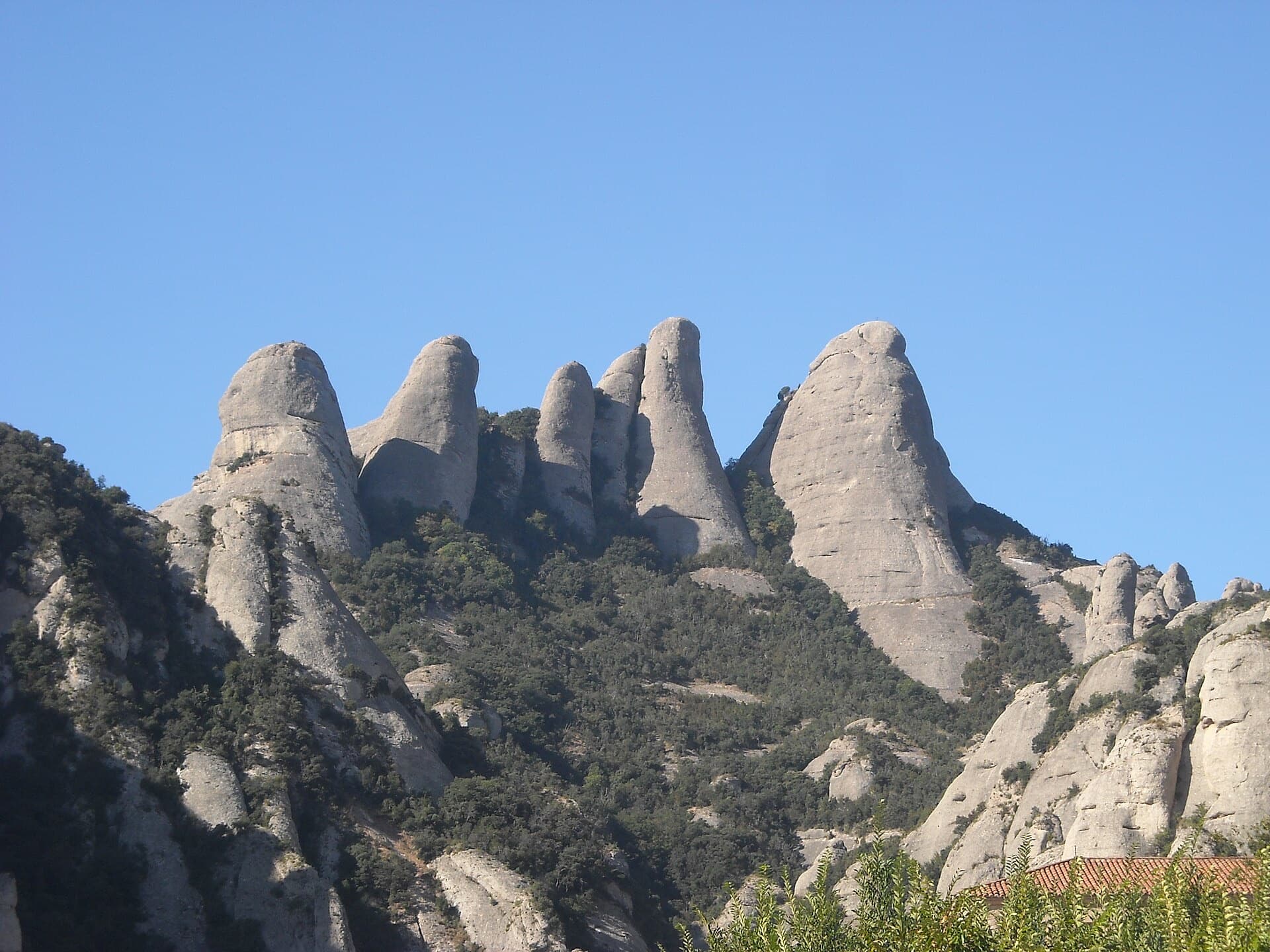
The Gorros of Montserrat from the monastery side: left to right the Gorra Marinera, the Magdalenes and the Gorra Frígia. Via Sargantanes climbs the Gorra Marinera, the left-hand tower.

Spain · Montserrat

Via Sargantanes

A popular first Montserrat multipitch close to the monastery. Steep pebble walls at 5b are split by easy slabs, finishing on an airy summit cap.

5b6 pitches145 m

Read the cautions

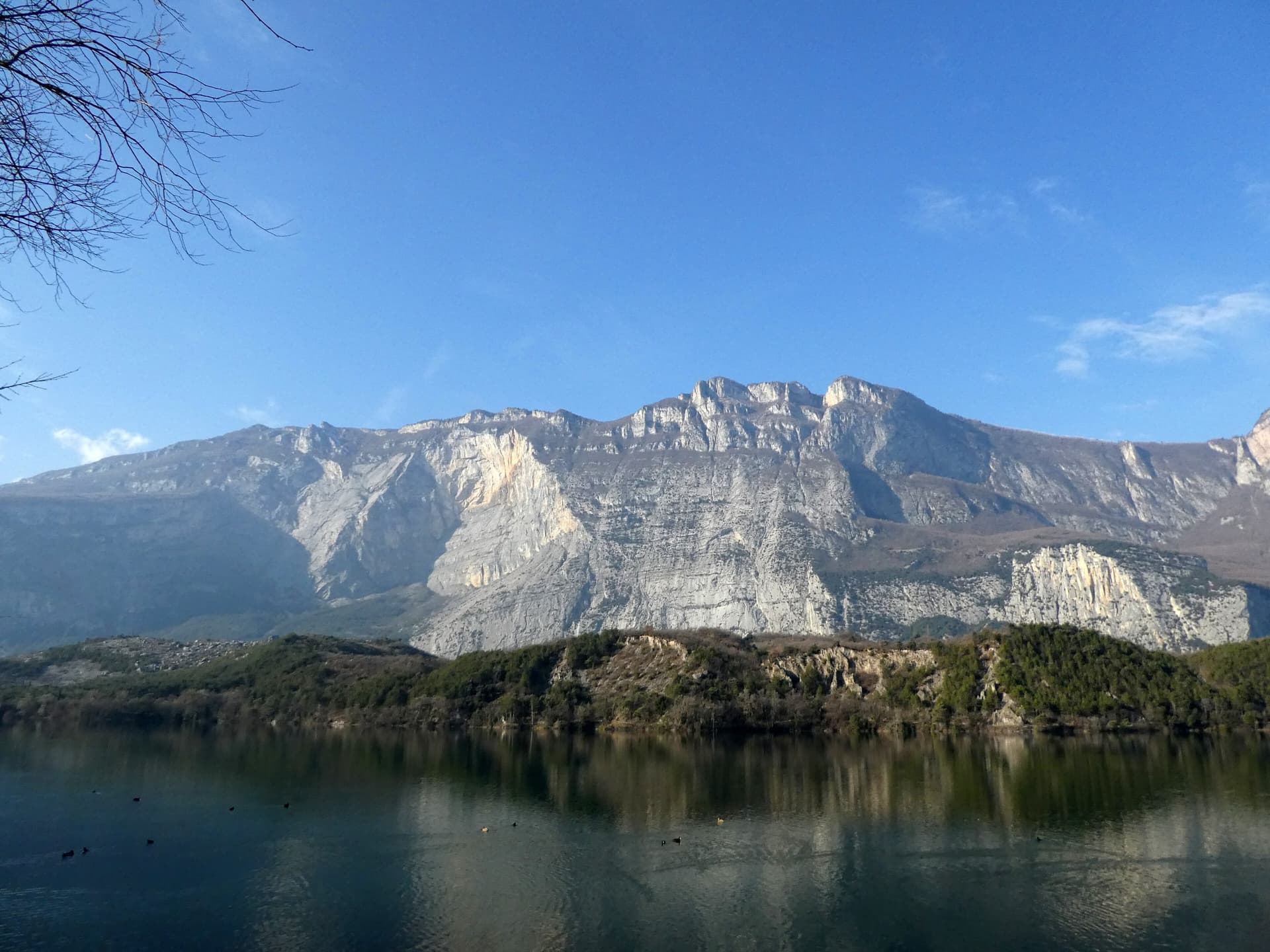
The east face of Monte Brento rising above Lago di Cavedine and the Marocche boulder field. The Placche Zebrate are the pale slab apron at the foot of the wall; the route's line is not marked.

Italy · Arco & Valle del Sarca

Man-Ilia

An easy, relaxing sport route on low-angle Zebrate slabs, trending left to right to join Cane Trippa at the fifth belay. It's an excellent first multipitch. Gulliver gives UIAA III / II–III / IV / IV–IV+ for the first four pitches, converted here.

5b6 pitches240 m

Compiled from published sources and last verified October 2026. Bolts, anchors and access change. Climbing is dangerous and you are responsible for your own decisions: check a current topo and read the disclaimer.