Switzerland · Ticino
Quarzader
Slab pitches give way to a vertical wall threaded with quartz veins, which gives the route its name. It is shady in the morning, and the pitches are short (about 35 m), so 11 go quickly.
6a11 pitches400 m
Speroni di Ponte Brolla · Ticino · Switzerland
Easy to bailBolting confidence: medium
A short four-pitch route on the black wall a little right of Quarzader. Slabs lead to short vertical walls where the difficulties are concentrated and well protected. Stiff grades, and a good fallback when the classic next door has a queue.
The route
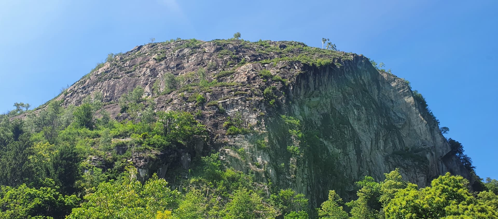
Oméga and its left-hand neighbour Alpha are two short Hans Müller routes of 1991 on a wall of dark gneiss a little right of Quarzader. Oméga is the harder: slab pitches of 4c and 5b, then a 6a pitch and a 5c pitch whose difficulties come in short vertical walls with the bolts close together. It is over in a couple of hours including the abseils, so most parties climb both routes in half a day. The grades come from Schweiz Plaisir Süd and are widely felt to be severe.
The climbing
| Pitch | Grade | Notes |
|---|---|---|
| P1 | 4c | Slab. |
| P2 | 5b | Slab. The slab grades surprise: a 2021 party would add a plus or even a full grade in places. |
| P3 | 6a | The crux, on a short vertical wall with the bolts very close. It was damp in July 2014 and still went. |
| P4 | 5c | Slab with a short steep wall to finish. |
Getting there
From Locarno follow the Valle Maggia road for about 4 km to Ponte Brolla. Go over the level crossing and continue a short way up the valley to the first pedestrian bridge over the Maggia (a red iron footbridge, not a true suspension bridge although some descriptions call it one); park opposite it or in the bays along the cantonal road. Spaces are limited at weekends. Ponte Brolla has a railway station on the Locarno to Domodossola line and buses from Locarno, and the SAC portal times the approach from the station.
From the parking take a stepped path for about 50 m, then follow the sign 'sentiero di montagna'. After a few zigzags you reach an electricity pylon; take the path clearly to the right, cross a stream (cairns; a 2019 landslide moved the ford a little downstream) and arrive at the foot of the spur. The SAC portal gives 30 minutes and 170 m of ascent from Ponte Brolla station (T3) and ten minutes less from the car park; camptocamp parties take about 20 minutes. Several faint tracks start through the wood and merge higher up. Oméga is on a wall a little to the right of Quarzader. Its name is painted at the start, though the paint has faded; Alpha is the next line to the left.
Loading map
The point marks the crag, not the exact start of the route.
Parking
Tegna – Ponte Brolla access point (camptocamp waypoint 219851); roadside parking along the cantonal road
Point from camptocamp waypoint 42199 (Speroni di Ponte Brolla)
Contains the route point and parking. Opens in most mapping apps and GPS watches.
Points are compiled from published sources, with the precision stated above. They were not surveyed on the ground: check them against a current topo.
Coordinates: 46.19302, 8.76617 (crag) · Parking: 46.18700, 8.75235
Getting down
Abseil the route. With a 70 m rope it takes four abseils; with two 60 m ropes a 2021 party got down in two. Parties on Alpha also come down this way because there is less vegetation.
Retreat
Easy to bail
Abseiling the route is the normal descent and the abseil belays are chained, apart from the top one. From any stance you can go down with a 70 m rope or two 60 m ropes.
Safety
Sun and weather
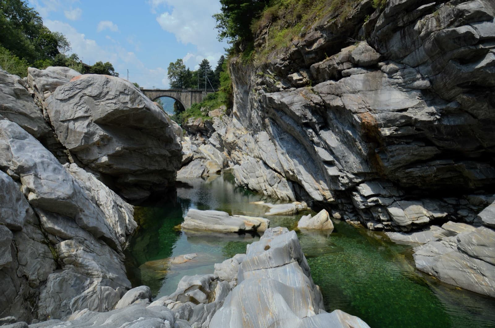
Low-altitude gneiss slabs facing west to north-west, between about 420 and 650 m. Spring and autumn are best and mild winter days work; the dark rock is very hot on summer afternoons, though there are natural pools in the Maggia just below. Sections stay wet for a while after rain: parties in April 2021 and July 2014 found seeping pitches on the neighbouring lines.
Sun on the wall · W-facing
Working out the sunlit hours for this month.
Sun on the wallDaylight, wall in shade● Usual season
Estimated from the wall's aspect only. Ignores surrounding terrain, gullies and the wall's exact shape. Clock times are local to the wall (Central European time), for the 15th of each month.
| Measure | Jan | Feb | Mar (usual season) | Apr (usual season) | May (usual season) | Jun (usual season) | Jul | Aug | Sep (usual season) | Oct (usual season) | Nov (usual season) | Dec |
|---|---|---|---|---|---|---|---|---|---|---|---|---|
| Mean daily high °C | 6 | 7 | 11 | 14 | 19 | 23 | 25 | 25 | 20 | 16 | 10 | 6 |
| Mean daily low °C | −2 | −2 | 1 | 5 | 9 | 13 | 15 | 15 | 12 | 8 | 3 | −1 |
| Rain days 1 mm or more | 9 | 9 | 11 | 13 | 16 | 16 | 14 | 14 | 13 | 14 | 12 | 10 |
● marks the usual climbing season. Averages for 1991-2020 at about 432 m. Area climate from Open-Meteo reanalysis. Temperatures are adjusted to the height of the crag; rain comes from a grid cell of about 10 to 25 km, and summer highs on sea cliffs can read a few degrees low. The wall and valley can differ. Data: Open-Meteo, CC BY 4.0.
What to carry
A 70 m single rope or two 60 m ropes. No source gives a quickdraw count. Slings to link the belay bolts where they are not chained. Helmet.
Derived from the route data; check it against a current topo
From climbers
Reader reports are not being collected yet. Until they are, check a current topo and the local club or guidebook publisher for recent changes to Oméga.
Worth knowing
Open questions
Provenance
Same area
Switzerland · Ticino
Slab pitches give way to a vertical wall threaded with quartz veins, which gives the route its name. It is shady in the morning, and the pitches are short (about 35 m), so 11 go quickly.
6a11 pitches400 m
Switzerland · Ticino
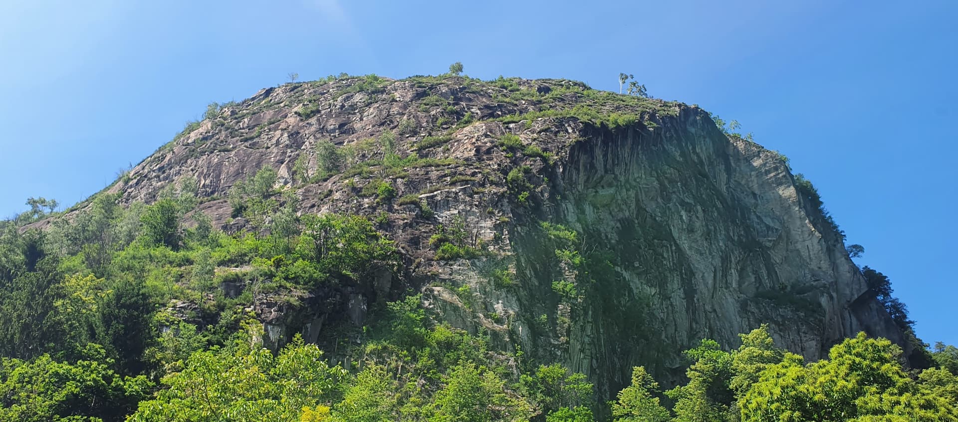
The easy neighbour of Quarzader: seven pitches of gneiss slab and small steps up the right-hand spur above the Maggia, at 4b if you take the right-hand finish. Much quieter than Quarzader and very well bolted. Finish with a swim in the river.
4b7 pitches250 m
Switzerland · Ticino
An easy, sustained slab route following the edge of the spur just left of Quarzader. Every pitch is about 4c on compact gneiss, so there is no real crux and no real rest. Impossible to lose and often crowded.
4c7 pitches210 m
Switzerland · Ticino
The long classic of Monte Garzo: eighteen pitches from the valley floor. The first ten are compact slabs that punish the feet, then a 40 m walk leads to a steeper upper wall with athletic pitches up to 6b+. Sustained, obligatory and long; allow six to eight hours.
6b+18 pitches600 m
Read the cautions
Around 6a · about 4 pitches
Spain · Montserrat
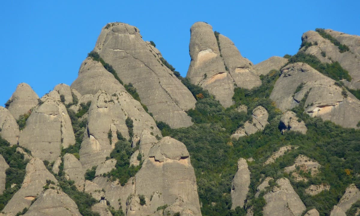
An exposed, airy line with unusually good holes and jugs for Montserrat, shaded in the afternoon. The 6a pitch is a sustained vertical 20 m. Going straight up instead of following the line is closer to 6b+.
6a4 pitches140 m
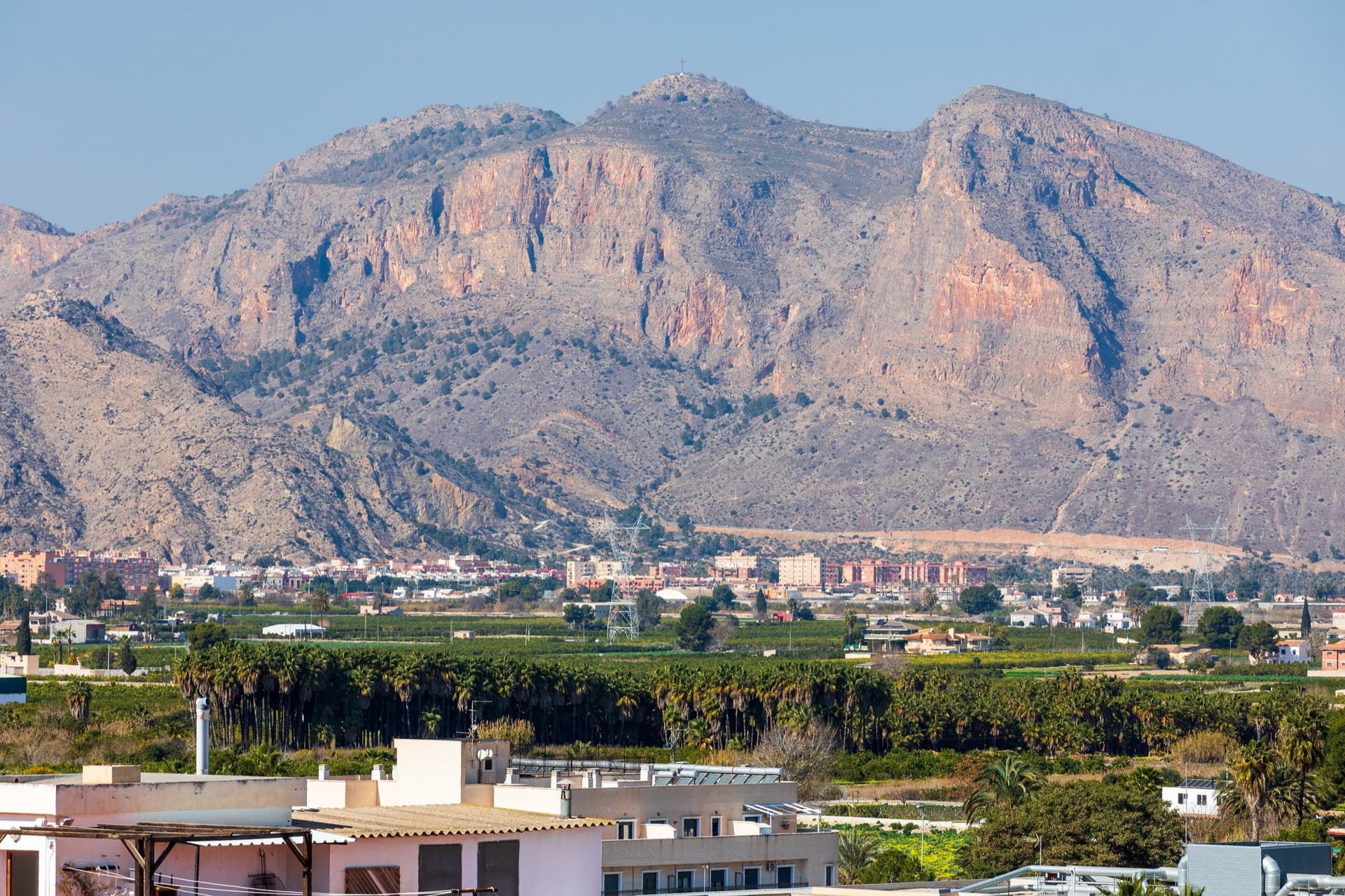
Spain · Vega Baja (Orihuela & Callosa)
A popular modern four-pitch classic on Pared Negra's compact grey limestone, around UIAA 6/6+ (about French 6a). Best on cool, sunny winter days.
6a4 pitches150 m
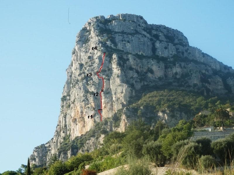
France · Baou de Saint-Jeannet
The most accessible bolted multipitch on the Baou: four homogeneous pitches of French 5+ with one move of 6a, up a crack, corners and sculpted stratified walls, with an airy traverse on pitch 3. Short enough for half a day. Local grades are stiff, the first pitch is polished and the easy sections are run-out.
6a4 pitches120 m
Read the cautions
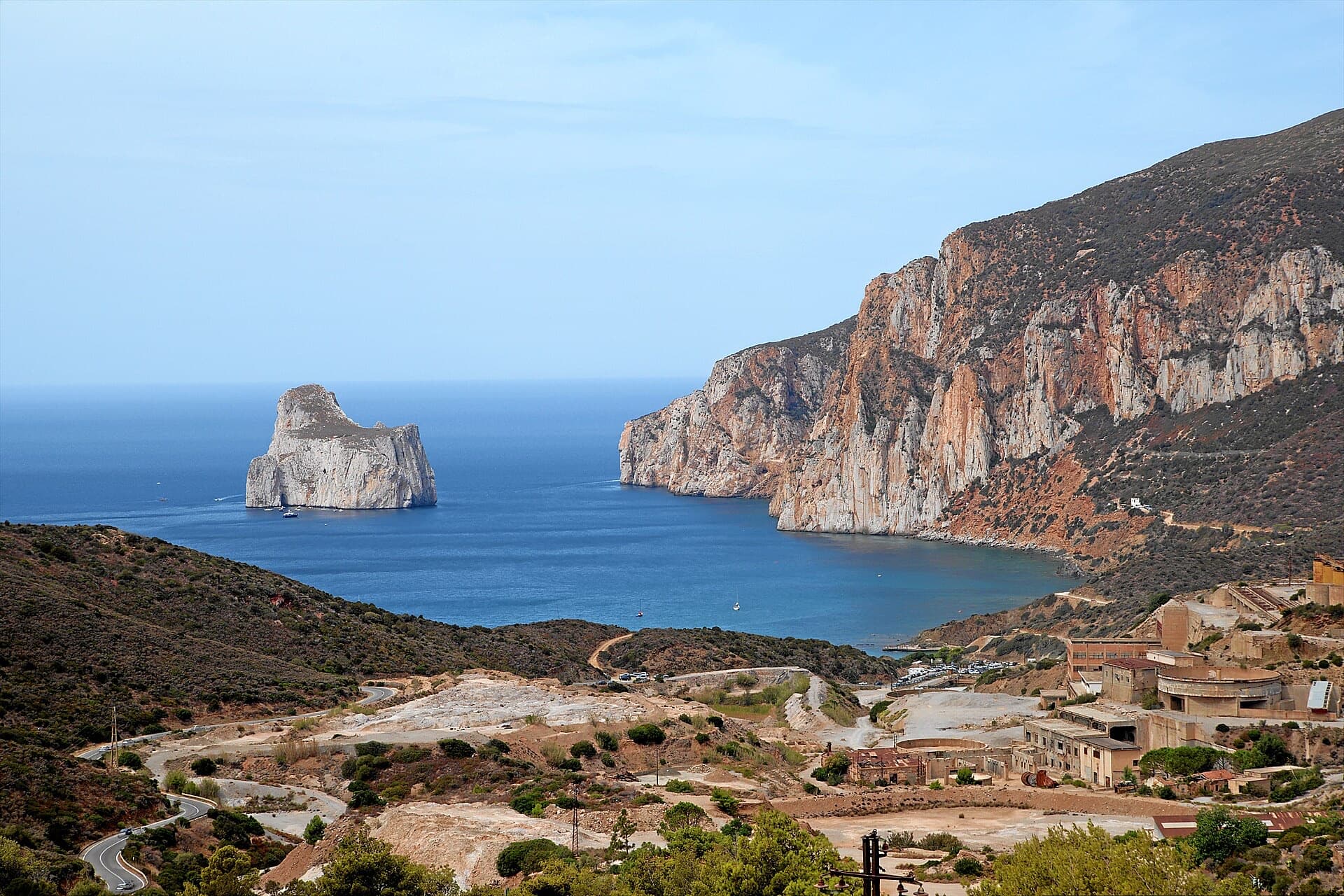
Italy · Sardinia
A short but superb sea-cliff route on beautifully sculpted limestone in an incredible setting near Pan di Zucchero. Corners and an airy pillar lead to a steep, rounded 6a wall. Camptocamp rates it 'great'.
6a4 pitches120 m
Compiled from published sources and last verified October 2026. Bolts, anchors and access change. Climbing is dangerous and you are responsible for your own decisions: check a current topo and read the disclaimer.