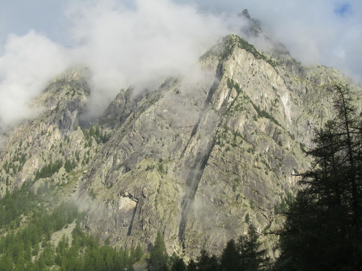
France · Ailefroide
Palavar-les-Flots
Ailefroide's best-known easy long route: a consistent run of 4th-grade slab and pillar climbing with two harder steps (5b+ on L4, a 5c friction move on L8). It is very popular, so start early.
5c12 pitches310 m
Orage d'étoiles sector (Pelvoux foothills) · Ailefroide · France
Bail with caveatsBolting confidence: high
Fourteen pitches and 500 m at a steady 5c on the Pelvoux foothills. The first six pitches are plain slab; after an easy traverse the second half is the reward, with a layback, spurs covered in quartz knobs and the famous 'bridge', a tree trunk you walk across above a green gully.
The route
Rivière Kwaï is the long, moderate outing of the Orage d'étoiles sector, a neighbour of the route that names the sector and a little harder. It starts 5 m left of the Pilier du Levant and climbs six pitches of slab that most parties find a little monotonous. Above an easy traversing pitch the character changes: steeper climbing on big holds and knobs, an unforgettable crossing of a gully on a fallen tree with a fixed rope as a handrail, and a vertical wall near the top. Everything is on glue-ins. Allow a full day: parties take about 5 to 7 hours on the route and well over an hour to get down.
The climbing
| Pitch | Grade | Length | Notes |
|---|---|---|---|
| P1 | 5b | 30 m | Traverse left; do not climb straight up or you end up on the Pilier du Levant, which has hangers (Rivière Kwaï is all glue-ins). |
| P2 | 5c | 35 m | Slab. A 2026 party notes that the belay is at the start of the leftward traverse and easy to miss, and that pitches 1 and 2 cannot be linked. |
| P3 | 5c | 30 m | Slab with one distinctly hard slab move for the grade. |
| P4 | 5b | 25 m | An awkward start and a stubborn slab before the belay. Can be linked with pitch 3 if you manage the drag. |
| P5 | 5c | 35 m | Slab. theCrag gives 5c+. |
| P6 | 5a | 40 m | Easier slab. You can escape from here by the abseils of the Pilier du Levant, but the best climbing is still to come. |
| P7 | 3a | 40 m | Go up a few metres above the belay (not to the crest) and traverse horizontally left. There are six bolts, some hard to see. |
| P8 | 5c+ | 45 m | A layback, then a superb little spur covered in knobs. |
| P9 | 5c+ | 32 m | Slab and knobbly spur. A 2026 party thinks the descriptions of pitches 9 and 10 are swapped: they found this one short and no harder than 5b+. |
| P10 | 5c+ | 20 m | Slab and knobbly spur; the same party found this the longer and harder of the two. Pitches 9 and 10 can be linked. |
| P11 | 4b | 35 m | Easy ground leading to the gully. |
| P12 | 5b | 25 m | Cross the 'bridge over the River Kwai', a tree trunk spanning a green gully, with a fixed rope for those who want a handrail, then traverse. Can be linked with pitch 11. |
| P13 | 5c+ | 35 m | A vertical wall on big holds that are sometimes far apart, then slab. |
| P14 | 4c | 40 m | Easy-angled slab to the top. |
Getting there
Ailefroide (1500 m) is at the head of the Vallouise valley: from Briançon go to L'Argentière-la-Bessée (railway station on the Marseille, Gap, Briançon line), then Vallouise, Pelvoux and Ailefroide. A seasonal bus runs between Briançon and the Pré de Madame Carle. The road is closed in winter at Pelvoux-les-Claux. Ailefroide has a large campsite and every route here is reached on foot from it. For this sector, turn left just before the Hôtel Restaurant Engilberge onto the road to the car parks for the Selé and Pelvoux huts and park 50 to 100 m further on, on the outside of a slight left-hand bend.
From the car park a path climbs almost straight up to the foot of the 'Étoiles' teaching crag. At the crag, traverse right on the path that leads to the foot of the Pilier du Levant. Start 5 m left of that route. Do not go up into the gorge towards an abseil station. A 2026 party took 35 min on foot from the campsite; camptocamp records 160 m of height gain.
Loading map
The point marks the crag, not the exact start of the route.
Parking
Ailefroide (camptocamp waypoint 106735)
Point from camptocamp waypoint 546826 (Orage d'étoiles sector); theCrag gives the same point
Contains the route point and parking. Opens in most mapping apps and GPS watches.
Points are compiled from published sources, with the precision stated above. They were not surveyed on the ground: check them against a current topo.
Coordinates: 44.88890, 6.43887 (crag) · Parking: 44.88434, 6.45069
Getting down
By abseil on a line separate from the route: 40 m straight down the slab; 48 m over a roof (free-hanging) to a station at the foot of the slab; 48 m down a wall and a V-shaped gully to the spur on its true left (a hanger marks the line to the station); 40 m at an easy angle, after which you walk along a ledge, with a handline, to a spur and a cairn for the fifth station; 48 m, vertical, then aiming for the true left of the gully; 48 m to a station on a ledge path from which you walk down past two old fixed ropes. A 2026 party took 1 h 40 min for the six abseils and the walk. Alternatively, from the last belay of the neighbouring route 'Oh ! Désespoir', 10 m below and left of the top, a 47 m abseil leftwards reaches the abseil line of Orage d'étoiles (six abseils plus one optional).
Retreat
Bail with caveats
The documented escape is at the top of pitch 6, where the abseils of the Pilier du Levant are within reach. A 2017 party that retreated after pitch 7 traversed about 20 m left on unprotected but easy ground to a spur with an abseil station and made two 50 m abseils to the path. Above that, no retreat is described and the route moves across a gully, so finishing and using the normal abseil line is the usual way off.
Safety
Sun and weather
East facing between about 1660 and 2160 m, in the sun from early morning. Recent summer parties suffered from heat and sore feet and ran short of water with a litre each. The slabs need dry rock, and afternoon storms are common.
Sun on the wall · E-facing
Working out the sunlit hours for this month.
Sun on the wallDaylight, wall in shade● Usual season
Estimated from the wall's aspect only. Ignores surrounding terrain, gullies and the wall's exact shape. Clock times are local to the wall (Central European time), for the 15th of each month.
| Measure | Jan | Feb | Mar | Apr | May | Jun (usual season) | Jul (usual season) | Aug (usual season) | Sep (usual season) | Oct | Nov | Dec |
|---|---|---|---|---|---|---|---|---|---|---|---|---|
| Mean daily high °C | −0 | 1 | 5 | 7 | 12 | 18 | 21 | 22 | 17 | 12 | 5 | 0 |
| Mean daily low °C | −7 | −7 | −4 | −0 | 3 | 8 | 11 | 11 | 7 | 3 | −3 | −6 |
| Rain days 1 mm or more | 11 | 10 | 11 | 12 | 14 | 17 | 15 | 13 | 12 | 11 | 12 | 12 |
● marks the usual climbing season. Averages for 1991-2020 at about 1496 m. Area climate from Open-Meteo reanalysis. Temperatures are adjusted to the height of the crag; rain comes from a grid cell of about 10 to 25 km, and summer highs on sea cliffs can read a few degrees low. The wall and valley can differ. Data: Open-Meteo, CC BY 4.0.
What to carry
Two 50 m ropes for the abseils (several are 48 m). Sources do not give a quickdraw count. Helmet, and plenty of water.
Derived from the route data; check it against a current topo
From climbers
Reader reports are not being collected yet. Until they are, check a current topo and the local club or guidebook publisher for recent changes to Rivière Kwaï.
Worth knowing
Open questions
Provenance
Same area
France · Ailefroide
Ailefroide's best-known easy long route: a consistent run of 4th-grade slab and pillar climbing with two harder steps (5b+ on L4, a 5c friction move on L8). It is very popular, so start early.
5c12 pitches310 m
France · Ailefroide
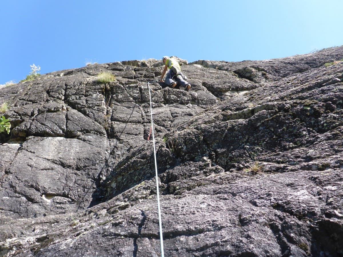
A long, sunny outing up a series of granite steps, consistently in the 5th grade, finishing with a great view over La Draye. Grassy ramps separate the tiers, so the climbing never feels exposed.
5c14 pitches450 m
France · Ailefroide
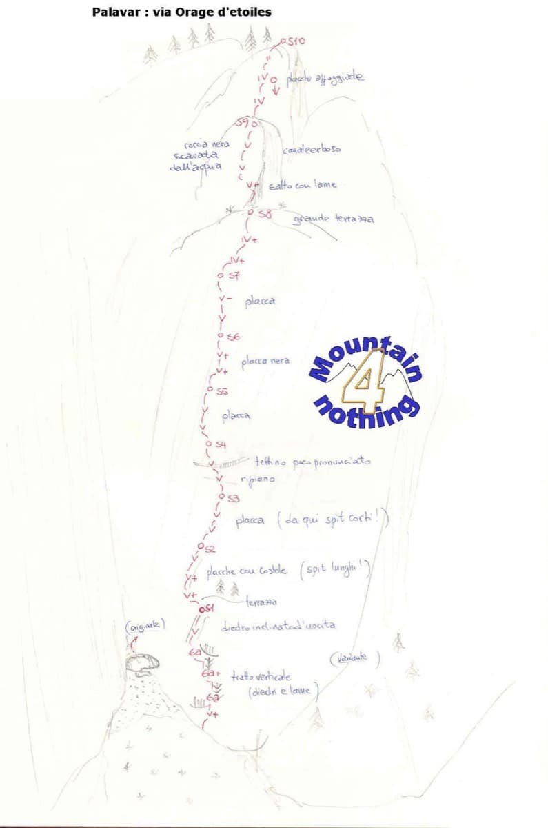
One of the best-known slab routes at Ailefroide: eleven pitches up the big inclined plane on the foothills of the Pelvoux, directly above the village. The style never changes, slab from bottom to top, mostly 5b with two pitches of 5c. The approach gully, damaged by a rockfall in 2013, is the serious part of the day.
5c11 pitches300 m
Read the cautions
France · Ailefroide
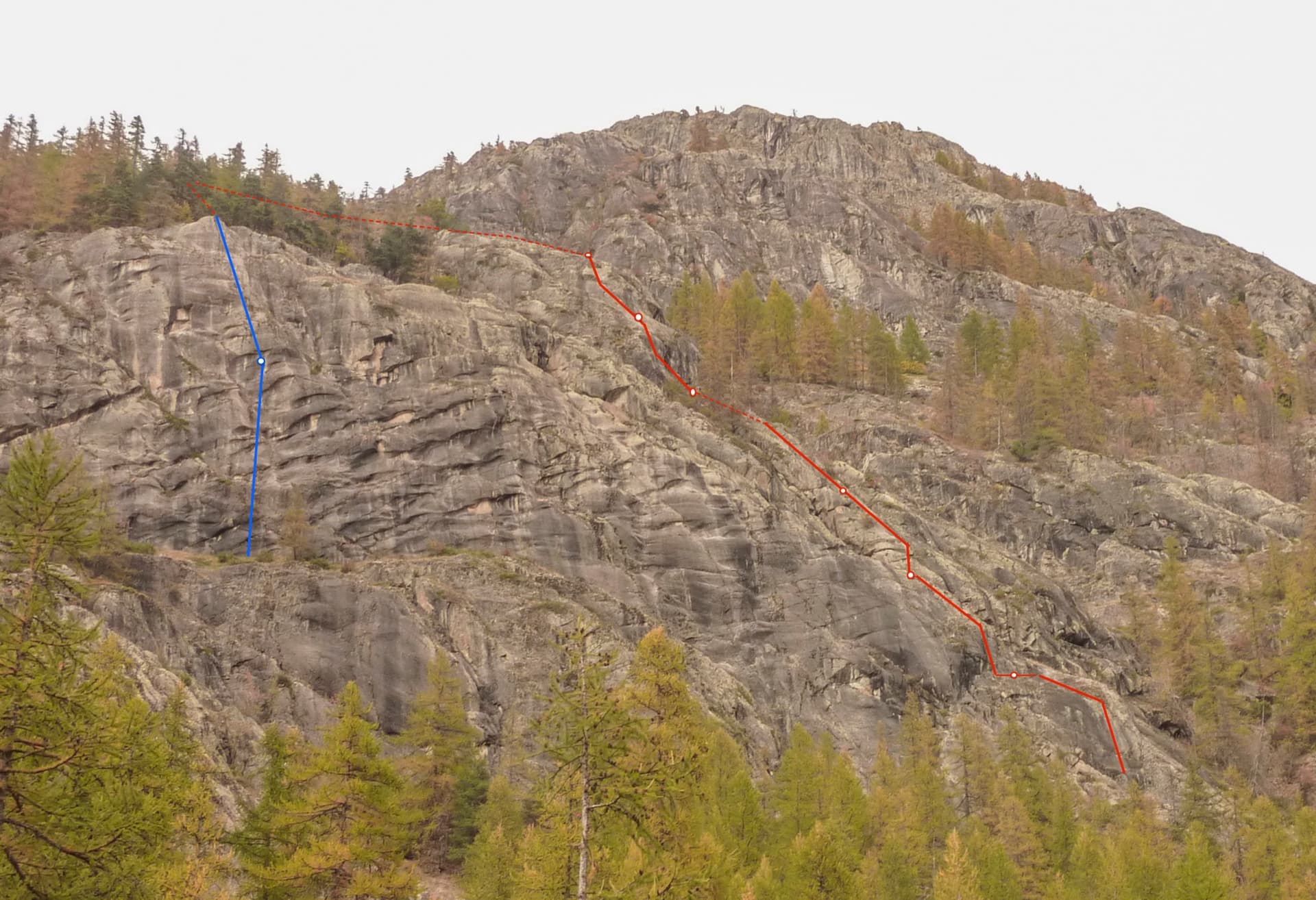
The beginners' multipitch of Ailefroide: seven short pitches of easy-angled granite slab with two steeper steps, bolted close enough for a first lead. It is very popular, so the belays have been doubled. The descent ends with a spectacular 50 m free-hanging abseil.
5b7 pitches200 m
Around 5c+ · about 14 pitches
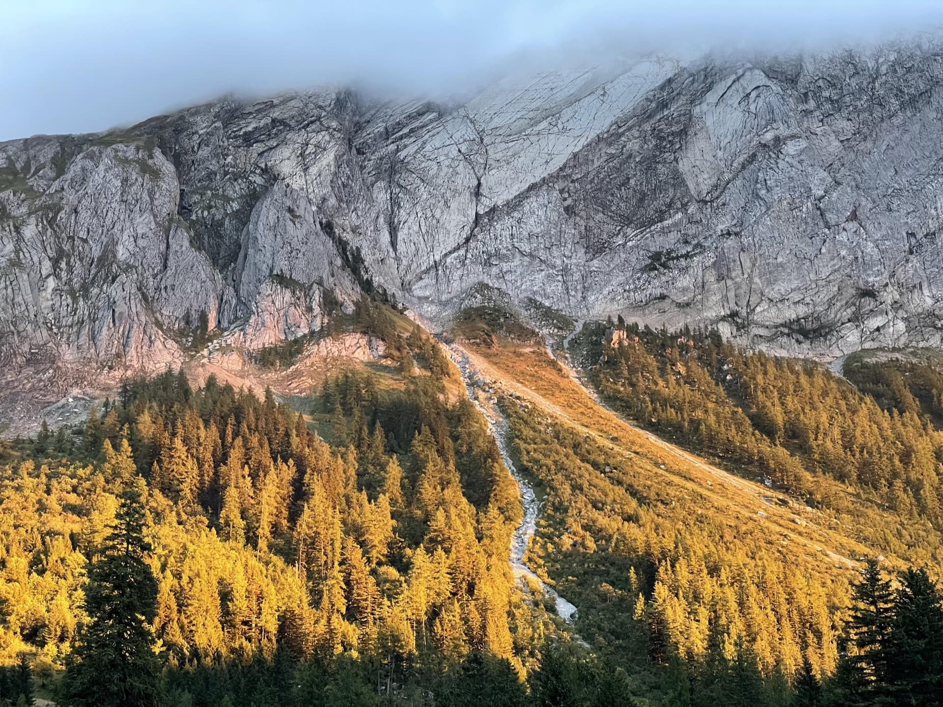
Switzerland · Vaud Alps
The bolted way up the Miroir d'Argentine: fourteen pitches of compact limestone slab, with the difficulties in the first four pitches and long, easy, run-out friction above. A big day out at a modest grade with a mountain walk-off. Do not underestimate it.
5c+14 pitches400 m
Read the cautions
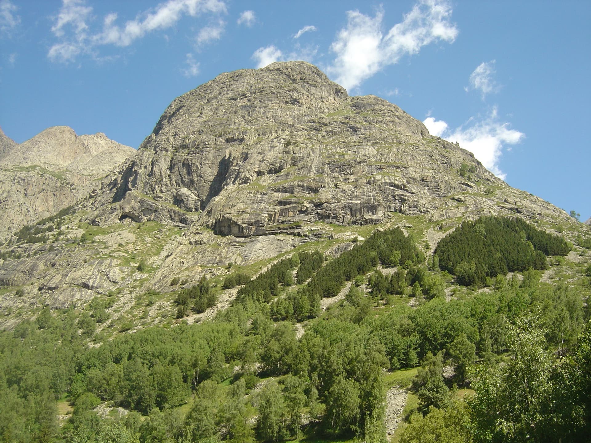
France · La Bérarde (Écrins)
The great classic of the Tête de la Maye: 13 pitches of rounded granite slab above La Bérarde with nothing athletic until the last hard pitch, a flake and wide crack of 5c+ that everyone remembers. Recently rebolted and very closely protected. It is camptocamp's reference route for the overall grade D.
5c+13 pitches350 m
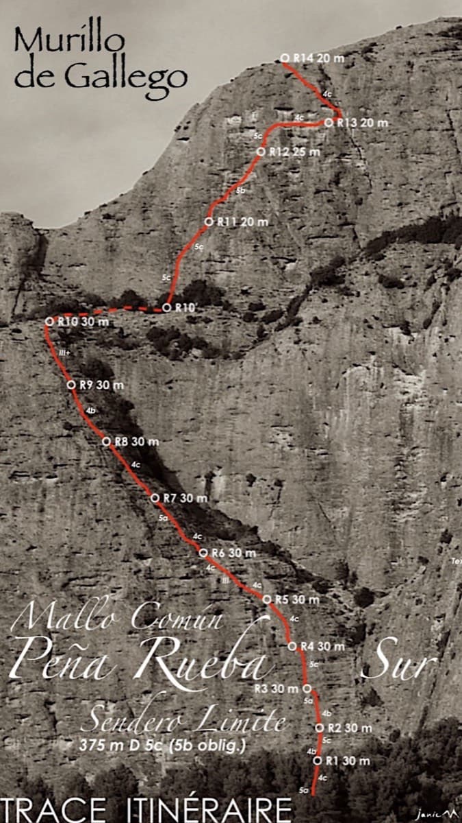
Spain · Riglos & Agüero (Mallos)
A long beginner's big route on good conglomerate at a moderate angle. Pitches can be linked in pairs with a 60 m rope. A four-pitch headwall with a couple of panzas finishes high above the Gállego valley.
5c14 pitches375 m
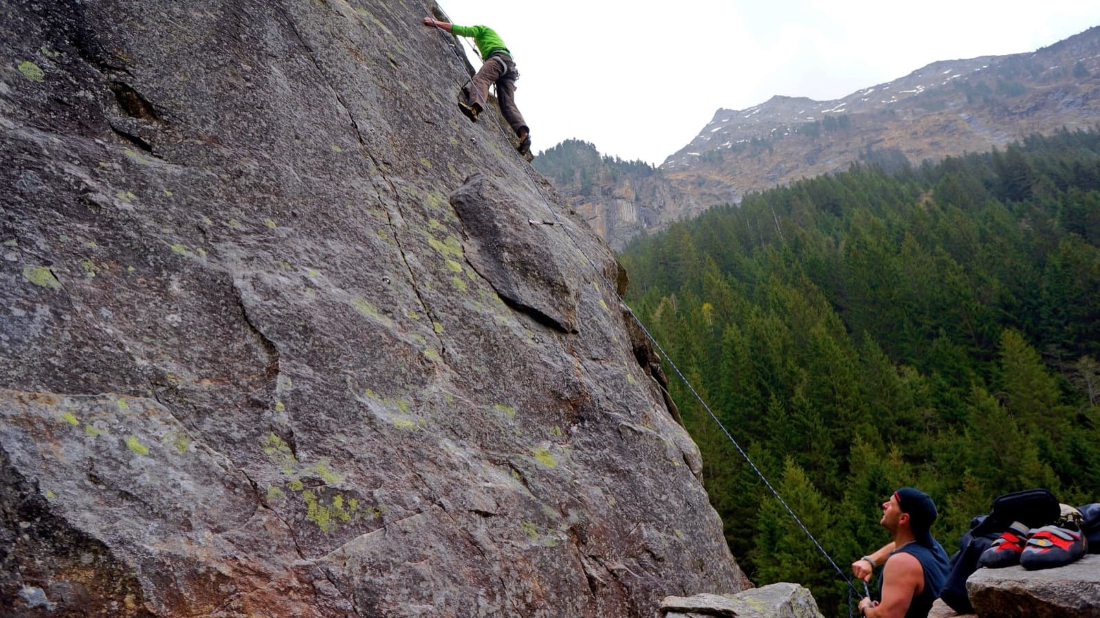
Austria · Zillertal
Twelve long pitches of slab climbing up an unremarkable-looking wall near the Klausenalm, getting harder towards the top. The length, the bolting and the short approach are rare in the Eastern Alps. The price is the descent: a steep, rough scramble and four abseils that the sources call delicate.
5c+12 pitches570 m
Read the cautions
Compiled from published sources and last verified October 2026. Bolts, anchors and access change. Climbing is dangerous and you are responsible for your own decisions: check a current topo and read the disclaimer.