Multipitch Atlas

Santi Sagaste

Peña Rueba south face (Mallo la Mora), Murillo de Gállego · Riglos & Agüero (Mallos) · Spain

Bail not documentedBolting confidence: high

A classic of the south face: a steep 6a start that most people ease by standing in the juniper, then seven pitches of grade 4 to 5+ with a short bulge on almost every one. Sound rock until the last two pitches and bolting that lets a 5c climber enjoy it.

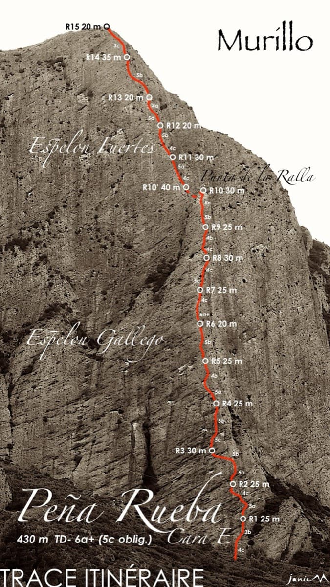
Photo-topo of Santi Sagaste on Mallo la Mora, south face of Peña Rueba, with belays and pitch lengthsPhoto: janic · CC BY-SA 3.0

Topo

Photo-topo of Santi Sagaste on Mallo la Mora, south face of Peña Rueba, with belays and pitch lengthsPhoto: janic · CC BY-SA 3.0
Hardest pitch
6a
Pitches
8
Length
240 m
Approach
30 min
Aspect
S
South-facing
Rope
2×60 m recommended

The route

Overview

Santi Sagaste climbs the right-hand side of the south face of Mallo la Mora on Peña Rueba, above Murillo de Gállego. After a short, steep 6a start the route settles into easy-angled conglomerate broken by bulges ('panzas'), mostly at 4+ to 5+. Camptocamp grades it TD-, 6a with 5c obligatory. It is one of the most repeated routes on the hill and a good first route on conglomerate, less steep and less intimidating than Riglos opposite. The last two pitches are on poorer rock.

The climbing

Pitch by pitch

Pitches of Santi Sagaste
PitchGradeLengthBoltsNotes
P16a20 m7 boltsA steep start: climb the juniper to avoid the first bulge, as on the neighbouring routes. After 15 vertical metres the angle eases to the belay.
P24+35 m8 boltsEasy-angled middle ground with a few moves and two bulges, trending right. Can be linked with pitch 1.
P34+30 m8 boltsMore sustained at the grade.
P45+30 m9 boltsSeveral bulges. Can be linked with pitch 3.
P55+30 m5 boltsA bulge right of the belay, then slightly left.
P65+35 m10 boltsAn easy step, then a bulge taken by a traverse left, then straight up. Pitches 5 and 6 are hard to link because of drag.
P7530 m10 boltsThe higher you go, the more care the rock needs. A belay on a tree with a chain is possible.
P8330 m4 boltsPoor rock; usually linked with pitch 7.

Getting there

Approach

To the parking

On the A-132 at Murillo de Gállego, take the street climbing right at the entrance to the village (coming from the north), tarmac at first, then a track on the right for about 3 km past two water reservoirs to a parking area for a handful of cars (Los Ballatíes).

On foot · about 30 min

About 30 minutes. Take the cairned path up a spur, first on its right flank and then along its crest, towards the wall. Just before reaching the walls take the cairned path on the right, which runs along about 20 m below the cliff. The start is in a small bay where the path comes close to the rock; the name is written at the foot. Many lines start close together, so check the topo.

Map of the walk-in

  • Crag
  • Parking

Loading map

The point marks the crag, not the exact start of the route.

Coordinates · crag

42.35594, -0.76100

Parking

42.35191, -0.76694

Los Ballatíes: widening on the track about 3 km from Murillo de Gállego, past the two water reservoirs (camptocamp access waypoint 1116050). The track is rutted with two steep sections.

Point from camptocamp waypoint 752246 (Peña Rueba, Cara S, Mallo la Mora)

For your phone or watch

Download GPX

Contains the route point and parking. Opens in most mapping apps and GPS watches.

Points are compiled from published sources, with the precision stated above. They were not surveyed on the ground: check them against a current topo.

Getting down

Descent

On foot, about 1.5 hours. From the summit go down to the small notch to the north, then take the wooded gully to the east, with ropes and chains for the first 20 m below the notch and easy down-climbing after. Cross the lower part of the gully, climb the far bank and keep traversing, rising slightly between the wall and a line of junipers, across another gully to join the south via ferrata, which you descend.

Retreat

Bailing off the route

Bail not documented

No source describes abseiling this route or how its belays are rigged. The neighbouring Dos Diablos has ringed belays and an abseil line with 2×60 m ropes, and camptocamp recommends 60 m double ropes here, but that is not confirmation for this route.

Retreat from
Not documented. A tree with a chain is mentioned at the top of pitch 7.
Point of no return
Not documented. The difficulty is highest in the first 15 m, so a party that gets up pitch 1 should manage the rest.
Carry
Two 60 m ropes if you want the option, plus a maillon or two in case the belays are not rigged.
Basis
Inferred from the route factsCamptocamp gives only a walk-off; the rope recommendation and the neighbouring route's rigging are the only hints.

Partly inferred from the route facts

Safety

Hazards

  • Loose rock on pitches 7 and 8.
  • The face is busy and the routes are close together; stonefall from parties above, and from your own rope, is the main risk.
  • The descent follows fixed ropes, chains and via ferrata cables; one party found it tiring.

Sun and weather

Conditions

South-facing, about 800 to 1007 m. Outings are logged from late October to mid-May, including December and March. Often windy: parties report 50 km/h gusts and a cold first pitch in April.

Usual season · Mar to May, Oct to Nov

Sun on the wall · S-facing

Working out the sunlit hours for this month.

  • January: not yet worked out
  • February: not yet worked out
  • March (usual season): not yet worked out
  • April (usual season): not yet worked out
  • May (usual season): not yet worked out
  • June: not yet worked out
  • July: not yet worked out
  • August: not yet worked out
  • September: not yet worked out
  • October (usual season): not yet worked out
  • November (usual season): not yet worked out
  • December: not yet worked out

Sun on the wallDaylight, wall in shade● Usual season

Estimated from the wall's aspect only. Ignores surrounding terrain, gullies and the wall's exact shape. Clock times are local to the wall (Central European time), for the 15th of each month.

Monthly climate averages for Riglos & Agüero (Mallos), 1991-2020
MeasureJanFebMar (usual season)Apr (usual season)May (usual season)JunJulAugSepOct (usual season)Nov (usual season)Dec
Mean daily high °C9101416202629292418129
Mean daily low °C1135913161612942
Rain days 1 mm or more97910107678998

● marks the usual climbing season. Averages for 1991-2020 at about 612 m. Area climate from Open-Meteo reanalysis. Temperatures are adjusted to the height of the crag; rain comes from a grid cell of about 10 to 25 km, and summer highs on sea cliffs can read a few degrees low. The wall and valley can differ. Data: Open-Meteo, CC BY 4.0.

What to carry

Gear

16 quickdraws, some of them extendable, plus belay gear if you want to link pitches. Camptocamp recommends 60 m double ropes. A via ferrata lanyard is sensible for the descent. No cams or nuts needed.

Checklist

Quickdraws
16
Rope
2×60 m recommended
Helmet
One each
Maillons or spare karabiners
To leave behind if you retreat

Derived from the route data; check it against a current topo

From climbers

Reader reports

Reader reports are not being collected yet. Until they are, check a current topo and the local club or guidebook publisher for recent changes to Santi Sagaste.

Worth knowing

Tips

  • Allow about 4 hours on the route and 6 hours car to car.
  • Use the tree to start pitch 1; after that the climbing flows.
  • Linking 1 with 2, 3 with 4 and 7 with 8 works with 60 m ropes and long quickdraws.

Open questions

Where sources disagree

  • Pitch grades: the camptocamp table gives 6a, 4+, 4+, 5+, 5+, 5+, 5, 3; the photo-topo on the same page marks pitch 3 as 5b and the upper pitches as 5c and 5b. The differences are within a grade.
  • Approach: this route's page describes the cairned spur from the west; the pages for its neighbours describe the main path from the track. Both arrive at the same ledge.

Provenance

Sources

Same area

More in Riglos & Agüero (Mallos)

All routes in Riglos & Agüero (Mallos)
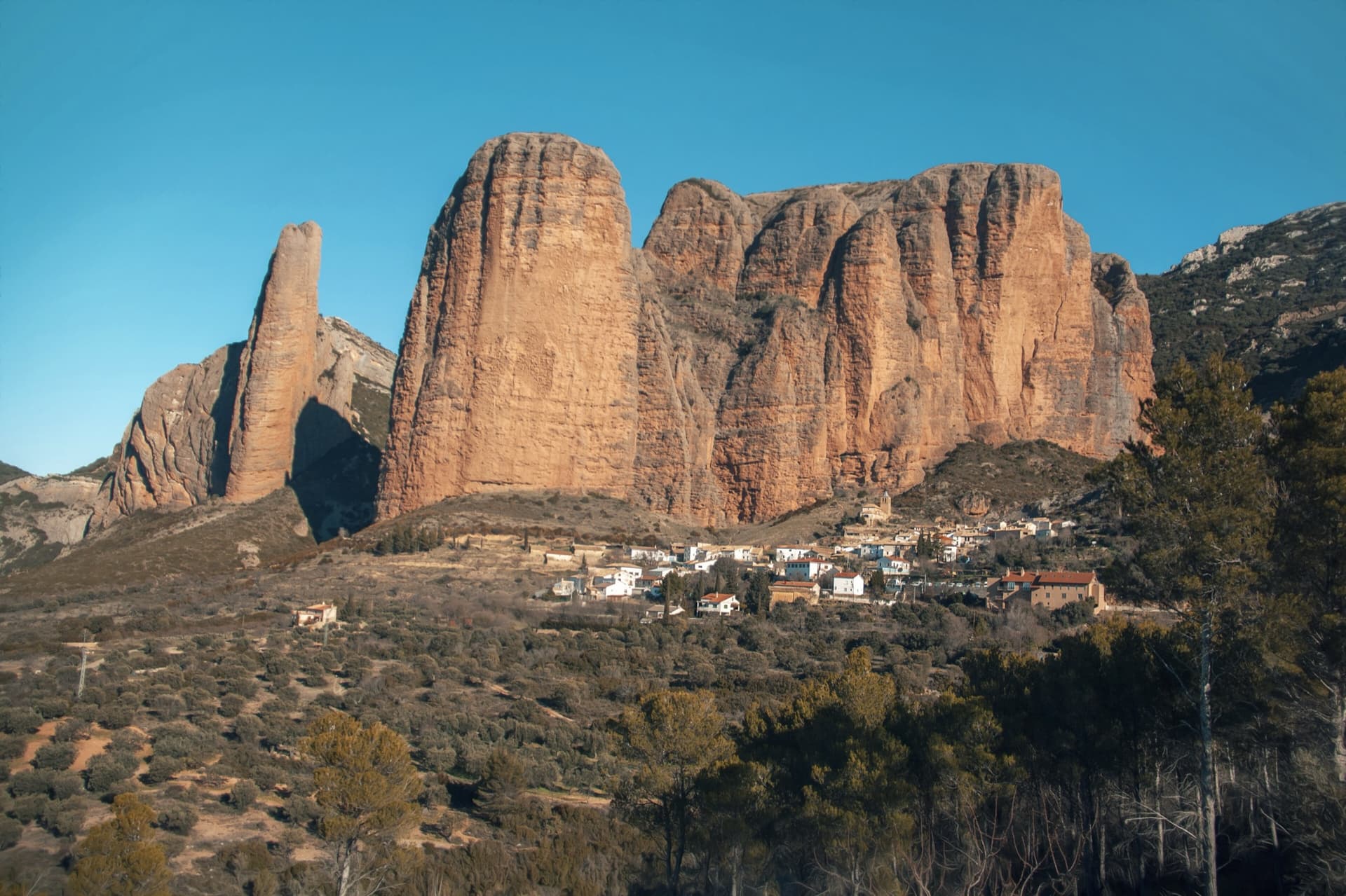
The classic view of Riglos from the south-west: the slender pinnacle of El Puro on the left, the great dome of Mallo Pisón beside it, and the main wall running right to La Visera above the village.

Spain · Riglos & Agüero (Mallos)

Espolón del Adamelo

This is the gentlest way to sample Riglos. Polished pockets and two bulging 'panzas' lead to a 6a crux that can be pulled through on the bolts (A0). The upper spur is easy, and the Pisón towers loom close by.

6a7 pitches175 m

Read the cautions
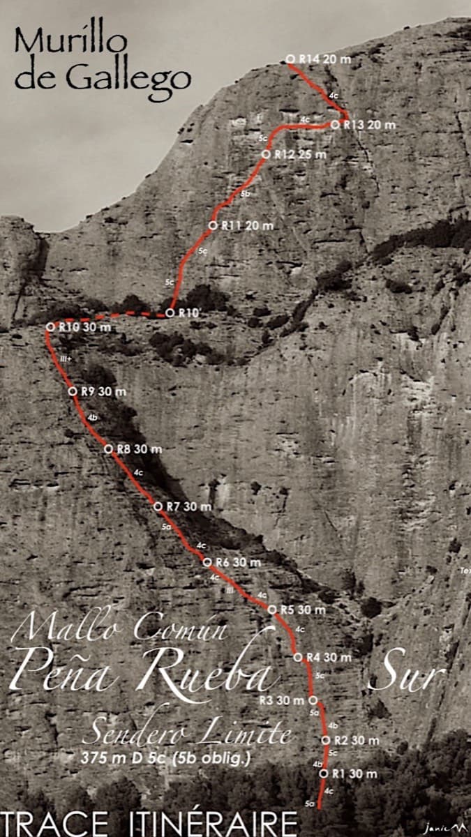
Topo of Sendero Límite on the south face of Peña Rueba (Mallo Común)

Spain · Riglos & Agüero (Mallos)

Sendero Límite

A long beginner's big route on good conglomerate at a moderate angle. Pitches can be linked in pairs with a 60 m rope. A four-pitch headwall with a couple of panzas finishes high above the Gállego valley.

5c14 pitches375 m

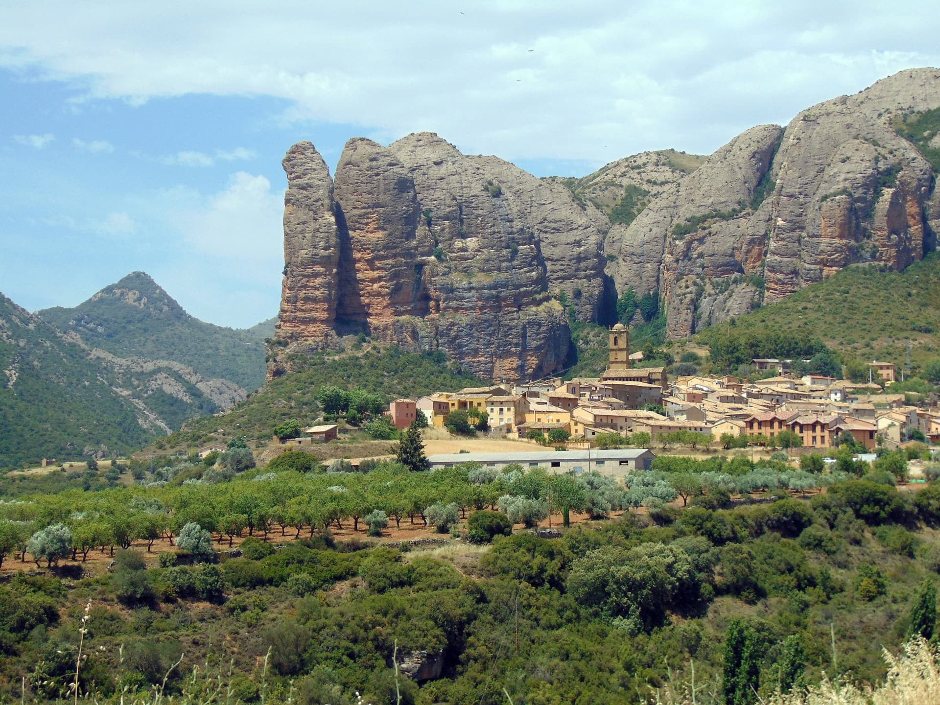
The Mallos de Agüero rising directly behind the village, seen from the south-east, with the detached tower of Peña Sola at the left end; the east-facing walls are towards the right-hand end of the massif.

Spain · Riglos & Agüero (Mallos)

Tierra de Naide

A morning-sun route at the quieter Agüero mallos. Easy slabs separate two fine steep walls, including a superb vertical 5c plaque on pitch 4. Take care with some loose cobbles on the last traverse.

5c5 pitches145 m

Around 6a · about 8 pitches

Similar elsewhere

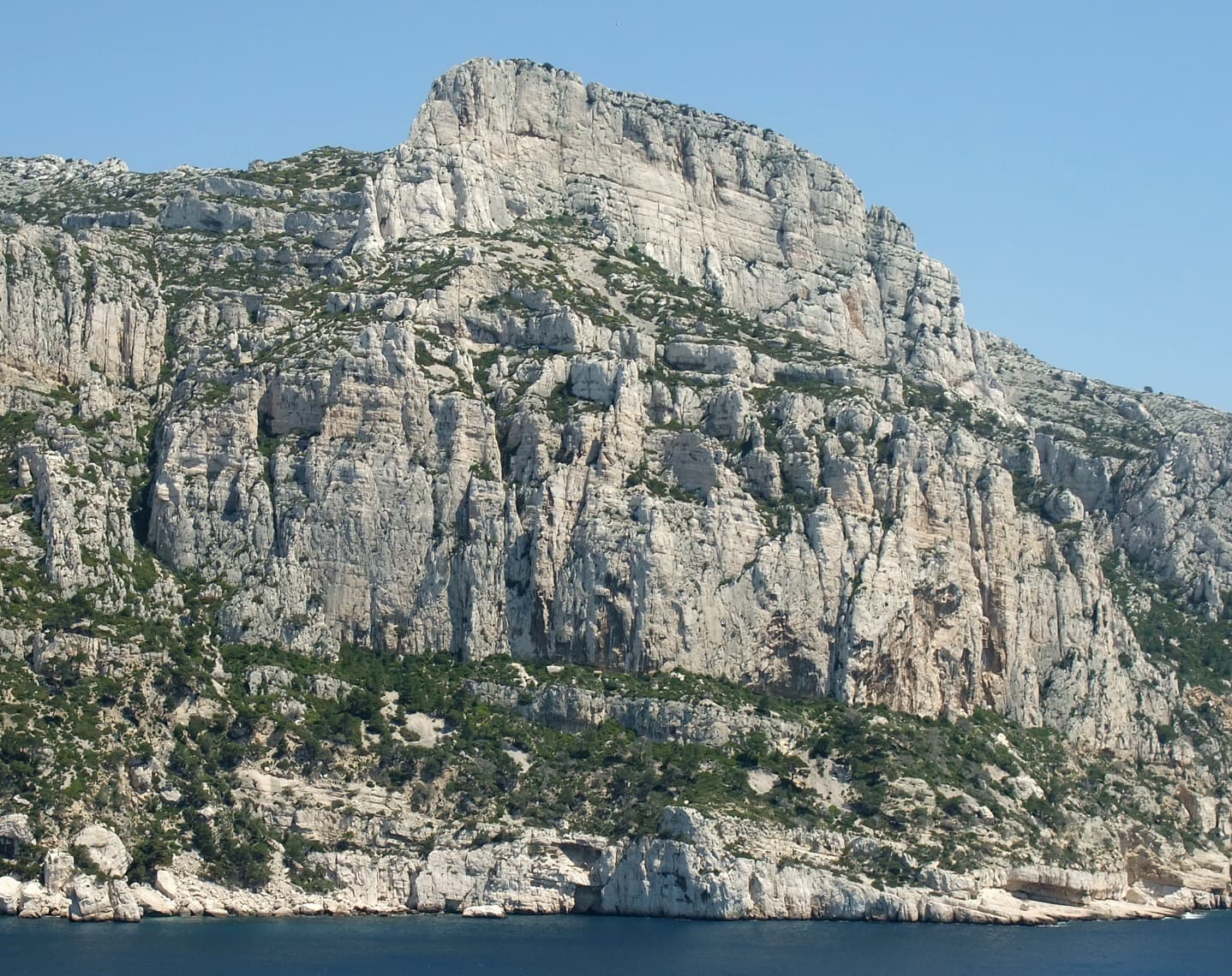
The Grande Candelle and, below it, the wall of the Socle seen from the sea

France · Calanques

La Civa

The classic of the Socle de la Candelle, the big plinth of white limestone below the Grande Candelle. Eight pitches slanting right to left, sustained at 5c with a 6a slab, steep and athletic for the grade and well polished by sixty years of traffic. Often combined with a route on the Candelle above for one of the great days out in the Calanques.

6a8 pitches170 m

Read the cautions

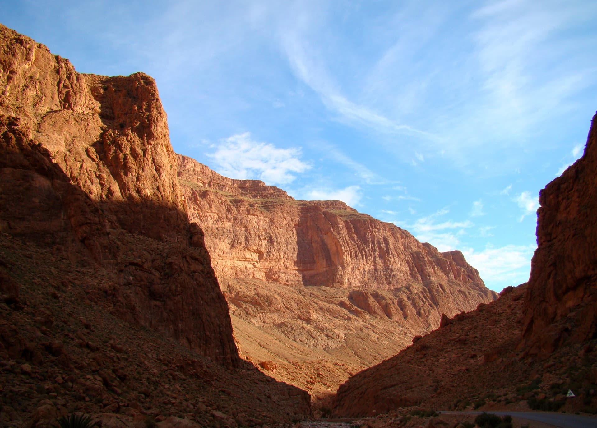
The Todra Gorge looking upstream from above the narrows in morning light. The Paroi du Levant is further up the valley and is not identifiable in this view.

Morocco · Todra Gorge (Todgha)

Hannah chez les grands

Eight pitches up the middle of the Levant wall, with the 6a on the first pitch and steady 5a–5c above. Morning sun. Camptocamp rates the commitment a little higher than the gorge-floor routes because of the length.

6a8 pitches320 m

The wooded Limarò gorge of the Sarca, upstream of Sarche; the Parete del Limarò of the Piccolo Dain stands at the gorge's lower end, outside this view.

Italy · Arco & Valle del Sarca

Moon Bears

A popular plaisir line up the lower south-west wall of Piccolo Dain, starting at the gate of the weir in Sarche. Cracks and small corners lead to a fine 6a slab on water drops, then a long corner pitch. Expect queues: three routes share the opening traverse.

6a8 pitches235 m

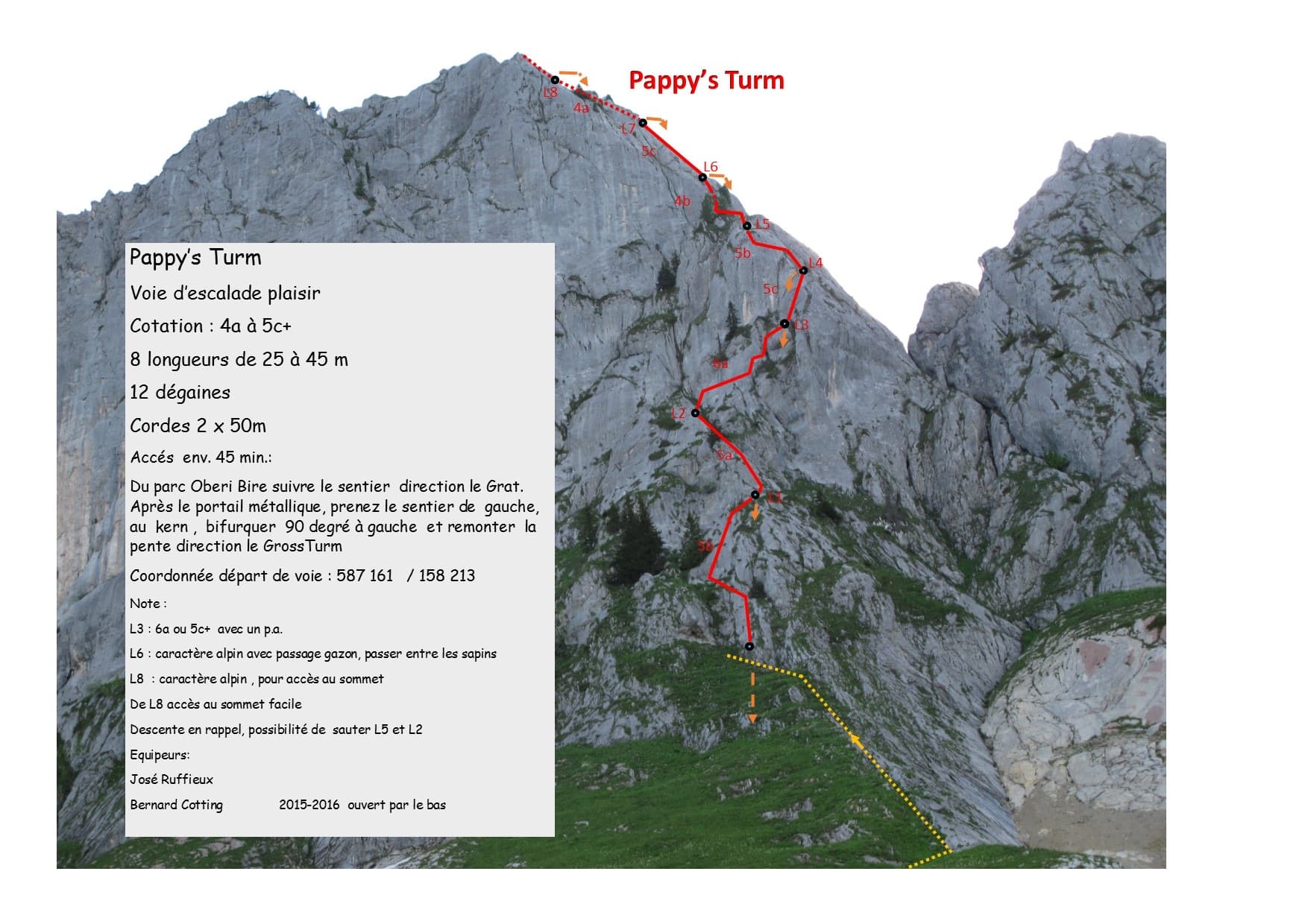
The first ascensionists' photo-topo of Pappy's Turm on the Gross Turm

Switzerland · Gastlosen

Pappy's Turm

A modern eight-pitch plaisir route up the east side of the Gross Turm, with a summit you can scramble to from the last belay. Mostly 5a to 5c on slabs and small pillars, with one delicate 6a traverse on pitch 3 that goes at 5c+ with a pull on a bolt. Pitches 3 and 4 feel stiff for the grade.

6a8 pitches250 m

Compiled from published sources and last verified October 2026. Bolts, anchors and access change. Climbing is dangerous and you are responsible for your own decisions: check a current topo and read the disclaimer.