Multipitch Atlas

Spelling need not be exact.

Brazil

Quiquillon (south-east face) · Orpierre · France

Bail with caveats

A popular first multipitch on the south-east face of the Quiquillon: eight short pitches of steep, juggy 5a to 5c limestone, very closely bolted, finishing on the summit ridge. The two 5c pitches at the top are the hardest and polished in places, but can be aided on the bolts. Expect company.

The Quiquillon above Orpierre, home of Brazil and the other multipitch routes on its south-east facePhoto: Adrien T · CC BY-SA 3.0

Photo

Hardest pitch
5c
Pitches
8
Length
180 m
Approach
20 min
Aspect
SE
South-east-facing
Rope
1×40 m
walk-off
Rock
limestone
Season
Mar to Jun, Sep to Nov
Bolting confidence
High
Last verified
October 2026 · Compiled from published sources

Overview

Brazil is one of the most climbed multipitch routes at Orpierre and a common choice for a first multipitch or a return to the activity. It climbs eight short pitches up the south-east face of the Quiquillon, mostly 5a to 5b on steep, layered rock with big holds, then two harder 5c pitches to the summit ridge. The bolting is very close and the chained belays are doubled for traffic. Recent parties find it sustained in the fives and a little stiff for the grade in places, with polish starting to show, but the hardest moves can be pulled through on the bolts. The descent is an easy but airy walk along the ridge.

Worth knowing

  • Allow about 3 to 4.5 hours on the route; parties report 3h30 for the climb.
  • Linking pitches cuts the route to four or five long pitches, but bring extenders and skip some of the many bolts to limit drag.
  • Start early at weekends to avoid queues.

Pitch by pitch

No topo we can show; see the sources.

Pitches of Brazil
PitchGradeNotes
P15aStraight up the wall. A July 2026 party warns of a wasp nest about 1 m below the first belay, slightly left.
P25bA few metres of real 5b. Can be linked with pitch 1 on a 50 m rope, but it takes a lot of quickdraws; parties report about 45 m for the two.
P35aUp to ledges, then a rising traverse right, passing other belays, to belay at the foot of a corner. Watch the rope drag on this long traversing finish.
P45aThe corner, then a rising traverse right, crossing the line of Fleur de Lotus, which heads left. Route crossings here are marked with arrows; keep trending right.
P55aKeep rising rightwards, passing a metre above a small rising ledge, to belay below the right-most line of bolts in the wall.
P65bFollow that line of bolts up layered rock with very big holds.
P75cEasy steps, then 15 m of sustained 5c that goes at 5b/A0. There are two parallel lines of bolts at the hard section; the left one is easier. Several parties find this the hardest pitch, with a polished move of about 5c+.
P85cA very short athletic section to the belay on the ridge; the hard move is close-bolted for A0, though one party notes a move just below it where you must commit a little to reach a jug and clip. The English camptocamp text gives a 5a alternative traversing left then up to the ridge. Pitches 7 and 8 are short and can be linked, with care over rope drag.

Approach

To the parking

Drive to Orpierre (about 10 km west-north-west of Laragne-Montéglin) and continue up to the Parking de l'Adrech, the second car park above the village, about 15 minutes on foot from the village. A party in October 2026 found the track to the Adrech car park awkward for an ordinary car and advises driving slowly. Many climbers stay at the campsite and walk up.

On foot · about 20 min

From the Adrech car park, go about 50 m up the path to a signpost for the Quiquillon south-east face, then follow the horizontal path left for about 15 minutes (one 2026 party found it nearer 5 minutes and overshot to Dièdre Sud). You arrive about 30 m below the face. Look for a pillar leaning against the wall with a net of cables holding a cluster of rocks about 50 m up. Brazil starts 10 m right of this pillar, with its name in blue paint; the first pitch is shared with Infinitésimal.

Map of the walk-in

Coordinates · crag

44.31890, 5.69873

Parking

44.31917, 5.70167

Parking de l'Adrech (camptocamp waypoint 178282)

Point from camptocamp waypoint 103699 (Orpierre - Quiquillon)

For your phone or watch

Download GPX

Contains the route point and parking.

Points from published sources, not surveyed.

Descent

Walk off; parties on the neighbouring routes report 30 to 45 minutes back to the car. Follow the ridge to the right (back towards the cliff), with cables on the exposed bits. After a few minutes the path drops to the left of the ridge and goes down a short vertical wall on metal rungs. Take the path to the right to a col, cross it back to the south-east side, and follow the good path down to the Adrech car park, taking the descending branch at each junction. Parties describe the ridge as easy but needing attention.

Bailing off the route

Bail with caveats

Every belay is bolted, chained and doubled, and the pitches are short, so abseiling from part-way up should be possible. But pitches 3 to 5 traverse rightwards, so abseiling straight down will not retrace the route, and the face is busy with other parties below. An escape onto easier neighbouring lines is not documented.

Retreat from
Any belay; the belays are chained and doubled. From the first two pitches a straight abseil reaches the ground.
Point of no return
Not documented. Above the traverses of pitches 3 to 5, going up to the ridge is likely simpler than retreating, and the 5c moves above can be aided on the bolts.
Carry
Two ropes or a long single rope if you want to abseil; the 40 m single rope recommended for the climb may not reach between belays once the line has traversed. Take care not to knock stones onto parties below.
Basis
Inferred from the route factsSources describe the belays and the walk-off but not retreat; the advice is inferred from the chained belays and the traversing line.

In an emergency · France

112Emergency; sends PGHM or CRS mountain rescue

  • 17Gendarmerie and police

Position of the crag

44.31890, 5.69873

Marks the crag, not the route: give route and pitch.

Say what happened, how many are hurt, and where you are. Checked October 2026 (source).

Hazards

  • Very busy in season: the walls are crowded at weekends and holidays, and a club party in October 2020 started early to be first on the route.
  • Polish: a 2025 party found the route starting to suffer, and the 5c+ move on pitch 7 is polished and hard without pulling on a quickdraw.
  • Several other routes cross Brazil around pitches 4 and 5; follow the arrows and keep right.
  • A wasp nest was reported about 1 m below the first belay in July 2026.
  • The ridge descent has exposed sections with cables and a short wall on metal rungs; stay careful after the climbing is over.

Gear

12 quickdraws and a single 40 m rope are enough (camptocamp). Parties have used single 50 m and 70 m ropes; with a 50 m rope and a few extenders you can link pitches 1 and 2, 5 and 6, and 7 and 8. Helmet.

Checklist

Quickdraws
12
Rope
1×40 m (walk-off)
Helmet
One each

Conditions

Plan B nearby

Also on Quiquillon (south-east face)

Straight-line distances, up to 30 km.

Reader reports

No reports yet.

Report a problem with this route

Say what and where. Reports are checked before they appear; no name or email is stored.

Bolts and history

Bolting
Closely bolted throughout with glue-in staples; the belays are chained and doubled so that two parties can share them. Parties from 2024 to 2026 all describe the equipment as abundant and reassuring. The 5c moves on the last two pitches have bolts close enough to pull through at A0.
History
Opened in 2003 (camptocamp). Like most of Orpierre, it is maintained by the commune, which employs someone to equip the cliffs.
Guidebook
'Grimper dans les Hautes-Alpes - Orpierre et les Pays du Buëch' (Pierre-Yves Bochaton, Marion Deïdda) and the local Orpierre topo (editions of 2009, 2013, 2016 and 2020 are mentioned by parties); also listed in 'Escalade plaisir - Alpes du Sud, Provence'.

Where sources disagree

  • Grades: several parties find the two 5c pitches harder than 5c (a 5c+ move on pitch 7, a move worth 6a on pitch 8) and the route a little stiff overall; parties disagree on whether pitch 7 or pitch 8 is harder.
  • Approach: camptocamp says 15 minutes on the horizontal path; a 2026 party found about 5 minutes.
  • Descent wall: the French and English texts mention metal rungs; the Spanish text says a tree. The French version is followed.
  • Length: camptocamp gives 180 m of climbing height and 230 m of total height gain; pitch lengths are not published.

Sources

More in Orpierre

All routes in Orpierre
Setting off on the traverse pitch of Le Maître de la danse on the Pilier W de l'Ascle, Orpierre

France · Orpierre

Le Maître de la danse

A short, easy beginners' multipitch on the west pillar of the Ascle: six short pitches of 4c to 5b on sculpted limestone with holes and edges, an airy but well-bolted traverse, and a fine slab to finish. Very closely bolted with comfortable chained belays.

5b6 pitches130 m

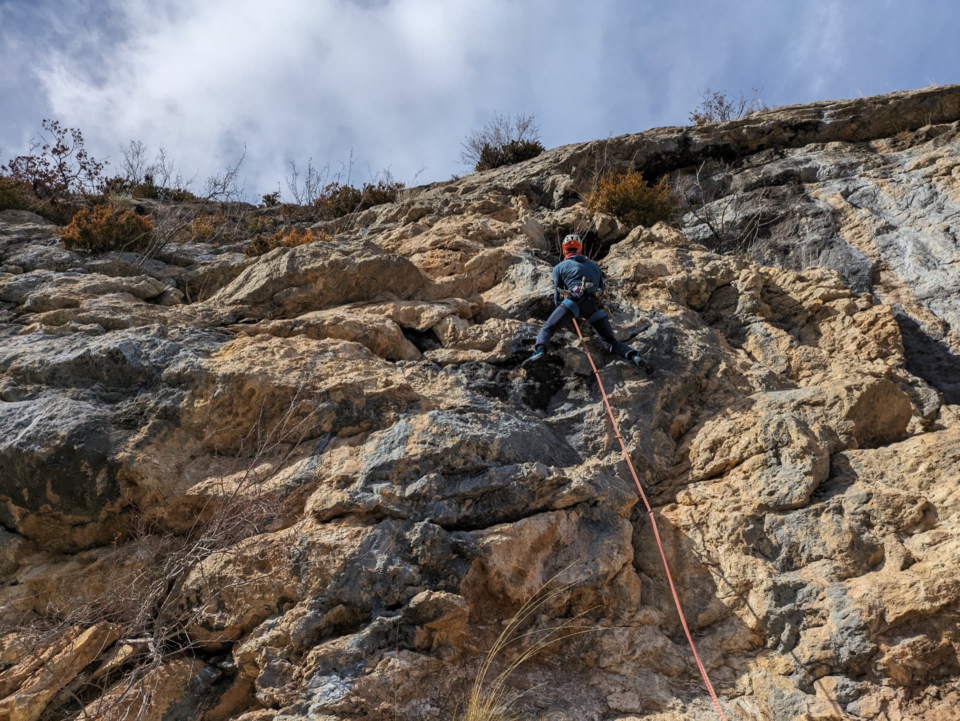
Leading the steep, physical wall of pitch 4 (6b) of Fleur de Lotus on the Quiquillon, Orpierre

France · Orpierre

Fleur de Lotus

A direct, homogeneous line up the south-east face of the Quiquillon: steep grey walls and slabs at 6a/6a+, with a physical, juggy bulge leading to a fine 6b traverse on pitch 4. Generously bolted and well travelled, a step up from Brazil next door.

6b5 pitches160 m

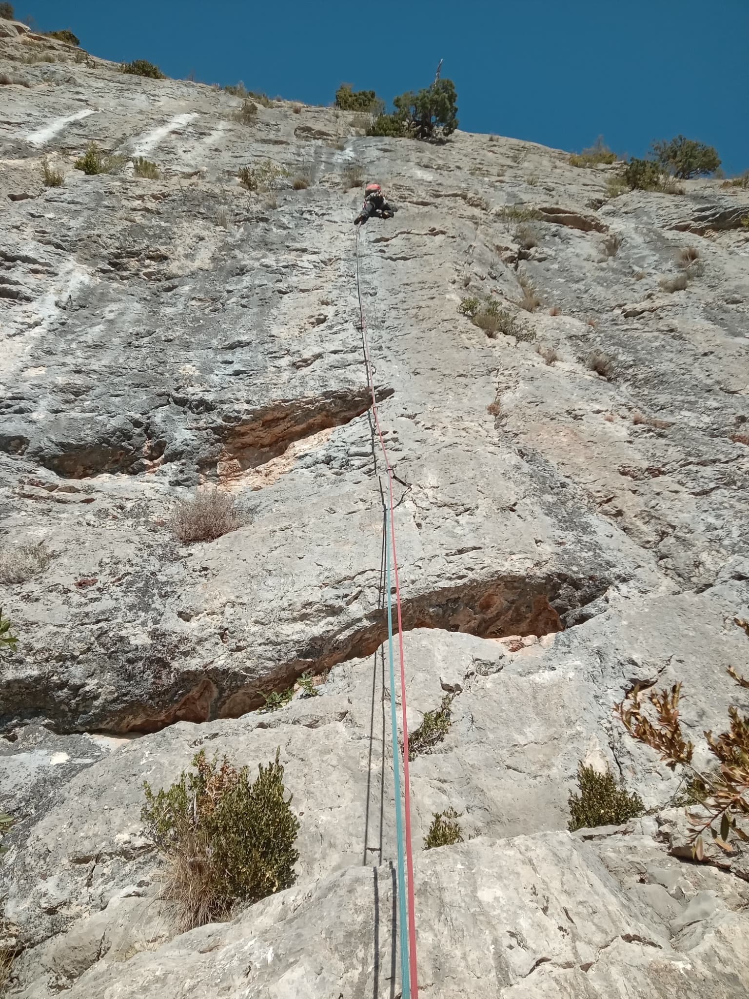
The long, steep first pitch of Du cidre pour les étoiles on the Quiquillon, Orpierre

France · Orpierre

Du cidre pour les étoiles

Three steep, sustained 6a pitches on the south-east face of the Quiquillon, the first a long 40 m pump on layered rock, then a walking link and two short, easy slab pitches to the ridge. Very closely bolted with doubled chained belays; the lower half is the reason to go.

6a6 pitches145 m

Around 5c · about 8 pitches

Similar elsewhere

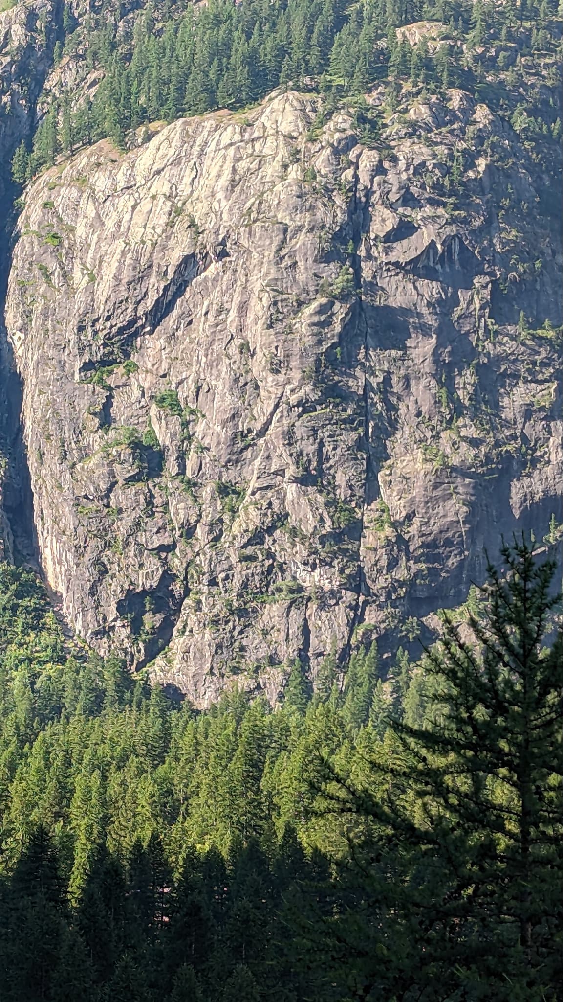
The granite dome of the Paroi de la Fissure above the forest at Ailefroide, split by the vertical crack that names it; À tire d'ailefroide is on this wall.

France · Ailefroide

À tire d'ailefroide

An even 5c on the big wall directly behind the Ailefroide campsite: a steep corner to start, slabs in the middle and a fine layback near the top. It takes the left side of the face that holds the famous Fissure, and is a little quieter than the other classics of the grade.

5c8 pitches230 m

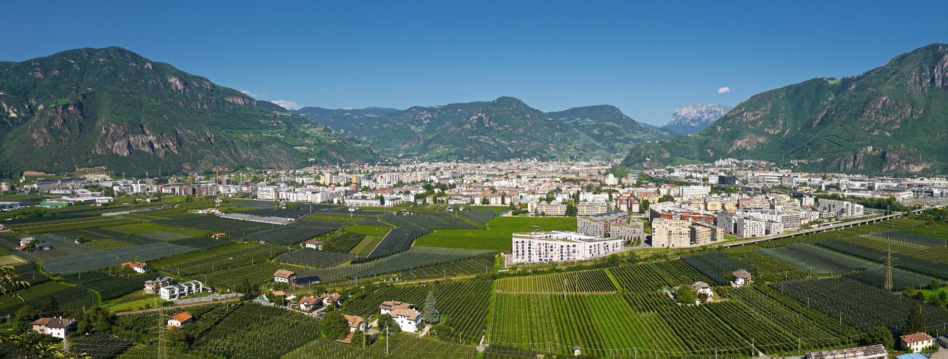
A view of the region, not this route's wall. The Bolzano basin seen from Sigmundskron castle, looking north-east.

Italy · Bolzano & South Tyrol

Dirty Flirty

A friendly, well-bolted line up the red porphyry below the Gasthof Noafer, just above Bolzano. Three pitches of steep slab and corner lead to a long shoulder, two easy pitches cross it, and two more fine slab pitches finish at the cliff top. Mostly grade 5 with one 5c pitch, the third, which is the best of the route.

5c7 pitches250 m

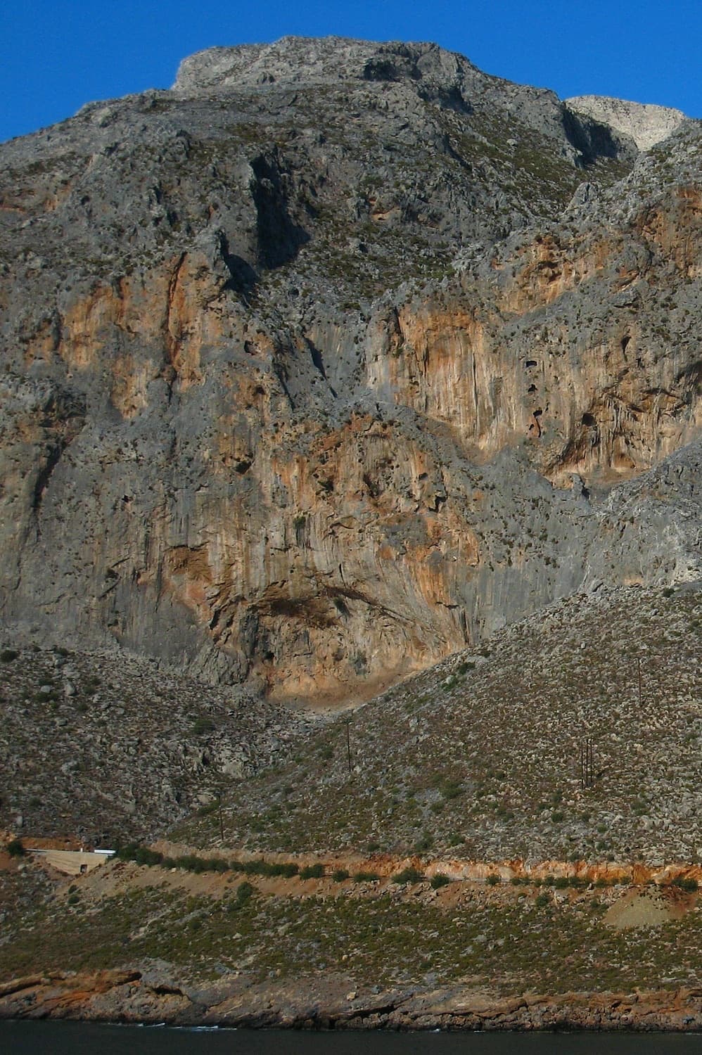
The Arhi cliffs above Arginonta bay on Kalymnos; Regensburg is at the far right-hand end of the sector

Greece · Kalymnos & Telendos

Regensburg

The friendly long route of Kalymnos: seven short pitches that spiral up the face and slabs right of the crest of a buttress above Arginonta bay, never harder than 5c. A good first pitch, an easy second and a scramble lead to three better pitches on the upper wall. Some parties find the rock scrappy in places, so wear a helmet.

5c7 pitches150 m

Read the cautions

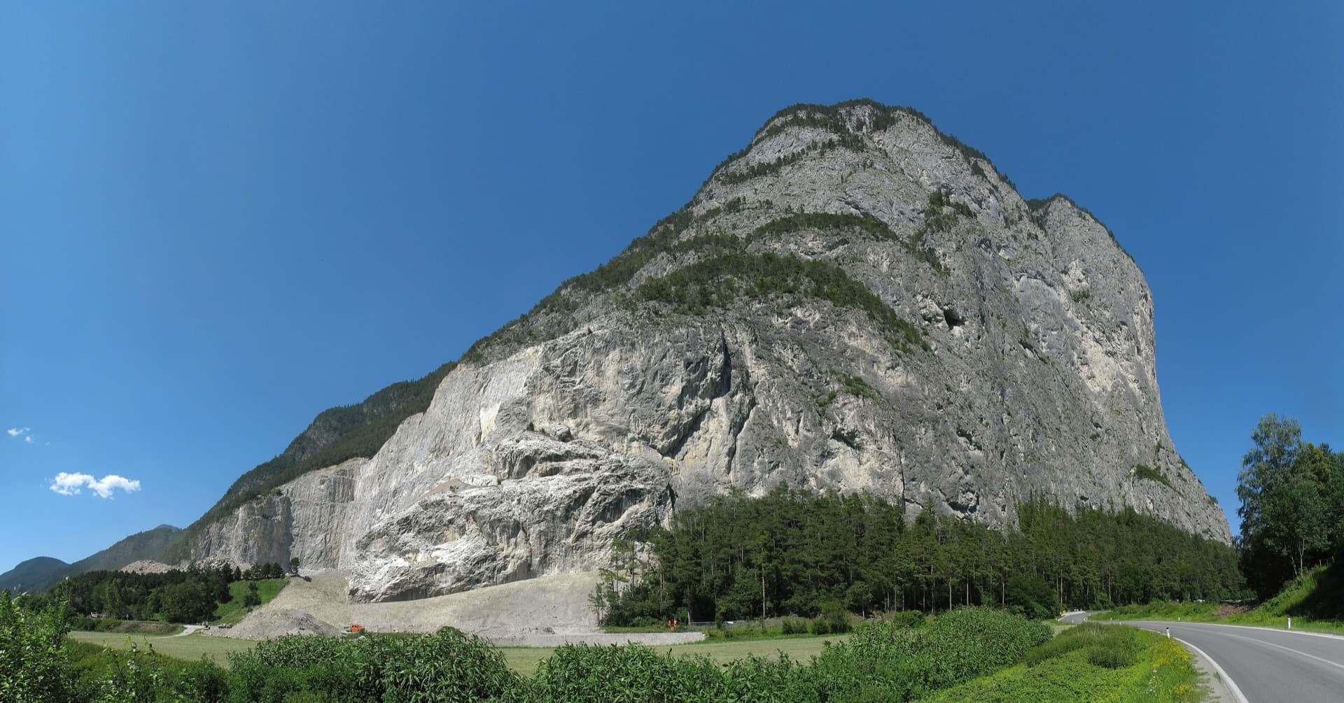
The Martinswand above the Inn valley near Zirl, seen from the south-west. The Vorbau routes climb the slabby plinth at the right-hand (eastern) end of the wall; the line is not marked.

Austria · Karwendel (Innsbruck Nordkette)

Rucola

A popular plaisir route up the slabs of the Martinswand plinth: seven pitches, mostly UIAA 4, with only about three harder metres in a short steep corner on pitch 5. Often combined with a route on the wall above.

5c7 pitches225 m

Compiled from published sources, last verified October 2026. Bolts, anchors and access change: check a current topo and read the disclaimer.