Multipitch Atlas

Directa As Cimas

Mallo Firé, Mallos de Riglos · Riglos & Agüero (Mallos) · Spain

Bail not documentedBolting confidence: high

The modern way up the Firé: nine pitches to a pointed summit among the vultures, more technical and less overhanging than the routes on the Visera. Two pitches of 6c, each with a bulge or a hard move off the belay, sit in the middle of sustained 6a+ to 6b+ climbing. 6b is obligatory.

The Mallo Firé at Riglos, the pointed tower that Directa As Cimas climbs to its summitPhoto: Cliomano · CC BY-SA 4.0

Photo

The Mallo Firé at Riglos, the pointed tower that Directa As Cimas climbs to its summitPhoto: Cliomano · CC BY-SA 4.0
Hardest pitch
6c
Pitches
9
Length
300 m
Approach
–
Aspect
SE
South-east-facing
Rope
–

The route

Overview

Directa As Cimas takes a direct line up the south-east side of the Firé, the sharp tower at the left end of the main Riglos group, and finishes on its summit. Camptocamp grades it TD+, 6c with 6b obligatory and A0 on the hardest moves. The style is finer and more vertical than the famous potato-pulling routes on the Visera, with almost no overhangs apart from the bulges that give the cruxes. Parties rate it among their best routes at Riglos and find the grades friendly for the area. Opinions on the rock range from sound to a fair number of holds that may come off.

The climbing

Pitch by pitch

Pitches of Directa As Cimas
PitchGradeNotes
P15cThe opening pitch. It and the next can be wet after rain; a 2024 party used the first two pitches of the neighbouring José Martínez Conejo instead and rejoined below pitch 4.
P26aCan be linked with pitch 1 on a 50 m rope if you manage the drag.
P36a+A physical start.
P46bSustained, on good conglomerate.
P56cA sustained pitch ending with a physical bulge.
P66b+A physical bulge that is not obvious to work out.
P76cA hard move off the belay and a delicate mantel. Airy belay. Logbook comments on theCrag find this 6c harder than the first.
P86a+Take the right-hand line of bolts from the belay; the left-hand line is strongly advised against.
P95cA short pitch to the summit. The belay is on the right, at the end of a cable.

Getting there

Approach

To the parking

Riglos lies just off the A-132 between Ayerbe and Murillo de Gállego. Leave the car at the entrance to the village and walk up through it.

On foot

Walk through the village towards the walls. About 50 m after El Puro a path leaves on the left towards the Firé. The route starts about 50 m right of a big chimney, with the name written at the foot. No source gives a time; routes on the neighbouring Aguja Roja are given as 20 minutes from the village.

Map of the walk-in

  • Crag

Loading map

The point marks the crag, not the exact start of the route.

Coordinates · crag

42.35354, -0.73023

Point from camptocamp waypoint 43661 (Mallos de Riglos, El Firé)

For your phone or watch

Download GPX

Contains the route point. Opens in most mapping apps and GPS watches.

Points are compiled from published sources, with the precision stated above. They were not surveyed on the ground: check them against a current topo.

Getting down

Descent

From the last belay, on a cable, climb over the summit needle and down the other side to a second cable, then abseil to a notch. Walk down a few metres to a second abseil. Continue straight down to a slab with an anchor on a tree, then follow the path that leads back to the foot of El Puro. A 2024 party counted three abseils separated by walking, so you coil the ropes three times; they took about 1 hour 15 minutes from summit to village. No source gives the abseil lengths.

Retreat

Bailing off the route

Bail not documented

Retreat by abseiling the route is not documented. The normal descent goes over the summit and down the far side, and no source says whether the belays on the face are rigged for abseil. One logbook entry on theCrag records a party retreating from above the second 6c pitch at dusk, so it has been done, but with no detail.

Retreat from
Not documented.
Point of no return
Not documented. The hardest climbing ends at the top of pitch 7; above that it is quicker to finish.
Carry
Two ropes and some maillons and cord, since the rigging of the belays is not confirmed.
Basis
Inferred from the route factsCamptocamp describes only the summit descent; the single retreat is a one-line logbook note.

Partly inferred from the route facts

Safety

Hazards

  • Loose holds: reports range from sound rock to many holds that may break. Take care with parties below.
  • On pitch 8 the left-hand bolt line is a different and unpleasant option; go right.
  • The descent is not a simple abseil down the route: it goes over the summit and down the back in stages.
  • 6b is obligatory; the two 6c cruxes go at A0 but the climbing between bolts does not.

Sun and weather

Conditions

South-east facing, base about 600 m and summit about 900 m. Outings are logged in April, May, October and November. In May a party found it hot and was glad of the breeze; in November it was windy and cool. The first two pitches seep after rain.

Usual season · Mar to May, Oct to Nov

Sun on the wall · SE-facing

Working out the sunlit hours for this month.

  • January: not yet worked out
  • February: not yet worked out
  • March (usual season): not yet worked out
  • April (usual season): not yet worked out
  • May (usual season): not yet worked out
  • June: not yet worked out
  • July: not yet worked out
  • August: not yet worked out
  • September: not yet worked out
  • October (usual season): not yet worked out
  • November (usual season): not yet worked out
  • December: not yet worked out

Sun on the wallDaylight, wall in shade● Usual season

Estimated from the wall's aspect only. Ignores surrounding terrain, gullies and the wall's exact shape. Clock times are local to the wall (Central European time), for the 15th of each month.

Monthly climate averages for Riglos & Agüero (Mallos), 1991-2020
MeasureJanFebMar (usual season)Apr (usual season)May (usual season)JunJulAugSepOct (usual season)Nov (usual season)Dec
Mean daily high °C9101416202629292418129
Mean daily low °C1135913161612942
Rain days 1 mm or more97910107678998

● marks the usual climbing season. Averages for 1991-2020 at about 612 m. Area climate from Open-Meteo reanalysis. Temperatures are adjusted to the height of the crag; rain comes from a grid cell of about 10 to 25 km, and summer highs on sea cliffs can read a few degrees low. The wall and valley can differ. Data: Open-Meteo, CC BY 4.0.

What to carry

Gear

17 quickdraws. Rope length is not stated in the sources: the 2024 party refers to ropes in the plural, and Riglos routes are normally climbed on 2×60 m. Helmet.

Checklist

Quickdraws
17
Rope
Length not given in the sources
Helmet
One each
Abseil device and prusik
The descent or the retreat involves abseiling
Maillons or spare karabiners
To leave behind if you retreat
Cord
Mentioned for retreat

Derived from the route data; check it against a current topo

From climbers

Reader reports

Reader reports are not being collected yet. Until they are, check a current topo and the local club or guidebook publisher for recent changes to Directa As Cimas.

Worth knowing

Tips

  • Allow 4 to 6 hours on the route.
  • Read the descent before you start; it is obvious if you have studied it and confusing if you have not.
  • The Firé has less traffic than the Pisón and Visera; in May 2024 a party met one other team on the whole face.

Open questions

Where sources disagree

  • Length: 300 m on camptocamp, 280 m on theCrag.
  • Grade: 6c on camptocamp and theCrag; some theCrag logbook entries record 6c+.
  • Rock quality: 'new rock' and 'sound' in some reports, 'not always perfect' in others.

Provenance

Sources

Same area

More in Riglos & Agüero (Mallos)

All routes in Riglos & Agüero (Mallos)
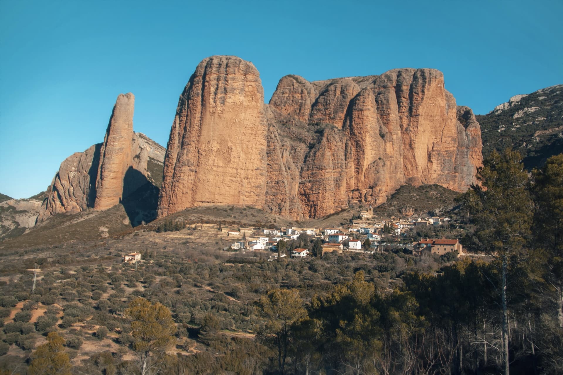
The classic view of Riglos from the south-west: the slender pinnacle of El Puro on the left, the great dome of Mallo Pisón beside it, and the main wall running right to La Visera above the village.

Spain · Riglos & Agüero (Mallos)

Espolón del Adamelo

This is the gentlest way to sample Riglos. Polished pockets and two bulging 'panzas' lead to a 6a crux that can be pulled through on the bolts (A0). The upper spur is easy, and the Pisón towers loom close by.

6a7 pitches175 m

Read the cautions
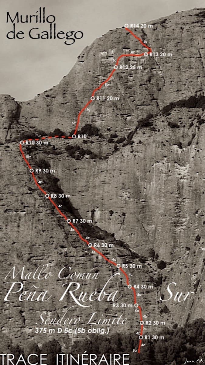
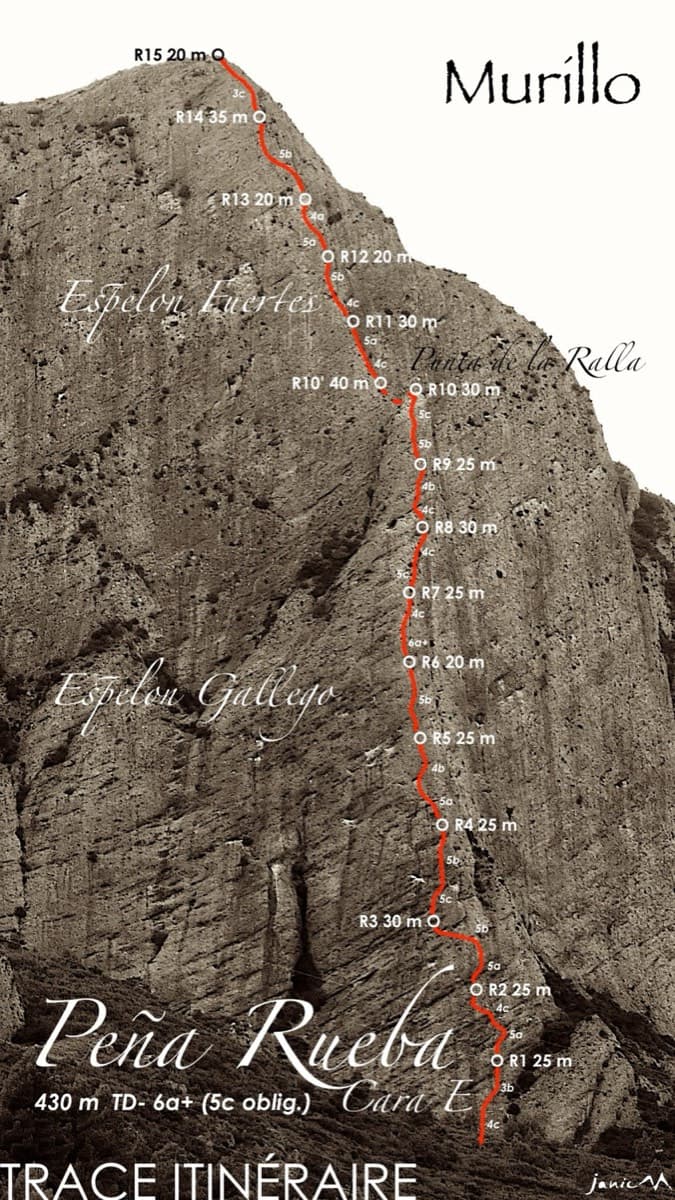
Topo of Sendero Límite on the south face of Peña Rueba (Mallo Común)

Spain · Riglos & Agüero (Mallos)

Sendero Límite

A long beginner's big route on good conglomerate at a moderate angle. Pitches can be linked in pairs with a 60 m rope. A four-pitch headwall with a couple of panzas finishes high above the Gállego valley.

5c14 pitches375 m

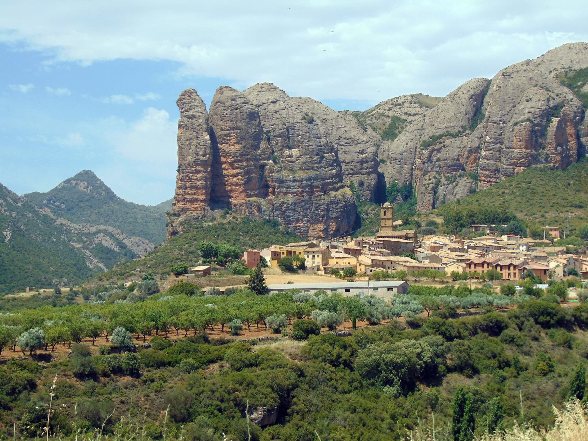
The Mallos de Agüero rising directly behind the village, seen from the south-east, with the detached tower of Peña Sola at the left end; the east-facing walls are towards the right-hand end of the massif.

Spain · Riglos & Agüero (Mallos)

Tierra de Naide

A morning-sun route at the quieter Agüero mallos. Easy slabs separate two fine steep walls, including a superb vertical 5c plaque on pitch 4. Take care with some loose cobbles on the last traverse.

5c5 pitches145 m

Around 6c · about 9 pitches

Similar elsewhere

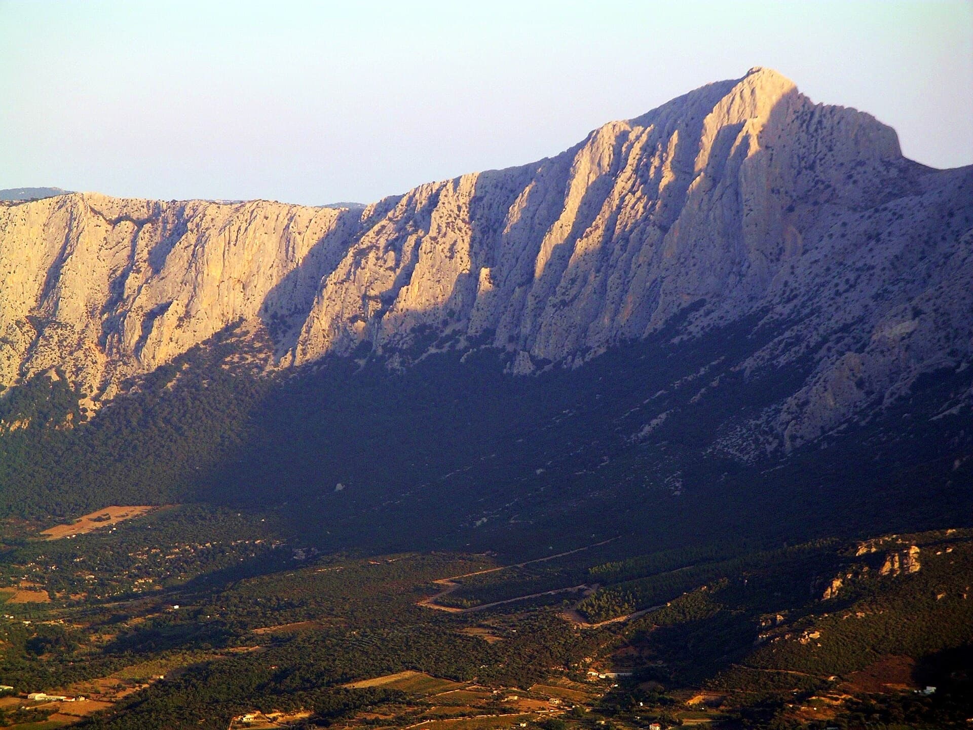
Punta Cusidore (1147 m) and the limestone wall of the Supramonte di Oliena in evening light, seen from the Oliena side.

Italy · Sardinia

L'Ombra della Mia Mano

A 300 m pillar on the 'Dolomite of Sardinia': a hard, smooth first pitch in a north-facing gully, long grey slabs and walls, a demanding technical crux on pitch 6, then exposed climbing on the crest of the pillar on big sculpted holds. Mountain atmosphere with sport protection.

6c9 pitches300 m

Read the cautions

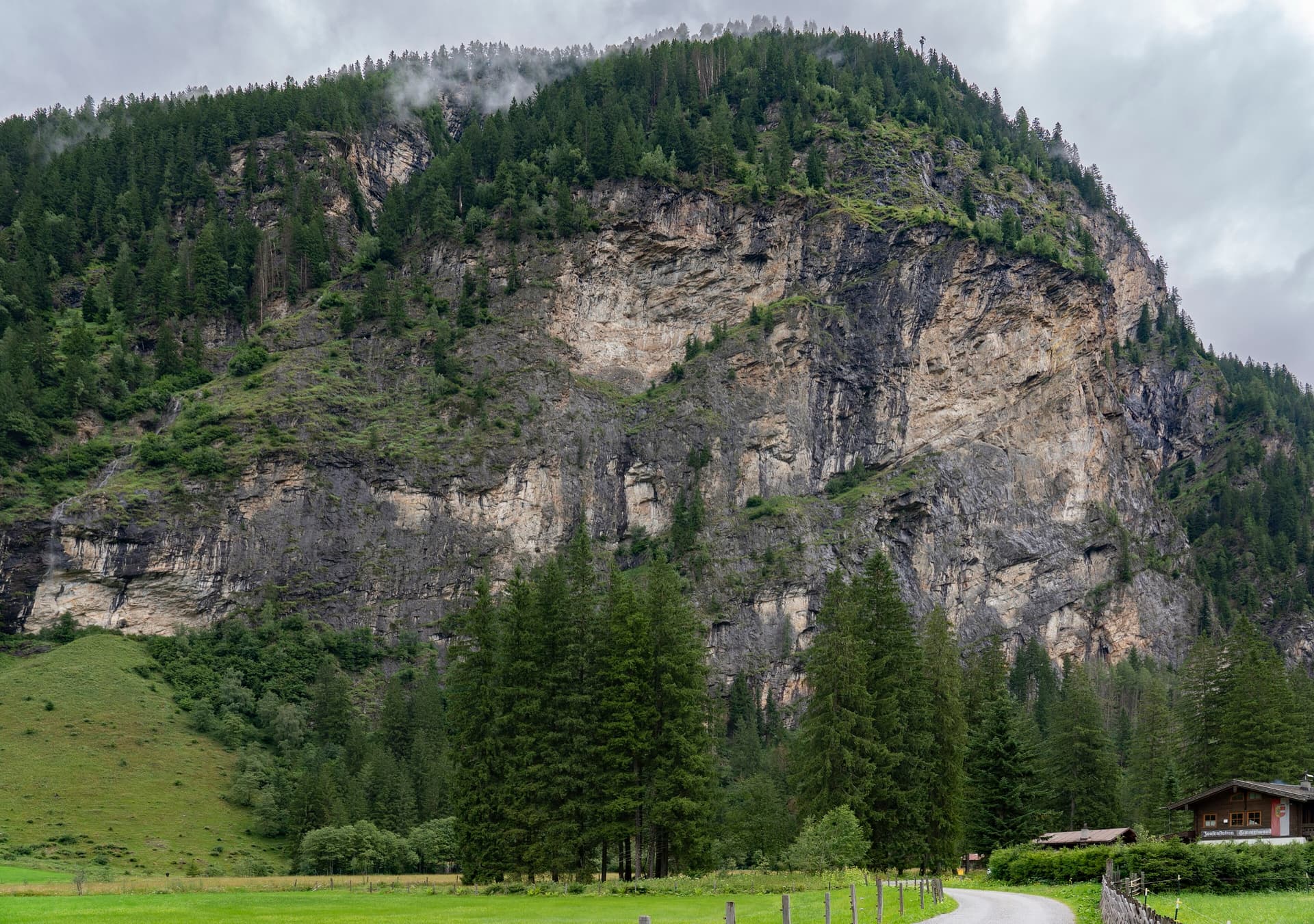
The Himmelwand in the Kötschachtal near Bad Gastein, seen from the valley road by the Himmelwandhütte; the Kleine Himmelwand lies further up the valley

Austria · Gastein (Hohe Tauern)

JKF Happiness

A long, modern slab and wall route beside the waterfall on the Kleine Himmelwand, with six independent 50 m pitches before it joins the last two pitches of Father and Son. Three pitches have technical, bouldery passages at UIAA 7+ and the obligatory grade is high for the area, but the bolts are close.

6c9 pitches350 m

Les Montons at Sanetsch, with the Pointe Maurice Brandt in the centre; La vita è bella climbs the main wall. The line is not marked

Switzerland · Sanetsch

La vita è bella

A long, homogeneous line up the full height of the Montons on excellent limestone: steep sculpted walls and fine slabs, mostly 6a to 6b, with two short 6c cruxes that can be pulled through on the bolts. The fifth pitch, a steep Verdon-style slab, is the one people remember.

6c9 pitches250 m

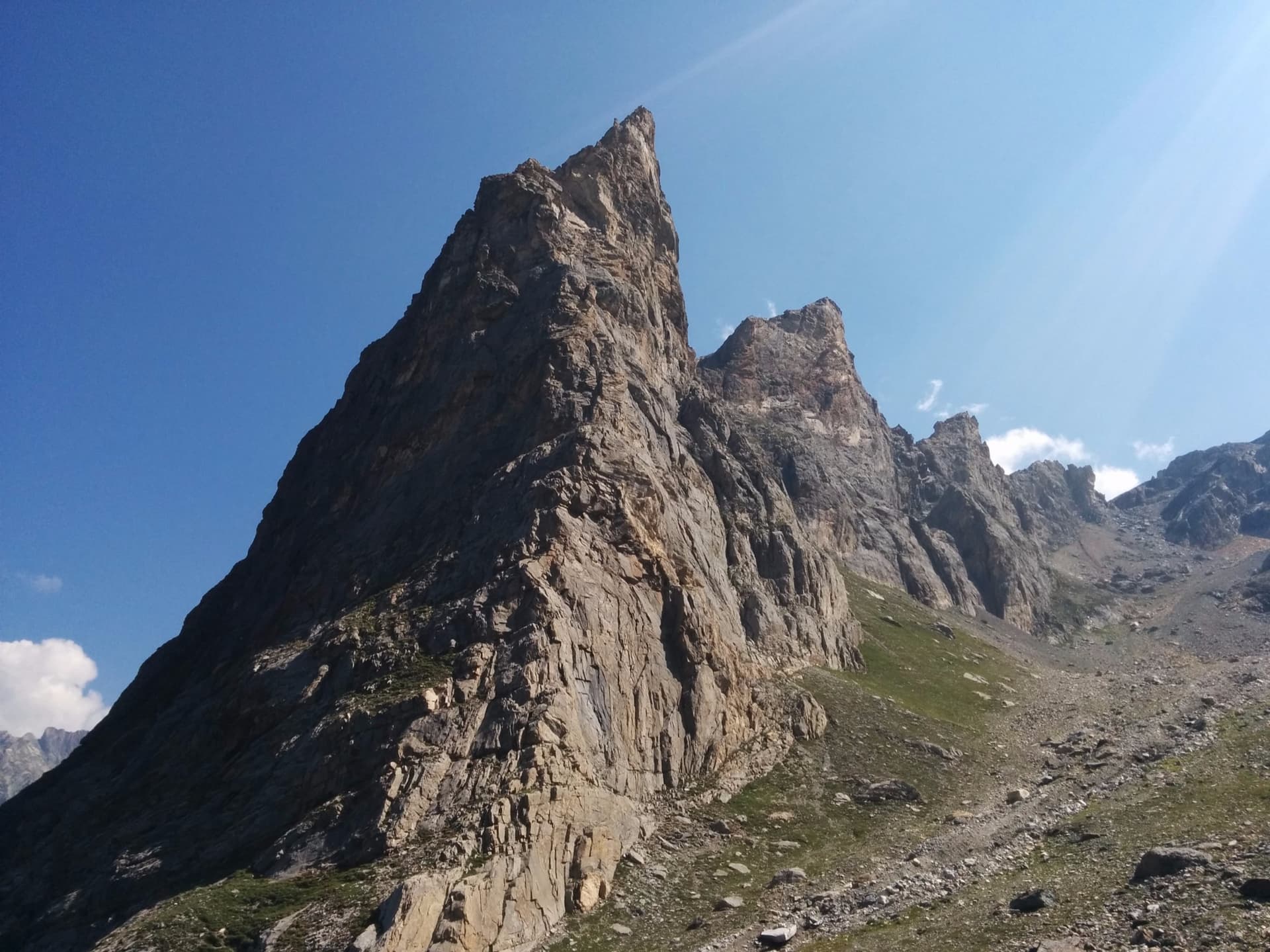
The south face of the Petite Aiguille de l'Arcelin above the Cirque de l'Arcelin

France · Vanoise (Grand Bec)

Voie Vion

The classic hard line of the south face of the Petite Aiguille de l'Arcelin, in a high cirque above Pralognan. Nine varied pitches on good grey limestone: corners, slabs, short overhangs and a technical 6c crux pitch with at least one obligatory move of 6b. Every pitch climbs, and the descent is a small mountain trip of its own.

6c9 pitches220 m

Read the cautions

Compiled from published sources and last verified October 2026. Bolts, anchors and access change. Climbing is dangerous and you are responsible for your own decisions: check a current topo and read the disclaimer.