Multipitch Atlas

Òpera Prima

Gorra Frígia east face (Gorros) · Montserrat · Spain

Bail with caveatsBolting confidence: high

A popular way up the east face of the Gorra Frígia, the best-known tower of the Gorros: three pitches of grade 4 to 5 on big cobbles with one harder move each, a short 6a pitch through two small bulges, and a long corner to the summit cross. The 6a is strenuous but can be pulled through on the bolts.

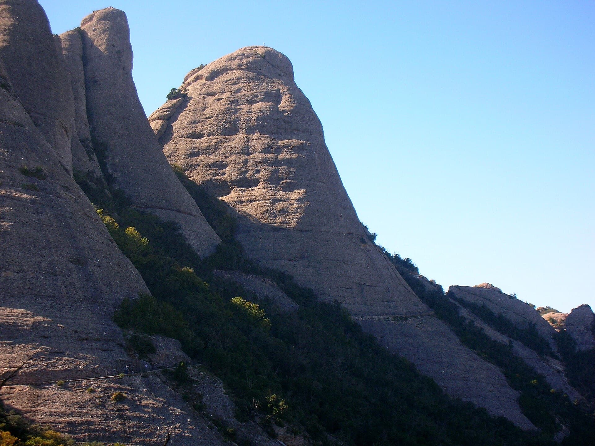
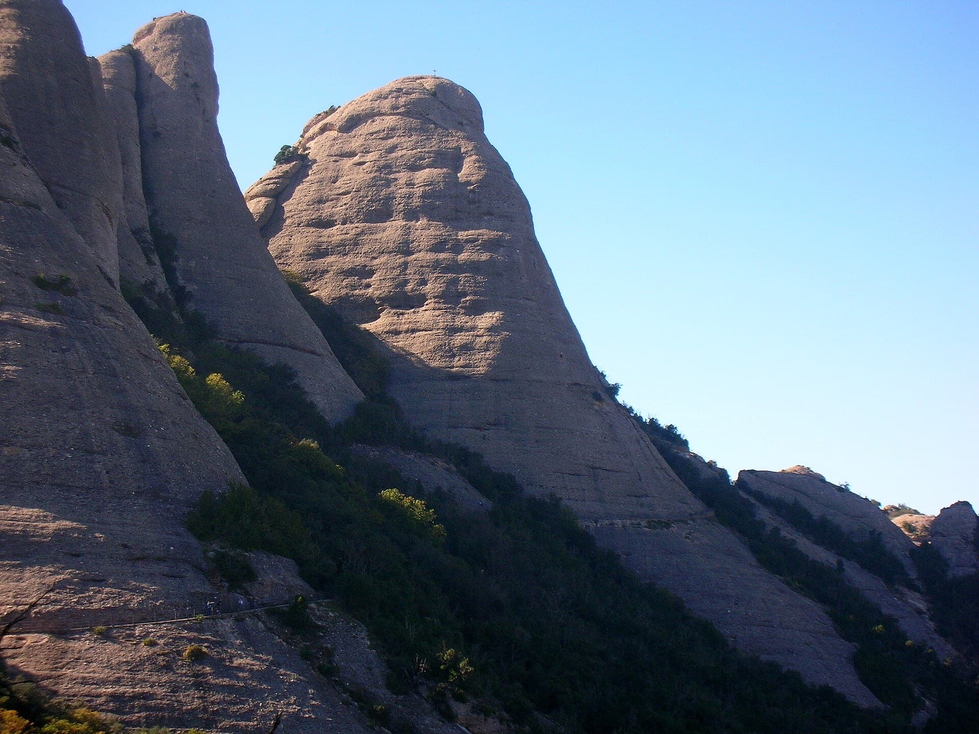
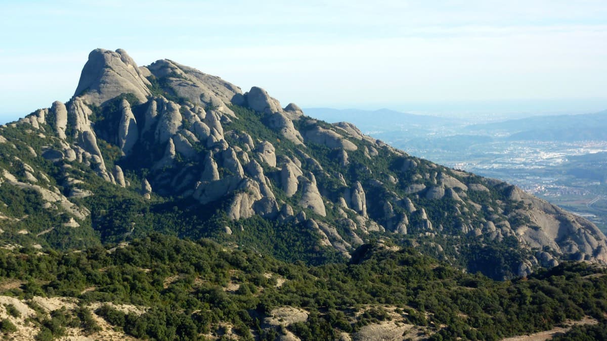
The Gorra Frígia, the Phrygian-cap tower of the Gorros above the Sant Joan funicular. The side shown and the line of Òpera Prima are not identified in the source.Photo: Pere Ramon · CC BY-SA 3.0

Photo

The Gorra Frígia, the Phrygian-cap tower of the Gorros above the Sant Joan funicular. The side shown and the line of Òpera Prima are not identified in the source.Photo: Pere Ramon · CC BY-SA 3.0
Hardest pitch
6a
Pitches
5
Length
145 m
Approach
10 min
Aspect
E
East-facing
Rope
1×60 m

The route

Overview

Five pitches up the east side of the Gorra Frígia, starting a few metres up the gully that separates it from the Magdalena Superior. The route dates from 1985 and was re-equipped by Guillem Arias; ten outings are logged on camptocamp between 2013 and 2026 and the recent ones praise both rock and equipment. Each of the first three pitches has one harder, well-protected move. The fourth is the crux: a technical, weaving start through two small bulges in succession, athletic on holds that are not very positive. The last pitch follows a corner and then easy ground to the cross on the summit.

The climbing

Pitch by pitch

Pitches of Òpera Prima
PitchGradeLengthNotes
P14+25 mStart rightwards, then a fine slabby wall. Bolts are spaced on this easy pitch.
P2525 mA small bulge on the left with a well-protected move at the start, then slab straight above. Links easily with pitch 1.
P35+30 mA steep start with a well-protected move at a hollow, then easier. The belay is in a recess at the foot of the steeper section.
P46a20 mThe crux straight off the belay: a technical, weaving line through two small bulges one after the other, like a series of boulder moves, then easier to a belay in a groove. The bolts are close enough to aid.
P55+45 mA steep start up the corner groove, then the angle eases; trend left at the end. Belay on the summit cross, more comfortable with a 180 cm sling.

Getting there

Approach

To the parking

Montserrat monastery, reached by road from Monistrol (BP-1121) or by FGC train from Barcelona (Manresa line) connecting with the rack railway or the cable car. Camptocamp suggests parking just above the hairpin at the monastery toll, which it describes as free, and walking up through the car parks; a 2016 party paid €6.50 for the day in the monastery car park, which fills early at weekends. The Sant Joan funicular from the monastery saves about 350 m of ascent; camptocamp quotes €15 return and €9.50 one way for its upper section.

On foot · about 10 min

About 10 minutes from the top station of the Sant Joan funicular: take the Camí Nou towards Sant Jeroni to the foot of the gully between the Gorra Frígia and the Magdalena Superior. On foot from the monastery, go up by Santa Anna and the PR C-19 to the same path. Go about 20 m up the gully, where there is a handrail, and look on the right wall for two gold-coloured hangers close together, which mark the start.

Map of the walk-in

  • Crag
  • Parking

Loading map

The point marks the crag, not the exact start of the route.

Coordinates · crag

41.58986, 1.82608

Point from camptocamp waypoint 187036 (Gorra Frígia summit)

For your phone or watch

Download GPX

Contains the route point and parking. Opens in most mapping apps and GPS watches.

Points are compiled from published sources, with the precision stated above. They were not surveyed on the ground: check them against a current topo.

Getting down

Descent

By abseil: follow vague cairns leftwards to the first anchor and make three abseils of 30 m at most towards the gap between the Gorra Frígia and the Magdalena Superior, then a path back to the starting gully. With an 80 m rope two abseils are possible if you take the lowest anchor on the first abseil and descend diagonally on the second. A 2020 party made a 15 m abseil and then one of 50 m from a ring on a single bolt further right. On foot: from a large cairn, cables and chains lead down south-east to a ledge, a corner and a holm-oak grove, another cable, then a traverse left to the col with the Magdalena Superior and down the wooded gully (a chain half-way) to the Sant Jeroni path.

Retreat

Bailing off the route

Bail with caveats

No source describes retreating from the route itself; the abseil descent is a separate line from the summit. The belays are bolted and the first four pitches are 20 to 30 m, so abseiling back down on a 60 m rope is feasible, leaving a maillon where there is no ring.

Retreat from
R1 to R4 (inferred).
Point of no return
After pitch 4 the remaining 45 m corner is easier, and the top gives the equipped descents.
Carry
A 60 m rope and a couple of maillons.
Basis
Inferred from the route factsCamptocamp gives pitch lengths and describes only the summit descents; abseil hardware at the intermediate belays is not stated.

Partly inferred from the route facts

Safety

Hazards

  • Pitches 1 and 2 are more sparsely bolted than the rest; a visiting party in 2023 noted in general that easy pitches at Montserrat can have bolts up to 10 m apart and that the rock takes almost no extra protection.
  • Queues at the abseils are common on this tower.
  • One alternative abseil used by a 2020 party hangs from a ring on a single bolt.

Sun and weather

Conditions

East-facing at about 1100 m: sun in the morning and shade later, which a party in October found pleasant. The conglomerate dries quickly after rain, except for water streaks and the lowest sections. The summit can be windy. The starting gully changes with storms.

Usual season · Apr to Jun, Sep to Oct

Sun on the wall · E-facing

Working out the sunlit hours for this month.

  • January: not yet worked out
  • February: not yet worked out
  • March: not yet worked out
  • April (usual season): not yet worked out
  • May (usual season): not yet worked out
  • June (usual season): not yet worked out
  • July: not yet worked out
  • August: not yet worked out
  • September (usual season): not yet worked out
  • October (usual season): not yet worked out
  • November: not yet worked out
  • December: not yet worked out

Sun on the wallDaylight, wall in shade● Usual season

Estimated from the wall's aspect only. Ignores surrounding terrain, gullies and the wall's exact shape. Clock times are local to the wall (Central European time), for the 15th of each month.

Monthly climate averages for Montserrat, 1991-2020
MeasureJanFebMarApr (usual season)May (usual season)Jun (usual season)JulAugSep (usual season)Oct (usual season)NovDec
Mean daily high °C681113172124231915107
Mean daily low °C−3−30361013141071−2
Rain days 1 mm or more667109779121076

● marks the usual climbing season. Averages for 1991-2020 at about 1072 m. Area climate from Open-Meteo reanalysis. Temperatures are adjusted to the height of the crag; rain comes from a grid cell of about 10 to 25 km, and summer highs on sea cliffs can read a few degrees low. The wall and valley can differ. Data: Open-Meteo, CC BY 4.0.

What to carry

Gear

Quickdraws (no source gives a number), a 180 cm sling for the cross and a 60 m rope for the abseils. Helmet.

Checklist

Quickdraws
Number not given in the sources
Rope
1×60 m
Helmet
One each
Abseil device and prusik
The descent or the retreat involves abseiling
Maillons or spare karabiners
To leave behind if you retreat

Derived from the route data; check it against a current topo

From climbers

Reader reports

Reader reports are not being collected yet. Until they are, check a current topo and the local club or guidebook publisher for recent changes to Òpera Prima.

Worth knowing

Tips

  • Follow the yellow hangers: other routes cross the face.
  • The equipper himself finished straight up to the summit on a 2013 repeat instead of taking the original exit.
  • Via del Carles, Via Stromberg and 98 Octanos, all in the atlas, are on the same tower or the one next door.

Open questions

Where sources disagree

  • Hanger colour: yellow in the Spanish and Catalan camptocamp texts, gold in the French text.
  • Descent: the French text describes three abseils, the Spanish text the cabled walk-down; both exist.
  • No source gives bolt counts or a quickdraw number.

Provenance

Sources

Same area

More in Montserrat

All routes in Montserrat
West side of the Gorros sector, Montserrat

Spain · Montserrat

Integral d'en Pitu i la Nuri

A modern linkup over two pinnacles on excellent conglomerate. Overhanging 6a and 6a+ walls alternate with easy 'potato-field' slabs. The new bolting makes it one of the most reassuring long lines in the massif.

6a+5 pitches185 m
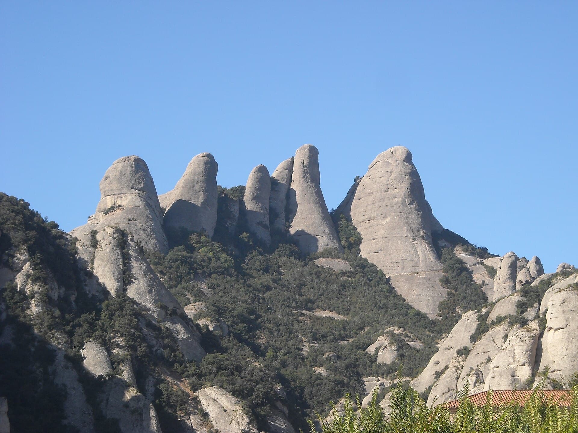
The Gorros of Montserrat from the monastery side: left to right the Gorra Marinera, the Magdalenes and the Gorra Frígia. Via Sargantanes climbs the Gorra Marinera, the left-hand tower.

Spain · Montserrat

Via Sargantanes

A popular first Montserrat multipitch close to the monastery. Steep pebble walls at 5b are split by easy slabs, finishing on an airy summit cap.

5b6 pitches145 m

Read the cautions

The Gorra Frígia, the Phrygian-cap tower of the Gorros, seen from the Camí Nou de Sant Jeroni, which passes the foot of its north-east side where Via del Carles starts. The line itself is not marked.

Spain · Montserrat

Via del Carles

A straightforward line up the 'Phrygian cap' visible from the monastery. Only the short vertical step on pitch 3 is sustained. It is a good route for learning Montserrat pebble technique and has a summit cross with a big view. The approach takes about 10 min from the Sant Joan funicular top.

5c5 pitches140 m

The Gorra Frígia seen from the Camí Nou de Sant Jeroni on the northern side of the Gorros, Montserrat. Via Stromberg climbs the north face; the line is not marked.

Spain · Montserrat

Via Stromberg

A shady north-face outing that suits warm days. Steady 5c pebble climbing leads to a short overhang crux (6a, or 5c/A0) and the summit cross.

6a4 pitches120 m

Around 6a · about 5 pitches

Similar elsewhere

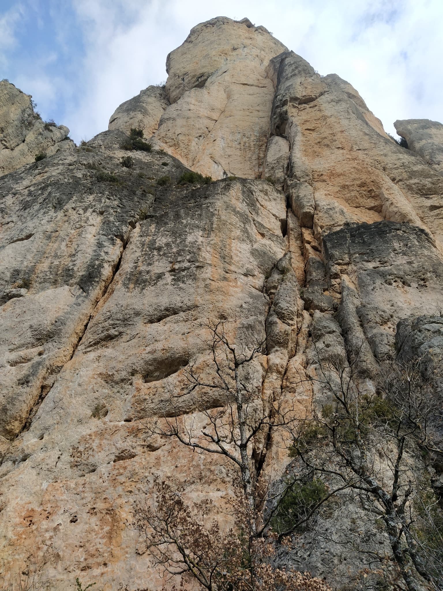
The wall of the Fusée sector seen from the foot of Gallo Loco

France · Gorges de la Jonte

Gallo Loco

Five pitches beside the Fusée monolith, built around a superb 35 to 40 m corner that ends under a big roof and escapes left across a wildly exposed but easy traverse. Rebolted in 2012 and better protected than most routes here. Rated a must at the grade by several recent parties.

6a5 pitches120 m

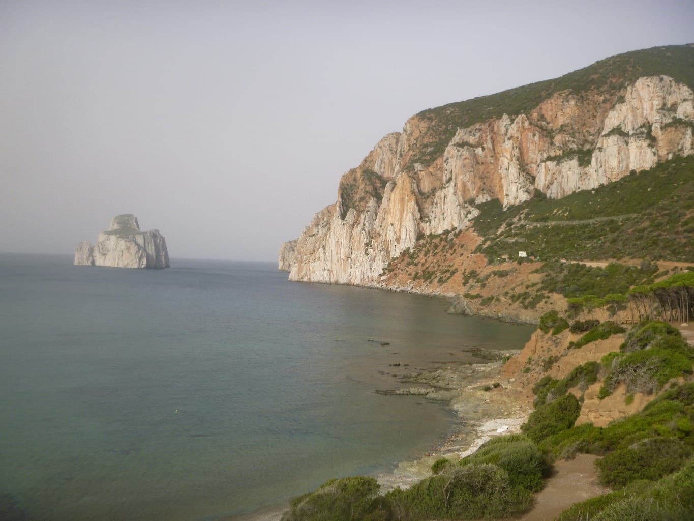
The Masua sea cliffs with the Pan di Zucchero stack offshore

Italy · Sardinia

Acciughe e Bottarga

An easy line up the edge of the tall sea cliff beside Porto Flavia, starting a few metres above the water. The lower half is broken and unremarkable; the upper arête and slab are on superb, very abrasive grey limestone with a view of the Pan di Zucchero stack. Almost plaisir, in a serious place.

6a5 pitches160 m

The headland of Capo d'Uomo on Monte Argentario with its watchtower on top, and the island of Giannutri on the horizon. The multipitch wall drops towards the sea below the tower; the routes are not visible in this view.

Italy · Monte Argentario

Argento Argentario (with the Spigolo Bonatti finish)

Three independent pitches on the wall below Capo d'Uomo, ending with a memorable 40 m wall of pockets, drips and flowstone at 6a. The route proper stops on the arête; the opener suggests carrying on up the last two pitches of the Spigolo Bonatti, an exposed 5c traverse and an easy ridge, to finish at the tower.

6a5 pitches200 m

Looking down the lichen-covered granite slab of Bügeleisen towards the forest at Handegg

Switzerland · Grimsel

Bügeleisen

A short, varied granite route up a pale, smooth pillar across the valley from the Handegg slabs: a corner crack, then friction and edge slabs that get harder pitch by pitch. Grades are stiff, and the last pitch is sustained and tricky. A good half day or uncertain-weather route with a 15-minute approach.

6a5 pitches200 m

Compiled from published sources and last verified October 2026. Bolts, anchors and access change. Climbing is dangerous and you are responsible for your own decisions: check a current topo and read the disclaimer.