Multipitch Atlas

Pique Longue

La Granota (above the monastery, Fra Garí path) · Montserrat · Spain

Easy to bailBolting confidence: high

Seven short pitches a quarter of an hour from the monastery, mostly 5b on very good conglomerate, with one 8 m wall of pockets at 6a that can be avoided. Two walking sections break the climbing, and the last pitch up the edge of the summit pillar is airy. Green paint marks, now fading, show the way.

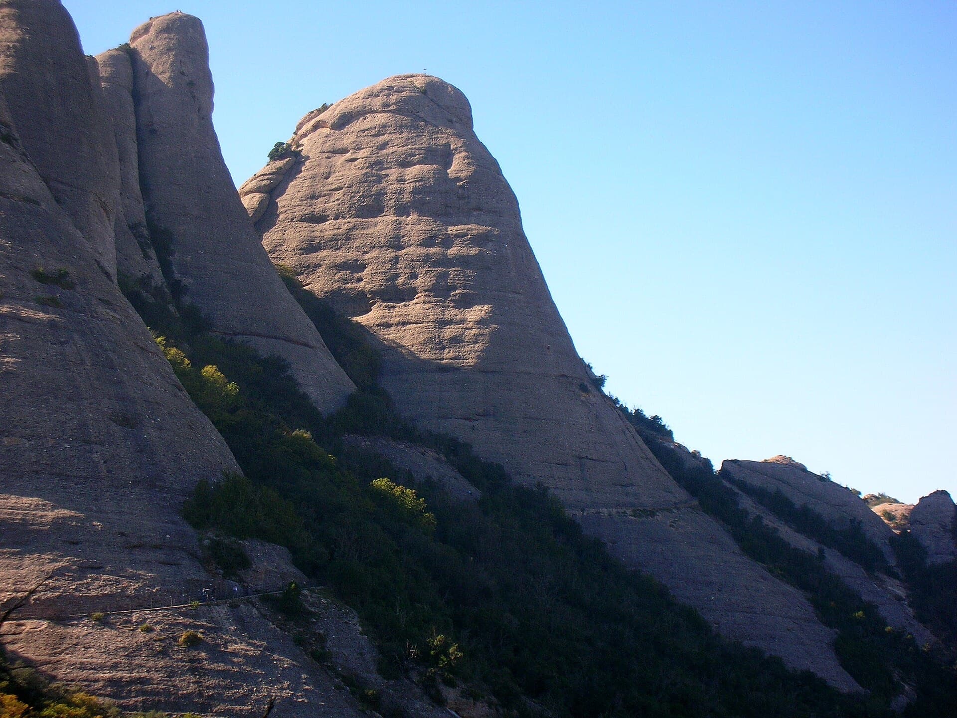
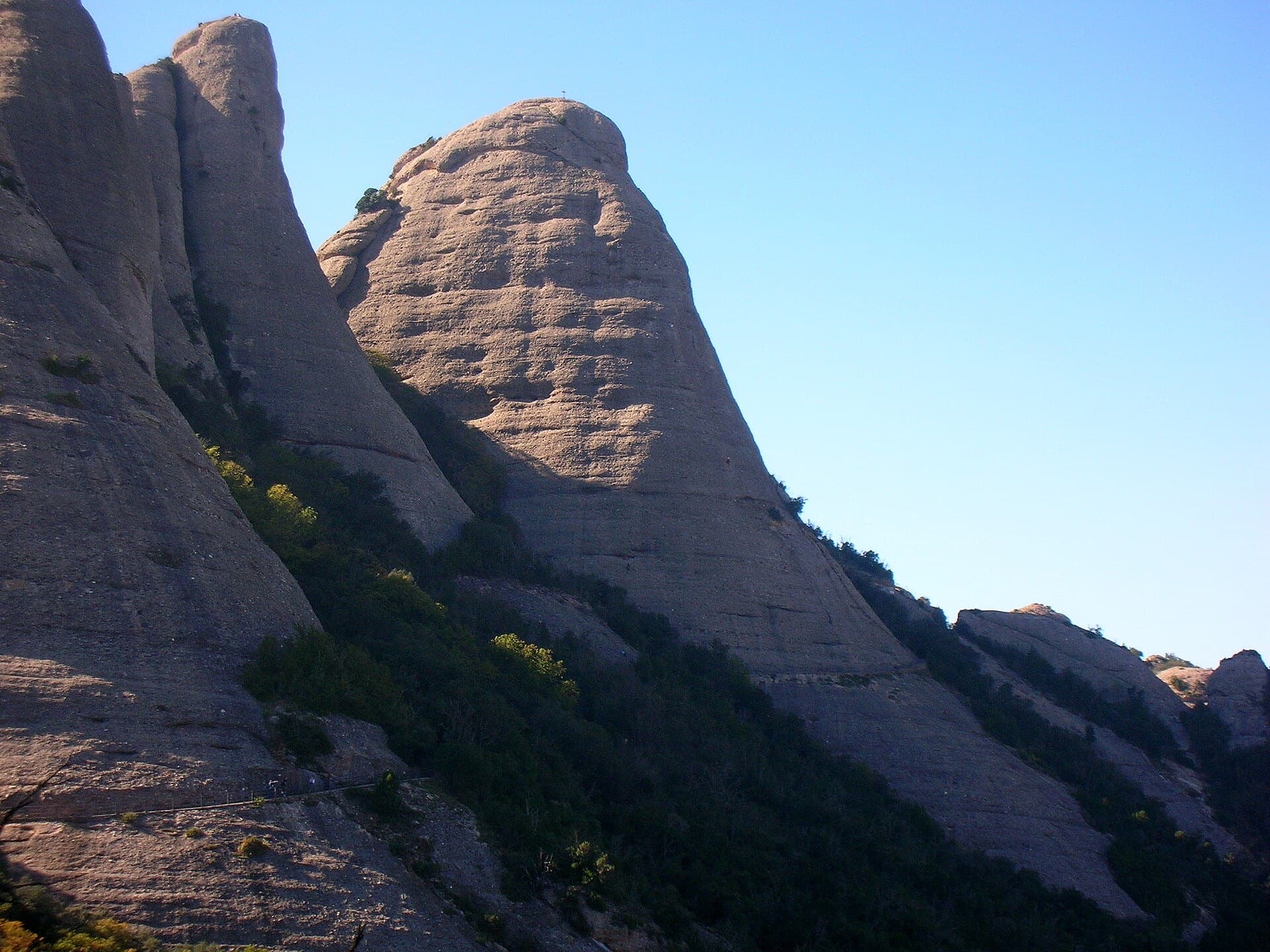
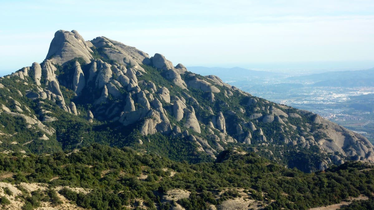
La Granota seen from the second belay of Pique Longue in October 2021. The upper pitches climb the pillar and summit needle above.Photo: phill06 · CC BY-NC-ND 3.0

Photo

La Granota seen from the second belay of Pique Longue in October 2021. The upper pitches climb the pillar and summit needle above.Photo: phill06 · CC BY-NC-ND 3.0
Hardest pitch
6a
Pitches
7
Length
130 m
Approach
15 min
Aspect
E
East-facing
Rope
2×30 m
2×40 m lets you skip one abseil

The route

Overview

A varied, well-bolted outing up La Granota, the 'frog' needle just above the monastery on the way to the Fra Garí viewpoint. Two pitches climb the plinth below the tourist path; after a walk along the path, three more climb the pillar, a short pocketed wall gives the 6a, and a final pitch takes the edge of the summit needle. The grades are steady at 5b with the 6a short, well protected and avoidable. Recent consolidation work on the needle added cables and metal ladders near the top, which now offer both a bypass of the 6a pitch and a way off. Allow about 4 hours for the climb.

The climbing

Pitch by pitch

Pitches of Pique Longue
PitchGradeLengthBoltsNotes
P15a+15 m5 boltsA slab to a belay on two bolts and a chain. Easy and well bolted.
P25b+25 m8 boltsUp and left across a corner, then a slab where the bolts are a little further apart and a 5b move is obligatory. Belay on three unlinked bolts. Then traverse left for 20 m, climb up to step over the wooden fence of the Fra Garí path, follow the path left to the base of the pillar (left of a metal plate and a water building) and go 10 m up the gully on the left to a small crack.
P35b30 m12 boltsThe slab following the crack, then straight up following bolts of different shapes and ages and the green marks, past two chained belays side by side, to two further chained belays. Sustained and the pitch parties like most. A small cam is possible before the first bolt but not needed.
P44c20 m4 boltsLeft up a slab that lies back, then a crack, leaving it leftwards. Three bolts and a peg. Belay on three linked bolts.
P55b20 m7 boltsRight, following the bolts up the right side of a slab, left of a crack. Pass a tree, then a rock thread with a cord, and squeeze through a narrowing without climbing to the abseil belay visible on the rock to the right. Belay at a tree at the foot of the 6a wall. Pitches 4 and 5 together are 37 m.
P66a8 m3 boltsA short wall of pockets: 6a using the wall alone, 5c with bridging, and good holds to clip the first two bolts. Belay on the cable. The pitch can be avoided on the right by the metal ladders. Then follow the cable towards the summit needle and clip into a bolt at the notch.
P75b+15 m7 boltsThe edge of the pillar, exposed and fine, to a belay of five linked bolts on the north side just below the summit.

Getting there

Approach

To the parking

Montserrat monastery, reached by road from Monistrol (BP-1121) or by FGC train from Barcelona (Manresa line) connecting with the rack railway or the cable car. Camptocamp suggests parking just above the hairpin at the monastery toll, which it describes as free, and walking up through the car parks; a 2016 party paid €6.50 for the day in the monastery car park, which fills early at weekends.

On foot · about 15 min

15 minutes from the monastery. Follow the track towards Sant Miquel and very soon leave it for a staircase on the right, signed Fra Garí, then a path towards the Miranda de Fra Garí. You quickly reach the foot of a rock band with several starts, including single-pitch routes. The route starts at the left end of the band, just right of a vegetated gully; do not climb the bank on the left. The first bolt has a green paint mark below it.

Map of the walk-in

  • Crag
  • Parking

Loading map

The point marks the crag, not the exact start of the route.

Coordinates · crag

41.59093, 1.83652

Point from camptocamp waypoint 1365868 (La Granota)

For your phone or watch

Download GPX

Contains the route point and parking. Opens in most mapping apps and GPS watches.

Points are compiled from published sources, with the precision stated above. They were not surveyed on the ground: check them against a current topo.

Getting down

Descent

By abseil, about 1 hour: from R7 to R6 bis, follow the cable and go down the ladder beside pitch 6, climb to the abseil station on the block above the narrowing, then R5 bis, R4, R3 and R2 bis; with 2×40 m you can skip R4. From the bottom follow the Fra Garí path, with its wooden fences, back to the track. On foot: after the first abseil to R6 bis, go down the ladders to the foot of the summit needle, then follow the cable up earthy gullies beside the needle for about 15 minutes to a viewpoint, and join the concrete track between Sant Joan and Sant Miquel. A 2025 party thought the walking exit took longer than two more abseils would have.

Retreat

Bailing off the route

Easy to bail

Camptocamp states that the belays are equipped for abseiling and abseiling the route is a normal descent. The pitches are short (8 to 30 m) and two of the breaks between them are on paths, so you can walk away after pitch 2 and again from the foot of the summit needle.

Retreat from
Any belay. After pitch 2 you are on the Fra Garí tourist path; from the cable above pitch 6 the ladders and cabled gullies lead off on foot.
Point of no return
None.
Carry
Two 30 m ropes, as for the normal descent.
Basis
Stated in the sourcesCamptocamp describes the abseil line belay by belay and the walking exits.

Safety

Hazards

  • You cannot hear your partner once past the narrowing at the end of pitch 5; a 2025 party stopped short at the rock thread by mistake.
  • The route crosses a tourist path and passes above walkers; take care not to knock anything off.
  • The cables and ladders near the top were installed for consolidation work on the needle and the layout there may change again.
  • The green paint marks that identify the line are fading.

Sun and weather

Conditions

East-facing between about 770 and 900 m, a few minutes above the monastery. A November 2025 party had full sun low down and shade on the last pitches. The first pitches were climbable in damp, misty weather in October 2021 when the north faces higher up were soaked.

Usual season · Mar to May, Oct to Nov

Sun on the wall · E-facing

Working out the sunlit hours for this month.

  • January: not yet worked out
  • February: not yet worked out
  • March (usual season): not yet worked out
  • April (usual season): not yet worked out
  • May (usual season): not yet worked out
  • June: not yet worked out
  • July: not yet worked out
  • August: not yet worked out
  • September: not yet worked out
  • October (usual season): not yet worked out
  • November (usual season): not yet worked out
  • December: not yet worked out

Sun on the wallDaylight, wall in shade● Usual season

Estimated from the wall's aspect only. Ignores surrounding terrain, gullies and the wall's exact shape. Clock times are local to the wall (Central European time), for the 15th of each month.

Monthly climate averages for Montserrat, 1991-2020
MeasureJanFebMar (usual season)Apr (usual season)May (usual season)JunJulAugSepOct (usual season)Nov (usual season)Dec
Mean daily high °C681113172124231915107
Mean daily low °C−3−30361013141071−2
Rain days 1 mm or more667109779121076

● marks the usual climbing season. Averages for 1991-2020 at about 1072 m. Area climate from Open-Meteo reanalysis. Temperatures are adjusted to the height of the crag; rain comes from a grid cell of about 10 to 25 km, and summer highs on sea cliffs can read a few degrees low. The wall and valley can differ. Data: Open-Meteo, CC BY 4.0.

What to carry

Gear

Two 30 m ropes (or longer), 12 quickdraws plus a long extender, and a sling for the tree belay. Helmet.

Checklist

Quickdraws
12
Rope
2×30 m (2×40 m lets you skip one abseil)
Helmet
One each
Abseil device and prusik
The descent or the retreat involves abseiling

Derived from the route data; check it against a current topo

From climbers

Reader reports

Reader reports are not being collected yet. Until they are, check a current topo and the local club or guidebook publisher for recent changes to Pique Longue.

Worth knowing

Tips

  • A November 2025 party left the car park at 09:00, topped out at 14:15 and was back at 16:00, walking off by the cables.
  • Being so close to the monastery it combines well with a second route higher up; one party went on to the Gorros the same afternoon.
  • The 6a wall has big holds for the first two clips and can be bypassed by the ladders.

Open questions

Where sources disagree

  • The Spanish-language camptocamp text grades pitches 1, 2 and 7 at a flat 5b and says the top belay is on the west side; the French text, updated in 2025, gives 5a+, 5b+ and 5b+ and the north side.
  • Only camptocamp could be read for this route; the three linked blog topos were not checked in detail.

Provenance

Sources

Same area

More in Montserrat

All routes in Montserrat
West side of the Gorros sector, Montserrat

Spain · Montserrat

Integral d'en Pitu i la Nuri

A modern linkup over two pinnacles on excellent conglomerate. Overhanging 6a and 6a+ walls alternate with easy 'potato-field' slabs. The new bolting makes it one of the most reassuring long lines in the massif.

6a+5 pitches185 m
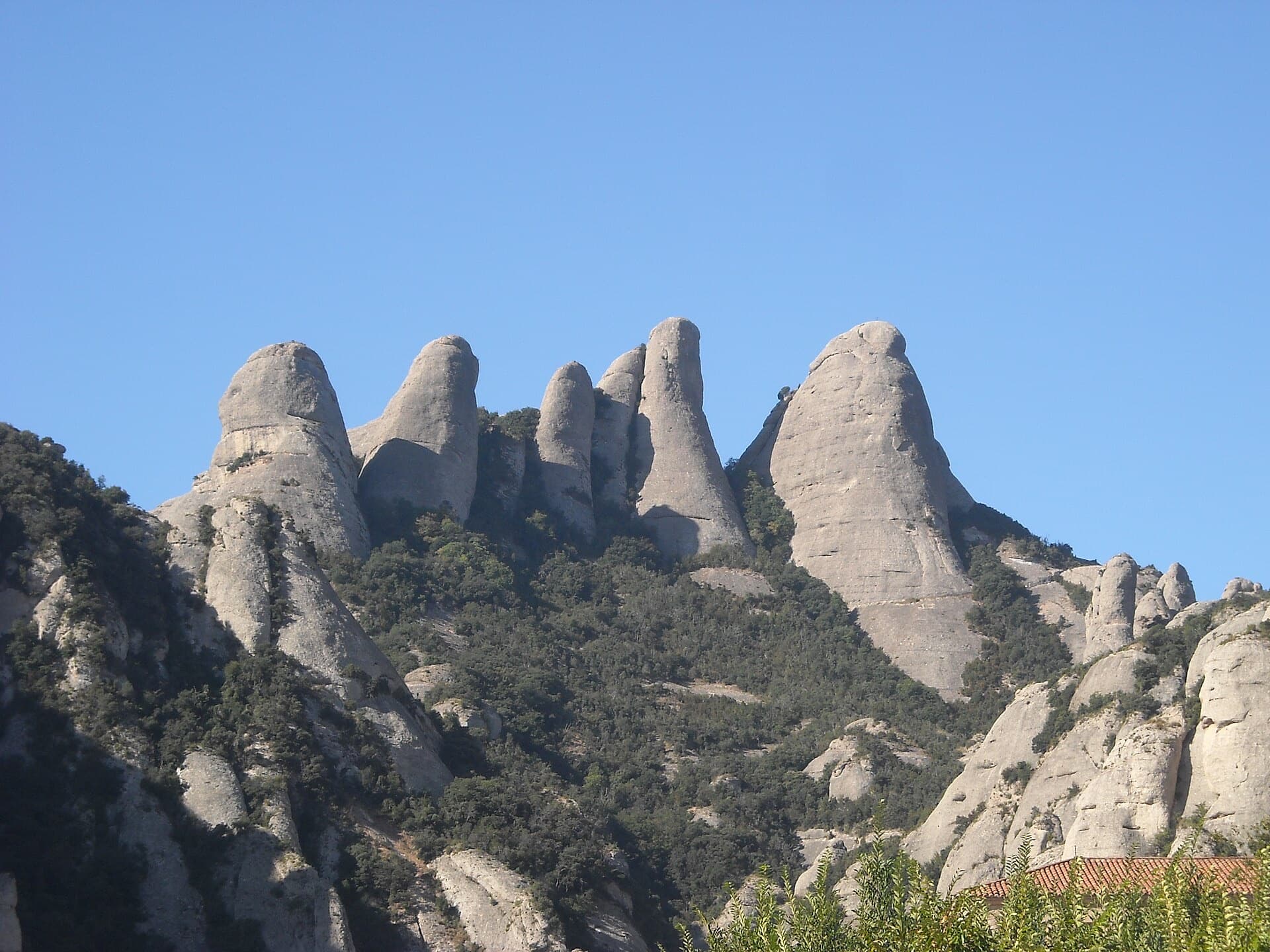
The Gorros of Montserrat from the monastery side: left to right the Gorra Marinera, the Magdalenes and the Gorra Frígia. Via Sargantanes climbs the Gorra Marinera, the left-hand tower.

Spain · Montserrat

Via Sargantanes

A popular first Montserrat multipitch close to the monastery. Steep pebble walls at 5b are split by easy slabs, finishing on an airy summit cap.

5b6 pitches145 m

Read the cautions

The Gorra Frígia, the Phrygian-cap tower of the Gorros, seen from the Camí Nou de Sant Jeroni, which passes the foot of its north-east side where Via del Carles starts. The line itself is not marked.

Spain · Montserrat

Via del Carles

A straightforward line up the 'Phrygian cap' visible from the monastery. Only the short vertical step on pitch 3 is sustained. It is a good route for learning Montserrat pebble technique and has a summit cross with a big view. The approach takes about 10 min from the Sant Joan funicular top.

5c5 pitches140 m

The Gorra Frígia seen from the Camí Nou de Sant Jeroni on the northern side of the Gorros, Montserrat. Via Stromberg climbs the north face; the line is not marked.

Spain · Montserrat

Via Stromberg

A shady north-face outing that suits warm days. Steady 5c pebble climbing leads to a short overhang crux (6a, or 5c/A0) and the summit cross.

6a4 pitches120 m

Around 6a · about 7 pitches

Similar elsewhere

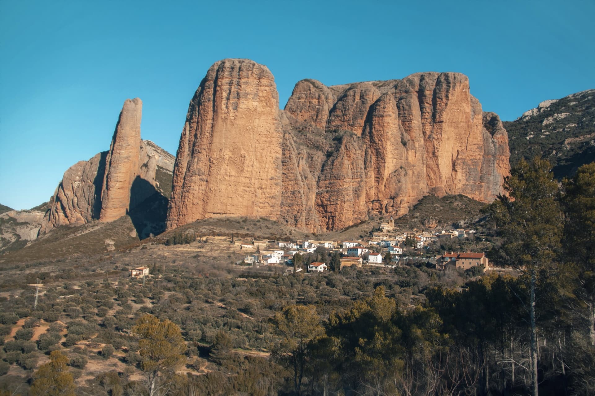
The classic view of Riglos from the south-west: the slender pinnacle of El Puro on the left, the great dome of Mallo Pisón beside it, and the main wall running right to La Visera above the village.

Spain · Riglos & Agüero (Mallos)

Espolón del Adamelo

This is the gentlest way to sample Riglos. Polished pockets and two bulging 'panzas' lead to a 6a crux that can be pulled through on the bolts (A0). The upper spur is easy, and the Pisón towers loom close by.

6a7 pitches175 m

Read the cautions

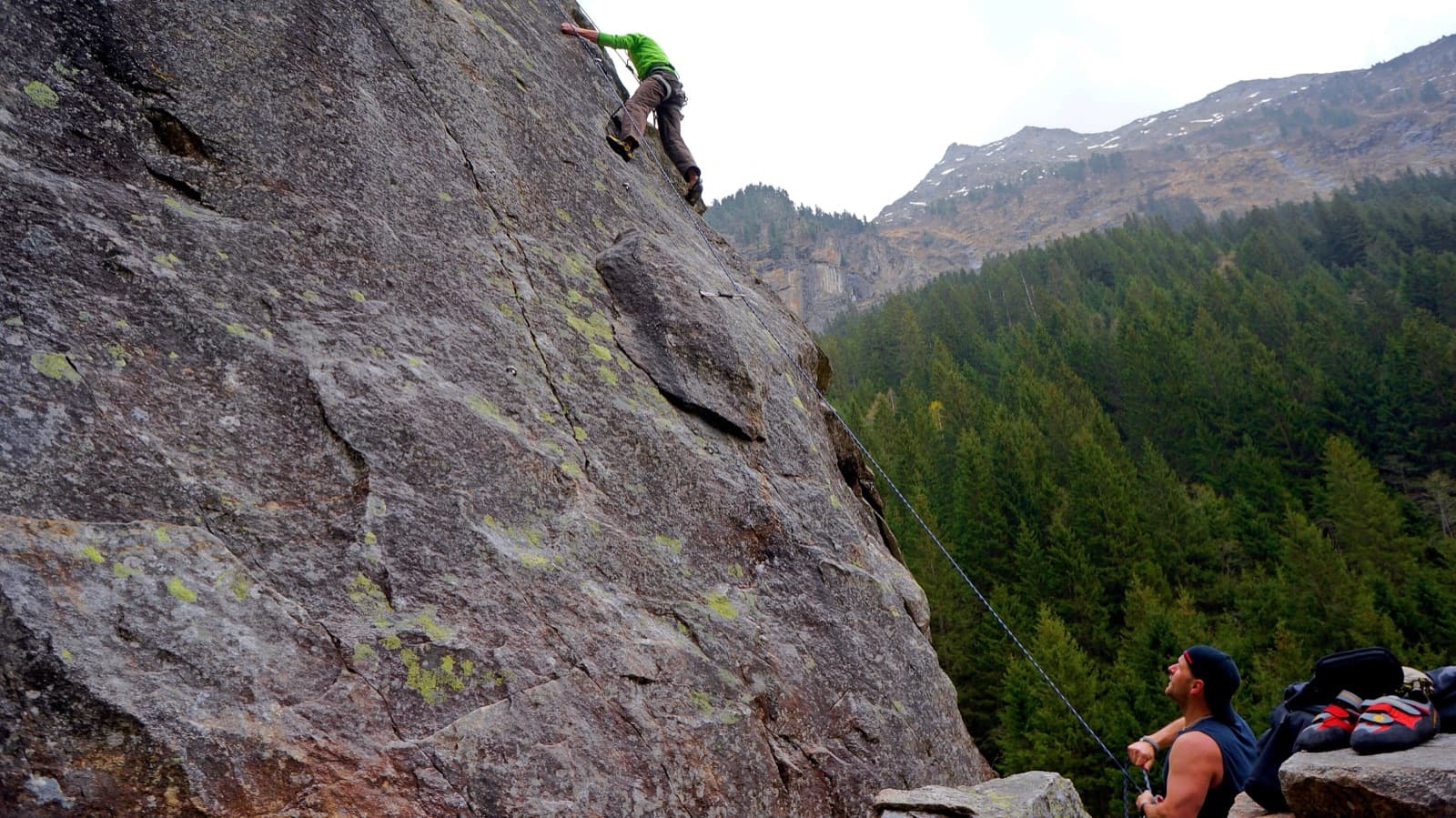
A view of the region, not this route's wall. Slab climbing at the Ewige Jagdgründe crag near Ginzling in the Zillertal; the Wiegelwand is the wall above this sector and is not in the picture.

Austria · Zillertal

Alpiner Spätaufsteher

A granite slab route beside a washed-out stream bed and a small waterfall, described as the new slab classic of the Zillertal. Mostly around UIAA 5 on fine slabs, with short harder passages and a 6/6+ exit. Never very exposed, with a view of the 3000 m peaks.

6a7 pitches255 m

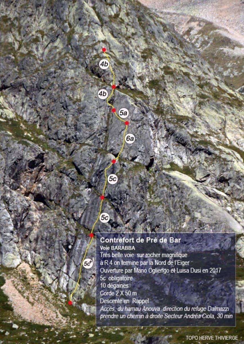
Topo of Barabba on the Contrefort de Pré de Bar, Val Ferret

Italy · Aosta Valley

Barabba

A pretty plaisir route on edgy, quartz-studded granite slabs beneath the Mont Blanc massif. The crux is a short bulge and steep juggy wall on P4. Camptocamp rates it 'great'.

6a7 pitches180 m

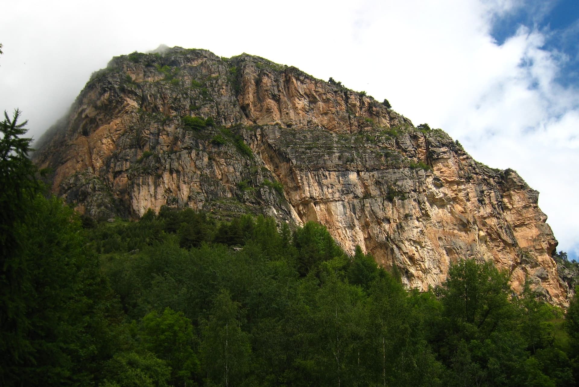
The multipitch wall of Le Ponteil above Champcella

France · Briançonnais

La diagonale de gauche

The gentlest way up the big limestone wall of Le Ponteil: short walls and slabs that slant leftwards across the south-west facet, with a ledge walk in the middle. Most of it is 4b to 5c on very featured rock; one well-bolted move round a block gives the 6a. It gets better as it goes, and pitches 4 and 6 are the ones people remember.

6a7 pitches200 m

Compiled from published sources and last verified October 2026. Bolts, anchors and access change. Climbing is dangerous and you are responsible for your own decisions: check a current topo and read the disclaimer.